The best gravel rides around Reiningen
4.4
(38)
289
riders
109
rides
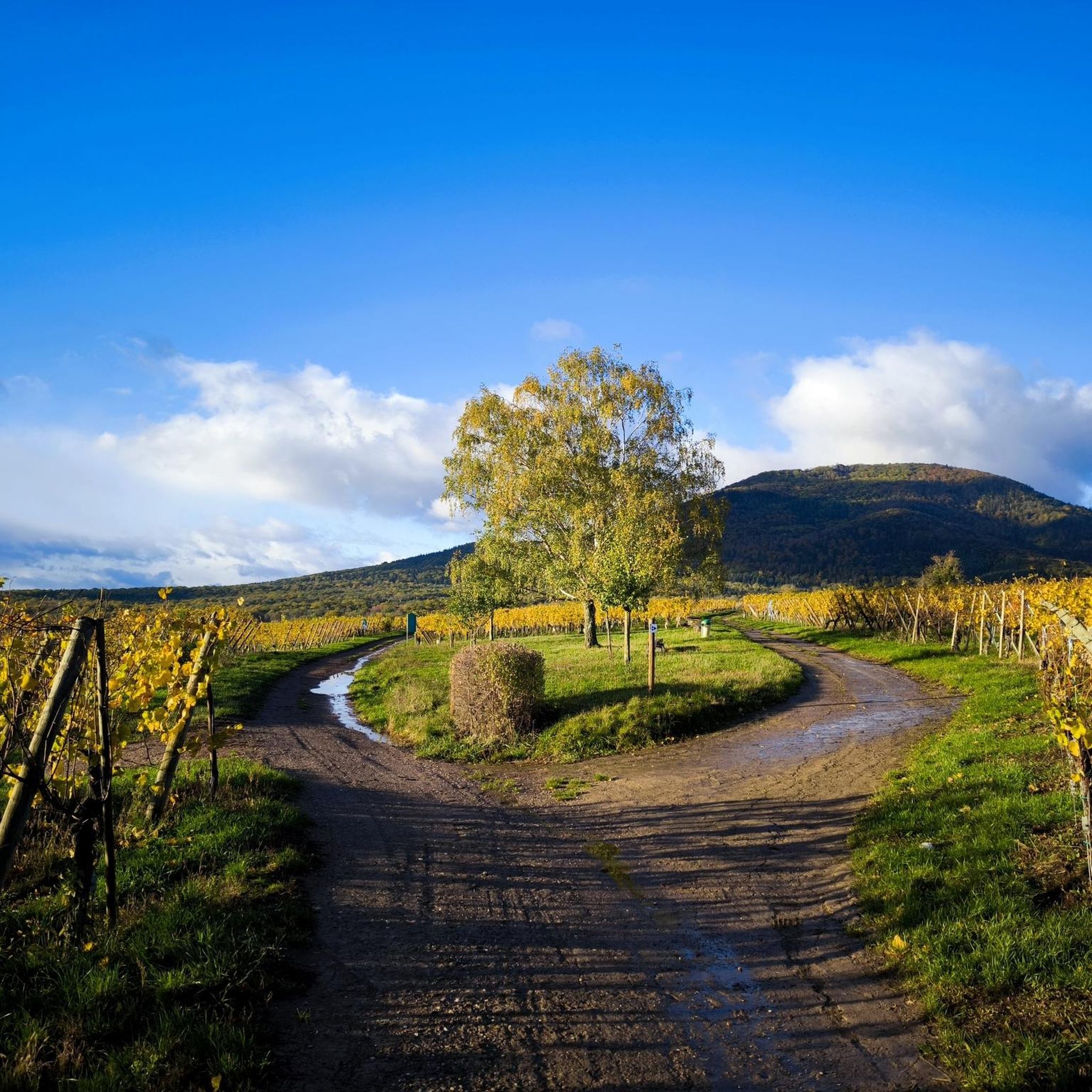
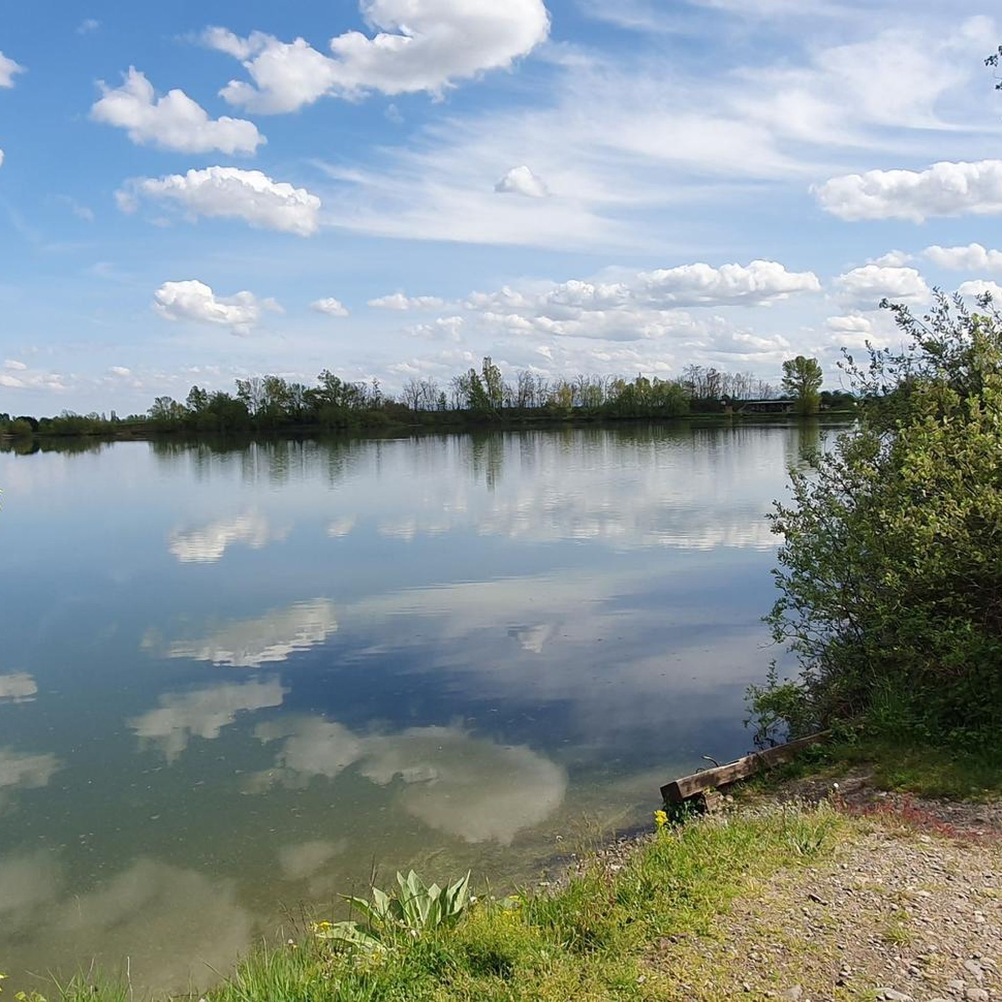
Gravel biking around Reiningen offers diverse terrain within the Grand Est region of France, characterized by its proximity to the Vosges mountains and the Thur River valley. The landscape features significant elevation changes, including mountain passes like Col Amic, and extends to lower-lying areas with riverine paths and lakes such as Michelbach Lake. This region provides a mix of unpaved roads and forest trails suitable for gravel biking.
Best gravel bike trails around Reiningen
- The most popular gravel bike trail…
Last updated: May 22, 2026
5.0
(3)
38
riders
46.9km
03:37
1,380m
1,380m
Hard gravel ride. Very good fitness required. Mostly paved surfaces. Suitable for all skill levels.
4.0
(1)
15
riders
25.6km
01:56
660m
660m
Hard gravel ride. Very good fitness required. Mostly paved surfaces. Suitable for all skill levels.

Sign up for free
4.5
(4)
12
riders
Moderate gravel ride. Good fitness required. Mostly paved surfaces. Suitable for all skill levels.
5.0
(2)
14
riders
93.3km
06:44
2,190m
2,190m
Hard gravel ride. Very good fitness required. Mostly paved surfaces. Suitable for all skill levels.
9
riders
31.2km
02:16
120m
120m
Moderate gravel ride. Good fitness required. Mostly paved surfaces. Suitable for all skill levels.
Get access to more routes and recommendations from other explorers.
Sign up for free
Already have an account?
Our route recommendations are based on thousands of hikes, rides, and runs completed by other people on komoot.
Start today with a free account
Your next adventure awaits.
Login or Signup
Tips from the Community

The chapel was built in 1930 on the site of a former wayside cross. It is dedicated to Saint Morand, a Cluny monk who became an apostle of the Sundgau region (11th century), patron saint of the parish of Steinbach and the village's winegrowers. It is also commonly known as Lohkapala.
0
0

The Cernay National Cemetery is a memorial dedicated to the soldiers who fell during the battles of Vieil-Armand and Steinbach in the summer of 1914. Created in 1920, it was designed to house the bodies exhumed from temporary military cemeteries in the region and was reorganized after World War II to include soldiers who died between 1940 and 1945. This cemetery contains 2,238 French bodies, as well as Czech, Russian, British, and Serbian combatants. Two ossuaries contain the remains of 938 combatants.
0
0

Road Surface quality is rather poor but manageable, and the view makes the climbing sorth it.
0
0

Great climb - a must for every road cyclist
0
0

The World War I Bunker Trail in Burnhaupt-le-Bas On the Bunker Trail, you can discover World War I fortifications built by the German army. After the fighting in the summer and autumn of 1914, the front in Upper Alsace stabilized on the Cernay-Dannemarie line. The municipal district of Burnhaupt-le-Bas remained on the German side. In December 1914 and January 1915, French offensives in this sector regularly clashed with the German lines. Numerous bunkers, command posts, and artillery posts. The tour can be done by mountain bike or on foot (hiking boots).
0
0

Numerous German Jewish (!) soldiers from the First World War are also buried in this cemetery.
2
0

Impressive cemetery from fortunately bygone times
3
0

The Château du Herrenfluh is a medieval ruin at an altitude of 858 metres. It was built in 1312 by Johan von Sankt Amarin, nicknamed Nordwind, and served as a lookout post for the princes-abbatons of Murbach. Due to its strategic location, the castle offered a panoramic view over Alsace, all the way to the foothills of the Jura. In 1376, it was captured by English mercenaries and later, in 1468, destroyed by the Swiss. During the First World War, the site was again used as a French observation post. Today, some ruins are still visible, and volunteers are working to preserve the remains. It is an interesting historical site along the Route des Crêtes.
7
0
Frequently Asked Questions
How many gravel bike trails are available in Reiningen?
Reiningen offers a wide selection of gravel biking routes, with over 125 trails available. This includes a diverse range of difficulties, from easier paths to challenging mountain ascents.
What are the difficulty levels of gravel biking routes around Reiningen?
The gravel biking routes around Reiningen cater to various skill levels. You'll find 12 easy routes, 58 moderate routes, and 55 difficult routes, ensuring options for beginners and experienced riders alike. The terrain varies from riverside paths to high-altitude mountain trails.
Are there any loop gravel bike trails in Reiningen?
Yes, many gravel bike trails in Reiningen are designed as loops, allowing you to start and end at the same point. For example, the Ascent to Col Amic – Col Amic Pass loop from Graffenwald offers a challenging circular ride through varied landscapes.
When is the best time of year for gravel biking in Reiningen?
The Grand Est region, where Reiningen is located, generally offers pleasant conditions for gravel biking from spring through autumn. Summer provides warmer weather, while spring and autumn offer cooler temperatures and beautiful scenery. Winter riding might be possible on lower elevation paths, but higher mountain routes could be affected by snow or ice.
What kind of terrain can I expect on gravel bike trails in Reiningen?
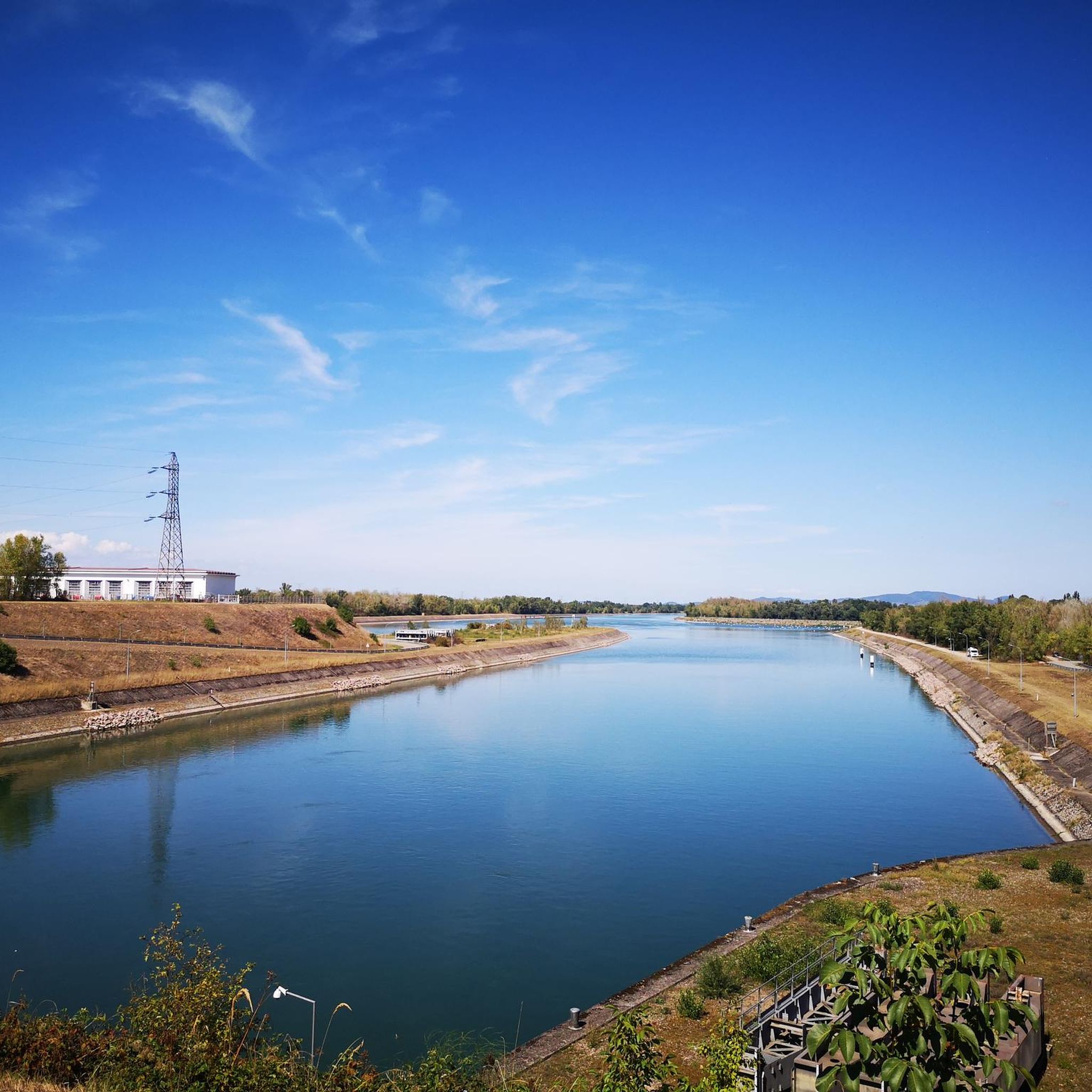
Gravel biking in Reiningen features diverse terrain, from unpaved roads and forest trails to significant elevation changes. You'll encounter mountain passes like Col Amic, riverine paths along the Thur River, and routes around lakes such as Michelbach Lake. The landscape is characterized by its proximity to the Vosges mountains and the Thur River valley.
What natural sights can I see along the gravel bike trails in Reiningen?
Many routes pass by beautiful natural features. You might encounter the serene Michelbach Lake, explore the unique Lower Rehfelsen Tunnels, or discover the Steinbach Square. The region's natural beauty is a highlight for many riders.
Are there any historical landmarks or interesting places to explore near the gravel routes?
Yes, the area around Reiningen has several interesting landmarks. You could pass by the historic Zillisheim Drawbridge and Lock No. 35, or even catch a glimpse of the intriguing The Witch's Eye (Engelbourg Castle). These add a cultural dimension to your ride.
Are there options for advanced gravel bikers looking for a challenge?
Absolutely. Reiningen offers challenging routes with significant elevation gains, perfect for advanced gravel bikers. The Grand Ballon – Hohneck loop from Cernay, for instance, is a difficult 58.0-mile path traversing high-altitude mountain terrain with over 2,000 meters of ascent.
Is parking available near the gravel bike trails in Reiningen?
While specific parking information for every trailhead isn't detailed, many routes start from towns or villages like Cernay, Mulhouse, or Aspach-le-Bas, where public parking is generally available. It's advisable to check the starting point of your chosen route for local parking options.
What do other gravel bikers say about the trails in Reiningen?
The gravel biking routes in Reiningen are highly rated by the komoot community, with an average score of 4.4 stars from over 30 reviews. More than 280 gravel bikers have explored the area, often praising the varied terrain, scenic views, and the mix of challenging ascents and pleasant riverside paths.
Are there family-friendly gravel biking options in Reiningen?
While many routes involve significant elevation, there are easier options suitable for families or those seeking a more relaxed ride. Look for routes categorized as 'easy' or those that follow river valleys, which tend to have less demanding terrain. The Along the Thur River – Beautiful blue metal bridge loop from Mulhouse Musées is a moderate option that follows a river, offering a more gentle experience.
Can I find routes with cafe stops or places to rest?
Many gravel routes in Reiningen pass through or near small towns and villages in the Grand Est region. These often provide opportunities for cafe stops, bakeries, or restaurants where you can refuel and rest. Planning your route with komoot allows you to identify such points of interest along the way.
Most popular attractions around Reiningen

Get inspired with the komoot mobile app


Explore more
Browse the best Gravel rides in other regions.
