The best MTB trails around Reiningen
4.4
(718)
3,244
riders
468
rides
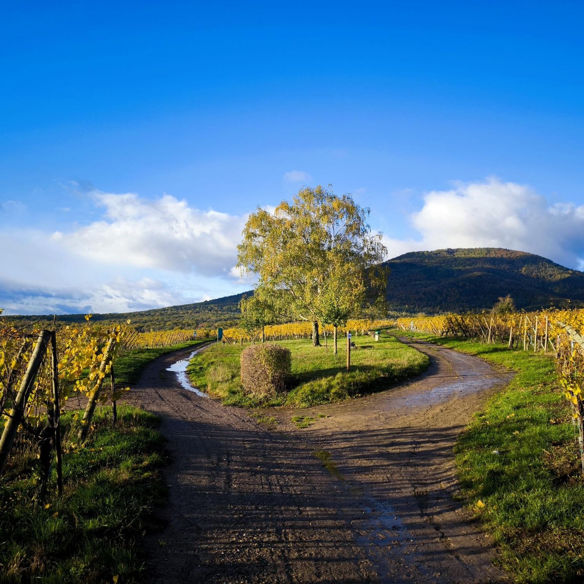
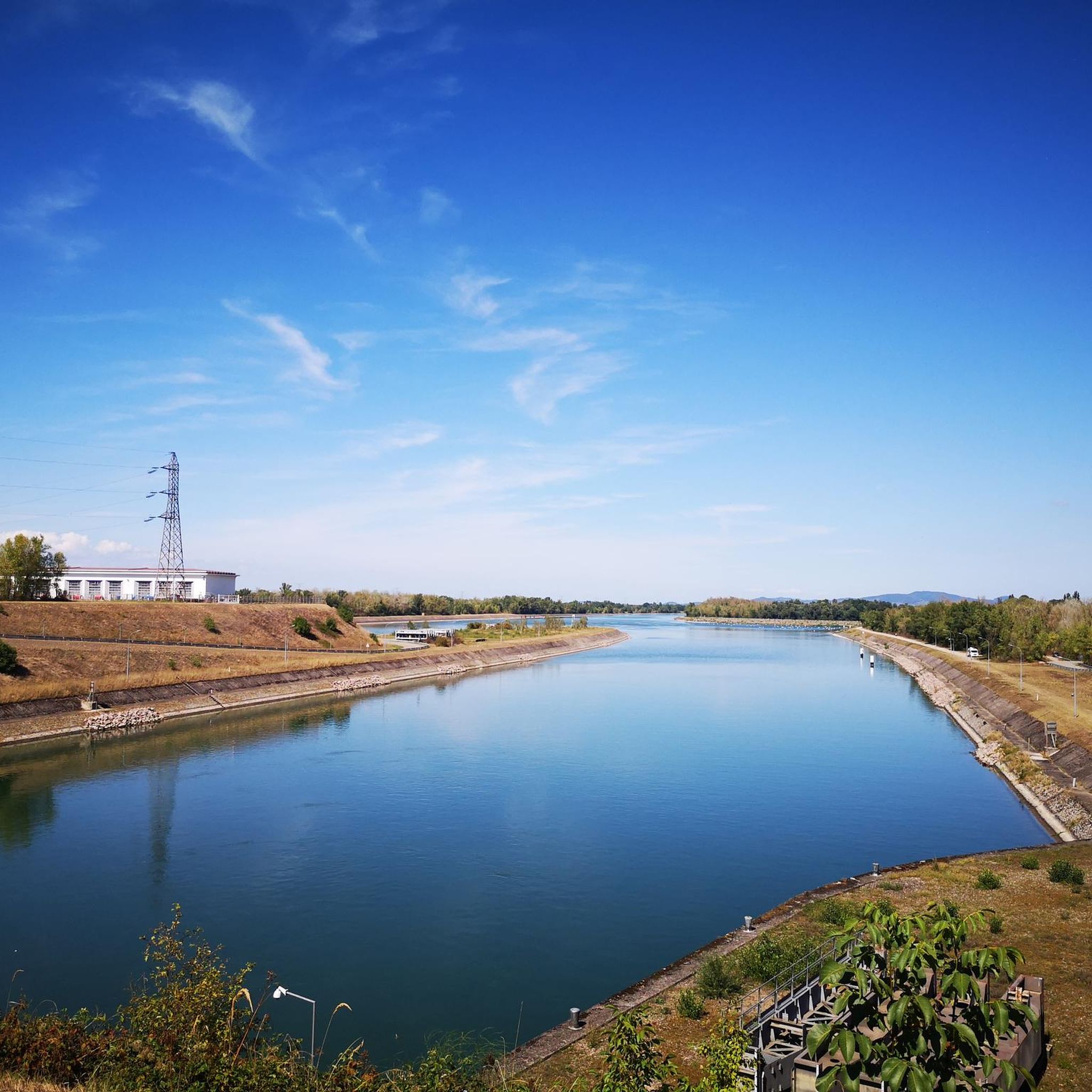
Mountain biking around Reiningen features a diverse landscape, characterized by river valleys, canals, and rolling hills. The region offers a mix of terrain, from paths alongside waterways like the Thur River and Canal du Rhône au Rhin, to trails through forested areas and open countryside. Elevations are generally moderate, providing varied riding experiences. This area is suitable for mountain bikers seeking routes that combine natural scenery with historical points of interest.
Best mountain bike trails around Reiningen
- The most popular…
Last updated: August 31, 2026
3.8
(4)
28
riders
47.8km
03:39
440m
440m
Moderate mountain bike ride. Good fitness required. Advanced riding skills necessary.
4.5
(2)
20
riders
38.2km
02:51
190m
190m
Moderate mountain bike ride. Good fitness required. Suitable for all skill levels.

Sign up for free
3.7
(7)
14
riders
32.5km
02:25
350m
350m
Moderate mountain bike ride. Good fitness required. Suitable for all skill levels.
4.3
(3)
20
riders
34.5km
02:29
180m
180m
Moderate mountain bike ride. Good fitness required. Suitable for all skill levels.
4.5
(4)
10
riders
44.8km
03:11
250m
250m
Moderate mountain bike ride. Good fitness required. Suitable for all skill levels.
Get access to more routes and recommendations from other explorers.
Sign up for free
Already have an account?
Our route recommendations are based on thousands of hikes, rides, and runs completed by other people on komoot.
Start today with a free account
Your next adventure awaits.
Login or Signup

Tips from the Community

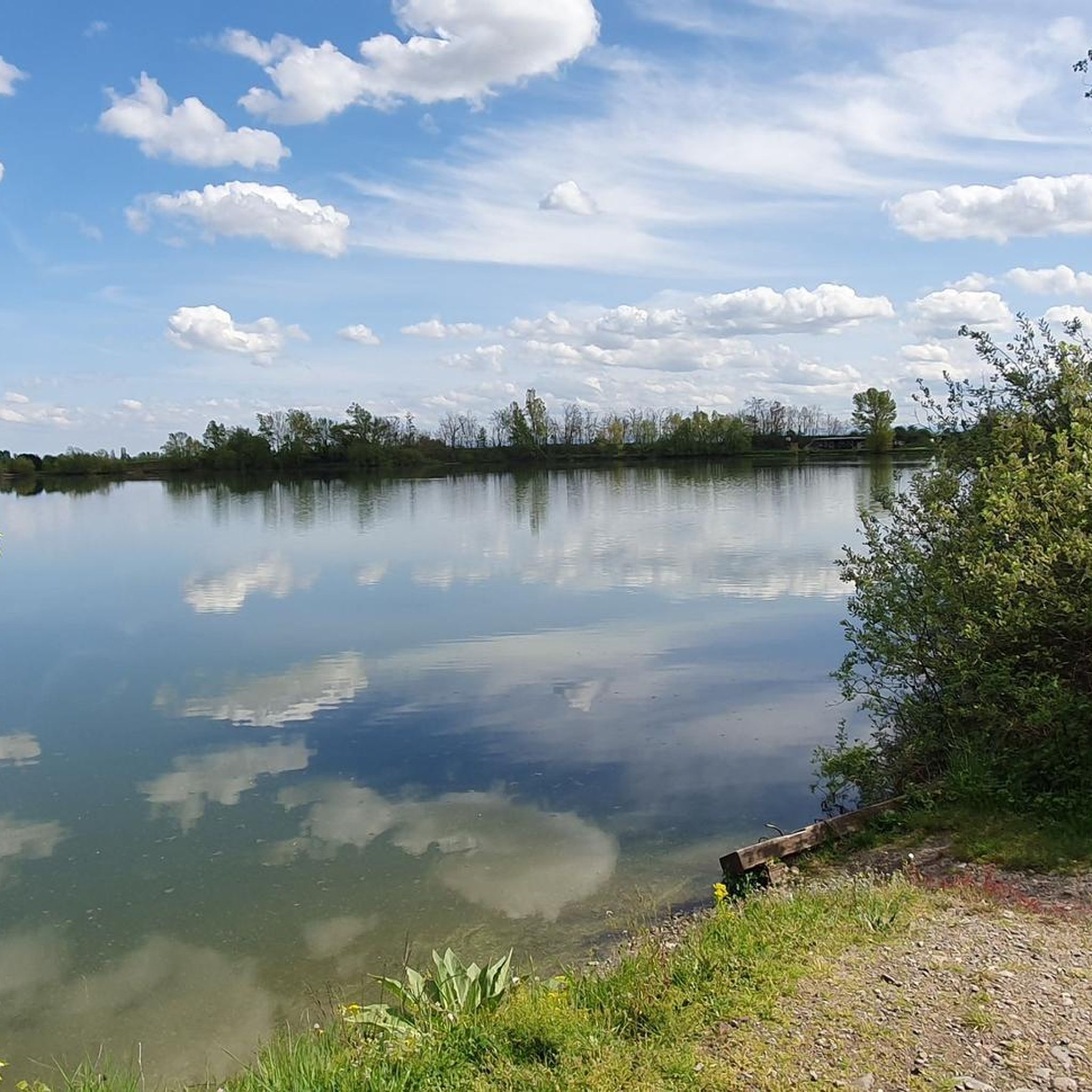
A beautiful fishing pond in the middle of the forest
0
0
Many walking opportunities nearby
0
0

Beautiful little chapel at the edge of the woods
0
0

The German soldiers who died in the Battle of Mühlhausen in August 1914 are buried there, including the first casualty of World War I. It's a bit off the beaten track and very well maintained.
0
0

The Illfurth German War Cemetery was established by the French military authorities in April 1920. As a collective cemetery, it housed some of the fallen soldiers from the battles of August 7 and 17, 1914. The transfer of war dead to Illfurth, who had been provisionally buried in 64 municipalities and districts during the war or who had died in French captivity, ended in 1924. Among those reburied was the first German casualty of the 1914-1918 War on the Western Front, Lieutenant Albert Mayer, who fell on August 2, 1914, while on patrol. The first French soldier also lost his life in this battle. Several memorials erected in field cemeteries during the war were also relocated to Illfurth.
8
0


At this crossing point you have to cross the Doller, it is not a stream but a river with a lot of current at this point. In summer when the weather is nice this can be possible and refreshing but in cold weather I strongly advise against it. When planning, be aware that this passage will be complicated and possibly to be avoided.
1
0

I have rarely seen drawbridges like this before and after our canal trip to Brittany I can only confirm this once again.
1
0
Frequently Asked Questions
What types of mountain bike trails can I find around Reiningen?
The Reiningen region offers a diverse range of mountain bike trails, from paths alongside waterways like the Thur River and Canal du Rhône au Rhin, to routes through forested areas and open countryside. You'll find a good mix of easy, moderate, and challenging options, with elevations generally being moderate.
Are there mountain bike trails suitable for beginners in Reiningen?
Yes, Reiningen has a significant number of trails suitable for beginners. There are over 140 easy mountain bike routes available. An excellent option to consider is the Petit Séminaire de Zillisheim – Canal du Rhône au Rhin loop from Reiningue, which is an easy 19.8-mile (31.9 km) trail.
What are the options for more advanced mountain bikers in Reiningen?
For experienced mountain bikers seeking a challenge, Reiningen offers nearly 60 difficult routes. These trails often feature more significant elevation changes and technical sections. You can explore these more demanding options to test your skills.
Are there any circular mountain bike routes in the Reiningen area?
Yes, many of the mountain bike trails around Reiningen are designed as circular routes, allowing you to start and finish in the same location. For example, the popular Michelbach Dam – Michelbach Lake loop from Graffenwald is a moderate 29.7-mile (47.7 km) circular trail.
What kind of natural sights or landmarks can I see along the trails?
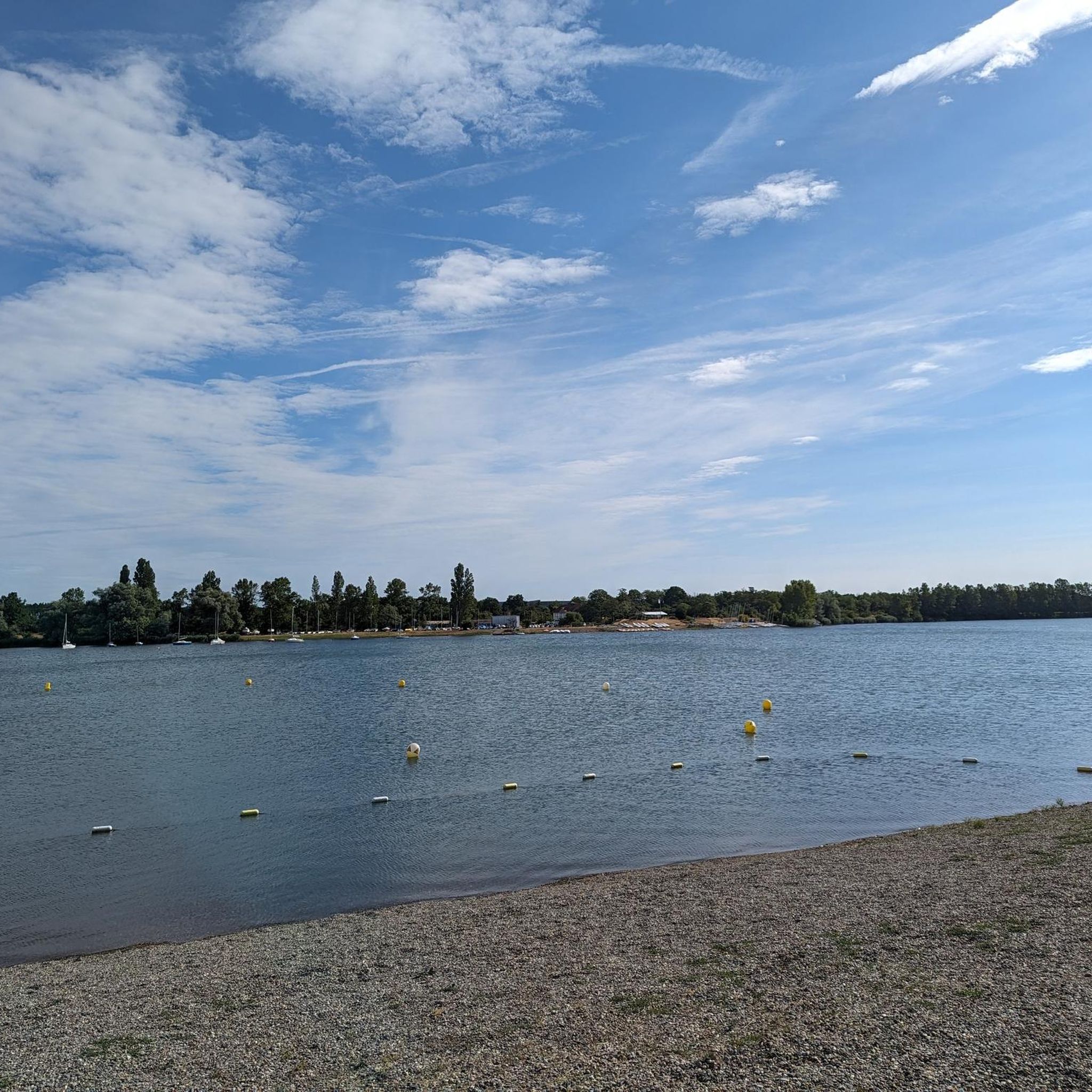
The trails around Reiningen offer a blend of natural beauty and historical points of interest. You might encounter sights such as the Zillisheim Drawbridge and Lock No. 35, the scenic Michelbach Lake, or even historical sites like The Witch's Eye (Engelbourg Castle). Many routes also follow the Thur River, offering picturesque riverside views.
What do other mountain bikers say about the trails in Reiningen?
The mountain bike trails in Reiningen are highly regarded by the komoot community, holding an average rating of 4.5 out of 5 stars from over 660 reviews. Riders frequently praise the diverse terrain, which combines river paths, canal-side trails, and forested sections, making for varied and enjoyable experiences.
Are there mountain bike routes that follow waterways?
Absolutely. The region is characterized by its river valleys and canals, providing many opportunities for scenic rides alongside water. A great example is the Along the Thur River – Beautiful blue metal bridge loop from Graffenwald, which offers beautiful views along the Thur River.
What is the typical distance for mountain bike trails in Reiningen?
Trail distances vary significantly, catering to different fitness levels and time commitments. You can find shorter routes, but many popular trails range from 20 to 30 miles (30 to 50 km). For instance, the Chapelle de la Loh – Château de Wattwiller loop from Graffenwald is a moderate 22.5-mile (36.2 km) ride.
Is public transport accessible for reaching mountain bike trails in Reiningen?
While specific public transport connections to every trailhead can vary, the Reiningen region generally has public transport options that can get you close to many starting points. It's advisable to check local bus or train schedules for the most convenient access to your chosen route's starting location.
Are there mountain bike trails that go through vineyards?
Yes, some routes in the Reiningen area traverse or offer views of vineyards, particularly along the Thur River. The In den Weinbergen – Bridge over the Thur loop from Graffenwald is one such moderate trail that takes you through vineyard landscapes.
What is the best season for mountain biking in Reiningen?
The spring, summer, and autumn months generally offer the best conditions for mountain biking in Reiningen. Spring brings lush greenery, summer provides warm weather, and autumn showcases beautiful foliage. Always check local weather forecasts and trail conditions before heading out, especially after heavy rain.
Most popular routes around Reiningen
Most popular attractions around Reiningen

Get inspired with the komoot mobile app


Explore more
Browse the best MTB trails in other regions.
