The best gravel rides around Real Sitio De San Ildefonso
4.0
(14)
387
riders
49
rides
Gravel biking around Real Sitio De San Ildefonso offers routes through varied terrain, characterized by the foothills of the Sierra de Guadarrama. The region features extensive pine forests, river valleys like the Eresma Greenway, and mountain passes. These landscapes provide a mix of challenging climbs and scenic paths suitable for gravel cyclists.
Best gravel bike trails around Real Sitio De San Ildefonso
- The most popular gravel bike trail is Plaza de España, Rascafría – Matafrailes Bridge loop from Rascafría,…
Last updated: July 8, 2026
3.5
(2)
52
riders
101km
08:06
1,390m
1,390m
Hard gravel ride. Very good fitness required. Mostly paved surfaces. Suitable for all skill levels.
33
riders
57.1km
04:53
900m
900m
Hard gravel ride. Very good fitness required. Mostly paved surfaces. Suitable for all skill levels.

Sign up for free
4.0
(2)
28
riders
46.2km
03:39
1,060m
1,060m
Hard gravel ride. Very good fitness required. You may need to push your bike for some segments of this route.
3.3
(3)
34
riders
25.2km
01:48
610m
610m
Hard gravel ride. Very good fitness required. Mostly paved surfaces. Suitable for all skill levels.
3.0
(1)
17
riders
108km
08:42
1,510m
1,510m
Hard gravel ride. Very good fitness required. Mostly paved surfaces. Suitable for all skill levels.
Get access to more routes and recommendations from other explorers.
Sign up for free
Already have an account?
Our route recommendations are based on thousands of hikes, rides, and runs completed by other people on komoot.
Start today with a free account
Your next adventure awaits.
Login or Signup
Popular around Real Sitio De San Ildefonso

Height Challenges — Ports in Castilla y León
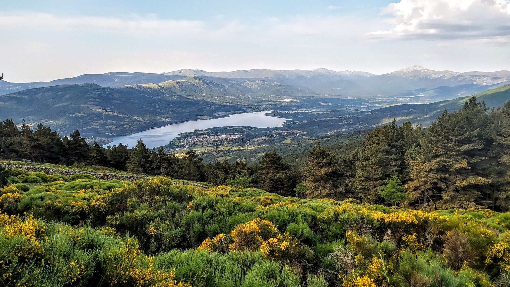
Forests and palaces – Tour of the Sierra de Guadarrama Mountain Range on MTB
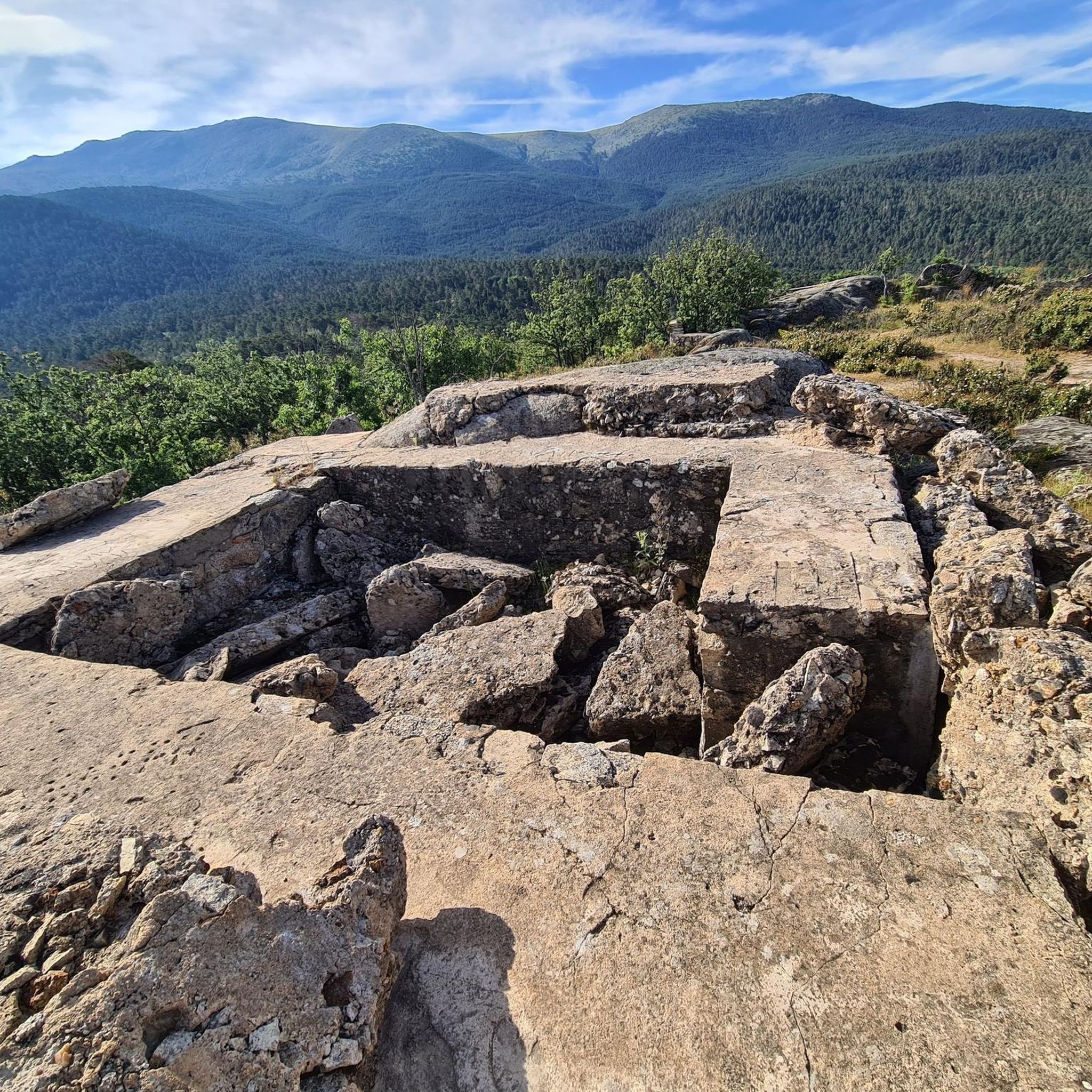
Hiking around Real Sitio De San Ildefonso
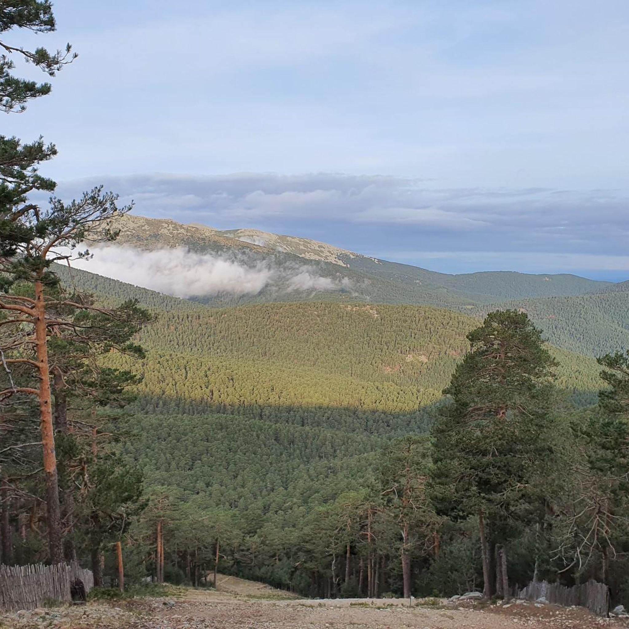
Running Trails around Real Sitio De San Ildefonso
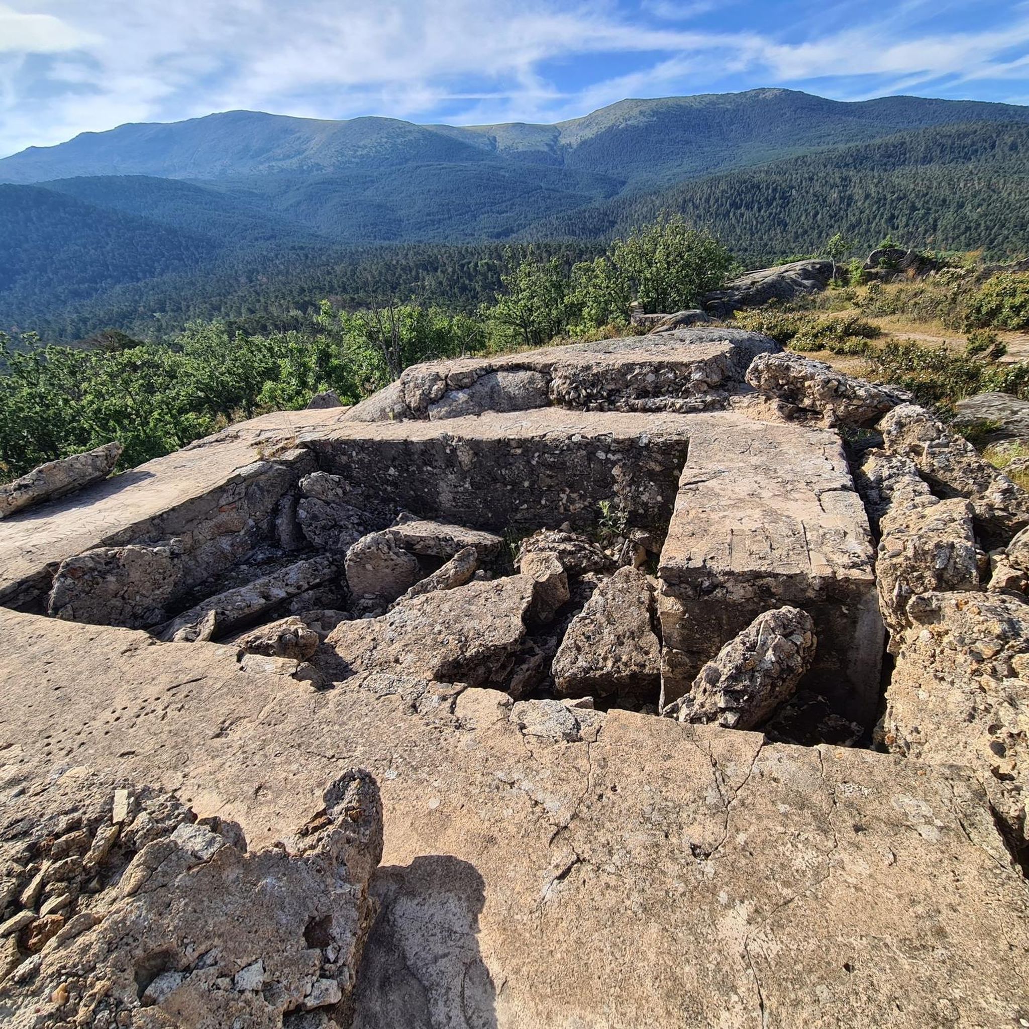
MTB Trails around Real Sitio De San Ildefonso
Road Cycling Routes around Real Sitio De San Ildefonso
Cycling around Real Sitio De San Ildefonso
Mountain Hikes around Real Sitio De San Ildefonso


Tips from the Community

Key Facts: Cela Sundial Location: It is located in the Pradera de Navarrulaque (Cercedilla), at an altitude of about 1,670 meters, right on the Carretera de la República. History: Inaugurated in 1995, it is a tribute to the writer (a great lover of the mountains and author of Cuadernos del Guadarrama) and to the first hikers who traversed these mountains. Curiosity: It is an analemmatic sundial. This means it does not have a fixed needle; you are the clock yourself. You have to stand on the current date marked on the ground, and your own shadow will indicate the time on the stone pieces surrounding you. Surroundings: It is on a beautiful route that passes by the Ducha de los Alemanes and the Miradores de los Poetas. I love this sundial in honor of Cela. It's super original because you interact with it to know the time. It's in a privileged spot in the Sierra de Cercedilla, surrounded by pine trees and with a lot of peace. A "rural monument" with a lot of charm that I never tire of visiting on my hikes through the Valle de la Fuenfría.
0
0
Poetry with the best views of the sierra Climbing up to the Mirador de Vicente Aleixandre is, for me, one of the most inspiring experiences in Cercedilla. It's not just the hike through the Valle de la Fuenfría, which is beautiful, but the moment you reach that rock and read its sculpted verses while contemplating Siete Picos. You breathe in an incredible peace. It's the perfect place to stop, sit down to rest, and feel part of the landscape that the poet loved so much.
0
0

Exceptional water, which even people from the village come to collect.
0
0

It is located in the Sierra de Guadarrama mountain range, between the municipalities of Miraflores de la Sierra and Rascafría, in the Community of Madrid. From Miraflores de la Sierra (1200m), the route ascends approximately 600m over 10km (average gradient 4–6%), and after reaching the summit, it descends 13km to Rascafría (1150m) with a gradient of 4.5–7%.
6
0
A comfortable trail with incredible views. As an added bonus, you can descend to the Mojonavalle waterfall. A truly beautiful cascade.
1
0
The Vicente Aleixandre viewpoint, or Poets' Viewpoint, offers an unbeatable view of the entire mountain range. Cercedilla lies at our feet, the Bola del Mundo peak rises above, and some verses are engraved on the rock to commemorate the recitals that were once held there.
1
0
Fountain with fresh, good water. A must-stop before starting the Fuefría route.
0
0

Beautiful place and beautiful river, with water, as it was flowing today.
0
0
Frequently Asked Questions
How many gravel bike trails are available in Real Sitio De San Ildefonso?
There are over 35 gravel bike trails available in Real Sitio De San Ildefonso, offering a wide range of options for different skill levels and preferences.
Are there any easy gravel bike trails suitable for beginners?
While many routes in the region are challenging, there is at least one easy gravel bike trail. For example, the Plaza de España, Rascafría – Matafrailes Bridge loop from Rascafría is categorized as easy, though it is a long route at 63 miles (101.3 km).
What are some challenging gravel bike routes in Real Sitio De San Ildefonso?
The region is known for its challenging routes. A notable difficult option is the La Morcuera Pass – Canencia Pass loop from Rascafría, which covers 35.5 miles (57.1 km) and traverses two significant mountain passes. Another demanding ride is the Arco de la Fuencisla – Turégano Castle loop from Estación de Segovia, a 109 km route with substantial elevation gain.
Are there any circular gravel bike routes around Real Sitio De San Ildefonso?
Yes, many of the gravel bike trails in the area are loops. For instance, the Eresma Greenway – Pine Forests of Segovia loop from Estación de Segovia offers a 52.5 miles (84.6 km) circular journey through riverine greenways and dense pine forests.
What is the best season for gravel biking in Real Sitio De San Ildefonso?
The foothills of the Sierra de Guadarrama offer varied conditions. Spring and autumn are generally ideal, with pleasant temperatures and vibrant landscapes. Summer can be hot, especially at lower elevations, while winter may bring snow to higher passes, making some routes more challenging or inaccessible.
Are there any scenic gravel bike routes with viewpoints?
Many routes offer panoramic views due to the mountainous terrain. The La Morcuera Pass – Canencia Pass loop from Rascafría, for example, is renowned for its sustained climbs and the panoramic vistas from its mountain passes. The region's pine forests and river valleys also provide picturesque scenery.
What can I see along the gravel bike trails in terms of historical sites or natural landmarks?
The region is rich in attractions. You might encounter historical sites like the Alcázar of Segovia or the Palacio de Riofrío. For natural beauty, consider routes near the Boca del Asno Gorge or the Purgatory Waterfall.
Are there any dog-friendly gravel biking options in the area?
While specific routes aren't designated 'dog-friendly' for cycling, many trails pass through natural areas like pine forests and greenways where dogs are generally permitted on a leash. Always check local regulations for specific areas, especially within natural parks or protected zones, to ensure your dog is welcome.
What do other gravel bikers enjoy most about gravel biking in Real Sitio De San Ildefonso?
The area is highly rated by the komoot community, with an average score of 4.0 stars. Reviewers often praise the varied terrain, from extensive pine forests to challenging mountain passes, and the sense of adventure offered by the long-distance endurance routes.
Is parking available near the gravel bike trails?
Yes, parking is generally available at common starting points for routes, such as in towns like Rascafría or near Estación de Segovia. It's advisable to check specific route descriptions on komoot for detailed parking information at the trailhead.
Are there any cafes or places to refuel near the gravel trails?
Routes often start or pass through towns and villages where you can find cafes and restaurants to refuel. For example, routes originating from Rascafría or Estación de Segovia will have amenities nearby. Planning your route with komoot allows you to identify points of interest, including cafes, along your chosen path.
Are there any wild swimming spots near the gravel trails?
The region features river valleys like the Eresma Greenway, and some natural highlights include gorges and waterfalls. While not explicitly designated for wild swimming, spots like the Boca del Asno Gorge or areas near the Purgatory Waterfall might offer opportunities, but always exercise caution and respect local regulations regarding swimming in natural waters.
Most popular routes around Real Sitio De San Ildefonso
Most popular attractions around Real Sitio De San Ildefonso

Get inspired with the komoot mobile app


Explore more
Browse the best Gravel rides in other regions.
