The best mountain hikes around Real Sitio De San Ildefonso
4.9
(8)
146
hikers
18
hikes
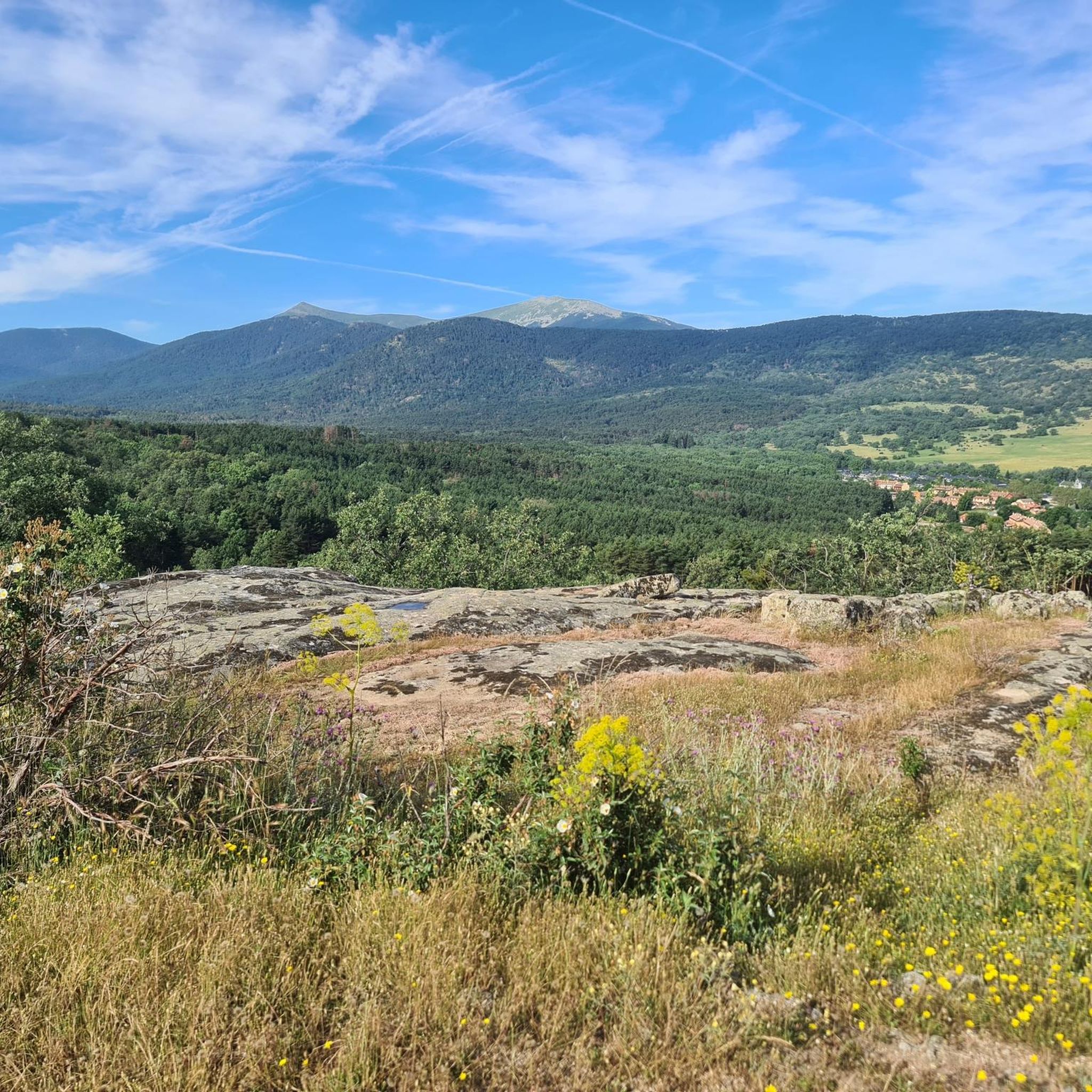
Mountaineering routes Real Sitio De San Ildefonso are situated on the southern slopes of the Sierra de Guadarrama mountains, within the Parque Nacional de la Sierra de Guadarrama. This region is characterized by high-altitude terrain, including prominent peaks like Peñalara at 2,428 meters, and extensive Valsaín pine forests. The landscape also features granite climbing walls and numerous water sources, contributing to diverse mountaineering opportunities.
Best mountaineering routes around Real Sitio De San Ildefonso
- The most popular mountaineering route is Cotos…
Last updated: July 1, 2026
5.0
(2)
37
hikers
11.0km
04:36
570m
570m
Hard mountaineering route. Good fitness required. Sure-footedness, sturdy shoes and alpine experience required.
5.0
(1)
36
hikers
11.0km
04:36
570m
570m
Hard mountaineering route. Good fitness required. Sure-footedness, sturdy shoes and alpine experience required.

Sign up for free
5.0
(1)
16
hikers
11.3km
05:35
740m
740m
Hard mountaineering route. Very good fitness required. Sure-footedness, sturdy shoes and alpine experience required.
5.0
(1)
16
hikers
Moderate mountaineering route. Good fitness required. Mostly accessible paths. Sure-footedness required.
5.0
(1)
8
hikers
14.6km
06:29
810m
810m
Hard mountaineering route. Very good fitness required. Sure-footedness, sturdy shoes and alpine experience required.
Get access to more routes and recommendations from other explorers.
Sign up for free
Already have an account?
Our route recommendations are based on thousands of hikes, rides, and runs completed by other people on komoot.
Start today with a free account
Your next adventure awaits.
Login or Signup
Popular around Real Sitio De San Ildefonso

Height Challenges — Ports in Castilla y León
Forests and palaces – Tour of the Sierra de Guadarrama Mountain Range on MTB
Hiking around Real Sitio De San Ildefonso
Running Trails around Real Sitio De San Ildefonso
MTB Trails around Real Sitio De San Ildefonso
Road Cycling Routes around Real Sitio De San Ildefonso
Cycling around Real Sitio De San Ildefonso

Gravel biking around Real Sitio De San Ildefonso


Tips from the Community

Highest peak between Madrid and Segovia.
0
0

To ascend it, you must carry the appropriate equipment in snow/ice, an ice axe and crampons. And be very careful with crevasses and cornices. You can also reach its summit from the normal route to Peñalara (Dos Hermanas).
0
0

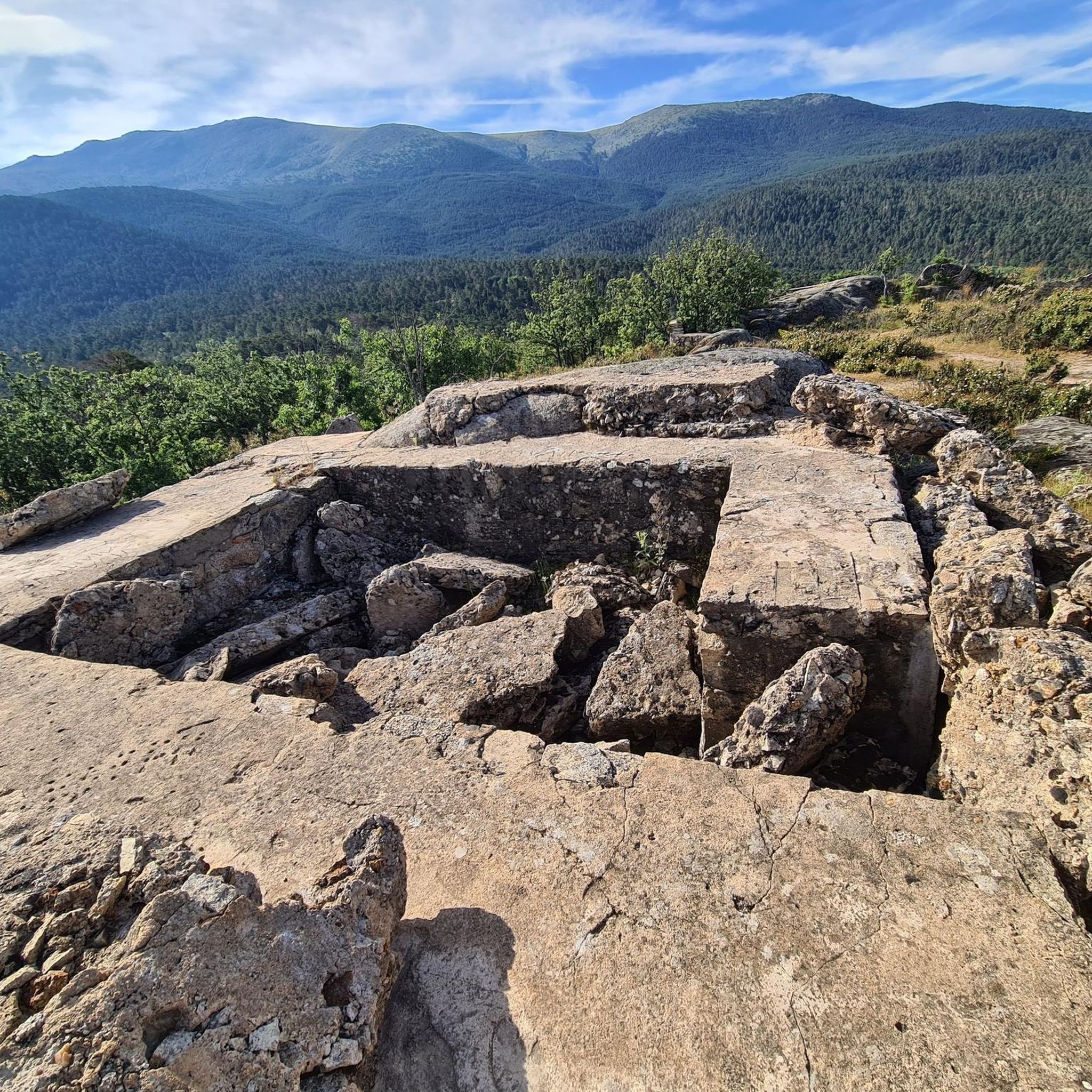
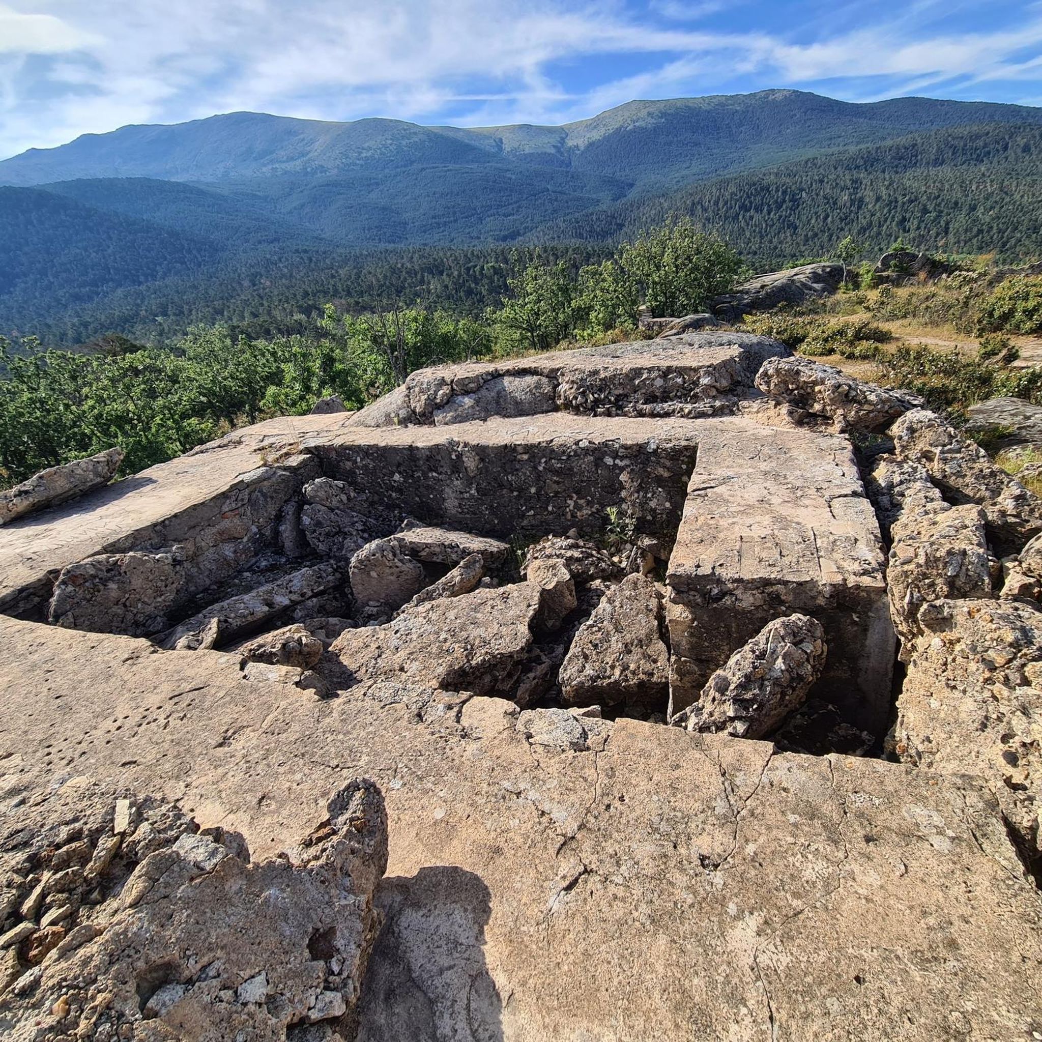
The name comes from the stone boundary markers erected in the 18th century to demarcate lands acquired by Charles III for hunting. During the Spanish Civil War, it was a strategic area with a Republican detachment stationed there. It formerly housed the Valcotos ski resort, which no longer exists.
1
0

There's a fountain as you reach the top on the right. Follow the cobblestone path.
0
1
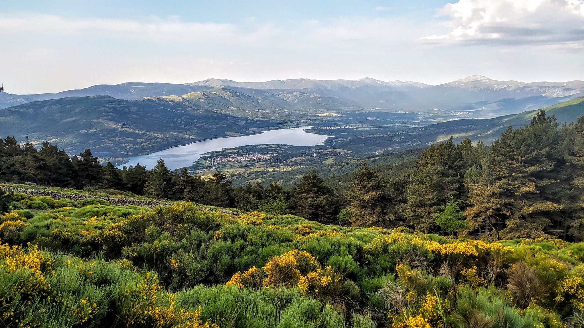
Tired from the climb, you sit down sheltered from the wind and eat a snack. If it's not windy or cold, look toward Peñalara and make out the landscapes and lagoons. Look toward the Bola del Mundo and admire the scenery. Look toward La Cuerda Larga and explore its grandeur.
1
0
Very special place in Spring.
0
0

True! A good place to observe the peaks of the Cuerda Larga and learn the names of the peaks. The route along the Cuerda Larga is spectacular, but you can see how much snow there is now. The route is very beautiful, but it does involve some risk, but when it thaws, the route is safer. But with good equipment, the snow is incredibly attractive.
0
0

stop and learn, of course, you have to know what peaks are.
0
0
Frequently Asked Questions
How many mountaineering routes are available in Real Sitio De San Ildefonso?
There are over 20 mountaineering routes around Real Sitio De San Ildefonso, offering a wide range of experiences within the Sierra de Guadarrama mountains. These routes cater to various skill levels, from moderate ascents to more challenging high-mountain expeditions.
What are the typical difficulty levels for mountaineering in this region?
The mountaineering routes in Real Sitio De San Ildefonso primarily range from moderate to difficult. You'll find 9 moderate routes, perfect for those with some experience, and 14 difficult routes for more seasoned mountaineers seeking a challenge in the high-altitude terrain of the Sierra de Guadarrama.
What do other mountaineers enjoy most about the routes here?
The komoot community highly rates the mountaineering in Real Sitio De San Ildefonso, with an average score of 4.8 stars from 10 reviews. Mountaineers often praise the diverse terrain, from the prominent peaks like Peñalara to the extensive Valsaín pine forests, and the rewarding views of the Guadarrama range.
Are there any circular mountaineering routes available?
Yes, many routes in the area are circular, allowing you to start and finish at the same point. For example, the Cotos Pass – Peñalara Summit loop from Cotos is a popular circular option that takes you to the prominent Peñalara summit. Another great choice is the La Maliciosa (2,227 m) loop from Antiguo Apeadero de Dos Castillas.
What kind of natural attractions can I expect to see along the mountaineering routes?
The region is rich in natural beauty. You can discover stunning waterfalls like the Purgatory Waterfall and Chorro Grande Waterfall. The routes also pass by impressive natural monuments such as the Peñalara Glacial Cirque and the Boca del Asno Gorge, offering diverse landscapes to explore.
Are there any specific routes that feature waterfalls?
Absolutely. The Hielo Pulmones Waterfall loop from Cotos is a fantastic option specifically designed to take you through mountainous terrain featuring beautiful waterfalls. You'll also find other cascades and water features throughout the Valsaín pine forest area.
What is the best time of year for mountaineering in Real Sitio De San Ildefonso?
The best time largely depends on your preferred activity. For general high-mountain hiking and mountaineering, spring and autumn offer pleasant temperatures and stable conditions. During winter, from December to March, the Peñalara area and Puerto de los Cotos become ideal for snowshoeing and cross-country skiing, benefiting from reliable natural snow.
Are there any less crowded mountaineering options?
While popular peaks like Peñalara can see more visitors, exploring routes that venture into the Valsaín pine forest or lesser-known trails can offer a more tranquil experience. Consider routes that explore the broader Sierra de Guadarrama beyond the most frequented summits to find more solitude.
Are there any specific permits required for mountaineering in the Sierra de Guadarrama National Park?
Generally, permits are not required for standard hiking and mountaineering on marked trails within the Sierra de Guadarrama National Park. However, for specific activities like rock climbing or accessing certain restricted areas, it's always advisable to check the official regulations of the National Park for any specific requirements or seasonal restrictions.
What are some notable landmarks or historical sites near the mountaineering areas?
Beyond the natural beauty, the region is rich in history. The impressive 18th-century Royal Palace of La Granja de San Ildefonso, often called the 'Versailles of Spain,' with its elaborate fountains, is a must-see. You can also visit the Royal Factory of Crystals of La Granja, an 18th-century glass-making museum, adding a cultural dimension to your outdoor adventure.
Is there public transport available to access the mountaineering routes?
Public transport options are available, particularly to key access points like Puerto de los Cotos, which serves as a starting point for many routes, including those to Peñalara. Buses often connect Real Sitio de San Ildefonso with Segovia and Madrid, from where you can find connections to the mountain areas. It's recommended to check local bus schedules for the most up-to-date information.
Where can I find parking for the mountaineering routes?
Designated parking areas are typically available at common trailheads and access points, such as Puerto de los Cotos or near the Valsaín pine forest. These areas are usually well-signposted. During peak seasons or weekends, parking can fill up quickly, so arriving early is advisable.
Most popular routes around Real Sitio De San Ildefonso
Most popular attractions around Real Sitio De San Ildefonso

Get inspired with the komoot mobile app


Explore more
Browse the best Mountain Hikes & Routes in other regions.
