The best gravel rides around Guixers
4.0
(1)
77
riders
5
rides
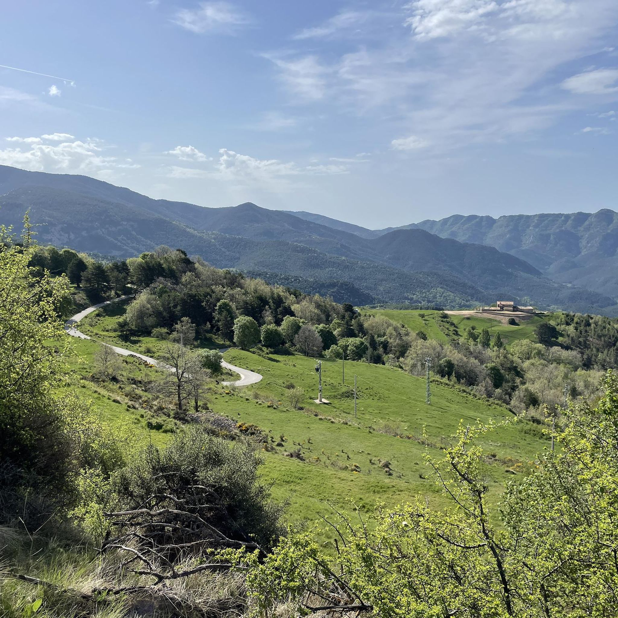
Gravel biking around Guixers offers diverse mountainous terrain within Catalonia's Solsonès region, characterized by the Catalan Pre-Pyrenees and peaks exceeding 2,000 meters. The landscape features significant elevation changes, ranging from forest tracks to challenging ascents, particularly along the Serra de Querol and Serra de Busa. The Lord Valley, with the Cardener and Aigua de Valls rivers converging into the Llosa del Cavall reservoir, provides routes alongside water bodies and varied scenery. This natural mountain environment is ideal for gravel cyclists…
Last updated: July 3, 2026
35
riders
65.9km
05:33
1,790m
1,790m
Hard gravel ride. Very good fitness required. You may need to push your bike for some segments of this route.
11
riders
Hard gravel ride. Very good fitness required. Mostly paved surfaces. Suitable for all skill levels.

Sign up for free
4.0
(1)
19
riders
48.9km
03:40
1,220m
1,220m
Hard gravel ride. Very good fitness required. You may need to push your bike for some segments of this route.
3
riders
26.6km
02:29
910m
910m
Hard gravel ride. Very good fitness required. Mostly paved surfaces. Suitable for all skill levels.
6
riders
101km
07:55
3,080m
3,080m
Hard gravel ride. Very good fitness required. Mostly paved surfaces. Suitable for all skill levels.
Our route recommendations are based on thousands of hikes, rides, and runs completed by other people on komoot.
Start today with a free account
Your next adventure awaits.
Login or Signup
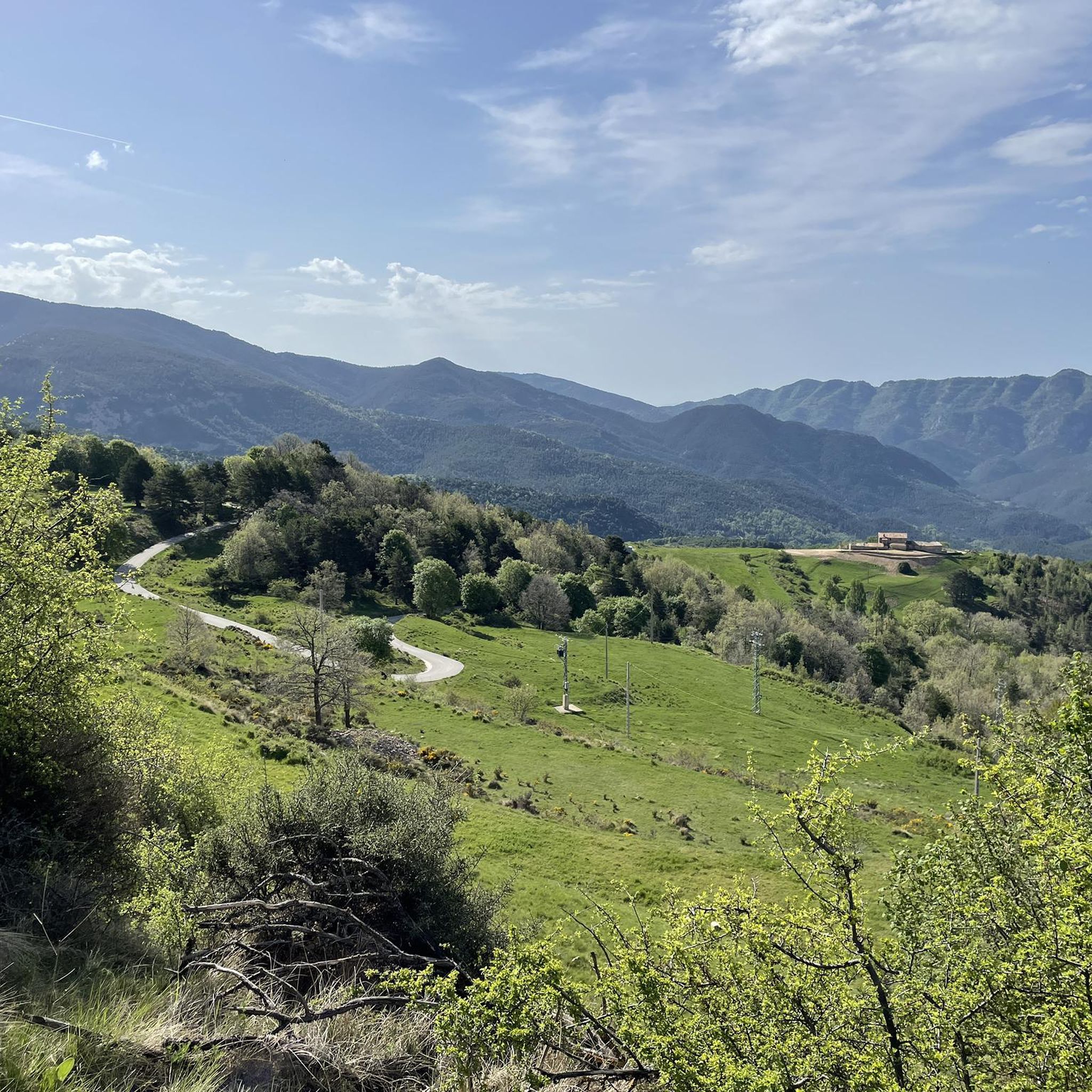
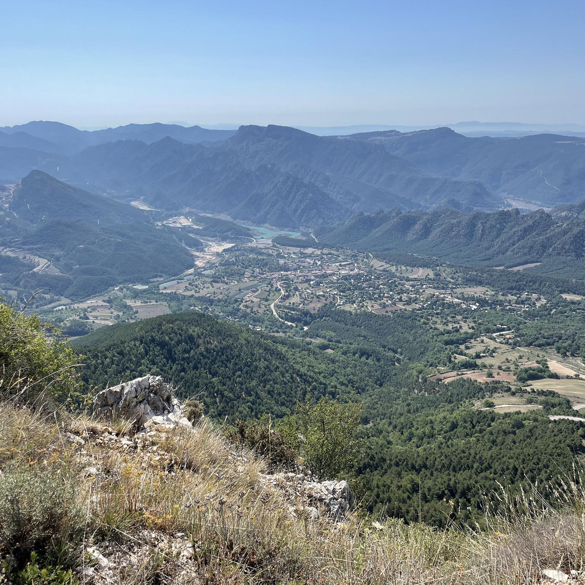
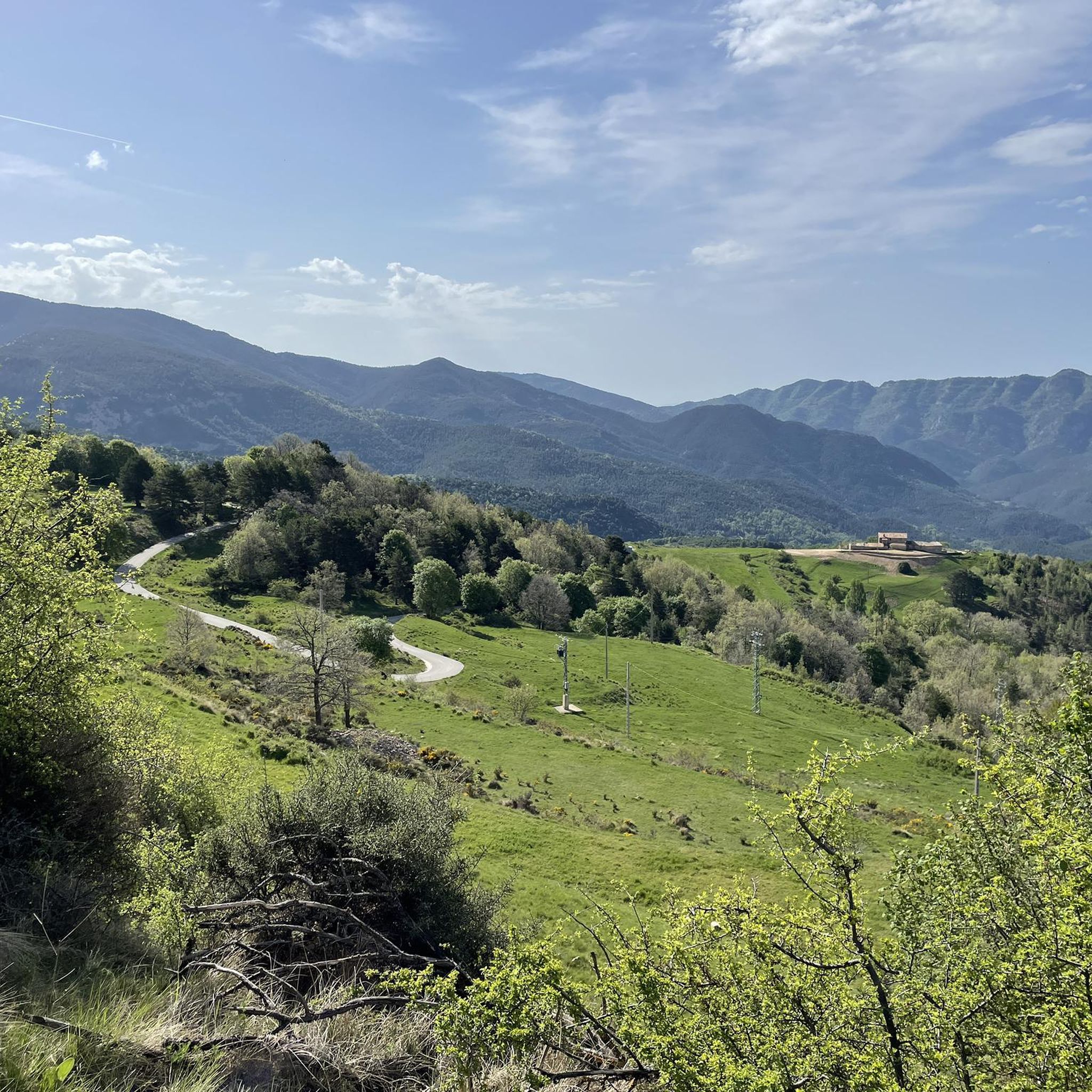
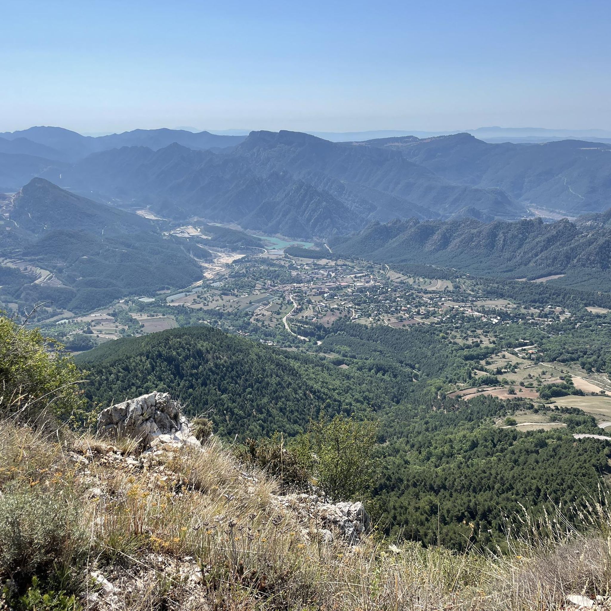

Tips from the Community

The Coll de Pradell is one of the most demanding and spectacular ascents in Berguedà. The road winds through forests, meadows, and old mining landscapes, witnesses to the intense coal mining activity that marked the history of this region for over a century. Today, silence has replaced the noise of the mines, but the landscape still bears the mark of that industrial past while rewarding the effort with magnificent views over the Pre-Pyrenean mountains.
0
0

High mountain crossing point with spectacular views over the Cadí and the Pedraforca massif. The pass marks the boundary between black pine forests and alpine meadows, and is an ideal place to catch your breath before tackling the final climb to the summit. On a mountain bike, the climb is tough and with rocky sections that may require pushing the bike at some points. Tip: slow down and save your energy for the last section; the reward is a panoramic view that will make you forget your tiredness.
0
0
Sant Llorenç de Morunys is a town in the Solsonès region located at 925 metres above sea level, surrounded by the Port del Comte, Busa and Verd mountain ranges. It has a well-preserved medieval centre, with walls, cobbled streets and the 11th-century Romanesque church of Sant Llorenç, as the centre of the complex. It is a key point of passage and stop for mountain routes, cycle tours and crossings through the Pre-Pyrenees. The entrance and exit of the town can be done via roads with demanding slopes or forest tracks depending on the itinerary, but it is always worth stopping there to recover energy, fill up water bottles or take a quality break. A good place to charge batteries, both physical and e-bike.
1
0
Prat de Bacies is a grassy plateau located in the Port del Comte massif, between the municipalities of Odèn and La Coma i la Pedra, in Solsonès. With altitudes exceeding 2,000 meters, it is an open space, surrounded by black pine forests and reliefs of glacial origin such as sinkholes and depressions. The landscape is open, silent and with a feeling of spaciousness that is unusual in the Pre-Pyrenees. Access is via forest tracks that may have stony or eroded sections, especially during the rainy season. It is a good point to stop, observe and rest in an authentic mountain environment, away from crowded routes. If you do it with an e-bike, it is advisable to bring a full battery, as there are no services or assistance points in the area.
0
0

Stopping at the Hotel Fonts del Cardener for a coffee, a snack, or a chat is always a pleasure. The surroundings of the Vall de Lord are well worth the time.
0
0

Fresh water source in the town of Vallcebre, gateway to Cadí and start or passage of the peaks of Fumanya, Pradell or Peguera. Important for resupplying and filling water bottles. There are two bar-restaurants next to it.
0
0
New sculpture and tribute to the bike that has been promoted by the Regional Council, to give visibility to the importance of cycling in Berguedà. Now we have a new milestone to frame the challenge of crowning the Coll de Pradell, brutal!!
0
0

A very beautiful pass, as these mountains encompass the best of the mid- and high mountains. The landscape is magnificent, with beautiful views of Pedraforca Mountain. It is undoubtedly one of the most beautiful climbs in Alt Berguedà. Pedraforca is one of the most iconic mountains in Catalonia. This mountain has a very distinctive shape, with two peaks (the upper peak at 2,497 meters and Calderer at 2,491 meters). The nearest towns are Gósol and Saldes. Pedraforca is located in the Cadí mountain range.
0
0
Frequently Asked Questions
What kind of terrain can I expect on gravel bike trails in Guixers?
Gravel biking in Guixers offers a diverse and challenging mountainous terrain. You'll encounter significant elevation changes, ranging from forest tracks to demanding ascents, particularly along the Serra de Querol and Serra de Busa. The region is part of the Catalan Pre-Pyrenees, with peaks exceeding 2,000 meters, providing a rugged and scenic backdrop for your rides.
Are there any easy gravel bike trails in Guixers suitable for beginners?
The gravel bike routes around Guixers are generally quite challenging. All the routes listed in this guide are rated as 'difficult,' featuring significant elevation gains and technical sections. While the area is stunning, it's best suited for experienced gravel bikers looking for a physical challenge rather than beginners.
What natural features or historical sites can I see while gravel biking in Guixers?
Guixers is rich in natural beauty and historical heritage. You can explore the Lord Valley, ride alongside the Cardener and Aigua de Valls rivers, and enjoy views of the Llosa del Cavall reservoir. Historical sites include numerous Romanesque hermitages and chapels, such as Sant Martí de La Corriu and the sanctuary of Puig Aguilar. For specific points of interest, consider visiting the Queralt Sanctuary or the Bald Hen Peak.
Are there gravel routes that pass by water bodies or reservoirs?
Yes, the Lord Valley is a central feature of Guixers, where the Cardener and Aigua de Valls rivers converge into the Llosa del Cavall reservoir. Many routes offer picturesque views alongside these water bodies, providing a different landscape compared to the higher mountain passes. The natural springs of the Cardener River are also a highlight for leisurely sections.
Where can I find routes with panoramic views in Guixers?
For breathtaking panoramic views, consider routes that pass through higher elevations. The Bagà – Ascent to Coll de Bena loop from Vallcebre offers expansive mountain vistas. Additionally, the Mirador del Codó, easily accessible from Coll de Jou, provides magnificent views of the Lord Valley and the Llosa del Cavall reservoir, making it a rewarding stop on a ride.
Are there circular gravel bike routes available in Guixers?
Yes, many of the gravel bike routes in Guixers are designed as loops, allowing you to start and end at the same point. For example, the Les Bassotes Pass – Coll de Josa (1620 m) loop from Gósol and the Coll de Jou Churro Shop – Fountain at Coll de Jou loop from Coll de Jou are both excellent circular options.
What is the typical length and duration of gravel bike routes in Guixers?
The gravel bike routes in Guixers vary in length and duration, but generally cater to longer, more demanding rides. For instance, the Les Bassotes Pass – Coll de Josa (1620 m) loop from Gósol is about 40.9 miles (65.9 km) and takes nearly 7 hours, while the Coll de la Trapa – Coll de Pradell loop from Vallcebre is around 16.5 miles (26.6 km) and takes over 2.5 hours.
When is the best time of year to go gravel biking in Guixers?
Given Guixers' mountainous terrain in the Catalan Pre-Pyrenees, the best time for gravel biking is typically from late spring to early autumn (May to October). During these months, the weather is generally more stable, and the higher passes are free of snow. Winter can bring snow and colder temperatures, making many routes inaccessible or significantly more challenging.
Are the gravel bike trails in Guixers suitable for families or those with dogs?
Due to the challenging nature of the terrain and the 'difficult' rating of all routes in this guide, most gravel bike trails in Guixers are not ideal for young families or casual rides with dogs. The significant elevation changes and long durations require a good level of fitness and experience. Always check individual route details for suitability before heading out.
What do other cyclists say about gravel biking in Guixers?
The gravel biking experience in Guixers is highly regarded by the komoot community, with an average score of 5.0 stars. Cyclists often praise the diverse mountainous terrain, the stunning landscapes of the Lord Valley, and the challenging ascents that provide a rewarding adventure. Over 97 gravel bikers have used komoot to explore this varied region.
Do I need any special permits for gravel biking in the Guixers area?
Generally, no specific permits are required for gravel biking on established trails in the Guixers area. However, as the region borders natural parks and protected areas like the Serra del Cadí, it's always advisable to respect local regulations, stay on marked paths, and be mindful of environmental conservation. There are no specific permits mentioned for general cycling in the Sierra de Busa or other local areas.
Is parking available near the gravel bike trailheads in Guixers?
While specific parking areas for every trailhead are not detailed, Guixers is a rural municipality, and parking is generally available in or near the small villages and starting points of routes. Look for public parking in areas like Coll de Jou or near the Llosa del Cavall reservoir, which are common starting points for many tours.
Can I reach the gravel biking areas in Guixers using public transport?
Reaching Guixers and its gravel biking areas primarily relies on private transport due to its rural and mountainous location. Public transport options are very limited, and direct connections to specific trailheads are unlikely. Planning to drive to a starting point is recommended for convenience and flexibility.
Most popular routes around Guixers
Most popular attractions around Guixers

Get inspired with the komoot mobile app


Explore more
Browse the best Gravel rides in other regions.
