The best mountain hikes around Guixers
5.0
(5)
134
hikers
8
hikes
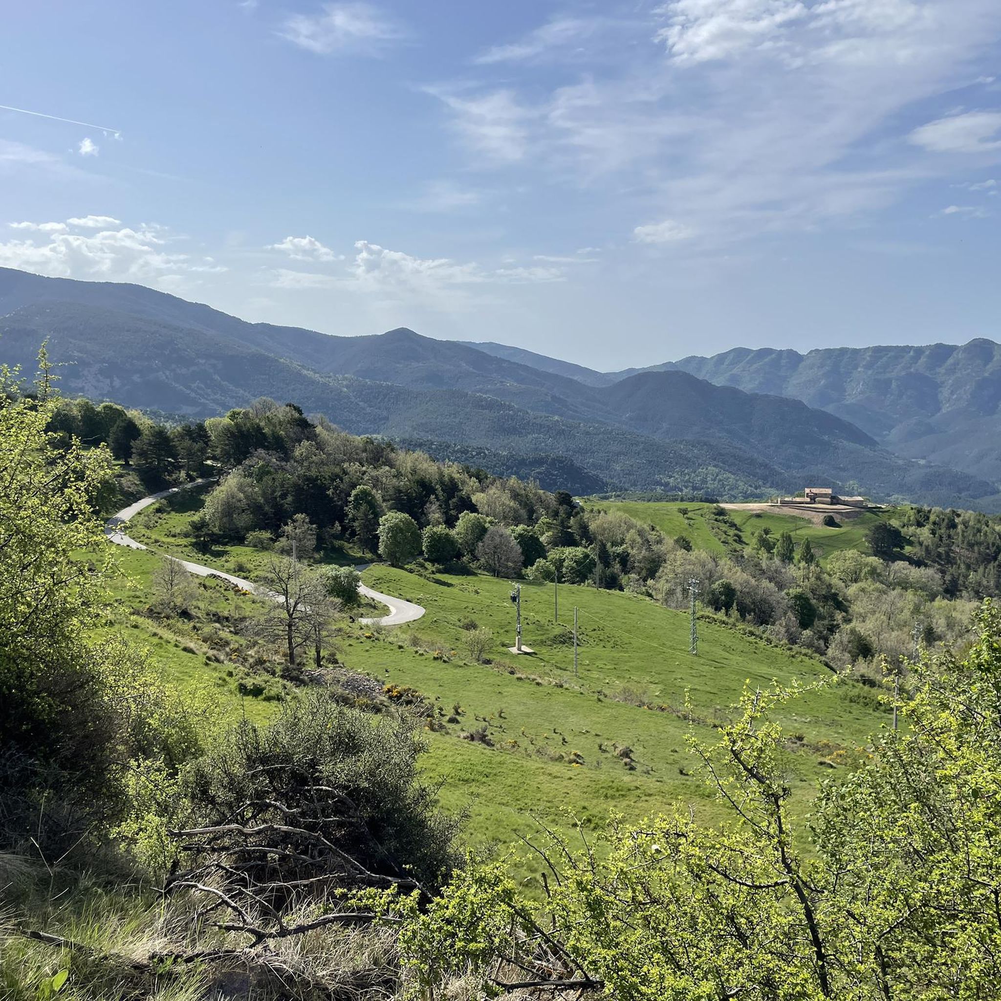
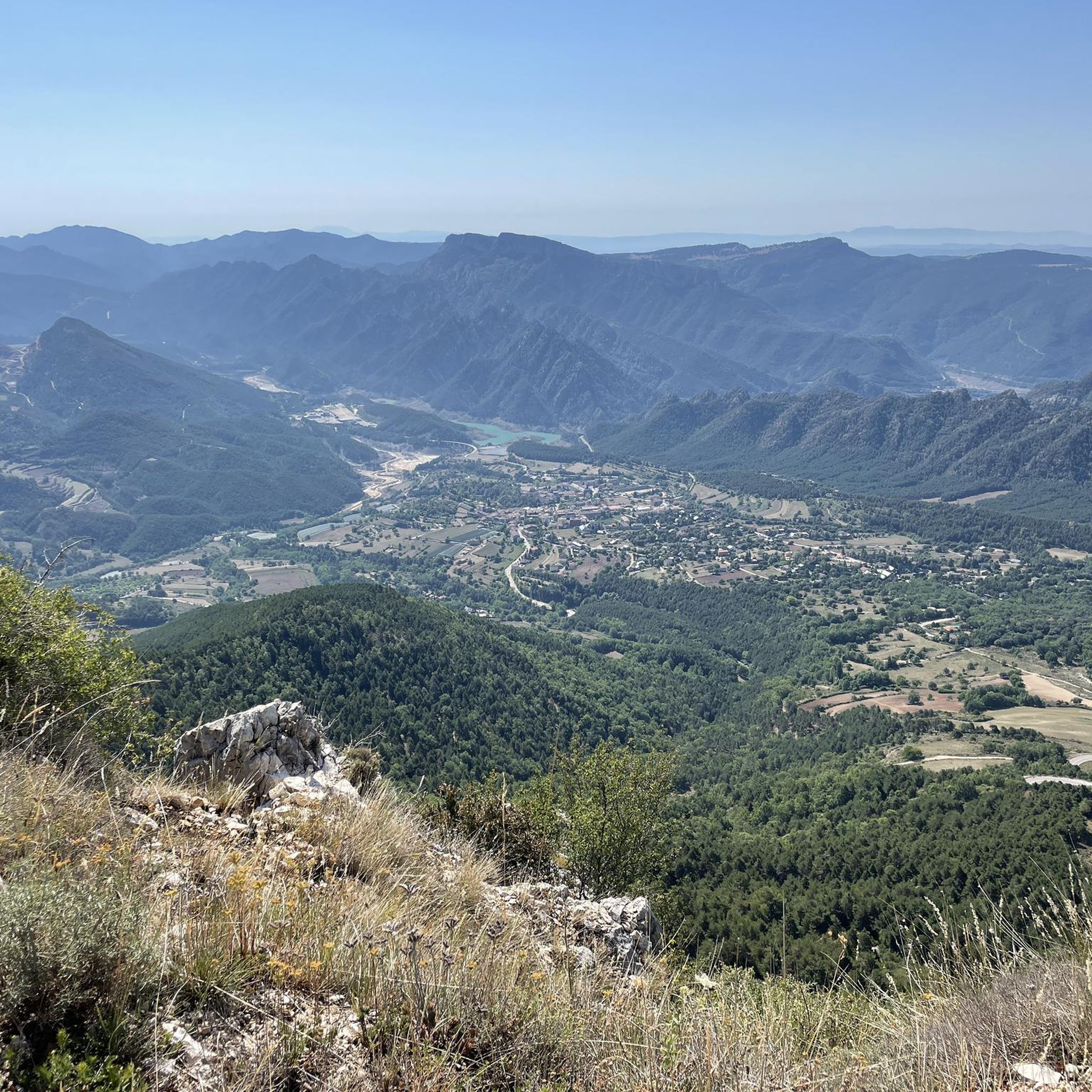
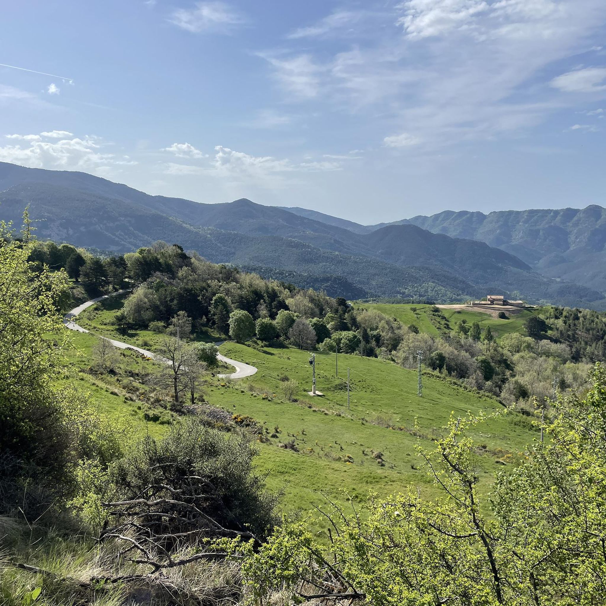
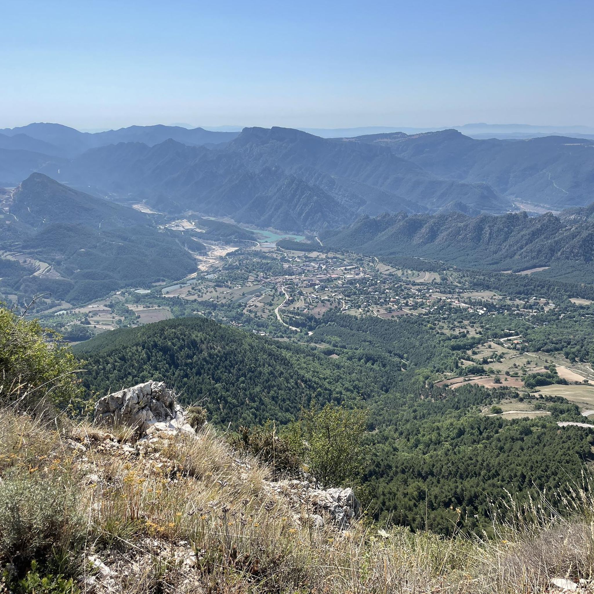
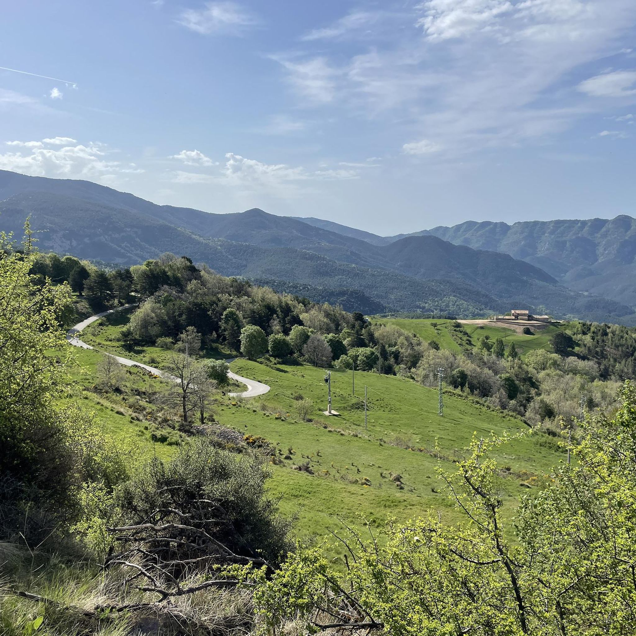
Mountaineering routes around Guixers are situated in Catalonia's Pre-Pyrenees, offering a diverse landscape for outdoor activities. The region features dramatic mountain ranges, including the Serres de Busa, Bastets, and Guixers, extending to the Serra del Port del Comte. Characterized by spectacular vertical cliffs and deep ravines, particularly in the Serres dels Bastets and Busa, the area also encompasses the Llosa del Cavall reservoir. Elevations range from 820 meters near the Aigua de Valls river to 2,220 meters at Les Morreres.
…Last updated: July 1, 2026
66
hikers
Hard mountaineering route. Very good fitness required. Sure-footedness, sturdy shoes and alpine experience required.
5.0
(2)
13
hikers
16.9km
05:35
560m
560m
Hard mountaineering route. Very good fitness required. Mostly accessible paths. Sure-footedness required.

Sign up for free
14
hikers
10.2km
05:12
700m
700m
Hard mountaineering route. Very good fitness required. Sure-footedness, sturdy shoes and alpine experience required.
7
hikers
8.83km
04:18
630m
630m
Hard mountaineering route. Good fitness required. Sure-footedness, sturdy shoes and alpine experience required.
7
hikers
9.15km
05:58
950m
950m
Hard mountaineering route. Very good fitness required. Sure-footedness, sturdy shoes and alpine experience required.
Get access to more routes and recommendations from other explorers.
Sign up for free
Already have an account?
Our route recommendations are based on thousands of hikes, rides, and runs completed by other people on komoot.
Start today with a free account
Your next adventure awaits.
Login or Signup

Tips from the Community

Located at the foot of the majestic Pedraforca, it is one of the most emblematic refuges in the Pyrenees. Starting point for classic ascents to the summit and ideal place to enjoy the high mountain atmosphere. The building, surrounded by meadows and forests, offers imposing views and an impressive calm. By mountain bike, the final access from Saldes is demanding, with a steep slope and loose stone; it is best to tackle it with patience and good traction. Tip: if you get there in the afternoon, stay for a few minutes — the light over Pedraforca is pure magic.
0
0

very good summit, it is important to book in advance if you want to sleep in the refuge. Easy climb and beautiful place!
0
0

A beautiful refuge at the foot of the north face of Pedradorca, it's worth the climb to discover it.
1
0

For me it is one of the nicest refuges in the area, small and cozy.
0
0
360 Panoramic Views and Pedraforca
0
0

If you are passing through, do not hesitate to visit the 11th century castle and its famous Picasso Center, where you can see some of the works he created during the time he lived in this town.
0
0

The views are beautiful but I recommend doing this route during the week so as not to arrive and meet a lot of people above. On weekends there can be a lot of traffic.
0
0

Also a good starting point (and car park) for a hike to the Vall d'Els Cortils or to the Costa dels Cabirols.
0
0
Frequently Asked Questions
How many mountaineering routes are available around Guixers?
There are over 10 mountaineering routes documented around Guixers, offering a range of challenging experiences in the Pre-Pyrenees. The region is particularly known for its dramatic mountain ranges and rugged terrain.
Are there any family-friendly mountaineering routes in Guixers?
Guixers is characterized by its challenging mountaineering terrain, with most routes rated as difficult. While there is one moderate route available, families looking for easier walks might consider exploring the extensive hiking trails around the Pantà de la Llosa del Cavall, which offer less strenuous options amidst beautiful scenery.
What is the best time of year for mountaineering in Guixers?
The Pre-Pyrenees region around Guixers offers rewarding mountaineering experiences throughout much of the year. Spring and autumn generally provide pleasant temperatures and stable weather. Summer can be warm but is suitable for higher elevations. Winter mountaineering is possible but requires appropriate gear and experience due to potential snow and ice conditions, especially at higher points like Les Morreres (2,220 meters).
Are there any circular mountaineering routes in the Guixers area?
Yes, several routes in the Guixers area are designed as loops, allowing you to start and end at the same point. For example, the Pollegó Superior Summit loop from Paratge Natural d'Interès Nacional del Massís del Pedraforca is a difficult 8 km trail offering expansive views. Another option is the El Calderer – Coll de la Cabana loop from Paratge Natural d'Interès Nacional del Massís del Pedraforca, which traverses rugged terrain within the Pedraforca massif.
What kind of landmarks or points of interest can I expect to see on mountaineering routes near Guixers?
Mountaineering routes around Guixers often lead to spectacular natural features and historical sites. You might encounter impressive rock formations, deep ravines, and panoramic viewpoints. Notable highlights in the broader area include the Lluís Estasen Refuge, a key stop for many mountaineers, and the Bald Hen Peak, offering stunning vistas. The historic Busa Prison (Capolatell), a natural prison, is also accessible via hiking routes in the Serra de Busa.
How long do mountaineering routes around Guixers typically take to complete?
The duration of mountaineering routes in Guixers varies significantly based on distance, elevation gain, and difficulty. For instance, the Pla de la Tossa – Pollegó Superior Summit loop from Gósol, a difficult 8.7 km route with over 1000 meters of elevation gain, typically takes around 5 hours and 12 minutes. Longer routes, such as the El Collell Pass – Lluís Estasen Refuge loop from Gósol (16.8 km), can take approximately 5 hours and 33 minutes.
Are there any particularly challenging mountaineering trails for experienced climbers?
Absolutely. Guixers is renowned for its challenging terrain, especially in the Serres dels Bastets and Busa, which feature spectacular vertical cliffs. The Serra de Busa is a focal point for climbing, including technical paths like the Grau de l'Escala, which involves iron and wooden steps. The highest point in the Serra de Busa, El Cogul (1,526 meters), offers a rewarding objective with views of Pedraforca and Port del Comte. The Mountaineering loop from Saldes is another difficult option for those seeking a strenuous ascent.
What do other mountaineers enjoy most about the routes in Guixers?
The mountaineering routes in Guixers are highly rated by the komoot community, with an average score of 5.0 stars from 5 reviews. Mountaineers often praise the dramatic and varied mountain landscapes, the challenging ascents, and the sense of adventure offered by the vertical cliffs and deep ravines. The extensive views from summits like El Cogul are also frequently highlighted as a major draw.
Are there options for parking at the trailheads for mountaineering routes?
While specific parking details for each trailhead are best checked on individual route pages, the region around Guixers generally offers parking facilities near popular starting points for outdoor activities. Given the rural nature of the area, many trailheads for mountaineering routes will have designated or informal parking areas. It's always advisable to arrive early, especially during peak seasons, to secure a spot.
Can I find cafes or restaurants near the mountaineering routes in Guixers?
Guixers is nestled in a rural part of Catalonia, so while you might not find cafes directly at every trailhead, there are charming rural villages and small towns in the broader Vall de Lord area where you can find local eateries. It's recommended to plan your refreshment stops in advance, perhaps in Guixers itself or nearby communities, especially after completing a longer mountaineering route.
Are there any wild swimming spots near the mountaineering trails in Guixers?
Yes, the **Llosa del Cavall reservoir** is a prominent feature of the Guixers region, known for its turquoise, calm waters. While primarily a hub for water sports like kayaking and paddleboarding, its pure waters and hidden coves make it an ideal spot for swimming and enjoying a unique natural setting after a challenging mountaineering excursion. Always check local regulations and safety guidelines before swimming in natural bodies of water.
What kind of terrain should I expect on mountaineering routes in Guixers?
Mountaineering routes in Guixers traverse a highly varied and rugged terrain. You can expect dramatic mountain ranges, including the Serres de Busa, Bastets, and Guixers, with elevations ranging significantly. The area is particularly known for its spectacular vertical cliffs and deep ravines, especially in the Serres dels Bastets and Busa. Some paths may involve technical sections, requiring the use of hands and feet, similar to a via ferrata experience.
Most popular routes around Guixers
Most popular attractions around Guixers

Get inspired with the komoot mobile app


Explore more
Browse the best Mountain Hikes & Routes in other regions.
