The best gravel rides around Santa Cruz De La Zarza
4.8
(7)
40
riders
17
rides
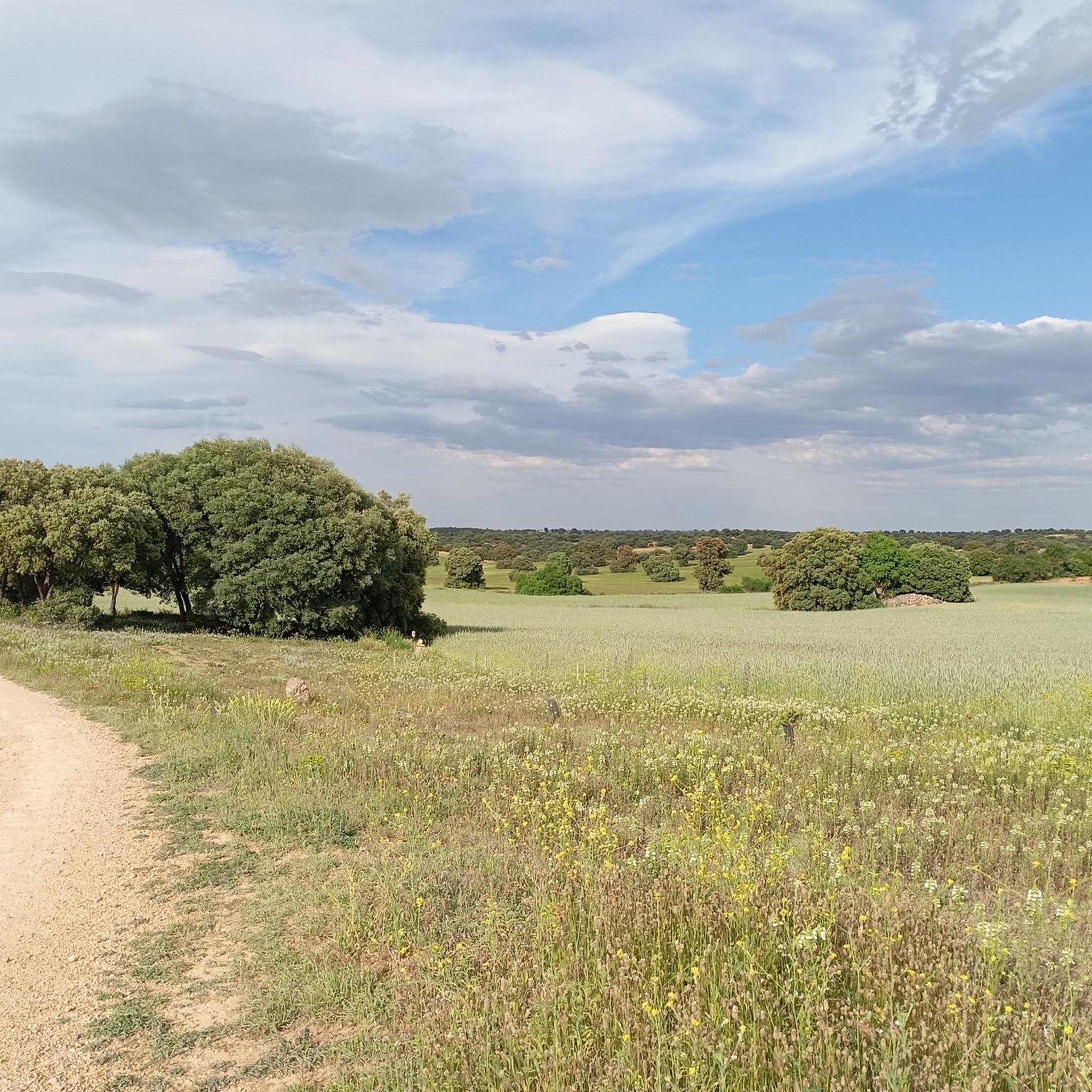
Gravel biking around Santa Cruz De La Zarza offers routes through agricultural landscapes and open plains. The region is characterized by gentle undulations and expansive views, with elevations generally remaining below 200 meters. Trails often follow rural tracks and unpaved roads, connecting small towns and agricultural areas. The terrain is suitable for gravel bikes, providing a mix of surfaces without significant technical challenges.
Best gravel bike trails around Santa Cruz De La Zarza
- The most popular gravel bike trail is…
Last updated: November 2, 2026
4
riders
45.0km
03:35
180m
180m
Moderate gravel ride. Good fitness required. Mostly paved surfaces.
4.0
(1)
6
riders
35.0km
02:46
130m
130m
Moderate gravel ride. Good fitness required. Mostly paved surfaces.

5.0
(1)
1
riders
20.8km
01:44
120m
120m
Easy gravel ride. Mostly paved surfaces.
1
riders
34.1km
02:37
170m
170m
Moderate gravel ride. Good fitness required. Mostly paved surfaces.
1
riders
52.3km
04:34
560m
560m
Hard gravel ride. Very good fitness required. Mostly paved surfaces.
Get access to more routes and recommendations from other explorers.
Already have an account?
Our route recommendations are based on thousands of hikes, rides, and runs completed by other people on komoot.
Start today with a free account
Your next adventure awaits.
Tips from the Community

A good place to have a coffee with some good porras…
0
0

Very compact cycle track
0
0

Villatobas is a municipality with a rich history that dates back to ancient times. Archaeological studies indicate that the area was inhabited from the 4th or 3rd century BC by various peoples. The first written record of Villatobas appears in the charter of Montealegre in 1219, where it is mentioned as "Villa de Tobas" Villatobas was also the scene of important events during the War of Independence in the 19th century. Over the centuries, it has managed to preserve its historical heritage, including its parish church dedicated to San Juan Bautista and the ruins of its 13th-century castle.
5
0

The white and blue signs of the Camino de Uclés are paired with the yellow arrows of the Camino de Santiago de Uclés, one of the variants of the Jacobean routes that leaves for Santiago de Compostela from the Monastery of Uclés, one of the heads (Caput Ordinis) of the Order of Santiago from the 13th century.
0
0

The hermitage of San Jorge dates back to the first half of the 16th century. In the 1970s, the hermitage was practically in ruins, so it was rebuilt thanks to the neighbours of the Arrabal area. This devotion to San Jorge is possibly due to the ancient tradition that said that this saint protected the population from epidemics, diseases and plagues, so common and deadly in the Middle Ages. In addition to the hermitage of San Jorge, Villatobas has other hermitages such as those of Jesús Nazareno, Santa Ana, Santa Catalina, San Cristóbal, San José, and the parish of Nuestra Señora de la Asunción, all of them from the 16th and 17th centuries.
1
0

Statue carved in stone placed in this strategic place near Santa Cruz de la Zarza
0
0

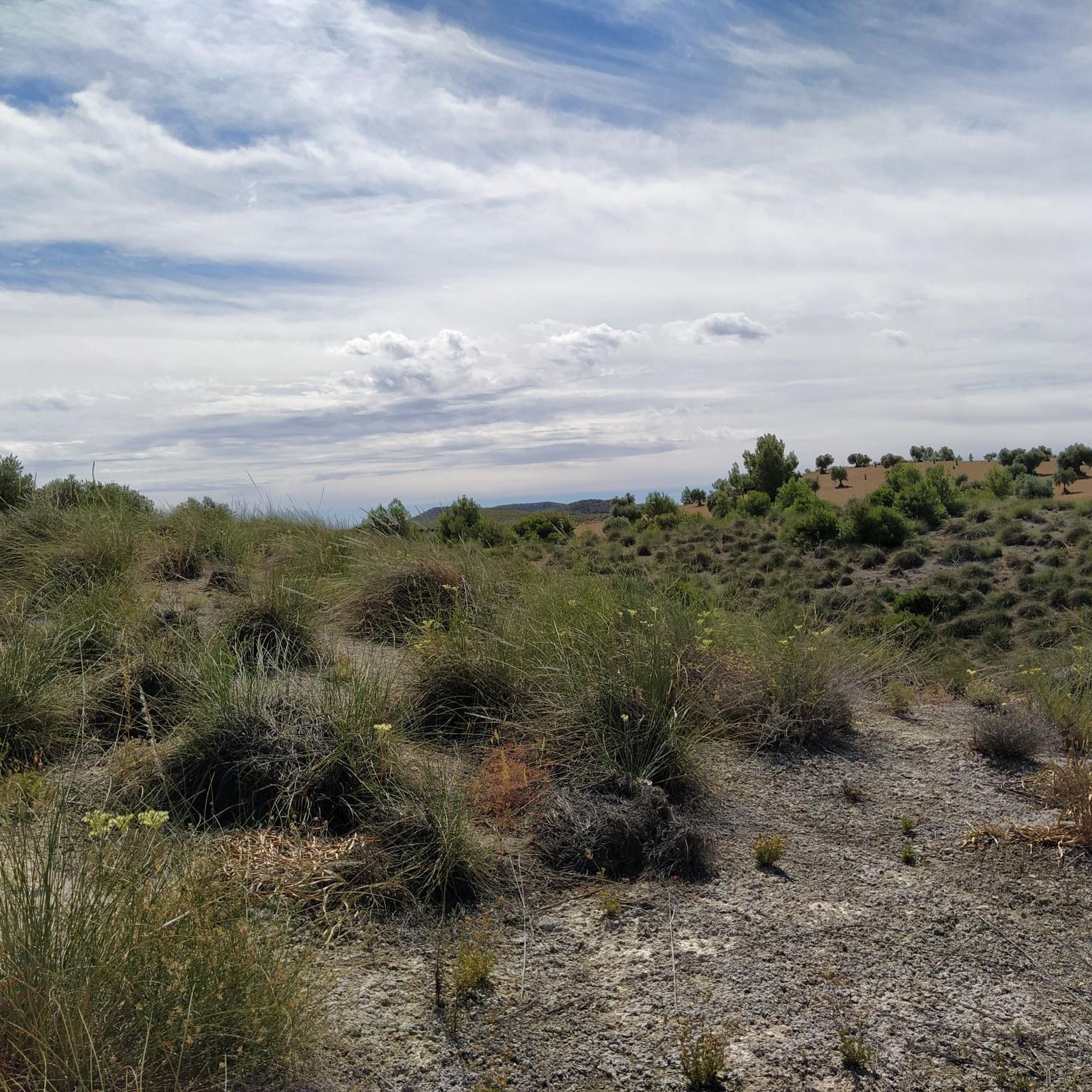
In the agricultural wastelands of Valdaracete, a striking journey towards the Tagus River begins through a curious landscape of clay hills and whitish marls in a desert and steppe environment, especially in the hard slides of Cerro de la Muela, a desert in Las Vegas, where the gypsum gullies that can become hell for pedaling on rainy days. The sensation of navigating a bicycle through distant and exotic latitudes ends when the road leaves the valley of the Valle stream, passes through the A-3 tunnel and ends in Fuentidueña de Tajo.
1
0
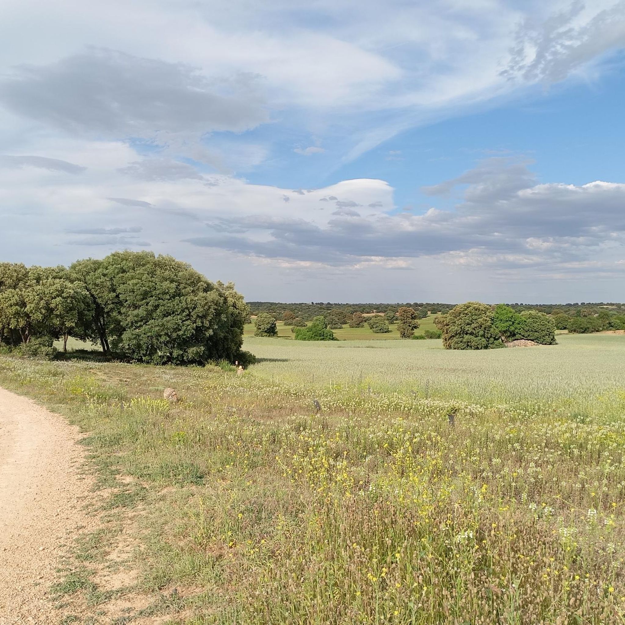
The Cañada Real Soriana Oriental runs through the north of the municipality of Brea de Tajo through a landscape of crops and pastures of oaks with abundant stands of kermes oaks and gall oaks, making up a territory of great environmental quality of ocher and red hills populated by some centenary specimens. The route of the livestock route is integrated into several local hiking routes, it has rest areas, a point of interest with interpretive panels and several cabins from the glorious era of the Concejo de la Mesta, used for centuries by shepherds on long migratory journeys. . On the side of the road appears the Cabaña del Quiñonero, which has been rehabilitated and shows the main elements of pastoral constructions, with one floor covered by a conical vault and another rectangular room that was used to store livestock. The path crosses the Orusco de Tajuña highway and enters a terrain of slides populated by dense forests of oaks and gall oaks of monumental size on Mount El Robledal. In one of the valleys appears the Pozo de la Yesera, an old traditional well used by herds as a resting place. And shortly after, at the end of the next slope, are the old Corrales del Calero, like sentinels at the top of a solitary hill adorned with an ancient almond tree. By bicycle the path passes quickly, crosses the Cordel de las Merinas and immediately crosses the Carabaña road and the 40 Days Train, in this section converted into a Greenway. At the intersection there is a small rest area and an information panel. The 40 Day Train was a military railway line built in record time during the Civil War between Tarancón and Torrejón de Ardoz to supply the Republican troops fighting in the trenches of the capital. In reality, it took one hundred days to launch the line and it was known as Vía Negrín after the head of the government who ordered the construction in 1937.
0
0
Frequently Asked Questions
How many gravel bike trails are available around Santa Cruz De La Zarza?
There are over 9 dedicated gravel bike routes available around Santa Cruz De La Zarza on komoot. These trails primarily cater to moderate ability levels, offering a good mix of surfaces without significant technical challenges.
Are there any easy or beginner-friendly gravel bike routes in the area?
While most routes are classified as moderate, the region's gravel biking is generally characterized by gentle gradients and rural tracks, making many trails accessible for beginners looking for a moderate challenge. The terrain is suitable for gravel bikes, providing a mix of surfaces without significant technical difficulties. For example, the Tarancón – Churrería-Cafetería La Fuente loop from Estación de Tarancón is a popular moderate route that offers a good introduction to the area's riding.
What is the typical length and duration of gravel bike trails near Santa Cruz De La Zarza?
The gravel bike trails in this region vary in length, with many routes falling into the 20-35 mile (30-55 km) range. For instance, the Tarancón Fountain – Tarancón loop from Estación de Tarancón is 28.1 miles (45.2 km) and typically takes around 3 hours to complete. Longer options, like the Tarancón – Fuente de Pedro Naharro loop from Estación de Tarancón, stretch to 34.5 miles (55.5 km) and can take about 4 hours.
Are there any advanced or more challenging gravel bike routes?
Yes, for those seeking a greater challenge, the Uclés Trail – Fuentidueña de Tajo loop from Ctra. M241 - Urb Peña Rubia is classified as difficult. This route covers 32.5 miles (52.3 km) and features more significant elevation gain, making it suitable for experienced gravel bikers.
What kind of scenery can I expect on these gravel bike routes?
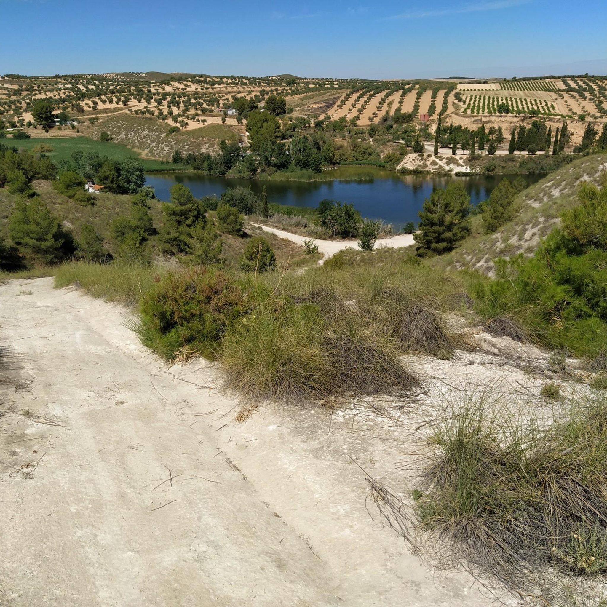
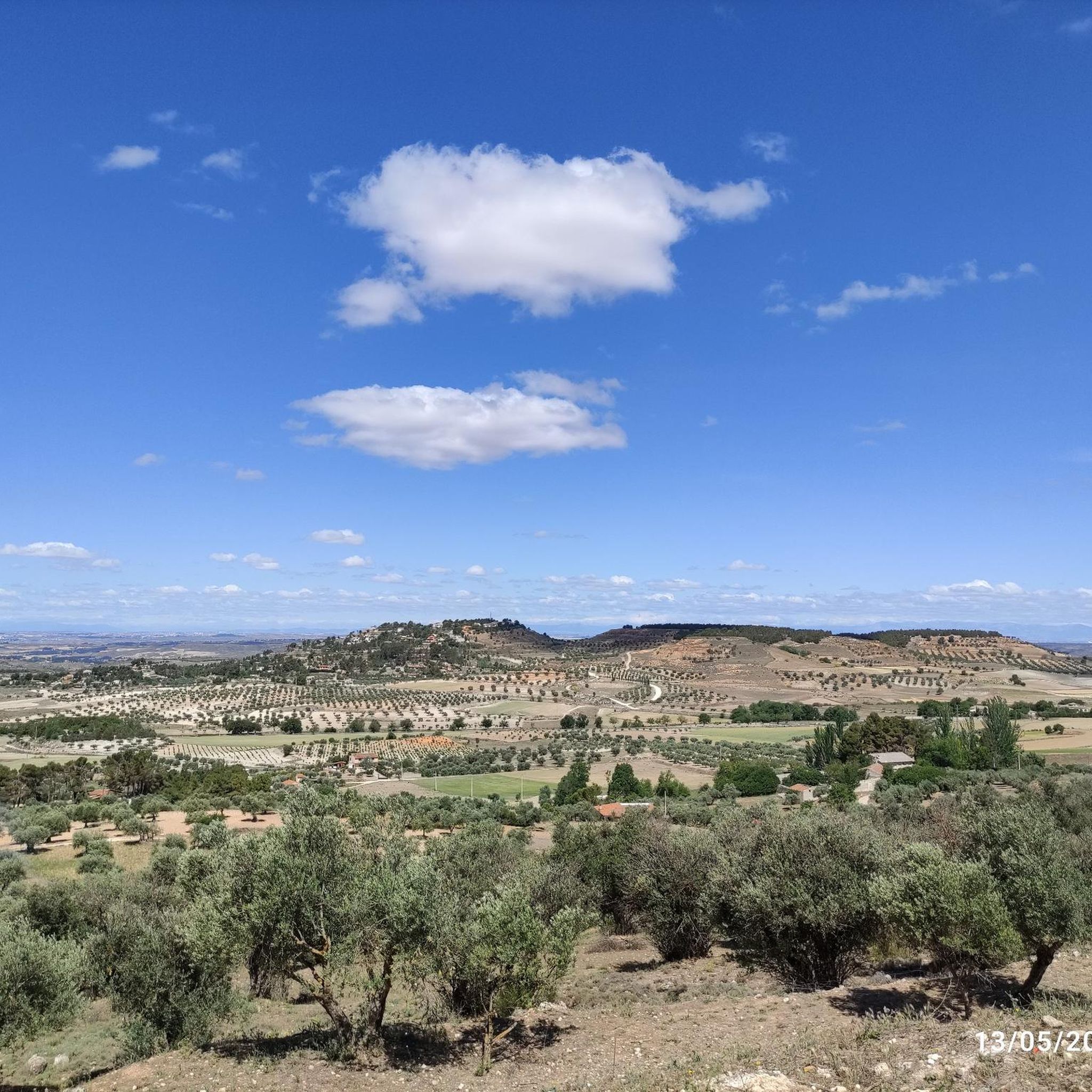
The routes around Santa Cruz De La Zarza traverse agricultural landscapes and open plains, offering expansive views of the countryside. You'll often find yourself on rural tracks and unpaved roads connecting small towns and farming areas, providing a peaceful and immersive experience in the heart of the region.
Are there any circular gravel bike routes available?
Yes, all the featured gravel bike routes in this guide are circular loops, designed to bring you back to your starting point. This includes popular options like the Gravel loop from Estación de Tarancón, which is a moderate 21.7 miles (35 km) ride.
What are some interesting landmarks or attractions to see along the gravel bike trails?
While riding, you might encounter various points of interest. Notable attractions in the wider area include the historic Iron Bridge of Fuentidueña de Tajo and the impressive Villamanrique de Tajo Viaduct. You could also pass through charming settlements like Villatobas or spot the Hermitage of the Most Holy Christ of Humilladero.
Are there any routes that pass by cafes or places to stop for refreshments?
Yes, some routes are designed to pass through or near towns where you can find refreshments. For example, the Tarancón – Churrería-Cafetería La Fuente loop from Estación de Tarancón explicitly mentions a churrería-cafetería, offering a convenient stop during your ride.
What is the best season for gravel biking in Santa Cruz De La Zarza?
The region generally experiences hot, dry summers and mild winters. Spring (April-May) and autumn (September-October) are often ideal for gravel biking, offering pleasant temperatures and comfortable riding conditions. During these seasons, the agricultural landscapes are particularly vibrant or display beautiful autumnal colors.
What do other gravel bikers enjoy most about riding in Santa Cruz De La Zarza?
The komoot community frequently praises the quiet, open plains and the sense of tranquility found on the rural tracks. Riders appreciate the well-maintained unpaved roads and the opportunity to explore the agricultural heartland, often highlighting the expansive views and the gentle, rolling terrain that makes for enjoyable gravel riding.
Most popular routes around Santa Cruz De La Zarza
Most popular attractions around Santa Cruz De La Zarza

Get inspired with the komoot mobile app


Explore more
Browse the best Gravel rides in other regions.
