The best gravel rides around Venturada
4.9
(5)
156
riders
19
rides
Gravel biking around Venturada offers diverse terrain within the Sierra Norte de Madrid, characterized by mountainous landscapes, extensive forests, and low-traffic rural roads. The region features a mix of well-maintained forest tracks and rural paths, providing varied surfaces for gravel cyclists. Riders can expect a blend of natural beauty, including mountains and valleys, with sections that range from flowing gravel to more demanding terrain. The area is known for its "quite gravelly" paths, making it suitable for a range of…
Last updated: May 11, 2026
5.0
(1)
50
riders
81.0km
06:59
1,350m
1,350m
Hard gravel ride. Very good fitness required. Mostly paved surfaces. Suitable for all skill levels.
4.5
(2)
17
riders
64.5km
05:10
940m
940m
Hard gravel ride. Very good fitness required. Mostly paved surfaces. Suitable for all skill levels.

Sign up for free
29
riders
53.7km
04:00
810m
810m
Hard gravel ride. Very good fitness required. Mostly paved surfaces. Suitable for all skill levels.
4
riders
23.0km
02:17
470m
470m
Hard gravel ride. Very good fitness required. Mostly paved surfaces. Suitable for all skill levels.
5.0
(1)
12
riders
25.6km
01:55
420m
420m
Moderate gravel ride. Good fitness required. Mostly paved surfaces. Suitable for all skill levels.
Get access to more routes and recommendations from other explorers.
Sign up for free
Already have an account?
Our route recommendations are based on thousands of hikes, rides, and runs completed by other people on komoot.
Start today with a free account
Your next adventure awaits.
Login or Signup
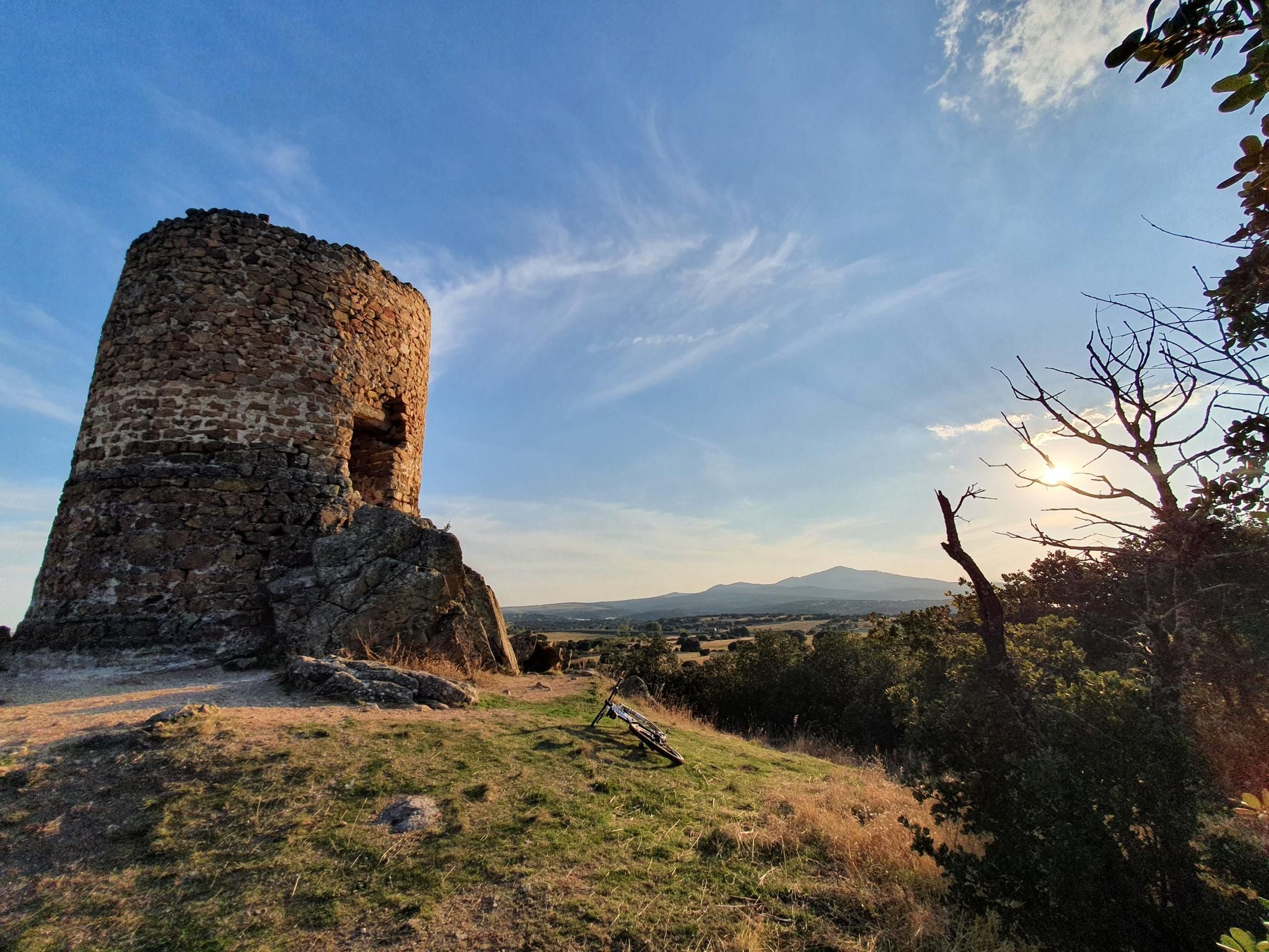
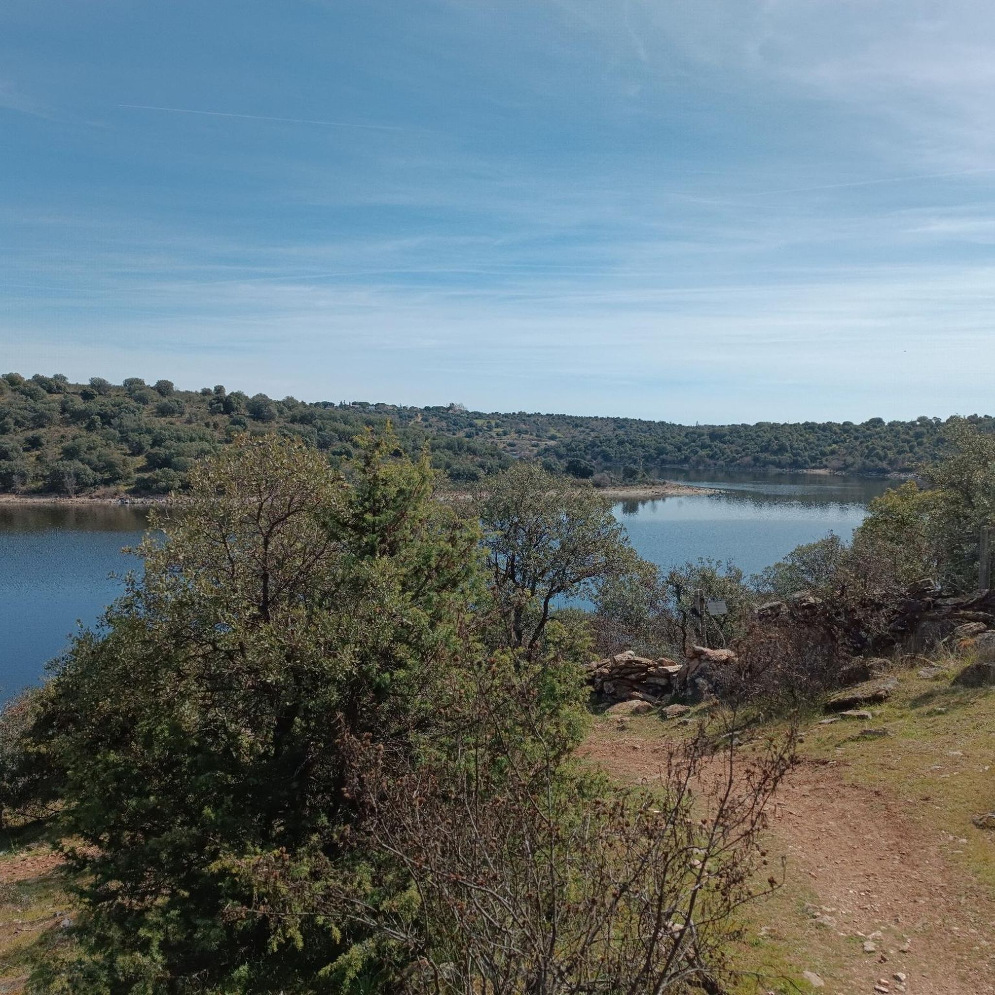
Other adventures around Venturada

Tips from the Community

The Hervidero Waterfall is a double waterfall on the Guadalix River, nestled in a rocky canyon and surrounded by riverside vegetation. It can be reached via a flat and easy 7 km (round trip) route starting from San Agustín del Guadalix, ideal for family hikes.
4
0

The Castle and Walls of Buitrago del Lozoya, one of the most important medieval sites in the Community of Madrid: The town has pre-Roman roots and was mentioned by Livy as a Celtiberian fortress (Litabrum). Muslim Fortification: Between the 8th and 11th centuries, the Muslims built the wall to protect the territory. Reconquest: Alfonso VI conquered it in 1085, and it passed into Christian hands. Current Castle: Built in the 15th century by the Mendoza family, during the reign of John II of Castile. Historical Uses: Noble residence, defensive stronghold, and setting for events such as the imprisonment of Juana la Beltraneja.
3
0

Beautiful place and beautiful river, with water, as it was flowing today.
0
0

Curious place before arriving at Bustarviejo.
0
0
A beautiful stone bridge. The climb afterward is quite rocky, and you'll have to walk for a bit.
0
0

mountain biking, running or hiking
0
0
Stone bridge that crosses the Lozoya River near its passage through the Pinilla reservoir.
0
0
Frequently Asked Questions
How many gravel bike trails are available around Venturada?
Venturada and the surrounding Sierra Norte de Madrid offer over 25 gravel bike trails, providing a wide range of options for exploring the region's diverse terrain.
What kind of terrain can I expect on gravel bike trails around Venturada?
The gravel bike trails around Venturada are characterized by mountainous landscapes, extensive forests, and low-traffic rural roads. You'll encounter a mix of well-maintained forest tracks and rural paths, often described as 'quite gravelly'. This variety provides an engaging experience, from flowing gravel sections to more demanding parts.
Are there any easy gravel bike trails suitable for beginners in Venturada?
While many trails in Venturada are rated difficult, there are several moderate options available. For instance, the Pedrezuela Reservoir – Pedrezuela Reservoir loop from Pedrezuela is a moderate 32.9 km route that offers a good introduction to the area's gravel biking, taking about 2 hours 28 minutes to complete.
Can I find circular gravel bike routes in Venturada?
Yes, many of the gravel bike routes around Venturada are designed as loops, allowing you to start and end in the same location. A popular example is the Matafrailes Bridge – View of Lozoya Reservoir loop from La Cabrera, a challenging 84 km trail offering extensive views.
Are there any scenic viewpoints or natural features to see along the gravel trails?
Absolutely. The region is rich in natural beauty. You can visit the beautiful Hervidero Waterfall, a perfect scenic stop with a small lake. Another notable feature is the El Coso Waterfall. Many routes also offer extensive views of the Lozoya Reservoir and the surrounding mountains.
What historical landmarks or cultural sites can I explore while gravel biking in Venturada?
Beyond natural landscapes, Venturada's surroundings offer historical and cultural attractions. You can find ancient watchtowers like the Atalaya de El Molar, offering extensive views. The historic center of Talamanca de Jarama, with its medieval heritage, also provides a unique cultural dimension to your ride. While not directly on a route in this guide, the Retuerta Aqueduct – Las Cancheras Singletrack loop from El Molar passes by the historic Retuerta Aqueduct.
What do other gravel bikers enjoy most about the trails in Venturada?
The gravel bike trails in Venturada are highly rated by the komoot community, with an average score of 4.875 stars from over 5 reviews. Riders often praise the diverse terrain, the blend of natural beauty with mountains and valleys, and the quiet, low-traffic rural roads that make for an immersive experience.
Is Venturada suitable for family-friendly gravel biking?
While many routes are rated difficult, the region does offer options for varying skill levels. For family outings, look for shorter, less technical routes. The Navalafuente Town Hall – Zone of Gentleness loop from Navalafuente, at 23 km, offers a more manageable distance, though it is still rated difficult due to elevation.
What is the best time of year for gravel biking in Venturada?
The Sierra Norte de Madrid, where Venturada is located, offers good conditions for gravel biking for much of the year. Spring and autumn generally provide pleasant temperatures and vibrant scenery. Summers can be hot, so early morning rides are recommended. Winters can bring colder temperatures, but many tracks remain rideable.
Are there places to eat or get refreshments near the gravel trails in Venturada?
Venturada and the surrounding villages have tourist infrastructure, including cafes and restaurants, where you can refuel. Many routes pass through or near these towns, making it convenient to find refreshments during or after your ride.
Where can I park my car when going gravel biking in Venturada?
Parking is generally available in the towns and villages that serve as starting points for many routes, such as La Cabrera, El Molar, Pedrezuela, or Navalafuente. Look for designated parking areas within these communities.
Can I access Venturada's gravel trails using public transport?
Venturada is located in the Sierra Norte de Madrid, and while public transport options exist to reach the region from Madrid, direct access to specific trailheads might require some planning. It's advisable to check local bus schedules to nearby towns like La Cabrera or El Molar, which are common starting points for rides.
Most popular attractions around Venturada

Get inspired with the komoot mobile app


Explore more
Browse the best Gravel rides in other regions.
