The best road cycling routes around Venturada
4.8
(21)
5,187
riders
70
rides
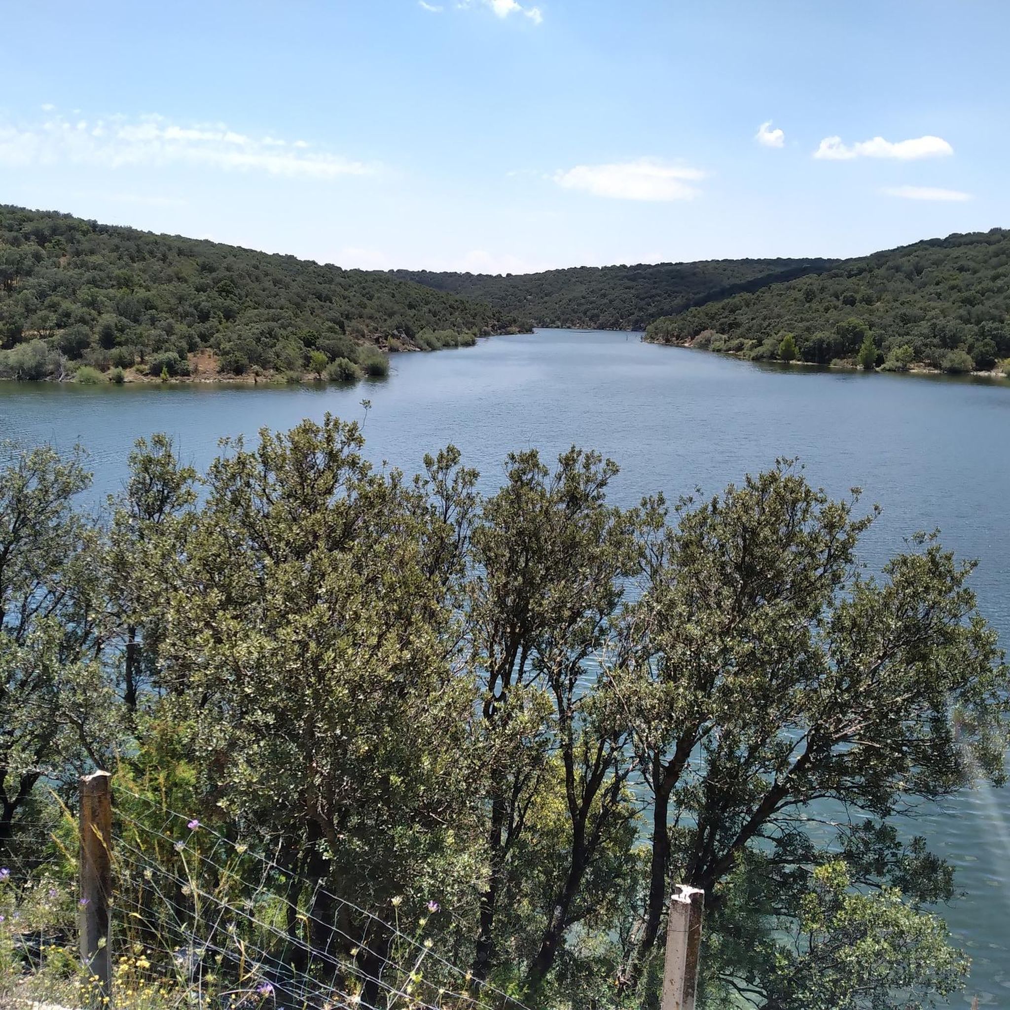
Road cycling routes around Venturada often traverse the rolling hills and rural landscapes characteristic of the Madrid region. The area features a mix of open countryside, agricultural lands, and occasional wooded sections, providing varied scenery for cyclists. Elevations typically involve gradual ascents and descents, suitable for road biking. Venturada is situated in the Sierra Norte of Madrid, characterized by diverse topography including valleys and holm oak forests, connecting to the Sierra de Guadarrama and the Jarama River basin.
Best road…
Last updated: July 5, 2026
112
riders
71.2km
03:49
1,080m
1,080m
Hard road ride. Very good fitness required. Some segments of this route may be unpaved and difficult to ride.
5.0
(1)
76
riders
42.4km
02:02
570m
580m
Moderate road ride. Good fitness required. Mostly well-paved surfaces and easy to ride.

Sign up for free
69
riders
74.2km
03:29
1,000m
1,000m
Hard road ride. Very good fitness required. Mostly well-paved surfaces and easy to ride.
49
riders
50.8km
02:13
380m
380m
Moderate road ride. Good fitness required. Some segments of this route may be unpaved and difficult to ride.
4.0
(2)
42
riders
79.9km
03:41
960m
960m
Hard road ride. Very good fitness required. Mostly well-paved surfaces and easy to ride.
Get access to more routes and recommendations from other explorers.
Sign up for free
Already have an account?
Our route recommendations are based on thousands of hikes, rides, and runs completed by other people on komoot.
Start today with a free account
Your next adventure awaits.
Login or Signup
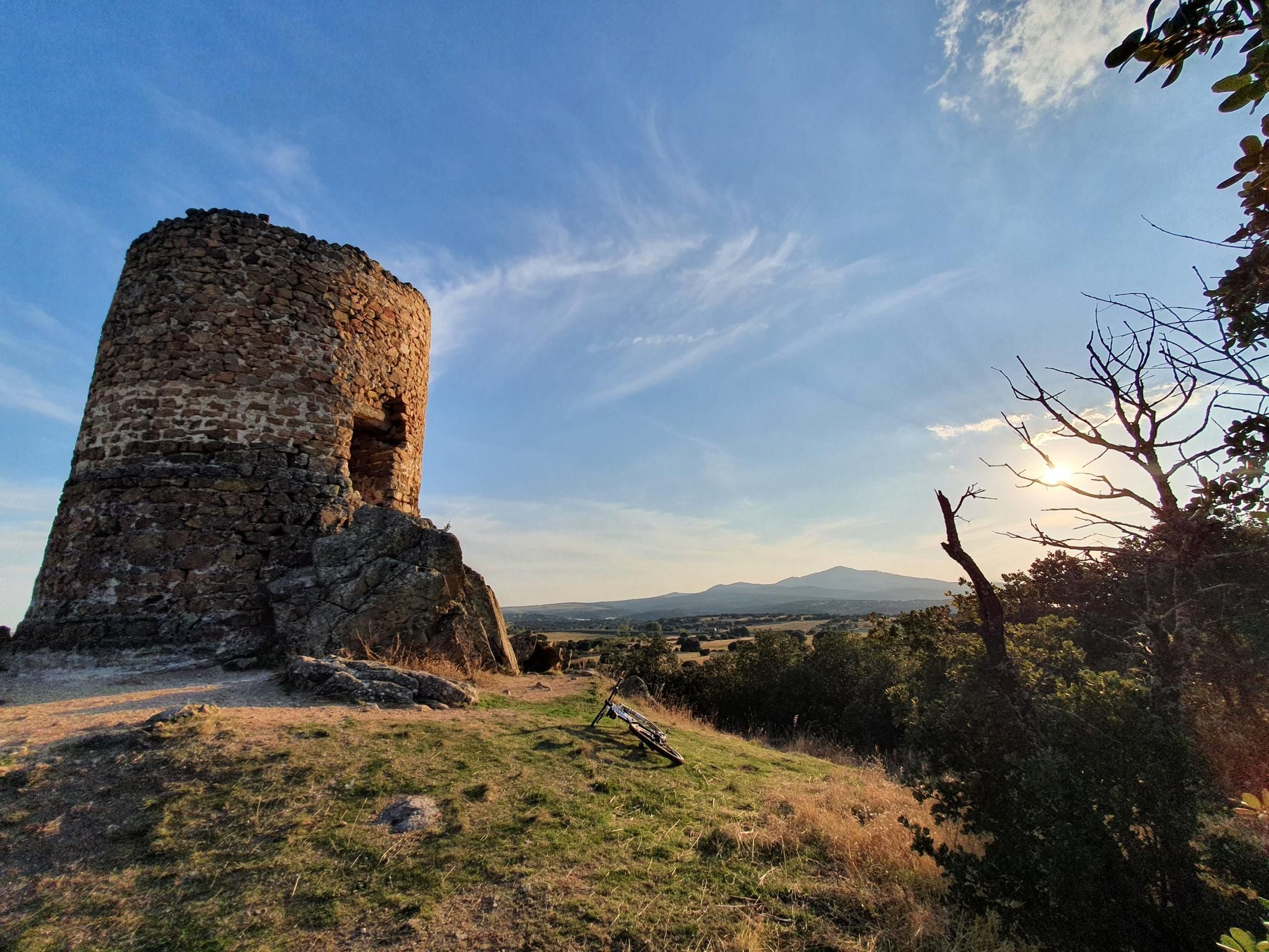
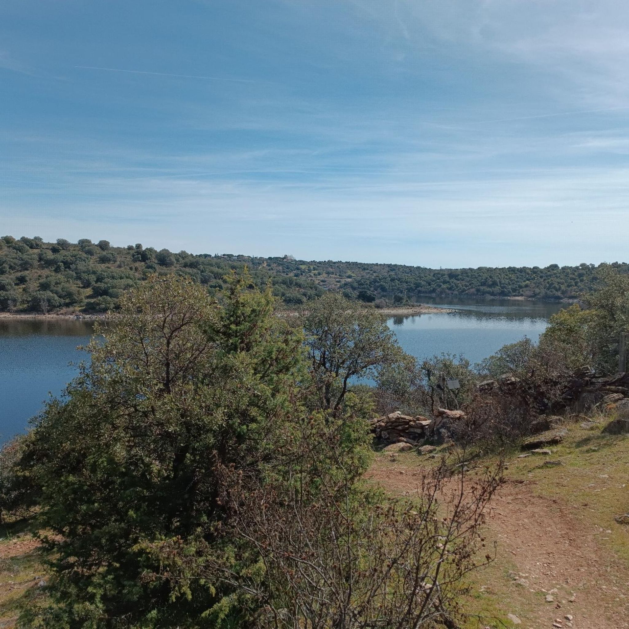
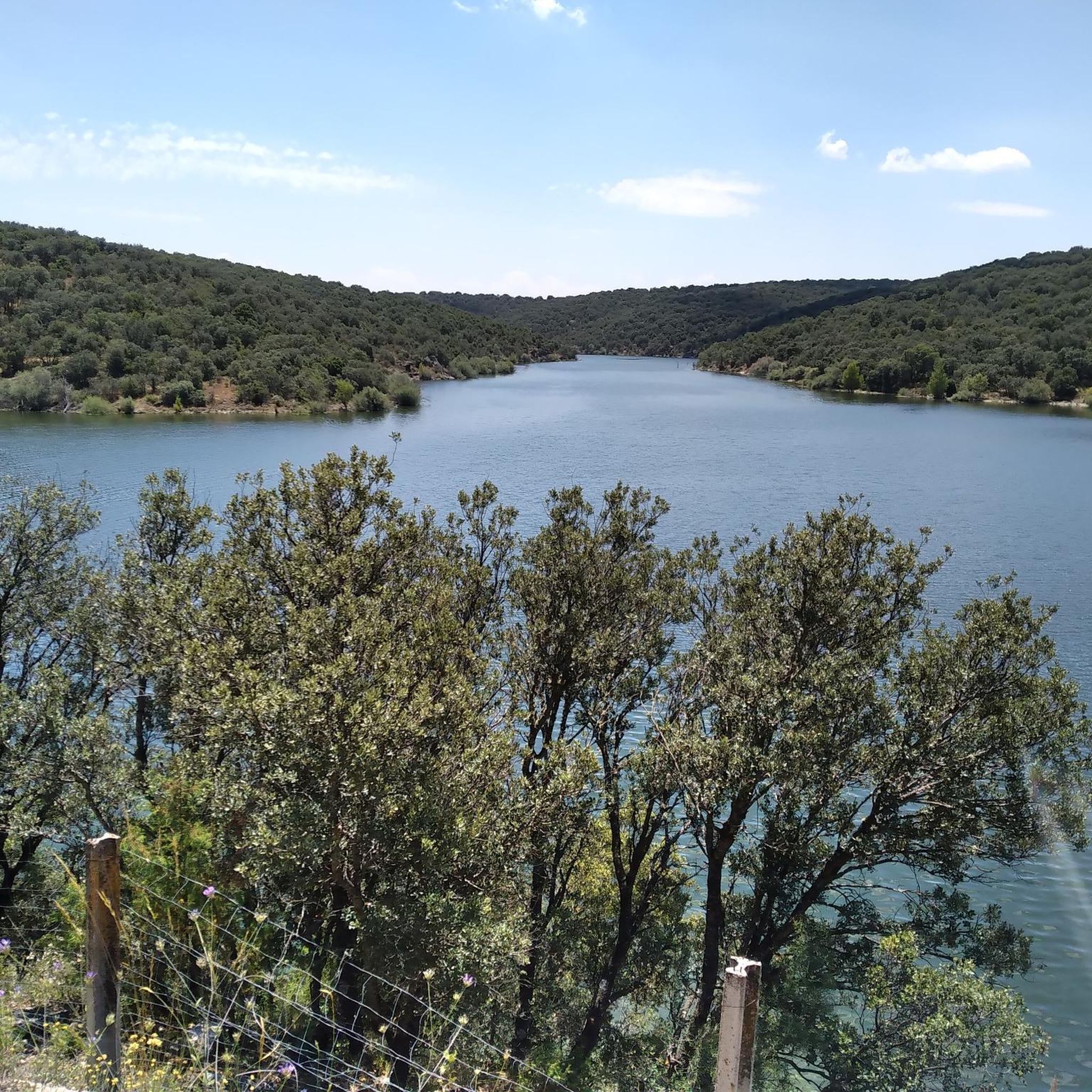

Other adventures around Venturada

Tips from the Community

The historic center of Talamanca de Jarama is one of the most interesting medieval ensembles in the Community of Madrid, boasting a rich heritage and a history dating back to the Iron Age. It is associated with the ancient Roman city of Armántica and later became a fortified medina founded by Emir Muhammad I in 852 to protect the Jarama River route. Muslim period: It reached its peak as a military and cultural center, with walls and a Koranic school. Reconquest: In 1085, it fell into Christian hands and became an important commercial center under the Archbishopric of Toledo. Later centuries: It preserves Roman, Visigothic, Arab, and Christian traces, giving it a unique character.
17
0

The **Centennial Yew of Canencia** is a unique tree of great botanical and landscape value in the Sierra de Guadarrama, in the Community of Madrid. It is not just a specimen, but part of a small population of yews that has survived in an exceptional setting, the Canencia Birch Forest. ### Characteristics and Location * **Species:** *Taxus baccata* (common yew). * **Age:** The most notable specimen is estimated to be between **400 and 500 years old**. Its longevity is one of the most fascinating characteristics of this species. * **Dimensions:** It has a trunk of considerable girth (around 4.10 meters) and a wide crown about 15 meters in diameter, which demonstrates its advanced age and health. * **Location:** It is located in the **Canencia Birch Forest** area, very close to the Canencia Pass. It is often included in the popular hiking trail known as "The Birch Forest Path" or the "Mojonavalle Waterfall Path." It is located near the Sestil del Maíllo stream. * **Environment:** The yew coexists with other unique species such as birch, holly, and Scots pines. This humid and protected microclimate has allowed the survival of these trees, which are relics of colder, wetter times. ### Importance and Uniqueness * **Botanical Value:** Yews are extremely slow-growing trees and are considered almost immortal. In Spain, they are a protected species, and finding such ancient specimens is a rarity. * **Landscape Value:** The Canencia yew stands out for its majestic appearance in the midst of a very picturesque forest, attracting numerous hikers and nature lovers. * **History and legend:** Like many ancient yew trees, it is steeped in legend. In many European cultures, they were considered sacred trees for their longevity and the toxicity of their parts (except for the pulp of their fruit). ### Access and routes To visit the yew, the most common route is the **Birch Forest Path**, which starts from the Canencia Pass itself. The path is signposted. You walk along a forest track to a detour that leads directly to the Chorrera de Mojonavalle, and a little further on, you will find the yew tree. Despite its age, the tree is increasingly visible and accessible, but it is essential to be respectful and not damage its surroundings to preserve this natural monument.
0
0

Fountain that you will find in the Puerto de Canencia.
0
0


Beautiful village with fountains and bar
0
0

Port suitable for beginners who want to get in shape
0
0
The bike route from Fuente el Saz de Jarama to Talamanca de Jarama is a popular option for cyclists. The distance between Fuente el Saz and Talamanca is approximately 10 km.
16
0
Frequently Asked Questions
How many road cycling routes are available around Venturada?
Venturada offers a diverse network of over 60 road cycling routes. These range from easy, flat rides through valleys to more challenging ascents in the surrounding hills, catering to various skill levels.
Are there easy road cycling routes suitable for beginners in Venturada?
Yes, Venturada has options for beginners. There are 2 easy routes, such as the 18.0 miles (29.0 km) Venturada Valley Ride, which leads through open valleys and past small villages, offering a gentle introduction to road cycling in the area.
What kind of terrain can I expect on road cycling routes near Venturada?
The terrain around Venturada is characterized by rolling hills and rural landscapes. You'll encounter a mix of open countryside, agricultural lands, and occasional wooded sections. Elevations typically involve gradual ascents and descents, providing varied scenery for cyclists.
Are there challenging routes for experienced road cyclists?
Absolutely. For experienced cyclists, Venturada offers 31 difficult routes. The 35.0 miles (56.3 km) Venturada Hills Challenge is a popular choice, featuring more sustained climbs and panoramic views of the surrounding landscape.
What are the best times of year for road cycling in Venturada?
Spring and autumn are generally the most pleasant seasons for road cycling in Venturada. The weather is milder, and the natural scenery is vibrant. Summers can be hot, especially midday, while winters are typically mild but can be cooler and wetter.
Are there any circular road cycling routes in Venturada?
Many of the routes around Venturada are designed as circular loops, allowing you to start and finish in the same location. The 25.0 miles (40.2 km) Venturada Countryside Loop is a prime example, offering a balanced mix of gentle climbs and descents.
What attractions or viewpoints can I see along the road cycling routes?
Road cycling routes around Venturada often pass by interesting natural and historical sites. You might encounter natural monuments like the Hervidero Waterfall or the El Coso Waterfall. Other points of interest include the Pedrezuela Reservoir and historical structures like the Town Gate of Talamanca de Jarama.
Is parking available near the road cycling routes in Venturada?
Yes, parking is generally available in Venturada and the surrounding villages, often near the starting points of popular routes. It's advisable to check specific route details for recommended parking areas.
Can I reach the road cycling routes in Venturada using public transport?
Public transport options to Venturada are primarily bus services connecting from larger towns in the Madrid region. While direct access to all route starting points might be limited, you can often reach Venturada itself and begin your ride from there.
What do other road cyclists say about the routes in Venturada?
The road cycling routes in Venturada are highly rated by the komoot community, with an average score of 4.8 stars from over 10 reviews. Cyclists often praise the varied terrain, scenic rural areas, and the opportunities to explore small villages.
Are there any amenities like cafes or restaurants along the routes?
Many routes pass through or near small villages where you can find local cafes and restaurants to refuel and rest. Venturada itself offers several options for refreshments before or after your ride.
Are there less crowded road cycling routes available in Venturada?
While some routes are popular, the extensive network of rural roads around Venturada means it's often possible to find quieter paths, especially during off-peak hours or by exploring some of the less-trafficked moderate and difficult routes.
Most popular attractions around Venturada

Get inspired with the komoot mobile app


Explore more
Browse the best Road cycling routes in other regions.
