The best gravel rides around Moriles
5.0
(4)
37
riders
5
rides
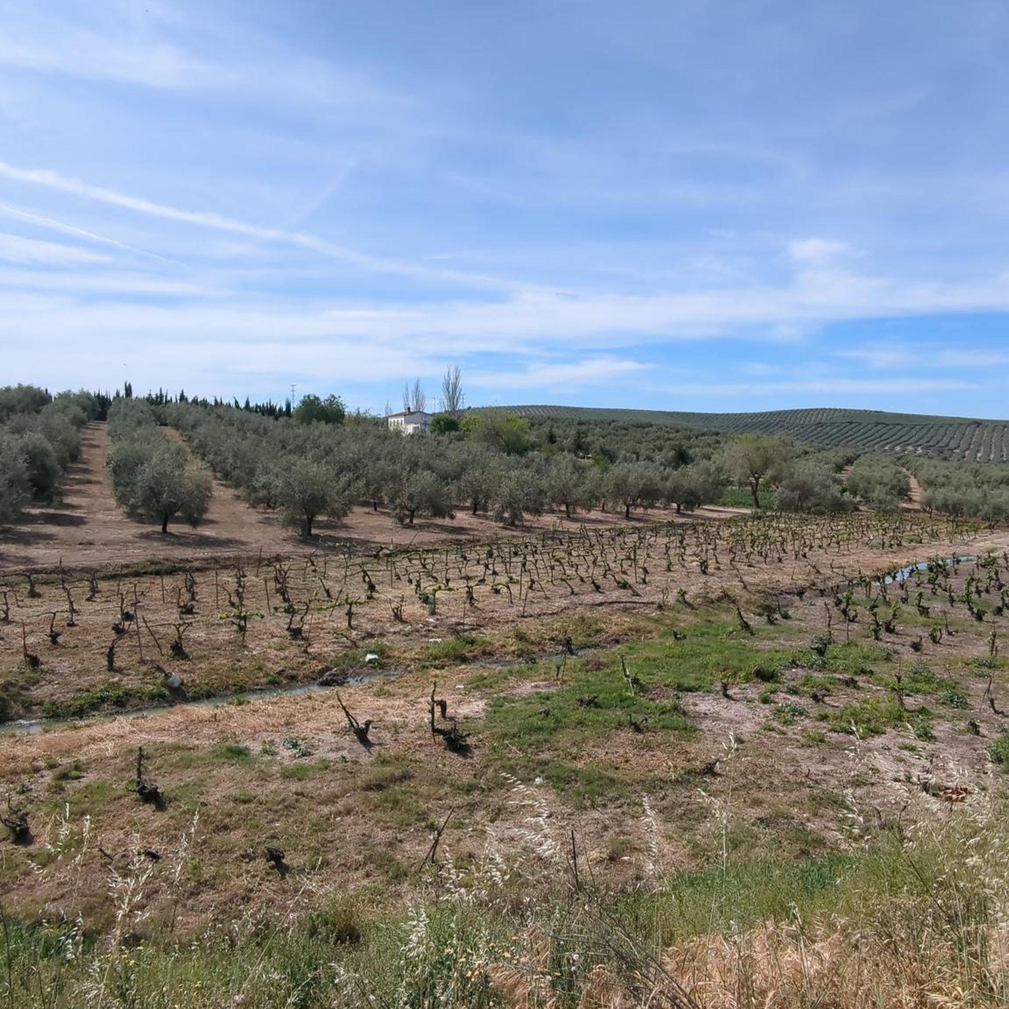
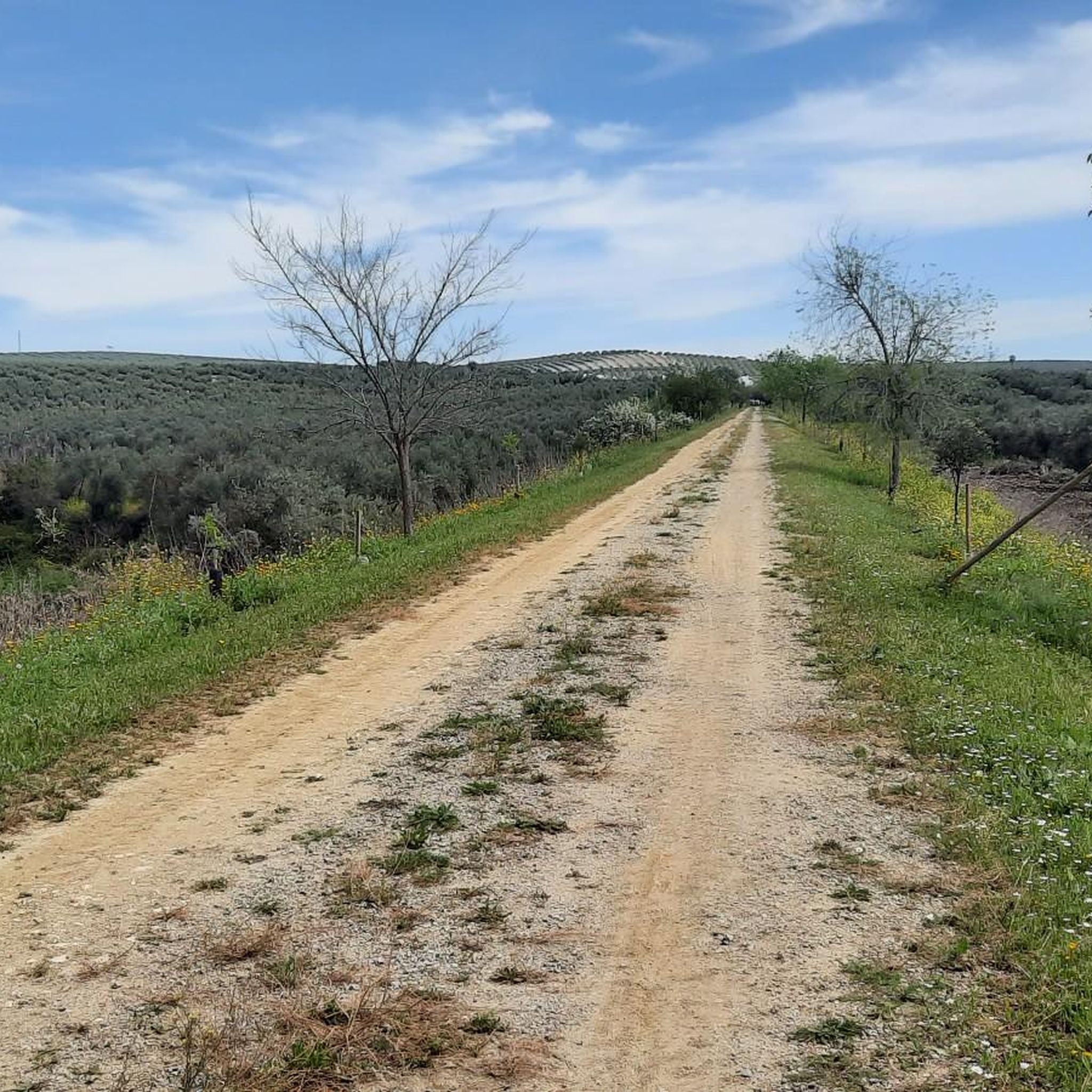
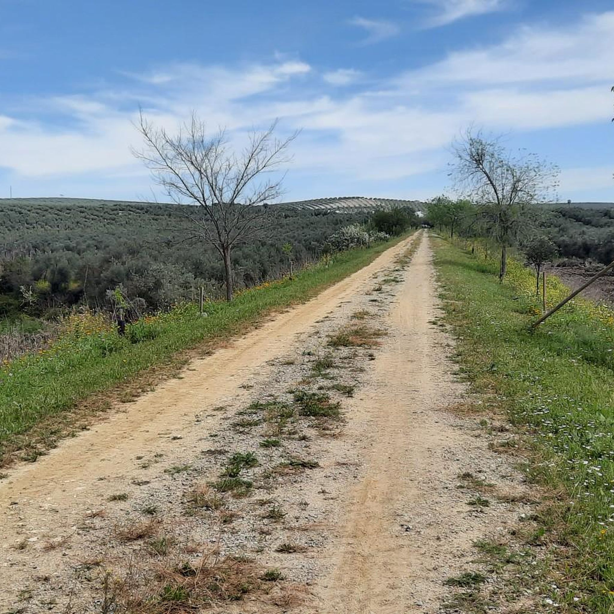
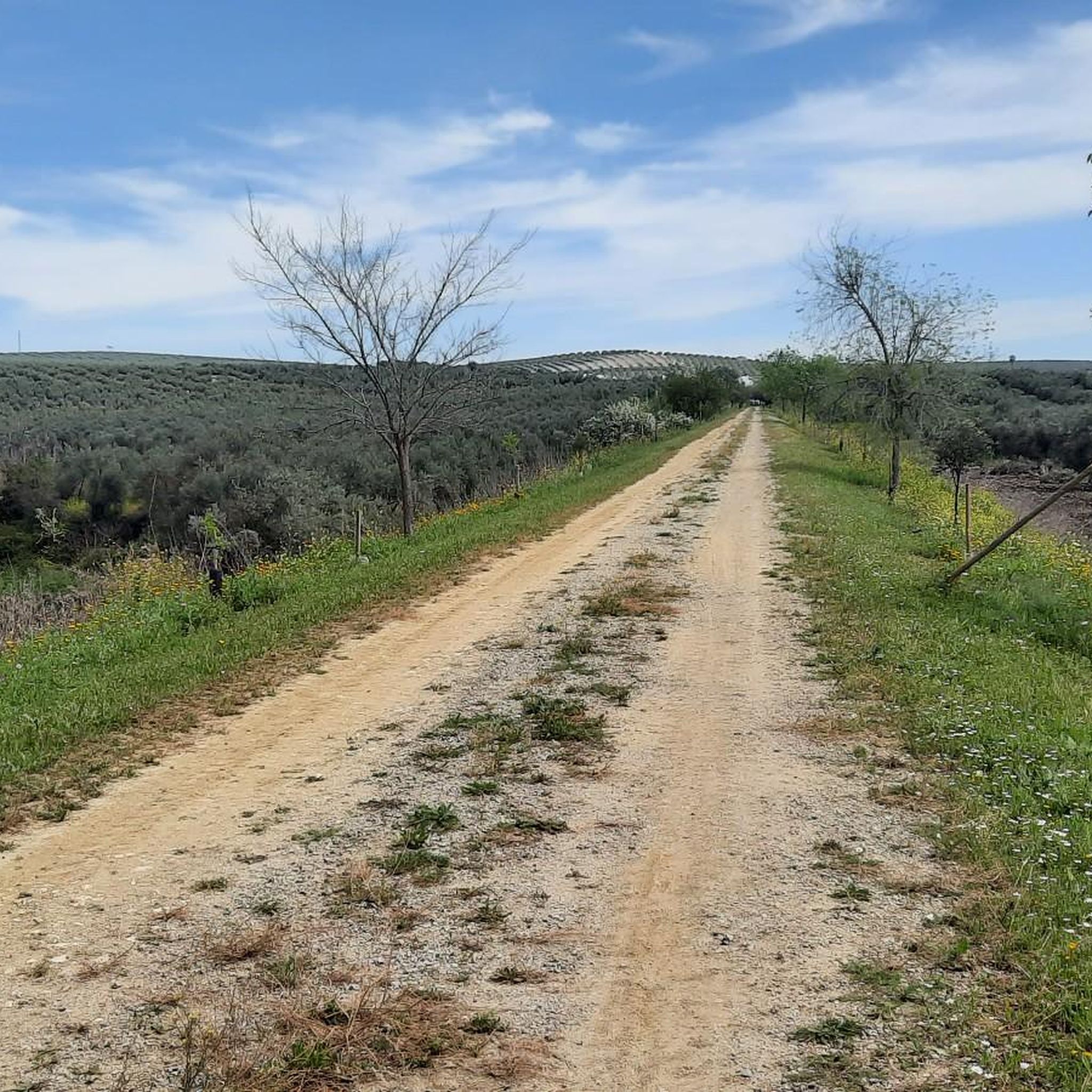
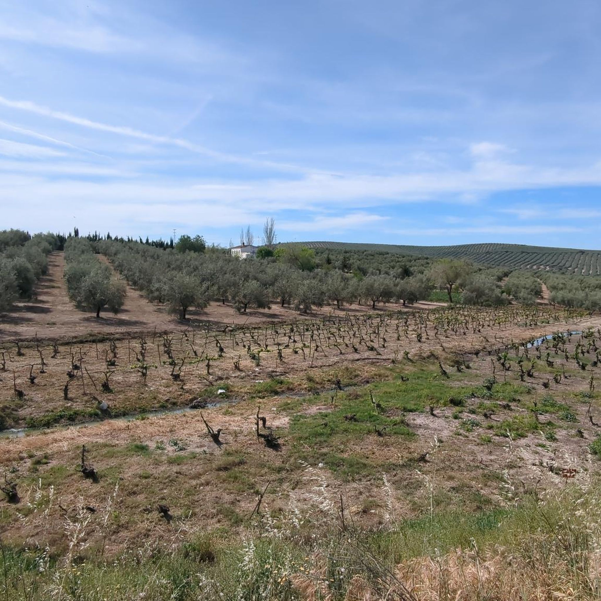
Gravel biking around Moriles offers routes through a landscape characterized by rolling hills, extensive vineyards, and olive groves typical of Andalusia. The region features former railway lines converted into Vías Verdes, providing relatively flat and well-maintained paths, interspersed with more challenging sections that include significant elevation changes. These trails often pass through agricultural areas and connect historical points, making for varied terrain suitable for gravel cyclists.
Best gravel bike trails around Moriles
- The most popular gravel bike trail is Alamedal…
Last updated: May 21, 2026
5.0
(2)
14
riders
103km
06:08
740m
740m
Hard gravel ride. Very good fitness required. Mostly paved surfaces. Suitable for all skill levels.
5.0
(1)
17
riders
52.7km
02:43
340m
340m
Moderate gravel ride. Good fitness required. Mostly paved surfaces. Suitable for all skill levels.

Sign up for free
5.0
(1)
5
riders
Hard gravel ride. Very good fitness required. Mostly paved surfaces. Suitable for all skill levels.
3
riders
136km
09:51
1,170m
1,170m
Hard gravel ride. Very good fitness required. Mostly paved surfaces. Suitable for all skill levels.
5.0
(1)
1
riders
51.9km
04:01
880m
880m
Hard gravel ride. Very good fitness required. Mostly paved surfaces. Suitable for all skill levels.
Our route recommendations are based on thousands of hikes, rides, and runs completed by other people on komoot.
Start today with a free account
Your next adventure awaits.
Login or Signup
Tips from the Community

give it your all
0
0

Old iron railway bridge, with some curious views
0
0

Aguilar de la Frontera [2] is a Spanish municipality in the southwest of the province of Córdoba, in the autonomous community of Andalusia. The municipality is located in the region of Campiña Sur Cordobesa [3] and is the seat of the judicial district of the same name. [4] It lies at an altitude of 280 m above sea level [5] and about 47 km from the provincial capital, Córdoba. [6] In 2017, it had 13,476 inhabitants and a population density of 82.01 inhabitants/km². [7]
0
0

The Fuente del Río in Cabra, is a picturesque natural park considered the origin of the Río Cabra. The park combines the natural beauty of a karst spring with landscaped gardens and a diverse tree landscape. It was declared a “Sitio de Interés Natural” in 1929 and today offers recreational areas and picnic areas for visitors. The spring rises at the foot of the Sierra de Cabra, an area with high rainfall and calcareous rock that leads to the formation of such karst springs. The water flows through a series of waterfalls and artificial springs and supplies the entire municipality. The Fuente del Río is part of the “Ruta del Agua” in the Subbética Cordobesa and offers a harmonious interplay of nature and human design. The park is a popular place for locals and visitors who want to enjoy the tranquility and beauty of this unique place. A visit to the Fuente del Río offers the opportunity to experience the natural beauty of the region and explore the origins of the Río Cabra.
3
0

This is a great and really beautiful church. Unfortunately, I couldn't take any more photos because there was an event there.
0
0
Frequently Asked Questions
What kind of terrain can I expect on gravel bike trails around Moriles?
The gravel biking trails around Moriles feature a diverse landscape of rolling hills, extensive vineyards, and olive groves, characteristic of Andalusia. Many routes utilize former railway lines, known as Vías Verdes, which offer relatively flat and well-maintained paths. However, you'll also encounter more challenging sections with significant elevation changes, particularly through agricultural areas and connecting historical points.
Are there any easy gravel bike trails suitable for beginners in Moriles?
While many routes in the Moriles area are rated as difficult, there is a moderate option suitable for those looking for a less strenuous ride. The Old Lucena Station – Montilla Vineyards loop from Puente Genil is a 35.5-mile (57.2 km) path that winds through the Montilla vineyards, offering scenic views without the most extreme climbs.
What are some of the longer and more challenging gravel bike routes in the region?
For experienced gravel bikers seeking a challenge, the Moriles area offers several demanding routes. The Cave of the Colegiata de Osuna – Palacio de Peñaflor loop from Puente Genil is the longest at 83 miles (133.6 km) with over 1,100 meters of elevation gain. Another significant option is the Alamedal Viaduct – Vía Verde del Aceite loop from Puente Genil, covering 64.1 miles (103.2 km) and featuring substantial climbs.
What attractions or points of interest can I see along the gravel bike trails?
Many routes pass through or near interesting landmarks. You can explore the Montilla Vineyards, visit the Old Lucena Station, or see the End of the Vía Verde del Aceite. Natural highlights include the Laguna de Zóñar Visitor Center and various viewpoints like Views of the Malpasillo Dam and Genil River.
Are there any circular gravel bike routes available?
Yes, several popular gravel bike routes in Moriles are designed as loops, allowing you to start and finish at the same point. Examples include the Vía Verde del Aceite – Alamedal Viaduct loop from Aparcamiento del Centro de Visitantes Laguna de Zóñar and the Montilla Town Center – Montilla loop from Aguilar de la Frontera.
What do other gravel bikers say about the trails in Moriles?
The gravel biking routes around Moriles are highly regarded by the komoot community, holding an impressive average score of 5.0 stars from 4 reviews. Over 30 gravel bikers have explored the varied terrain using komoot, often praising the unique blend of Vías Verdes, vineyard paths, and rolling hills that define the region's cycling experience.
How many gravel bike trails are available in the Moriles area?
There are 5 gravel bike trails documented for the Moriles area on komoot, offering a range of experiences from moderate to difficult, catering to different skill levels and preferences.
Are there any routes that specifically highlight the Vía Verde del Aceite?
Absolutely. The Vía Verde del Aceite is a prominent feature in the region. You can experience a significant section of it on the Vía Verde del Aceite – Alamedal Viaduct loop from Aparcamiento del Centro de Visitantes Laguna de Zóñar, which leads through varied terrain including this historic greenway.
What is the typical duration for a gravel bike ride in Moriles?
The duration of a gravel bike ride in Moriles varies significantly depending on the route's length and difficulty. For instance, the moderate Old Lucena Station – Montilla Vineyards loop from Puente Genil typically takes around 3 hours 50 minutes, while longer, more challenging routes like the Alamedal Viaduct – Vía Verde del Aceite loop from Puente Genil can take over 7 hours.
Are there any routes that pass through the famous Montilla vineyards?
Yes, the Montilla vineyards are a key feature of the landscape. The Old Lucena Station – Montilla Vineyards loop from Puente Genil is specifically designed to wind through these vineyards, offering picturesque views of the agricultural landscape. You can also find the Montilla Vineyards as a highlight in the area.
What kind of elevation changes can I expect on the trails?
The Moriles region features rolling hills, so you can expect significant elevation changes on many routes. For example, the Cave of the Colegiata de Osuna – Palacio de Peñaflor loop from Puente Genil includes over 1,100 meters of ascent, while even a moderate route like the Old Lucena Station – Montilla Vineyards loop from Puente Genil still has around 365 meters of climbing.
Most popular attractions around Moriles

Get inspired with the komoot mobile app


Explore more
Browse the best Gravel rides in other regions.
