The best gravel rides around Muro De Aguas
43
riders
10
rides
Gravel biking around Muro De Aguas offers routes through varied terrain characterized by significant elevation changes. The region features historical paths, such as the Senda de los Cuñados, and sections along the Cidacos Greenway, indicating a mix of river valleys and more rugged landscapes. Routes often connect cultural landmarks like castles and hermitages, providing a diverse riding experience. The area's gravel bike trails are predominantly challenging, with substantial climbs.
Best gravel bike trails around Muro De Aguas
- The most popular…
Last updated: July 3, 2026
4
riders
46.0km
03:48
660m
660m
Hard gravel ride. Very good fitness required. Mostly paved surfaces. Suitable for all skill levels.
3
riders
26.6km
02:25
560m
560m
Hard gravel ride. Very good fitness required. Mostly paved surfaces. Suitable for all skill levels.

Sign up for free
4
riders
58.2km
04:47
1,060m
1,060m
Hard gravel ride. Very good fitness required. Mostly paved surfaces. Suitable for all skill levels.
3
riders
39.5km
03:09
640m
640m
Hard gravel ride. Very good fitness required. Mostly paved surfaces. Suitable for all skill levels.
4
riders
41.8km
03:35
800m
800m
Hard gravel ride. Very good fitness required. Mostly paved surfaces. Suitable for all skill levels.
Get access to more routes and recommendations from other explorers.
Sign up for free
Already have an account?
Our route recommendations are based on thousands of hikes, rides, and runs completed by other people on komoot.
Start today with a free account
Your next adventure awaits.
Login or Signup
Tips from the Community

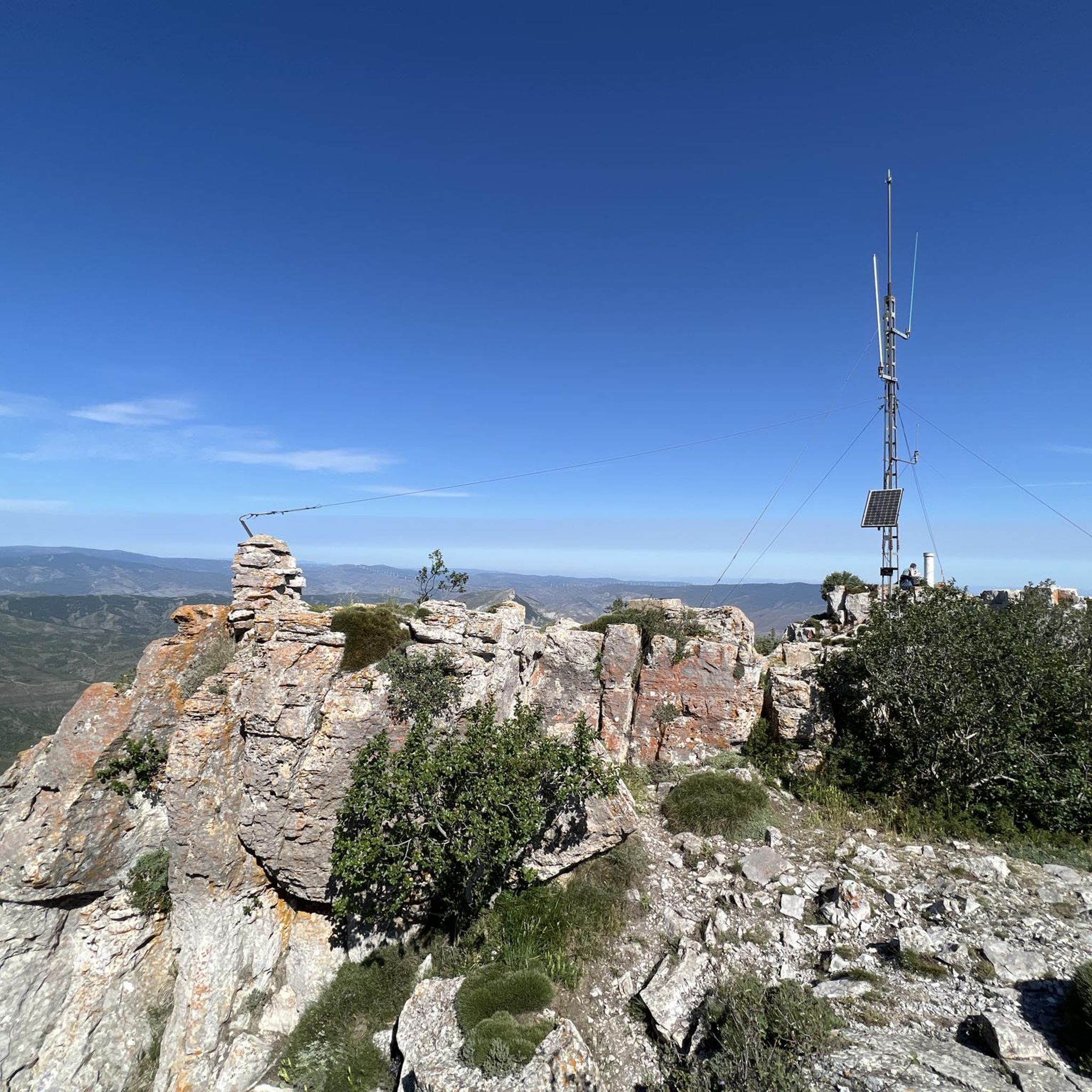
The trail is ideal for nature and outdoor lovers, and is suitable for people of different levels of hiking experience. Along the way, various species of flora and fauna can be observed, making the experience even more enriching.
7
0

Picnic area with water and beautiful views of the Prejano castle and the valley
0
1

Monastery located 4 kilometers from the center of Arnedo. It is reached by a walk along the Cidacos River to finally cross a small bridge.
1
0

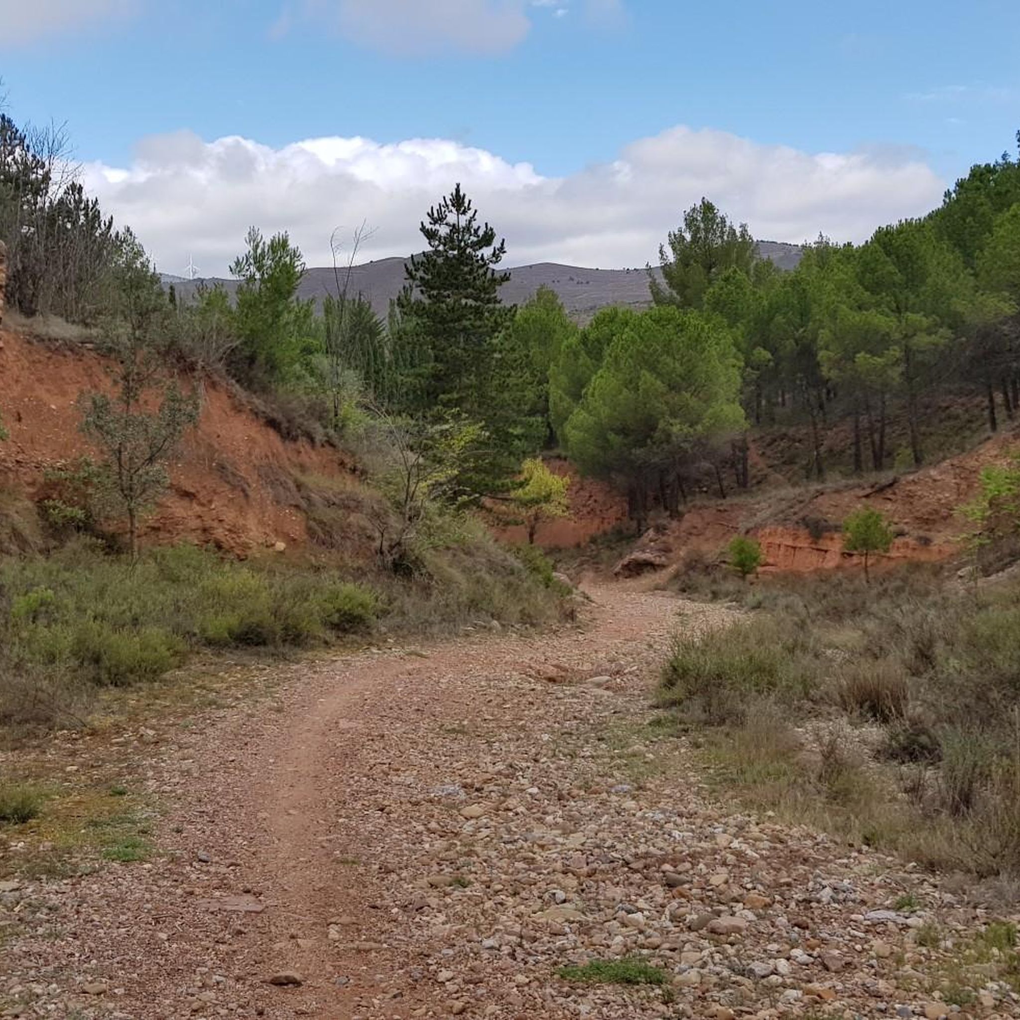
The Cidacos greenway runs peacefully through the valley of this river among the beautiful Rioja landscapes of reddish karst formations, orchards and some forests.
0
0

By the greenway very easy
0
1

Walk with some not very hard ascents and surrounded by holm oaks and holm oaks. Beautiful views as we gain height.
0
0
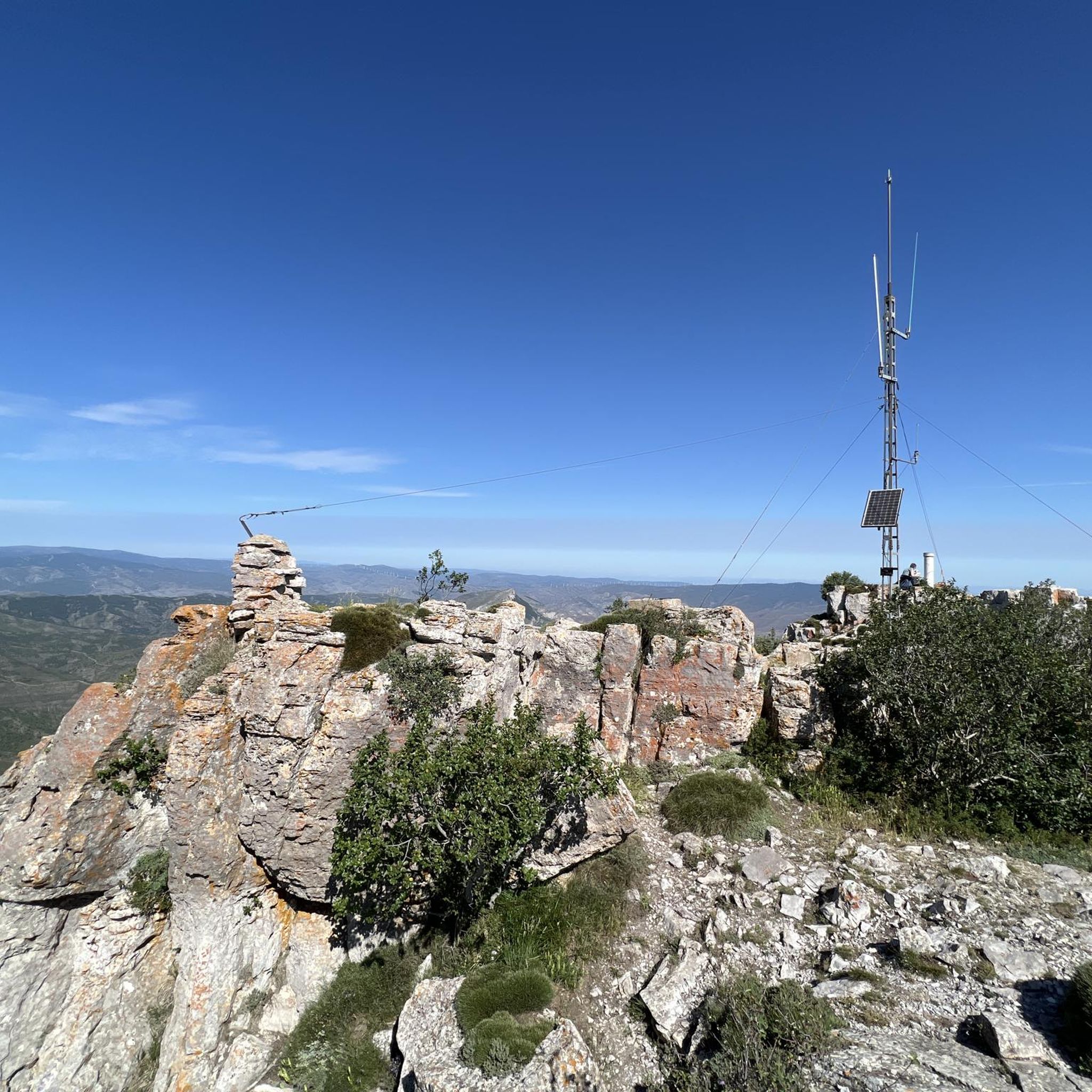
Spectacular views, route of medium difficulty.
0
0

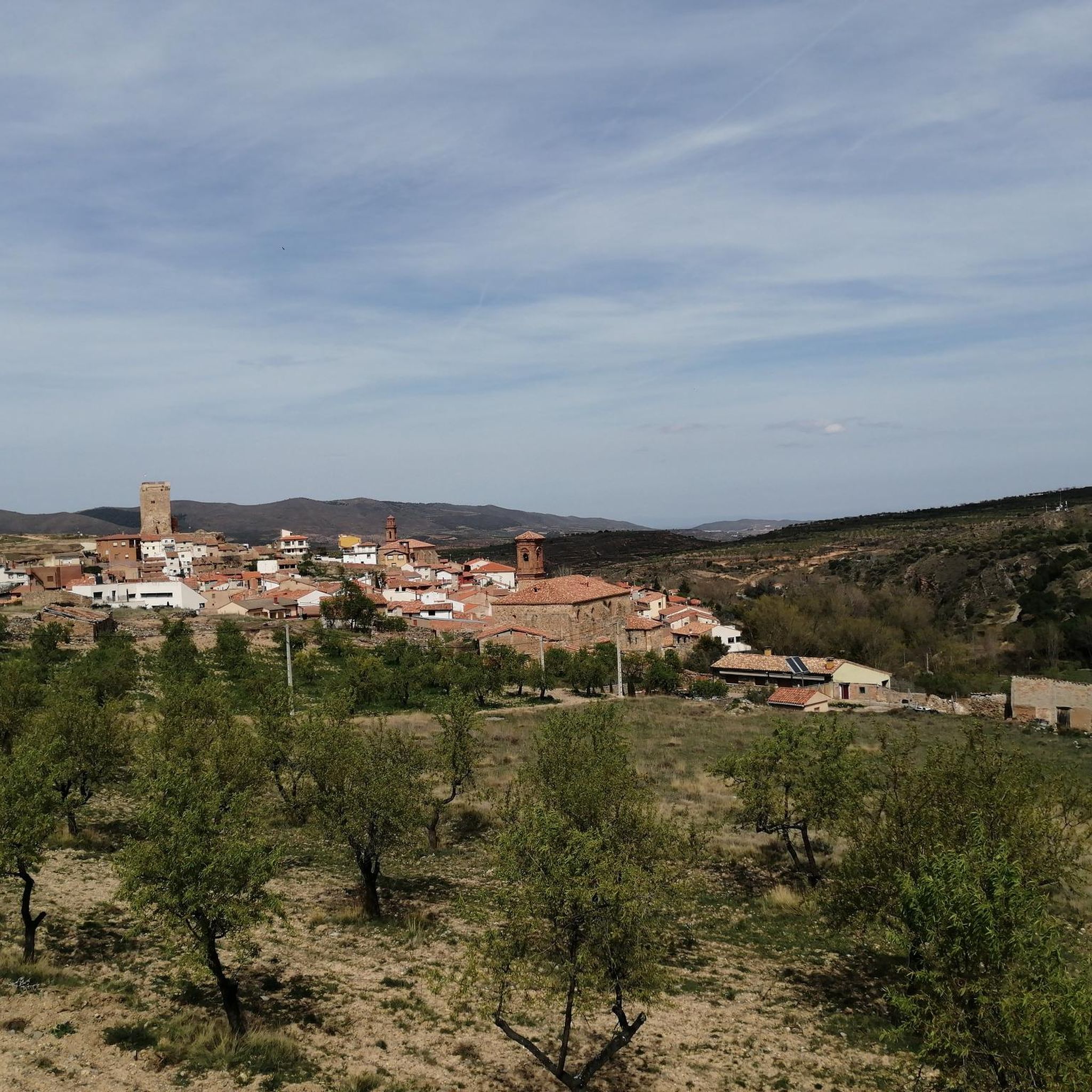
Préjano is a town in the Rioja Baja. It is located on the left bank of the Ruesca River. It was an old mining town, remains that you can see when you pass by. Today its inhabitants support themselves thanks to agriculture and the industry of Arnedo, the closest town that has more life. You can visit the two most representative churches in Préjano.
0
0
Frequently Asked Questions
What is the general difficulty level of gravel bike trails around Muro De Aguas?
The gravel bike trails in Muro De Aguas are predominantly challenging. All 9 routes listed in this guide are rated as difficult, featuring significant elevation changes and rugged landscapes. Riders should be prepared for substantial climbs.
Are there any easy or family-friendly gravel bike routes in Muro De Aguas?
Currently, all the gravel bike routes detailed in this guide for Muro De Aguas are rated as difficult. There are no easy or moderate trails specifically highlighted for beginners or families with young children. The terrain is characterized by considerable elevation gain, making it more suitable for experienced gravel bikers.
What kind of distances and elevation gains can I expect on gravel trails in this region?
Gravel trails around Muro De Aguas vary in length and elevation. For example, the Autol and its Picuezos – Senda de los Cuñados loop from Arnedo is 36.2 miles (58.2 km) with over 1000 meters of elevation gain. Shorter, yet still challenging, options like the Senda de los Cuñados – Ermita de San Marcos loop from Arnedo cover 16.5 miles (26.6 km) with over 500 meters of climbing.
What historical or natural landmarks can I see along the gravel bike trails?
Many routes incorporate historical paths and cultural landmarks. You can explore sections of the Cidacos Greenway, visit the Ermita de San Marcos, or pass by the impressive Préjano Castle. The region also features notable peaks like Peña Isasa.
Are there any circular gravel bike routes available?
Yes, many of the gravel bike routes in Muro De Aguas are designed as loops. Examples include the Autol and its Picuezos – Cidacos Greenway loop from Arnedo and the Senda de los Cuñados – Préjano Castle loop from Arnedo, allowing you to start and finish in the same location.
What is the best time of year for gravel biking in Muro De Aguas?
While specific seasonal data isn't available, the varied terrain and significant climbs suggest that spring and autumn would likely offer the most pleasant conditions for gravel biking in Muro De Aguas, avoiding the extreme heat of summer and potential winter snow or ice at higher elevations.
What do other gravel bikers say about the trails in Muro De Aguas?
The komoot community highly rates the gravel biking experience in Muro De Aguas, with an average score of 5.0 stars. Riders often appreciate the challenging nature of the routes, the historical paths like the Senda de los Cuñados, and the diverse landscapes encountered.
Where can I find parking when starting a gravel bike tour in Muro De Aguas?
Most of the featured gravel bike routes in this guide start from Arnedo. As a town, Arnedo typically offers various parking options, including street parking and potentially designated car parks. It's advisable to check local parking regulations upon arrival.
Are there options for public transport access to the gravel bike trails?
Specific public transport connections directly to the trailheads are not detailed in the route information. However, Arnedo, being a larger town, may have bus services connecting it to other regional centers. Riders should research local bus schedules if planning to use public transport to reach the starting points.
Are there any cafes or places to refuel along the gravel routes?
While the routes themselves traverse varied terrain, many tours start from Arnedo, a town where you can expect to find cafes, restaurants, and shops for refreshments before or after your ride. For longer routes, it's recommended to carry sufficient water and snacks as services might be sparse on the trails themselves.
How many gravel bike trails are covered in this guide for Muro De Aguas?
This guide features 9 distinct gravel bike trails around Muro De Aguas, all of which are rated as difficult due to the challenging terrain and elevation profiles.
Which trail offers a good mix of the Cidacos Greenway and historical paths?
The Autol and its Picuezos – Cidacos Greenway loop from Arnedo is an excellent choice, as it features sections along the scenic Cidacos Greenway while also incorporating significant elevation gain characteristic of the region's more rugged historical paths.
Most popular routes around Muro De Aguas
Most popular attractions around Muro De Aguas

Get inspired with the komoot mobile app


Explore more
Browse the best Gravel rides in other regions.
