The best running trails around Muro De Aguas
330
runners
26
runs
Jogging around Muro De Aguas offers diverse landscapes, from mountainous terrain to river valleys. The region is characterized by extensive forests, hills, and unique geological features like dinosaur footprints. Runners can explore varied trails that wind through the Sierra de Peñalmonte, offering both challenging ascents and more gentle paths through huertas and along rivers. The area provides a natural setting for combining physical activity with exploration of its natural attractions.
Best jogging routes around Muro De Aguas
- The most popular…
Last updated: June 28, 2026
1
runners
6.10km
00:48
190m
200m
This moderate 3.8-mile (6.1 km) jogging loop takes you past the Hermitage San Marcos, Vico Cave, and Monastery of Our Lady of Vico.
21
runners
25.8km
03:37
1,210m
1,210m
Hard run. Very good fitness required. Mostly paved surfaces. Suitable for all skill levels.

Sign up for free
23
runners
Hard run. Very good fitness required. Mostly paved surfaces. Suitable for all skill levels.
18
runners
14.6km
01:32
160m
160m
Moderate run. Good fitness required. Mostly paved surfaces. Suitable for all skill levels.
6
runners
13.0km
01:56
770m
770m
Hard run. Very good fitness required. Sure-footedness, sturdy shoes and alpine experience required.
Get access to more routes and recommendations from other explorers.
Sign up for free
Already have an account?
Our route recommendations are based on thousands of hikes, rides, and runs completed by other people on komoot.
Start today with a free account
Your next adventure awaits.
Login or Signup
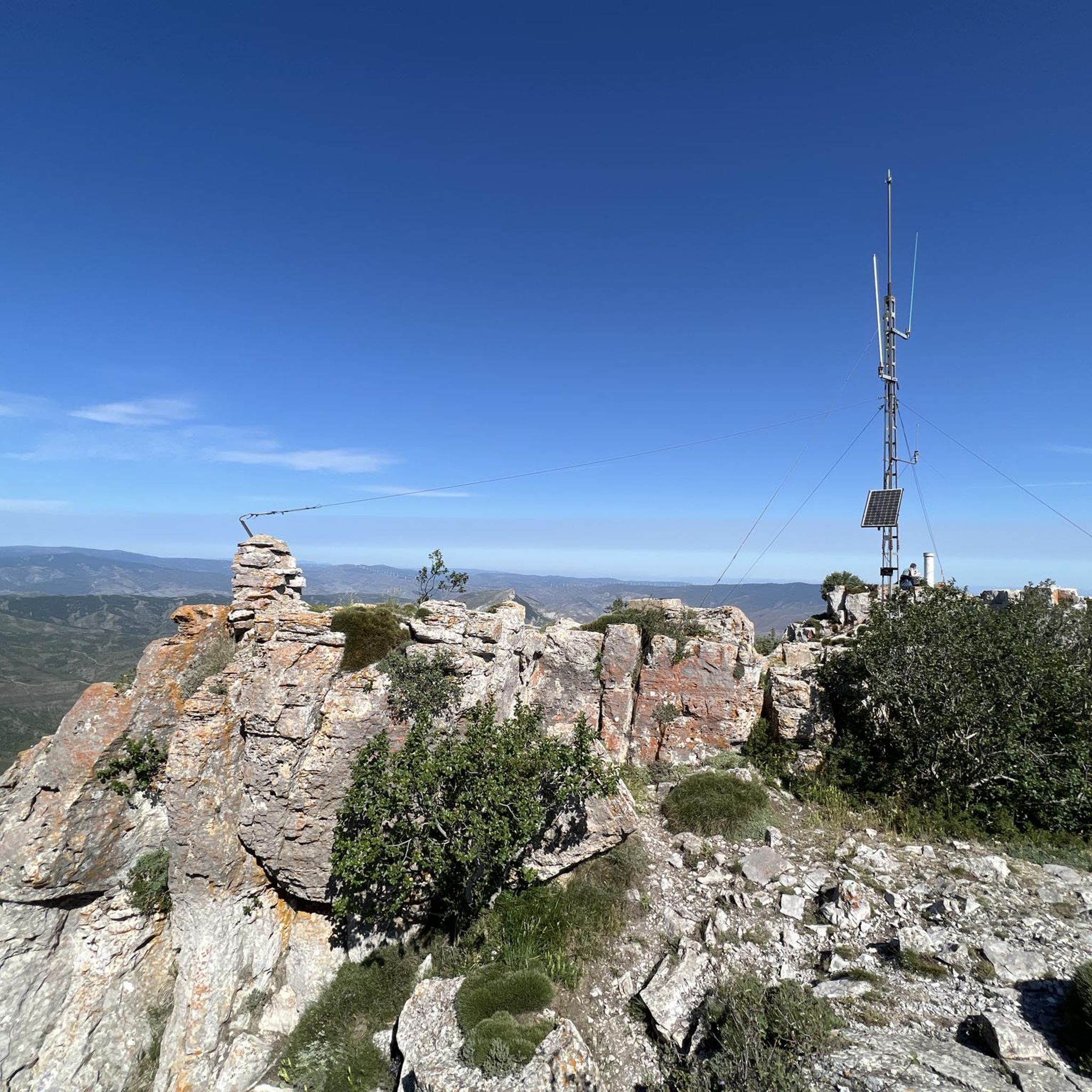
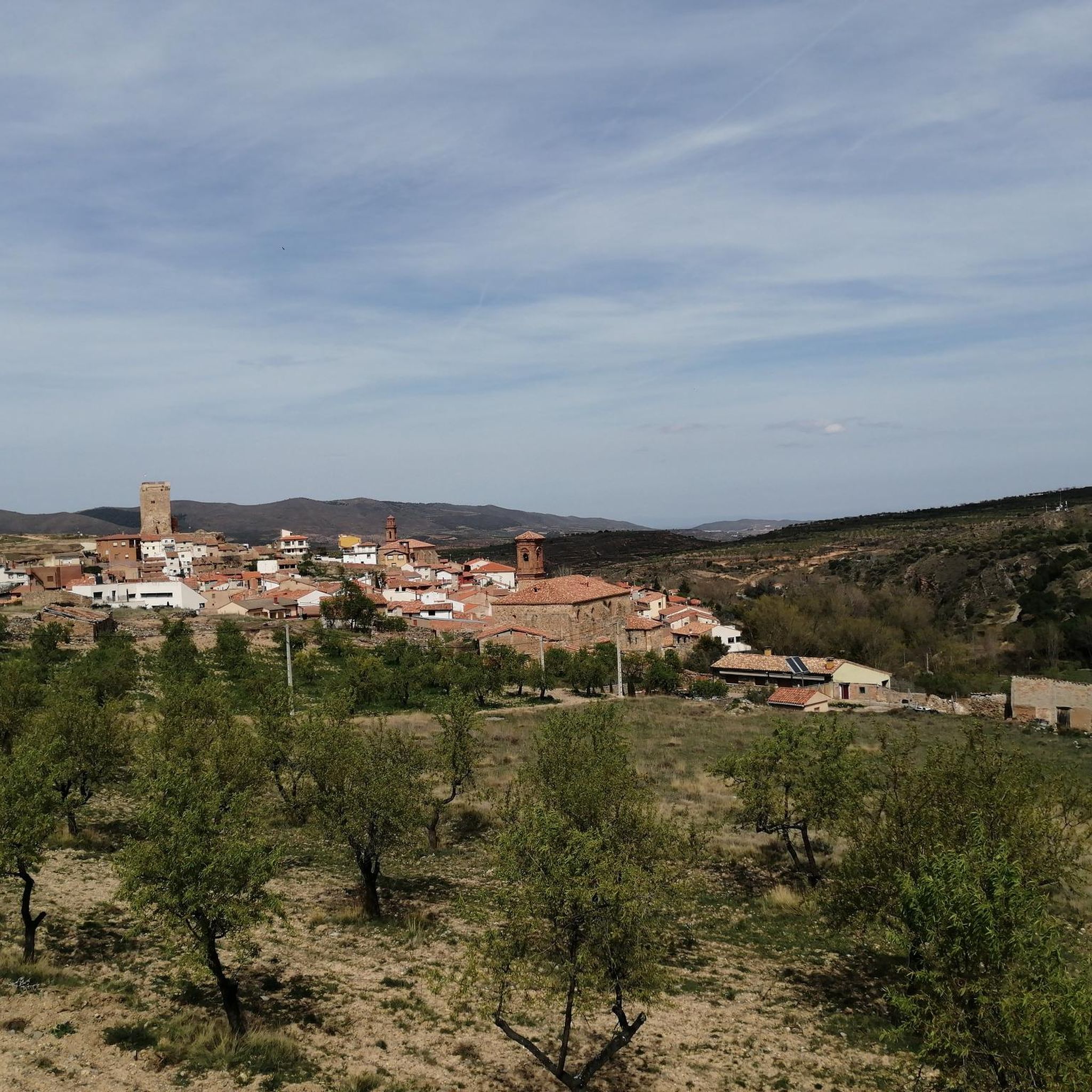
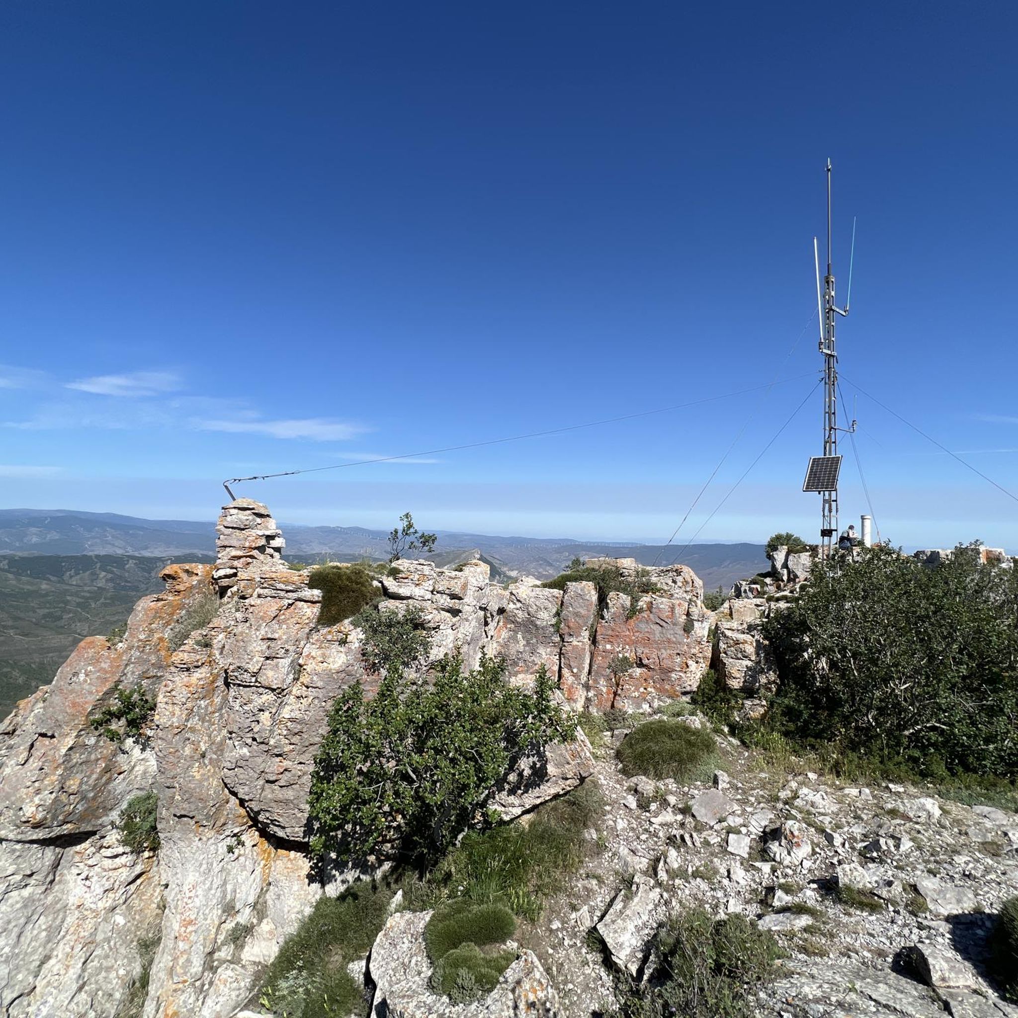
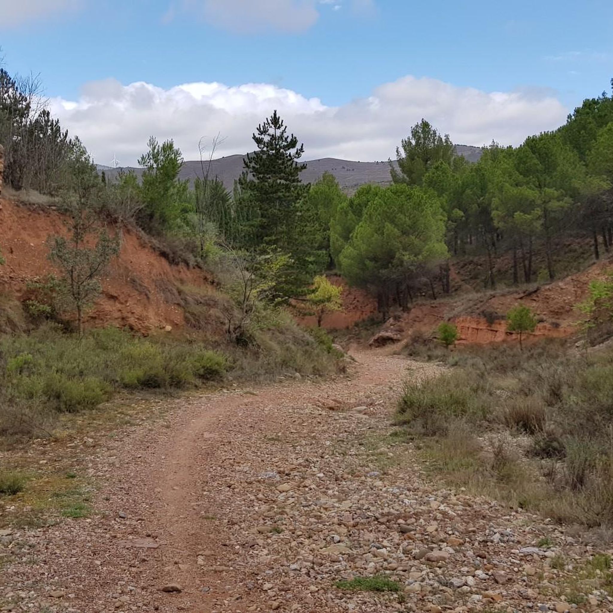
Tips from the Community

Beautiful views of the banks of the Cidacos.
0
0

The trail is ideal for nature and outdoor lovers, and is suitable for people of different levels of hiking experience. Along the way, various species of flora and fauna can be observed, making the experience even more enriching.
7
0

Picnic area with water and beautiful views of the Prejano castle and the valley
0
1

Monastery located 4 kilometers from the center of Arnedo. It is reached by a walk along the Cidacos River to finally cross a small bridge.
1
0

After passing through the tunnel at the Autol station, you'll be greeted with the spectacular landscape of the Cidacos Valley. Get ready for the clay-colored cliffs, the castles, the cliff houses, and the green banks of the river. The detour to Préjano is worth it if you have the time, you'll find an old castle, impressive rock structures, remains of the old railway, and a small waterfall. Upon entering Arnedillo, you'll pass thorugh more impressive rock structures and end near the hot springs. Treat yourself to a drink and take in the sun and the views on a clear day.
1
0

The L-382 road runs along the gravel route of the Greenway before disappearing into a short tunnel. There is a nice wooden viewpoint over the valley.
0
0

Small summit near Peña Isasa, without a clear access path.
3
0
Frequently Asked Questions
How many running routes are available around Muro De Aguas?
There are over 20 running routes around Muro De Aguas, catering to various fitness levels. These include both moderate and more challenging trails through diverse landscapes.
What kind of terrain can I expect on the running trails in Muro De Aguas?
The terrain around Muro De Aguas is quite varied, featuring mountainous areas, dense forests, and river valleys. You'll find paths that wind through the Sierra de Peñalmonte, offering both challenging ascents and gentler sections through orchards and along rivers. Some routes also lead to unique geological sites.
Are there any easy or moderate running routes suitable for beginners or families?
Yes, while many routes are challenging, there are moderate options. For instance, the Monte de Vico Loop is a moderate 6.1 km trail that takes about 48 minutes to complete, offering a steady elevation gain through the Vico area. It's a good choice for those looking for a less strenuous run.
What are some of the more challenging running routes in the region?
For experienced runners seeking a challenge, routes like the Peña Isasa Summit loop from Préjano offer significant elevation gain over 12.7 km, providing expansive views from the summit. Another demanding option is the Ermita de San Marcos – Cueva de Vico loop from Monasterio de Nuestra Señora de Vico, a difficult 11.7 km route with substantial climbing.
Are there any circular running routes available in Muro De Aguas?
Yes, many of the running routes in Muro De Aguas are circular, allowing you to start and end at the same point. Examples include the Monte de Vico Loop and the Peña Isasa Summit loop from Préjano, which are designed as loops for convenience.
What natural landmarks or points of interest can I see while running in Muro De Aguas?
Muro de Aguas is rich in natural attractions. You can explore routes that lead to unique dinosaur footprints at sites like El Chorrón del Saltadero, Valdete, and Perosancio. The area also features several miradores (viewpoints) offering breathtaking panoramic vistas, and the historic natural spring at the village entrance. For specific peaks, consider routes near Peña Isasa.
Is Muro De Aguas suitable for dog-friendly running?
While specific regulations for dogs on trails are not detailed, the extensive natural environment of Muro de Aguas, with its forests and open paths, generally offers a welcoming setting for running with dogs. It's always advisable to keep dogs on a leash and check for any local signage regarding pet policies in specific protected areas.
What is the best time of year to go running in Muro De Aguas?
Muro de Aguas offers good running conditions throughout much of the year. Spring and autumn provide pleasant temperatures and vibrant scenery. Summer can be warm, but the extensive forests offer shaded paths. Winter running is also possible, though some higher elevation trails might be affected by weather conditions.
Are there any routes that offer significant viewpoints or scenic spots?
Absolutely. The mountainous terrain around Muro de Aguas, including areas near Peña Isasa, features numerous viewpoints (miradores) that provide stunning panoramic vistas of the surrounding landscapes. Routes like the Peña Isasa Summit loop from Préjano are particularly known for their expansive views.
What historical or cultural sites can be found near the running trails?
Beyond natural beauty, you can encounter historical sites such as the Préjano Castle and the Ermita de San Marcos. The village itself boasts an ancient washing place fed by a historic natural spring, adding a touch of local heritage to your outdoor experience.
How can I find parking for the running routes in Muro De Aguas?
While specific parking areas aren't detailed for every route, Muro de Aguas is a municipality well-suited for outdoor activities. Generally, you can find parking in or near the main villages or trailheads. It's recommended to check the individual route details on komoot for specific starting points and any associated parking information.
Can I reach the running trails using public transport?
Public transport options to reach specific trailheads in Muro de Aguas may be limited, as it is a rural area. It's best to research local bus services to the main villages within the municipality. For more remote starting points, personal transport is often the most convenient option. Always check local transport schedules in advance.
Most popular routes around Muro De Aguas
Most popular attractions around Muro De Aguas

Get inspired with the komoot mobile app


Explore more
Browse the best Running Trails & Routes in other regions.
