The best gravel rides around Peguerinos
4.8
(6)
213
riders
22
rides
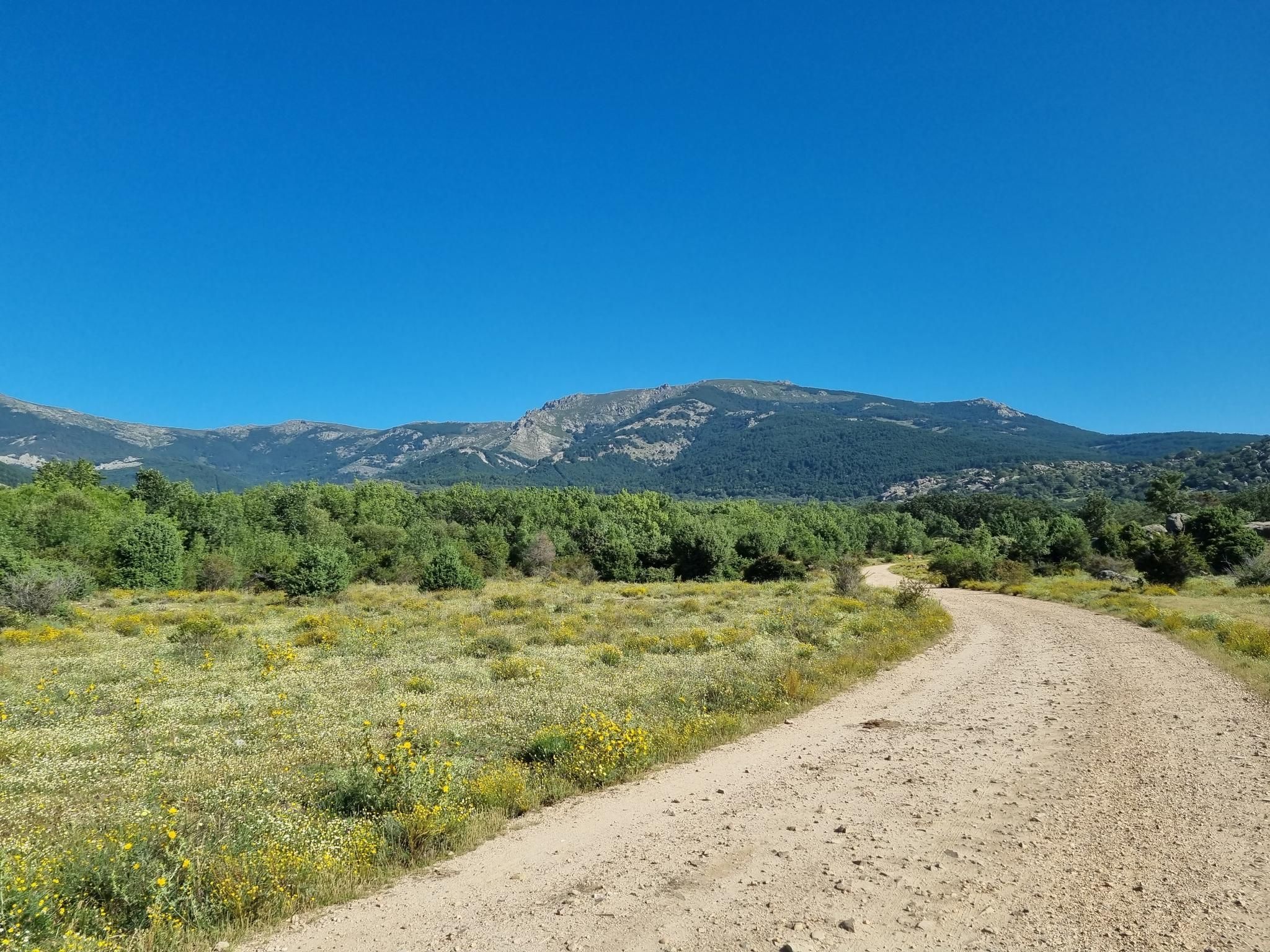
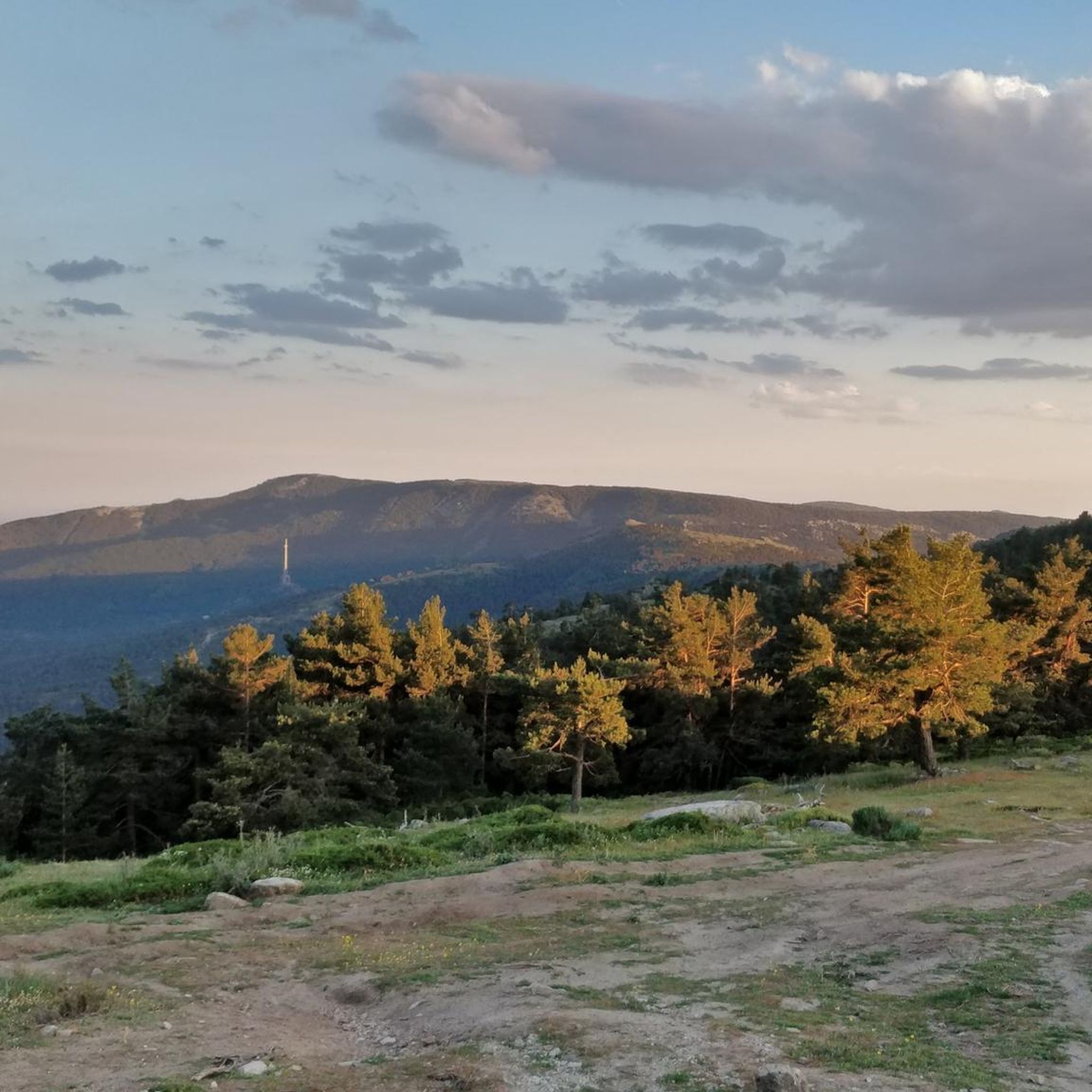
Gravel biking around Peguerinos, situated in the eastern part of Ávila province at over 1,300 meters altitude, offers diverse landscapes within the Sierra de Guadarrama National Park. The region is characterized by extensive pine forests, several reservoirs such as La Aceña and Cañada Mojada, and rugged mountainous terrain with granite formations. These features provide a varied network of trails suitable for mixed-surface riding.
Best gravel bike trails around Peguerinos
- The most popular gravel bike trail is Santillana Reservoir Bridge –…
Last updated: October 25, 2026
4.0
(2)
29
riders
54.1km
04:03
630m
630m
Hard gravel ride. Very good fitness required. Mostly paved surfaces.
27
riders
53.2km
04:06
440m
440m
Moderate gravel ride. Good fitness required. Mostly paved surfaces.

5.0
(2)
17
riders
Moderate gravel ride. Good fitness required. Mostly paved surfaces.
17
riders
48.1km
03:32
470m
470m
Hard gravel ride. Very good fitness required. Mostly paved surfaces.
5.0
(1)
26
riders
30.0km
02:30
880m
880m
Hard gravel ride. Very good fitness required. Mostly paved surfaces.
Get access to more routes and recommendations from other explorers.
Already have an account?
Our route recommendations are based on thousands of hikes, rides, and runs completed by other people on komoot.
Start today with a free account
Your next adventure awaits.
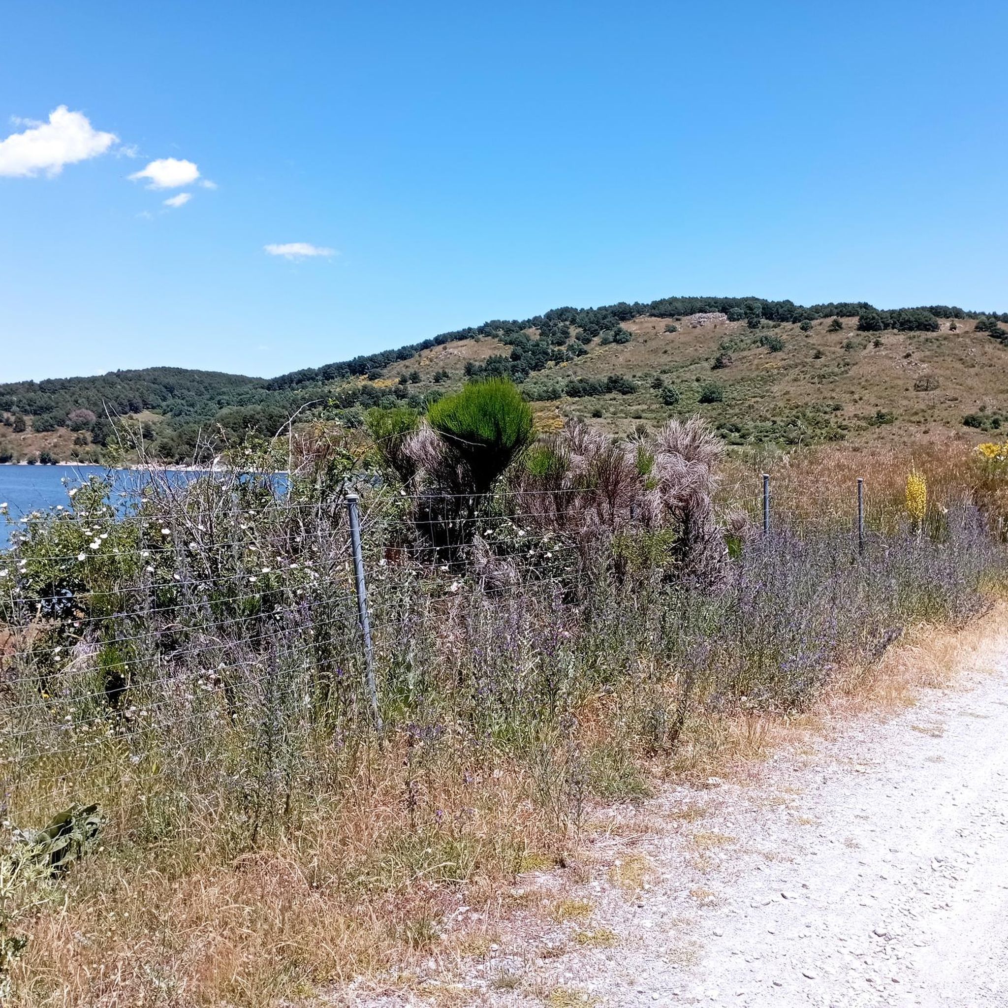
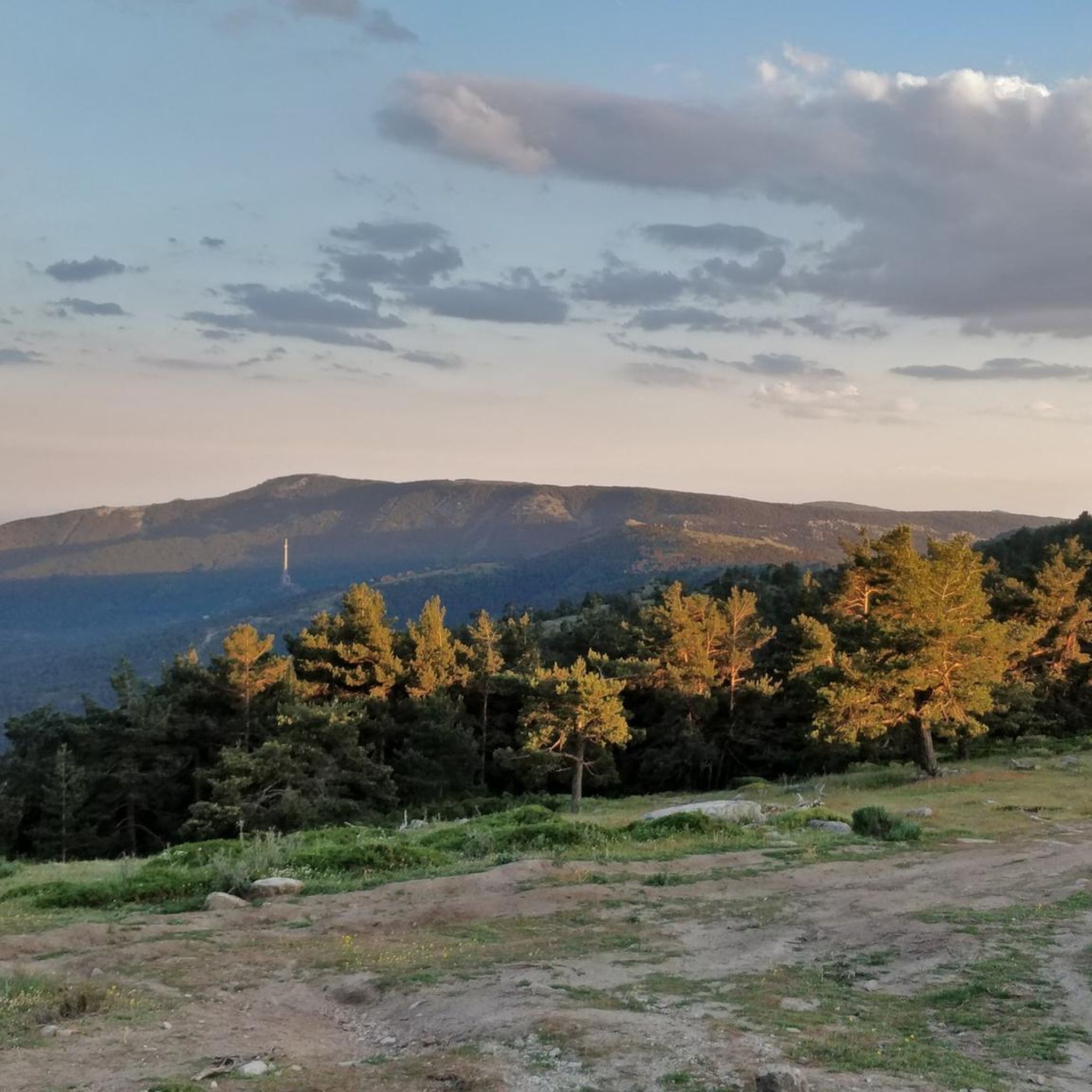
Other adventures around Peguerinos

Tips from the Community

Beautiful viewpoint with views
0
0
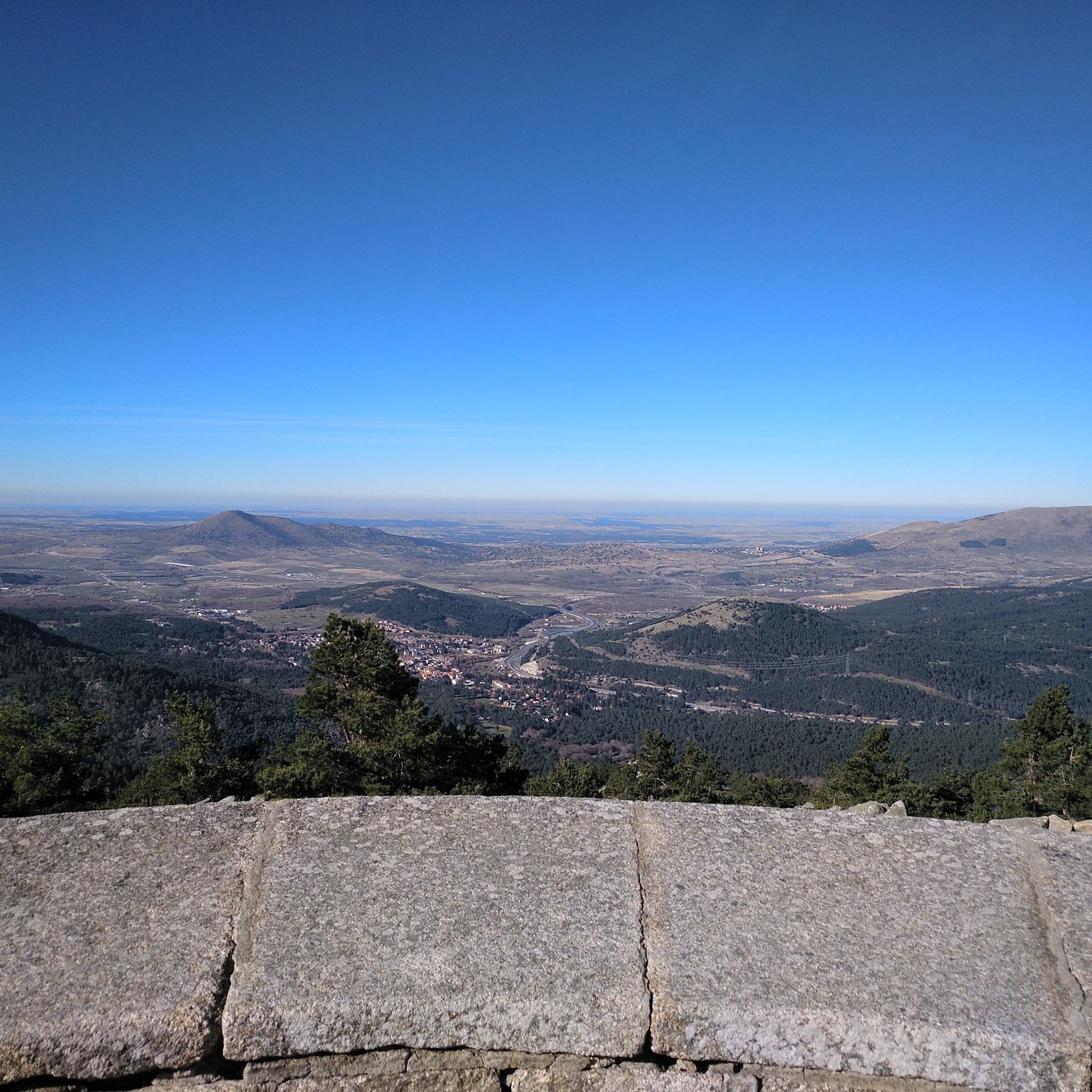
Beautiful viewpoint with views of the Santillana reservoir before descending to Manzanares.
0
0

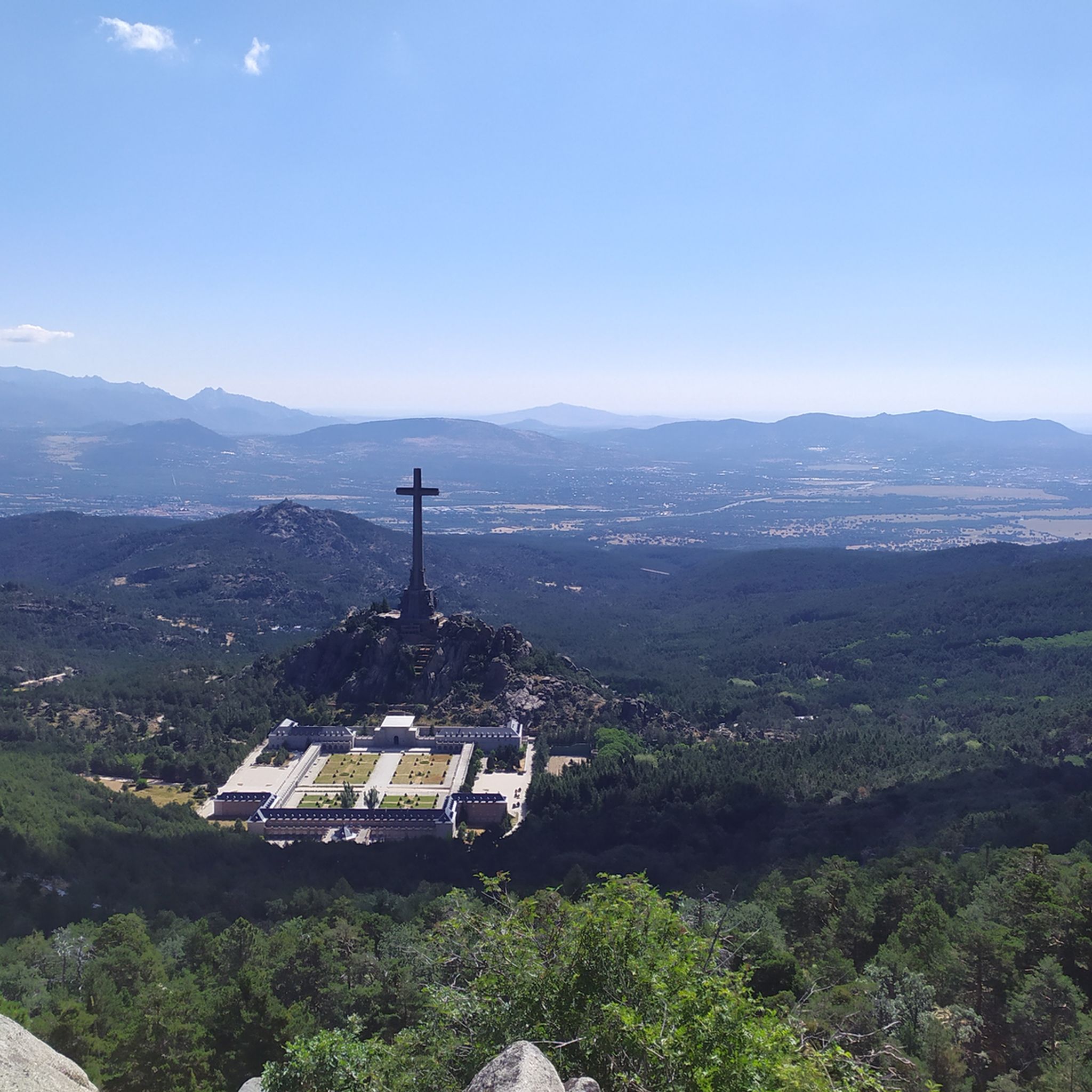
Beautiful views, with the monastery at your feet.
0
0
One of the best MTB ports in Madrid
0
0

The view of La Maliciosa from the bridge is spectacular. A short break before starting the climb to Alto del Enebrillo.
0
0
Reservoir located in the beautiful town of Manzanares el Real.
0
0

Paths and cattle trails very suitable for cycling.
0
0
Paths and cattle trails very suitable for bike rides.
0
0
Frequently Asked Questions
How many gravel bike trails are available in Peguerinos?
Peguerinos offers a diverse network of over 15 gravel bike trails, ranging from moderate to difficult, perfect for exploring the varied landscapes of the Sierra de Guadarrama National Park.
What kind of terrain can I expect on gravel bike trails around Peguerinos?
You can expect a mix of terrain, from extensive pine forest tracks to more rugged mountainous sections with granite formations. The region's altitude means many routes feature significant elevation changes, offering both challenging climbs and rewarding descents.
Are there any easy gravel bike trails suitable for beginners or families in Peguerinos?
While many routes in Peguerinos are moderate to difficult, there are options for those seeking a less strenuous ride. For example, the area features trails with gentler gradients, often found around the serene reservoirs, providing a more accessible experience for beginners or families.
What are some scenic highlights or natural attractions I can see along the gravel routes?
The gravel routes in Peguerinos often pass by stunning natural features. You can ride alongside tranquil water bodies like La Aceña Reservoir and Cañada Mojada Reservoir, or through vast pine forests. Some trails offer panoramic views of the Sierra de Guadarrama and lead to points of interest such as the Seat of Philip II or the beautiful Hornillo Waterfall.
Are there any circular gravel bike routes in Peguerinos?
Yes, many of the gravel bike trails in Peguerinos are designed as loops, allowing you to start and finish at the same point. A popular example is the Valmayor Reservoir – The Seven Gates loop from El Escorial, which offers scenic sections around the Valmayor Reservoir.
What is the best time of year to go gravel biking in Peguerinos?
The mountain climate of Peguerinos provides mild summers, which are ideal for gravel biking. While winters bring snow, transforming the scenery into a 'white canvas,' spring and autumn also offer pleasant conditions with vibrant foliage or blooming landscapes.
What do other gravel bikers enjoy most about the trails in Peguerinos?
The komoot community highly rates the gravel biking experience in Peguerinos, with an average score of 4.5 stars. Riders often praise the diverse landscapes, from pine forests to reservoirs, and the challenging yet rewarding mountainous terrain that offers spectacular views.
Are there any challenging gravel routes for experienced riders?
Absolutely. Peguerinos is known for its demanding gravel rides, some requiring very good fitness and advanced riding skills due to significant elevation gains and technical sections. An example of a challenging route is the Santillana Reservoir Bridge – Santillana Reservoir loop from Guadarrama, which features varied terrain and a considerable distance.
Can I expect to see wildlife while gravel biking in Peguerinos?
Given its location within the Sierra de Guadarrama National Park and its vast pine forests, Peguerinos is rich in biodiversity. While specific sightings are never guaranteed, you have a good chance of encountering local wildlife, especially in quieter sections of the trails.
What are the typical elevation changes on gravel routes in Peguerinos?
Due to the region's mountainous terrain, gravel routes in Peguerinos often feature significant elevation changes. For instance, the Navacerrada Reservoir – Path through pine forests loop from Guadarrama includes nearly 500 meters of ascent and descent, providing a good workout for riders.
Are there any routes that pass by mountain passes or summits?
Yes, some routes venture into higher mountainous areas, offering access to mountain passes and summits with incredible views. For example, the Puerto de Malagón – Abantos Summit Sign loop from Hospital de El Escorial takes you through areas with substantial climbs towards notable points like Puerto de Malagón and Mount Abantos.
Most popular routes around Peguerinos
Most popular attractions around Peguerinos

Get inspired with the komoot mobile app


Explore more
Browse the best Gravel rides in other regions.
