The best MTB trails around Peguerinos
4.6
(301)
3,417
riders
12
rides
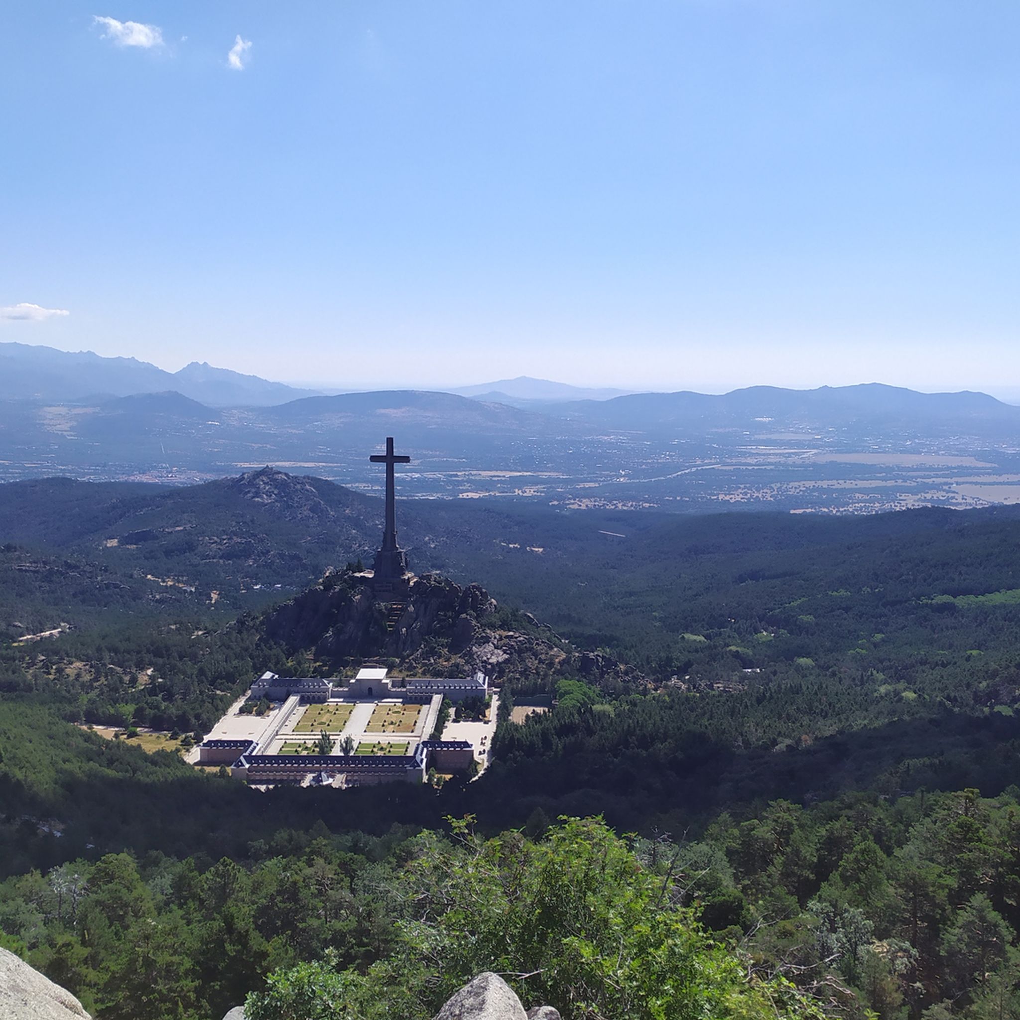
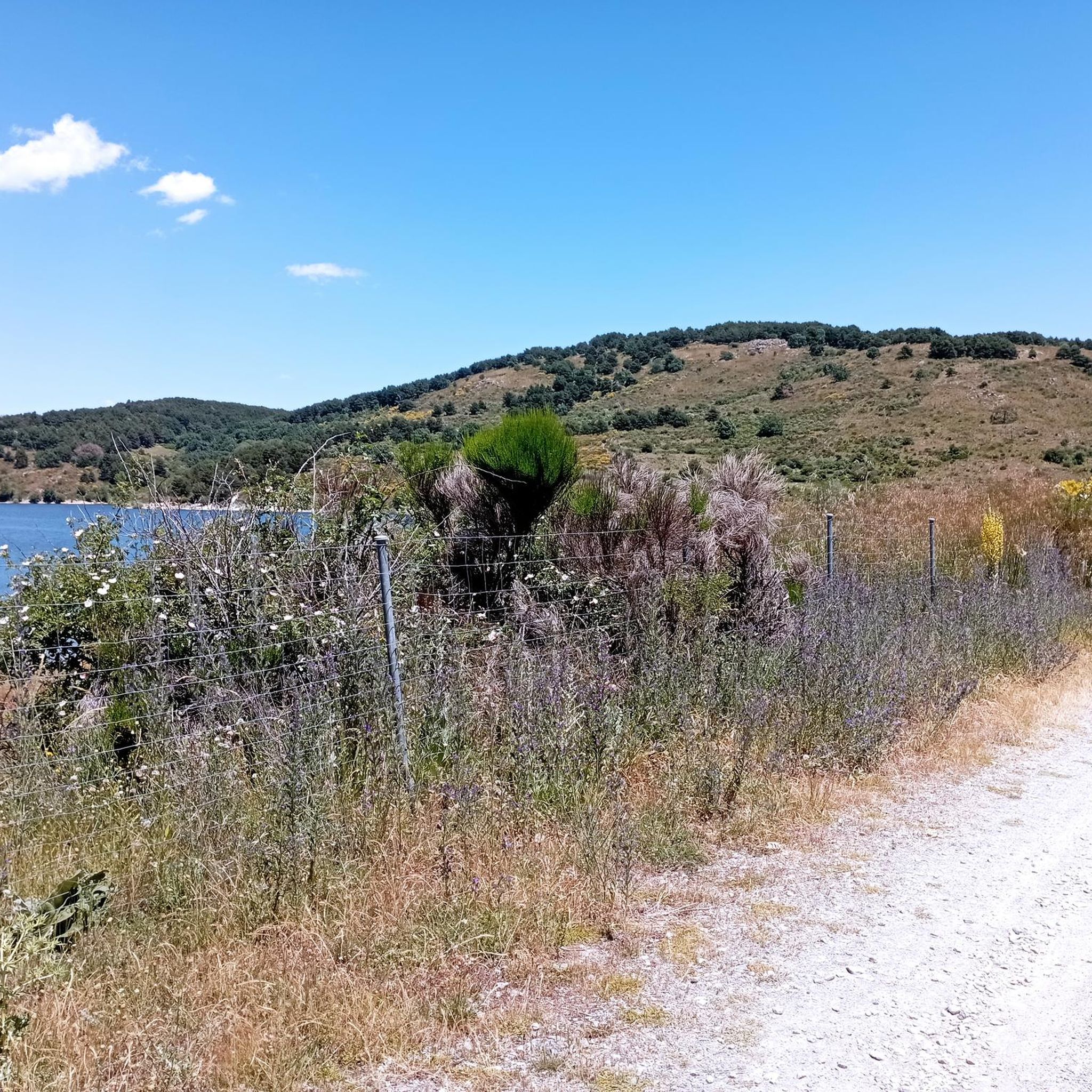
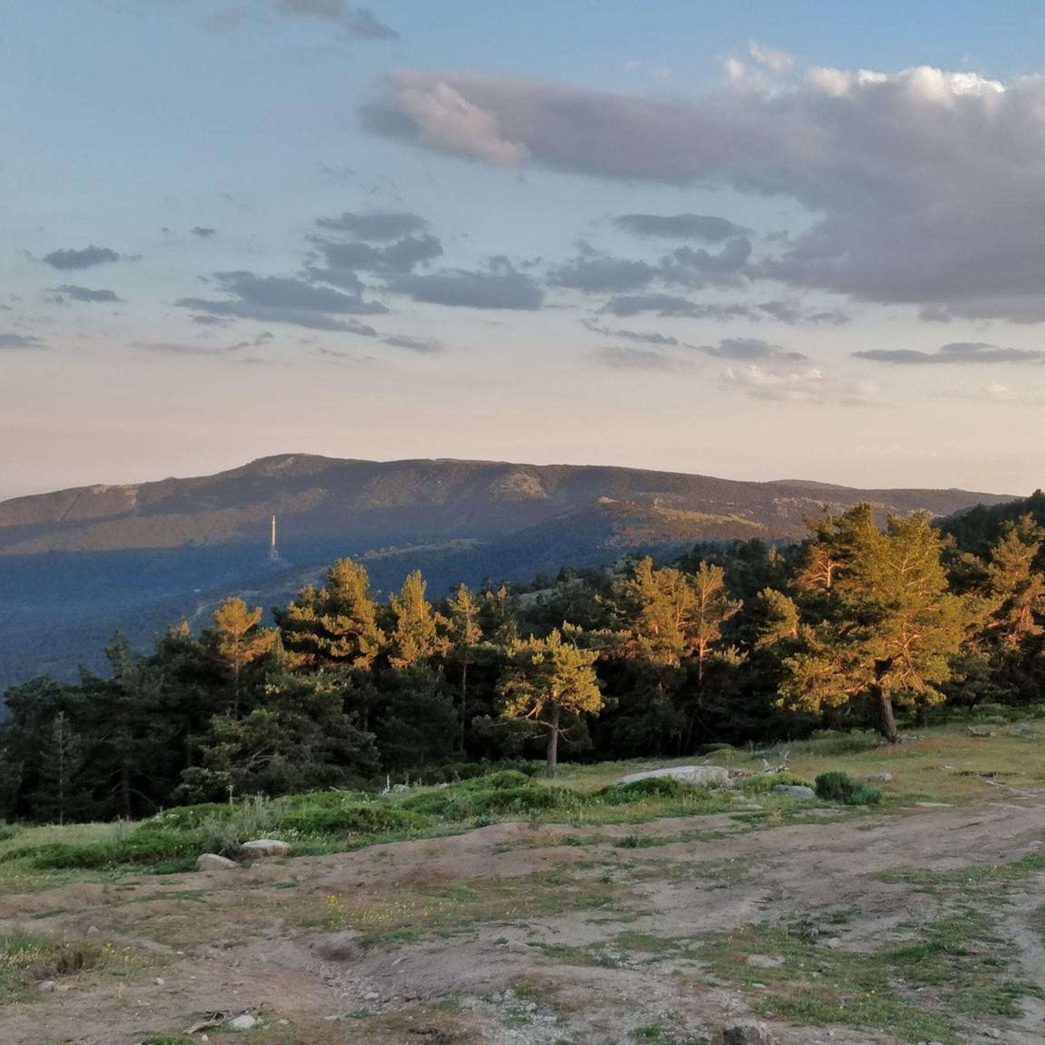
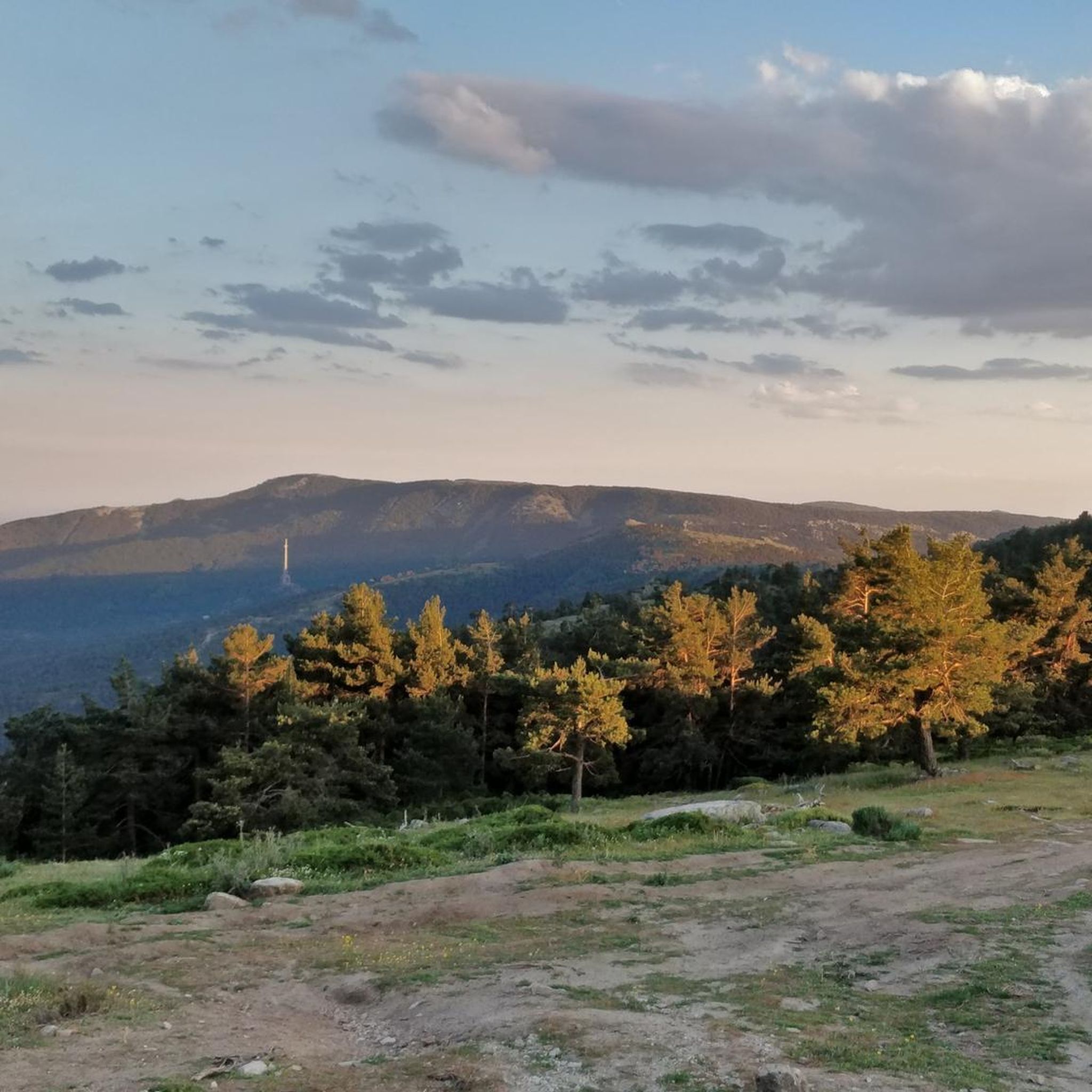
Mountain biking around Peguerinos offers routes within the Sierra de Guadarrama, characterized by vast pine and oak forests, streams, and rivers. The region features an altitude over 1,300 meters, contributing to a distinct mountain climate. Key natural attractions include the Embalse de Cañada Mojada and Embalse de la Aceña reservoirs, along with prominent granite formations like Peña de Cenicientos. This diverse landscape provides a network of trails suitable for mountain biking.
Best mountain bike trails around Peguerinos
- The most popular…
Last updated: May 10, 2026
5.0
(1)
6
riders
30.6km
02:49
560m
560m
Hard mountain bike ride. Good fitness required. Advanced riding skills necessary. Some portions of the route may require you to push your bike.
4.2
(5)
135
riders
Hard mountain bike ride. Good fitness required. Advanced riding skills necessary. Some portions of the route may require you to push your bike.

Sign up for free
4.8
(9)
120
riders
34.9km
03:17
900m
900m
Hard mountain bike ride. Very good fitness required. Advanced riding skills necessary.
13
riders
21.0km
01:27
260m
260m
Easy mountain bike ride. Great for any fitness level. Suitable for all skill levels.
11
riders
36.0km
03:14
600m
600m
Hard mountain bike ride. Good fitness required. Advanced riding skills necessary. Some portions of the route may require you to push your bike.
Get access to more routes and recommendations from other explorers.
Sign up for free
Already have an account?
Our route recommendations are based on thousands of hikes, rides, and runs completed by other people on komoot.
Start today with a free account
Your next adventure awaits.
Login or Signup


Other adventures around Peguerinos

Tips from the Community

Precious and mythical trail in the Sierra de Guadarrama. It has everything: stones, roots, clean trail with flow, steps, etc.
0
0
Spectacular viewpoint in the middle of the Sierra de Guadarrama above El Espinar. The Senda de la Peña del Águila trail begins on the outskirts of the town of San Rafael, in Segovia. It is about 6 km in which we will venture into the beautiful pine forests of the area until we reach the viewpoint.
0
0
A high stone wall near the La Nava de Peguerinos campsite. I don't understand what this wall is for because the path on the other side is public. The path leads to Collado de la Gargantilla or Cueva Valiente. You can jump over it on a bike with help. It's perhaps more complicated if you're traveling alone. The fence is locked with a chain.
1
0
A small reservoir located above the Aceña reservoir, about 250 m higher in the Sierra de Malagón. From this reservoir, you can access the Valiente Cave.
0
0
At this crossroads you will have some beautiful views of Peñas Blancas.
0
0

Track to Las Zetas closed due to fallen trees (04/24/25)
1
0
Nice climb along a forest track from the Aceña reservoir to the Casa de la Cueva.
0
0
Hostel 8 km from the town of Peguerinos (Avila) and 14 km from El Escorial and Alto de los Leones. In a beautiful spot in the Sierra de Guadarrama.
0
0
Frequently Asked Questions
What kind of terrain can I expect on mountain bike trails around Peguerinos?
The mountain bike trails in Peguerinos are primarily located within the Sierra de Guadarrama, featuring vast pine and oak forests, streams, and rivers. You'll encounter a mountainous environment with an altitude over 1,300 meters, offering varied terrain. Some routes circle reservoirs like the Embalse de Cañada Mojada and Embalse de la Aceña, while others lead to prominent granite formations such as Peña de Cenicientos.
How many mountain bike trails are available in Peguerinos?
There are over 10 mountain bike trails around Peguerinos listed on komoot, catering to various skill levels. This includes 2 easy, 2 moderate, and 8 difficult routes, ensuring options for different experiences.
Are there any easy or family-friendly mountain bike trails in Peguerinos?
Yes, Peguerinos offers easy routes suitable for families or beginners. For instance, the Embalse de la Aceña Viewpoint – Casa de la Cueva Refuge loop from Peguerinos is an easy 21 km trail that takes around 1 hour 27 minutes to complete, offering a pleasant ride through the natural surroundings.
What are some notable landmarks or viewpoints I can see while mountain biking in Peguerinos?
The region is rich in scenic spots. You can encounter several mountain passes like Puerto de Malagón and Alto del León. There are also huts and shelters such as Refugio de la Salamanca and Cueva Valiente Shelter. Many routes offer panoramic views, including the Peña del Águila Viewpoint – Collado del Hornillo loop, which provides spectacular vistas of the Sierra de Guadarrama.
What do other mountain bikers enjoy most about the trails in Peguerinos?
The trails in Peguerinos are highly rated by the komoot community, with an average score of 4.6 stars from over 290 reviews. Mountain bikers often praise the diverse terrain, the stunning pine and oak forests, and the scenic reservoirs. The extensive trail network offers options for various skill levels, making it a popular destination for over 3500 komoot users.
Is Peguerinos suitable for mountain biking with dogs?
While there are no specific dog-friendly trail designations, the natural environment of Peguerinos, with its extensive forests and open trails, is generally welcoming for dogs. Always ensure your dog is well-behaved, kept under control, and that you follow local regulations regarding pets in natural parks or protected areas. Remember to carry water for your dog, especially on longer rides.
Are there any circular mountain bike routes in Peguerinos?
Yes, many of the mountain bike routes in Peguerinos are circular, allowing you to start and end at the same point. Examples include the popular La Aceña Reservoir Loop from Peguerinos and the Abantos Summit Sign – Puerto de Malagón loop from Peguerinos, both offering comprehensive tours of the area's landscapes.
What is the best time of year to go mountain biking in Peguerinos?
Peguerinos experiences a distinct mountain climate due to its altitude. Summers are mild, making it an excellent time for mountain biking. Winters can bring snow, transforming the landscape but potentially making some trails more challenging or inaccessible. Spring and autumn offer pleasant temperatures and beautiful scenery, making them ideal seasons for exploring the trails.
Where can I find parking for mountain biking in Peguerinos?
While specific parking areas for each trailhead are not detailed, Peguerinos is a municipality with various access points to the Sierra de Guadarrama. You can typically find parking in or around the village center, or at designated recreational areas like Zona recreativa Área de La Nava, which serves as a starting point for routes such as the Peña del Águila Viewpoint – Collado del Hornillo loop.
Are there any mountain bike routes that pass by reservoirs or lakes?
Absolutely. The region is known for its reservoirs. The La Aceña Reservoir Loop from Peguerinos is a prominent example, circling the Embalse de la Aceña and passing through beautiful pine forests. The Embalse de Cañada Mojada is another key natural attraction in the area, often featured in local routes.
What is the longest mountain bike trail in Peguerinos?
Among the listed routes, the Views of Peña Blanca – Casa de la Cueva Refuge loop from Peguerinos is one of the longest, covering approximately 36 km. This difficult route offers significant elevation changes and takes around 3 hours 19 minutes to complete, providing an extensive exploration of the area.
Most popular routes around Peguerinos
Most popular attractions around Peguerinos

Get inspired with the komoot mobile app


Explore more
Browse the best MTB trails in other regions.
