The best walks and hikes around Jugenheim in Rheinhessen
4.6
(5963)
25,429
hikers
13
hikes
Hiking around Jugenheim in Rheinhessen offers diverse landscapes characterized by rolling hills, extensive vineyards, and green meadows. The region features forests and the Selz river valley, providing varied terrain for outdoor activities. Elevated areas often present panoramic views over the Rhine Valley, extending towards the Odenwald and Donnersberg on clear days. This combination of natural features makes the area suitable for a range of hiking experiences.
Best hiking trails around Jugenheim in Rheinhessen
- The most popular hiking route is Rest…
Last updated: May 20, 2026
4.3
(15)
42
hikers
Moderate hike. Good fitness required. Easily-accessible paths. Suitable for all skill levels.
5.0
(3)
42
hikers
Easy hike. Great for any fitness level. Easily-accessible paths. Suitable for all skill levels.

Sign up for free
4.7
(3)
8
hikers
11.9km
03:15
190m
190m
Moderate hike. Good fitness required. Easily-accessible paths. Suitable for all skill levels.
4.0
(1)
15
hikers
Moderate hike. Good fitness required. Easily-accessible paths. Suitable for all skill levels.
12
hikers
Easy hike. Great for any fitness level. Easily-accessible paths. Suitable for all skill levels.
Get access to more routes and recommendations from other explorers.
Sign up for free
Already have an account?
Our route recommendations are based on thousands of hikes, rides, and runs completed by other people on komoot.
Start today with a free account
Your next adventure awaits.
Login or Signup
Tips from the Community

invites for a short break
0
0

The legendary Cologne singer-songwriter Ludwig Sebus (born 1925) recently took up his pen again, shortly before his 100th birthday, and wrote a peace song, "Die wiesse Duuv" (The White Dove). The refrain goes: "For peace is far superior to hate; we will never give up our freedom in life." "Die wiesse Duuv weed immer hüher fleeje un selvs brunge kömen do nit hingerher Denn Fridde es däm Hass huh övverläje uns Freiheit jevve mer em Levve nie mieh her" Those who don't mind the Rhineland dialect can listen to the song on YouTube: https://www.youtube.com/watch?v=dbgkPFGL38U
0
0

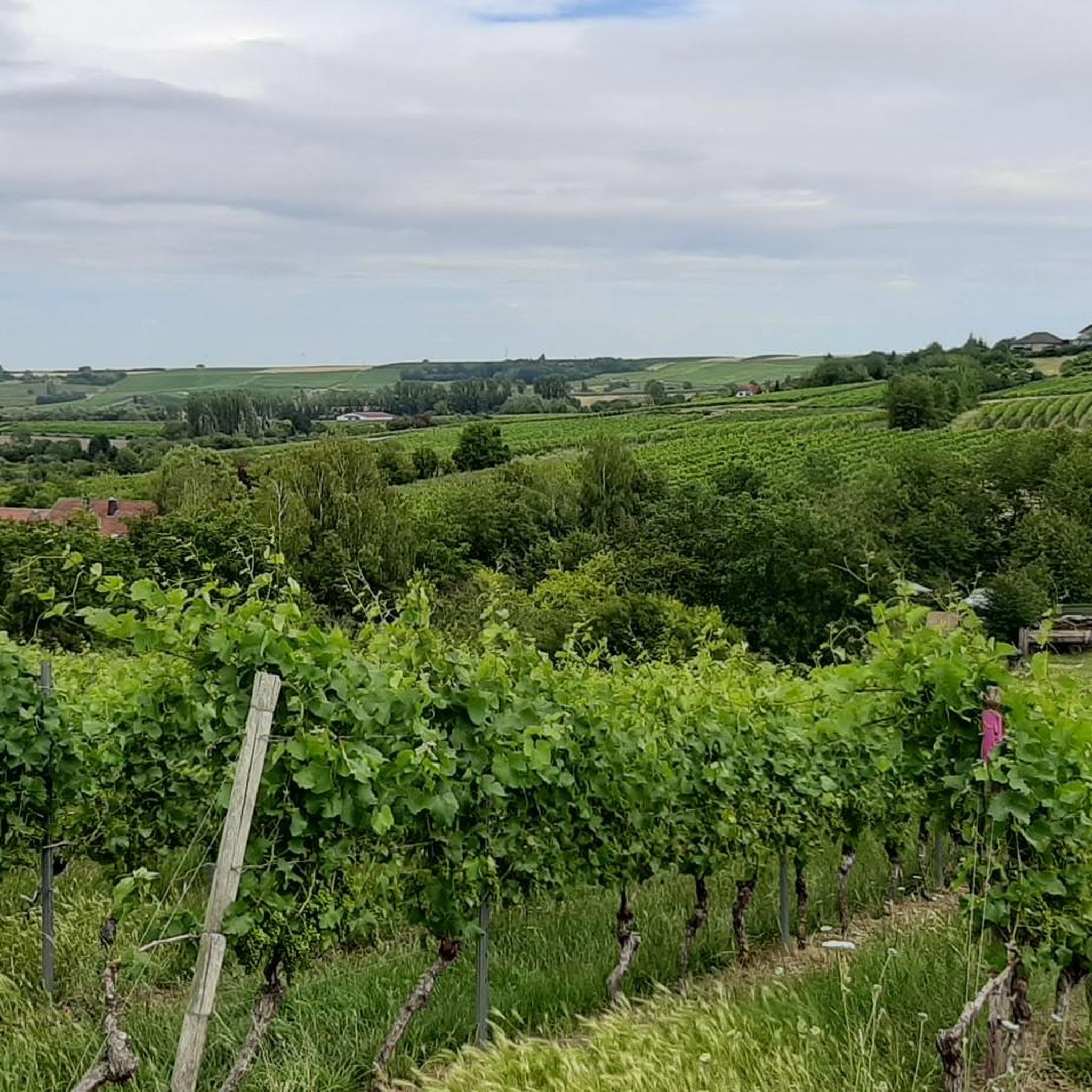
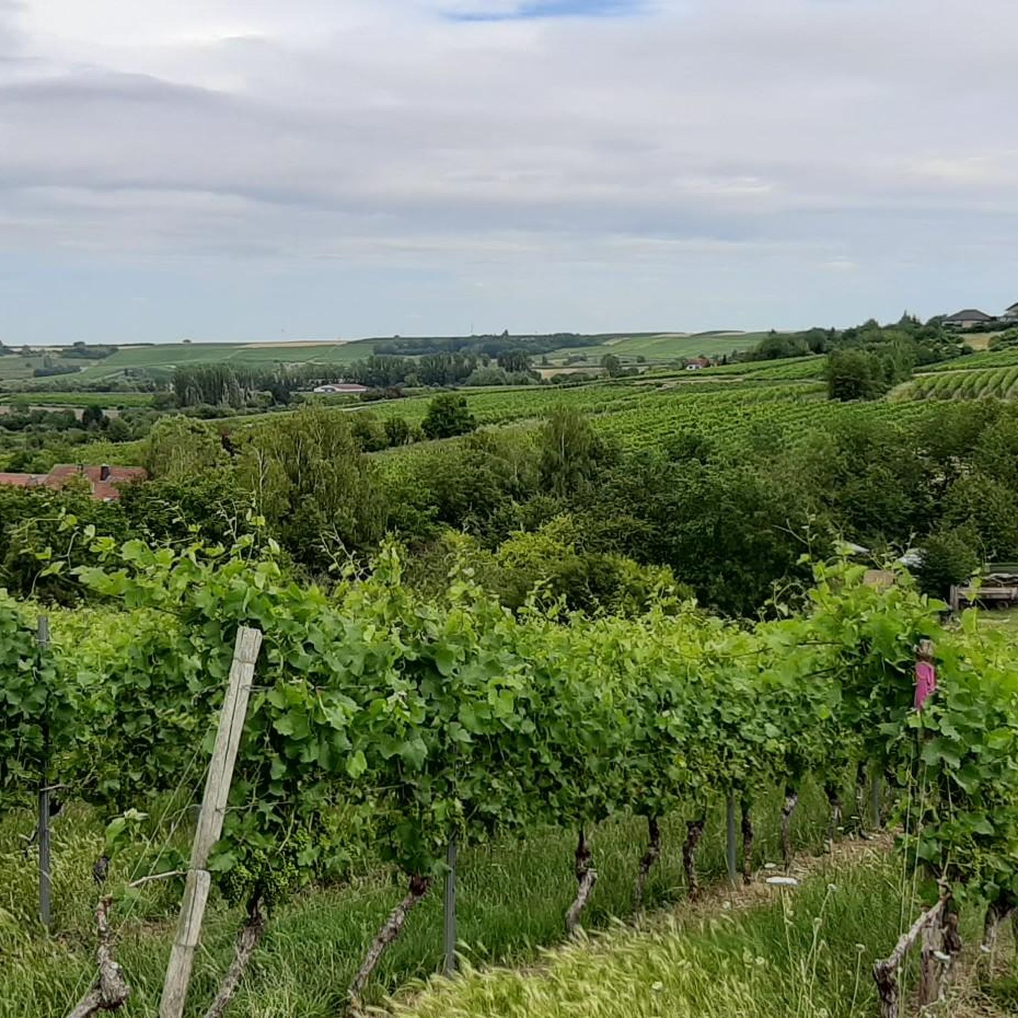
This is a wonderfully designed rest stop with a beautiful view, definitely invites you to enjoy a glass of cool wine ("take a hiking glass with you")
0
0

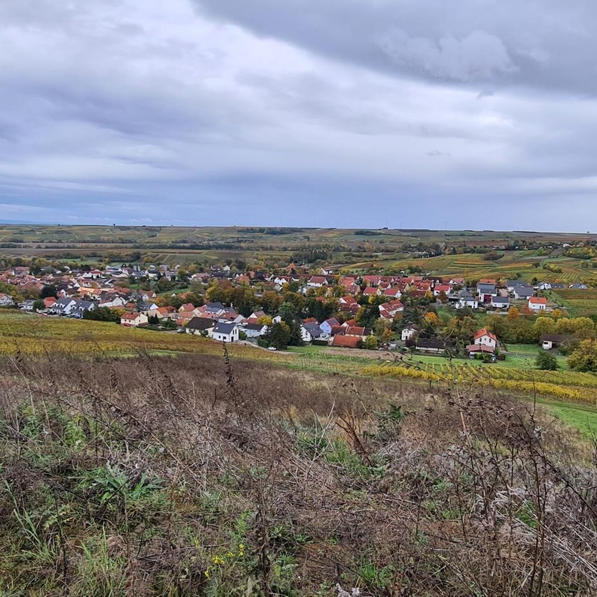
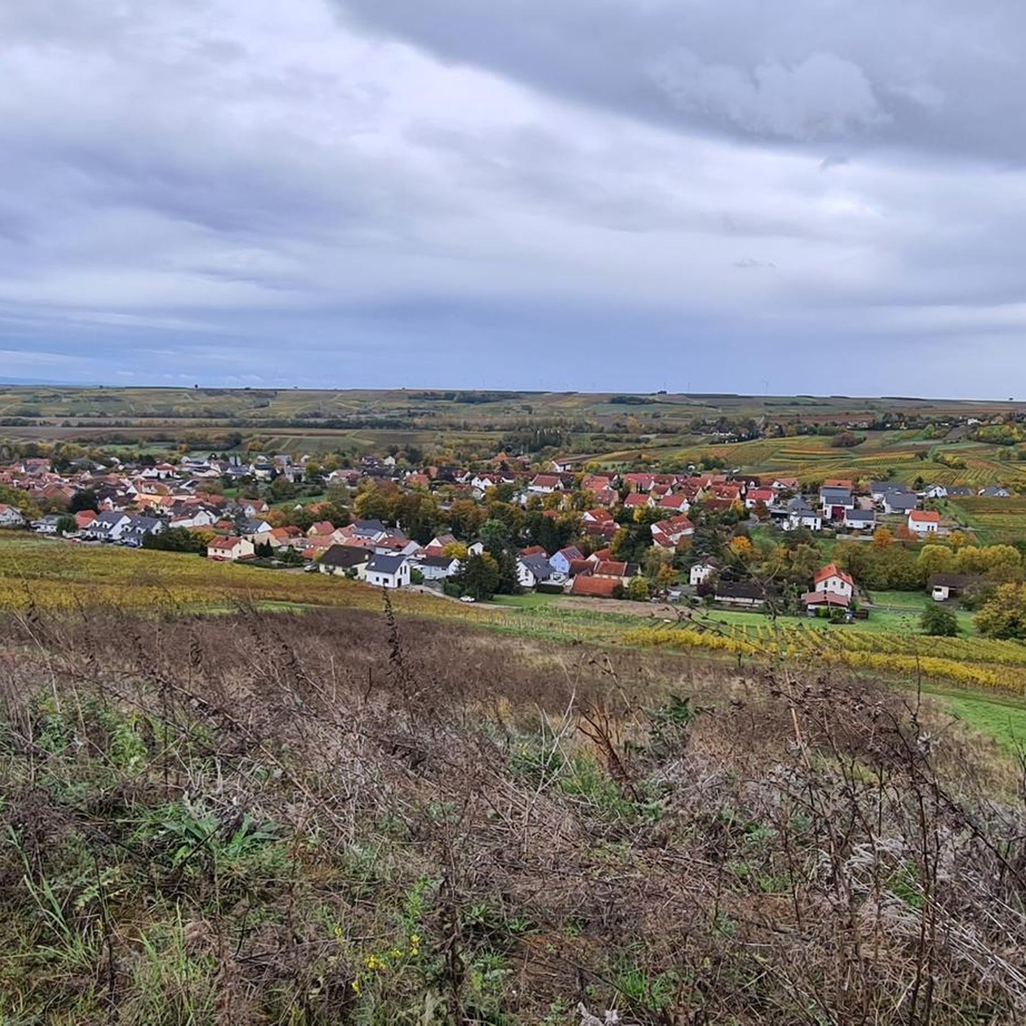
The Selztal Terroir Trails are easy, one- to two-hour hikes through the vineyards and lowlands of the Middle Selz Valley, offering a fascinating glimpse into the origins of the wines and the diverse terroir in which the vines grow. One of the terroir trails, marked "STR1," begins directly in Jugenheim at the market square and leads you along the Jugenheim Goldberg hill for 7.8 km, from where you can enjoy a magnificent view of the Selz Valley stretching to the Taunus mountain range. Further information, including details on the other terroir trails, can be found on the Rheinhessen Tourism Association website. Enhance your hike with a visit to one of Jugenheim's restaurants or a wine tasting at a local winery. Directions by car: Parking lot at the sports and community hall. GPS address: Schulstraße 13, 55270 Jugenheim
1
0
A bench with a small table and a great view among the vineyards,
1
0
And above all, there is also a comfortable vineyard lounger here.
1
0
The ruins of the Eleven Thousand Maidens Tower (also known as the Eleven Thousand Maidens Mill) in the Elsheim district owe their name to a legend surrounding Saint Ursula of Cologne. This late medieval road barrier stood at the crossing of the Selz River on the old road from Mainz to Kreuznach (west of the village). Saint Ursula is said to have used this road with her retinue of 11,000 virgins on their way to Rome – hence the name "Eleven Thousand Maidens Tower." The tower was originally a fortified gatehouse with a bridge. The course of the Selz River was altered in the 1960s, so the bridge no longer spans the river.
1
0
Frequently Asked Questions
What kind of landscape can I expect when hiking around Jugenheim in Rheinhessen?
Jugenheim in Rheinhessen is characterized by its hilly landscape, extensive vineyards, and green meadows. You'll find paths winding through forests and along the Selz river valley. The elevated areas frequently offer breathtaking panoramic views over the Rhine Valley, often reaching as far as the Odenwald and Donnersberg on clear days.
Are there many hiking trails available in Jugenheim in Rheinhessen?
Yes, there are over a dozen hiking routes in Jugenheim in Rheinhessen. The komoot community has recorded 13 tours, with 8 categorized as easy and 5 as moderate, ensuring options for various fitness levels.
What do other hikers enjoy most about the trails in Jugenheim in Rheinhessen?
The trails in Jugenheim in Rheinhessen are highly rated by the komoot community, with an average score of 4.6 stars from over 5,600 reviews. Hikers often praise the diverse landscapes, the well-maintained paths, and the stunning panoramic views over the vineyards and the Rhine Valley.
Are there any easy hiking trails suitable for a relaxed walk?
Absolutely. For an easy and scenic walk, consider the Table of Wine – Winzerruh Rest Area loop from Jugenheim in Rheinhessen. This 4.2 km (2.6 miles) route is easy and features the "Table of Wine" picnic spot, offering expansive views over the vineyards. Another easy option is the Jugenheim Peace Cross – Winzerruh Rest Area loop from Jugenheim in Rheinhessen, which is 3.8 km (2.4 miles) long.
Are there any circular hiking trails in the area?
Yes, many trails in the region are circular, including the popular Hiwweltours. For example, the Rest Area at Partenheimer Bach – Natural Area Near Partenheim loop from Jugenheim in Rheinhessen is a moderate 10.1 km (6.3 miles) circular route that explores natural areas and local streams.
What are some notable natural features or viewpoints I can discover on a hike?
The region is rich in natural beauty and viewpoints. You can find unique areas like Rheinhessen's only heath landscape on the Hiwweltour Heideblick, or explore pine forests on the Hiwweltour Eichelberg. The "Goldberg" near Jugenheim is known for excellent views. You can also visit the Wine Table at Hundertgulden or the Zornheim Ruhkreuz for panoramic vistas.
Are there any historical or cultural landmarks along the hiking routes?
Yes, some trails blend nature with culture and history. For instance, the Hiwweltour Westerberg passes by the Selz river, meadows, vineyards, and Westerhaus Castle. You can also find highlights such as the Bismarck Tower, Ingelheim am Rhein, or the Burgkirche and Fortifications of Ober-Ingelheim nearby.
What is the best time of year to go hiking in Jugenheim in Rheinhessen?
Jugenheim in Rheinhessen is beautiful year-round, but spring and autumn are particularly popular. In spring, the vineyards burst into green, and wildflowers bloom. Autumn offers stunning colors as the leaves change and is also harvest season, providing opportunities to experience local wine culture. Summer is also pleasant, especially for early morning or late afternoon hikes.
Are there any longer, more challenging routes for experienced hikers?
While there are no 'difficult' rated trails, several moderate routes offer a good challenge. The Winzerruh Rest Area – Babo Hut loop from Jugenheim in Rheinhessen is a moderate 12.1 km (7.5 miles) trail with more elevation gain, typically taking over 3 hours to complete. Another moderate option is the Jewish Cemetery of Jugenheim – Rest Area at Partenheimer Bach loop from Jugenheim in Rheinhessen, covering 9.1 km (5.7 miles).
Can I combine hiking with wine tasting or local culinary experiences?
Absolutely. The region is renowned for its wine culture, and many trails are designed to incorporate the wine experience. You'll find numerous well-maintained vineyard huts and designated picnic spots along the routes, such as the "Table of Wine" on the Jugenheim Goldberg, perfect for a break with sweeping vistas and enjoying local wines.
Is there public transport access to the hiking trails?
While specific public transport details for each trailhead are not provided, Jugenheim in Rheinhessen is generally accessible by public transport within the Rhein-Main-Verkehrsverbund (RMV) network. It's advisable to check local bus schedules to plan your access to specific starting points for the trails.
Are there any nature reserves or protected areas to explore?
Yes, the region includes natural areas such as the Gartenwiese Nature Reserve on the Selz. These areas offer opportunities to experience the local flora and fauna in a protected environment, often with paths running through them.
Most popular routes around Jugenheim in Rheinhessen
Most popular attractions around Jugenheim in Rheinhessen

Get inspired with the komoot mobile app


Explore more
Browse the best Hikes in other regions.
