The best gravel rides around San Romano In Garfagnana
4.9
(10)
101
riders
12
rides
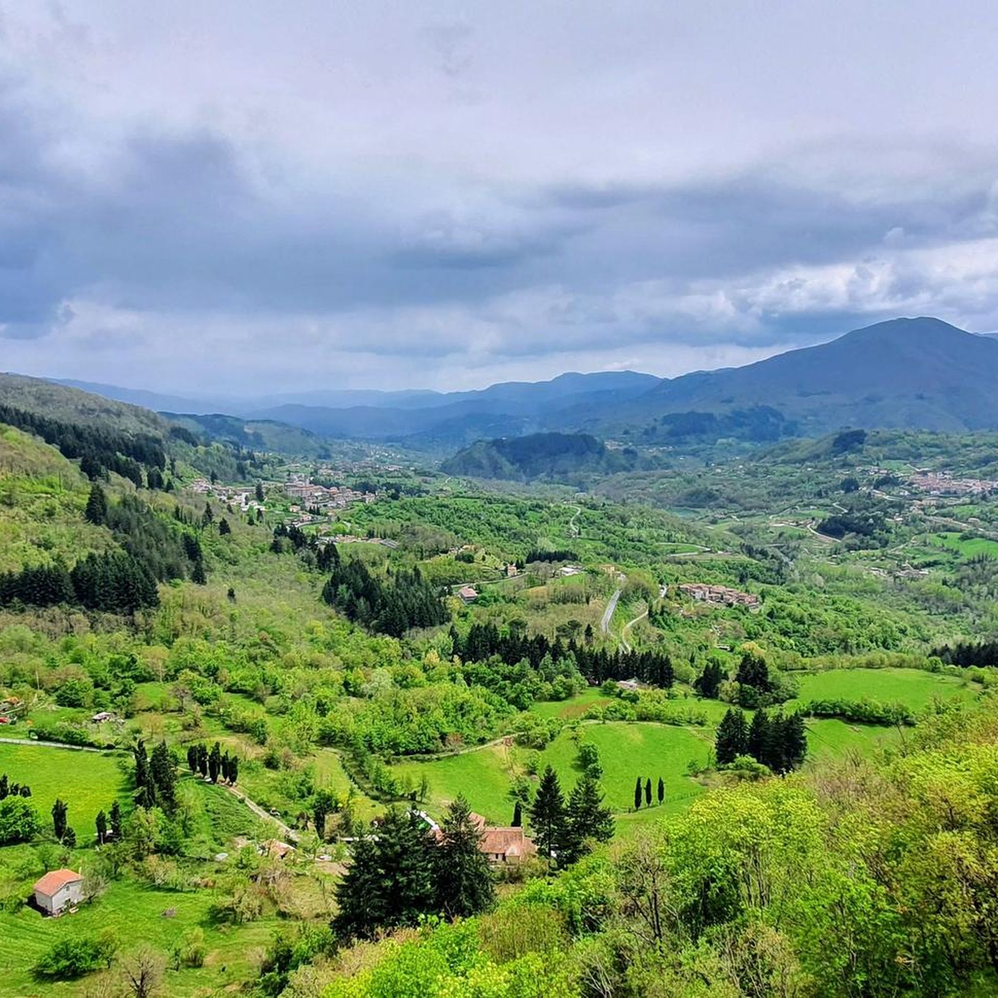
Gravel biking around San Romano In Garfagnana offers diverse terrain situated between the Apennine Mountains and the Apuan Alps. The region features extensive forests, including beech and chestnut woods, alongside the Serchio River valley. A network of dirt roads and secondary paths provides varied routes for gravel cyclists, combining challenging climbs with unpaved surfaces.
Best gravel bike trails around San Romano In Garfagnana
- The most popular gravel bike trail is Ridella Biodiversity Garden – Sella di Campaiana loop from Castelnuovo…
Last updated: November 2, 2026
4.5
(4)
37
riders
71.3km
05:53
1,930m
1,930m
Hard gravel ride. Very good fitness required. Mostly paved surfaces.
5.0
(2)
25
riders
52.8km
04:17
1,580m
1,570m
Hard gravel ride. Very good fitness required. Mostly paved surfaces.

5.0
(1)
7
riders
31.3km
02:43
900m
900m
Hard gravel ride. Very good fitness required. Mostly paved surfaces.
6
riders
29.2km
02:25
950m
960m
Hard gravel ride. Very good fitness required. Mostly paved surfaces.
5.0
(1)
7
riders
51.4km
04:03
1,260m
1,260m
Hard gravel ride. Very good fitness required. Mostly paved surfaces.
Get access to more routes and recommendations from other explorers.
Already have an account?
Our route recommendations are based on thousands of hikes, rides, and runs completed by other people on komoot.
Start today with a free account
Your next adventure awaits.
Popular around San Romano In Garfagnana

Tips from the Community

The Passo di Lama Lite is a very important hiking junction and mountain pass located at an altitude of 1,749 meters in the Alto Appennino Reggiano, right on the border with Tuscany. It is situated at the foot of Monte Prado and Monte Cusna, within the Tuscan-Emilian Apennine National Park.
0
0

rifugio Bargettana with its raspberry valley
0
0
In this period the lake is at maximum capacity and offers stunning panoramas in the sunlight
0
0

The Rifugio Bargetana is an alpine structure located at 1,740 meters above sea level in the upper Val d'Ozola, in the heart of the Tuscan-Emilian Apennine National Park at the foot of Monte Prado. It is family-run and is about a 15-minute walk from the homonymous glacial lake of Bargetana.
0
0
The Passo di Lama Lite is a very important mountain pass located at an altitude of 1,749 meters in the Alto Appennino Reggiano, on the border between Emilia-Romagna and Tuscany. It is located in the heart of the Tuscan-Emilian Apennine National Park. This pass serves as a fundamental watershed between the valley of the Dolo stream and the valley of the Ozola stream, positioned at the foot of the Monte Prado massif and offering a splendid view of Monte Cusna.
0
0
The Oasis of Campocatino is a mountain locality in the Apuan Alps, in the municipality of Vagli di Sotto, located at 1000 m above sea level, beneath the imposing wall of Monte Roccandagia. It includes a large basin of glacial origin, a testament to the extent of Quaternary glaciation in the Apennine area. Inside, we find the typical pastoral buildings called "caselli," which have been preserved with their ancient construction characteristics. Since 1991, it has become a "LIPU Natural Oasis." The coexistence of different environments and the natural integrity of the area have allowed the acclimatization of various bird species that reproduce there. Along the rocky walls, the Alpine chough and the Wallcreeper nest; in the high-altitude meadows and pastures, the Skylark, the Rufous-tailed Rock Thrush, the Wheatear, and the Greater Short-toed Lark are observed, while the woods below are populated by the Blackcap, the Goldfinch, the Chaffinch, the Brambling, the Firecrest, the Dartford Warbler, the Robin, the Eurasian Nuthatch, the Song Thrush, the Mistle Thrush, the Wren, and four species of tits: Great Tit, Blue Tit, Coal Tit, and Marsh Tit. Biodiversity is also present among the birds of prey that inhabit the area: the Tawny Owl, the Kestrel, the Eagle Owl, the Common Buzzard, the Sparrowhawk, and sometimes the Eagle soars over the area in search of prey. A little curiosity: in 1998 Campocatino was the film set for the movie "il mio west" directed by Giovanni Veronesi, starring Leonardo Pieraccioni, Harvey Keitel, David Bowie, and Alessia Marcuzzi. In memory of David Bowie's presence, a statue has been placed near the stone houses to commemorate his time there.
0
0

Currently closed due to construction work
0
0
panoramic point
0
0
Frequently Asked Questions
How many gravel bike trails are available around San Romano In Garfagnana?
There are over a dozen gravel bike trails around San Romano In Garfagnana listed on komoot, offering diverse terrain. Most of these routes are considered difficult due to significant elevation changes, traversing the Apennine Mountains and Apuan Alps.
What kind of terrain can I expect on gravel bike trails in this region?
The region offers a varied landscape for gravel biking, ranging from the dramatic peaks of the Apuan Alps to the gentler slopes of the Apennine Mountains. You'll find routes through extensive forests, including shady beech and chestnut woods, along the Serchio River valley, and past serene lakes like Gramolazzo and Vagli. The trails often combine asphalt with dirt roads and secondary paths.
Are there any family-friendly gravel bike trails in San Romano In Garfagnana?
While many routes in the region feature challenging climbs and are rated as difficult, the Lake Gramolazzo – Lake Gramolazzo loop from Piazza al Serchio offers a scenic experience around the lake, which might be more suitable for families looking for a less strenuous option, though it is still rated difficult due to its length and elevation.
What are some scenic viewpoints or natural attractions I can see along the gravel bike routes?
Many routes offer breathtaking panoramic views of the Apuan Alps and Apennine Mountains. You can pass by picturesque lakes such as Lake Gramolazzo and Lake Vagli. Some trails also lead through protected natural areas like the Orecchiella Natural Park. For specific points of interest, consider routes that pass near highlights like Mount Prado or the Summit of Monte Pisanino.
Are there any circular gravel bike routes available?
Yes, many of the gravel bike trails in the region are designed as loops. For example, the Ridella Biodiversity Garden – Sella di Campaiana loop from Castelnuovo Garfagnana and the Lake Vagli – Viadotto Poggio loop from Castelnuovo Garfagnana are popular circular routes that allow you to start and end in the same location.
What is the best time of year for gravel biking in San Romano In Garfagnana?
The region's lush forests, including beech and chestnut woods, offer cool, shaded routes even in summer, making it pleasant during warmer months. Autumn also provides vibrant colors. Given the mountain terrain, spring and early autumn generally offer the most comfortable temperatures and stable weather conditions for cycling.
What do other gravel bikers enjoy most about the trails in San Romano In Garfagnana?
The gravel bike trails around San Romano In Garfagnana are highly rated by the komoot community, with an average score of 5.0 stars. Reviewers often praise the diverse landscapes, the challenging climbs that reward with stunning views, and the opportunity to explore both the Apennine Mountains and the Apuan Alps.
Are there any historical sites or villages to explore along the gravel routes?
Yes, the Garfagnana region is dotted with charming medieval villages, often perched on hilltops, which make for interesting stops. The ancient "Via del Volto Santo," a historical pilgrimage route, is partially accessible to gravel bikers and leads through some of these villages. The Fortezza delle Verrucole, an imposing medieval fortress, is also a notable historical attraction in the area.
Are there any challenging gravel bike routes for experienced riders?
Absolutely. The majority of gravel routes in this area are rated as difficult, featuring significant elevation gains and technical sections. Routes like the Lama Lite Pass – Bargetana Hut loop from Casone di Profecchia and the Lama Lite Pass – Cesare Battisti Hut loop from Civago traverse mountain passes and offer demanding climbs suitable for advanced gravel bikers.
Where can I find places to rest or refuel along the trails?
The region has several huts and shelters that can serve as resting points. For instance, the Cesare Battisti Hut and Rifugio Campocatino and Stone Village are located along or near some of the gravel routes, offering opportunities for a break. Many charming medieval villages also provide options for cafes or small shops.
Are there any specific routes that highlight the natural beauty of the Apuan Alps?
The region is strategically located between the Apennine Mountains and the Apuan Alps, meaning many routes offer views of both. For a route that showcases the dramatic peaks, consider exploring trails that lead towards highlights like the Summit of Monte Pisanino, which is part of the Apuan Alps range.
Most popular routes around San Romano In Garfagnana
Most popular attractions around San Romano In Garfagnana

Get inspired with the komoot mobile app


Explore more
Browse the best Gravel rides in other regions.
