The best gravel rides in Marjal De Pego-Oliva
4.3
(15)
88
riders
3
rides
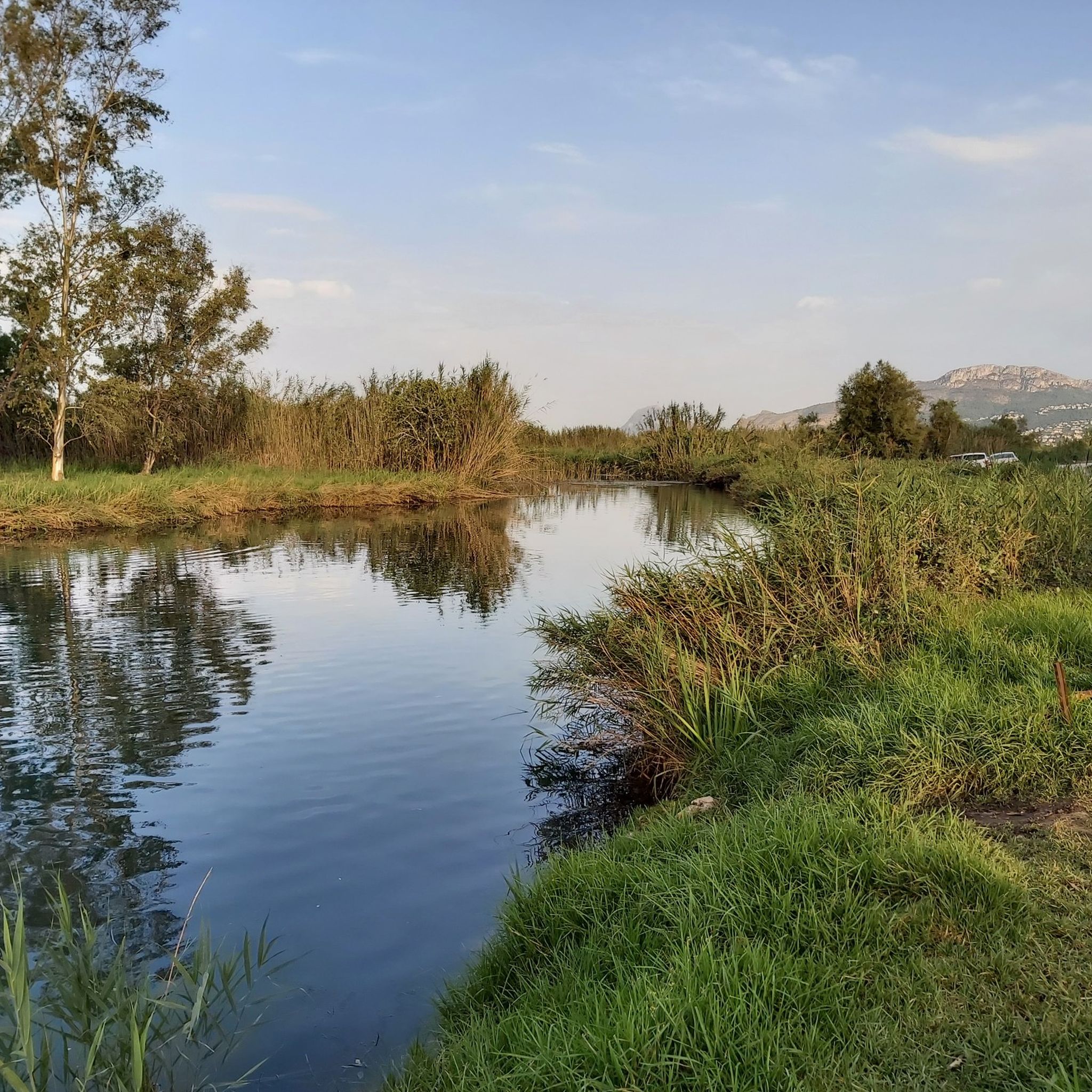
Gravel biking in Marjal de Pego-Oliva offers diverse terrain within a protected wetland and natural park. The region features extensive marshlands, rice paddies, and a network of irrigation canals, providing mostly flat paths. To the north and west, the landscape transitions to a horseshoe-shaped range of mountains, including Mostalla and Segària, which offer routes with significant elevation gains. This combination of flat wetland trails and challenging mountain ascents defines the gravel biking experience in Marjal de Pego-Oliva.
Best gravel bike…
Last updated: July 3, 2026
4
riders
Easy gravel ride. Great for any fitness level. Mostly paved surfaces. Suitable for all skill levels.
3.0
(1)
3
riders
Easy gravel ride. Great for any fitness level. Mostly paved surfaces. Suitable for all skill levels.

Sign up for free
8
riders
67.6km
04:32
1,160m
1,160m
Hard gravel ride. Very good fitness required. Mostly paved surfaces. Suitable for all skill levels.
6
riders
41.4km
02:37
100m
100m
Moderate gravel ride. Good fitness required. Mostly paved surfaces. Suitable for all skill levels.
Our route recommendations are based on thousands of hikes, rides, and runs completed by other people on komoot.
Start today with a free account
Your next adventure awaits.
Login or Signup
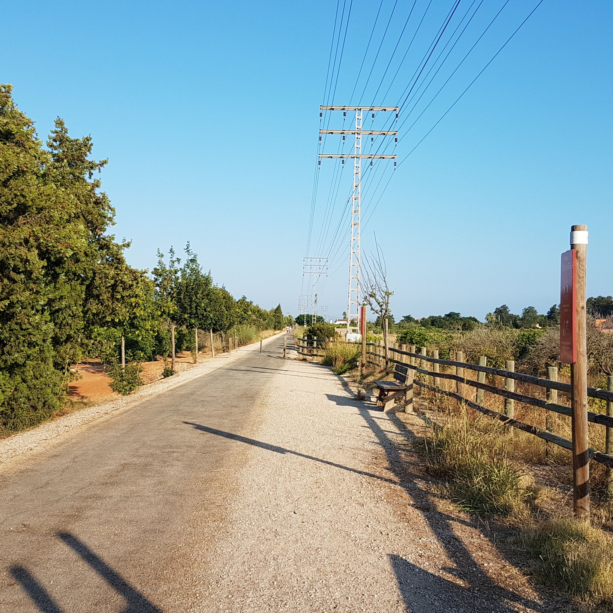
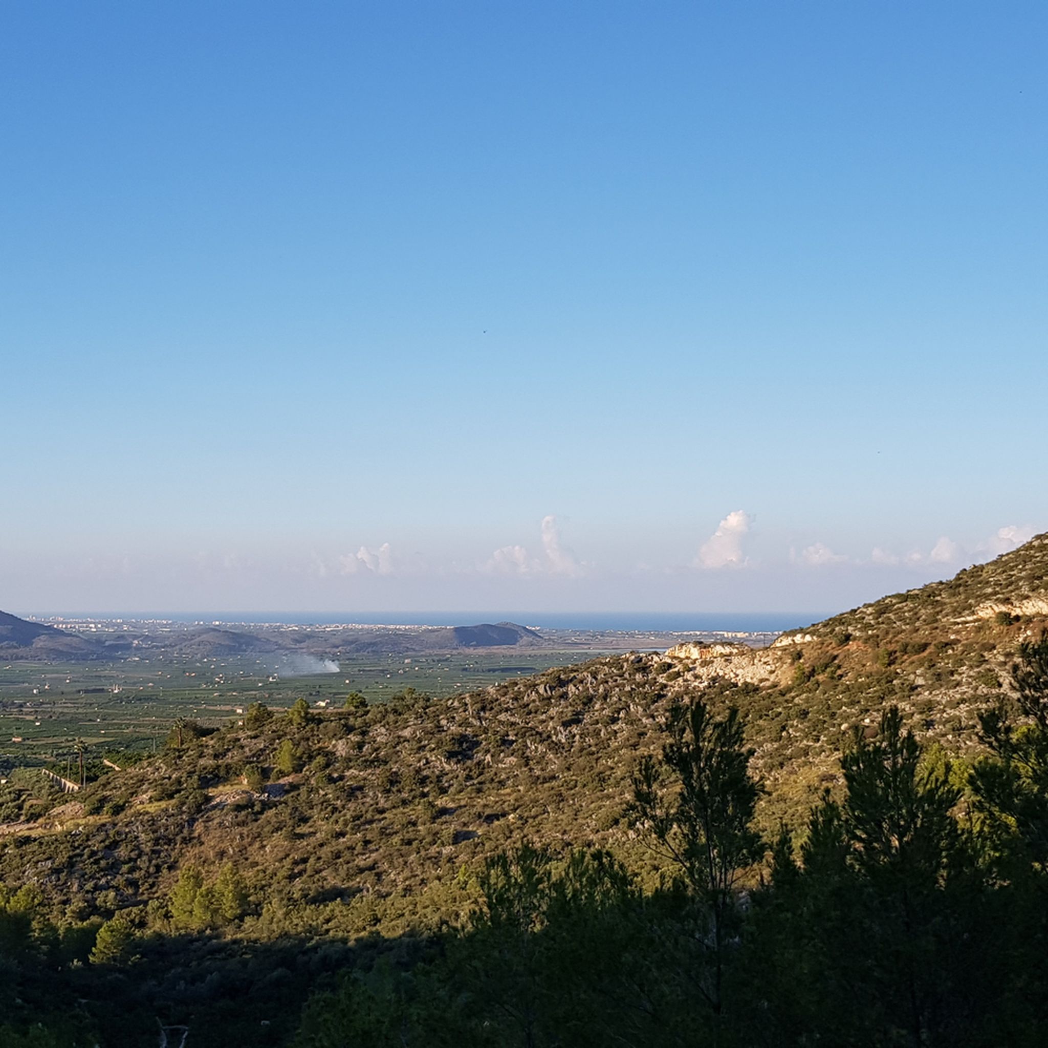
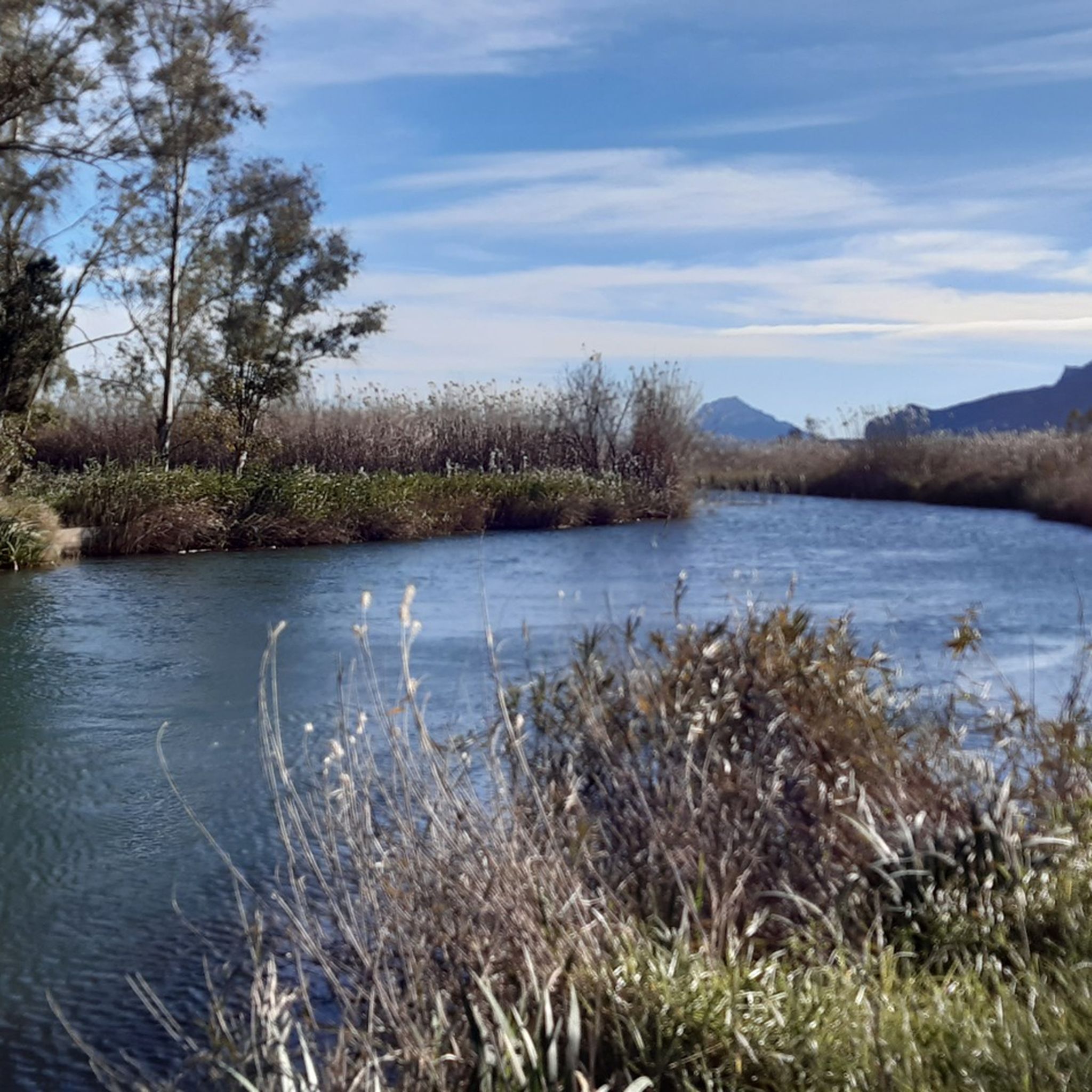
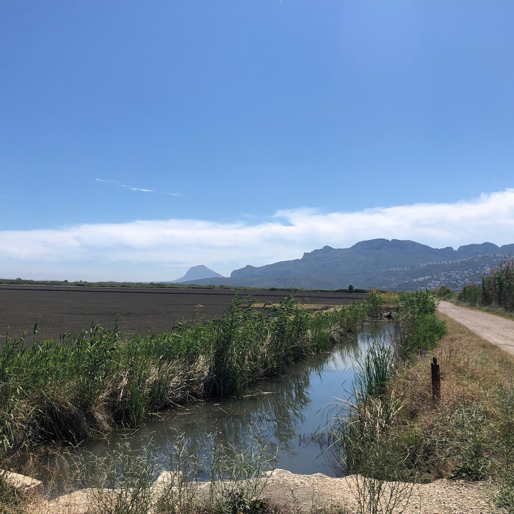
Tips from the Community

The only crossing over the river. Suitable spot for a picnic. It's not far to Villalonga from here.
2
0
Everything close to the train station. The castle, which is worth seeing, towers above.
2
0
There are several tunnels on the route. 2 to 3 longer ones: you absolutely need light. Otherwise, it's pitch dark.
2
0

Unfortunately, it's no longer a hidden gem. Even now, in February 2026, you can see cars and camper vans parked there. The whole area wasn't particularly inviting for swimming.
0
0

From the bridge you have a beautiful view of the estuary, where the river meanders through reeds and dunes before flowing into the sea.
1
0

A beautiful hike through the Hell's Gorge. The actual route along the railway line, and probably the most interesting section between L'Orcha and Mare de Deu (Barranco del Infierno = Hell's Gorge), is unpaved and unpaved, in some parts very gravelly and rough. Five metal bridges are missing, two stone bridges remain, and six tunnels are traversed, all without lighting.
1
0
Forna is a small, very quiet village in the municipality of L’Atzúbia, in the hinterland of the Costa Blanca. It lies nestled in a hilly, Mediterranean landscape characterized by orange groves and unspoiled valleys. With fewer than one hundred inhabitants, the village has an almost familial atmosphere and has retained its traditional, rural character: narrow streets, whitewashed houses, and flowers adorning doorways. Above the village rises the impressive Castillo de Forna, a fortified palace dating from the late Middle Ages. Its towers and walls define the village's appearance and are a reminder of the region's Moorish past. Later, the castle served as a lord's residence and remains a central landmark of Forna. The village's history stretches far back, as the area was already settled during the Islamic period. Even after the resettlement of new inhabitants in the 17th century, Forna remained a small, agricultural village that has preserved its historical structure. Visitors to Forna will experience a tranquil and charming place. The tranquility, the surrounding nature and the immediate proximity to the mountains make it an ideal destination for anyone seeking an authentic atmosphere and historical architecture away from mass tourism.
1
0
At the mouth of the Río Molinell, which forms the border between Dénia and Oliva, a small bridge spans the river. It connects the coastal paths of both towns and provides cyclists and walkers with a convenient crossing away from the main roads. From here, a wide view opens up of the estuary, where the river winds its way through reed beds and dunes to the sea. The confluence of fresh and salt water is particularly impressive, creating a diverse landscape with a rich birdlife. For cyclists, the bridge provides a convenient crossing point for continuing their tour between Dénia and Oliva or for taking a short break.
2
0
Frequently Asked Questions
What kind of terrain can I expect on gravel bike trails in Marjal de Pego-Oliva?
Marjal de Pego-Oliva offers a diverse mix of terrain. You'll find mostly flat paths through extensive marshlands and rice paddies, crisscrossed by ancient irrigation canals. Towards the north and west, the landscape transitions into a horseshoe-shaped range of mountains, including Mostalla and Segària, providing routes with significant elevation gains and more challenging surfaces.
Are there gravel routes suitable for beginners in Marjal de Pego-Oliva?
Yes, there are several easy routes perfect for beginners. For instance, the Vedat River – Sant Pere Bridge loop from Desembocadura del Riu Racons is an easy 25.2 km trail with minimal elevation gain, ideal for a relaxed ride through the wetlands. Another easy option is the Vedat River – Mouth of the Molinell River loop from Desembocadura del Riu del Vedat, also around 25 km.
Where can I find more challenging gravel biking routes in the region?
For those seeking a challenge, the mountainous periphery of Marjal de Pego-Oliva offers routes with substantial elevation. Consider the Pla de la Llacuna Pass – Pego–Sagra Road loop from Restaurante Monte Pego, a difficult 71.1 km trail with nearly 1,000 meters of ascent, or the Val de Ebo Descent – Vall d'Ebo Pass loop from Restaurante Monte Pego, a difficult 48 km path with over 780 meters of climbing.
What natural attractions can I see along the gravel bike trails in Marjal de Pego-Oliva?
The region is rich in natural beauty. You can explore the extensive wetlands and rice fields, fed by rivers like the Vedat River, and numerous freshwater springs. A notable attraction is Font Salada, a warm natural spring where you can swim. You'll also encounter the Tanques Llargues Rice Fields and the unique dune system south of the Serpis River.
Is Marjal de Pego-Oliva a good destination for birdwatching while cycling?
Absolutely. Marjal de Pego-Oliva is a Ramsar site and a sanctuary for diverse flora and fauna, making it excellent for birdwatching. Keep an eye out for herons, ducks, and rare species like the marbled duck. The extensive marshlands and rice paddies provide ideal habitats, and observation points are available throughout the Natural Park.
Are there any circular gravel routes available in Marjal de Pego-Oliva?
Yes, many of the gravel routes in Marjal de Pego-Oliva are circular, allowing you to start and end at the same point. For example, the Mouth of the Molinell River – Tanques Llargues Rice Fields loop from Desembocadura del Riu del Vedat is a moderate 32.8 km circular trail that takes you through the heart of the wetlands.
What is the best time of year to go gravel biking in Marjal de Pego-Oliva?
The region is generally pleasant for cycling outside of the peak summer heat. Spring and autumn offer mild temperatures and beautiful scenery, with the wetlands and rice fields at their most vibrant. Winter can also be a good time, with cooler, drier weather, though some areas might be damp after rain.
What do other gravel bikers say about the trails in Marjal de Pego-Oliva?
The gravel biking routes in Marjal de Pego-Oliva are highly rated by the komoot community, with an average score of 4.4 stars from over 7 reviews. Bikers often praise the unique wetland landscapes, the variety of terrain from flat paths to challenging mountain ascents, and the rich biodiversity encountered along the way.
Are there any specific points of interest or landmarks to look out for?
Beyond the natural landscapes, you can visit the Sant Pere Bridge, which crosses the Vedat River. The numerous 'ullals' (freshwater springs) are also distinctive features of the park. The surrounding mountains like Mostalla and Segària offer dramatic backdrops and scenic viewpoints.
Can I expect to see any unique wildlife while gravel biking here?
Yes, the Marjal de Pego-Oliva Natural Park is known for its rich biodiversity. Besides a wide array of bird species, you might spot rare fish like the Valencia toothcarp (samaruc), European pond turtles, and various invertebrates. During summer, dragonflies and the colorful plain tiger butterfly are also commonly seen.
How many gravel bike trails are available in Marjal de Pego-Oliva?
There are 11 gravel bike trails available in Marjal de Pego-Oliva, catering to various skill levels. This includes 3 easy routes, 1 moderate route, and 7 difficult routes, ensuring options for everyone from beginners to experienced riders.
Most popular routes in Marjal De Pego-Oliva
Most popular attractions in Marjal De Pego-Oliva

Get inspired with the komoot mobile app


Explore more
Browse the best Gravel rides in other regions.
