The best gravel rides around Bluntautal
4.0
(11)
96
riders
7
rides
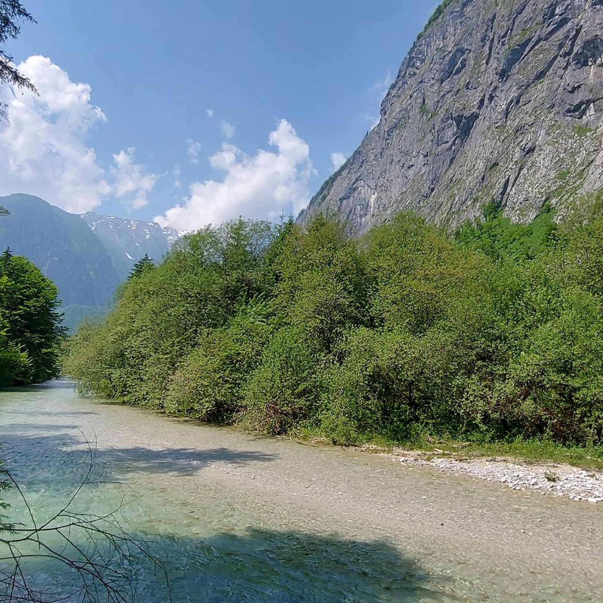
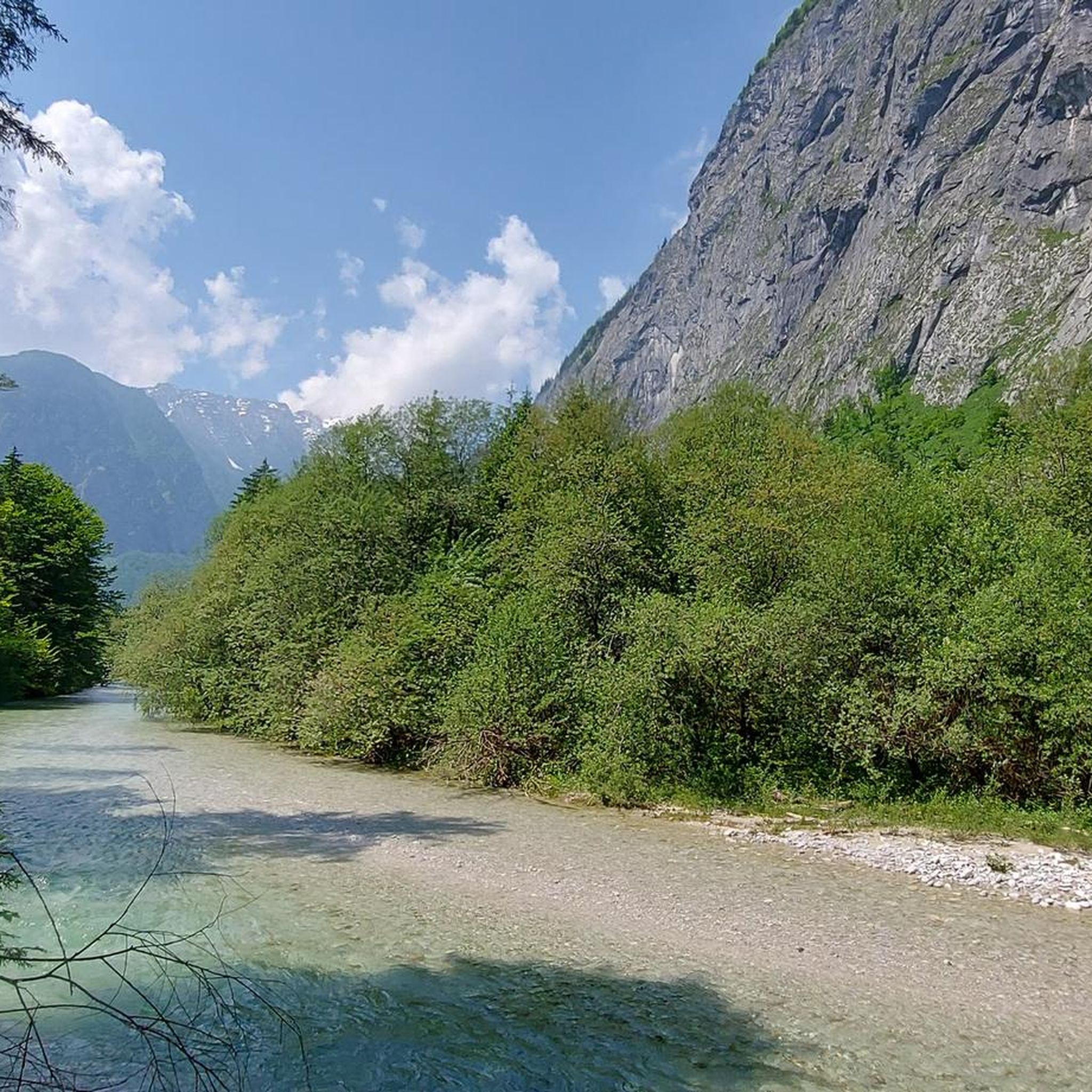
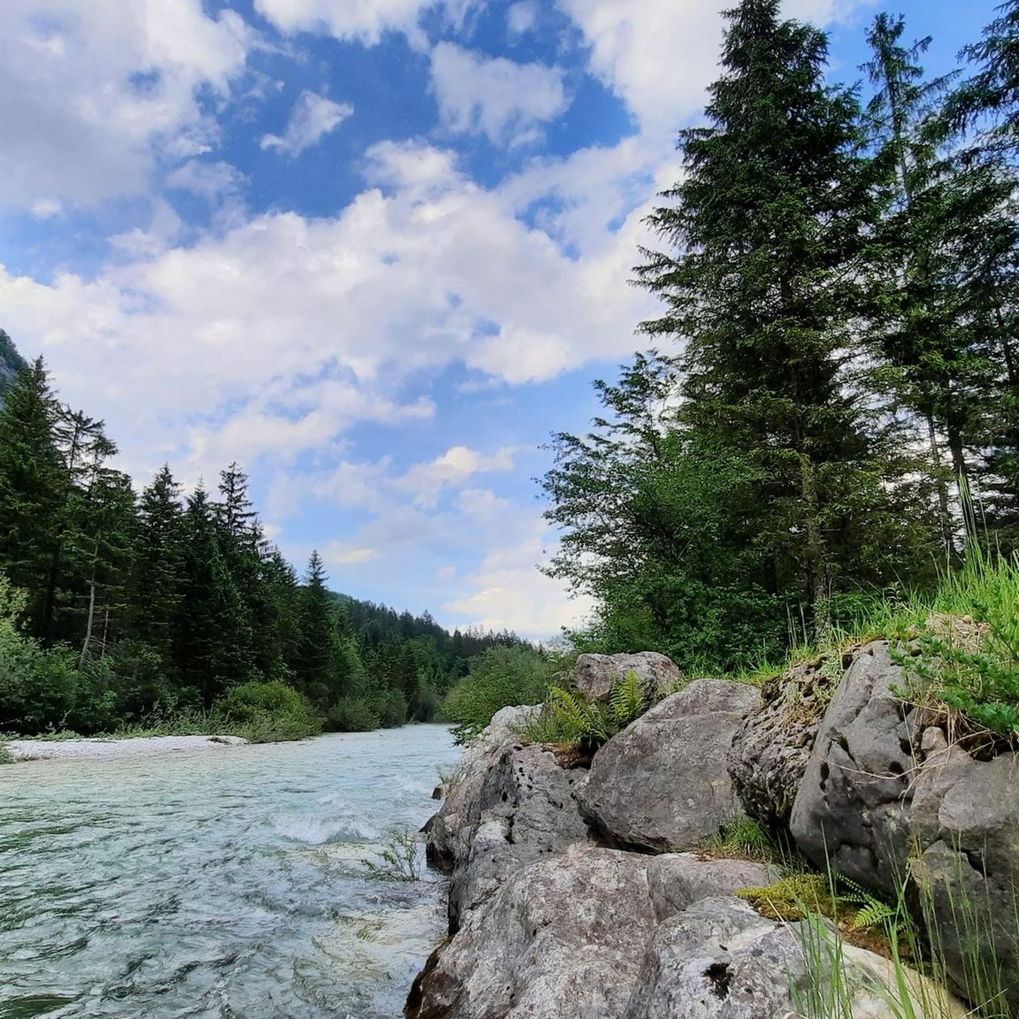
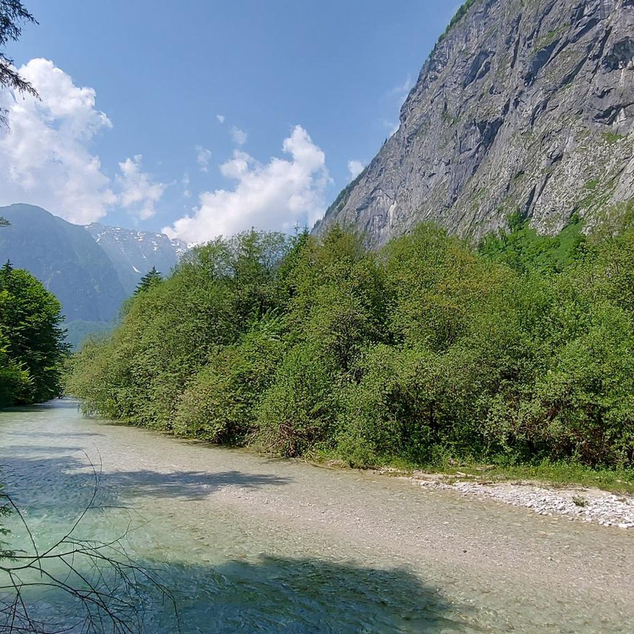
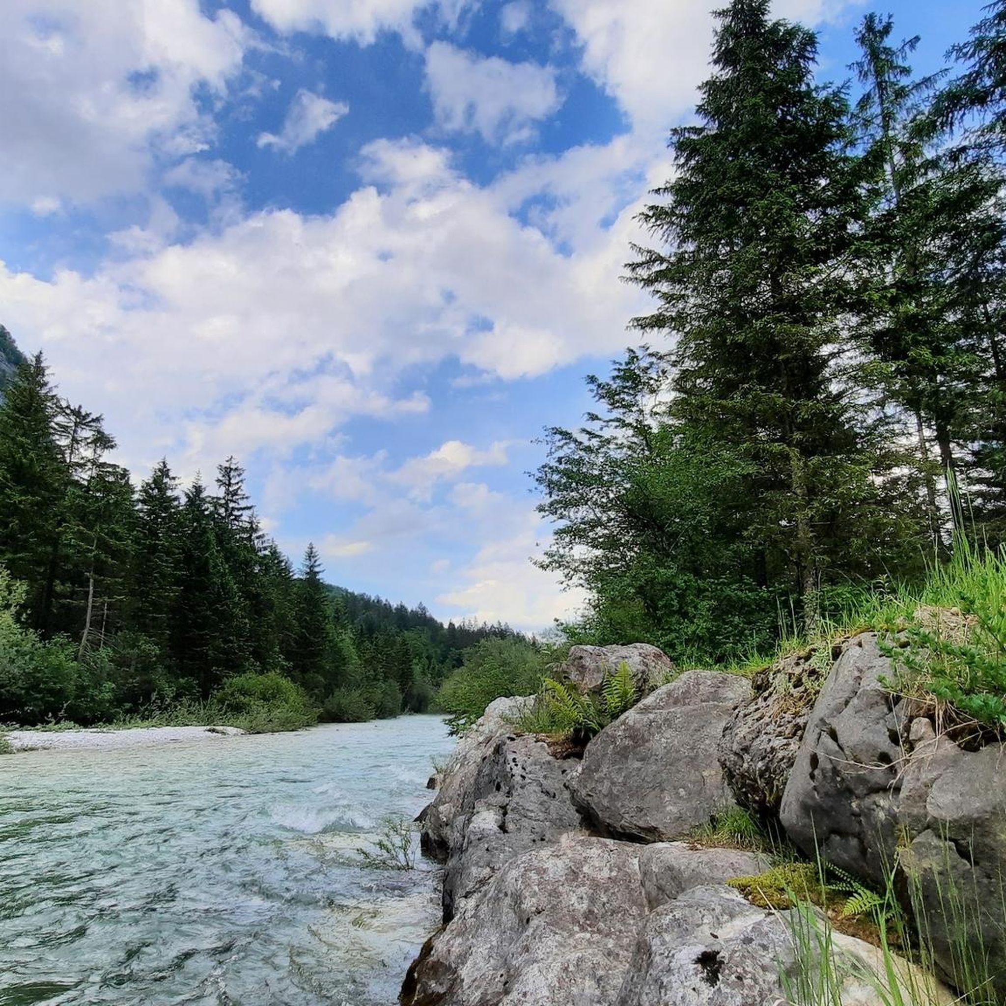
Gravel biking around Bluntautal offers diverse terrain within a picturesque side valley of the Salzach in Golling, Austria. The region is characterized by crystal-clear waters, including the Bluntau lakes and Torrener Ache river, framed by the Göllstock and Hagenbirge mountains. A network of gravel paths and forest lanes provides suitable surfaces for exploration, winding through lush forests and expansive meadows. This landscape offers varied elevation changes and scenic views for gravel bikers.
Best gravel bike trails around Bluntautal
- The most…
Last updated: July 2, 2026
4.8
(5)
36
riders
76.4km
06:55
1,620m
1,620m
Hard gravel ride. Very good fitness required. Some segments of this route may be unpaved and difficult to ride.
4.3
(3)
23
riders
29.7km
02:40
950m
950m
Hard gravel ride. Very good fitness required. Mostly paved surfaces. Suitable for all skill levels.

Sign up for free
4.0
(1)
9
riders
81.0km
05:31
1,260m
1,260m
Hard gravel ride. Very good fitness required. Mostly paved surfaces. Suitable for all skill levels.
2
riders
42.7km
03:11
1,080m
1,080m
Hard gravel ride. Very good fitness required. Mostly paved surfaces. Suitable for all skill levels.
5
riders
45.9km
03:07
1,010m
1,010m
Hard gravel ride. Very good fitness required. Mostly paved surfaces. Suitable for all skill levels.
Get access to more routes and recommendations from other explorers.
Sign up for free
Already have an account?
Our route recommendations are based on thousands of hikes, rides, and runs completed by other people on komoot.
Start today with a free account
Your next adventure awaits.
Login or Signup
Tips from the Community


It's beautifully situated right next to the MTB trail.
0
0
Very quiet at the beginning of March
0
0

swimming in the Taugl
0
0
Absolutely right, simply brilliant to bike here
0
0
Great region for biking
0
0

At the beginning of the tour you cross the Lammer, at the end you follow it and always find places to swim or cool off
0
0
Frequently Asked Questions
What kind of terrain can I expect on gravel bike trails in Bluntautal?
Bluntautal offers a mix of terrain ideal for gravel biking. You'll find well-maintained forest lanes and gravel paths, particularly along the Torrener Ache river and leading towards areas like Obere Jochalm. The region is framed by impressive mountains like the Göllstock and Hagenbirge, meaning routes often include varied elevation changes and scenic views, ranging from lush forests to expansive meadows.
Are there any easy gravel bike routes suitable for beginners or families in Bluntautal?
While many routes in Bluntautal are rated as difficult, there are paths suitable for all skill levels, including families. The valley's network of paths allows for easier, mostly paved surfaces in some sections. For a more relaxed experience, consider exploring the lower Bluntau valley along the Torrener Ache, where cycling is generally tolerated on the forest hiking trails, though consideration for hikers is appreciated.
What natural features or landmarks can I see while gravel biking in Bluntautal?
Bluntautal is rich in natural beauty. You can expect to see the stunning, deep green Lakes Bluntau, the playful Torrener Ache river with its clear waters, and impressive waterfalls, especially in spring. The valley is surrounded by towering mountains, offering continuous scenic views. The Bluntautal Valley itself is a protected landscape, ensuring a pristine environment.
Are there any challenging gravel bike routes for experienced riders?
Yes, Bluntautal offers several challenging routes with significant elevation gain. For instance, the Old Postalm Road in Tennengau - SalzburgerLand is a difficult 47.5-mile (76.4 km) trail featuring substantial climbs and varied terrain, including forest roads. Another demanding option is the Strubklamm Gorge – Wiestal Reservoir loop from Golling-Abtenau, covering nearly 50 miles (80 km) with over 1200 meters of ascent.
Can I find loop routes for gravel biking in Bluntautal?
Absolutely. Many of the gravel bike trails in Bluntautal are designed as loops, allowing you to start and end in the same location. A popular loop is the Oberer Bluntausee – Hubertus Grotto loop from Golling-Abtenau, which is an 18.5-mile (29.7 km) difficult path offering views of the deep green Bluntau lakes and surrounding mountains.
What is the best time of year to go gravel biking in Bluntautal?
The spring and summer months are generally ideal for gravel biking in Bluntautal. In spring, you'll witness the waterfalls at their most impressive due to snowmelt. The lush forests and meadows are vibrant, and the weather is typically pleasant for outdoor activities. Always check local conditions before heading out, especially regarding snowmelt or heavy rainfall.
Are there any routes that offer views of castles or historical sites?
Yes, some routes extend beyond the immediate valley to offer broader regional views. The View of Hohensalzburg Fortress – View of Hohenwerfen Castle loop from Golling-Abtenau is a 66-mile (106.2 km) trail that leads through mountainous terrain, providing distant views of both Hohensalzburg Fortress and Hohenwerfen Castle.
What do other gravel bikers say about the trails in Bluntautal?
The gravel biking routes in Bluntautal are highly regarded by the komoot community, holding an average rating of 4.3 stars from over 80 reviews. Many riders praise the crystal-clear lakes, flowing rivers, and the impressive mountain backdrops that define the region's cycling experience.
Are there any specific routes that pass by the famous Bluntau lakes?
Yes, the Bluntau lakes are a central feature of the valley. The Oberer Bluntausee – Hubertus Grotto loop from Golling-Abtenau specifically offers views of the deep green Bluntau lakes. You can also explore the area around Oberer Bluntausee directly.
Are there any routes that explore the Strubklamm Gorge or Wiestal Reservoir?
For those looking to explore beyond the immediate Bluntautal valley, the Strubklamm Gorge – Wiestal Reservoir loop from Golling-Abtenau is a challenging 49.6-mile (79.8 km) route that takes you through these scenic areas, offering a diverse cycling experience.
Can I find routes that include the Schwarzenbach or Seewald Lake?
Yes, the Schwarzenbach – Seewald Lake loop from Golling-Abtenau is a 26.5-mile (42.7 km) difficult route that incorporates these beautiful natural features, providing another excellent option for gravel bikers.
Most popular routes around Bluntautal
Most popular attractions around Bluntautal

Get inspired with the komoot mobile app


Explore more
Browse the best Gravel rides in other regions.
