The best mountain hikes around Bluntautal
4.8
(343)
3,109
hikers
55
hikes
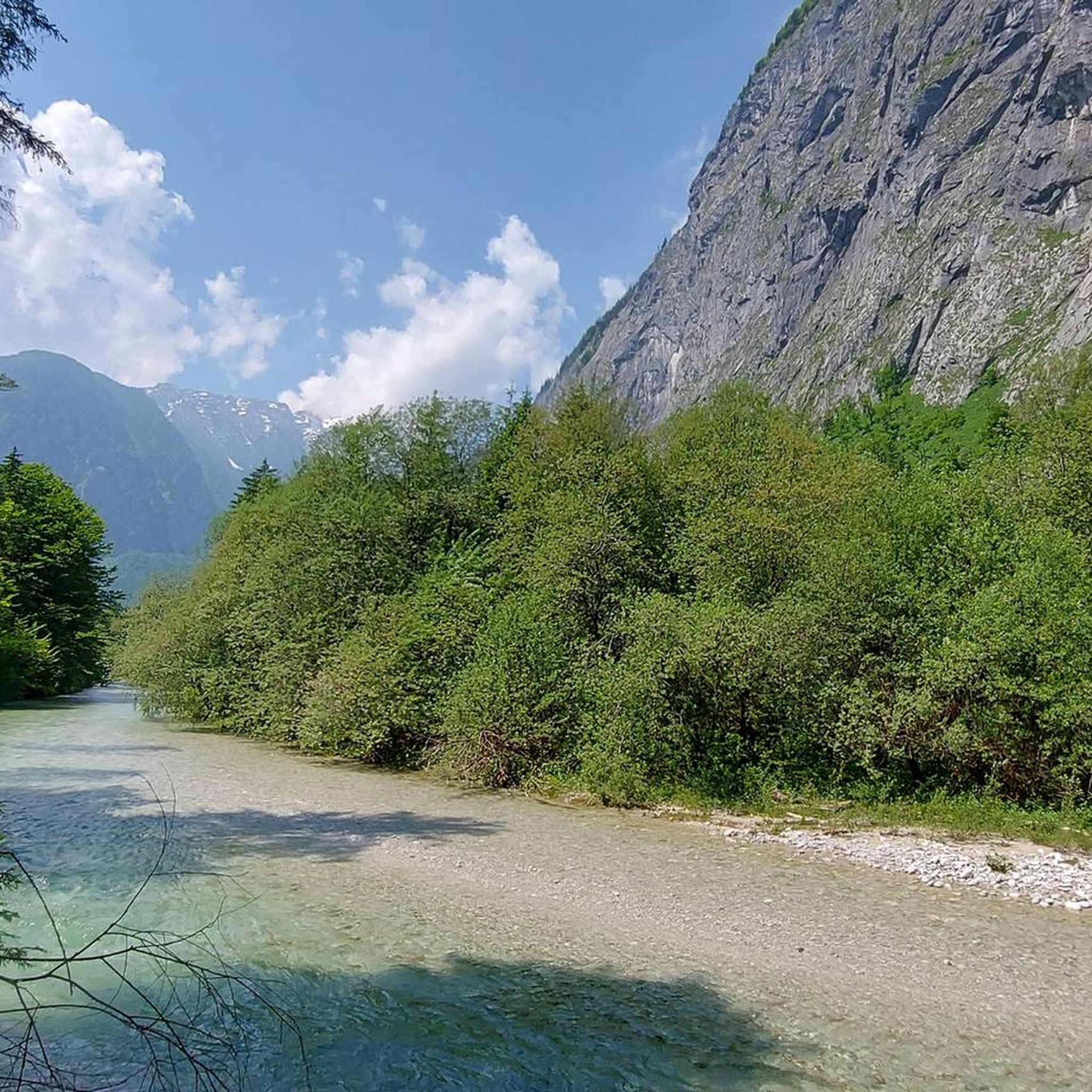
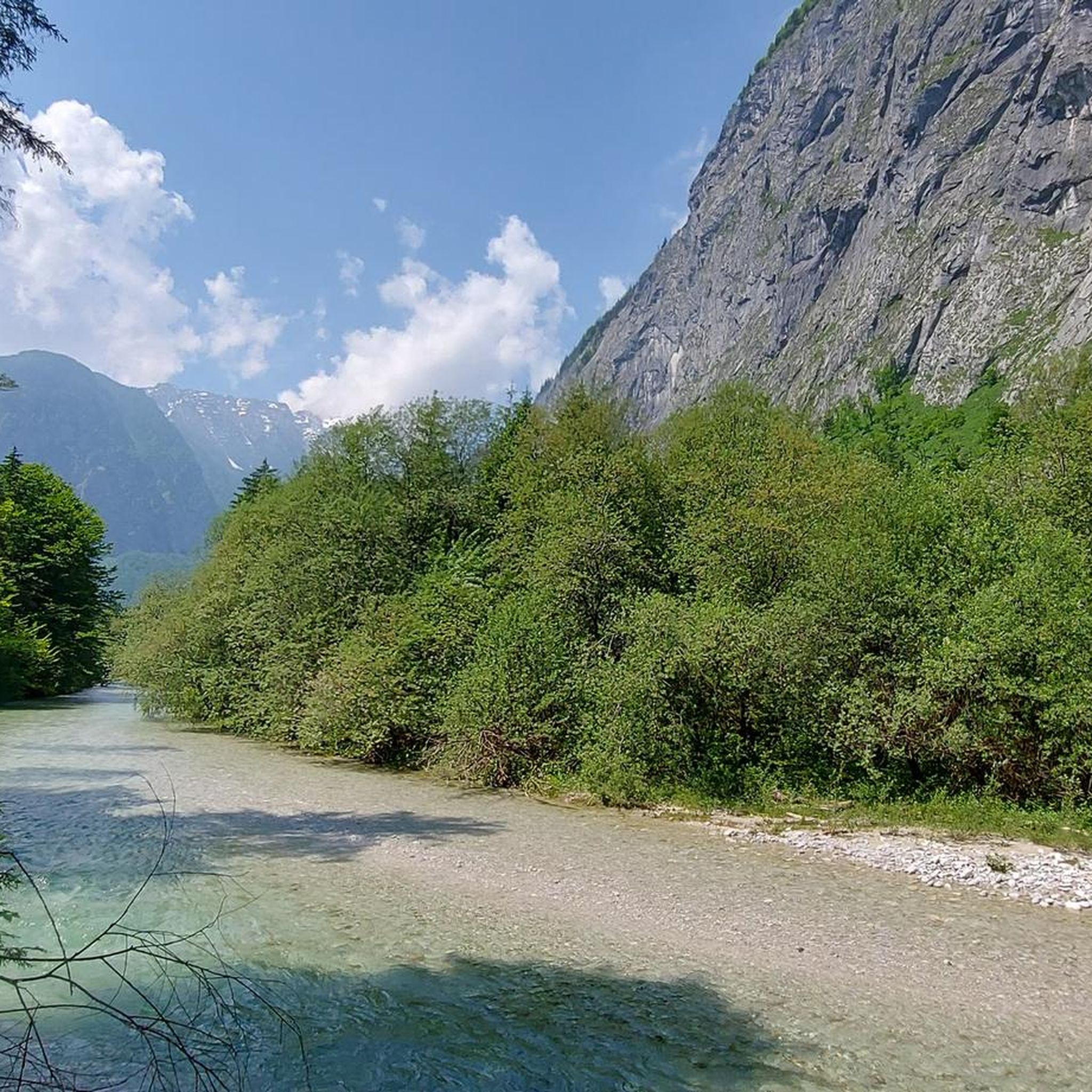
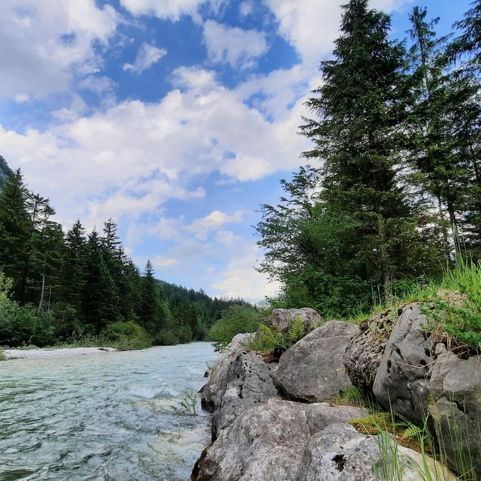
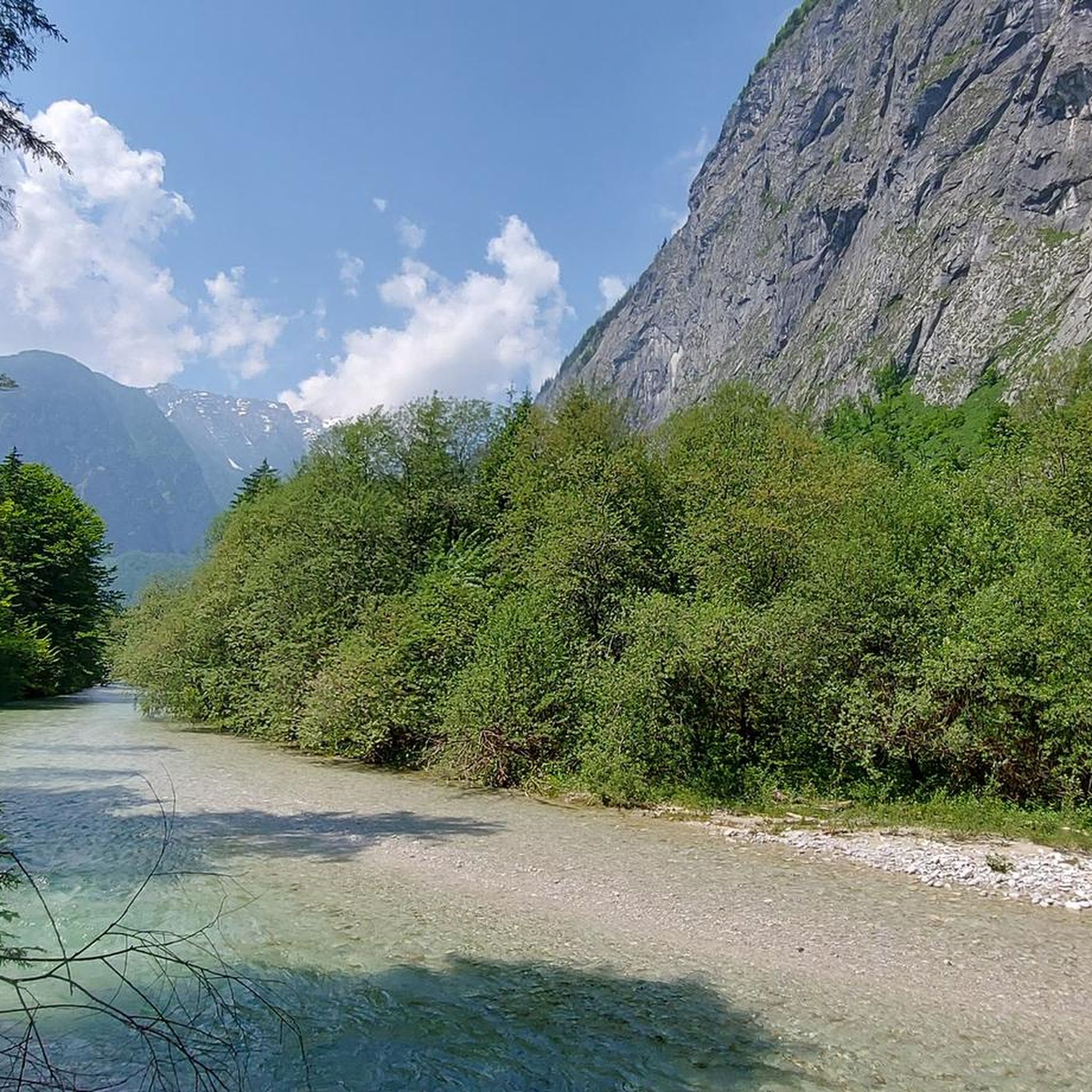
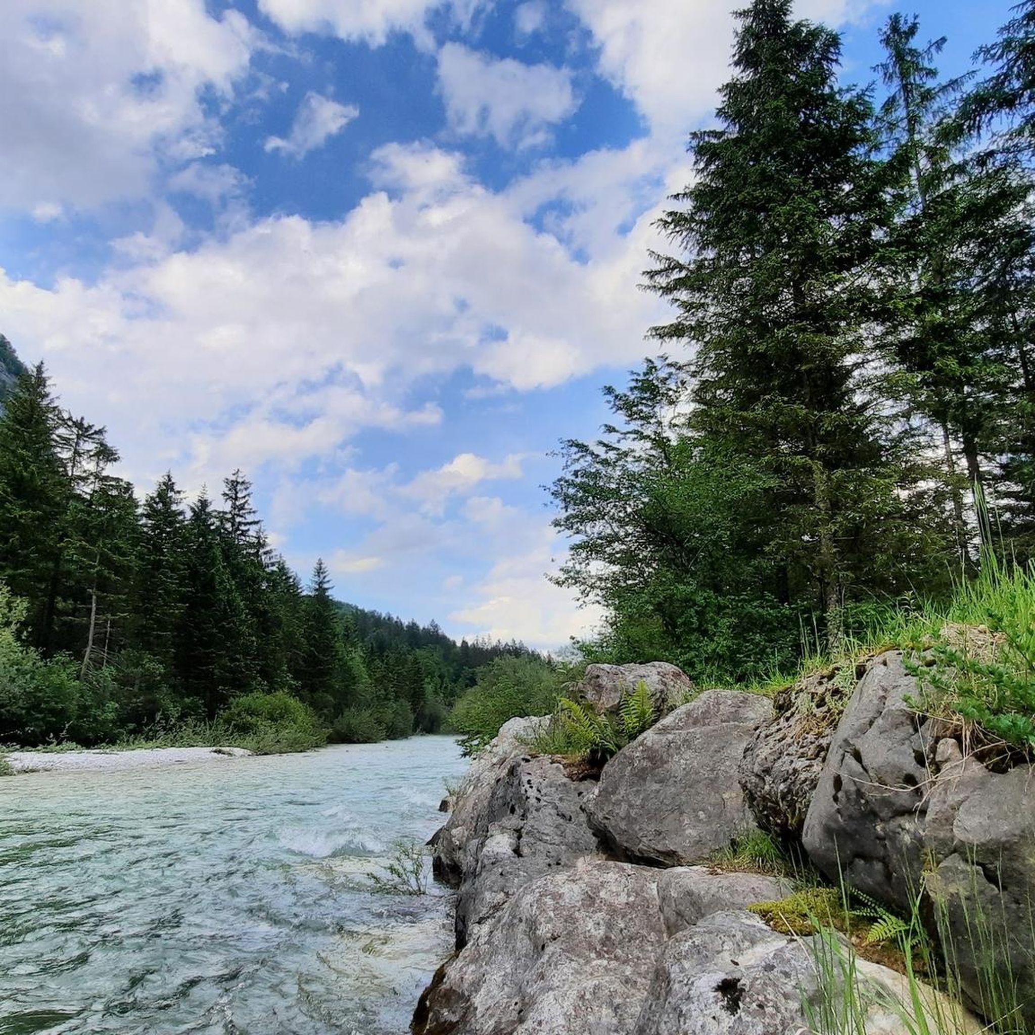
Mountaineering routes around Bluntautal are set within a picturesque side valley of the Salzach, characterized by dramatic mountain ranges like the Göllstock and Hagenbirge. This landscape protection area features deep green lakes, crystal-clear rivers, and numerous waterfalls, particularly in spring. The terrain varies from accessible valley paths to rugged alpine environments, offering significant challenges for experienced mountaineers. The region's geology includes imposing rock formations and steep ascents, providing a diverse backdrop for alpine pursuits.
Best mountaineering routes around Bluntautal
- The…
Last updated: October 5, 2026
4.3
(3)
23
hikers
18.7km
07:34
1,210m
1,210m
Hard mountaineering route. Very good fitness required. Mostly accessible paths. Sure-footedness required.
5.0
(2)
39
hikers
8.32km
06:09
1,220m
1,220m
Hard mountaineering route. Very good fitness required. Sure-footedness, sturdy shoes and alpine experience required.

9
hikers
17.1km
07:25
1,280m
1,280m
Hard mountaineering route. Very good fitness required. Sure-footedness, sturdy shoes and alpine experience required.
5.0
(1)
13
hikers
9.40km
05:56
1,070m
1,070m
Hard mountaineering route. Very good fitness required. Sure-footedness, sturdy shoes and alpine experience required.
14
hikers
10.4km
04:10
770m
770m
Moderate mountaineering route. Good fitness required. Easily-accessible paths. Suitable for all skill levels.
Get access to more routes and recommendations from other explorers.
Already have an account?
Our route recommendations are based on thousands of hikes, rides, and runs completed by other people on komoot.
Start today with a free account
Your next adventure awaits.
Tips from the Community

There is food available at Schneibsteinhaus and overnight stays are also possible.
0
0
You can eat well here and the service was very friendly.
0
0

From the Carl-von-Stahl-Haus at Torrener Joch, you have an impressive 360° mountain panorama. Depending on your location in front of the hut, you can see, among other things, these peaks and mountain ranges: Hoher Göll (2,522 m), the striking rock face dominates the view to the northeast. Schneibstein (2,276 m), rises directly south of the Stahlhaus and is reachable in about 1 to 1½ hours. Hagengebirge, a vast karst plateau with numerous peaks and high plains. Bluntautal, deep below the hut lies the green valley on the Salzburg side; the hiking trail from Golling leads up to the Stahlhaus from there. With clear visibility, you can also recognize parts of the Steinernes Meer and, in the distance, the Hochkönig. On the Schneibstein, there is also a magnificent view of the Watzmann.
3
1
The Carl-von-Stahl-Haus has a long history and is closely linked to alpinism in the Berchtesgaden region. The hut was opened in 1924 by the Salzburg section of the German and Austrian Alpine Club. It was built because the area around the Schneibstein and the Torrener Joch was becoming increasingly popular as a hiking and skiing area. It is named after Carl von Stahl, a patron of the Alpine Club and mountain sports. After the Second World War, the hut was located directly on the newly secured border between Germany and Austria. Border crossings were temporarily severely restricted, which made operating the hut difficult. Today, the Stahlhaus is once again a symbol of cross-border cooperation. Hikers can freely cross the border at the Torrener Joch, and the hut is a popular meeting point for guests from both countries. The Stahlhaus is also an important base for tours to the Schneibstein, the Hohe Brett, and for long-distance hikers on the SalzAlpenSteig.
4
0

From the Jenner mountain station, it's a short time to the Stahlhaus. From here you have a great view.
0
0


A somewhat difficult climb.
4
0

Without the wooden stairs the climb would be even more challenging
0
0
Frequently Asked Questions
What kind of terrain can I expect on mountaineering routes in Bluntautal?
Bluntautal offers a diverse range of terrain, from accessible valley paths to rugged alpine environments. You'll encounter dramatic mountain ranges like the Göllstock and Hagenbirge, imposing rock formations, and steep ascents. Many routes require sure-footedness, sturdy shoes, and alpine experience, with some reaching SAC difficulty levels up to 4-6.
Are there any circular mountaineering routes in Bluntautal?
Yes, Bluntautal features several circular mountaineering routes. A popular option is the Carl-von-Stahl-Haus loop from Bärenwirt, an 11.5-mile (18.5 km) difficult trail. Another challenging circular route is the Golling Waterfall – Kleiner Göll Summit loop from Golling an der Salzach, which is 5.1 miles (8.2 km) long and ascends to the Kleiner Göll Summit.
What natural attractions can I see along the mountaineering routes in Bluntautal?
Bluntautal is rich in natural beauty. You can explore the deep green Lakes Bluntau, including the Oberer Bluntausee, and the crystal-clear Torrener Ache river. The valley is also known for its numerous waterfalls, especially in springtime, such as the mighty 'Weisse Torren' and the Fischbach Waterfall.
Are there any less strenuous mountaineering options for those with moderate experience?
While many routes are difficult, Bluntautal does offer some moderate mountaineering options. For example, the Kuchl Bridge Over the Salzach – View of the Tennengebirge loop from Kuchl is a moderate 6.4-mile (10.4 km) route that takes around 4 hours to complete, offering significant elevation gain without the extreme difficulty of some other trails.
What do other mountaineers say about the routes in Bluntautal?
The mountaineering routes in Bluntautal are highly regarded by the komoot community, with an impressive average rating of 4.8 stars from over 380 reviews. Mountaineers frequently praise the dramatic mountain scenery, the challenging ascents, and the pristine natural environment, especially the crystal-clear lakes and cascading waterfalls.
How many mountaineering routes are available in Bluntautal?
There are over 50 mountaineering routes available in Bluntautal, offering a wide range of challenges. Approximately 39 of these are classified as difficult, while 17 are moderate, and a few are easier, ensuring options for various skill levels.
Is Bluntautal suitable for advanced mountaineering challenges?
Absolutely. Bluntautal is an excellent destination for advanced mountaineers. The surrounding Göllstock and Hagenbirge mountains present significant challenges, with routes often lasting more than five hours and involving over 3,000 feet of elevation gain. Some trails even extend across the mountains into Germany, offering extensive and demanding alpine crossings.
What is the best time of year for mountaineering in Bluntautal?
The best time for mountaineering in Bluntautal is generally from late spring through early autumn. In springtime, you'll witness countless waterfalls fed by snowmelt, adding to the scenic beauty. Summer and early autumn offer more stable weather conditions for longer, more challenging ascents. Always check local weather forecasts before heading out.
Are there any routes that feature the Golling Waterfall?
Yes, the Golling Waterfall is a prominent feature near some mountaineering routes. You can experience it on the Golling Waterfall – Kleiner Göll Summit loop from Golling an der Salzach, which offers panoramic views and challenging climbs. Another option is the Golling Waterfall – Spring in Salzburg loop from Golling an der Salzach, a 10.5-mile (16.8 km) trail through varied alpine landscapes.
Where can I find parking or trailhead access for mountaineering routes in Bluntautal?
Many routes start from accessible points. For example, the Carl-von-Stahl-Haus loop begins from Bärenwirt, which is a known starting point. Other routes, like those heading towards the Kleiner Göll Summit, often start from Golling an der Salzach or Gasteig. Parking facilities are typically available at these common trailheads, but it's always advisable to check specific route details for precise access information.
Are there any routes that offer views of the Tennengebirge?
Yes, some routes provide stunning views of the surrounding mountain ranges. The Kuchl Bridge Over the Salzach – View of the Tennengebirge loop from Kuchl is a moderate route that specifically highlights views of the Tennengebirge, offering a rewarding experience for mountaineers.
What is the typical duration for a difficult mountaineering route in Bluntautal?
Difficult mountaineering routes in Bluntautal can be quite demanding in terms of duration. For instance, the Carl-von-Stahl-Haus loop from Bärenwirt typically takes around 7 hours and 32 minutes to complete. Similarly, the Golling Waterfall – Spring in Salzburg loop is often completed in about 7 hours and 20 minutes, indicating that many challenging routes require a full day's commitment.
Most popular routes around Bluntautal
Most popular attractions around Bluntautal

Get inspired with the komoot mobile app


Explore more
Browse the best Mountain Hikes & Routes in other regions.
