The best gravel rides around Hollesand
5.0
(4)
15
riders
2
rides
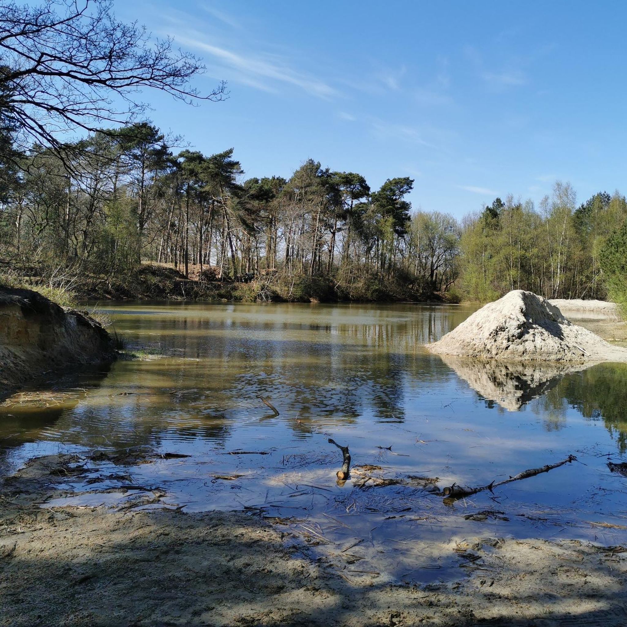
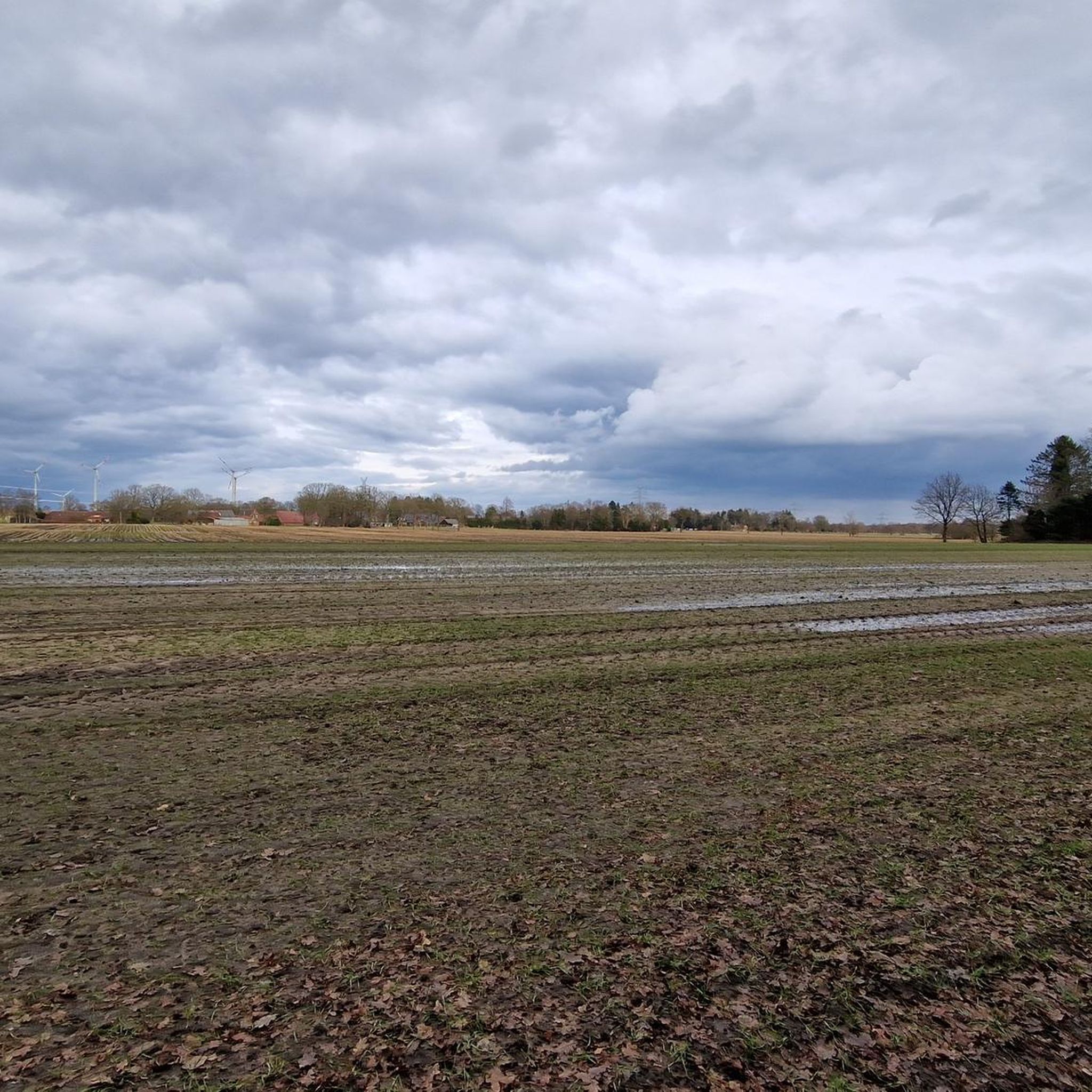
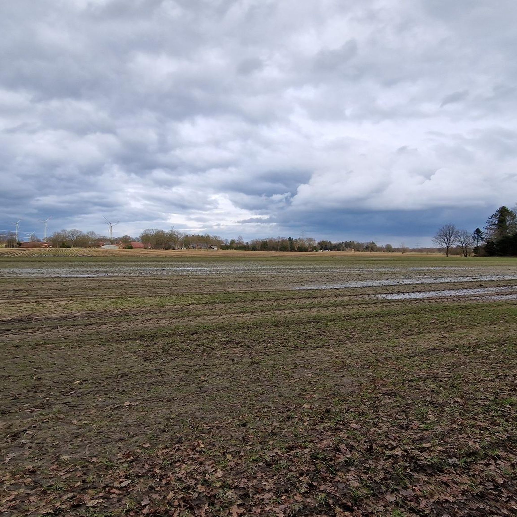
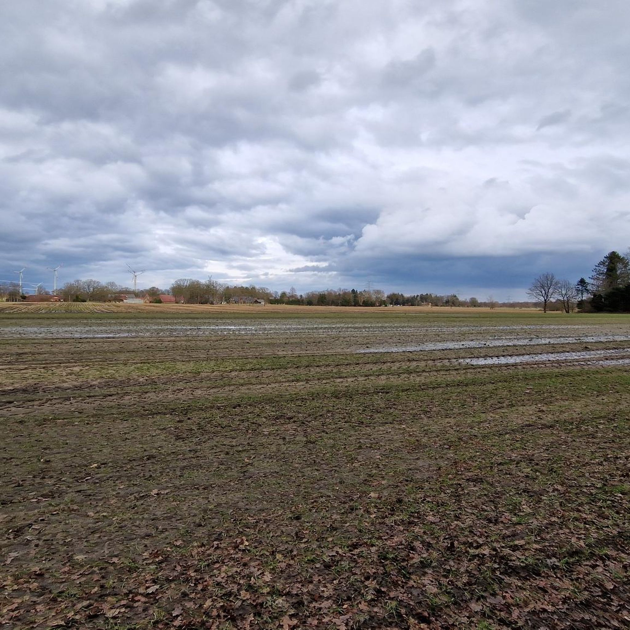
Gravel biking around Hollesand is characterized by its flat to gently rolling terrain, featuring numerous canals and waterways. The region's landscape is predominantly rural, with agricultural areas and scattered woodlands, including a forested dune landscape and extensive heathland. The Kugelberg, at 61 feet (18.6 meters), is the highest natural elevation, offering views over the surrounding areas. Elevation changes are minimal, making for generally accessible routes across varied surfaces.
Best gravel bike trails around Hollesand
- The most popular gravel bike trail…
Last updated: May 21, 2026
5.0
(3)
9
riders
Hard gravel ride. Good fitness required. You may need to push your bike for some segments of this route.
5.0
(1)
3
riders
47.8km
02:46
70m
70m
Hard gravel ride. Good fitness required. You may need to push your bike for some segments of this route.

Sign up for free
3
riders
44.2km
02:31
70m
70m
Hard gravel ride. Good fitness required. You may need to push your bike for some segments of this route.
Our route recommendations are based on thousands of hikes, rides, and runs completed by other people on komoot.
Start today with a free account
Your next adventure awaits.
Login or Signup
Tips from the Community


The single-story gallery Dutch windmill in Bagband was built in 1812.
0
0

Nice crossing parallel to the main road. Eventually you end up at the mill.
1
0
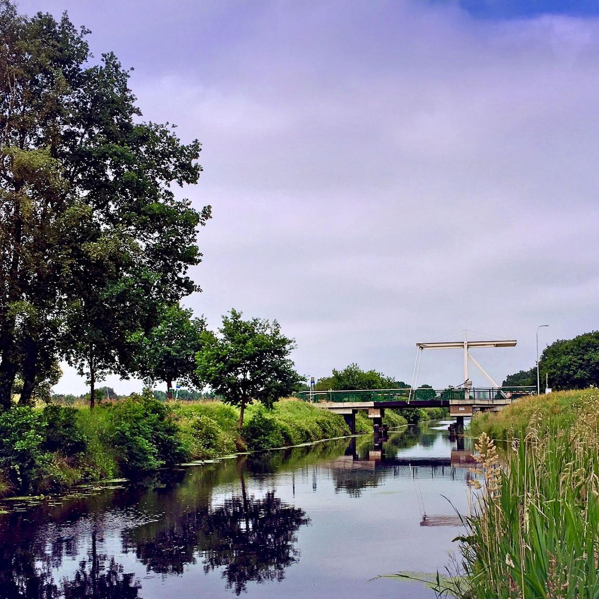
When there is little traffic, you can drive right along the canal. The drawbridges also invite you to "change sides" every now and then.
2
0

Ostgroßefehn Windmill Built in 1804, this windmill is a two-story gallery-style Dutch windmill with a wind rose, miller's house, and outbuildings. The ridge height is 21 meters, the gallery height 8 meters, and the current four shuttered sails have a wingspan of 22 meters. The three millstones and one hulling mill of this grain mill were primarily used for processing buckwheat, the main crop of the fen colonies at that time. Around 1900, a power generation system was installed. The mill ceased operation in 1968. From 1969 to 1988, the mill served as a museum of mill and fen history. In 1992/1993, it underwent conversion and complete renovation. While the buildings were restored in the original style, the existing and functional milling equipment was supplemented with state-of-the-art technology in the form of a generator that feeds electricity into the grid. . ... The mill and the adjacent warehouse house an art exhibition, while the miller's house contains the tourist information center for the municipality of Großefehn. The barn of the miller's house is now operated as a "barn hotel" and event venue.
4
0

Benches, barbecue hut, playground, everything a runner needs.
3
0

beautiful, easy to ride section of the route, along the Nordgeorgsfehnkanal
3
0

Rest areas on the tour are always important
2
1
Frequently Asked Questions
What kind of terrain can I expect on gravel bike trails around Hollesand?
The Hollesand region features flat to gently rolling terrain, characterized by numerous canals and waterways. You'll mostly ride through rural agricultural areas and some scattered woodlands, with minimal elevation changes, making for generally accessible routes.
Are there gravel bike trails for all skill levels in Hollesand?
Yes, Hollesand offers a network of routes catering to various skill levels, including easy, moderate, and difficult options. For instance, the Südgeorgsfehn Canal – Shelter at Uhlenmeer loop from Uplengen is an easy 13.5-mile trail, while the Remelser Kanalweg – Nordgeorgsfehnkanal Bridge loop from Hollen presents a more difficult 29.7-mile challenge.
What are the typical distances and durations for gravel bike routes in Hollesand?
Gravel bike routes in Hollesand vary in length and time. You can find shorter rides like the easy Südgeorgsfehn Canal – Shelter at Uhlenmeer loop from Uplengen, which is about 13.5 miles (21.7 km) and takes around 1 hour 33 minutes. Longer, more challenging routes, such as the Old Train Station – Forest path loop from Samtgemeinde Hesel, can be up to 27.4 miles (44.2 km) and take over 2 hours 30 minutes.
Are there any family-friendly gravel bike trails in Hollesand?
Given the region's flat to gently rolling terrain and minimal elevation changes, many of the canal-side paths are suitable for families. The easy Südgeorgsfehn Canal – Shelter at Uhlenmeer loop from Uplengen is a good option for a less strenuous ride.
What is the best time of year for gravel biking in Hollesand?
The best time for gravel biking in Hollesand is generally from spring through autumn, when the weather is milder and the paths are drier. The flat landscape can be exposed to wind, so checking the forecast is always a good idea. Winter rides are possible, but paths may be wet or muddy.
Are there any loop trails for gravel biking in Hollesand?
Yes, many of the gravel bike routes in Hollesand are designed as loops, allowing you to start and finish at the same point. Examples include the Brückenfehn Drawbridge – Nordgeorgsfehn Canal loop from Uplengen and the Rest Area Unterlander Straße – Ruins of Barthe Monastery loop from Uplengen.
What interesting places can I see along the gravel bike trails in Hollesand?
Along the gravel bike trails, you can explore various points of interest. Consider visiting the Kugelberg (Highest Natural Hill in East Frisia) or the unique Hexentanzplatz dune in Holle Sand. Many routes also follow scenic canal paths and pass through rural villages.
What do other gravel bikers enjoy most about Hollesand?
The gravel biking experience in Hollesand is highly rated by the komoot community, with an average score of 4.6 stars. Riders often praise the peaceful canal paths, the flat and accessible terrain, and the opportunity to explore the rural East Frisian landscape.
Are there any cafes or places to stop for refreshments along the routes?
While specific cafes directly on every route are not guaranteed, the region has small villages and towns where you might find local eateries. The Waldhaus Hollsand is one such establishment that could be a convenient stop depending on your chosen route.
Where can I find parking for gravel biking in Hollesand?
As many routes start from towns like Uplengen or Hollen, you can typically find public parking facilities within these communities. It's advisable to check local parking options near your chosen trailhead before you set out.
How many gravel bike trails are available around Hollesand?
There are several gravel bike trails available around Hollesand, with komoot featuring at least 4 distinct routes for you to explore.
Most popular routes around Hollesand
Most popular attractions around Hollesand

Get inspired with the komoot mobile app


Explore more
Browse the best Gravel rides in other regions.
