Broich-Speldorfer Forest
Broich-Speldorfer Forest
The best gravel rides around Broich-Speldorfer Forest
4.4
(358)
1,945
riders
104
rides
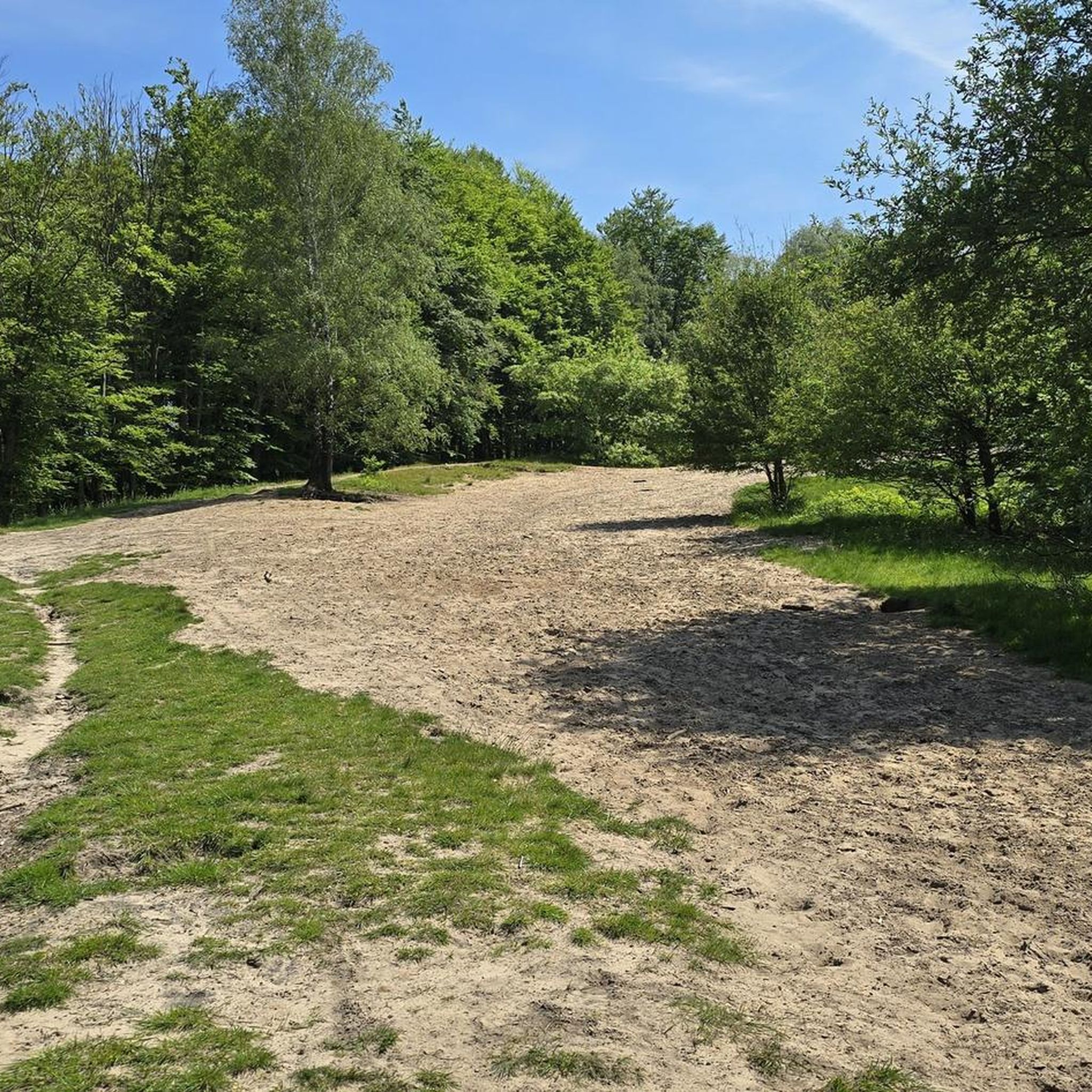
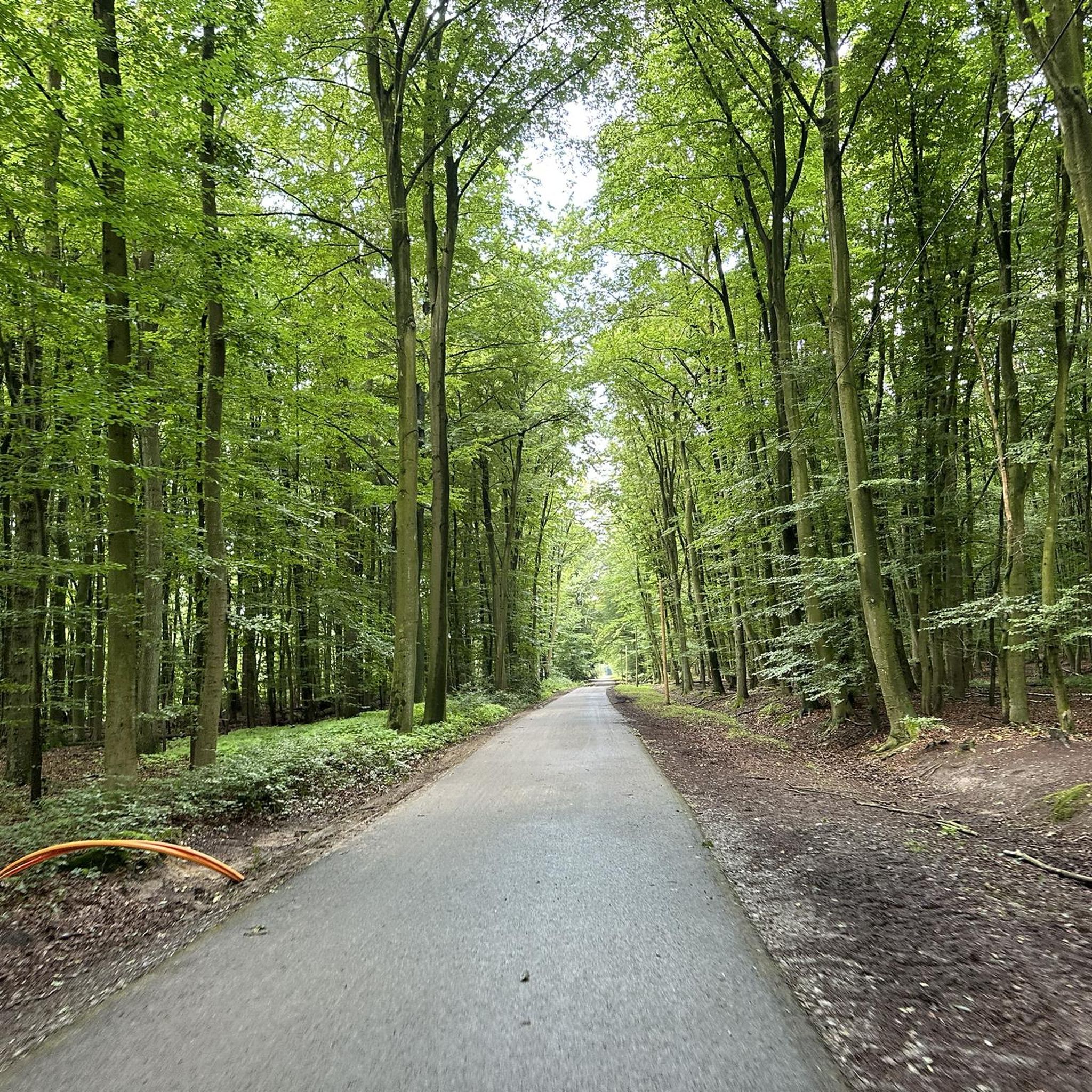
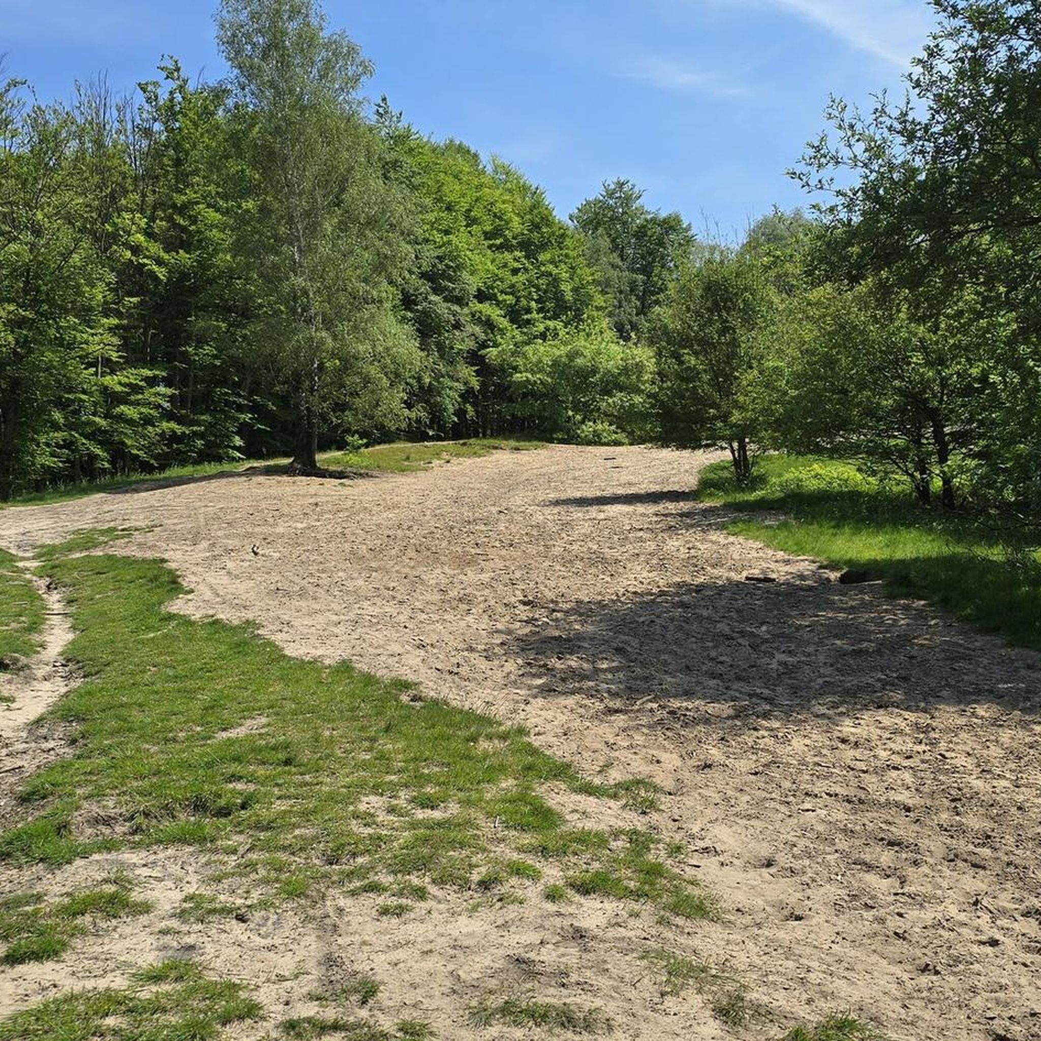
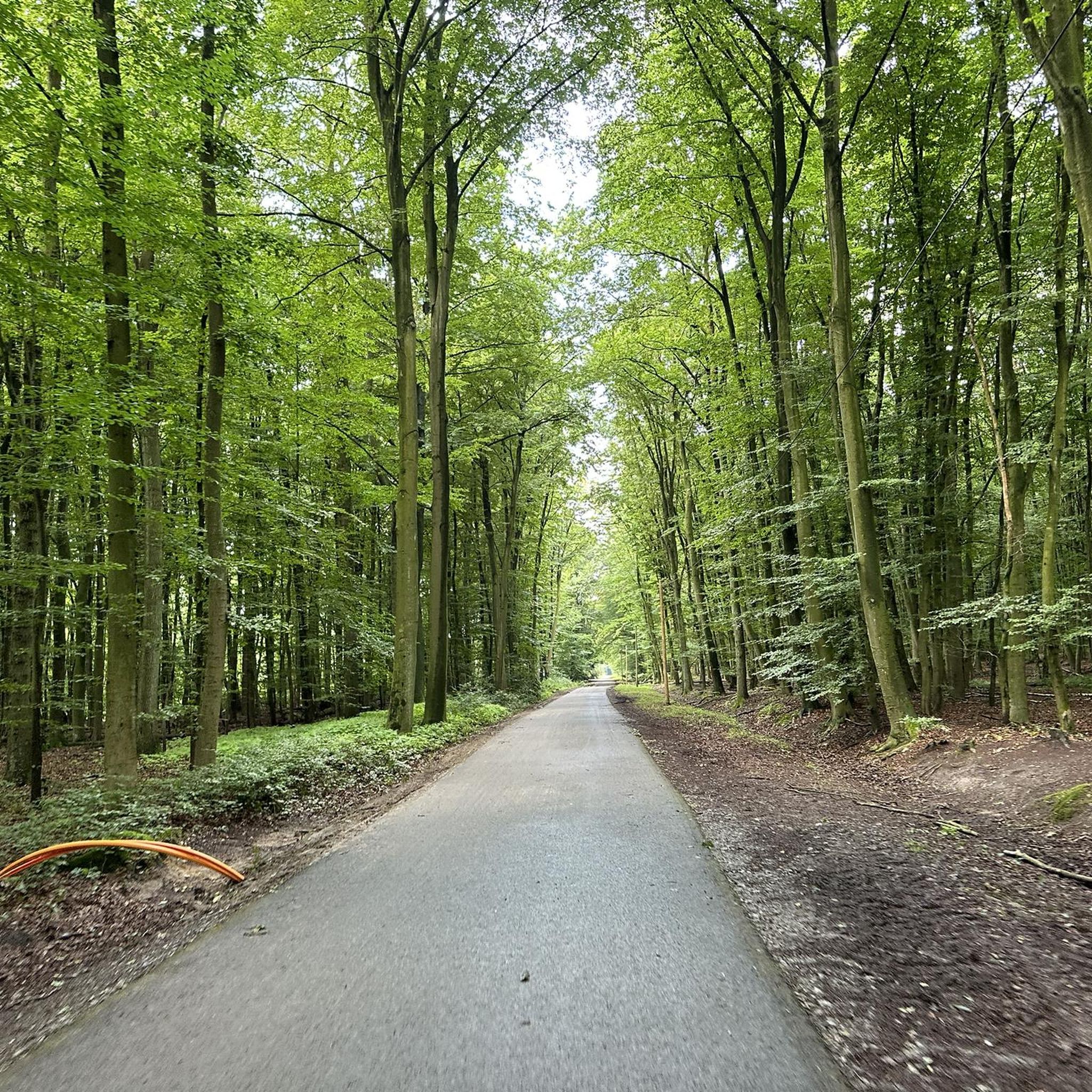
Gravel biking around Broich-Speldorfer Forest provides access to an extensive network of paths within a large contiguous forest area. The terrain includes both paved sections and wide forest paths, alongside singletracks, offering varied surfaces for gravel cyclists. Key natural features include the meandering Wambach stream, Entenfang lake, and diverse forest ecosystems with areas of riparian and birch-oak woodlands. The region also features the "Fliegerberg," a recreational space offering open landscapes and views over the surrounding area.
Best gravel bike trails…
Last updated: May 22, 2026
4.0
(1)
9
riders
Moderate gravel ride. Good fitness required. Mostly paved surfaces. Suitable for all skill levels.
5
riders
19.9km
01:02
100m
100m
Easy gravel ride. Great for any fitness level. Mostly paved surfaces. Suitable for all skill levels.

Sign up for free
4.2
(25)
122
riders
Hard gravel ride. Very good fitness required. You may need to push your bike for some segments of this route.
27
riders
98.5km
05:42
950m
950m
Hard gravel ride. Very good fitness required. You may need to push your bike for some segments of this route.
4.5
(2)
12
riders
Easy gravel ride. Great for any fitness level. Mostly paved surfaces. Suitable for all skill levels.
Get access to more routes and recommendations from other explorers.
Sign up for free
Already have an account?
Our route recommendations are based on thousands of hikes, rides, and runs completed by other people on komoot.
Start today with a free account
Your next adventure awaits.
Login or Signup
Tips from the Community

Common sense, don't go on the weekend - too crowded
0
0

Worth seeing. Definitely worth it
1
0
Worth seeing. Definitely worth it
0
0
Worth seeing. Definitely worth it
0
0

The Sechs-Seen-Platte (Six Lakes Plateau) in the south of Duisburg is one of the city's largest natural and recreational areas. The area covers around 283 hectares, about half of which consists of water surfaces. The landscape is composed of several artificially created lakes, extensive forest sections, and open green areas, serving as a popular excursion destination for many people from the surrounding area. Geographically, the area lies between the districts of Wedau, Buchholz, and Großenbaum. The name comes from six lakes spread across the area: Wolfssee, Masurensee, Böllertsee, Wildförstersee, Wambachsee, and Haubachsee. The surroundings offer a mix of bathing areas, paths for walks and bike tours, as well as quieter, natural sections. Some of the lakes are interconnected: Masurensee and Wolfssee are in direct exchange, and Wolfssee borders Wildförstersee. There is also an underground connection between Masurensee and Wambachsee. On the western edge of Wambachsee, there is a weir, which, at higher water levels, diverts excess water into the old course of the Wambach and finally into the Dickelsbach. The Böllertsee is connected to the Wolfssee via a pipe on the south bank and has a controllable outlet into the Dickelsbach on the west bank. The Haubachsee is fed by the Haubach and discharges its water westward into the Wildförstersee. To do this, the forest path "Im Wolfsgrund" is crossed underneath before the water continues to flow openly. Three smaller bodies of water also flow through parts of the area: the approximately 9 km long Wambach, the approximately 22 km long Dickelsbach, which later flows into the Rhine, and the Haubach.
1
0

I've discovered another beautiful part of the Ruhr area.
0
0

Depending on the season, it can be quite overgrown. Blackberry vines, stinging nettles, and ticks can spoil the fun of the ride.
0
0
Frequently Asked Questions
How many gravel bike trails are available in Broich-Speldorfer Forest?
There are over 200 gravel bike routes in the Broich-Speldorfer Forest area, offering a wide range of options for different skill levels. You'll find 70 easy routes, 116 moderate routes, and 32 more challenging trails.
What kind of terrain can I expect on the gravel bike trails?
The Broich-Speldorfer Forest offers varied terrain, ideal for gravel biking. You'll encounter a dense network of paths, including both paved sections and wide forest paths, as well as some singletracks. This mix provides both comfortable cruising and more adventurous off-road exploration.
Are there any family-friendly gravel bike routes in Broich-Speldorfer Forest?
Yes, the area has numerous easy routes suitable for families. The varied terrain, with its mix of wide forest paths and less challenging sections, makes it a great place for family outings. For an easier option, consider the Masuren Lake – Six Lakes Plateau loop from Schengerholzbachtal, which is rated easy and takes you through scenic lake landscapes.
Can I bring my dog on the gravel bike trails?
Yes, many of the forest paths in Broich-Speldorfer Forest are suitable for cycling with dogs, provided they are well-behaved and kept under control, especially in nature reserve areas. Always be mindful of local regulations and other forest users.
What natural features or landmarks can I see along the routes?
The forest is rich in natural beauty. You can explore the meandering Wambach stream, the picturesque Entenfang Lake, and diverse forest ecosystems. Don't miss the Fliegerberg, a former airfield transformed into a recreational space offering impressive views over the Ruhr area. You might also encounter the Bissingheimer Wäldchen Nature Reserve.
Are there any circular gravel bike routes available?
Yes, many routes in the Broich-Speldorfer Forest are designed as loops. For example, the popular Wedau Regatta Course – Duisburg Regatta Course loop from Duisburg Entenfang is a moderate 25.9-mile circular trail that explores the regatta course and Entenfang lake.
What is the best time of year to go gravel biking in Broich-Speldorfer Forest?
The Broich-Speldorfer Forest is beautiful year-round, but autumn is particularly noted for its scenic beauty, especially in areas like the Uhlenhorst forest. Spring and summer offer lush greenery, while winter can provide a unique, quiet experience, though conditions may vary.
Where can I find places to eat or rest near the trails?
Within and around the forest, there are local spots where you can take a break. The 'Futterkrippe' is a recommended café for a snack and a cold drink. You can also find Jackie's Hangout at Entenfang for refreshments.
What do other gravel bikers enjoy most about the Broich-Speldorfer Forest?
The area is highly rated by the komoot community, with an average score of 4.5 stars from over 1,100 reviews. Reviewers often praise the extensive and varied network of paths, the natural beauty of the Wambach stream and Entenfang lake, and the diverse forest ecosystems that make for engaging rides.
Are there any challenging gravel routes for experienced riders?
Yes, for more experienced riders seeking a challenge, there are several difficult routes. The Rural Road Through the Fields – Gut Papendelle loop from Duisburg-Wedau Pbf is a difficult 41.8-mile route, and the Donnenberger Straße – View of Lake Baldeney loop from Duisburg-Wedau is an even longer, difficult option at 60.4 miles.
How accessible is Broich-Speldorfer Forest by public transport for cyclists?
The Broich-Speldorfer Forest is well-integrated into the larger 'radrevier.ruhr' cycling region, suggesting good accessibility. While specific public transport options for bikes vary, the area's proximity to cities like Duisburg and Mülheim an der Ruhr means there are likely train or bus connections that allow for bike transport to nearby starting points.
Are there any historical points of interest along the routes?
While primarily natural, the area does feature some historical touches. Along Uhlenhorstweg and Großenbaumer Straße, you can spot park-like private properties with entrepreneur villas from the early 20th century. The Wolfsburg, a well-known villa, now houses a Catholic academy and was once a popular excursion restaurant.
Most popular routes around Broich-Speldorfer Forest
Most popular attractions around Broich-Speldorfer Forest

Get inspired with the komoot mobile app


Explore more
Browse the best Gravel rides in other regions.
