The best gravel rides around Banzer Wald
4.4
(7)
58
riders
49
rides
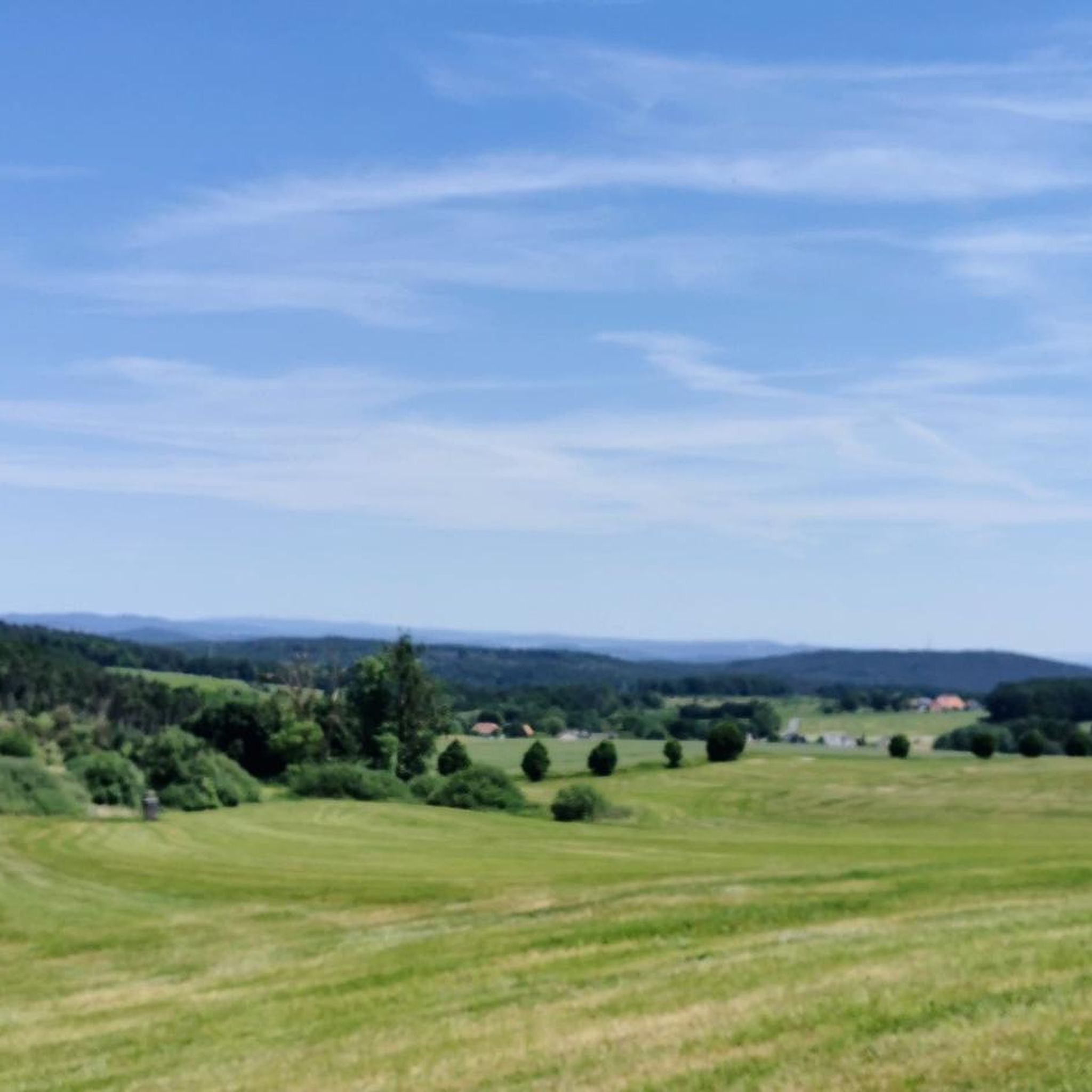
Gravel biking around Banzer Wald offers diverse terrain, combining elements of road and mountain biking across both asphalt and unpaved forest paths. The region is characterized by extensive wooded areas, providing shaded routes and a natural setting for exploration. Varied elevation gains, with some routes reaching up to 1,500 feet, provide a dynamic riding experience. Riders can also enjoy panoramic views of historic Banz Abbey, the prominent Staffelberg mountain, and the Lautertal valley.
Best gravel bike trails around Banzer Wald
…Last updated: July 2, 2026
5.0
(1)
12
riders
61.7km
03:37
610m
610m
Hard gravel ride. Very good fitness required. Mostly paved surfaces. Suitable for all skill levels.
5.0
(1)
10
riders
Moderate gravel ride. Good fitness required. Mostly paved surfaces. Suitable for all skill levels.

Sign up for free
4.5
(2)
7
riders
29.9km
01:47
380m
380m
Moderate gravel ride. Good fitness required. Mostly paved surfaces. Suitable for all skill levels.
3.0
(1)
4
riders
37.7km
02:16
360m
360m
Moderate gravel ride. Good fitness required. Mostly paved surfaces. Suitable for all skill levels.
6
riders
38.8km
02:53
310m
310m
Hard gravel ride. Good fitness required. You may need to push your bike for some segments of this route.
Get access to more routes and recommendations from other explorers.
Sign up for free
Already have an account?
Our route recommendations are based on thousands of hikes, rides, and runs completed by other people on komoot.
Start today with a free account
Your next adventure awaits.
Login or Signup
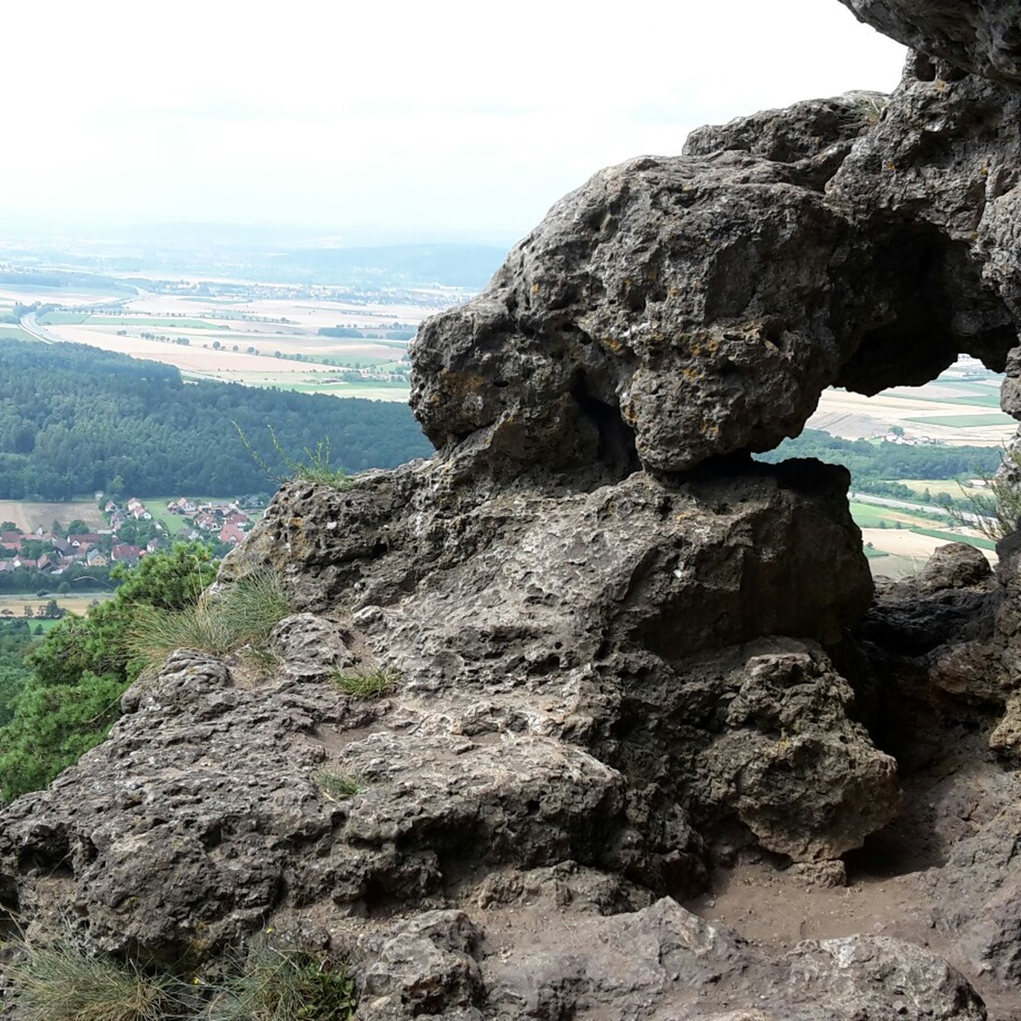
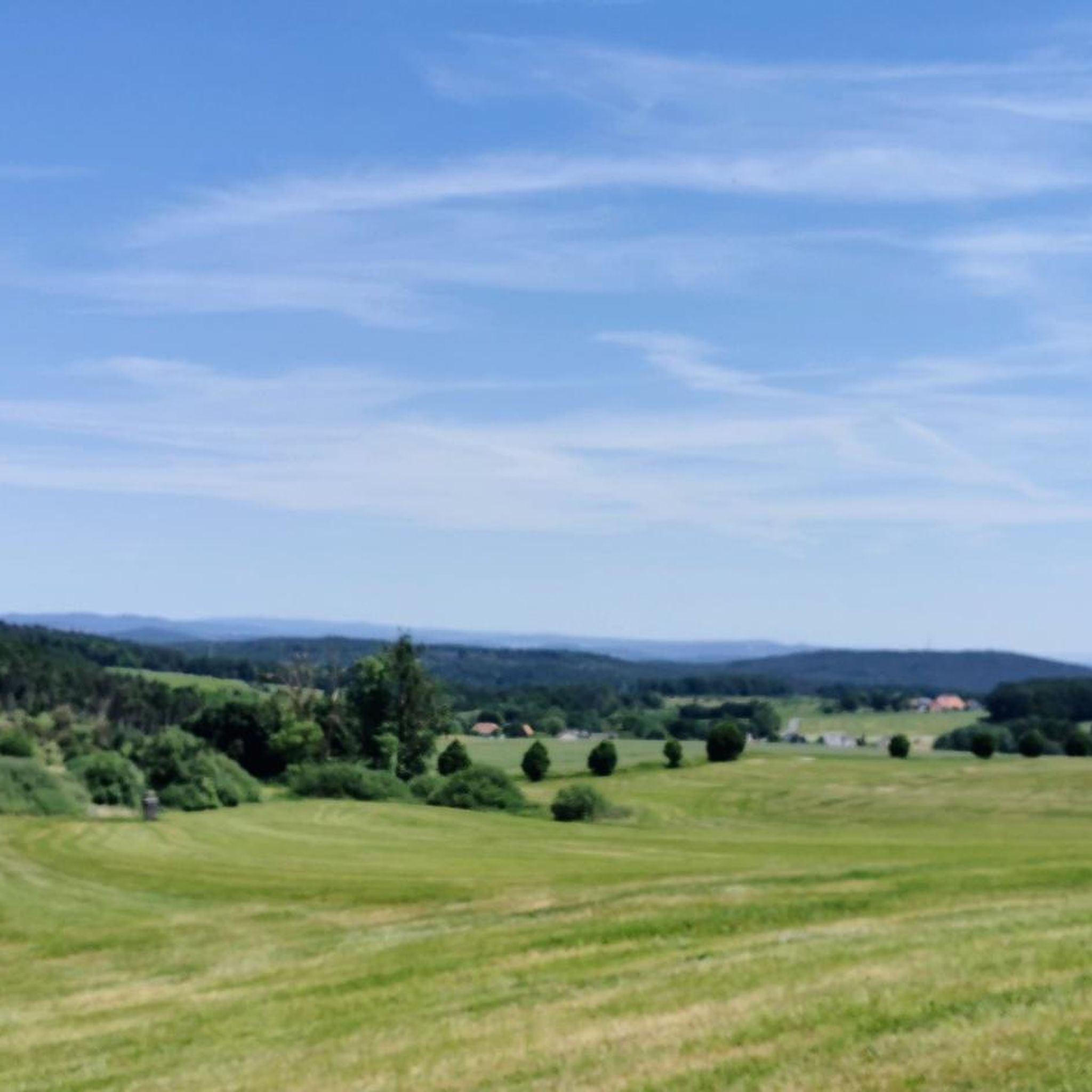
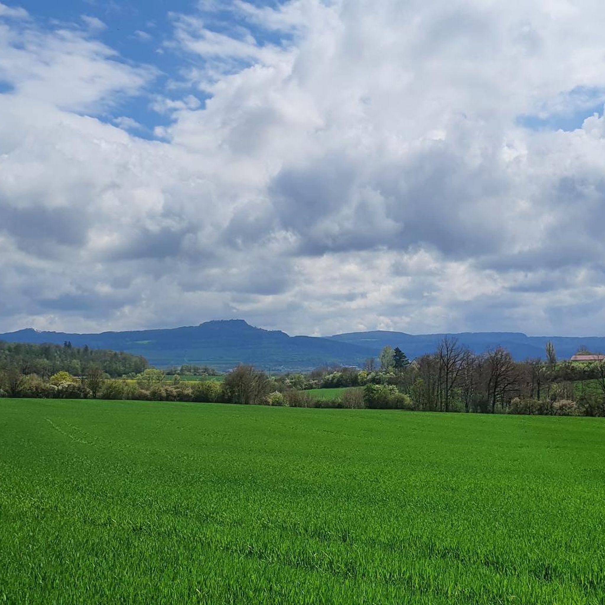
Tips from the Community

Now the path leads us directly along the pond. The last two information boards "fresh fish" 12 and Neuenseer Weiher" 13 point to the long-standing fish farming tradition. The coots and great crested grebes will announce you loudly. [ Source: from the flyer Nature Trail "Around the Neuenseer Weiher" ]
1
0

A small, well-kept village. For a hearty snack with home-brewed beer, head to the Metzgerbräu. Or to the "Grüner Baum" near the church (Thursdays to Sundays from 4 pm or Sunday morning drinks with Merkendorf beer).
0
0

Beautiful lake with swimming area. Sunbathing lawn, pedal boat and lounger rental.
0
0

A very nicely laid-out cycle path.
4
0

The ruins have a very special character due to their construction – you can still really feel the connection between nature and medieval architecture.
5
0

A beautifully preserved fortification with a beautiful path alongside is an ideal place to take a break.
0
0

The former moated castle, with its almost square floor plan measuring approximately 70 by 60 meters, is built on 190 cm thick outer foundation and ground floor walls and consists of a total of five floors. Two round towers rise at the northern corners of the building, their conical roofs slightly projecting above the hipped roof of the main building, thus lending the property a defensive character. Source: https://de.m.wikipedia.org/wiki/Wasserschloss_Untersiemau
13
0
Untersiemau Moated Castle stands in a park on the southern edge of the Upper Franconian municipality of Untersiemau in the Coburg district. The oldest parts of the building, also known as the Lower Castle, date back to the 13th century. The castle was expanded and rebuilt several times over the following centuries. The former moated castle, with its almost square floor plan measuring approximately 70 by 60 meters, is built on 190 cm thick outer foundation and ground floor walls and consists of a total of five floors. Two round towers rise at the northern corners of the building, their conical roofs slightly projecting above the hipped roof of the main building, lending the property a defensive character. Source: https://de.m.wikipedia.org/wiki/Wasserschloss_Untersiemau
13
0
Frequently Asked Questions
How many gravel bike trails are available in Banzer Wald?
Banzer Wald offers a wide selection of gravel biking routes, with over 80 trails available for exploration. These range from easy paths to more challenging routes, catering to various skill levels.
What kind of terrain can I expect on gravel bike trails in Banzer Wald?
The terrain in Banzer Wald is diverse, combining elements of road and mountain biking. You'll encounter both asphalt and unpaved forest paths and tracks. The region is characterized by extensive wooded areas, varied elevation gains, and some segments that can be challenging, occasionally requiring you to push your bike.
What are the typical elevation gains on gravel bike routes here?
Gravel bike routes in Banzer Wald feature varied elevation gains, with some reaching up to 1,500 feet (approximately 450 meters) over the course of a ride. For instance, a moderate route might include around 220 meters of elevation gain over nearly 20 kilometers, providing a dynamic riding experience.
Are there challenging gravel routes for experienced riders?
Yes, Banzer Wald offers plenty of challenging routes for experienced gravel bikers. Approximately 38 of the trails are classified as difficult, featuring varied surfaces and significant elevation changes. An example is the Rothenberg Gate Tower – Rotenhan Castle Ruins loop from Großheirath, which covers 60.7 km with nearly 600 meters of elevation gain.
Are there easier routes suitable for beginners or families?
Yes, there are easier paths suitable for all fitness levels, including beginners and families. While the region offers challenging terrain, there are also routes with less demanding elevation and smoother surfaces. For example, the View from the Staffelberg summit – View of Staffelberg loop from Bad Staffelstein is a moderate 18.2 km path that offers scenic views without extreme difficulty.
What can I see along the gravel bike trails in Banzer Wald?
Along the gravel bike trails, you can enjoy picturesque views of the historic Banz Abbey, the prominent Staffelberg mountain, and the serene Lautertal valley. You might also pass by interesting landmarks such as the Banzer Berg ringwork or the Burgstall Steglitz Ruins.
Are there any circular gravel bike routes in Banzer Wald?
Many of the gravel bike routes in Banzer Wald are designed as loops, allowing you to start and end at the same point. Examples include the View of the Main Valley – Küpser Linde loop from Bad Staffelstein, which is a 29.9 km trail through forested terrain, or the Untersiemau Castle – Main River Cycle Path loop from Herreth.
What is the best season for gravel biking in Banzer Wald?
The extensive forested terrain in Banzer Wald provides shaded routes, making it enjoyable during warmer months. However, the varied surfaces mean that conditions can change with weather. Spring and autumn generally offer pleasant temperatures and beautiful scenery, while winter might present more challenging conditions on unpaved paths.
Where can I find places to rest or eat near the trails?
You'll find options for rest and refreshments in the vicinity of the trails. The Berggasthof Banzer Wald is a notable resting point. Additionally, towns like Bad Staffelstein, which serves as a starting point for several routes, offer cafes and pubs where you can refuel.
Is there parking available near the trailheads?
Yes, there are parking options available near various trailheads in the Banzer Wald region. Many routes start from towns or villages like Großheirath or Bad Staffelstein, where public parking is typically accessible, allowing for convenient access to the trails.
How long do gravel bike trails in Banzer Wald typically take?
The duration of gravel bike trails varies significantly based on distance, elevation, and your pace. Shorter, moderate routes like the 18.2 km View from the Staffelberg summit – View of Staffelberg loop from Bad Staffelstein can take around 1 hour 9 minutes. Longer, more difficult routes, such as the 60.7 km Rothenberg Gate Tower – Rotenhan Castle Ruins loop from Großheirath, might take over 4 hours.
What do other gravel bikers say about the trails in Banzer Wald?
The gravel biking routes in Banzer Wald are highly rated by the komoot community, with an average score of 4.7 stars from over 30 reviews. More than 170 gravel bikers have used komoot to explore the varied terrain, often praising the extensive forested paths, panoramic views, and the diverse options for different ability levels.
Are the gravel bike trails in Banzer Wald dog-friendly?
Many of the forest paths and tracks in Banzer Wald are suitable for cycling with dogs, provided they are well-behaved and kept under control, especially in areas with wildlife or other trail users. It's always recommended to check local regulations and ensure your dog is comfortable with the distance and terrain.
Most popular routes around Banzer Wald
Most popular attractions around Banzer Wald

Get inspired with the komoot mobile app


Explore more
Browse the best Gravel rides in other regions.
