The best gravel rides around Waldgebiet Ruhleben
4.5
(489)
2,102
riders
38
rides
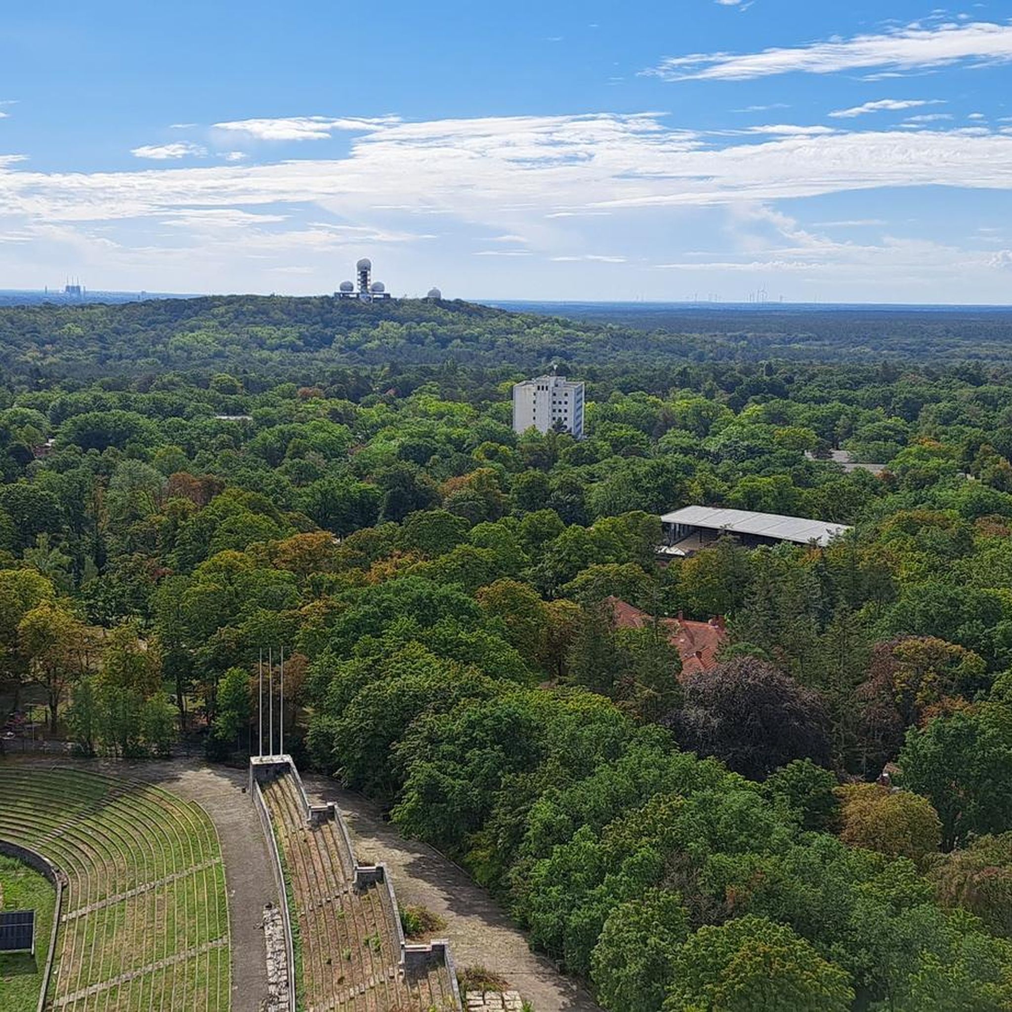
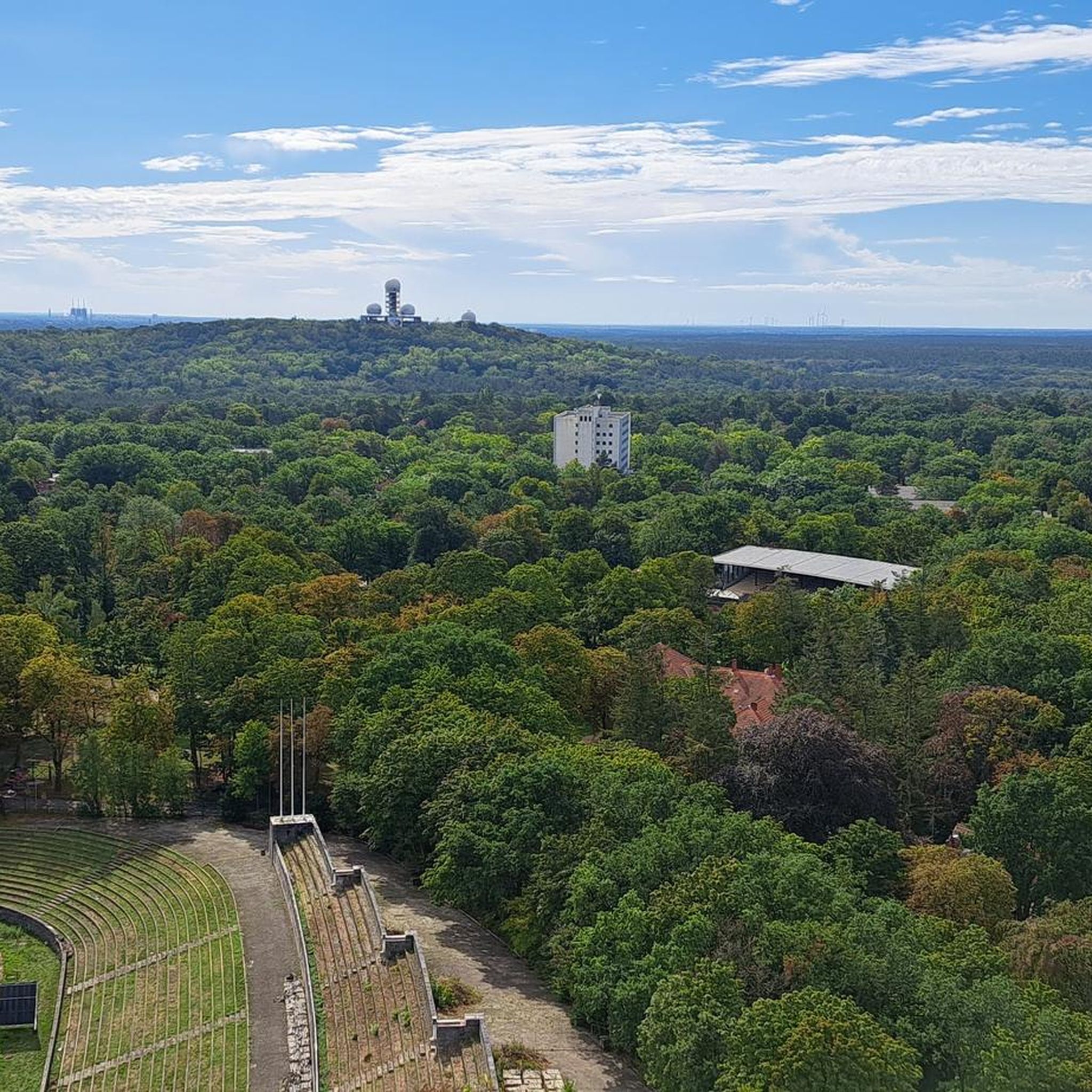
Gravel biking around Waldgebiet Ruhleben offers a diverse landscape characterized by extensive forest areas, such as the Grunewald, and proximity to significant waterways like the Havel River. The terrain typically features a mix of unpaved forest paths, compacted gravel tracks, and sections of historical trails. Elevation changes are generally gentle, with occasional short climbs, making the region accessible for various skill levels.
Best gravel bike trails around Waldgebiet Ruhleben
- The most popular gravel bike trail is Berlin Wall and Havel…
Last updated: July 2, 2026
5.0
(1)
5
riders
17.9km
01:10
140m
140m
Hard gravel ride. Great for any fitness level. You may need to push your bike for some segments of this route.
4.3
(4)
17
riders
27.4km
01:55
40m
40m
Hard bike ride. Great for any fitness level. You may need to push your bike for some segments of this route.

Sign up for free
3.0
(1)
8
riders
16.1km
01:11
160m
160m
Moderate gravel ride. Good fitness required. Mostly paved surfaces. Suitable for all skill levels.
4.7
(297)
1,299
riders
58.2km
04:09
310m
310m
Moderate gravel ride. Good fitness required. Some segments of this route may be unpaved and difficult to ride.
4.0
(16)
68
riders
49.2km
03:52
180m
180m
Hard gravel ride. Good fitness required. You may need to push your bike for some segments of this route.
Get access to more routes and recommendations from other explorers.
Sign up for free
Already have an account?
Our route recommendations are based on thousands of hikes, rides, and runs completed by other people on komoot.
Start today with a free account
Your next adventure awaits.
Login or Signup
Other adventures around Waldgebiet Ruhleben

Tips from the Community

Popular bathing spot for naturists.
0
0

A beautiful path through the forest.
0
0

Havelchaussee is almost always a good option and the number one cycling spot in southwest Berlin. It's about 10 km along the Havel River on undulating terrain through the Grunewald forest. The asphalt is of medium quality. Traffic is heavy in good weather and on weekends.
2
0

The Teufelsseechaussee is a cycle path. It's very easy to cycle here.
0
0

I rode the route with my boyfriend today, and for kilometers, the sand is really deep and fine. Lots of pushing on two gravel bikes, one 32 and one 42 wide. It's really not fun, unfortunately. You can barely see the view because you have to concentrate on the ground the whole time :(
1
0
I rode the route with my boyfriend today, and for kilometers, the sand is really deep and fine. Lots of pushing on two gravel bikes, one 32 and one 42 wide. It's really not fun, unfortunately. You can barely see the view because you have to concentrate on the ground the whole time :(
0
0

You don't just walk up here – you enter a piece of landscape that cannot be straightened. The roots of the pines, gnarled like old hands, grasp at everything that moves: shoe soles, thoughts, time. The path winds its way up the slope, unhurriedly, but earnestly. No shallow excuses, no light footing – whoever walks here walks with their whole body. On the left, the railing, constructed from crooked wood, as if carved by the forest itself. On the right, the hint of the abyss – not deep, but just deep enough to force your gaze to pause for a moment. And then these stairs. Built not by humans, but by roots. They hold together what is about to fall apart. Earth, memory, footsteps. Every step speaks of the patience of the trees, of their desire to ascend and branch out. Nothing spectacular awaits at the top. No observation tower, no bratwurst snack bar. Only the path that leads onward – and the silence that sounds different up here. Further, clearer. Anyone who has been here knows: Not everything beautiful has to be comfortable. But everything beautiful is worth the detour.
0
0

A challenge for gravel and MTB that is incredibly fun
0
0
Frequently Asked Questions
What are the general difficulty levels for gravel biking in Waldgebiet Ruhleben?
The gravel trails around Waldgebiet Ruhleben cater to a wide range of abilities. You'll find a good mix of easy, moderate, and difficult routes. Specifically, there are 28 easy routes, 22 moderate routes, and 20 difficult routes available, ensuring options for beginners to advanced riders.
Are there any family-friendly gravel bike trails in Waldgebiet Ruhleben?
Yes, the region offers several easy routes suitable for families. For instance, the Grunewald – Grunewald Tower loop from Olympiastadion is an easy 11.2-mile (18.0 km) path that explores the expansive Grunewald forest, providing a pleasant experience for various skill levels.
What is the typical length of gravel routes near Waldgebiet Ruhleben?
Route lengths vary significantly. You can find shorter paths, like the 11.2-mile (18.0 km) Grunewald – Grunewald Tower loop from Olympiastadion, or longer adventures such as the Berlin Wall Trail – View of the Havel loop from Neu-Westend, which spans 33.0 miles (53.1 km).
What kind of viewpoints or attractions can I expect along the gravel bike trails?
The trails often offer scenic views of the Havel River and lead through dense woodlands. You can also discover historical sites and natural features. Notable attractions include the Memorial at Murellenberg, the Fließwiese Ruhleben Wetland, and the Murellenschlucht Memorial Trail.
Are there good options for loop gravel bike trails in the area?
Absolutely. Many routes in Waldgebiet Ruhleben are designed as loops, allowing you to start and finish at the same point. A popular choice is the Sacrower Lake – Havel Cycle Route loop from Stresow, which is a 25.2-mile (40.6 km) trail through forested areas and along the Havel River.
What do other gravel bikers enjoy most about the trails in Waldgebiet Ruhleben?
The area is highly rated by the komoot community, with an average score of 4.4 stars from nearly 500 reviews. Riders frequently praise the diverse landscape, which combines extensive forest areas like the Grunewald with picturesque views of the Havel River, and the mix of unpaved forest paths and compacted gravel tracks.
What is the best time of year for gravel biking in Waldgebiet Ruhleben?
The region is generally enjoyable for gravel biking throughout much of the year. Spring and autumn offer pleasant temperatures and beautiful scenery with changing foliage. Summer is also great, especially for routes that offer shade through the extensive forests. Winter conditions can vary, so checking local weather and trail reports is advisable for potential ice or snow.
Are there any advanced gravel biking routes for experienced riders?
Yes, for experienced riders seeking a challenge, there are 20 routes classified as difficult. An example is the On the Wall Trail into the countryside, which offers a more demanding experience with varied terrain.
Where can I find parking for gravel biking near Waldgebiet Ruhleben?
Given the proximity to urban areas and popular starting points like Olympiastadion or Neu-Westend, parking is generally available. Many trailheads, especially those near public parks or recreational areas, often have designated parking facilities. It's recommended to check specific route descriptions on komoot for detailed parking information for your chosen starting point.
Can I reach the gravel trails using public transport?
Yes, Waldgebiet Ruhleben is well-connected by public transport, particularly from Berlin. Many routes, such as those starting near Olympiastadion or Neu-Westend, are easily accessible via S-Bahn or U-Bahn stations, allowing for convenient access without a car.
Are there any cafes or refreshment stops along the gravel routes?
While specific cafes are not listed for every route, the region's proximity to Berlin and its various districts means that refreshment options are generally available, especially near popular starting points or in towns along the longer routes. The Grunewald area, for example, has several spots where you can find food and drinks.
What kind of terrain defines gravel biking in Waldgebiet Ruhleben?
The terrain is characterized by a diverse mix of surfaces. You'll encounter unpaved forest paths, compacted gravel tracks, and sections of historical trails. Elevation changes are typically gentle, with occasional short climbs, making for varied and engaging rides.
Most popular routes around Waldgebiet Ruhleben
Most popular attractions around Waldgebiet Ruhleben

Get inspired with the komoot mobile app


Explore more
Browse the best Gravel rides in other regions.
