The best gravel rides around Kohlplattenschlag
4.6
(72)
313
riders
45
rides
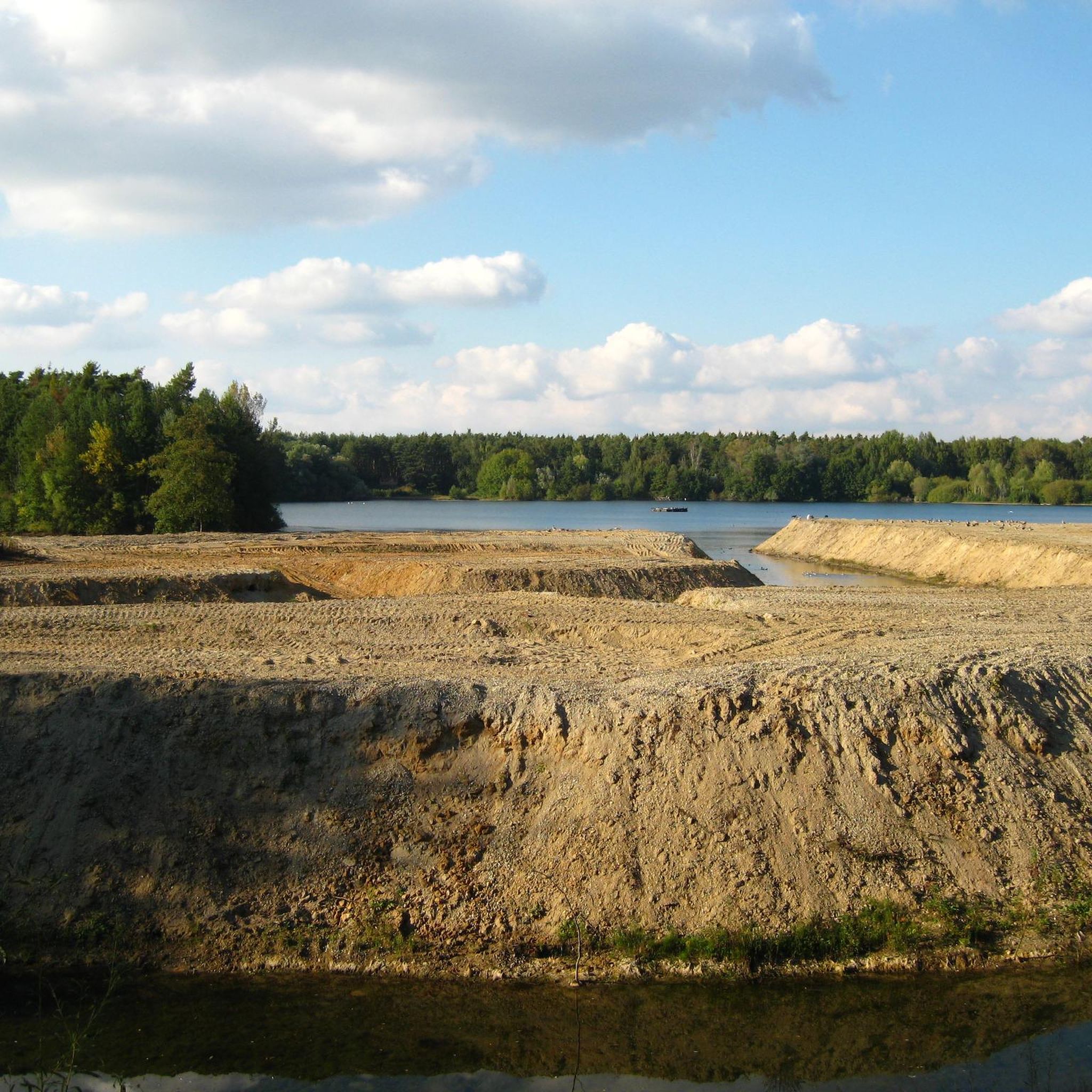
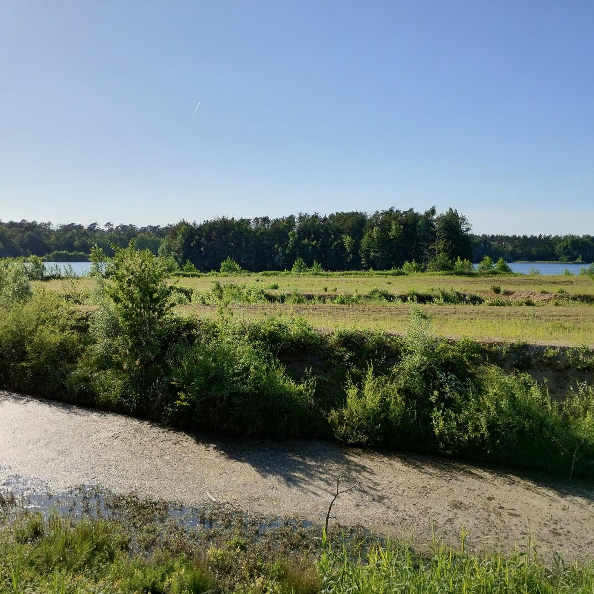
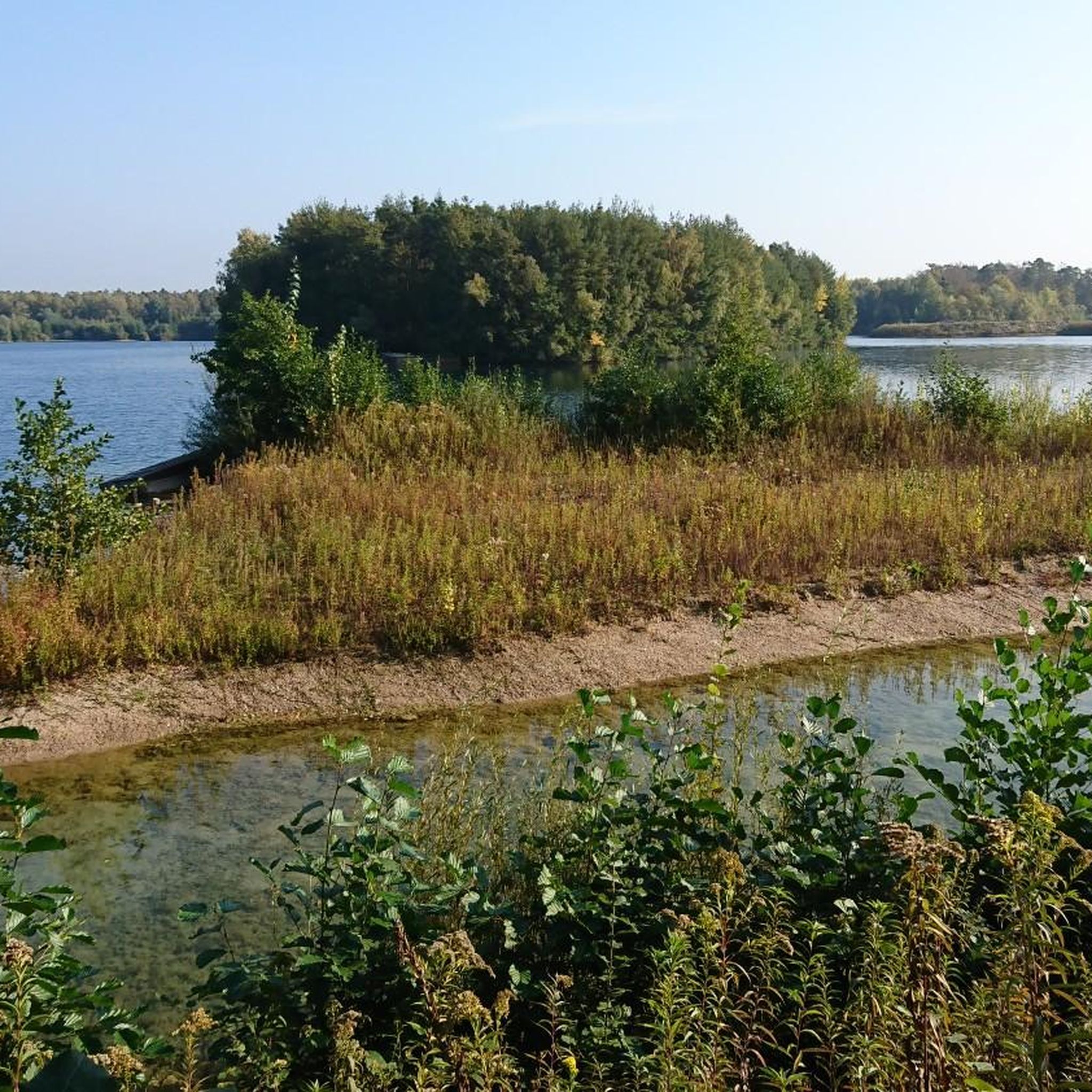
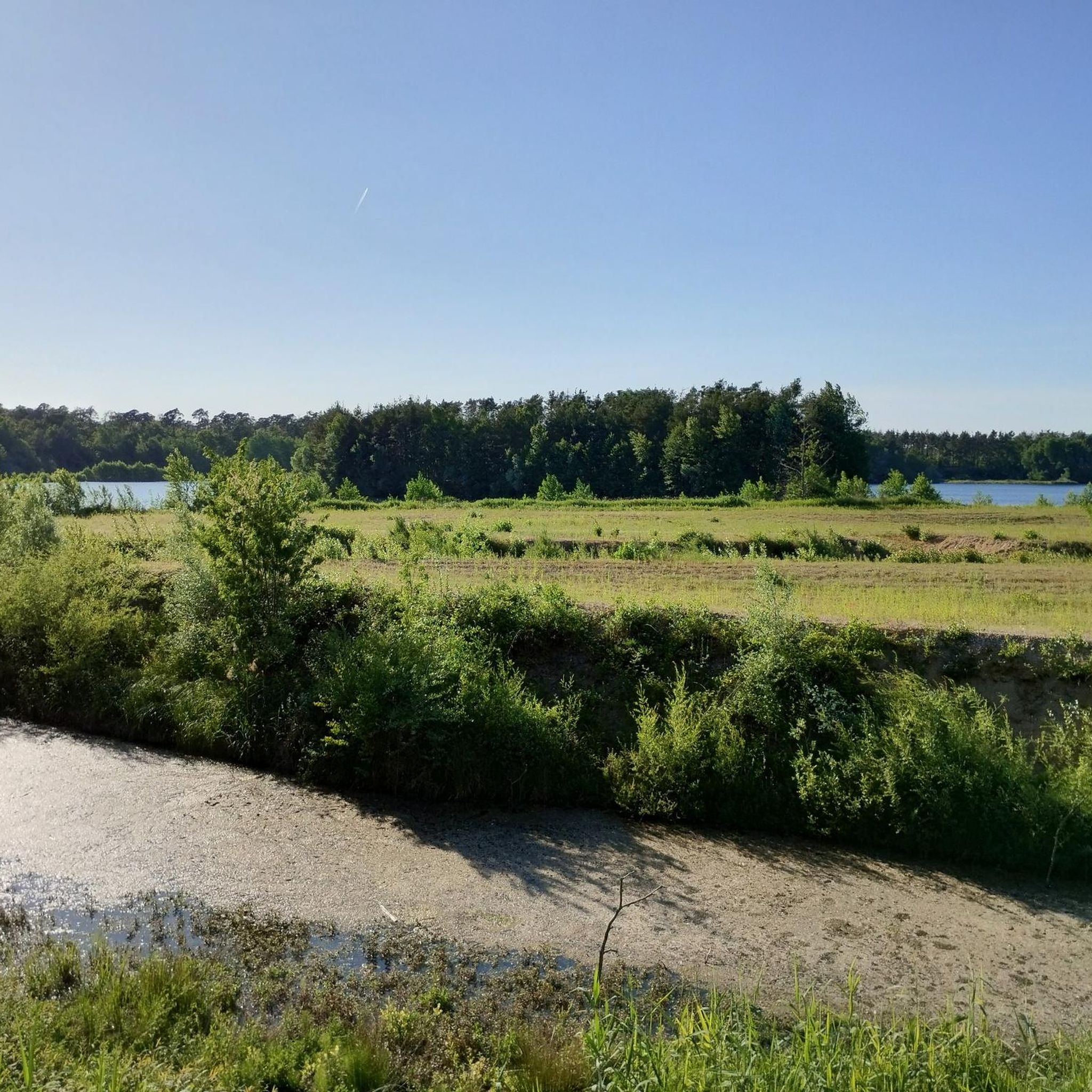
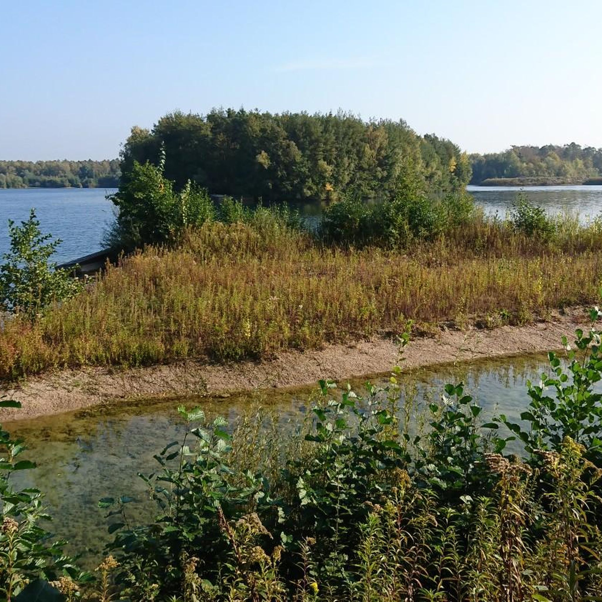
Gravel biking around Kohlplattenschlag offers routes through a unique landscape shaped by its history as a gravel mining site, now a nature reserve. The terrain is generally flat and sandy, featuring a lake, extensive reedbeds, and surrounding pine mixed forests. A circular trail provides access around the protected area, which is primarily focused on nature conservation and observation. This region provides a distinct gravel riding experience with its specific ecological characteristics.
Best gravel bike trails around Kohlplattenschlag
- The most popular…
Last updated: July 10, 2026
3.8
(4)
8
riders
Easy gravel ride. Great for any fitness level. Mostly paved surfaces. Suitable for all skill levels.
5.0
(3)
10
riders
Easy gravel ride. Great for any fitness level. Mostly paved surfaces. Suitable for all skill levels.

Sign up for free
4.7
(3)
18
riders
71.8km
03:38
140m
140m
Hard gravel ride. Good fitness required. You may need to push your bike for some segments of this route.
4.0
(2)
6
riders
28.0km
01:46
350m
350m
Hard gravel ride. Good fitness required. You may need to push your bike for some segments of this route.
4.0
(3)
12
riders
Moderate gravel ride. Good fitness required. Mostly paved surfaces. Suitable for all skill levels.
Get access to more routes and recommendations from other explorers.
Sign up for free
Already have an account?
Our route recommendations are based on thousands of hikes, rides, and runs completed by other people on komoot.
Start today with a free account
Your next adventure awaits.
Login or Signup
Tips from the Community

Narrow and amazingly high footbridge over an old Rhine arm. A little test of courage for those with a fear of heights 😉 Passable in May 2026 and not closed.
4
0
Small bridge over the renatured Alb canal with beautiful views over the canal.
1
0
Beautiful view of the Rhine. There is a ferry here, a restaurant with a beer garden that is well-frequented in summer, and plenty of parking spaces, often used by motorhomes.
4
0

Hut located on the Grabener Allee (the longest of the avenues radiating from the castle) from 1912 with a covered seating area. The Hirschgraben runs alongside the Allee to the Galgengraben (the Alte Bach). The two ditches meet at the picnic tables.
1
2
Beautiful path through the vineyards above Weingarten with panoramic views over the town and the Rhine valley.
2
0
After gravel extraction, the Giesen quarry lake was recultivated as a bathing and nature lake. The gently sloping beach and well-maintained lawns with sunny and shady areas are particularly convenient. Fishing is permitted only in the northern part, while diving is allowed within the southern bathing zone.
2
0

Nice atmosphere and good photo opportunities. Occasionally a bit too many cars, but of course only on the road leading to the restaurant.
0
0

It's located right next to the Gallows Ditch. I wonder where that got its name from??...
3
2
Frequently Asked Questions
How many gravel bike trails are available around Kohlplattenschlag?
There are over 140 gravel bike trails in the Kohlplattenschlag area. These routes cater to various skill levels, with options ranging from easy to difficult.
What kind of terrain can I expect on gravel bike trails near Kohlplattenschlag?
The terrain around Kohlplattenschlag is generally flat and sandy, reflecting its history as a gravel mining site. You'll ride through pine mixed forests, alongside extensive reedbeds, and past a lake, canals, and quarry ponds. The landscape offers a unique mix of natural and re-naturalized areas.
What is the overall difficulty level of gravel routes in the Kohlplattenschlag area?
The routes around Kohlplattenschlag offer a good mix of difficulties. You'll find approximately 36 easy routes, 76 moderate routes, and 29 more challenging options, ensuring there's something for every skill level.
Are there family-friendly gravel routes suitable for beginners around Kohlplattenschlag?
Yes, the flat and sandy terrain makes many routes suitable for families and beginners. For an easy introduction, consider the Saalbach Canal near Rußheim – Giesen quarry pond loop from Graben-Neudorf, which is 17.2 miles (27.6 km) long and explores the canal and a quarry pond.
Are there any circular gravel bike routes in the Kohlplattenschlag region?
Many of the gravel routes in the area are designed as loops. For example, the Old Swing Bridge to Rott Island – Old swing bridge to Rott Island loop from Graben-Neudorf offers a 24.6 miles (39.5 km) ride with views of the Old Swing Bridge and Rott Island.
What do other gravel bikers say about the routes around Kohlplattenschlag?
The gravel routes around Kohlplattenschlag are highly rated by the komoot community, with an average score of 4.6 stars from over 140 reviews. More than 800 gravel bikers have explored the area, often praising the unique natural setting and varied terrain.
Are there any scenic viewpoints or interesting landmarks along the gravel trails?
While the Kohlplattenschlag nature reserve itself is primarily focused on nature conservation and birdlife, offering three designated observation points, some routes in the wider area provide scenic views. For instance, the View of Speyer Cathedral – Beautiful route loop from Karlsdorf offers distant views of Speyer Cathedral.
What is the best season for gravel biking in Kohlplattenschlag?
Given the flat and sandy terrain, gravel biking around Kohlplattenschlag is enjoyable in most seasons. Spring and autumn offer pleasant temperatures and vibrant natural colors. Summer can be warm, but the forested sections provide shade. Winter riding is possible, but be prepared for potentially muddy or frozen conditions.
Are there any longer gravel routes for experienced riders?
Yes, for more experienced riders looking for a longer challenge, the Old pedestrian bridge on the canal – Alb Canal loop from Karlsdorf is a moderate 44.8 miles (72.1 km) trail that leads through the Alb Canal area.
Are dogs allowed on the gravel bike trails in the Kohlplattenschlag area?
While the Kohlplattenschlag nature reserve itself has strict regulations to protect wildlife, including restrictions on access, many surrounding gravel trails are generally dog-friendly. Always keep your dog on a leash, especially near nature reserves, and ensure you clean up after them. Check local signage for specific rules on individual routes.
Where can I park my car when visiting the Kohlplattenschlag area for gravel biking?
Parking options are typically available in the towns and villages surrounding the Kohlplattenschlag nature reserve, such as Graben-Neudorf or Karlsdorf, which serve as starting points for many routes. Look for designated public parking areas in these communities.
Are there any routes that pass by interesting bridges or waterways?
Yes, the region is characterized by its waterways. The Elisabethenwört Bridge – Saalbach Lowlands loop from Karlsdorf is a moderate 34.4 miles (55.4 km) route that takes you past the Elisabethenwört Bridge and through the Saalbach Lowlands.
Most popular routes around Kohlplattenschlag

Get inspired with the komoot mobile app


Explore more
Browse the best Gravel rides in other regions.
