The best running trails around Kohlplattenschlag
4.4
(491)
7,334
runners
561
runs
Jogging around Kohlplattenschlag offers a network of routes through relatively flat terrain, characterized by wooded areas and riverside paths. The region features natural landmarks such as the Heglach River and the Thick Oak Natural Monument, providing varied scenery for runners. With minimal elevation changes, these routes are suitable for a range of abilities.
Best jogging routes around Kohlplattenschlag
- The most popular jogging route is Thick Oak Natural Monument – Heglach River loop from Kohlplattenschlag, a 9.9 miles (15.9 km)…
Last updated: May 20, 2026
3.6
(8)
33
runners
Hard run. Very good fitness required. Mostly paved surfaces. Suitable for all skill levels.
4.0
(1)
30
runners
3.98km
00:25
10m
10m
Easy run. Great for any fitness level. Mostly paved surfaces. Suitable for all skill levels.

Sign up for free
10
runners
4.53km
00:28
10m
10m
Easy run. Great for any fitness level. Mostly paved surfaces. Suitable for all skill levels.
7
runners
5.93km
00:37
10m
10m
Moderate run. Good fitness required. Mostly paved surfaces. Suitable for all skill levels.
5
runners
6.52km
00:41
10m
10m
Moderate run. Good fitness required. Mostly paved surfaces. Suitable for all skill levels.
Get access to more routes and recommendations from other explorers.
Sign up for free
Already have an account?
Our route recommendations are based on thousands of hikes, rides, and runs completed by other people on komoot.
Start today with a free account
Your next adventure awaits.
Login or Signup
Tips from the Community

It's simply beautiful here!
1
0

There is a new and an old sports hall here. And handball is played here.
0
0

It's nice that the bridge exists. A level crossing would probably be too dangerous as trains run very fast here. But that's just a guess.
4
0

The approximately 280-year-old oak tree is dead, only a skeleton can be seen.
1
0

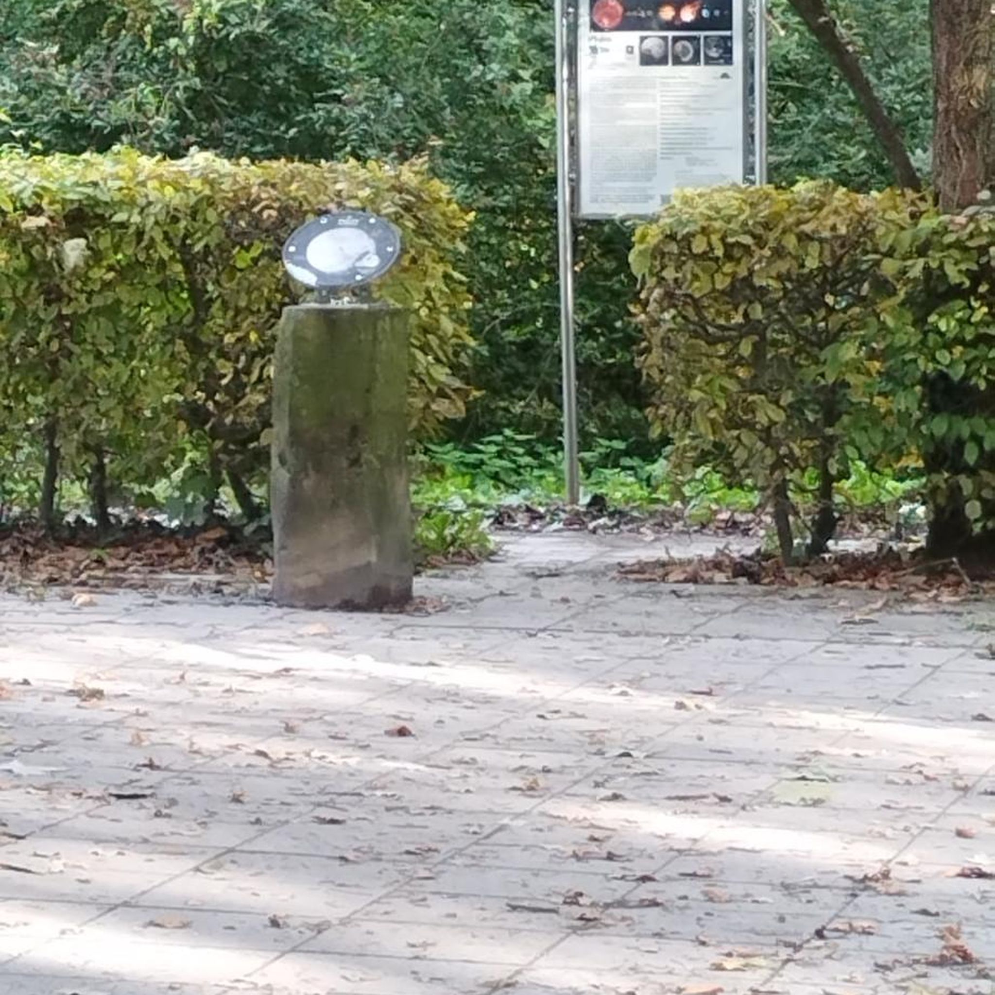
If today were April 1st, I would write that a UFO crashed there....
3
1

Here two small bridges lead over the Pfinz-Heglach and the old Bach
2
0

Refuge for a short break, if necessary. There are two benches. Not really an appealing ambience because of the "pseudo-grafitti", but it doesn't matter in the rain.
3
0

What a shame, drove by! Second attempt: Attention - there is a blackboard! then about 20 m into the forest - AHHHa
0
2
Frequently Asked Questions
How many running routes are available around Kohlplattenschlag?
There are over 560 running routes around Kohlplattenschlag, catering to various skill levels. You'll find a wide selection of easy, moderate, and difficult trails to explore.
Are there any easy or beginner-friendly running routes in Kohlplattenschlag?
Yes, Kohlplattenschlag offers numerous easy routes perfect for beginners or a relaxed run. For instance, the Giasing Shelter loop from Spöck is an easy 2.5-mile (4.0 km) path, and the Giasing Shelter loop from Kohlplattenschlag is another accessible option at 2.8 miles (4.5 km).
What kind of terrain can I expect on the running trails in this region?
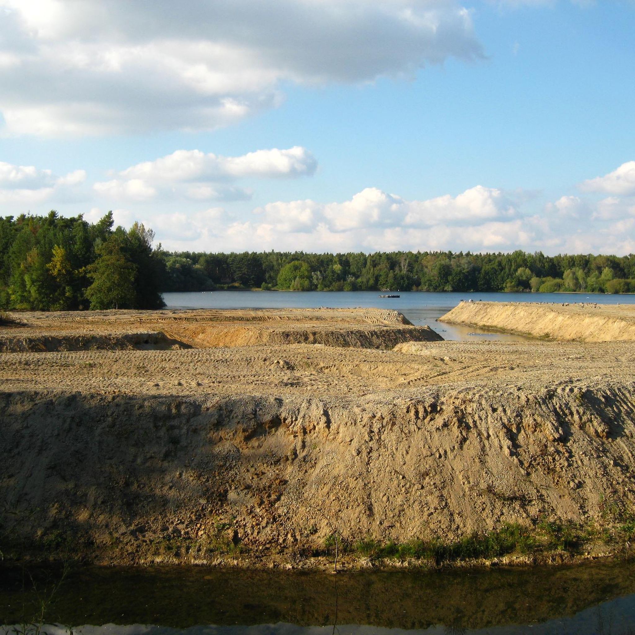
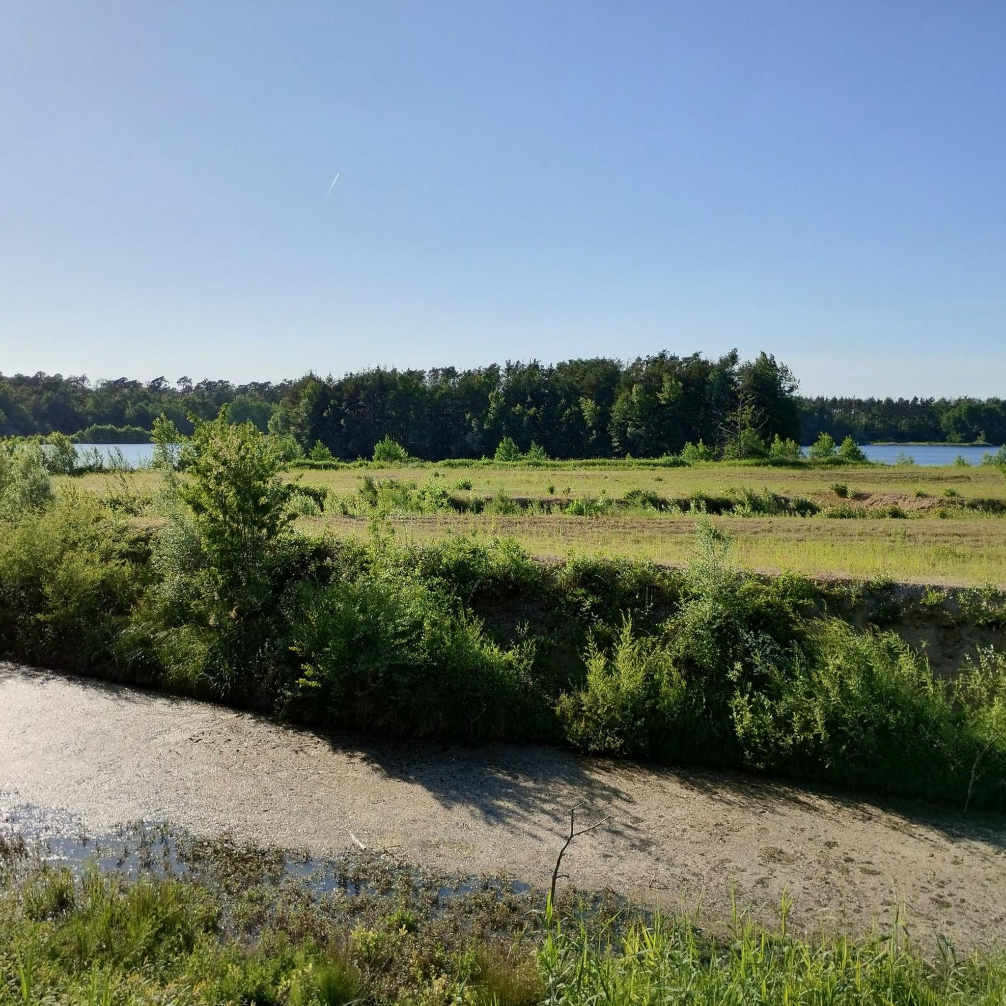
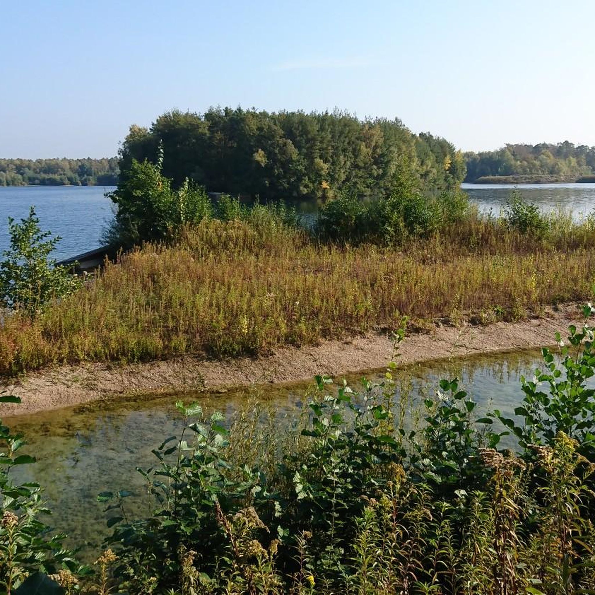
The running routes around Kohlplattenschlag are characterized by relatively flat terrain, featuring extensive wooded areas and scenic riverside paths, particularly along the Heglach River. The minimal elevation changes make most routes accessible and enjoyable.
Are there any circular running routes in Kohlplattenschlag?
Many of the running routes in Kohlplattenschlag are circular, offering convenient starting and ending points. A popular option is the Thick Oak Natural Monument – Heglach River loop from Kohlplattenschlag, which is a 9.9-mile (15.9 km) trail exploring natural features.
What natural landmarks or points of interest can I see while running?
While jogging, you can encounter natural landmarks such as the Heglach River and the Thick Oak Natural Monument. The routes often wind through varied scenery, providing a pleasant backdrop for your run.
Is Kohlplattenschlag suitable for family-friendly running or walks?
Given the region's generally flat terrain and numerous easy routes, Kohlplattenschlag is well-suited for family-friendly running or walks. Shorter, less challenging loops are ideal for families with children.
Can I bring my dog on the running trails in Kohlplattenschlag?
Many trails in natural areas like Kohlplattenschlag are dog-friendly, especially those through wooded areas and along rivers. It's always recommended to keep your dog on a leash and be mindful of local regulations and other trail users.
What do other runners think about the trails in Kohlplattenschlag?
The running routes in Kohlplattenschlag are highly regarded by the komoot community, boasting an average rating of 4.35 stars from over 470 reviews. Runners often praise the quiet woodlands, well-maintained paths, and the peaceful riverside sections.
Are there any moderate running routes for a longer workout?
Absolutely. For a more extended workout, consider routes like the Crucifix at the waterworks loop from Kohlplattenschlag, which is a moderate 4.0-mile (6.5 km) trail, or the Altenburg Hall loop from Kohlplattenschlag, a 3.7-mile (5.9 km) route through varied terrain.
What is the best time of year to go running in Kohlplattenschlag?
Kohlplattenschlag offers enjoyable running conditions throughout much of the year. Spring and autumn provide pleasant temperatures and beautiful scenery with changing foliage. Summer mornings and evenings are also ideal, while winter runs can be scenic, especially on cleared paths.
Are there options for parking near the running routes?
Yes, as a popular outdoor area, Kohlplattenschlag typically has designated parking areas near trailheads or accessible points, especially in and around the main village and popular starting locations for routes.
Can I reach the running trails using public transport?
Depending on your starting point, some running routes around Kohlplattenschlag may be accessible via local public transport connections. It's advisable to check local bus schedules or regional train services to nearby towns like Spöck or Karlsruhe, and then plan your route accordingly.
Most popular routes around Kohlplattenschlag

Get inspired with the komoot mobile app


Explore more
Browse the best Running Trails & Routes in other regions.
