The best gravel rides around Schlichemtalsperre
4.1
(12)
63
riders
11
rides
Gravel biking around Schlichemtalsperre offers diverse terrain, characterized by the deep Schlichem Gorge, varied rock formations, and extensive nature reserves. The region features a mix of unpaved tracks and natural trails, providing engaging experiences for gravel cyclists. The presence of the reservoir also contributes scenic water views, with accessible paths often found along its perimeter. This landscape provides a backdrop for rides that combine physical challenge with natural beauty.
Best gravel bike trails around Schlichemtalsperre
- The most popular gravel bike…
Last updated: July 2, 2026
5.0
(1)
8
riders
48.5km
03:05
790m
790m
Hard gravel ride. Very good fitness required. Mostly paved surfaces. Suitable for all skill levels.
Moderate gravel ride. Good fitness required. Mostly paved surfaces. Suitable for all skill levels.

Sign up for free
3.0
(1)
8
riders
46.7km
02:58
720m
720m
Hard gravel ride. Very good fitness required. Mostly paved surfaces. Suitable for all skill levels.
4.0
(1)
7
riders
24.6km
01:40
480m
480m
Hard gravel ride. Very good fitness required. Mostly paved surfaces. Suitable for all skill levels.
1
riders
11.1km
00:46
230m
240m
Moderate gravel ride. Good fitness required. Mostly paved surfaces. Suitable for all skill levels.
Get access to more routes and recommendations from other explorers.
Sign up for free
Already have an account?
Our route recommendations are based on thousands of hikes, rides, and runs completed by other people on komoot.
Start today with a free account
Your next adventure awaits.
Login or Signup
Popular around Schlichemtalsperre
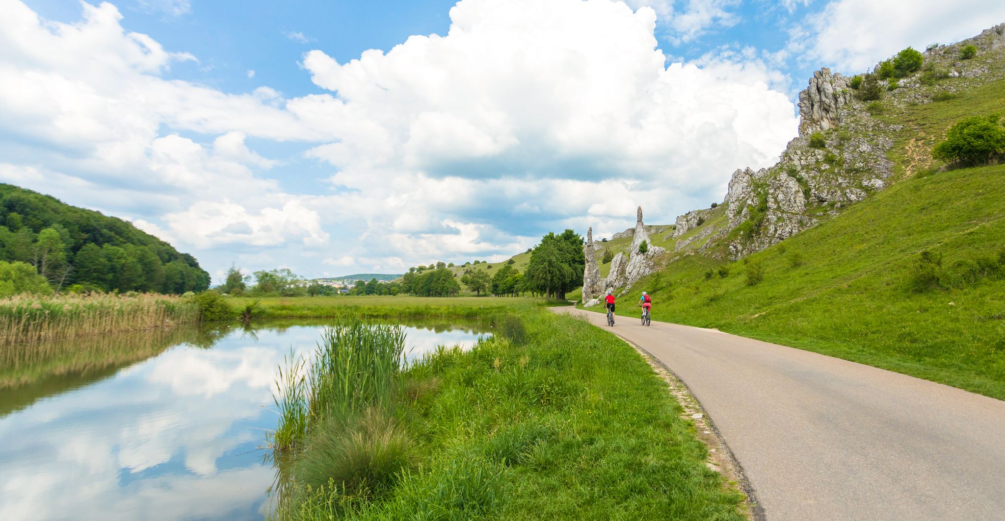
Feel the power of the water - cycling on the Swabian Alb
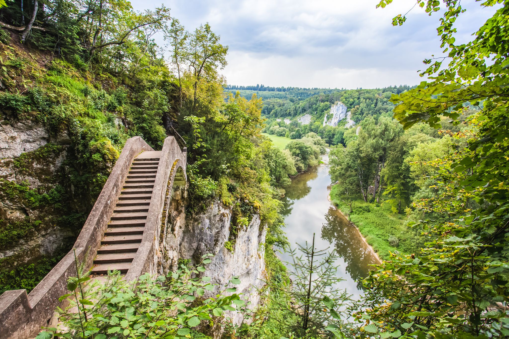
The Donau-Zollernalb-Weg in 10 stages – varied hikes through historic nature
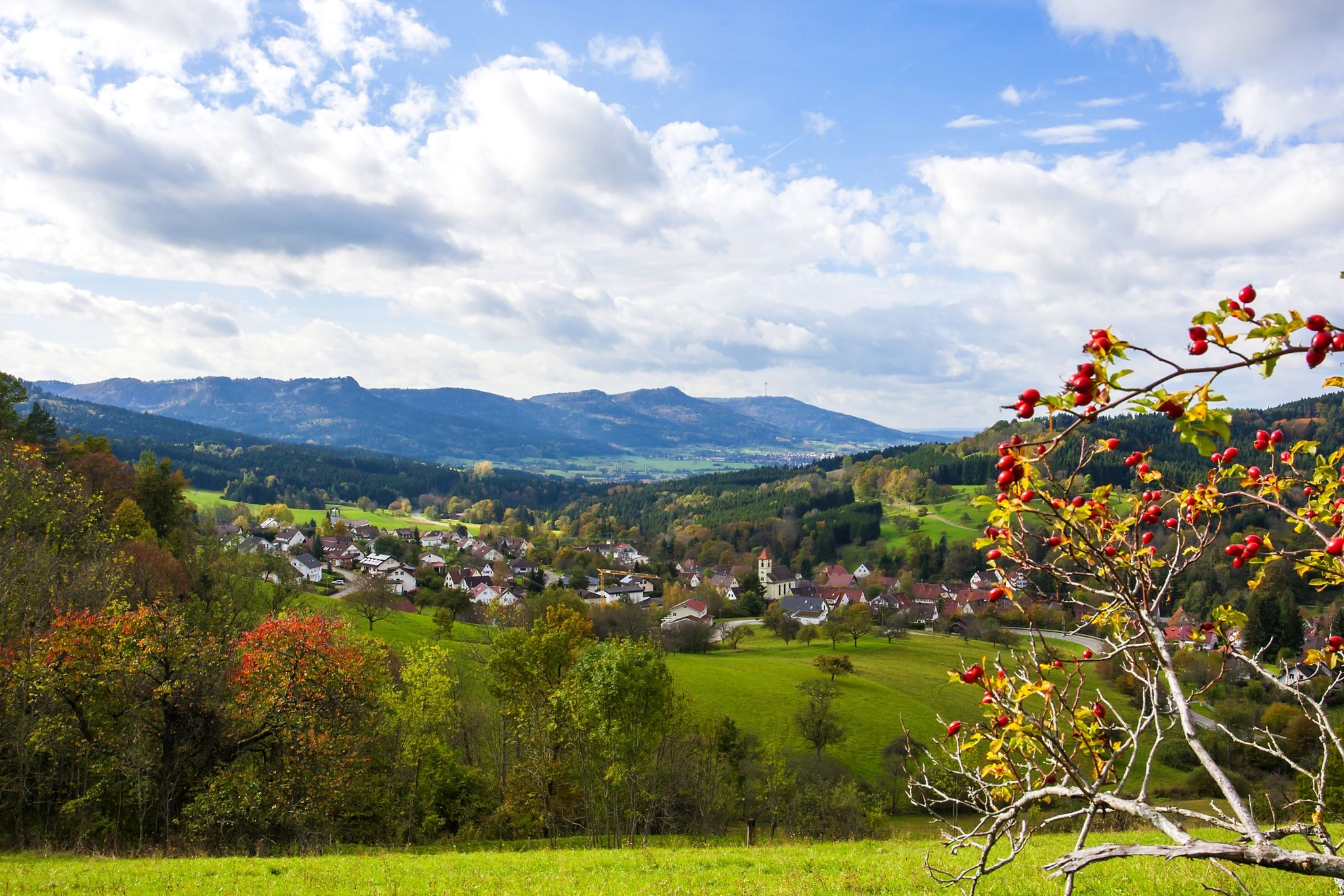
Ride in Germany’s Zollernalb – Albtrauf and Hohenzollern mountains
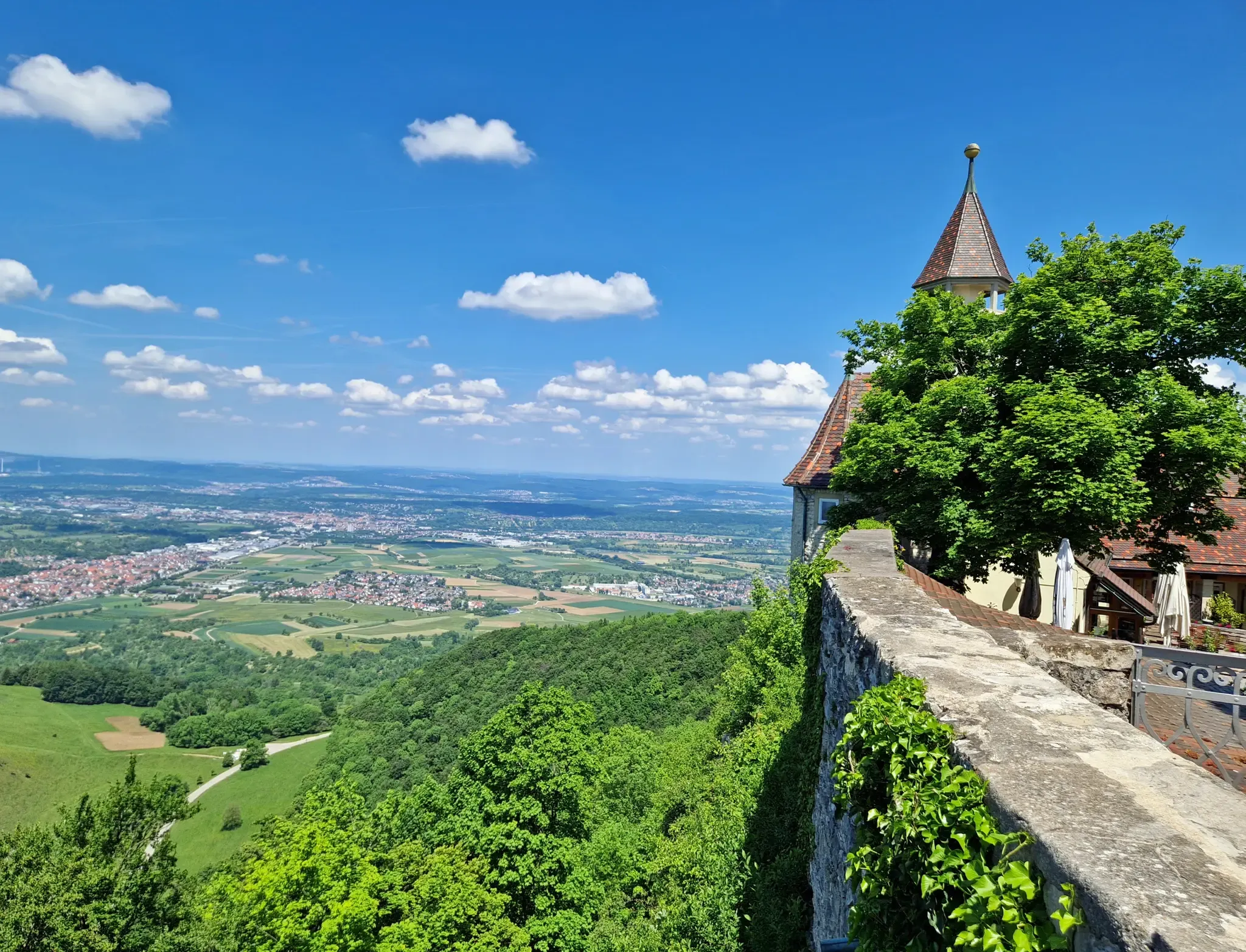
The Swabian Jura — castles, caves and trails
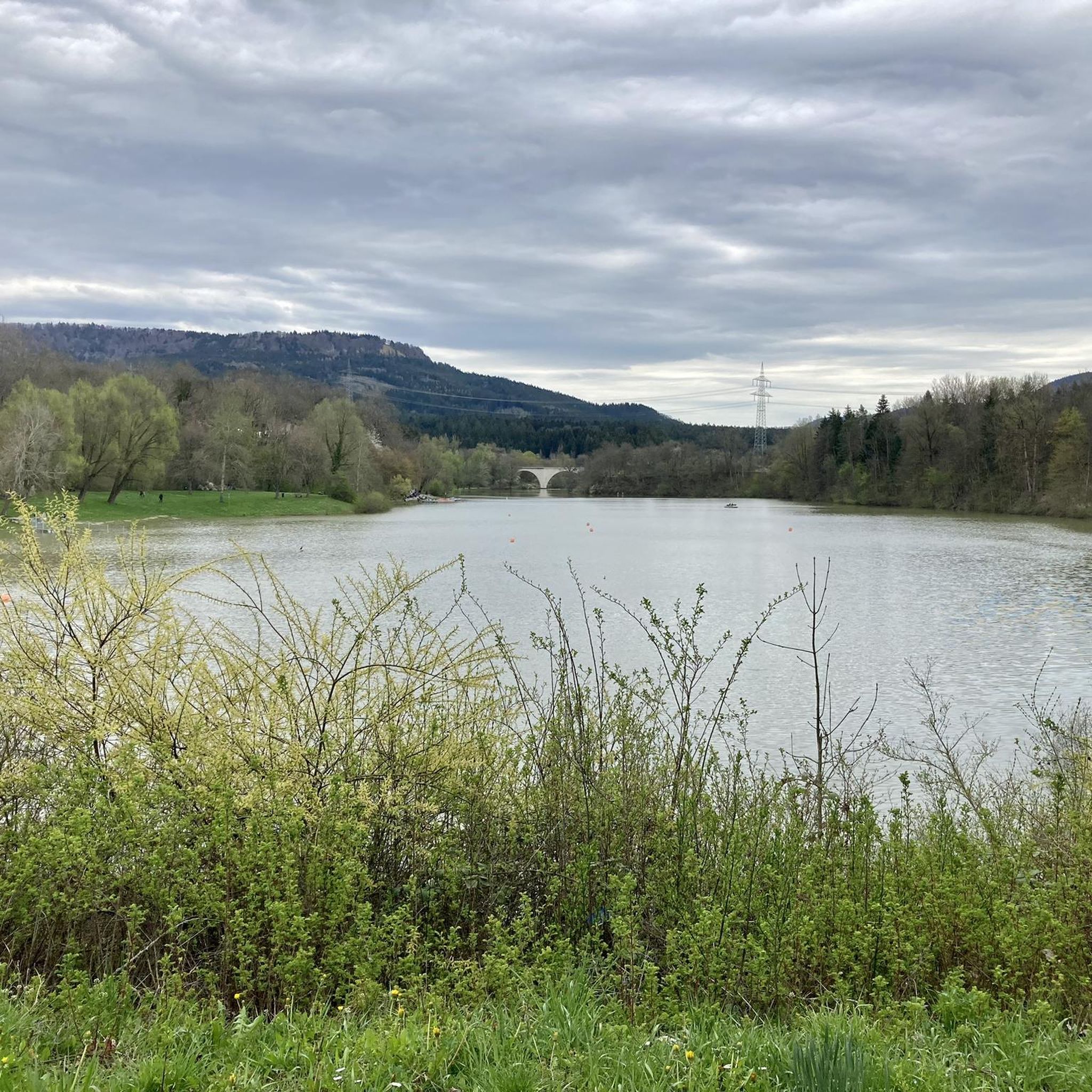
Cycling around Schlichemtalsperre
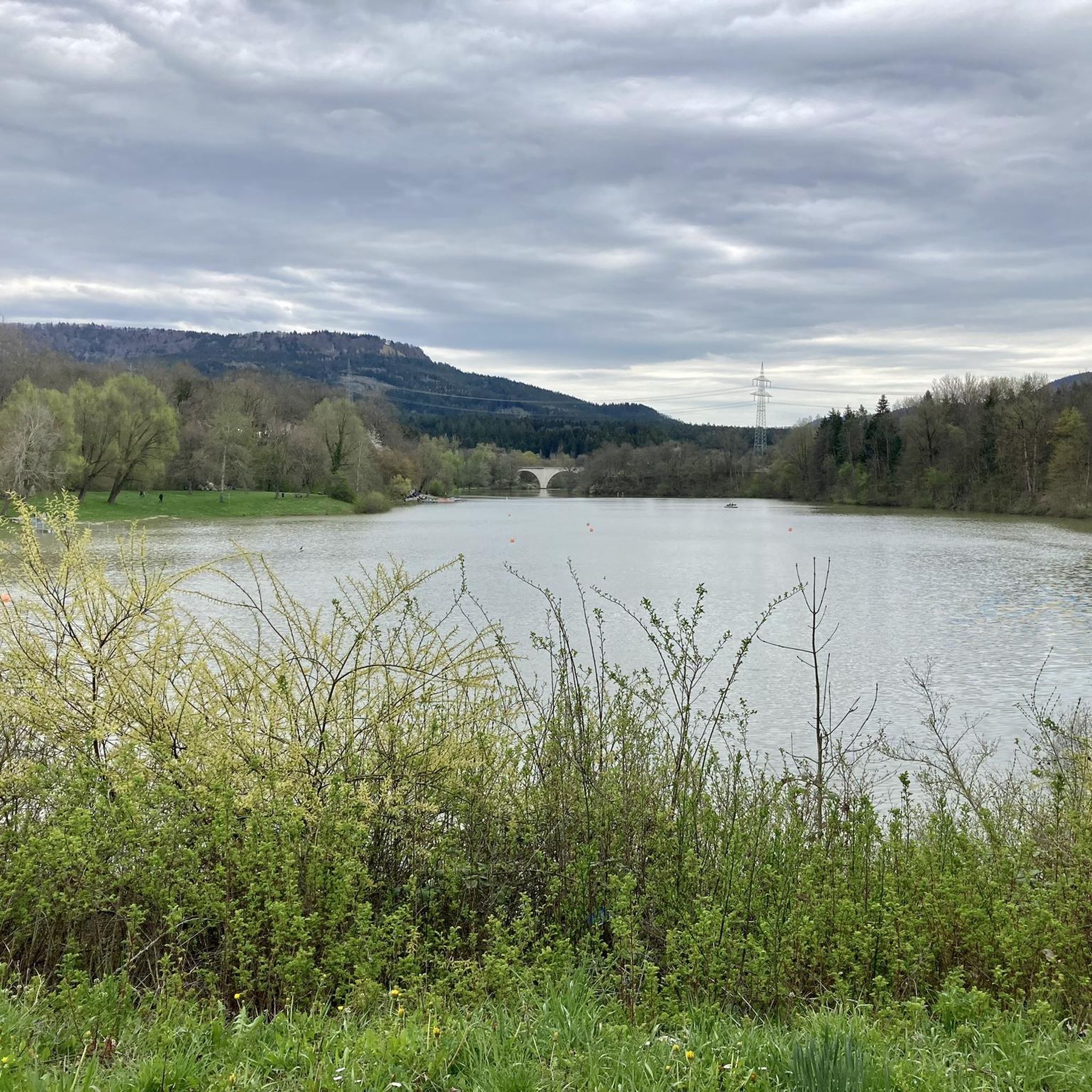
Hiking around Schlichemtalsperre
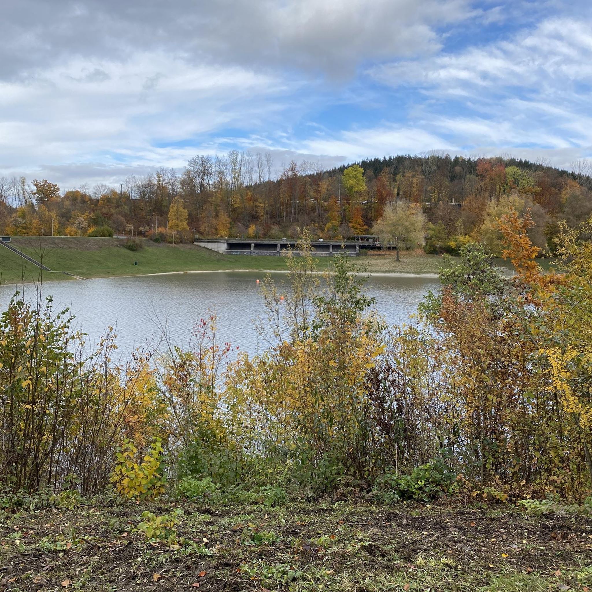
MTB Trails around Schlichemtalsperre
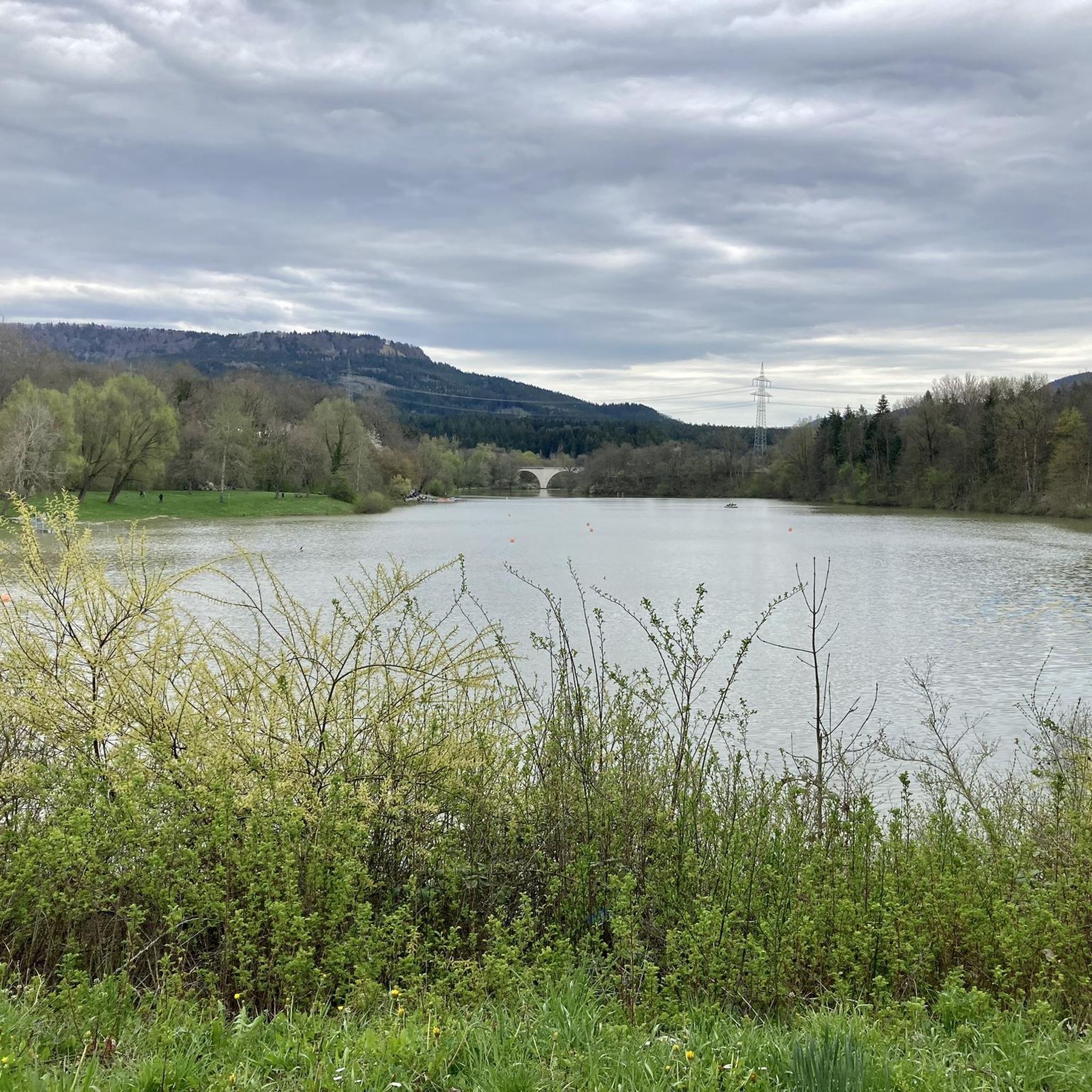
Road Cycling Routes around Schlichemtalsperre
Running Trails around Schlichemtalsperre
Other adventures around Schlichemtalsperre


Tips from the Community


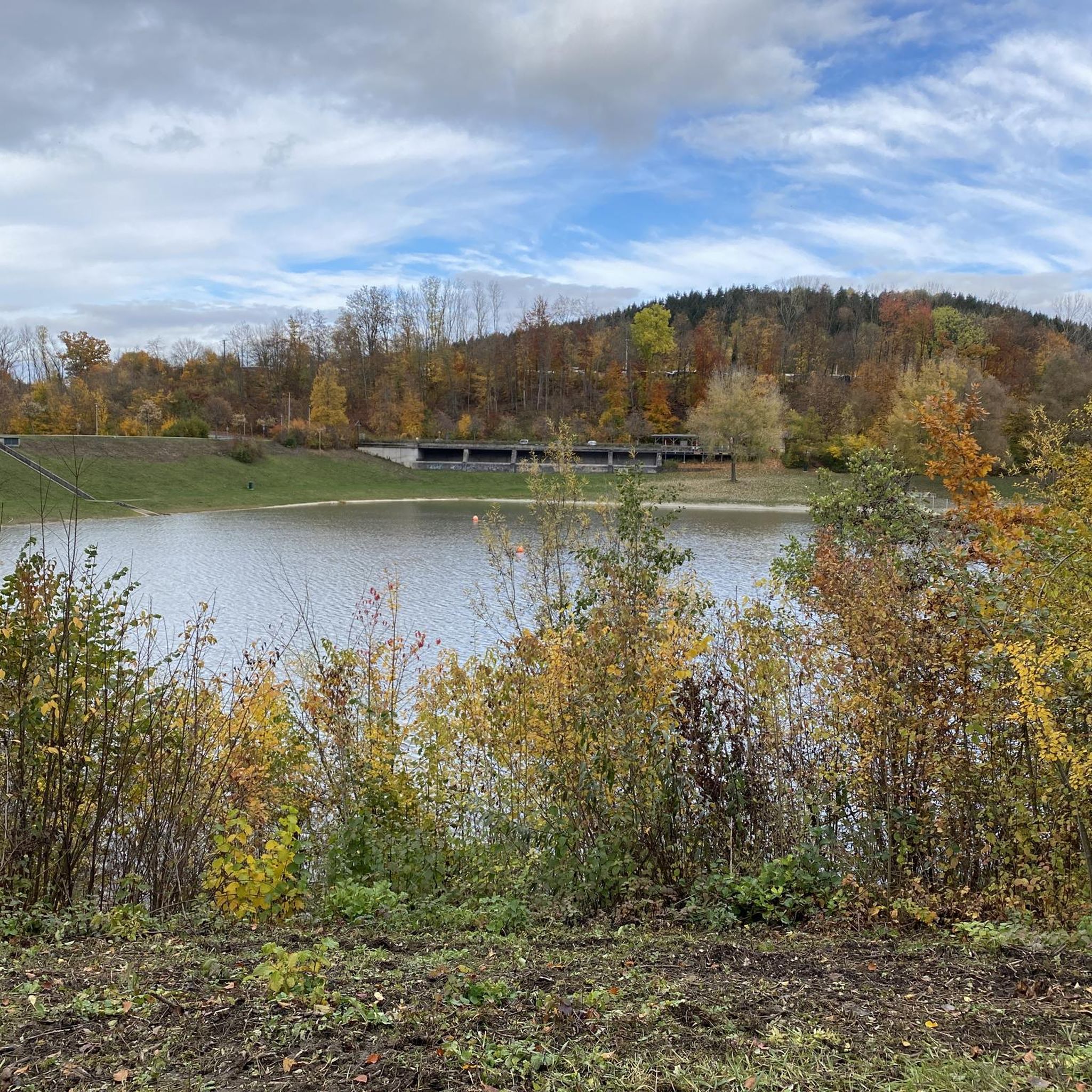
The Schlichemtalsperre (also Schömberger Stausee, usually just called Stausee locally) east of Schömberg in Baden-Württemberg dams the Schlichem, a tributary of the Neckar coming from the Swabian Jura. The 90.6-hectare Schömberger Stausee mit Palmbühl landscape protection area surrounds the Schlichemtalsperre. The approximately 1.35 km long and initially narrow reservoir, which widens to about 175 m towards the end, with an area of 10.4 hectares at 643.8 m above sea level, begins at the hamlet of Untere Säge and extends to the old town center of Schömberg. It has a catchment area of approximately 33.5 km², to which the Schlichem, which is already over 11 km long at the inflow, contributes almost 90%. The Hölzlegraben from the forest to the right of the lake and the Scheubühlgraben and Räßentälebach from the left flow into it. From the Vorsee forebay near the Untere Säge, a fish ladder leads to the reservoir. There is also the only bridge over the lake that can be walked and driven on. The Schlichem Viaduct can only be used by the railway. The Schlichemtalsperre was built between 1940 and 1944. The Portlandzementwerk Rudolf Rohrbach KG (today Holcim (Süddeutschland) GmbH) based in neighboring Dotternhausen, which was the client for the dam, initially used it for cooling water and electricity generation. An outdoor swimming pool built in 1935 was flooded. After the Second World War, the facility was taken over by the state of Württemberg-Hohenzollern in 1948. The reservoir was renovated from 1975 to 1983. The dam is an earth dam, and the hydropower plant within it has a capacity of 60 kW. There is a forebay, the Vorsee, which was built from 1975 to 1977. Source: https://de.wikipedia.org/wiki/Schlichemtalsperre
3
0
Schlichemtalsperre 🌊 - Fish ladder / Water ladder - Reservoir 🌊 - Schömberg - Zollernalbkreis
3
0

Chapel on the Ortenberg
7
0
The Roman Catholic parish church of St. Afra stands in Obernheim, a municipality in the Zollernalb district of Baden-Württemberg. The parish belongs to the Diocese of Rottenburg-Stuttgart. The building is listed as a historical monument by the State Office for the Preservation of Monuments in Baden-Württemberg. The hall church, originally built between 1753 and 1755 according to plans by Johann Caspar Bagnato, was incorporated into a new building in 1924 as a transept, based on a design by Wilhelm Friedrich Laur. The former nave, spanned by a barrel vault, and the chancel are decorated with frescoes by Giuseppe Appiani. The Assumption of Mary is depicted in the nave, and the Trinity in the chancel. Four Church Fathers are depicted on the pulpit parapet, and Saint Wendelin on the sounding board. The organ on the gallery was built in 1973 as Opus 149 by Stehle Orgelbau. Source: https://de.wikipedia.org/wiki/St._Afra_(Obernheim)
1
0
A suspension bridge is being built near the EKS Tower in Rottweil's old town, and it is scheduled to be inaugurated next year!
3
0

Good place to stop for a break 🥨🍺 near the reservoir 🌊 - Zollernalbkreis
7
0
Frequently Asked Questions
How many gravel bike trails are available around Schlichemtalsperre?
There are nearly 30 gravel bike routes available around Schlichemtalsperre, offering a diverse range of experiences for cyclists. These routes are highly rated by the komoot community, with an average score of 4.1 stars.
What is the general difficulty level of gravel biking routes in Schlichemtalsperre?
The gravel biking routes around Schlichemtalsperre primarily cater to moderate to difficult ability levels. You'll find 9 moderate routes and 20 difficult routes, ensuring a good challenge for experienced riders.
What kind of terrain can I expect on gravel bike trails in this region?
The Schlichemtalsperre region offers diverse terrain ideal for gravel biking. You can expect a mix of unpaved tracks and natural trails, winding through the impressive Schlichem Gorge with its varied rock formations, steppe heaths, and wet meadows. Many routes also feature scenic water views around the reservoir.
Are there any long-distance gravel routes for experienced riders?
Yes, for experienced riders looking for longer distances, routes like the Beeramühle – Bära Valley loop from Wehingen offer over 50 km of challenging terrain. Another excellent option is the View from Klippeneck – Klippeneck Plateau loop from Schömberg, which spans over 48 km with significant elevation changes.
Are there circular gravel bike routes available?
Many of the gravel routes around Schlichemtalsperre are designed as loops, allowing you to start and end at the same point. Examples include the Rottweil Old Town – View of Rottweil loop from Wehingen and the Sebastian Chapel Balgheim – Car tunnel loop from Wehingen, providing convenient options for your ride.
What are some notable landmarks or viewpoints I can see along the gravel routes?
Along the gravel routes, you can encounter several interesting sights. The Schömberg Reservoir and the Schlichem Dam offer picturesque water views. You might also pass by the Miniature village or the Schlichem Fish Ladder, adding cultural and natural points of interest to your ride.
Is there parking available for cyclists near the gravel trails?
While specific parking facilities for cyclists are not detailed, the popularity of cycling and hiking in the Schlichemtalsperre area suggests that parking is generally available near trailheads and popular starting points, especially around the reservoir and villages like Schömberg and Wehingen.
How can I access the gravel bike trails using public transport?
Information on specific public transport access points for cyclists is not readily available. However, given the region's focus on outdoor activities, it's advisable to check local bus or train schedules for connections to towns like Schömberg or Wehingen, which serve as common starting points for many routes.
Are there family-friendly gravel biking options around Schlichemtalsperre?
While many routes are rated moderate to difficult, the diverse terrain around Schlichemtalsperre may offer sections suitable for families, particularly around the reservoir where paths are often more accessible. For a dedicated family-friendly experience, look for shorter, less elevated sections or consider the Juniper Heath Lochen – View of Plettenberg loop from Weilstetten, which offers varied landscapes.
Can I bring my dog on the gravel bike trails?
The Schlichemtal Nature Reserve and surrounding areas are generally welcoming to dogs, provided they are kept on a leash to protect local wildlife and ensure the safety of other trail users. Always check local signage for specific regulations in protected areas.
Where can I find refreshments or accommodation near the gravel bike routes?
You'll find options for refreshments and accommodation in the towns and villages surrounding Schlichemtalsperre, such as Schömberg and Wehingen. Along the routes, you might encounter places like the Waldschenke at Schömberg Reservoir or a Kiosk with seating and toilet, perfect for a break during your ride.
What is the best season for gravel biking in Schlichemtalsperre?
The diverse terrain and natural beauty of Schlichemtalsperre make it enjoyable for gravel biking throughout the warmer months, from spring to autumn. Spring offers lush greenery, while autumn provides stunning foliage. Summer is also excellent, but be mindful of potential heat on exposed sections. Always check local weather conditions before heading out.
Most popular routes around Schlichemtalsperre
Most popular attractions around Schlichemtalsperre

Get inspired with the komoot mobile app


Explore more
Browse the best Gravel rides in other regions.
