The best gravel rides around Dreilägerbachtalsperre
4.7
(143)
1,138
riders
74
rides
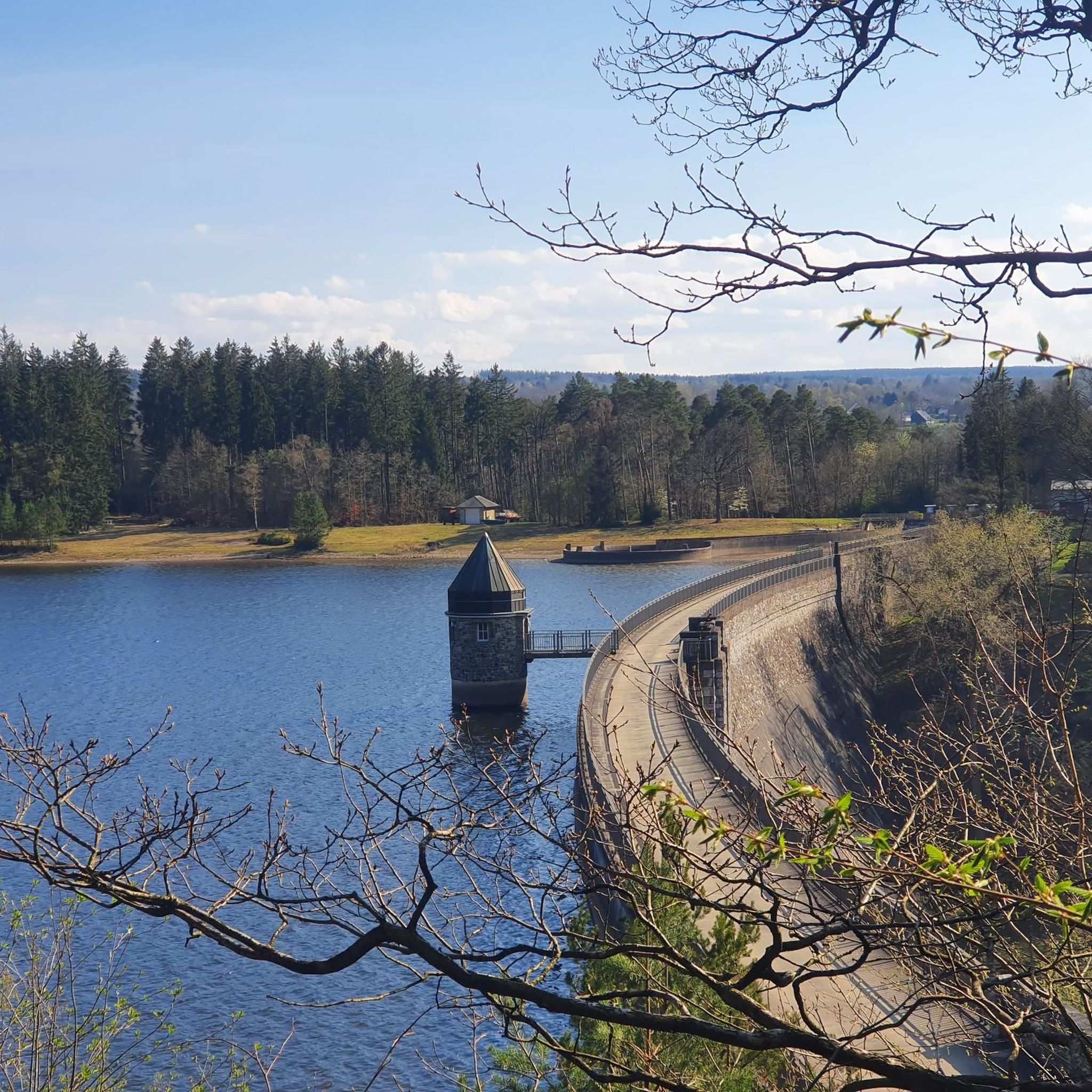
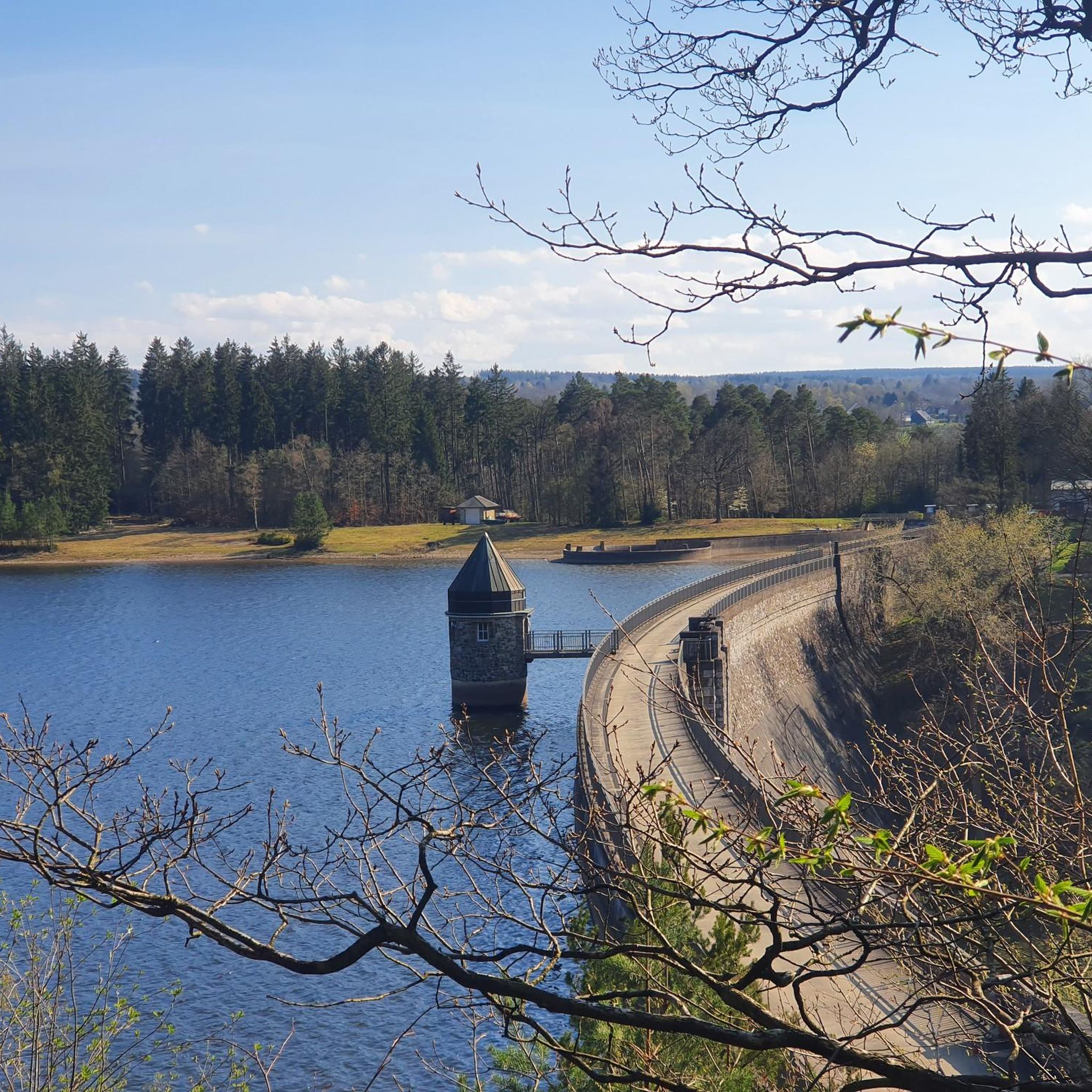
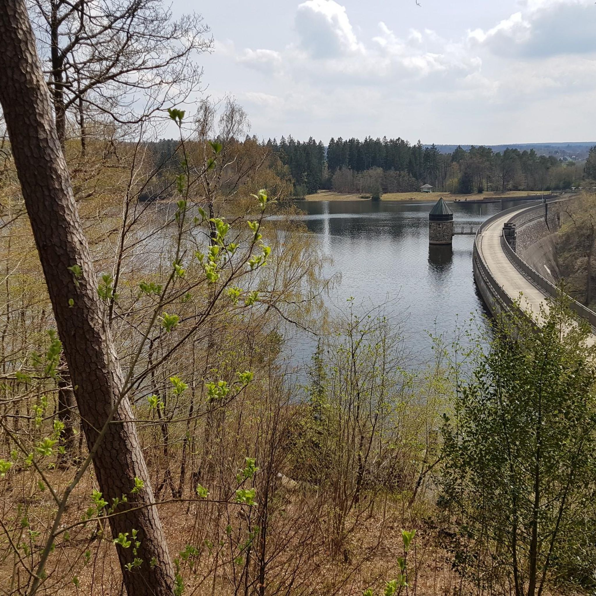
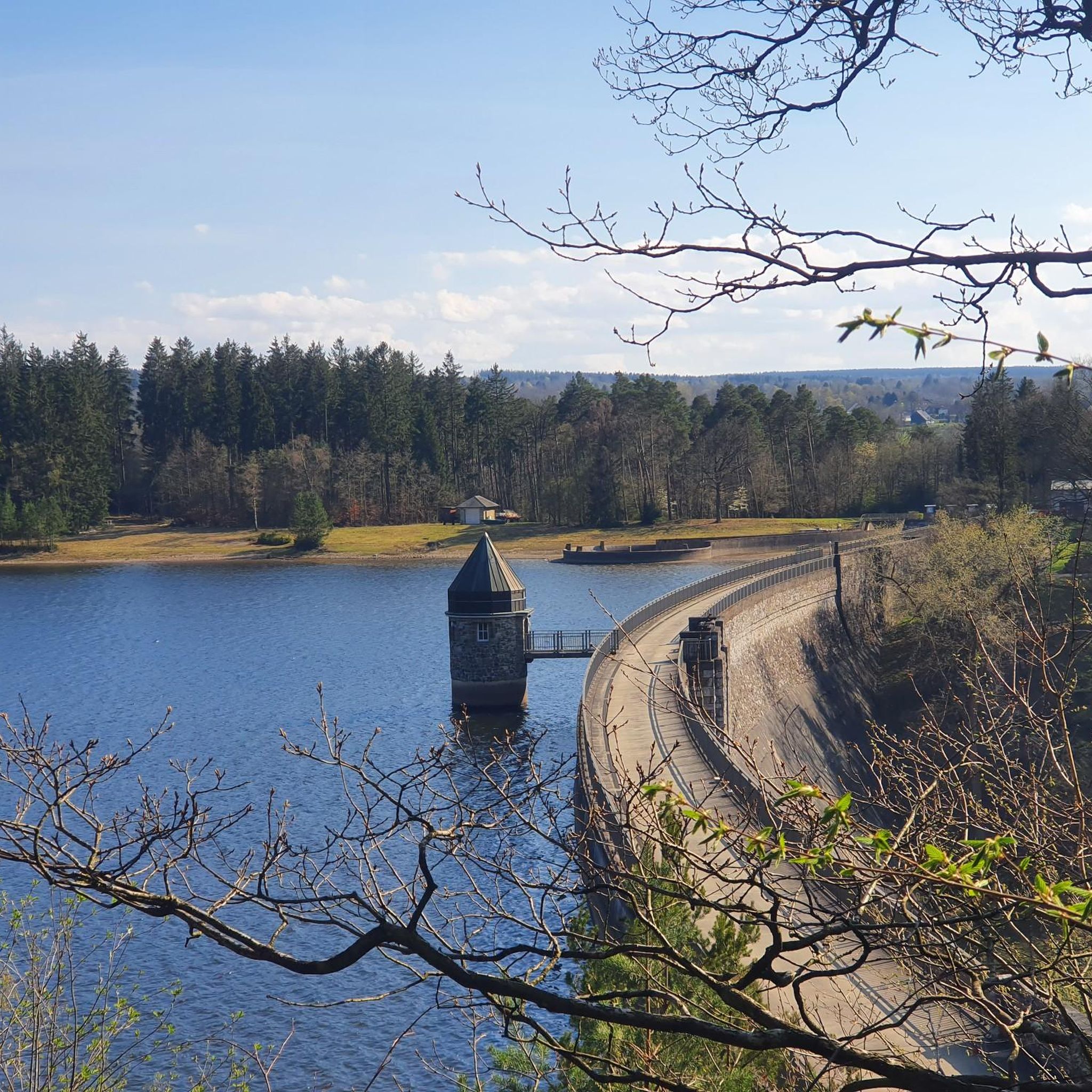
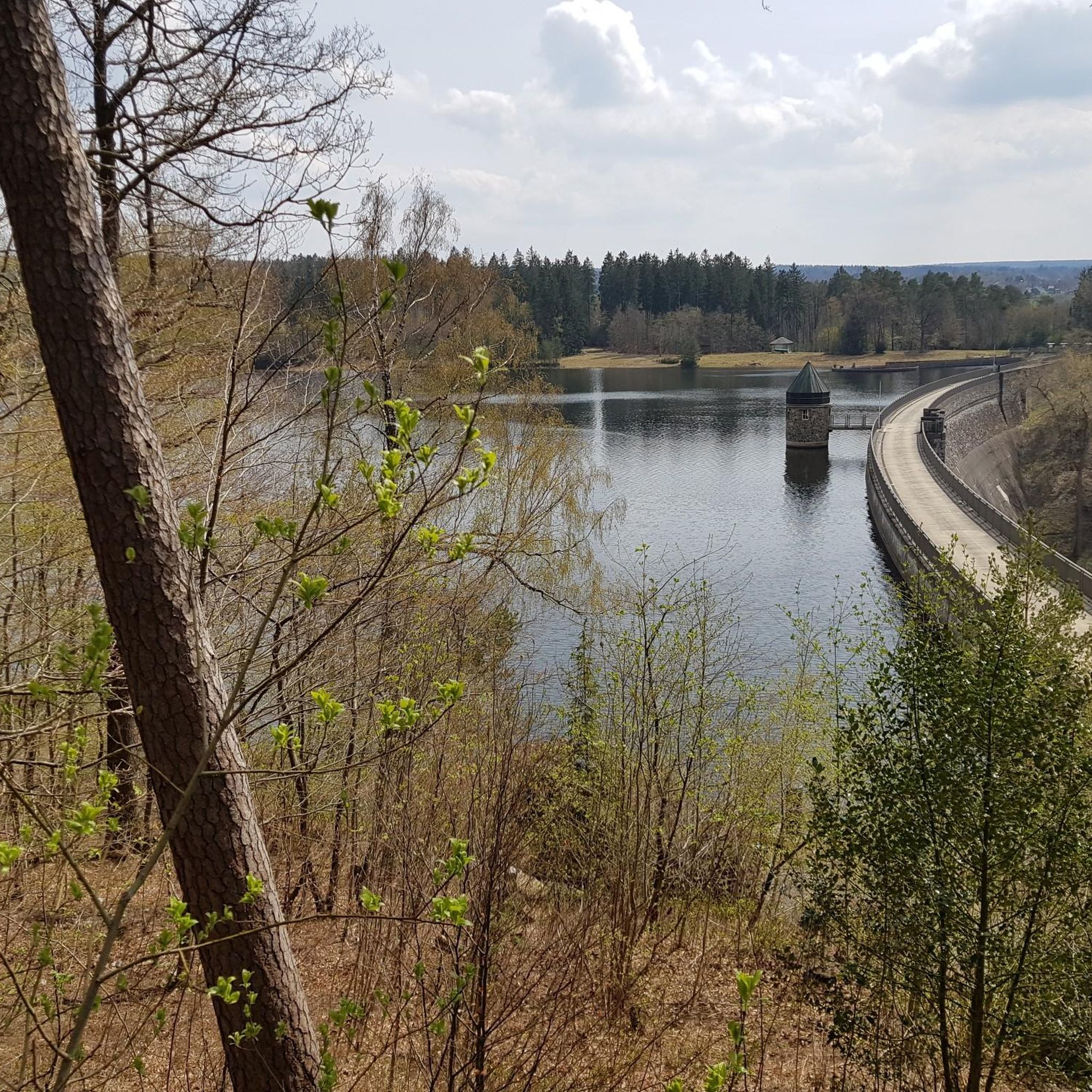
Gravel biking around Dreilägerbachtalsperre offers a network of routes through forested areas, past reservoirs, and along former railway lines. The region is characterized by its varied terrain, including sections through the Münsterwald and paths connecting several dams and water bodies. Elevations vary, providing both moderate and more challenging climbs for gravel riders.
Best gravel bike trails around Dreilägerbachtalsperre
- The most popular gravel bike trail is Vennbahn Near Lammersdorf – Root trail in the Münsterwald loop from Roetgen, a 17.0 miles (27.3 km) trail that takes 1 hour 55 minutes to complete, featuring forest paths and a moderate difficulty.
- Another top favourite among local gravel bikers is Gravel riding between dams – forests, water, vast views, a difficult 27.1 miles (43.6 km) path. This route offers expansive views and traverses forests and water features.
- Local gravel bikers also love the Kall Reservoir – Kall Reservoir loop from Roetgen, a 27.8 miles (44.8 km) trail leading through the area around the Kall Reservoir, often completed in about 2 hours 38 minutes.
- Gravel biking around Dreilägerbachtalsperre is defined by dense woodlands, reservoir paths, and former railway routes. The network offers options for different ability levels, from moderate to difficult.
- The routes in Dreilägerbachtalsperre are highly rated by the komoot community with an average score of 4.75 stars from over 200 reviews. More than 1,800 gravel bikers have used komoot to explore Dreilägerbachtalsperre's varied terrain.
Last updated: July 8, 2026
4.3
(6)
28
riders
43.6km
04:01
730m
730m
Hard gravel ride. Very good fitness required. Mostly paved surfaces. Suitable for all skill levels.
4.6
(5)
16
riders
45.4km
02:35
520m
520m
Hard gravel ride. Very good fitness required. Mostly paved surfaces. Suitable for all skill levels.

Sign up for free
5.0
(5)
14
riders
27.3km
01:36
320m
320m
Moderate gravel ride. Good fitness required. Mostly paved surfaces. Suitable for all skill levels.
7
riders
95.4km
05:59
1,360m
1,360m
Hard gravel ride. Very good fitness required. Mostly paved surfaces. Suitable for all skill levels.
4.0
(1)
6
riders
68.2km
04:29
1,070m
1,070m
Hard gravel ride. Very good fitness required. You may need to push your bike for some segments of this route.
Get access to more routes and recommendations from other explorers.
Sign up for free
Already have an account?
Our route recommendations are based on thousands of hikes, rides, and runs completed by other people on komoot.
Start today with a free account
Your next adventure awaits.
Login or Signup
Tips from the Community

Very nicely developed cycle path without significant gradients.
1
0

Nice paved path. Unfortunately, an asphalt dead end. The connection towards Simonskall is a surfaced forest path with manageable gravel. However, I recommend only riding uphill from Simonskall, downhill is too fast, too little enjoyment, too many desperate prayers.
0
0


Four kilometers from the center of Eupen, it rises above the confluence of the Weser and Getzbach rivers
2
0
Beautiful cycle path along the Rursee
0
0

Very slippery yesterday. Drive carefully.
1
0
Frequently Asked Questions
What kind of terrain can I expect on gravel bike trails around Dreilägerbachtalsperre?
The region offers a diverse mix of terrain, including forested paths, sections along former railway lines like the Vennbahn, and routes that traverse past several reservoirs and water bodies. You'll encounter varied elevations, providing both moderate climbs and more challenging ascents.
Are there easy gravel bike trails suitable for beginners in the Dreilägerbachtalsperre area?
Yes, there are several options for beginners. The region features 5 easy routes, and 36 moderate routes that can be a good starting point. For a moderate introduction, consider the Vennbahn Near Lammersdorf – Root trail in the Münsterwald loop from Roetgen, which is 27.3 km long and offers pleasant forest paths.
Where can I find circular gravel bike routes around Dreilägerbachtalsperre?
Many of the gravel routes in the area are designed as loops, allowing you to start and finish at the same point. A popular option is the Kall Reservoir – Kall Reservoir loop from Roetgen, which is a 44.8 km trail exploring the area around the reservoir.
Are there challenging gravel bike routes for experienced riders?
Absolutely. The Dreilägerbachtalsperre region boasts 55 difficult routes for those seeking a challenge. A highly-rated difficult route is Gravel riding between dams – forests, water, vast views, spanning 43.6 km with significant elevation changes and expansive vistas.
What are the best times of year for gravel biking in Dreilägerbachtalsperre?
Spring and autumn generally offer the most pleasant conditions for gravel biking, with mild temperatures and beautiful scenery as the foliage changes. Summer can also be great, especially on shaded forest paths. While winter riding is possible, be prepared for potentially muddy or icy conditions, especially on unpaved sections.
Are there any routes that pass by notable landmarks or scenic points?
Many routes offer scenic views of the reservoirs and dense woodlands. For a route that takes you past another significant water body, try the Prossent Trail – Eupen Reservoir (Wesertalsperre) loop from Roetgen, which explores the area around the Eupen Reservoir.
What do other gravel bikers say about the trails in Dreilägerbachtalsperre?
The komoot community highly rates the gravel biking experience here, with an average score of 4.75 stars from over 200 reviews. Riders often praise the varied terrain, the beauty of the forest and reservoir paths, and the well-maintained nature of many routes.
Are there any gravel routes that are particularly suitable for families?
For families, routes that utilize former railway lines, like sections of the Vennbahn, tend to be flatter and more accessible. The moderate routes, such as the Vennbahn Cycle Path – Hohes Venn Nature Reserve loop from Roetgen (27.3 km), offer a good balance of distance and manageable terrain for a family outing.
How many gravel bike trails are available in the Dreilägerbachtalsperre region?
There are over 90 gravel bike trails available in the Dreilägerbachtalsperre region, catering to various skill levels from easy to difficult.
Is it possible to access the gravel bike trails around Dreilägerbachtalsperre using public transport?
While specific public transport connections directly to trailheads can vary, many routes start or pass through towns like Roetgen, which often have bus connections. It's advisable to check local bus schedules to plan your approach to the starting points of the trails.
Are there opportunities for cafe stops or refreshments along the gravel routes?
Many routes pass through or near small towns and villages where you can find cafes, bakeries, or restaurants for a break and refreshments. Planning your route with komoot allows you to identify potential stops along the way.
What should I wear for gravel biking in Dreilägerbachtalsperre?
Given the varied terrain and potential for changing weather, layered clothing is recommended. Padded shorts, a moisture-wicking base layer, and a windproof/water-resistant jacket are essential. Sturdy gravel-specific shoes and gloves will also enhance your comfort and grip.
Most popular routes around Dreilägerbachtalsperre

Get inspired with the komoot mobile app


Explore more
Browse the best Gravel rides in other regions.
