The best road cycling routes around Dreilägerbachtalsperre
4.3
(290)
3,687
riders
85
rides
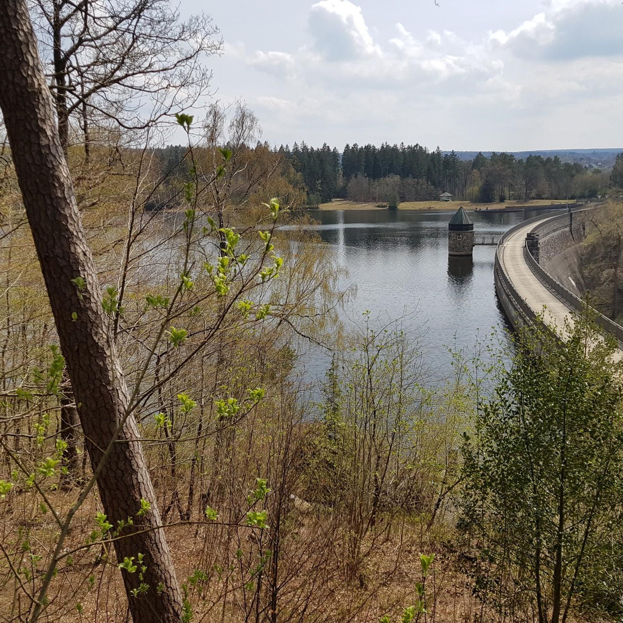
Road cycling routes around Dreilägerbachtalsperre offer diverse terrain within the Eifel region, characterized by the dam itself, forested areas, and varying elevation changes. The area features well-maintained asphalted paths, including a section along Jägerhausstraße, and repurposed old streets that provide traffic-free climbs. These conditions cater to different fitness levels, with routes incorporating smooth riding surfaces. The Dreilägerbachtalsperre is situated near the Hohes Venn-Eifel Nature Park, providing a rich natural backdrop for outdoor activities.
Best road cycling routes around Dreilägerbachtalsperre
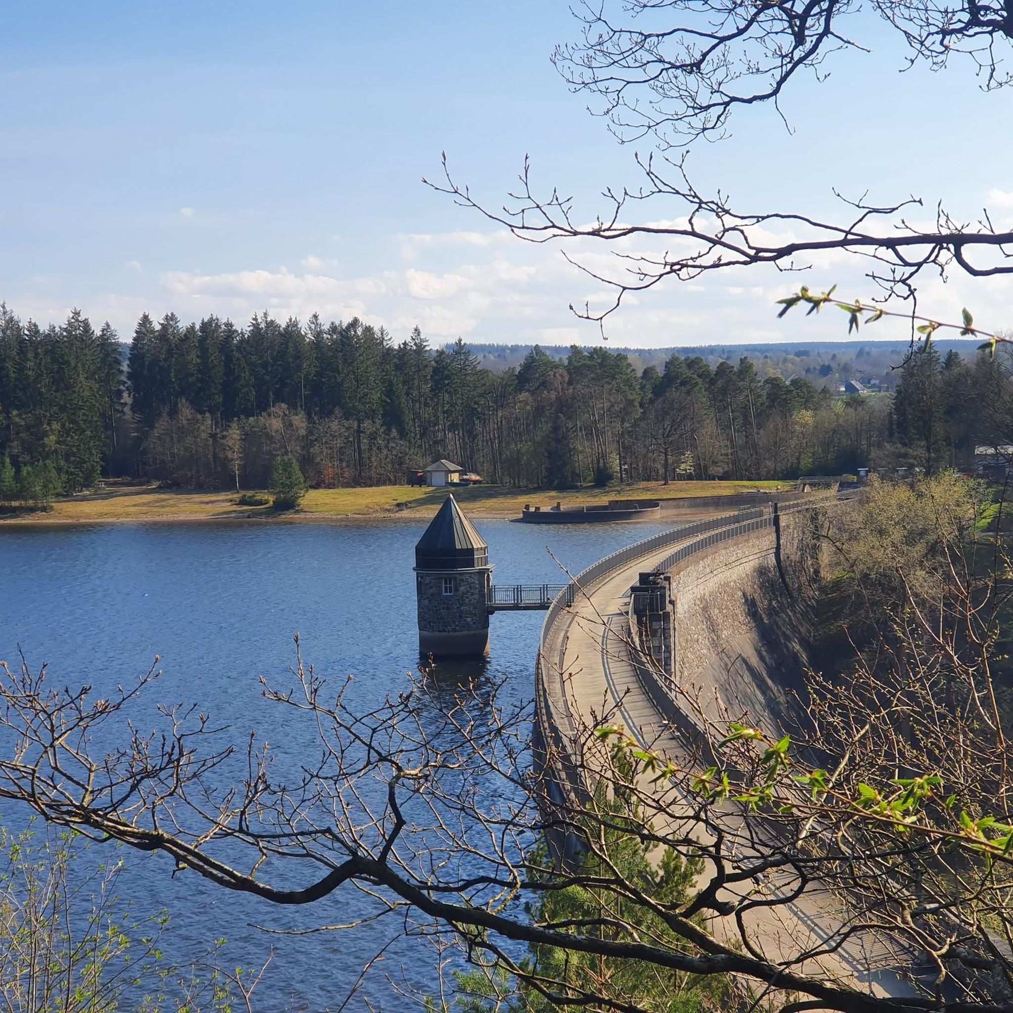
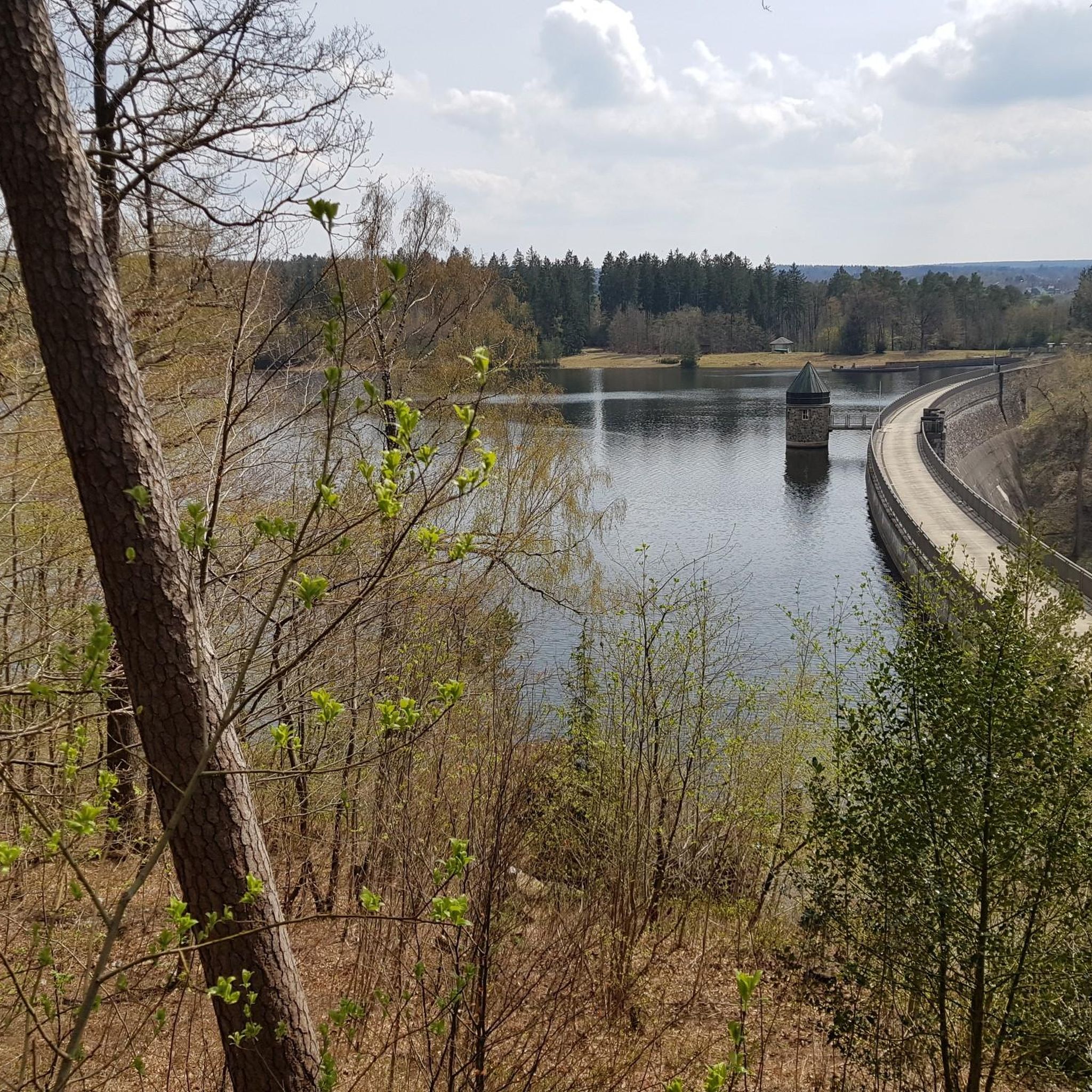
- The most popular road cycling route is View of the Dreilägerbach Dam – Old Raeren Station loop from Rott, a 21.8 miles (35.2 km) trail that takes 1 hour 30 minutes to complete. This moderate route features views of the historic dam and follows an old railway line.
- Another top favourite among local road cyclists is Simonskall Climb – View of Rursee loop from Roetgen, a moderate 40.1 miles (64.5 km) path. This route includes a significant climb and offers expansive views towards the Rursee.
- Local road cyclists also love the Rollefbach Viaduct – Vennbahn Rail Trail loop from Roetgen, a 36.9 miles (59.4 km) trail leading through varied landscapes, often completed in about 2 hours 31 minutes.
- Road cycling around Dreilägerbachtalsperre is defined by the impressive dam structure, forested areas, and the broader Eifel region's rolling hills. The network offers options for easy, moderate, and difficult routes, accommodating different ability levels.
- The routes in Dreilägerbachtalsperre are highly rated by the komoot community with an average score of 4.5 stars from more than 350 reviews. More than 4,900 road cyclists have used komoot to explore Dreilägerbachtalsperre's varied terrain.
Last updated: July 8, 2026
4.6
(9)
130
riders
35.2km
01:30
330m
330m
Moderate road ride. Good fitness required. Mostly well-paved surfaces and easy to ride.
4.7
(6)
97
riders
64.5km
03:05
870m
870m
Moderate road ride. Good fitness required. Mostly well-paved surfaces and easy to ride.

Sign up for free
5.0
(1)
29
riders
30.1km
01:23
370m
370m
Moderate road ride. Good fitness required. Mostly well-paved surfaces and easy to ride.
17
riders
37.9km
01:47
500m
500m
Moderate road ride. Good fitness required. Mostly well-paved surfaces and easy to ride.
4.5
(2)
10
riders
Easy road ride. Great for any fitness level. Mostly well-paved surfaces and easy to ride.
Get access to more routes and recommendations from other explorers.
Sign up for free
Already have an account?
Our route recommendations are based on thousands of hikes, rides, and runs completed by other people on komoot.
Start today with a free account
Your next adventure awaits.
Login or Signup
Tips from the Community

The Vennbahn is one of the longest cycle paths along disused railway lines in Europe. It leads through 3 countries, is completely asphalted and has only slight inclines.
0
0

A very nice, quiet descent that should be enjoyed.
1
0

long and magnificent paved road in the heart of nature
0
0

This wayside shrine dates from the 18th century and is located on the main street in Roetgen. This shrine is also known locally as "Geeßetempel" (meat temple) and is one of three remaining Stations of the Cross (an early form of the Seven Stations of the Cross).
0
0

Very nice bike path with good asphalt.
1
0

nice Marienkapelle in the old town center of Roetgen
0
0

Great asphalt, unfortunately it's borderline busy. Going down is not an issue, very annoying.
0
0
Frequently Asked Questions
How many road cycling routes are available around Dreilägerbachtalsperre?
There are over 80 road cycling routes around Dreilägerbachtalsperre, offering a diverse range of options for different skill levels and preferences.
What kind of terrain can I expect when road cycling in this region?
The Dreilägerbachtalsperre area, nestled within the Eifel region, offers varied terrain. You'll find well-maintained asphalted paths, including a notable section along Jägerhausstraße, and repurposed old streets that provide traffic-free climbs towards Lammersdorf. Routes often feature rolling hills, forested areas, and varying elevation changes, ensuring a smooth riding experience on well-paved surfaces.
Are there routes suitable for beginners or less experienced road cyclists?
Yes, the region caters to all abilities. There are 19 easy road cycling routes available, perfect for those looking for a more relaxed ride or who are new to road cycling. These routes typically feature gentler gradients and shorter distances.
What are some of the most scenic viewpoints or landmarks to see while cycling?
The impressive Dreilägerbachtalsperre dam itself is a significant landmark and offers picturesque views. Many routes incorporate views of the dam, such as the View of the Dreilägerbach Dam – Old Raeren Station loop from Rott. You can also find expansive views towards the Rursee on routes like the Simonskall Climb – View of Rursee loop from Roetgen.
Are there any challenging road cycling routes for experienced riders?
Absolutely. For experienced riders seeking a challenge, there are 18 difficult routes available. These often feature significant climbs and longer distances, such as the Simonskall Climb – View of Rursee loop from Roetgen, which includes a substantial ascent and covers over 64 km.
What do other road cyclists enjoy most about cycling in Dreilägerbachtalsperre?
The area is highly rated by the komoot community, with an average score of 4.5 stars from over 350 reviews. Cyclists often praise the diverse terrain, the well-maintained paths, and the beautiful natural backdrop provided by the dam and the surrounding Eifel region, including the proximity to the Hohes Venn-Eifel Nature Park.
Can I find circular road cycling routes in the area?
Yes, many of the road cycling routes around Dreilägerbachtalsperre are designed as loops, allowing you to start and end at the same point. Examples include the View of the Dreilägerbach Dam – Old Raeren Station loop from Rott and the Rollefbach Viaduct – Vennbahn Rail Trail loop from Roetgen.
Are there any family-friendly road cycling options?
While road cycling routes are generally geared towards individual or group rides, the presence of well-maintained, traffic-free sections, like the old street towards Lammersdorf, can be suitable for families with older children who are comfortable on road bikes. For younger children, dedicated cycling paths away from traffic might be more appropriate.
Where can I park my car when visiting for a road cycling trip?
The region around Dreilägerbachtalsperre, particularly near the dam and in towns like Roetgen and Rott, offers various parking areas. These are often designated for visitors and provide convenient access to the starting points of many routes. Look for marked parking lots near the reservoir or in the surrounding villages.
Are there any cafes or places to stop for refreshments along the routes?
Yes, the towns and villages surrounding Dreilägerbachtalsperre, such as Roetgen and Rott, have cafes and pubs where you can stop for refreshments. Some routes might also pass by establishments offering food and drink, especially in more populated areas or near popular viewpoints.
What is the best time of year for road cycling around Dreilägerbachtalsperre?
Spring, summer, and early autumn generally offer the best conditions for road cycling in the Dreilägerbachtalsperre region. During these seasons, the weather is typically milder, and the natural scenery is at its most vibrant. Always check the local weather forecast before heading out.
Can I bring my dog on these road cycling routes?
While the region is generally dog-friendly for hiking, road cycling with dogs, especially on longer or faster routes, can be challenging and potentially unsafe for both the cyclist and the dog. If you wish to bring your dog, consider shorter, slower rides on wider, less trafficked paths, or explore the many hiking trails in the area where dogs are more easily accommodated.
Most popular routes around Dreilägerbachtalsperre

Get inspired with the komoot mobile app


Explore more
Browse the best Road cycling routes in other regions.
