The best gravel rides around Dam Klingenberg
4.6
(11)
50
riders
14
rides
Gravel biking around Dam Klingenberg features a landscape shaped by its central water body and surrounding forested hills. The region offers a mix of dam-side paths, reservoir loops, and routes through river valleys. Terrain includes varied surfaces suitable for gravel bikes, with elevations ranging from gentle inclines to more challenging climbs.
Best gravel bike trails around Dam Klingenberg
- The most popular gravel bike trail is Malter Dam – Klingenberg Forebay Dam loop from Malter, a 21.0 miles (33.8 km)…
Last updated: October 6, 2026
4.0
(1)
3
riders
25.0km
01:41
390m
390m
Moderate gravel ride. Good fitness required. Mostly paved surfaces. Suitable for all skill levels.
20.8km
01:19
240m
240m
Moderate gravel ride. Good fitness required. Mostly paved surfaces. Suitable for all skill levels.

2
riders
22.2km
01:20
280m
280m
Moderate gravel ride. Good fitness required. Mostly paved surfaces. Suitable for all skill levels.
5.0
(1)
2
riders
27.0km
01:37
330m
330m
Moderate gravel ride. Good fitness required. Mostly paved surfaces. Suitable for all skill levels.
3
riders
29.4km
01:42
390m
390m
Moderate gravel ride. Good fitness required. Mostly paved surfaces. Suitable for all skill levels.
Get access to more routes and recommendations from other explorers.
Already have an account?
Our route recommendations are based on thousands of hikes, rides, and runs completed by other people on komoot.
Start today with a free account
Your next adventure awaits.
Tips from the Community

Small fine animal park https://www.tierpark-hoeckendorf.de/unser-tierpark
0
0

In the years 1910/11 it was built as a wooden bridge, hence the name, and allowed the works railway on its 3.7 km journey between the station and the dam construction to cross the "Langen Grund". The demolition of the wooden bridge and new construction in reinforced concrete took place in 1924 as the works railway line was used for the road layout. The bridge was technically checked and completely overhauled in 1992.
1
0
The city of Dresden was supplied with drinking water from the new pre-dam, completed in 2008, during the construction period. It comes through the new tunnel, over three kilometers long, which was built into the rock from the pre-dam to the foot of the dam. After the main dam was repaired, this diversion tunnel serves as an additional flood relief tunnel. The main dam received a control gallery during the renovation, which was blasted into the wall lengthwise when the reservoir was full. A new bottom outlet tunnel was also built. The capacity has approximately doubled due to the renovation. For some years now, a new raw water diversion system of the Freiberg regional water treatment plant has been channeling water from the Rauschenbach dams or, additionally, directly from the Lichtenberg water into the pre-dam of the dam. Swimming is not allowed, as in all drinking water dams, but access to the shore is possible without problems at various points along the circular path.
0
0
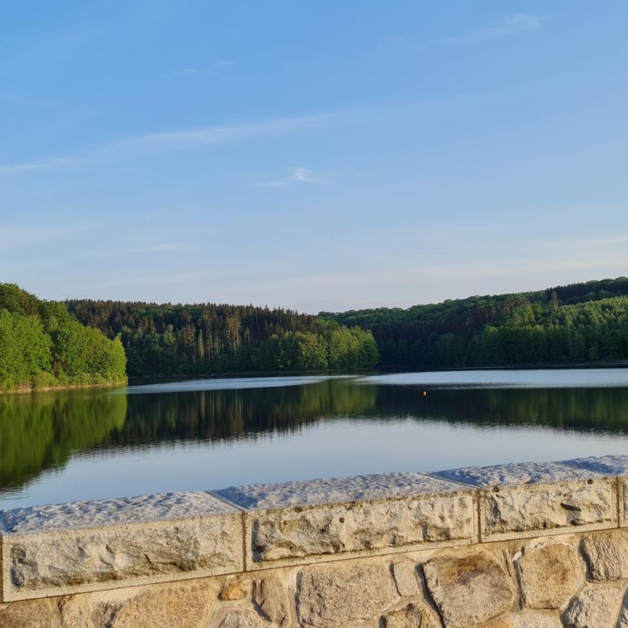
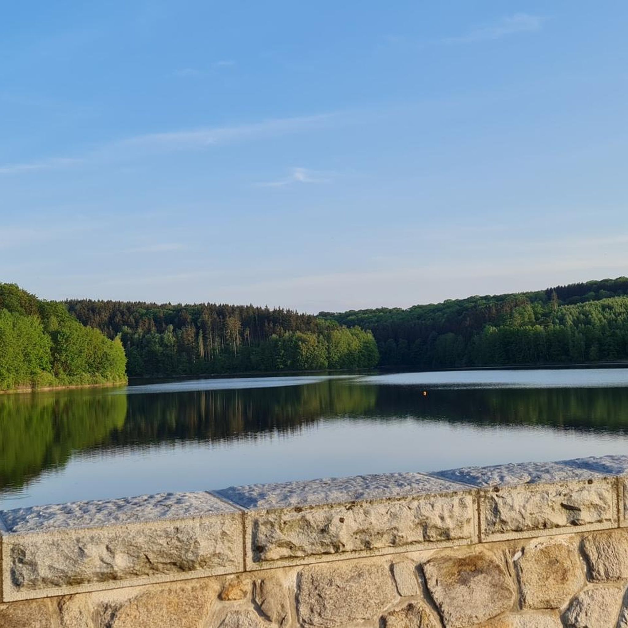
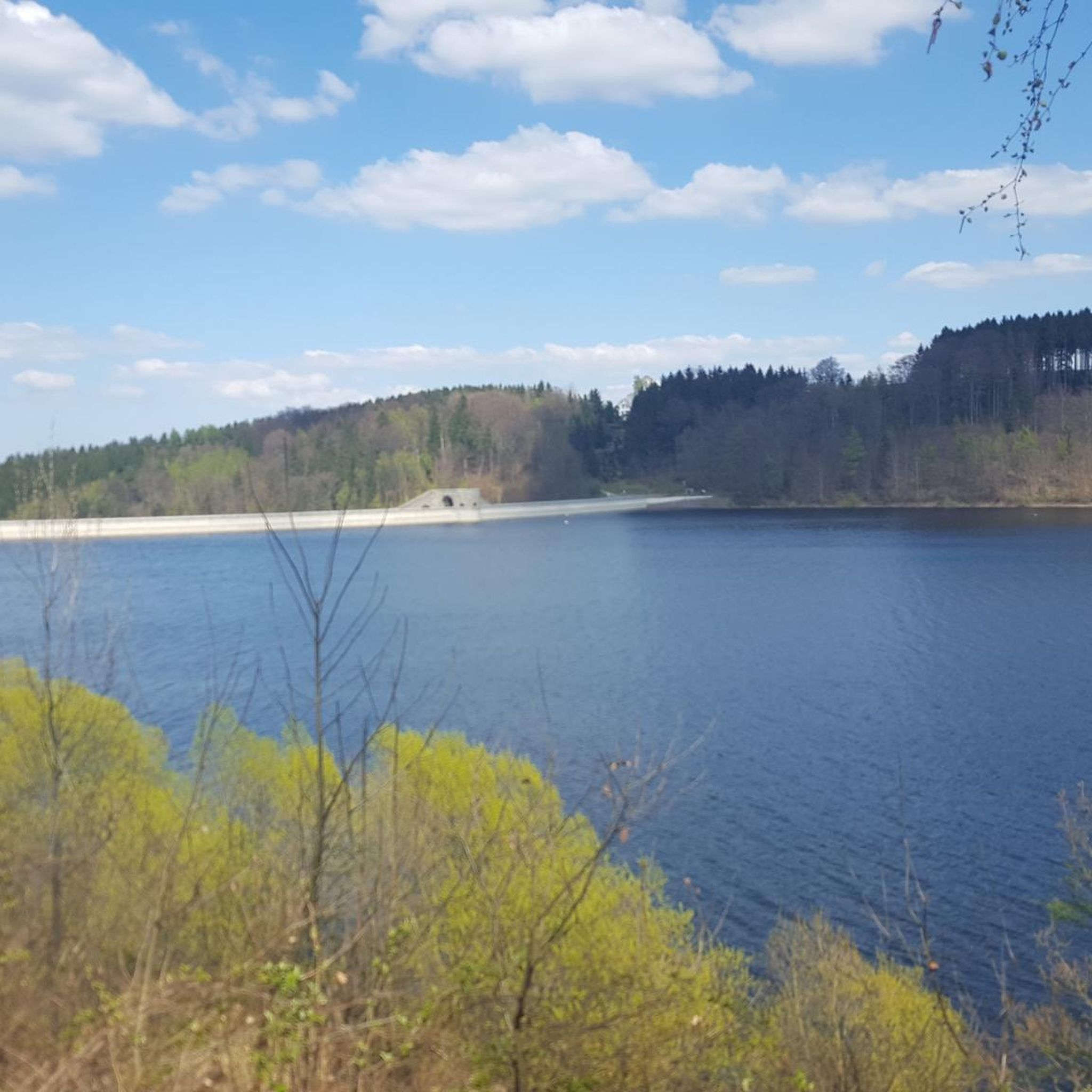
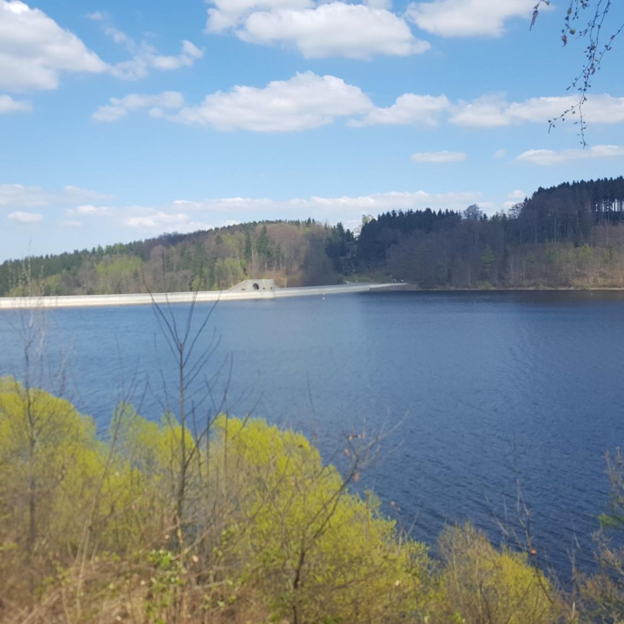
The dam of the Klingenberg reservoir is an arched gravity dam made of rubble masonry according to the Intze principle. Remarkable about this listed dam is the striking crown structure in the middle. A public path leads across the dam. The reservoir has a pre-dam, whose closing structure is an earth dam, and two forebays. The Lehnmühle reservoir is also part of the system, which had the function of a pre-dam until its construction and is today primarily a controlled part of the drinking water supply and flood defense. The raw water is diverted to the Dresden-Coschütz waterworks via the Dorfhain and Tharandt hydroelectric power plants. At the foot of the dam are the waterworks and the Klingenberg hydroelectric power plant. The flood of the Wilde Weißeritz in 2002 caused damage (scouring), especially at the dam's spillway and the 150 m long cascade flood relief with its seven drop stages. It was only designed for a maximum flood of 86 cubic meters per second, but there were peak discharges of 160 m³/s.
0
0

Only KNOX is smoked here. Nothing else goes into the Rachermännel. Always worth a visit, especially beautiful at Christmas time, but also very crowded. It's also nice there on the Day of Handicrafts in September.
0
0
The Aurora Erbstolln is an ideal hiking destination. Opening hours: April-October, every Saturday from 10:00 AM to 2:30 PM. Guided tour: Underground with helmet and lamp, duration approx. 35 to 60 minutes. Admission: Adults €4.50, children from 6 years €3.50. Special feature: Only walkable silver mine on the Silberstraße between Freiberg and Dresden.
1
0
The dam was built from 1908 onwards near Klingenberg in the foothills of the Ore Mountains, based on an architectural design by Hans Poelzig. In 1914, the dam went into operation and was named after the last Saxon king: Friedrich-August-Talsperre. The impounded body of water is the Wilde Weißeritz. Its construction was part of a flood protection concept that was developed after the devastating flood of 1897 by the district administration of Dresden-Altstadt under the leadership of District Administrator and Dam Commissioner Arnold Streit. During construction, a standard-gauge industrial railway was built from Klingenberg-Colmnitz station to the construction site, which operated from 1911 to 1914. The Höhenweg trail now runs along its route over the Streichholzbrücke bridge. (Wikipedia)
0
0

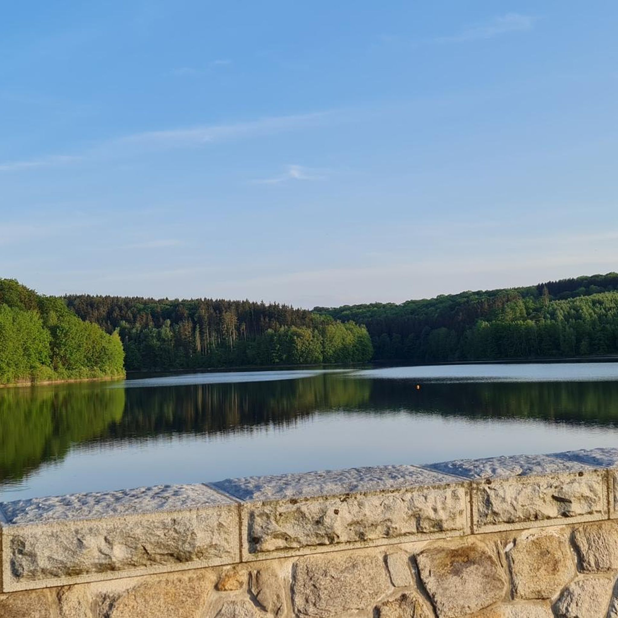
This is not the view of the Lichtenberg dam, but of the Klingenberg dam.
0
0
Frequently Asked Questions
How many gravel bike trails are available around Dam Klingenberg?
There are over 25 gravel bike trails in the Dam Klingenberg region, offering a diverse range of experiences for all skill levels. The landscape features dam-side paths, reservoir loops, and routes through scenic river valleys.
Are there gravel routes suitable for beginners or families near Dam Klingenberg?
Yes, the region offers several routes suitable for beginners and families. While there is one specifically easy route, many of the 16 moderate trails also feature gentle inclines and well-maintained paths, making them enjoyable for those seeking a less strenuous ride. These routes often follow the dam-side paths, providing a pleasant experience.
What kind of terrain can I expect on gravel bike trails around Dam Klingenberg?
The terrain around Dam Klingenberg is quite varied, perfect for gravel biking. You'll encounter a mix of dam-side paths, forest tracks, and trails through river valleys. Surfaces range from compacted gravel and dirt roads to some paved sections, with elevations from gentle inclines to more challenging climbs, especially in the forested hills surrounding the water bodies.
Are there any good loop routes for gravel biking in the area?
Yes, many of the gravel bike trails around Dam Klingenberg are designed as loops, allowing you to start and finish at the same point. A popular option is the Malter Dam – Malter Reservoir loop from Malter, which circles the Malter Dam and its reservoir, offering varied scenery over 26.6 km.
What are some scenic viewpoints or natural attractions along the gravel routes?
The region is rich in natural beauty, primarily centered around its water bodies and forested valleys. Many routes offer views of the Malter Dam and the Klingenberg Forebay Dam. The Windbergbahn Cycle Path – Rabenauer Grund loop from Dippoldiswalde, for instance, takes you through the picturesque Rabenauer Grund valley, known for its natural charm.
What is the best time of year for gravel biking around Dam Klingenberg?
Spring, summer, and autumn are generally the best seasons for gravel biking around Dam Klingenberg. Spring brings fresh greenery, summer offers warm weather ideal for dam-side rides, and autumn provides stunning foliage. While some trails may be accessible in winter, conditions can be challenging due to snow and ice, so always check local weather and trail reports.
Are there any challenging gravel bike routes for experienced riders?
Absolutely. For experienced riders seeking a challenge, there are 9 difficult routes available. One such route is the Malter Dam – Klingenberg Forebay Dam loop from Malter, which covers 33.8 km with significant elevation changes, providing a demanding yet rewarding experience.
Where can I find parking for gravel biking near Dam Klingenberg?
Parking is generally available at various starting points for the gravel routes, particularly in towns like Malter and Dippoldiswalde, which serve as common access points to the dam and surrounding trails. Look for designated parking areas near the reservoirs or trailheads.
Can I reach the gravel bike trails around Dam Klingenberg using public transport?
Yes, it is possible to access the region's gravel bike trails via public transport. Towns like Dippoldiswalde, a starting point for routes such as the Along the Wilde Weißeritz – Klingenberg Forebay Dam loop, are connected by regional bus services. Check local transport schedules for routes that accommodate bicycles.
What do other gravel bikers enjoy most about the Dam Klingenberg area?
The area is highly rated by the komoot community, with an average score of 4.6 stars from over 15 reviews. Reviewers often praise the diverse landscape, the well-maintained dam-side paths, and the variety of routes that cater to different skill levels, from leisurely reservoir loops to more challenging climbs through forested hills.
Are there any cafes or places to stop for refreshments along the gravel routes?
Yes, you'll find opportunities for refreshments, especially in the towns and villages situated around the dams and along the river valleys. Malter and Dippoldiswalde, common starting points, offer cafes and restaurants. Some routes, like the Hirschbach Valley Road – Malter Dam loop from Dippoldiswalde, pass through areas where you can find places to stop and refuel.
Most popular routes around Dam Klingenberg
Most popular attractions around Dam Klingenberg

Get inspired with the komoot mobile app


Explore more
Browse the best Gravel rides in other regions.
