The best walks and hikes around Dam Klingenberg
4.7
(9522)
31,447
hikers
975
hikes
Hiking around Dam Klingenberg offers diverse trails through a landscape characterized by the historic Klingenberg Dam, the scenic Rabenauer Grund, and surrounding forests. The region features a large reservoir, a deep V-shaped valley carved by the Rote Weißeritz river, and various nature trails. Hikers can find paths ranging from leisurely circular walks around the dam to more challenging routes with elevation changes. The area includes distinctive rocky outcrops like Dorotheenfelsen, providing views over the reservoir.
Best hiking trails around Dam…
Last updated: September 29, 2026
4.5
(11)
62
hikers
9.93km
02:41
130m
130m
Moderate hike. Good fitness required. Easily-accessible paths. Suitable for all skill levels.
4.9
(14)
29
hikers
25.3km
06:54
380m
380m
Hard hike. Very good fitness required. Easily-accessible paths. Suitable for all skill levels.

4.8
(4)
22
hikers
9.46km
02:35
140m
150m
Moderate hike. Good fitness required. Easily-accessible paths. Suitable for all skill levels.
4.5
(10)
29
hikers
Easy hike. Great for any fitness level. Easily-accessible paths. Suitable for all skill levels.
4.3
(3)
44
hikers
Easy hike. Great for any fitness level. Easily-accessible paths. Suitable for all skill levels.
Get access to more routes and recommendations from other explorers.
Already have an account?
Our route recommendations are based on thousands of hikes, rides, and runs completed by other people on komoot.
Start today with a free account
Your next adventure awaits.
Tips from the Community

A very nice little hike in a wonderful landscape. I've been there many times. The "Waldschänke" (forest inn) above the dam and the hotel right on the dam invite you to stop for refreshments. Jörg
0
0

nice place to stop for refreshments at the end of the tour.
0
0
Rest area with part of the Sachsen Energie energy educational trail. The SachsenEnergie experience trail leads past six historical hydropower plants - there you can see up close how electricity is generated in an environmentally friendly way. On a route of around 40 km along the Rote and Wilde Weißeritz rivers, there are 11 stations and experience areas with energy themes to see, touch, and try out. Whether big or small, young or old, sporty or relaxing - there is something for everyone.
0
0
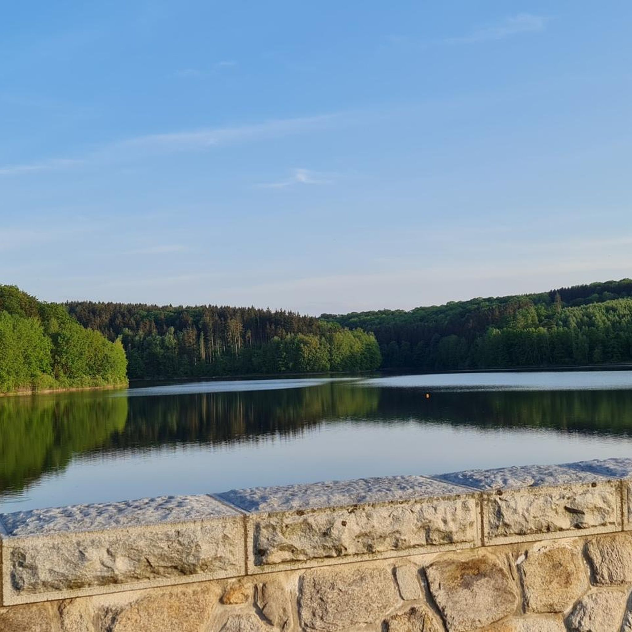
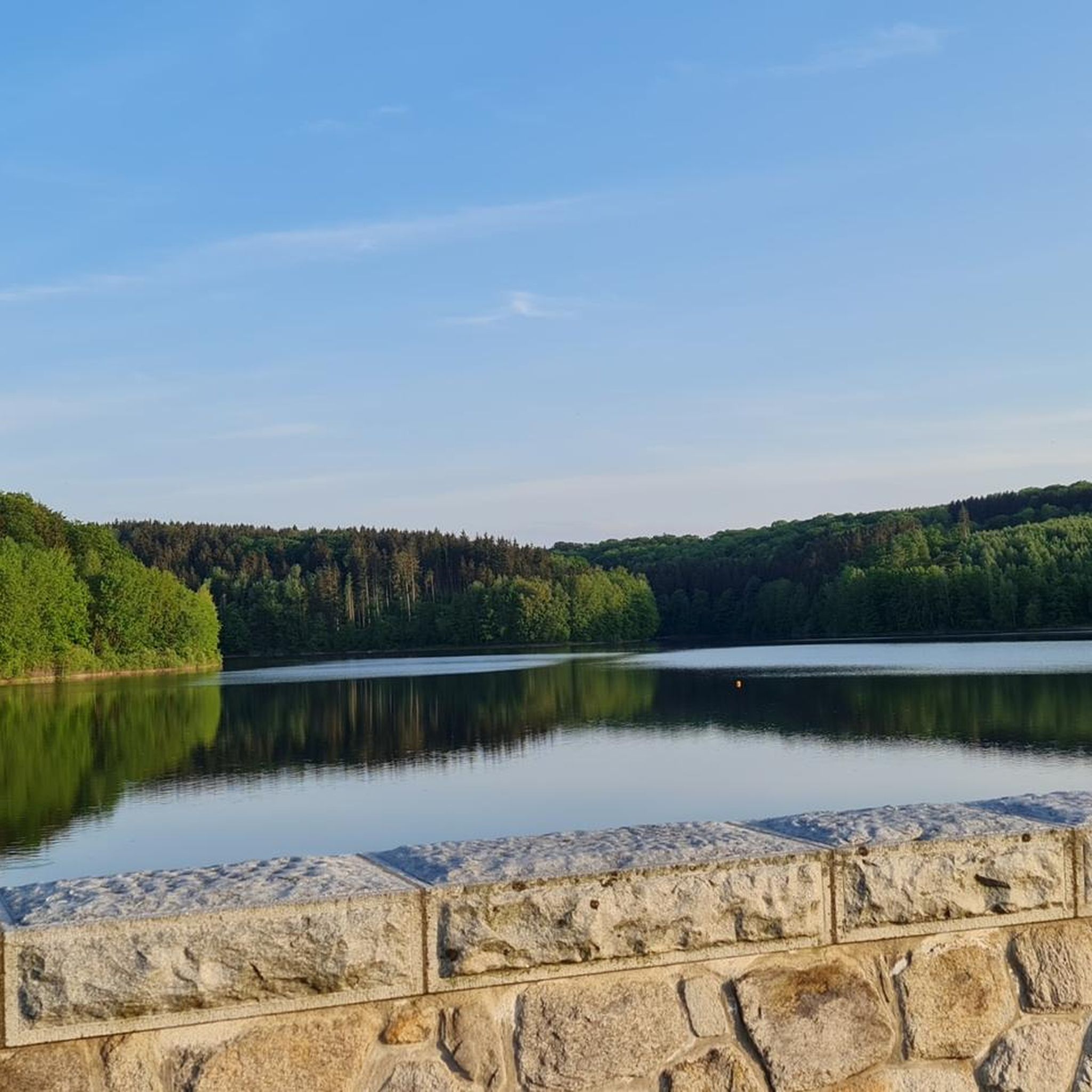
The 3.5 km long reservoir in the valley of the Wilden Weißeritz is surrounded by natural landscape and holds 16.4 million cubic meters of water. On an approximately 13 km long circular hiking trail along the shore and the romantic bays, the hiker will find peace and relaxation in the open nature. A varied circular hike through the forests around the Klingenberg drinking water reservoir, with connections to the Energy Experience Trail and the Drinking Water Educational Trail. ☝️The circular path runs mostly above on the slope. However, direct access to the water is possible in many places.☝️
0
0
Very nice break spot, directly with a view of the reservoir.
0
0
The Dorotheenfelsen is a rock outcrop on the eastern shore of the Klingenberg reservoir, consisting of orthogneiss. Mostly, gently sloping hills line the edges of the Klingenberg reservoir. But at one point, a large rock outcrop is located directly by the path. A small sign tells the hiker that this is the Dorotheenfelsen. According to legend, the beautiful miller's daughter from the Holzmühle is said to have met her lover here. The old mill is now hidden by the water of the reservoir, the rock still stands, and at its foot, you can take a seat on a bench. Those who wish can also climb up (attention, no path) and enjoy the wonderful view over the reservoir.
0
0
In the years 1910/11 it was built as a wooden bridge, hence the name, and allowed the works railway on its 3.7 km journey between the station and the dam construction to cross the "Langen Grund". The demolition of the wooden bridge and new construction in reinforced concrete took place in 1924 as the works railway line was used for the road layout. The bridge was technically checked and completely overhauled in 1992.
1
0
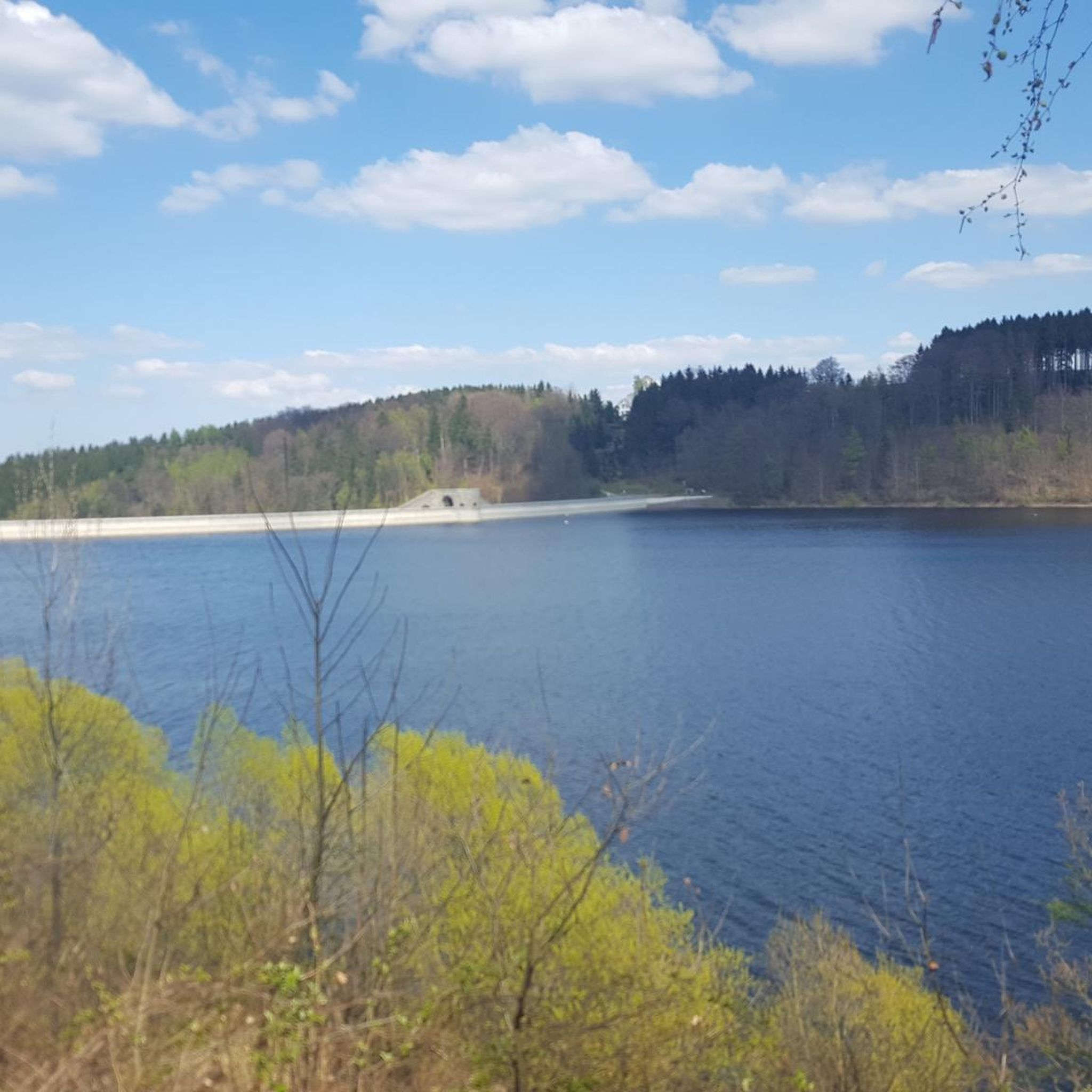
The Klingenberg dam in the eastern Ore Mountains is a picturesque reservoir and an important drinking water reserve. It was built between 1908 and 1914. The charming circular hiking trail is perfect for nature lovers, walkers, and families. The dam was built from 1908 near Klingenberg in the foothills of the Osterzgebirge according to an architectural design by Hans Poelzig. In 1914, the dam went into operation and was named after the last Saxon king: Friedrich-August-Talsperre. The impounded body of water is the Wilde Weißeritz. Its construction was part of a flood protection concept that was developed after the devastating flood of 1897 in the Dresden-Altstadt district under the leadership of district administrator and dam commissioner Arnold Streit. During construction, a standard-gauge works railway was laid from Klingenberg-Colmnitz station to the construction site, which operated from 1911 to 1914. The Höhenweg trail now runs along its route over the Streichholzbrücke (matchstick bridge).
0
0
Frequently Asked Questions
How many hiking trails are there around Dam Klingenberg?
The Dam Klingenberg area offers a wide variety of hiking opportunities, with over 970 routes available. These range from easy strolls to more challenging full-day hikes, catering to all fitness levels.
What is the best time of year to hike around Dam Klingenberg?
Hiking around Dam Klingenberg is enjoyable throughout the year. Spring and autumn offer pleasant temperatures and vibrant scenery, while summer is ideal for longer days outdoors. Even in winter, the landscape can be beautiful, though some paths, especially in areas like the Rabenauer Grund, might be less accessible due to snow or ice.
Are there easy hiking options suitable for beginners or families?
Yes, the region has many easy trails perfect for beginners and families. Nearly half of the routes, over 480, are classified as easy. A good example is the View of the Klingenberg Dam – View of the Dam loop from Klingenberg, which is a shorter, accessible loop offering scenic views.
Are there any circular hiking routes around Dam Klingenberg?
Many of the trails around Dam Klingenberg are circular, allowing you to start and end at the same point. The popular trail encircling the dam itself, such as the Klingenberg Dam – View of the Klingenberg Dam loop from Klingenberg, is a great example of a circular walk offering picturesque views of the water and surrounding area.
What interesting landmarks or sights can I see while hiking near Dam Klingenberg?
The area is rich in natural and historical landmarks. You can explore the impressive Klingenberg Dam itself, a historic gravity dam. Other notable sights include the Dorotheenfelsen rock formation and various viewpoints like the Picnic Spot at Klingenberg Reservoir, offering stunning vistas of the water and landscape.
Is the Rabenauer Grund accessible for hikers?
Yes, the Rabenauer Grund is a wildly romantic V-shaped valley nearby, renowned for its picturesque landscape and unique rock formations. It offers trails for experienced hikers, but it's important to note that parts of the path through the gorge might be closed at times due to natural conditions. Always check local conditions before planning your hike there.
Are the hiking trails around Dam Klingenberg dog-friendly?
Many trails around Dam Klingenberg are suitable for dogs, allowing you to enjoy the natural beauty with your canine companion. It's always recommended to keep dogs on a leash, especially in nature reserve areas like the Rabenauer Grund, and to be mindful of other hikers and wildlife.
Where can I find parking for hiking at Dam Klingenberg?
There are several parking options available around Dam Klingenberg, particularly near popular trailheads and access points to the dam. Specific parking areas are often signposted, making it convenient to start your hike.
Is it possible to reach the hiking trails by public transport?
Public transport options to the Dam Klingenberg area are available, connecting it to nearby towns and cities. Checking local bus or train schedules will help you plan your journey to access the various hiking trails without a car.
Are there places to eat or drink near the hiking trails?
Yes, you can find cafes and restaurants in the villages surrounding Dam Klingenberg, offering opportunities to refuel before or after your hike. These establishments often cater to hikers and provide local specialties.
What is the general difficulty level of hikes around Dam Klingenberg?
The hikes around Dam Klingenberg cater to a wide range of abilities. Approximately half of the routes are easy, while a significant number (over 440) are moderate. For those seeking a challenge, there are also over 40 difficult routes, such as the extensive Klingenberg Dam – View of the Klingenberg Dam loop from Klingenberg, which covers over 25 km.
What do other hikers enjoy most about the trails around Dam Klingenberg?
The trails around Dam Klingenberg are highly regarded by the komoot community, with an average rating of 4.7 out of 5 stars from over 8,000 reviews. Hikers frequently praise the diverse landscapes, the impressive dam views, and the well-maintained paths that offer a mix of historical interest and natural beauty.
Are there any educational nature trails in the area?
Yes, the region features several educational nature trails. For instance, a drinking water educational trail between the Lehnmühle and Klingenberg reservoirs uses information boards to highlight the value of water and the geological characteristics of the area. Other trails offer insights into local wildlife and flora within natural habitats.
Most popular routes around Dam Klingenberg
Most popular attractions around Dam Klingenberg

Get inspired with the komoot mobile app


Explore more
Browse the best Hikes in other regions.
