The best gravel rides around Embalse de Pinilla
3.8
(8)
202
riders
19
rides
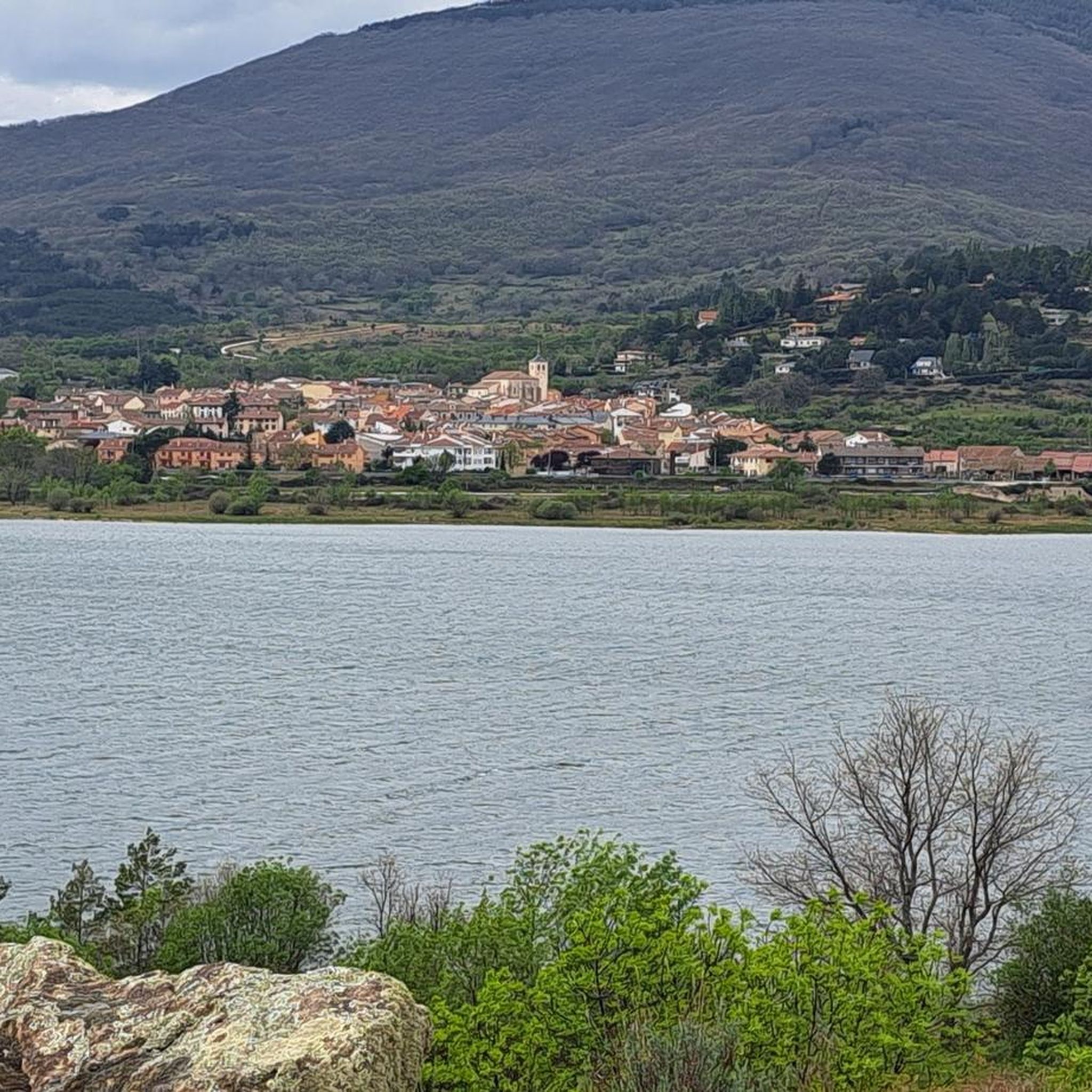
Gravel biking around Embalse de Pinilla offers varied terrain within the Sierra Norte of Madrid, nestled in the Sierra de Guadarrama. The region features the tranquil waters of the reservoir, surrounded by diverse ecosystems including oak and pine forests, and riparian copses along riverbanks in the Lozoya Valley. This natural environment provides a mix of paved tracks and natural trails, making it suitable for dynamic gravel biking experiences. The landscape includes mountainous terrain and river valleys, with routes catering to…
Last updated: October 11, 2026
8
riders
70.8km
06:18
1,330m
1,320m
Hard gravel ride. Very good fitness required. Mostly paved surfaces. Suitable for all skill levels.
10
riders
66.2km
06:14
1,660m
1,650m
Hard gravel ride. Very good fitness required. Mostly paved surfaces. Suitable for all skill levels.

3.0
(1)
14
riders
39.4km
02:27
270m
270m
Moderate gravel ride. Good fitness required. Mostly paved surfaces. Suitable for all skill levels.
5
riders
Moderate gravel ride. Good fitness required. Mostly paved surfaces. Suitable for all skill levels.
5.0
(1)
10
riders
65.3km
05:10
1,400m
1,410m
Hard gravel ride. Very good fitness required. Mostly paved surfaces. Suitable for all skill levels.
Get access to more routes and recommendations from other explorers.
Already have an account?
Our route recommendations are based on thousands of hikes, rides, and runs completed by other people on komoot.
Start today with a free account
Your next adventure awaits.
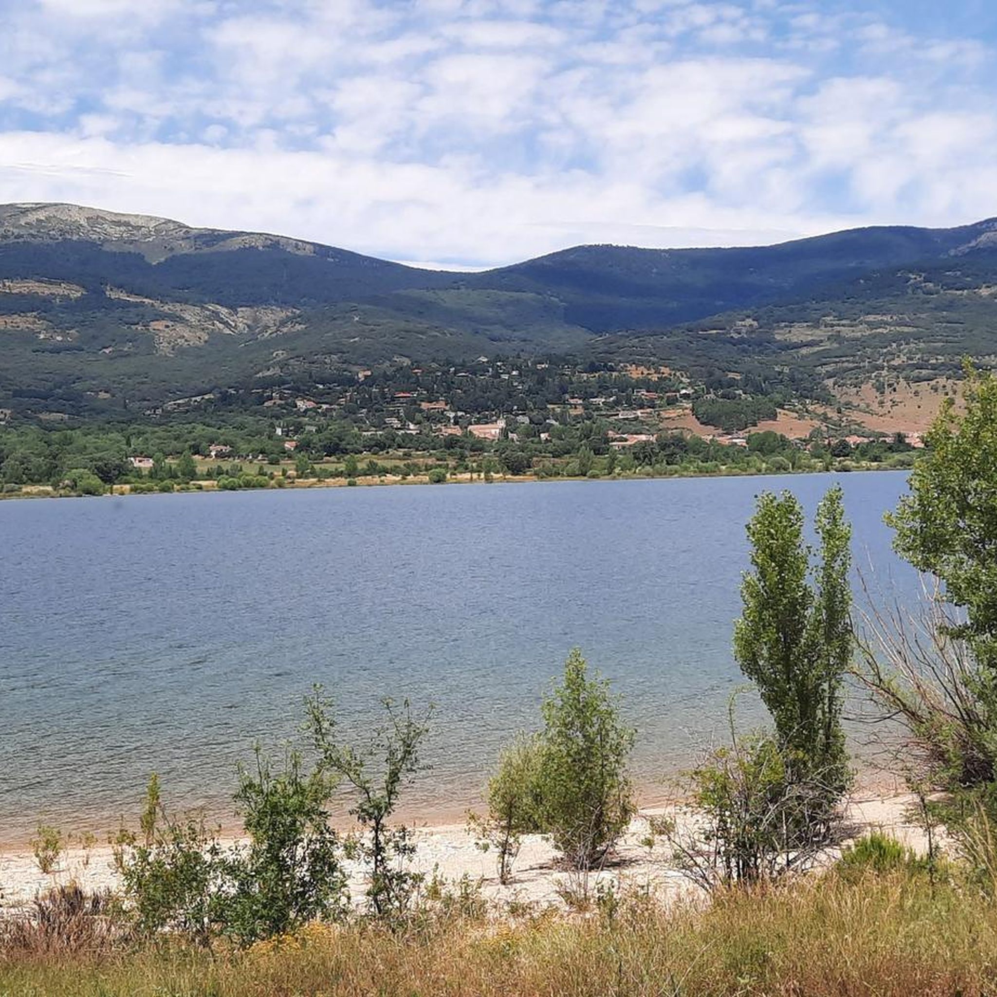
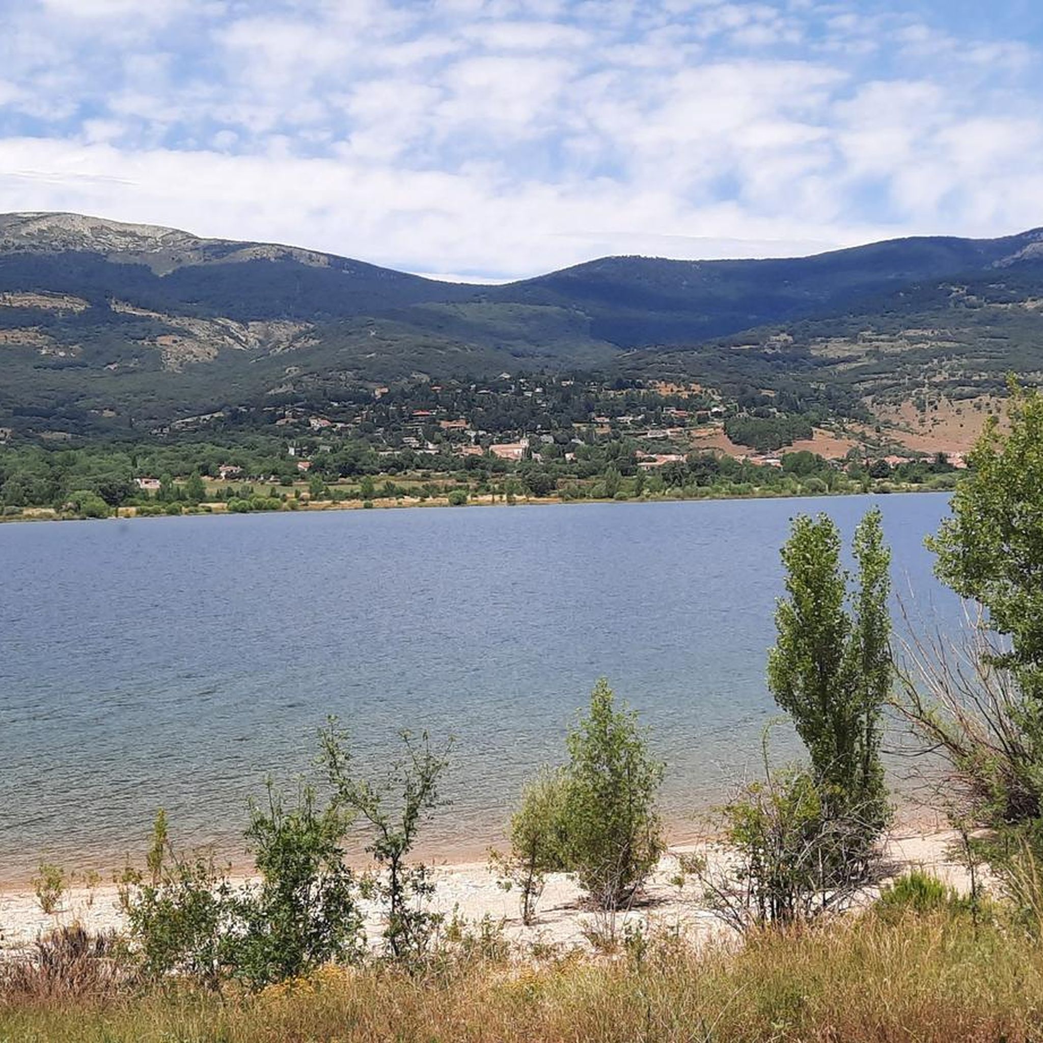
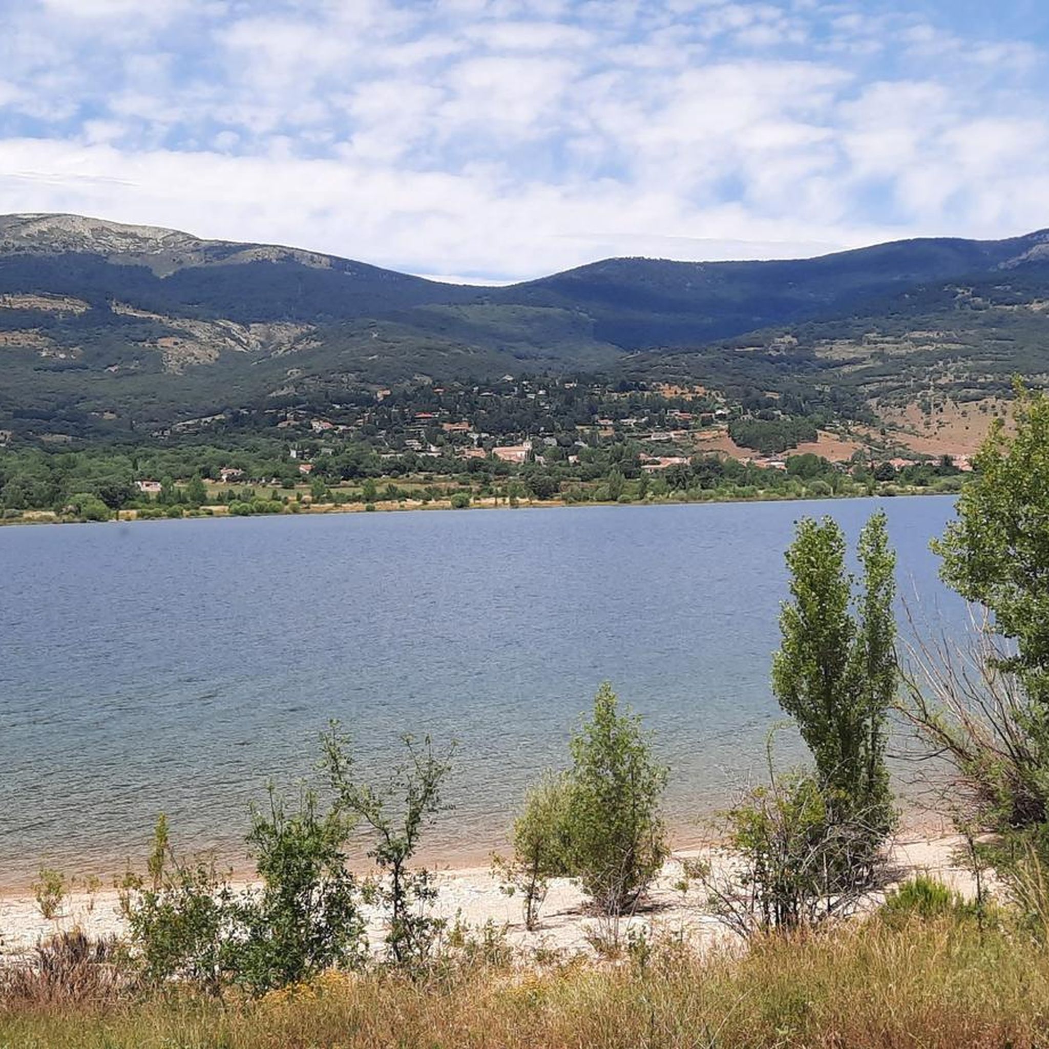
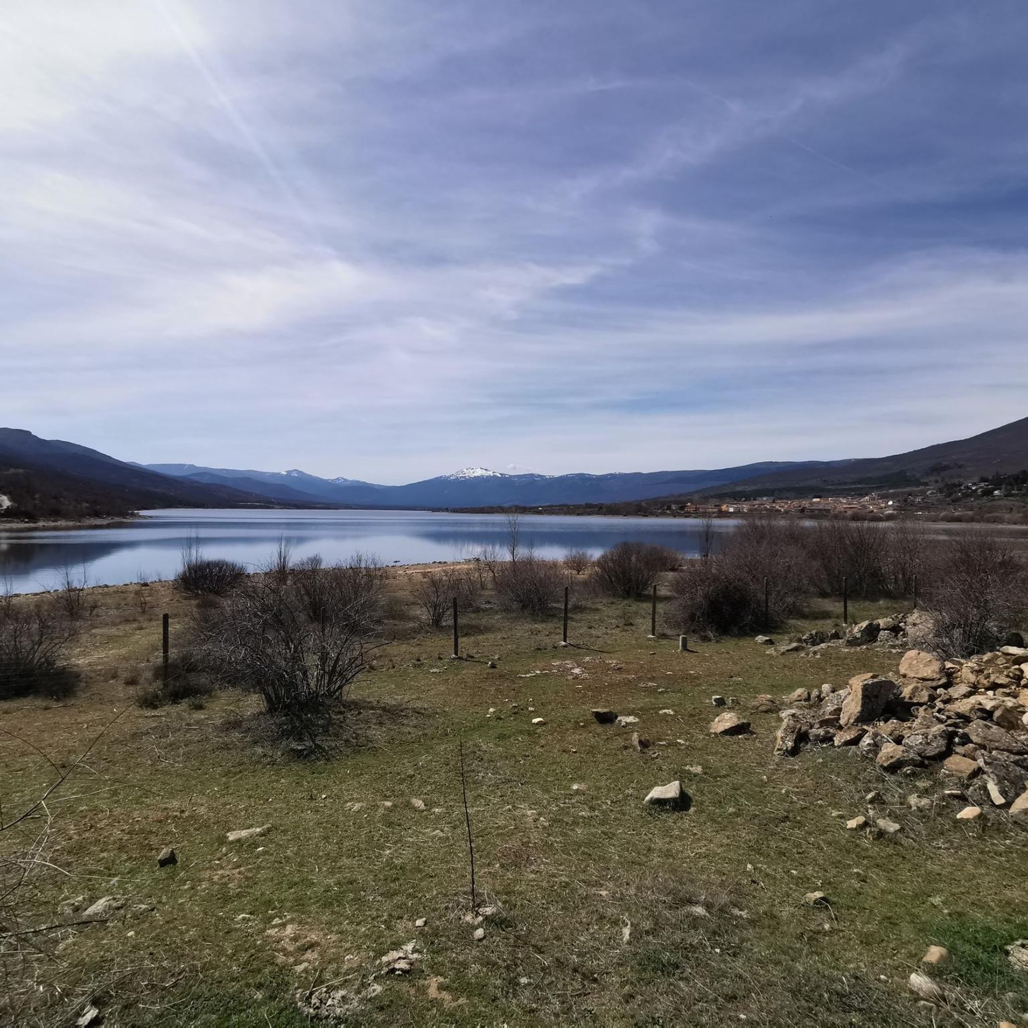
Tips from the Community

Watch out for the asphalt on the descent, there are potholes and the surface is quite uneven. You won't even notice it on the climb.
0
0

This section of the Cañada Real Soriana Occidental retains its pastoral character. Grass grows in the surroundings and cows graze at will; the views of the Sierra de Guadarrama complete a beautiful bucolic scene.
0
0

The Castle and Walls of Buitrago del Lozoya, one of the most important medieval sites in the Community of Madrid: The town has pre-Roman roots and was mentioned by Livy as a Celtiberian fortress (Litabrum). Muslim Fortification: Between the 8th and 11th centuries, the Muslims built the wall to protect the territory. Reconquest: Alfonso VI conquered it in 1085, and it passed into Christian hands. Current Castle: Built in the 15th century by the Mendoza family, during the reign of John II of Castile. Historical Uses: Noble residence, defensive stronghold, and setting for events such as the imprisonment of Juana la Beltraneja.
3
0

A beautiful bridge leads to the Finca de los Batanes, where the hostel is located. Opposite is the El Paular Monastery. From this bridge, there's a path that leads to the village of Rascafría, where I could see people walking and exercising.
0
0

nice corner to enjoy the views
0
0

Segovia hillside, near Navafría, with beautiful landscapes.
0
0

Beautiful place and beautiful river, with water, as it was flowing today.
0
0

A beautiful stone bridge. The climb afterward is quite rocky, and you'll have to walk for a bit.
0
0
Frequently Asked Questions
What kind of terrain can I expect on gravel bike trails around Embalse de Pinilla?
The gravel bike trails around Embalse de Pinilla offer a dynamic riding experience with varied terrain. You'll find a mix of paved tracks and natural trails, traversing mountainous landscapes, river valleys, and extensive forests, including oak and pine. The region is part of the Sierra de Guadarrama, providing a picturesque backdrop of tranquil waters and rolling hills.
How many gravel biking routes are available in the Embalse de Pinilla area?
There are 15 gravel biking routes available around Embalse de Pinilla. These routes cater to various skill levels, with options ranging from easy to difficult, ensuring there's something for every rider.
Are there any easy gravel bike trails suitable for beginners or families?
Yes, there are easy gravel bike trails around Embalse de Pinilla. For instance, the El Paular Monastery – Plaza de España, Rascafría loop from Lozoya is an easy 23.0 km route through the Lozoya Valley, often completed in about 1 hour 36 minutes. Many routes are described as 'pistero' (on tracks) with minimal technical sections, making them accessible for all levels and ages.
What are some challenging gravel routes for experienced riders?
For experienced riders seeking a challenge, the Embalse de Pinilla area offers several difficult routes with significant elevation gain. One such option is the Puerto de Linera – Navafría Pass loop from Lozoya, a 66.6 km trail with substantial climbing through mountainous terrain.
Can I find circular gravel bike routes around Embalse de Pinilla?
Yes, circular routes are a popular option in the area. Many trails are designed as loops, allowing you to start and finish in the same location. For example, the Navafría Pass – Puerto de Navafría loop from Lozoya is a challenging 54.0 km circular route.
What are the best seasons for gravel biking around Embalse de Pinilla?
The Embalse de Pinilla area is generally suitable for gravel biking across multiple seasons. The diverse ecosystems and varied terrain offer beautiful scenery year-round. However, spring and autumn often provide the most comfortable temperatures and vibrant landscapes. Winter rides are possible, but checking weather conditions is advisable due to mountainous terrain.
Are there any viewpoints or scenic spots along the gravel trails?
The region is known for its stunning natural scenery. As you ride, you'll encounter tranquil waters of the reservoir, lush oak and pine forests, and panoramic mountain views of the Sierra de Guadarrama. The interplay of water, mountains, and forests creates numerous scenic spots along the routes.
What do other gravel bikers say about the trails in Embalse de Pinilla?
The gravel biking routes in Embalse de Pinilla are highly rated by the komoot community, with an average score of 3.6 stars from 9 reviews. Over 200 gravel bikers have used komoot to explore the varied terrain, often praising the beautiful natural environment and the diversity of routes available.
Are there any longer gravel routes for extended rides?
For longer rides, you can explore routes that connect to wider networks. The Plaza de España, Rascafría – La Morcuera Pass loop from Estación Gargantilla-Lozoya is a difficult 62.9 km route that offers a significant distance and elevation gain for an extended gravel biking experience.
Can I find cafes or places to rest near the gravel bike trails?
The Embalse de Pinilla area includes towns like Lozoya, Pinilla del Valle, and Rascafría, which are good starting points for rides. These towns typically offer amenities such as cafes and restaurants where you can rest and refuel before or after your ride.
Is it possible to access the gravel trails using public transport?
While specific public transport details for trailheads are not provided, the area is part of larger cycling initiatives like the 'Arco Verde' project, which aims to enhance accessibility. Starting points in towns like Lozoya or Pinilla del Valle may have public transport connections, but it's advisable to check local bus schedules for specific routes.
Are there any moderate difficulty gravel routes available?
Yes, there are several moderate difficulty gravel routes. The Plaza de España, Rascafría – Las Presillas del Lozoya loop from Alameda del Valle is a popular moderate 45.1 km path that traverses varied terrain, including forests and open areas, with manageable elevation changes.
Most popular routes around Embalse de Pinilla

Get inspired with the komoot mobile app


Explore more
Browse the best Gravel rides in other regions.
