The best running trails around Embalse de Pinilla
358
runners
36
runs
Jogging around Embalse de Pinilla offers a blend of natural landscapes and varied terrain in the Sierra Norte of Madrid. The region is characterized by the expansive Embalse de Pinilla reservoir, framed by the peaks of the Sierra de Guadarrama, including Cuerda Larga and Peñalara. Running routes wind through diverse forests, including oak, beech, pine, and ash trees, alongside the Lozoya River. The terrain ranges from paths with minimal elevation gain along the reservoir's edge to more challenging trails with…
Last updated: July 1, 2026
37
runners
15.9km
01:44
100m
100m
Hard run. Very good fitness required. Mostly accessible paths. Some sure footedness required.
5
runners
Hard run. Very good fitness required. Sure-footedness, sturdy shoes and alpine experience required.

Sign up for free
7
runners
19.1km
03:19
1,110m
1,110m
Hard run. Very good fitness required. Sure-footedness, sturdy shoes and alpine experience required.
5
runners
10.7km
01:11
110m
110m
Moderate run. Good fitness required. Mostly paved surfaces. Suitable for all skill levels.
4
runners
6.93km
00:46
130m
130m
Moderate run. Good fitness required. Mostly paved surfaces. Suitable for all skill levels.
Get access to more routes and recommendations from other explorers.
Sign up for free
Already have an account?
Our route recommendations are based on thousands of hikes, rides, and runs completed by other people on komoot.
Start today with a free account
Your next adventure awaits.
Login or Signup

Tips from the Community

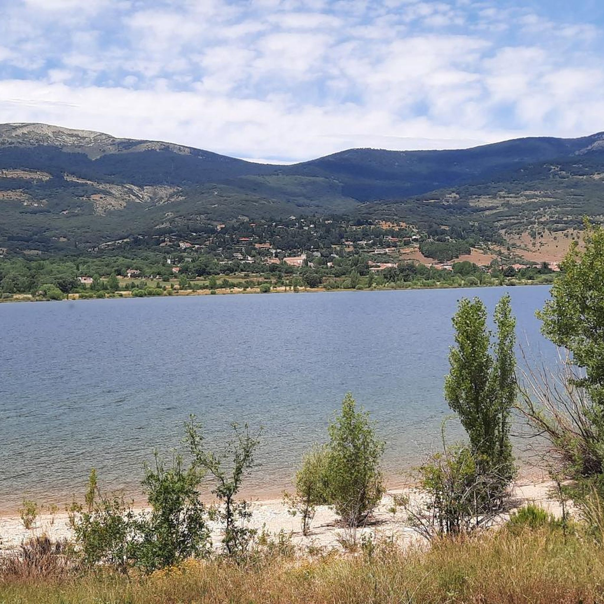
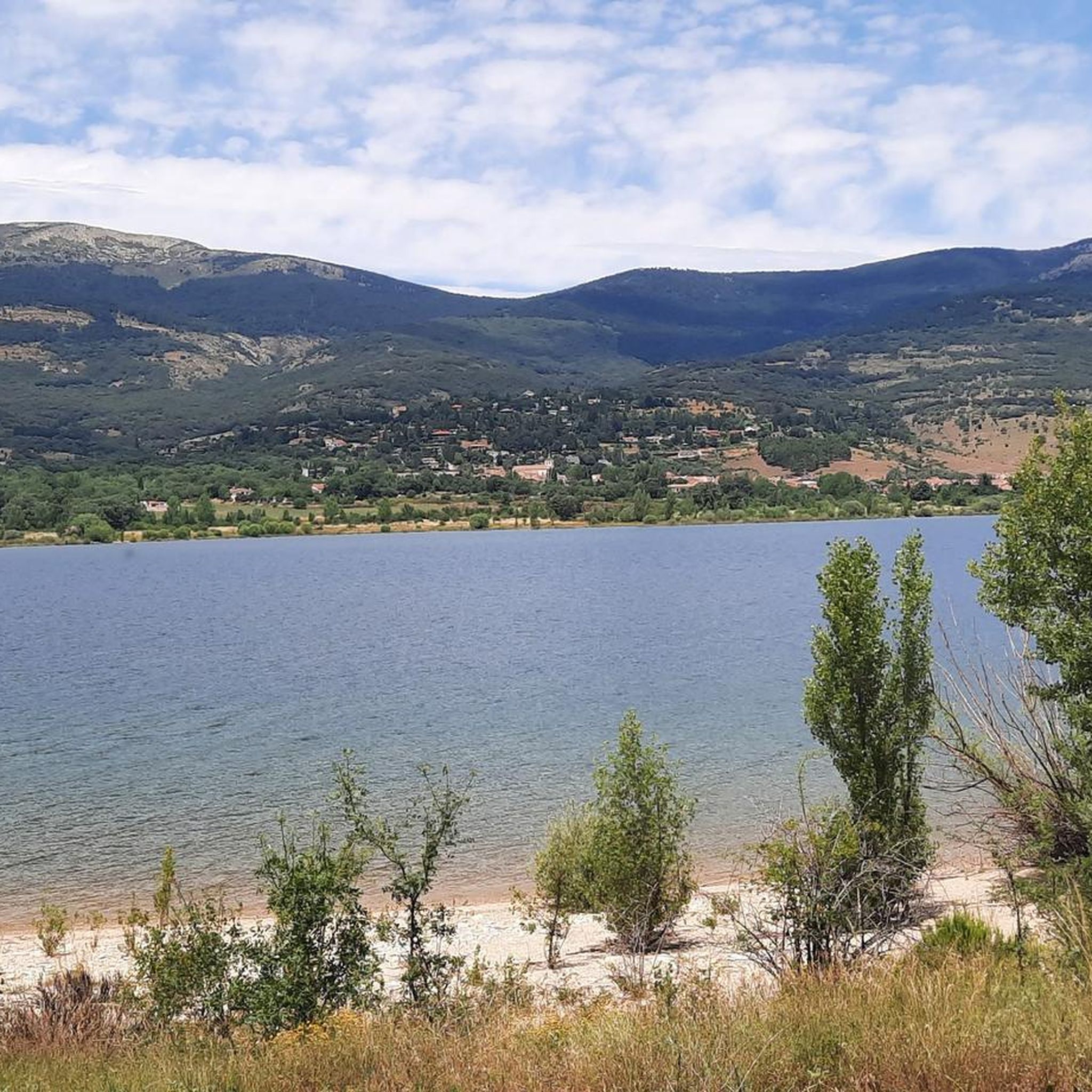
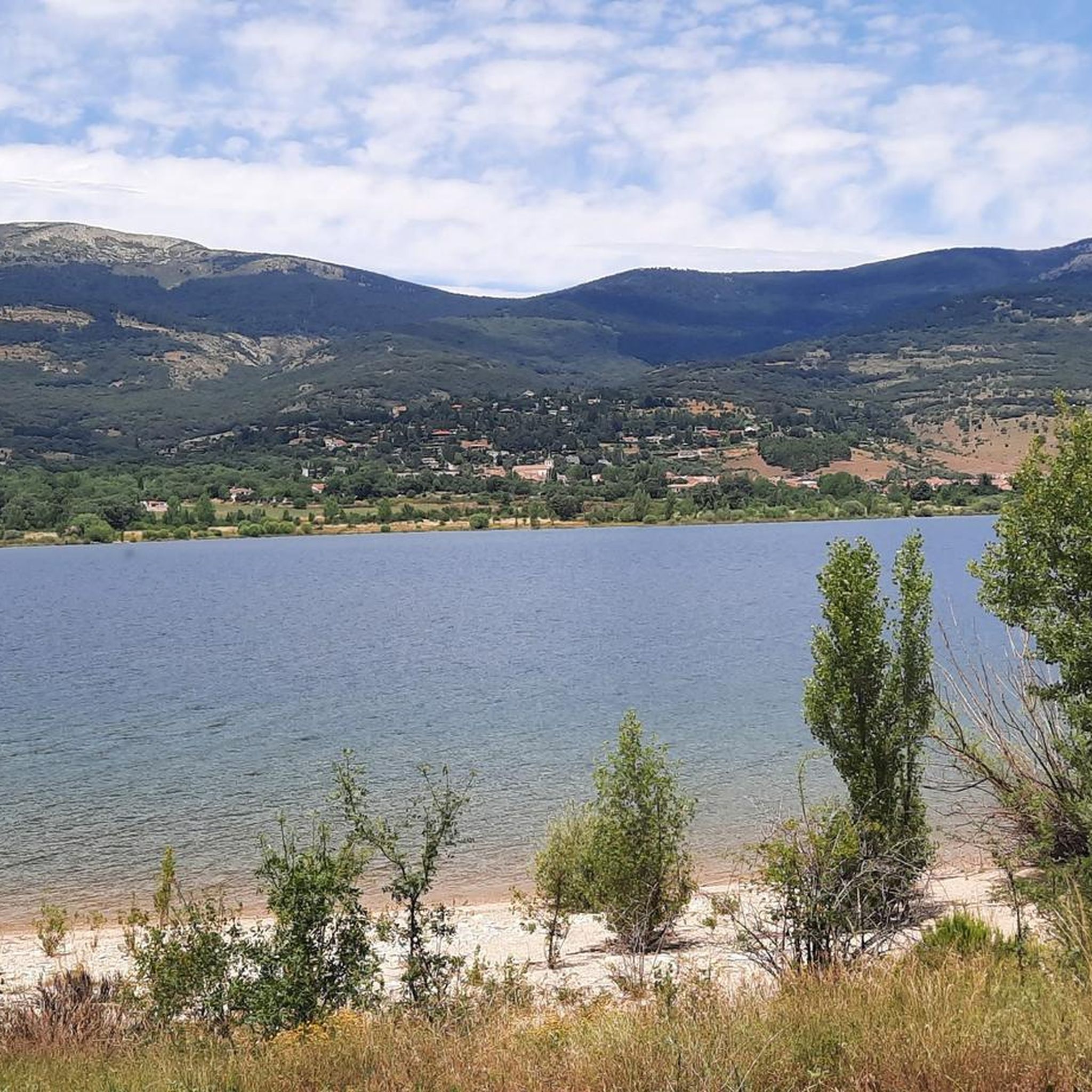
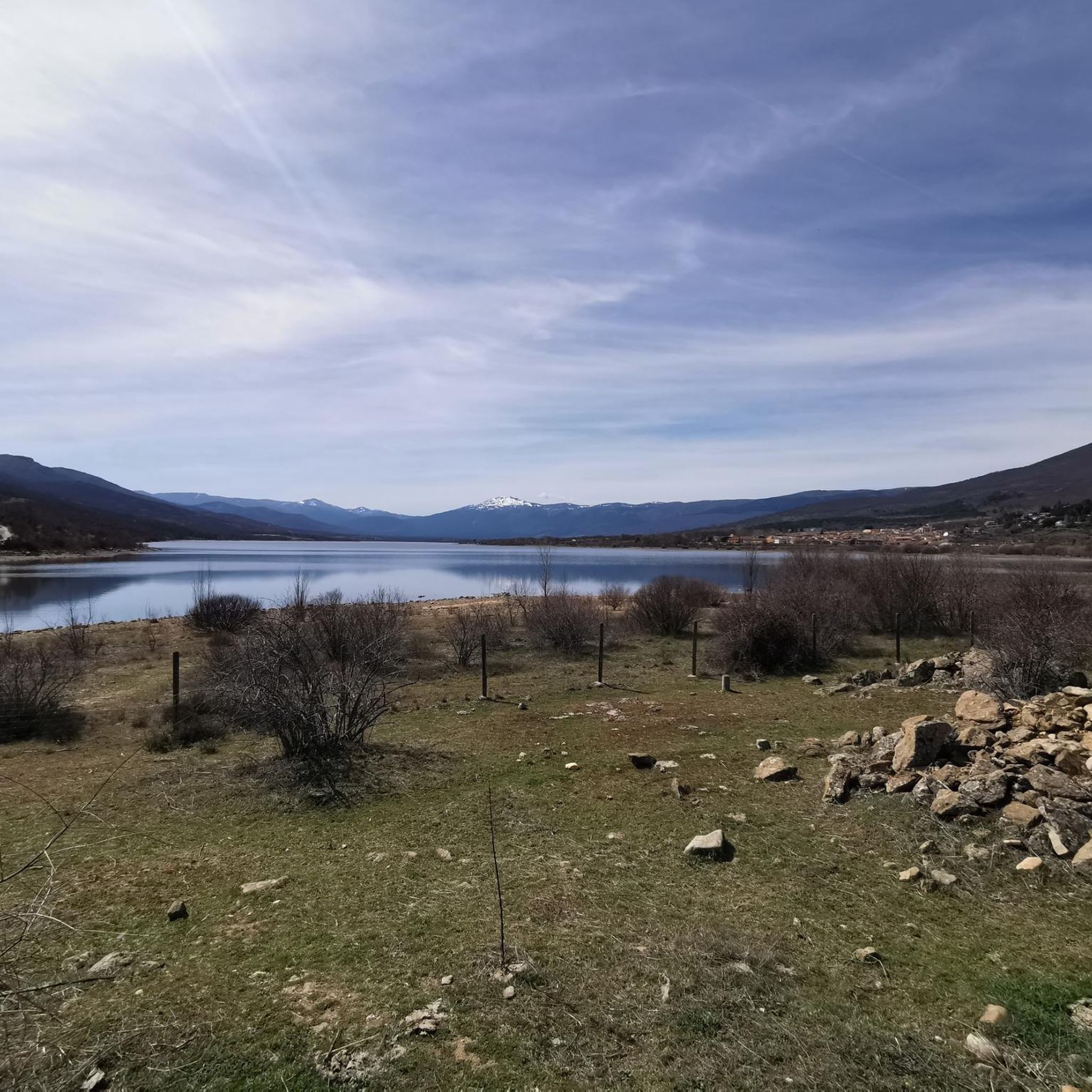
Beautiful viewpoint of the Pinilla reservoir
0
0

Place of extraordinary beauty, especially in spring with snow and water.
0
0

highest peak of the Carpetanos Mountains, beautiful
0
0
Pico del Nevero, the highest of the Carpetanos Mountains, with beautiful views.
0
0

Beautiful place and beautiful river, with water, as it was flowing today.
0
0
El Nevero is one of the highest and most important mountains in the Guadarrama Mountains, at 2,209 meters above sea level. It is located on the border between the Community of Madrid and the Province of Segovia. As it forms part of the Guadarrama Mountains National Park, access to it by bicycle is prohibited, as fines may apply.
0
0
Stone bridge that crosses the Lozoya River near its passage through the Pinilla reservoir.
0
0
Frequently Asked Questions
How many running routes are available around Embalse de Pinilla?
There are over 35 dedicated running routes around Embalse de Pinilla, offering a variety of distances and difficulty levels. These include everything from easy paths along the reservoir to more challenging trails with significant elevation changes.
Are there any easy or beginner-friendly jogging routes in the Embalse de Pinilla area?
Yes, the region offers several easy jogging routes, particularly those that follow the edge of the reservoir with minimal elevation gain. While specific easy routes are not detailed in the provided data, the area is known for accessible options suitable for casual joggers. Look for routes described as having 'minimal elevation change' for a gentler experience.
What kind of terrain can I expect on the running trails around Embalse de Pinilla?
The terrain around Embalse de Pinilla is quite varied. You'll find paths winding through diverse forests, including oak, beech, pine, and ash trees, especially alongside the Lozoya River. Some routes offer minimal elevation gain along the reservoir's edge, while others, particularly those venturing into the Sierra de Guadarrama, present more challenging inclines.
Are there circular running routes around Embalse de Pinilla?
Yes, circular routes are a popular option. For example, the Embalse de Pinilla – running circular from Lozoya is a 15.9 km (9.9 miles) trail that offers continuous views of the reservoir with minimal elevation change. Another option is the Pinilla Reservoir Viewpoint – View of Lozoya Reservoir loop from Lozoya, a moderate 10.7 km (6.6 miles) path.
What natural features or landmarks can I see while running in Embalse de Pinilla?
Jogging in Embalse de Pinilla offers breathtaking mountain views, especially of the Sierra de Guadarrama peaks like Cuerda Larga and Peñalara. The expansive reservoir itself is a central feature, providing a serene backdrop. You'll also run through diverse forests, including well-preserved oak and beech woods, and alongside the Lozoya River. For those interested in history, the archaeological site of 'Valle de los Neandertales' is located nearby.
Are there any long-distance running routes for experienced runners?
Yes, for experienced runners seeking a challenge, routes like the Pico del Nevero loop from Lozoya offer a significant workout. This route covers approximately 19.3 km (12 miles) with over 1100 meters of elevation gain, making it a difficult but rewarding option.
What is the best time of year to go jogging around Embalse de Pinilla?
The diverse forests and varied terrain make Embalse de Pinilla suitable for jogging across multiple seasons. Spring and autumn offer pleasant temperatures and vibrant scenery with changing foliage. Summer provides shaded paths through the woods, while winter can offer unique, crisp views, though some higher elevation trails might require more preparation.
Are there public transport options to reach the jogging trails at Embalse de Pinilla?
The region is accessible, and public transport options are available to reach towns like Lozoya and Pinilla del Valle, which serve as starting points for many routes. It's advisable to check local bus schedules for the most current information on routes connecting to the reservoir area.
Is there parking available near the running routes?
Yes, parking facilities are generally available in the towns and villages surrounding Embalse de Pinilla, such as Lozoya, Pinilla del Valle, and Alameda del Valle. These spots often serve as convenient starting points for the various running and hiking trails.
What do other runners say about jogging in Embalse de Pinilla?
The running routes in Embalse de Pinilla are highly rated by the komoot community, with an average score of 4.0 stars. Runners often praise the stunning mountain and reservoir views, the tranquility of the natural environment, and the variety of terrain suitable for different fitness levels.
Are there any moderate-difficulty running routes?
Absolutely. A popular moderate route is the Running loop from Alameda del Valle, which is about 6.9 km (4.3 miles) long and leads through the picturesque Lozoya Valley. This offers a good balance of distance and elevation without being overly strenuous.
Can I find cafes or places to rest near the jogging paths?
Yes, the towns and villages surrounding Embalse de Pinilla, such as Lozoya, Pinilla del Valle, and Alameda del Valle, offer amenities like cafes and restaurants where you can rest and refuel before or after your run. The area also features viewpoints and rest areas along some trails.
Most popular routes around Embalse de Pinilla

Get inspired with the komoot mobile app


Explore more
Browse the best Running Trails & Routes in other regions.
