The best gravel rides around Venetian Lakeon
4.4
(1879)
13,156
riders
123
rides
Gravel biking around Venetian Lakeon offers diverse landscapes across the Veneto region, characterized by its extensive coastal wetlands, a UNESCO World Heritage site. The area features largely flat terrain, with numerous cycle paths and gravel roads often following major waterways like the River Sile and River Brenta. Riders can explore barrier islands, salt marshes, and former railway lines, providing varied routes suitable for different skill levels.
Best gravel bike trails around Venetian Lakeon
- The most popular gravel bike trail is…
Last updated: July 7, 2026
3.8
(13)
130
riders
Moderate gravel ride. Good fitness required. Mostly paved surfaces. Suitable for all skill levels.
4.6
(9)
101
riders
96.6km
04:59
100m
100m
Moderate gravel ride. Good fitness required. Mostly paved surfaces. Suitable for all skill levels.

Sign up for free
4.5
(2)
15
riders
Easy gravel ride. Great for any fitness level. Mostly paved surfaces. Suitable for all skill levels.
4.3
(3)
15
riders
Easy gravel ride. Great for any fitness level. Mostly paved surfaces. Suitable for all skill levels.
4.0
(9)
32
riders
34.1km
01:47
40m
40m
Easy gravel ride. Great for any fitness level. Mostly paved surfaces. Suitable for all skill levels.
Get access to more routes and recommendations from other explorers.
Sign up for free
Already have an account?
Our route recommendations are based on thousands of hikes, rides, and runs completed by other people on komoot.
Start today with a free account
Your next adventure awaits.
Login or Signup
Popular around Venetian Lakeon
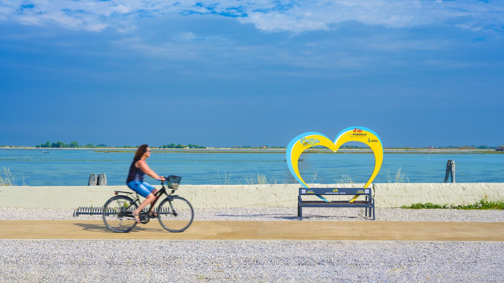
Cavallino Treporti by bike – routes to experience the lagoon
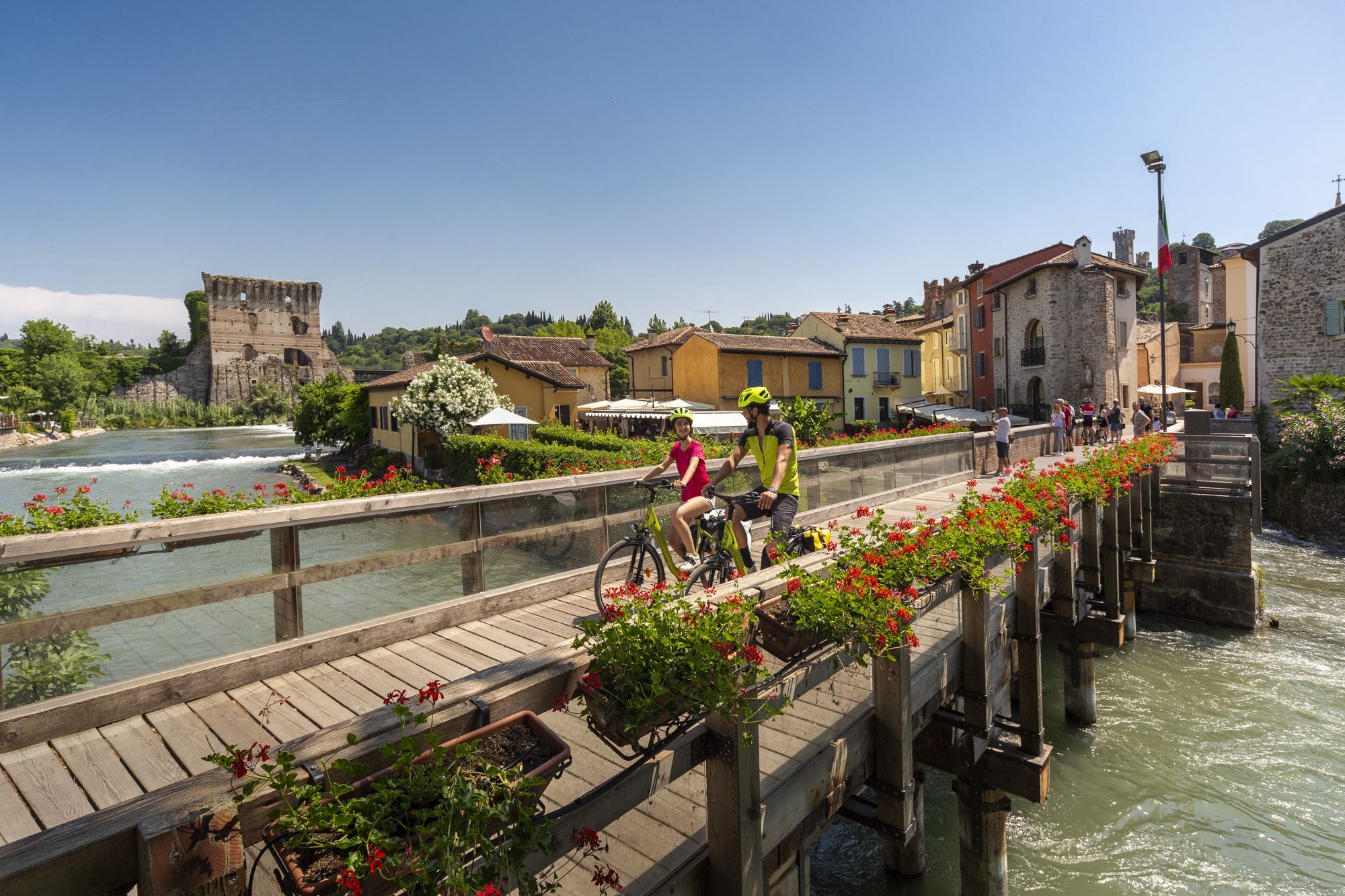
Explore Veneto at a slow pace – day trips by bike
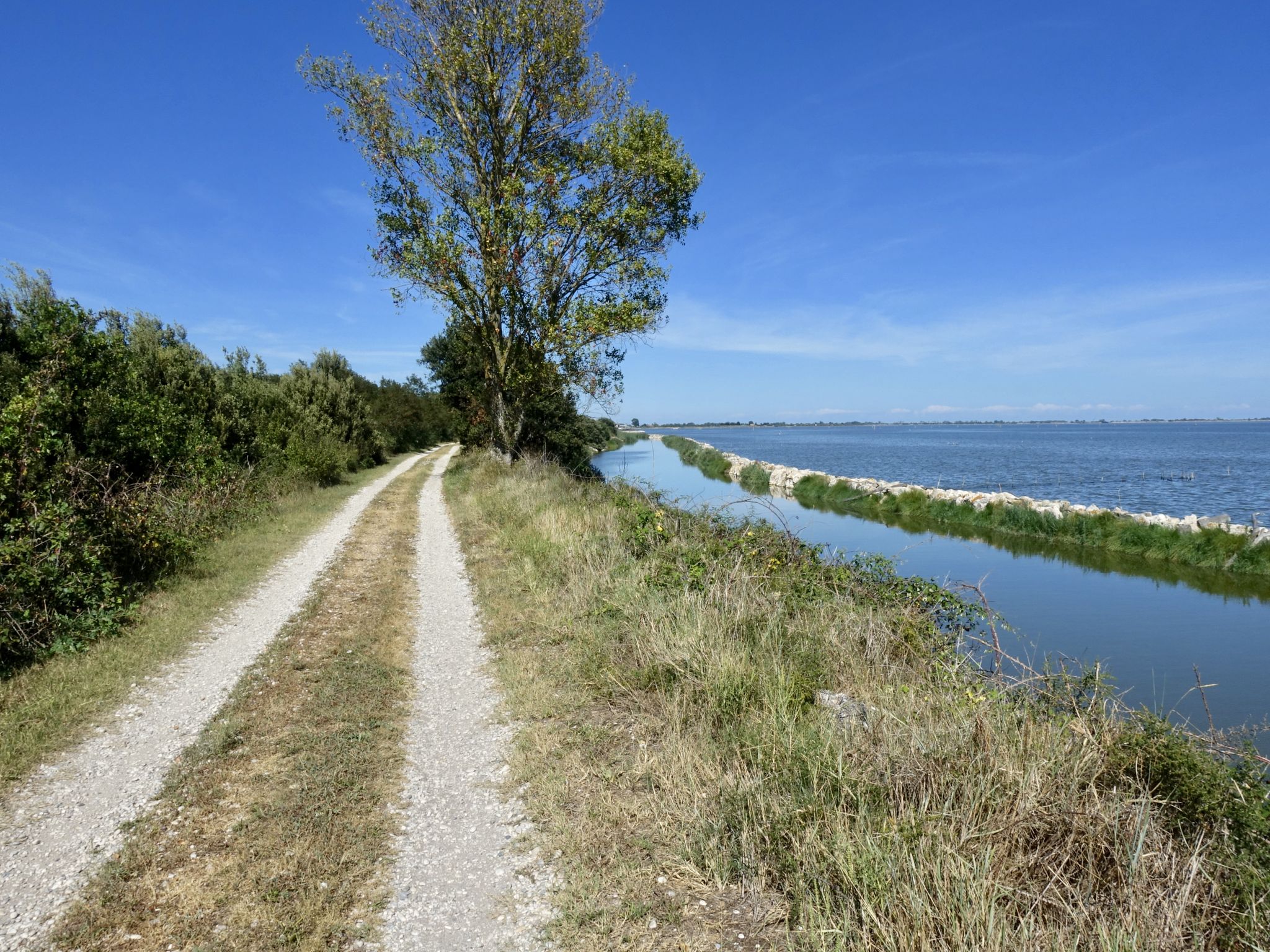
Bologna to Venice – along the waterways
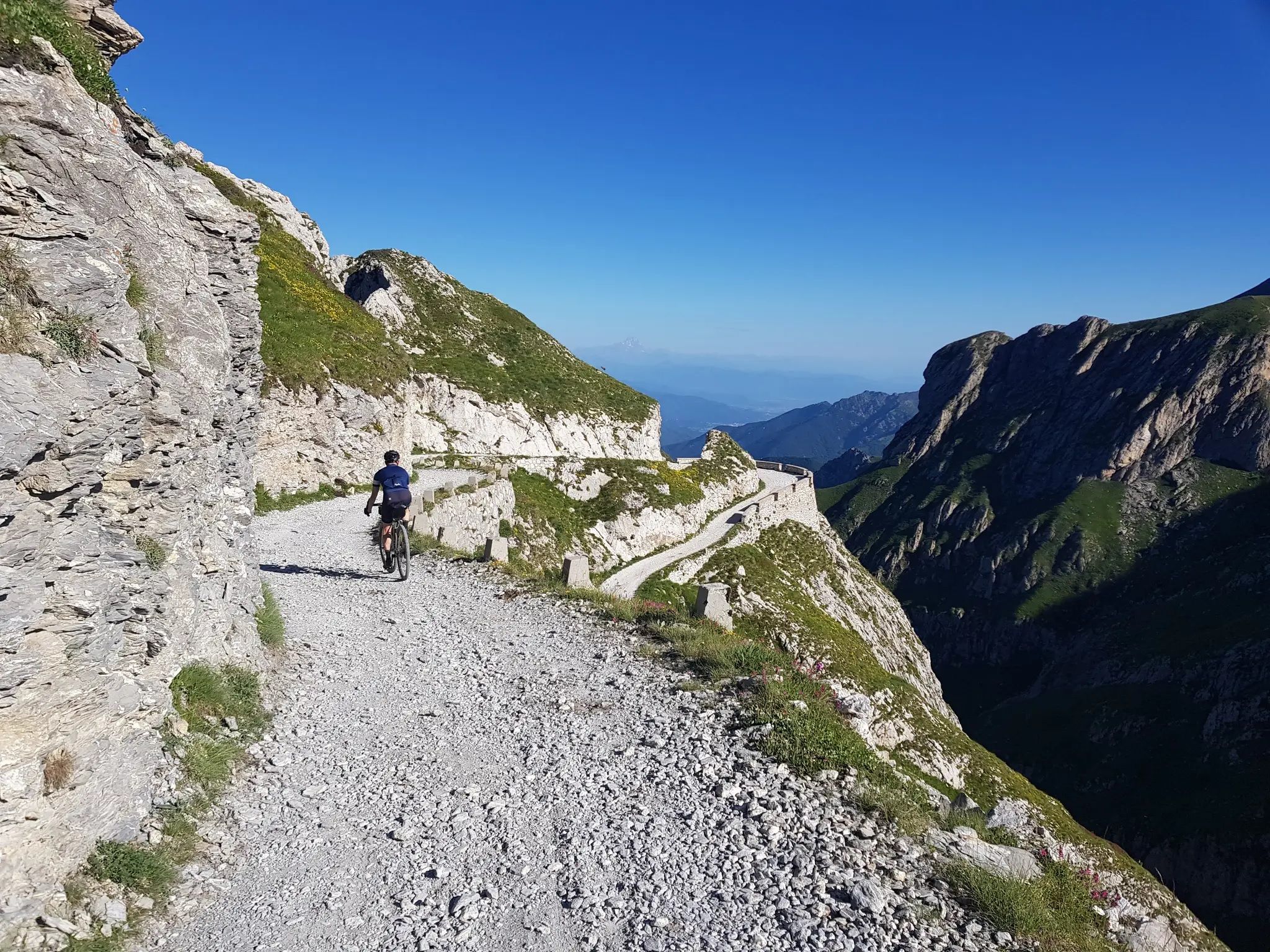
From the boot’s toe to the heel – the most beautiful cycling Tours in Italy
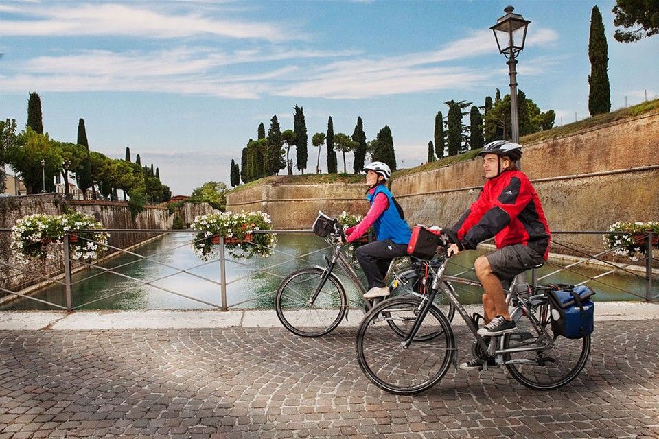
Between Lake Garda and the Adriatic Sea – cycle Tours in Italy’s Veneto
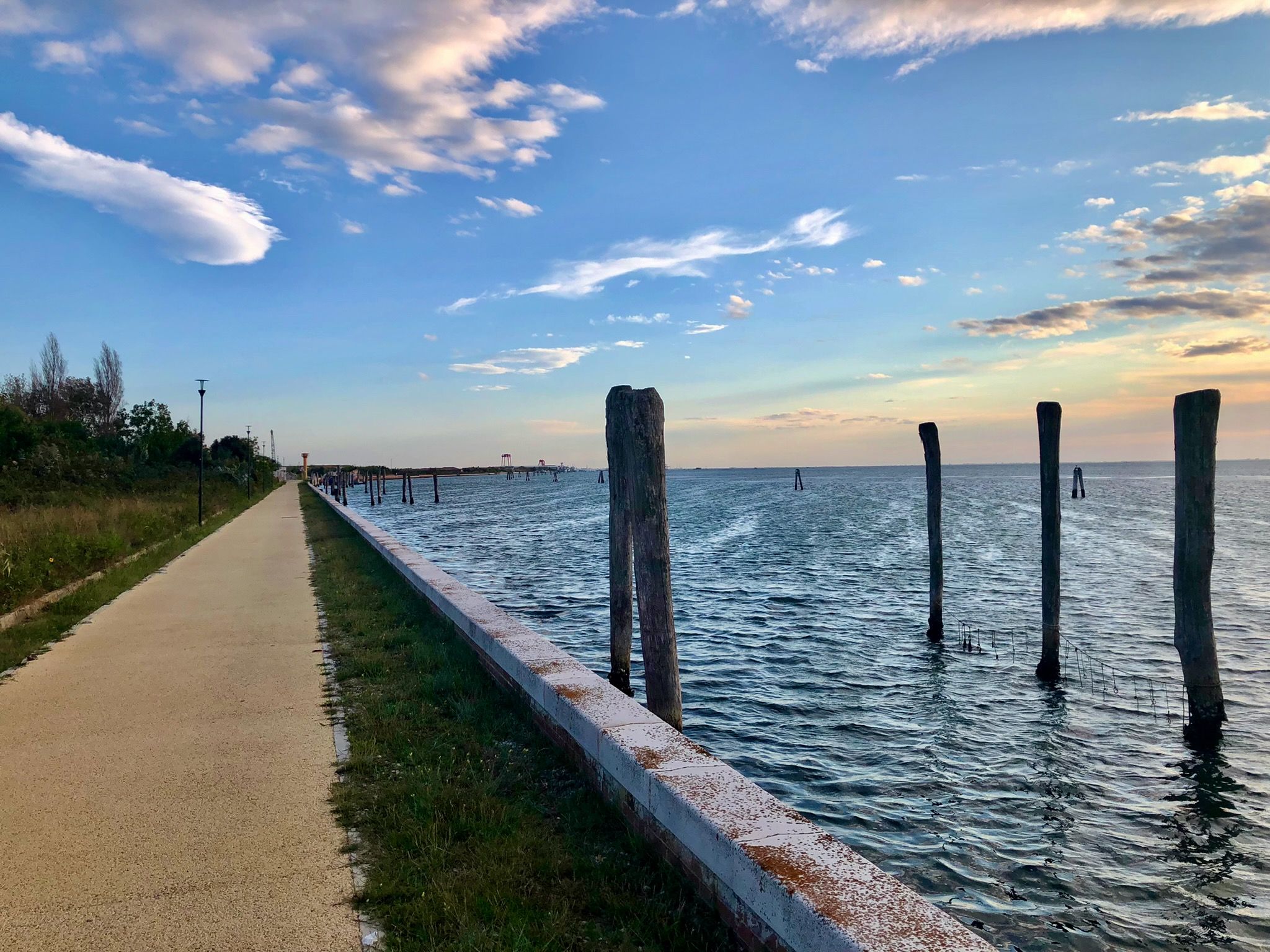
A different Venice – cycling on three lagoon islands
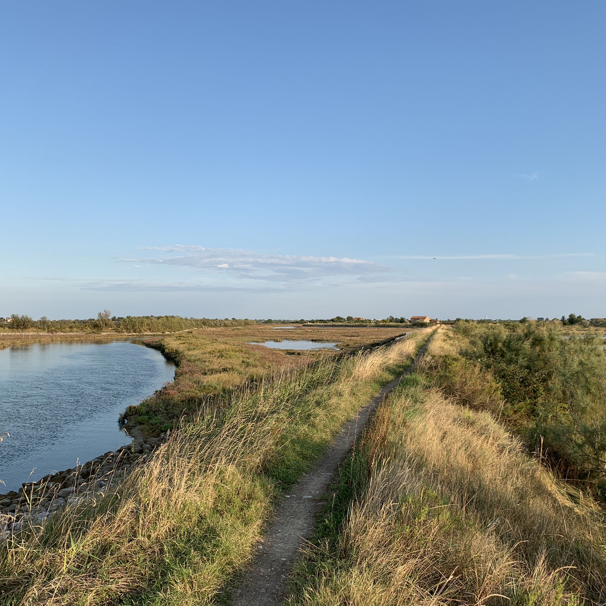
Cycling around Venetian Lakeon
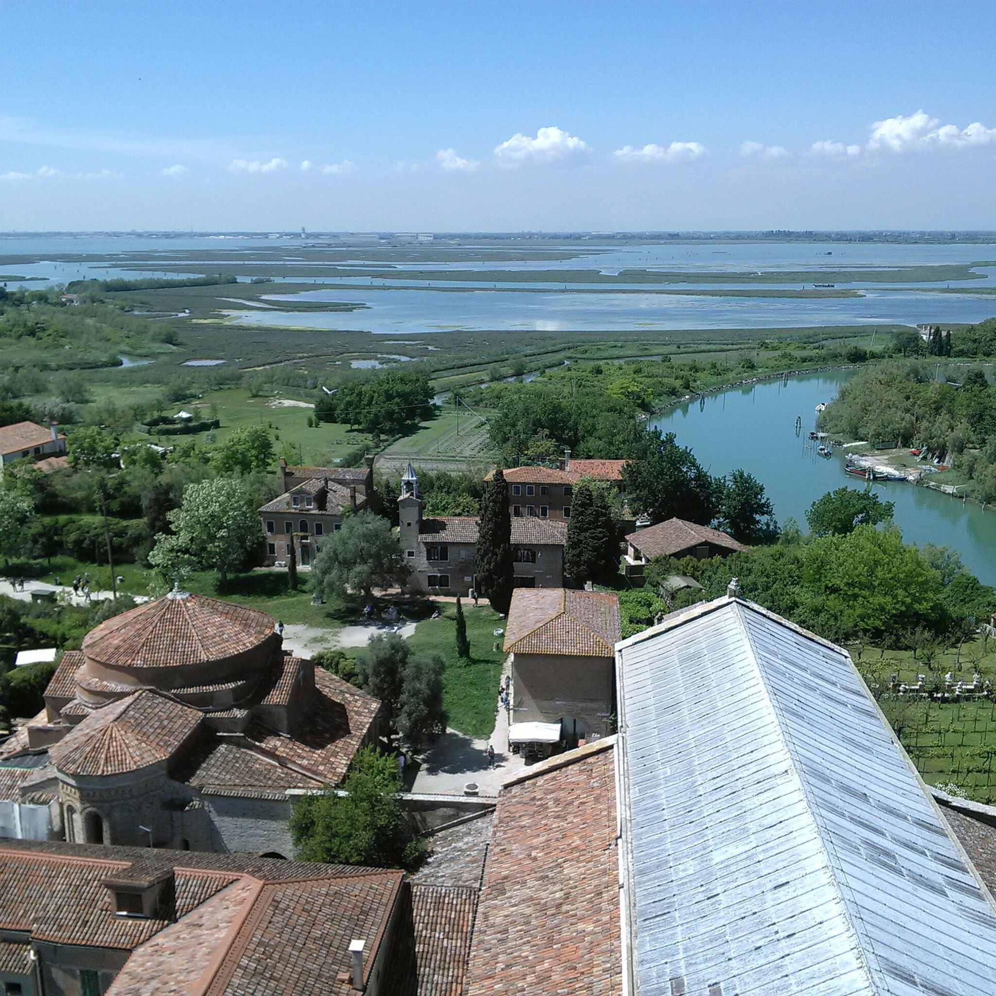
Hiking around Venetian Lakeon
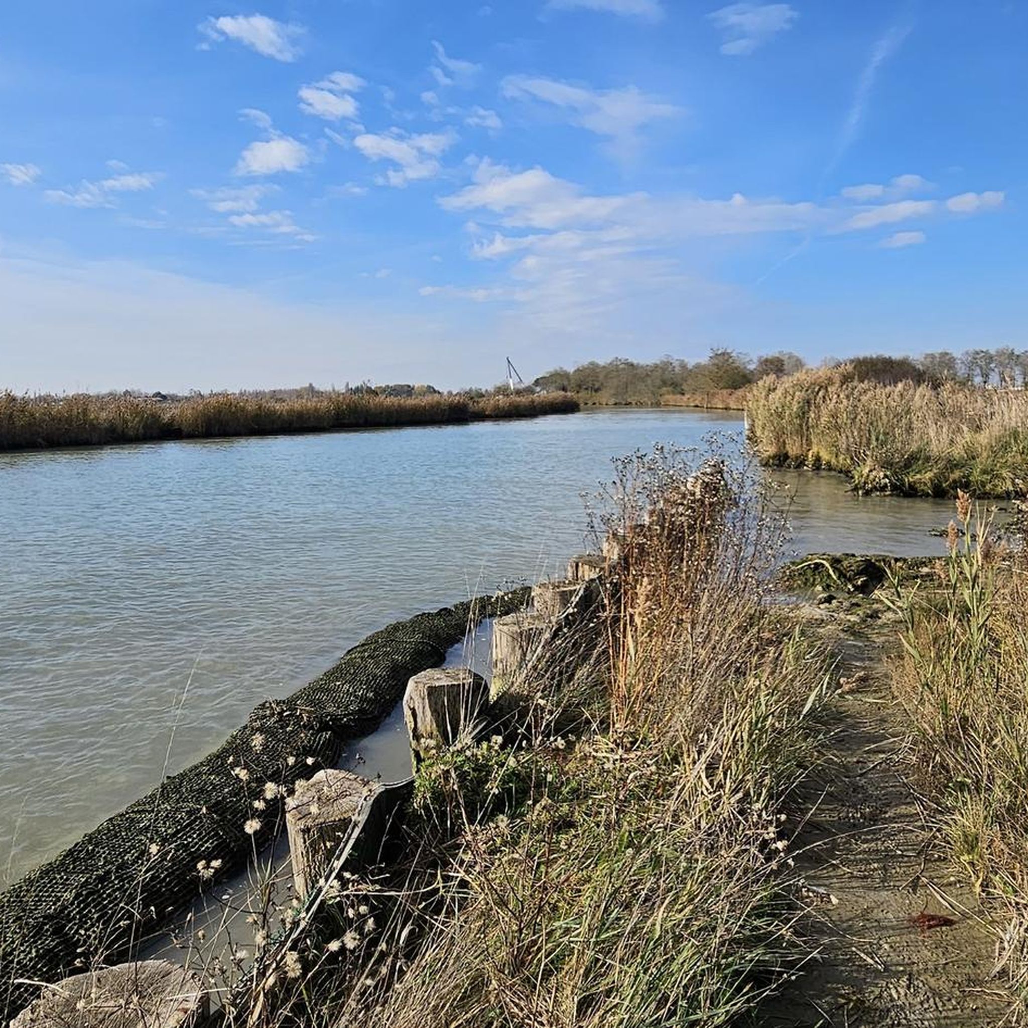
Running Trails around Venetian Lakeon
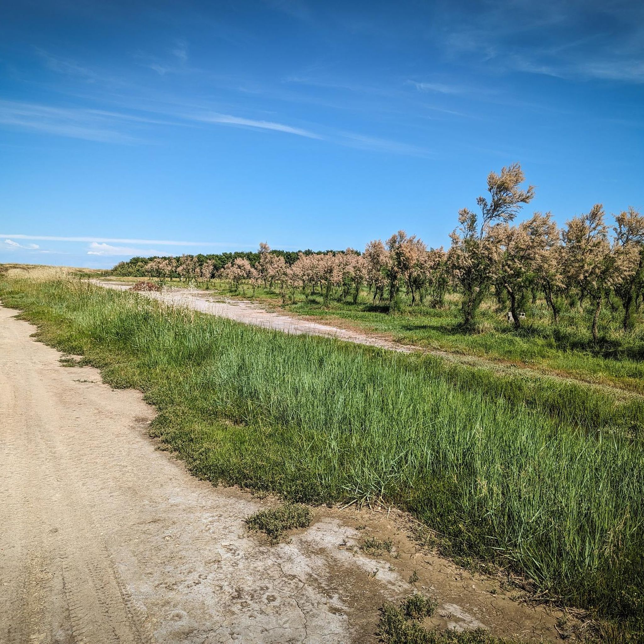
Road Cycling Routes around Venetian Lakeon
Other adventures around Venetian Lakeon


Tips from the Community

The Church of San Giacomo Apostolo is one of the most important and majestic sacred buildings in Chioggia, located along the very central Corso del Popolo. Rebuilt in the first half of the eighteenth century on a pre-existing structure, the church strikes with its imposing Baroque facade and its spacious single-nave interior, dominated by a richly frescoed ceiling that narrates the glories of the Saint. Inside, a rich collection of artworks is preserved, including altarpieces by Venetian masters and a revered icon of the Madonna della Navicella, linked to a famous Marian apparition in 1508. This temple is not only an architectural masterpiece but also a fundamental spiritual and historical landmark, capable of recounting the deep popular devotion and the indissoluble bond of the Chioggia community with its maritime roots.
0
0
The Ponte dell'Isola dell'Unione is the key infrastructure that unites Chioggia and Sottomarina, connecting the historicity of "Little Venice" to the vibrancy of its seaside soul. Crossing the lagoon, this bridge is not just a crucial communication route for vehicular and pedestrian traffic, but a true umbilical cord that transforms two distinct realities into a single urban organism. Strolling along its sidewalks, you can enjoy a spectacular view of the southern lagoon, with the moored boats, the distant casoni, and the unmistakable profiles of the two towns. For residents and tourists, it represents a suggestive transit point, particularly fascinating at sunset, when the lights reflect on the water, summarizing in a single glance the maritime, historical, and tourist essence of this unique territory.
0
0
The Canal Vena is the most picturesque and vital waterway of Chioggia, often described as the city's "Grand Canal". What makes it unique are its nine bridges, each with its own history and physiognomy, connecting the side foundations and allowing passage between the alleys. The most majestic is undoubtedly the Ponte di Vigo, located at the northern end of the canal, towards the lagoon. Built of marble in 1685, it represents the monumental gateway to the city: with its imposing staircase and elegant decorations, it offers a spectacular view stretching from the canal to the nearby island of Pellestrina. The other eight bridges, such as the Ponte di San Giacomo or the Ponte Caneva, follow one another along the route, offering postcard-perfect glimpses between moored boats and historic markets. These crossings are not just architectural structures, but the beating heart of Chioggia life, where the Venetian atmosphere blends with the authenticity of the fishing village.
0
0

Park where you can see the Venice skyline.
0
0

It is part of the cycle network that runs alongside the Brenta and other rivers in the direction of Venice or towards the mouth of the Brenta
2
0

There are many interesting things near the waterway
0
0

Basilica of San Giacomo, Chioggia The Church of San Giacomo was built in 1740 according to the design of the Venetian Pietro Pelle and completed by his nephew Domenico Pelle. The present church, with a single nave, was built on the site of an earlier Romanesque church with three naves supported by low brick columns that had been demolished by decay. It was consecrated in 1790 and became a Basilicata in 1806 after the relic of the Madonna della Navicella was placed within its walls. The church houses numerous works of art. Between 1989 and 1992, it housed the relics of the patron saints Felice and Fortunato and was the site of numerous religious ceremonies during the restoration of the cathedral. Text / Source: Municipality of Chioggia https://www.comune.chioggia.ve.it/vivere-il-comune/luoghi/basilica-di-san-giacomo-chioggia/
15
0
One of the major projects completed during the Fascist era is the Sottomarina Dam, which, together with the Ca' Roman Dam built a few years earlier, completes the mouth of the Port of Chioggia. Construction began in the years following the First World War. Like the Murazzi (sea walls), the dam was constructed of brick and boulders of local Istrian stone and, in addition to finally completing the entrance to the Port of Chioggia, also allowed for a further expansion of the beach. The inauguration, as mentioned, took place in the midst of the Fascist regime on April 28, 1935, in the presence of the Duke of Aosta. The dam was immediately embraced by the local population, especially the residents of Sottomarina, a popular destination for their walks, so much so that many refer to it as "Sailors' Square." Text / Source: Lidi di Chioggia https://www.lididichioggia.it/la-diga-murazzi/
15
0
Frequently Asked Questions
How many gravel bike trails are available around Venetian Lakeon?
The Venetian Lakeon area offers a wide variety of gravel biking experiences, with over 190 routes recorded on komoot. These range from easy, flat rides along the lagoon to more challenging paths extending towards the Venetian Prealps.
What is the best time of year for gravel biking around Venetian Lakeon?
The ideal time for gravel biking in the Venetian Lakeon region is typically from spring to autumn, when the weather is mild and pleasant. Winter riding is also possible for those prepared for cooler temperatures, offering a different, quieter perspective of the landscape.
Are there gravel routes suitable for beginners or families?
Yes, the Venetian Lakeon area is largely characterized by flat terrain, making it very accessible for beginners and families. Many routes follow serene cycle paths along rivers and canals, or former railway lines, providing gentle and enjoyable rides. For example, routes exploring the lagoon's shores or urban parks like San Giuliano Park are often suitable for all skill levels.
Can I bring my dog on the gravel trails?
While many outdoor areas in Italy are dog-friendly, it's always best to check specific local regulations for nature reserves or protected areas you plan to visit. Generally, dogs on a leash are permitted on public paths, but always ensure they are well-behaved and that you clean up after them.
What kind of landscapes can I expect to see on these gravel rides?
Gravel biking around Venetian Lakeon offers incredibly diverse landscapes. You'll encounter the unique tidal system of the Venetian Lagoon with its salt marshes and mudflats, serene river paths along the Sile and Brenta, and coastal areas with sand dunes and pine forests. Some routes also utilize former railway lines, providing tree-lined journeys through the Veneto countryside.
Are there any notable landmarks or attractions along the gravel routes?
Absolutely! Many gravel routes pass by significant historical and natural attractions. You might cycle past the Doge's Palace (Palazzo Ducale), see the Punta Sabbioni Lighthouse, or enjoy views of the Bridge of Sighs. Routes often connect charming towns like Treviso and Bassano del Grappa, and you can explore nature reserves such as the Dune degli Alberoni Oasis.
Are there any circular gravel routes available?
Yes, many gravel routes in the Venetian Lakeon area are designed as loops, allowing you to start and finish at the same point. For instance, the Brenta Canal lock in Stra – Villa Pisani National Museum loop from Chioggia is a popular circular option. Another great choice is the San Giuliano Park – Access to the Mestre Woods loop from Piazzale Roma, which offers views of the Venice skyline.
What is the general difficulty level of gravel biking in the Venetian Lakeon area?
The majority of gravel routes around Venetian Lakeon are considered moderate, with 115 out of 193 routes falling into this category. There are also 45 easy routes, perfect for a relaxed ride, and 33 more difficult options for those seeking a greater challenge, especially as routes venture closer to the Venetian Prealps.
Where can I find amenities like cafes or pubs along the trails?
Many gravel routes in the Veneto region pass through or near charming villages and towns, offering opportunities to stop at cafes, restaurants, or pubs. Especially in areas like Chioggia or along the major river paths, you'll find places to refuel and enjoy local cuisine. Planning your route with komoot can help you identify such points of interest.
How can I reach the starting points of these gravel trails, especially regarding parking or public transport?
The Venetian Lakeon area is well-connected. Many starting points for gravel trails are accessible by car, with parking often available in nearby towns or designated areas. For those relying on public transport, regional trains and buses connect many towns in the Veneto region, and some routes are even designed to be accessible from major transport hubs like Piazzale Roma in Venice.
What makes gravel biking in the Venetian Lagoon unique?
The uniqueness of gravel biking here lies in the blend of natural beauty, cultural heritage, and varied terrain. You can cycle through a UNESCO World Heritage site, explore a dynamic coastal wetland, follow ancient waterways, and even use bicycle ferries to cross parts of the lagoon, offering unparalleled views of iconic landmarks like Piazza San Marco. It's an experience that combines sport, nature, and history.
What do other gravel bikers say about the trails in Venetian Lakeon?
The gravel trails around Venetian Lakeon are highly regarded by the komoot community, holding an average rating of 4.4 stars from over 1,500 reviews. Riders often praise the diverse scenery, the well-maintained paths, and the unique experience of cycling through such a historically and naturally rich region.
Are there any routes that offer a mix of coastal and inland scenery?
Yes, several routes provide a fantastic blend of coastal and inland landscapes. For example, the Brenta River mouths at Isola Verde – View of Sottomarina loop from Chioggia takes you along the coast and near river estuaries. Other routes venture from the lagoon's edge towards the countryside, allowing you to experience both the unique wetland environment and the agricultural beauty of the Veneto region.
Most popular routes around Venetian Lakeon
Most popular attractions around Venetian Lakeon

Get inspired with the komoot mobile app


Explore more
Browse the best Gravel rides in other regions.
