The best gravel rides around Réserve naturelle du Tanet-Gazon-du-Faing
4.2
(57)
449
riders
37
rides
Gravel biking around Réserve naturelle du Tanet-Gazon-du-Faing offers diverse terrain within the Vosges mountains. The region features expansive high stubble fields, which are ancient moorlands at altitudes between 1,160 and 1,300 meters. Significant peat bogs, known as "faing," add to the landscape, encircled by mountain forests of beech, fir, and spruce. Granitic rock formations are present along the ridge, providing varied surfaces for gravel bike trails.
Best gravel bike trails around Réserve naturelle du Tanet-Gazon-du-Faing
- The most popular gravel bike…
Last updated: May 21, 2026
5.0
(1)
3
riders
23.1km
02:18
720m
720m
Hard gravel ride. Very good fitness required. You may need to push your bike for some segments of this route.
3.0
(1)
8
riders
Hard gravel ride. Very good fitness required. Mostly paved surfaces. Suitable for all skill levels.

Sign up for free
3.0
(1)
6
riders
14.4km
01:20
440m
440m
Moderate gravel ride. Good fitness required. Mostly paved surfaces. Suitable for all skill levels.
3.0
(1)
32
riders
60.2km
04:22
1,320m
1,320m
Hard gravel ride. Very good fitness required. Mostly paved surfaces. Suitable for all skill levels.
4
riders
48.2km
03:41
1,120m
1,110m
Hard gravel ride. Very good fitness required. Mostly paved surfaces. Suitable for all skill levels.
Get access to more routes and recommendations from other explorers.
Sign up for free
Already have an account?
Our route recommendations are based on thousands of hikes, rides, and runs completed by other people on komoot.
Start today with a free account
Your next adventure awaits.
Login or Signup
Popular around Réserve naturelle du Tanet-Gazon-du-Faing
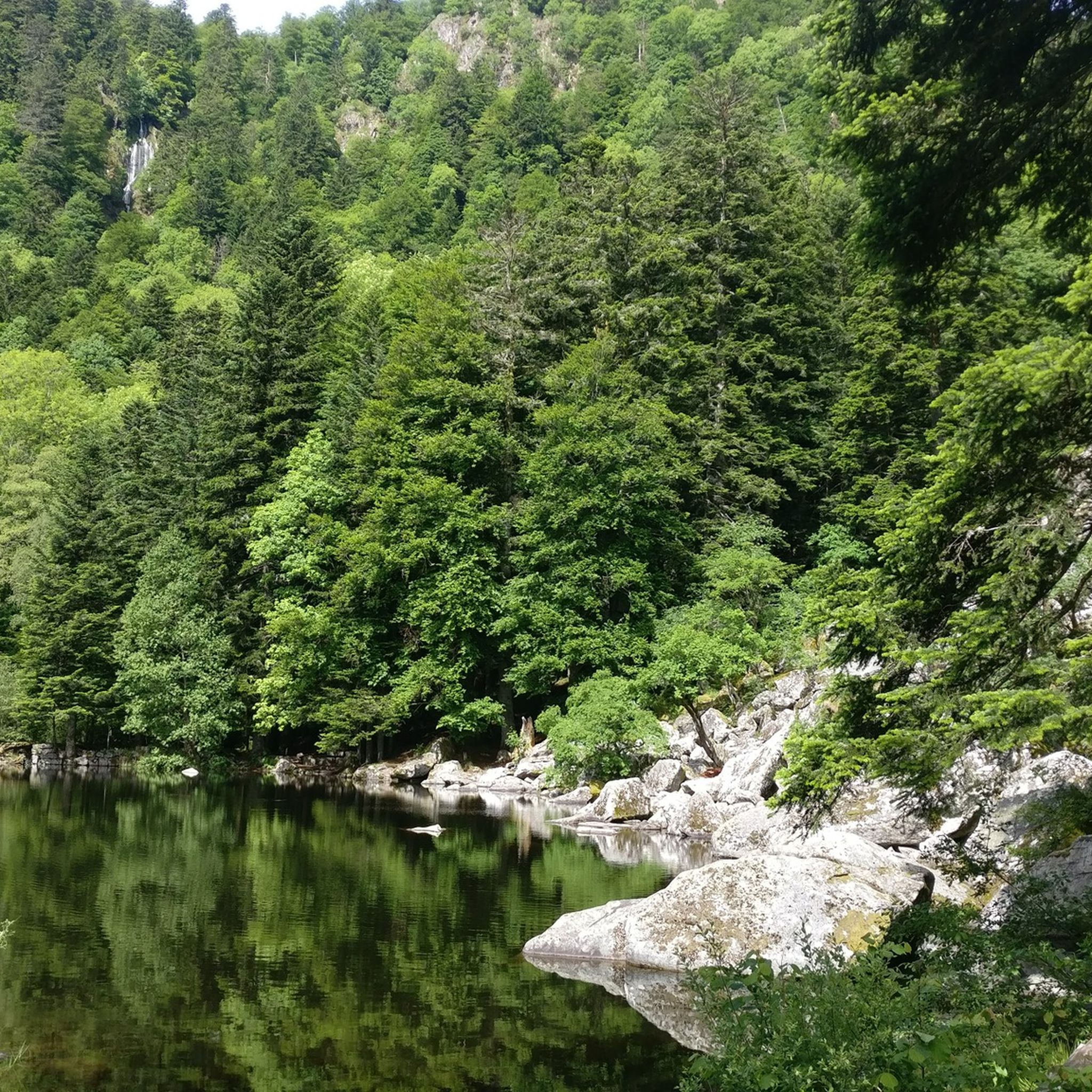
Hiking around Réserve naturelle du Tanet-Gazon-du-Faing
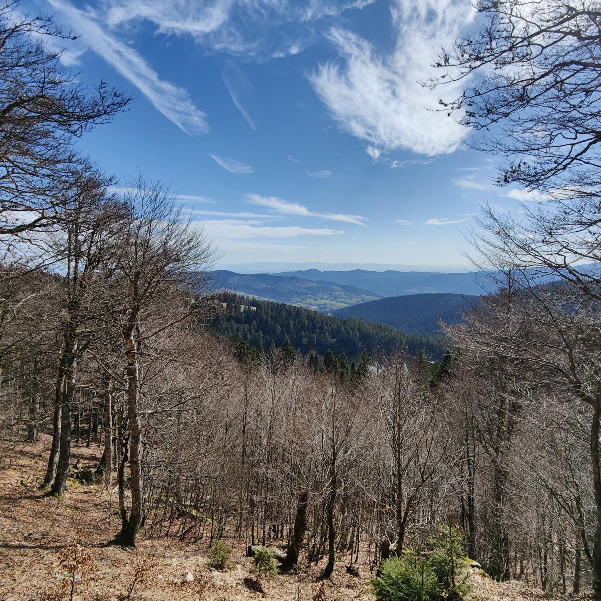
Road Cycling Routes around Réserve naturelle du Tanet-Gazon-du-Faing
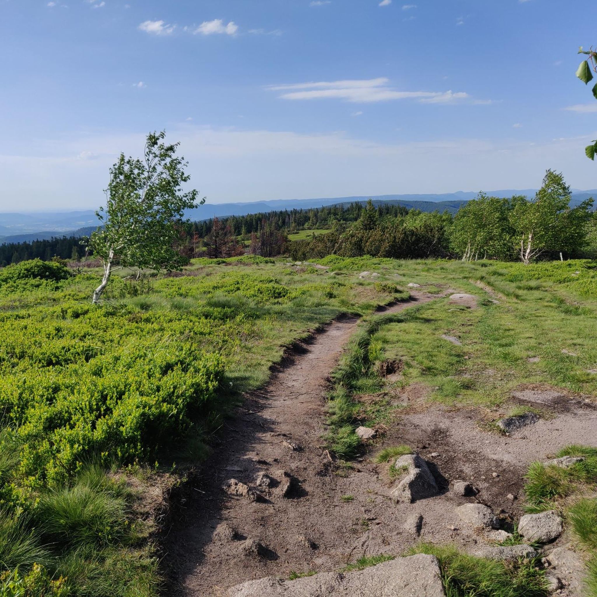
MTB Trails around Réserve naturelle du Tanet-Gazon-du-Faing
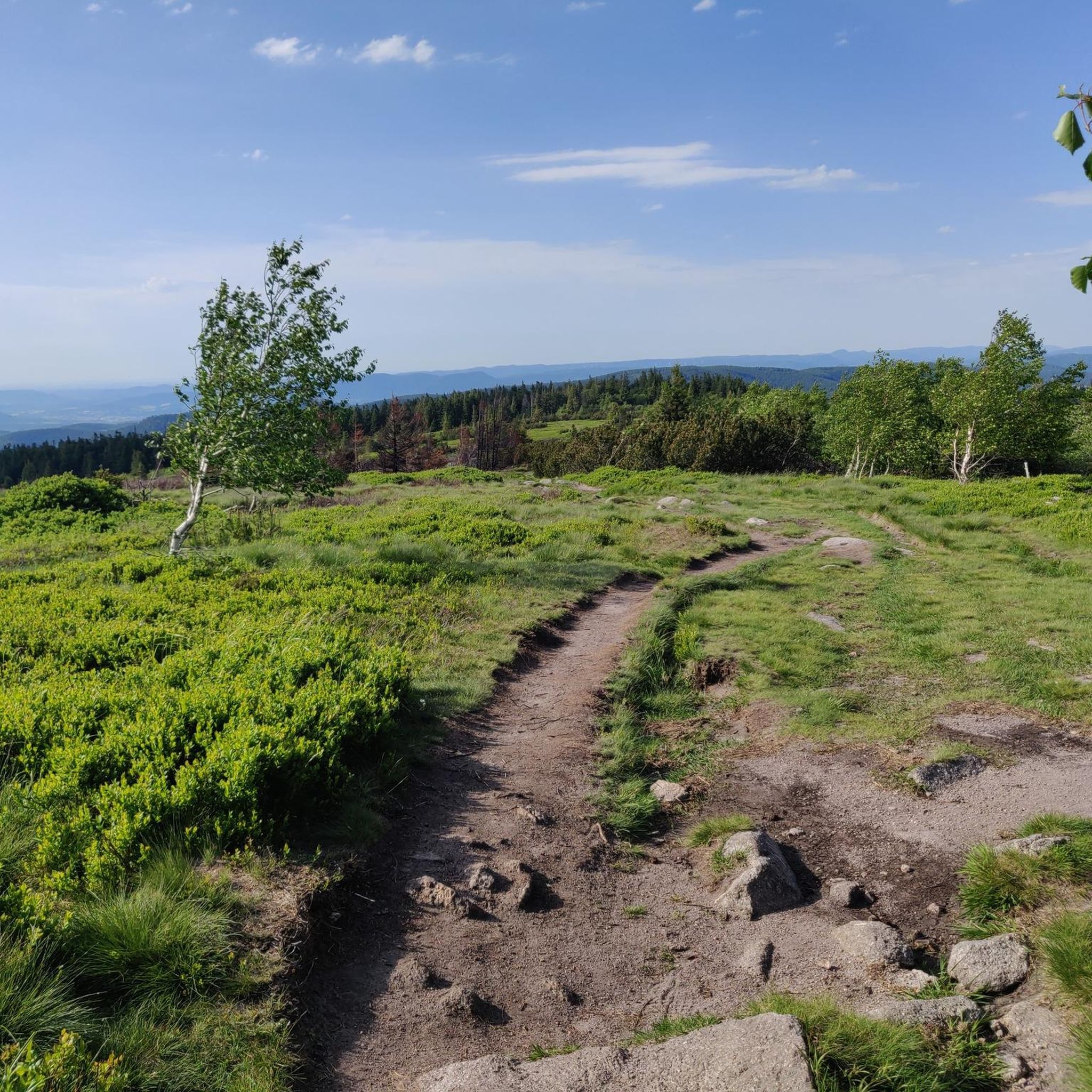
Running Trails around Réserve naturelle du Tanet-Gazon-du-Faing
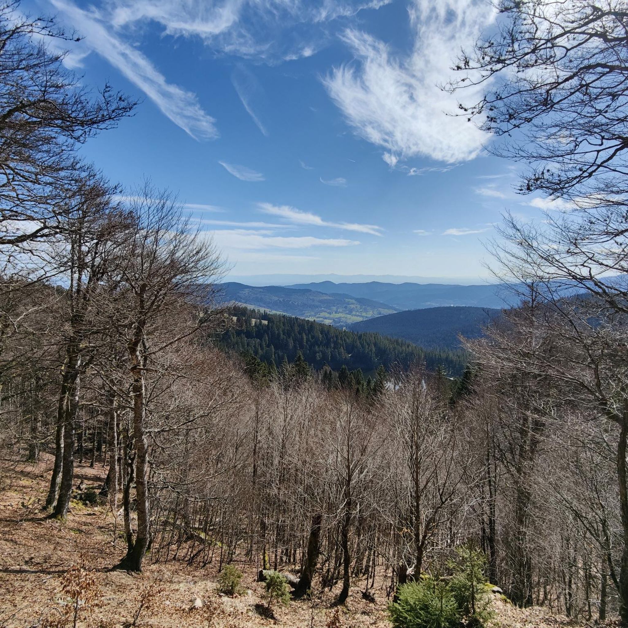
Cycling around Réserve naturelle du Tanet-Gazon-du-Faing
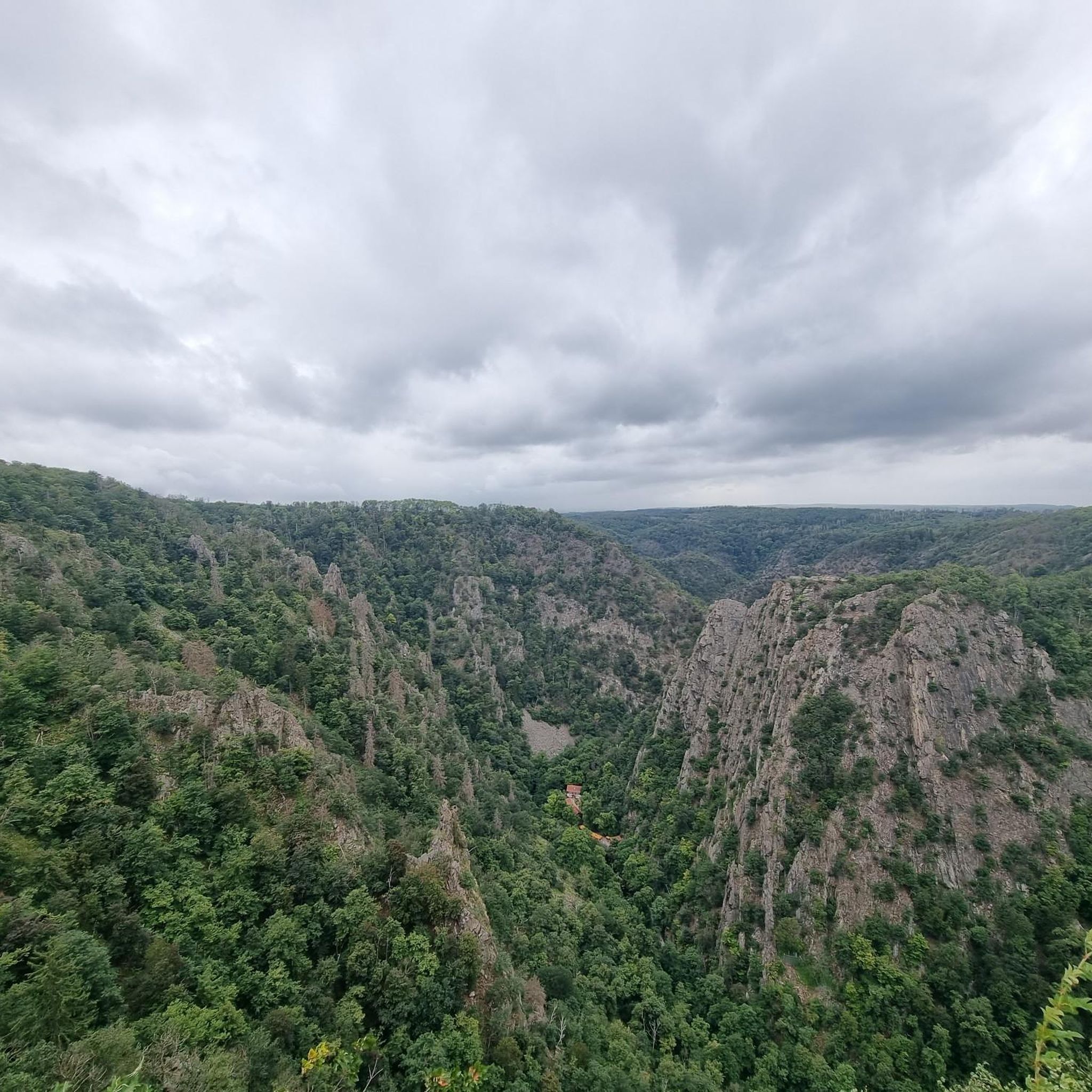
Mountain Hikes around Réserve naturelle du Tanet-Gazon-du-Faing
Tips from the Community


The vastness and the quiet leave a beautiful story in your mind.
0
0

Aubure, the highest village in Alsace, is located at an altitude of 800 m on a bowl-shaped plateau overlooking the Alsatian plain, at the crossroads of the highest points of three valleys: Sainte-Marie-aux-Mines to the north, Lapoutroie and Kaysersberg to the south, and Ribeauvillé to the east. Protected from the west winds by the Brézouard massif, the village benefits from a unique microclimate. Thanks to this microclimate and its mountain location, Aubure became known from the late 19th century as a health resort for air cures, with hotels and sanatoriums emerging alongside traditional guesthouses. (https://aubure.fr)
0
0

The 19th-century Protestant church, built of pink sandstone, is the heart of the town. From the grand staircase, you have a beautiful view over the large square with its small cafés and restaurants, and the Lion Fountain from 1576, which originally stood in front of the town hall.
0
0

very rocky and bumpy, slippery when wet
0
0

Eyes wander, little hands nibble... everywhere are the most delicious, sweetest grapes ever!
0
0

Vineyards wherever you look - a unique sight.
7
0

The upper city gate, the Dolder (1291), was built at the same time as the first fortifications at the end of the 13th century and served as a defensive tower, watchtower, and bell tower. In Alsatian, "Dolder" means "highest point, peak." At 25 meters high, this tower threatened the enemy with the stark and warlike appearance of its exterior, while the inner facade, facing the city, had delighted the inhabitants since the 16th century with its attractive arrangement of wooden beams and four corbelled vaults. Its first level formed one of the starting points of the patrol path that ran along the top of the ramparts around the city.
9
0
Frequently Asked Questions
How many gravel bike trails are available in the Réserve naturelle du Tanet-Gazon-du-Faing?
There are nearly 50 gravel bike trails available in the Réserve naturelle du Tanet-Gazon-du-Faing, offering a wide range of options for different skill levels and preferences.
What kind of terrain can I expect on the gravel bike trails?
The terrain is diverse, featuring expansive high stubble fields (ancient moorlands), significant peat bogs, and mountain forests composed of beech, fir, and spruce. You'll encounter a mix of forest paths, open areas, and some granitic rock formations, providing varied surfaces ideal for gravel biking.
Are there any family-friendly gravel biking options?
While many routes are rated difficult, there are options for moderate and easy rides. For a moderate experience, consider the Black Lake – Lac Blanc loop from Pairis, which covers 14.4 km with manageable elevation, suitable for families with some biking experience.
Can I bring my dog on the gravel bike trails?
The Réserve naturelle du Tanet-Gazon-du-Faing is a sensitive natural environment. While specific rules for dogs on gravel bike trails are not detailed, it's generally recommended to keep dogs on a leash in nature reserves to protect local wildlife and flora. Always check local signage for the most current regulations.
What are some notable natural features or viewpoints I can see?
You can explore the unique Hautes-Chaumes (high stubble fields) and peat bogs. Key viewpoints include Gazon du Faing and Le Tanet Summit, which offer panoramic views, potentially even of the Bernese Alps on clear days. The Taubenklangfelsen Viewpoint is another excellent spot for scenic vistas.
Are there any circular gravel routes?
Yes, many of the gravel routes in the area are circular. For example, the Lake Longemer – Lake Longemer loop from Le Valtin offers a 32 km circular path around the lake with forest sections.
What is the best time of year to go gravel biking here?
The cooler temperatures at altitude make summer a very pleasant time for gravel biking. Spring and autumn also offer beautiful scenery, but be mindful of potential weather changes. Winter conditions can be challenging due to snow and ice, especially at higher elevations.
Where can I park my car when visiting the Réserve naturelle du Tanet-Gazon-du-Faing for gravel biking?
Parking is generally available at key access points and trailheads around the reserve, such as near the Col du Bonhomme or other popular starting points for routes like the Bikepark Lac Blanc – Route des Crêtes loop. Look for designated parking areas to ensure you are not obstructing access or damaging the sensitive environment.
What are the difficulty levels of the gravel bike trails?
The trails cater to various skill levels, with 3 easy, 9 moderate, and 37 difficult routes. This means you can find everything from gentle rides through forests to challenging ascents and descents across the high stubble fields.
Are there any regulations or permits required for gravel biking in the nature reserve?
As a nature reserve, human activity is closely monitored to protect the vulnerable flora and fauna. While specific permits for gravel biking are not typically required, it's crucial to stick to marked trails, respect wildlife, and avoid disturbing the natural environment. Always check official local regulations before your ride, for example, on the Visit Alsace website.
What do other gravel bikers say about the trails in this region?
The area is highly rated by the komoot community, with an average score of 4.4 stars from over 80 reviews. Reviewers often praise the diverse landscapes, from the open high stubble fields to the dense mountain forests, and the variety of challenging routes available.
Are there options for longer gravel bike rides?
Yes, there are several options for longer rides. For instance, the Kaysersberg – View of the Kaysersberg Valley loop from Soultzeren is a challenging 68.3 km route, offering a substantial ride through varied terrain and scenic views.
What kind of wildlife might I encounter while gravel biking?
The mountain forests are home to diverse wildlife, including deer, chamois, and roe deer. Birdwatchers might spot species like the Black Woodpecker, Capercaillie, and Tengmalm's Owl. Remember to maintain a respectful distance and avoid disturbing animals.
Are there places to eat or stay near the gravel trails?
Yes, there are villages and towns surrounding the reserve, such as Le Valtin, Plainfaing, and Orbey, which offer various accommodation options, gîtes, cafes, and restaurants where you can refuel and relax after your ride.
Most popular routes around Réserve naturelle du Tanet-Gazon-du-Faing
Most popular attractions around Réserve naturelle du Tanet-Gazon-du-Faing

Get inspired with the komoot mobile app


Explore more
Browse the best Gravel rides in other regions.
