The best road cycling routes around Réserve naturelle du Tanet-Gazon-du-Faing
4.4
(449)
15,272
riders
82
rides
Road cycling routes around Réserve naturelle du Tanet-Gazon-du-Faing traverse the Grande Crête des Vosges, offering varied terrain. The region features high stubble plateaus between 1,200 and 1,300 meters above sea level, providing open stretches with panoramic views over the Vosges mountains. Mountain forests of beech, fir, and spruce trees offer shaded routes, while the area also includes significant peat bogs and overlooks lakes such as Lac Blanc. This combination of challenging ascents and open plateaus caters to diverse road cycling…
Last updated: September 4, 2026
4.0
(3)
6
riders
84.4km
04:20
1,470m
1,470m
Hard road ride. Very good fitness required. Mostly well-paved surfaces and easy to ride.
14
riders
20.3km
00:54
220m
220m
Easy road ride. Great for any fitness level. Mostly well-paved surfaces and easy to ride.

Sign up for free
5.0
(2)
152
riders
96.7km
05:24
2,110m
2,110m
Hard road ride. Very good fitness required. Mostly well-paved surfaces and easy to ride.
3.5
(2)
22
riders
65.2km
03:25
1,160m
1,160m
Hard road ride. Very good fitness required. Some segments of this route may be unpaved and difficult to ride.
4.7
(3)
88
riders
39.3km
02:40
1,270m
1,270m
Hard road ride. Very good fitness required. Mostly well-paved surfaces and easy to ride.
Get access to more routes and recommendations from other explorers.
Sign up for free
Already have an account?
Our route recommendations are based on thousands of hikes, rides, and runs completed by other people on komoot.
Start today with a free account
Your next adventure awaits.
Login or Signup
Popular around Réserve naturelle du Tanet-Gazon-du-Faing
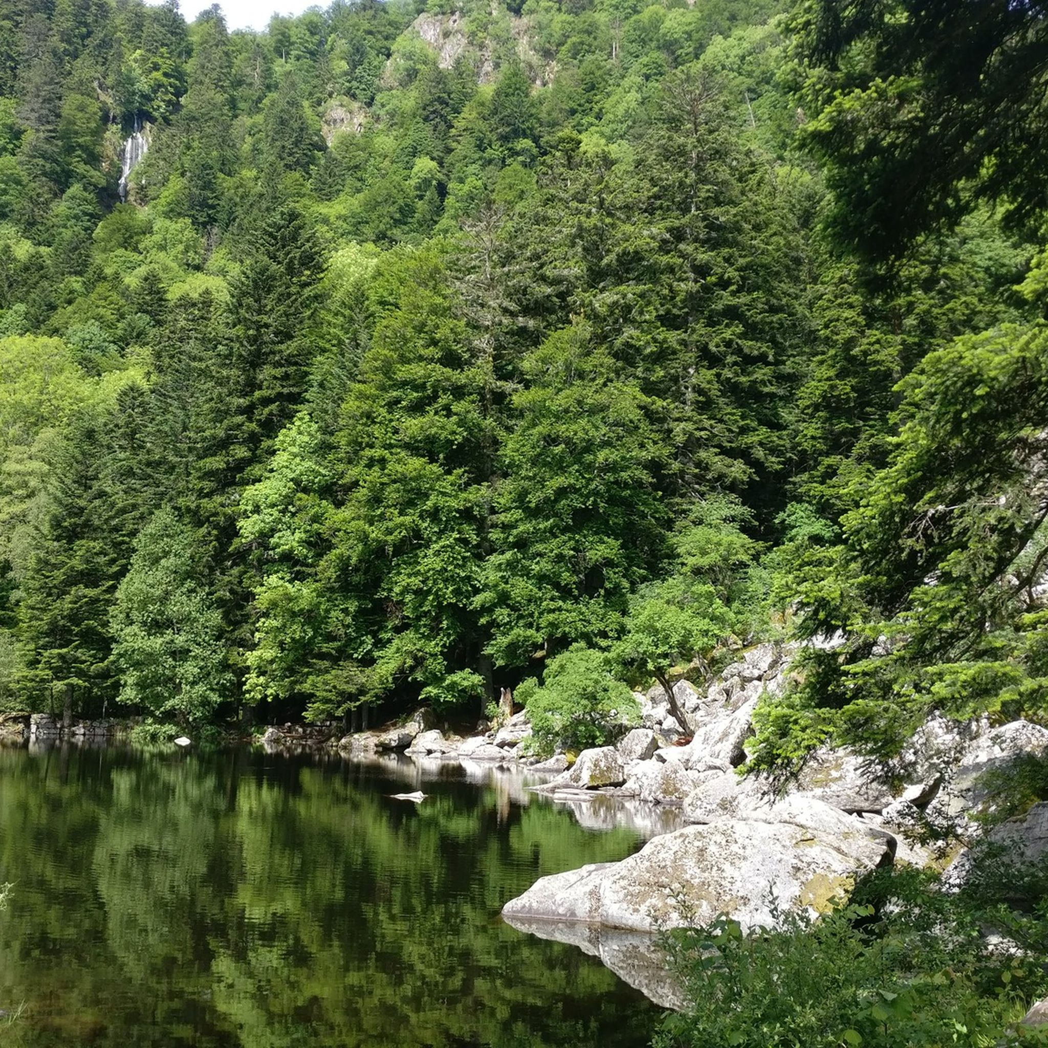
Hiking around Réserve naturelle du Tanet-Gazon-du-Faing
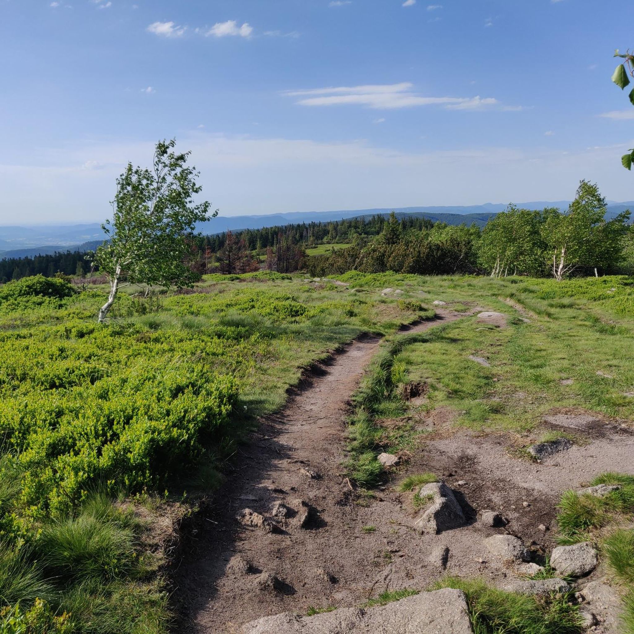
MTB Trails around Réserve naturelle du Tanet-Gazon-du-Faing
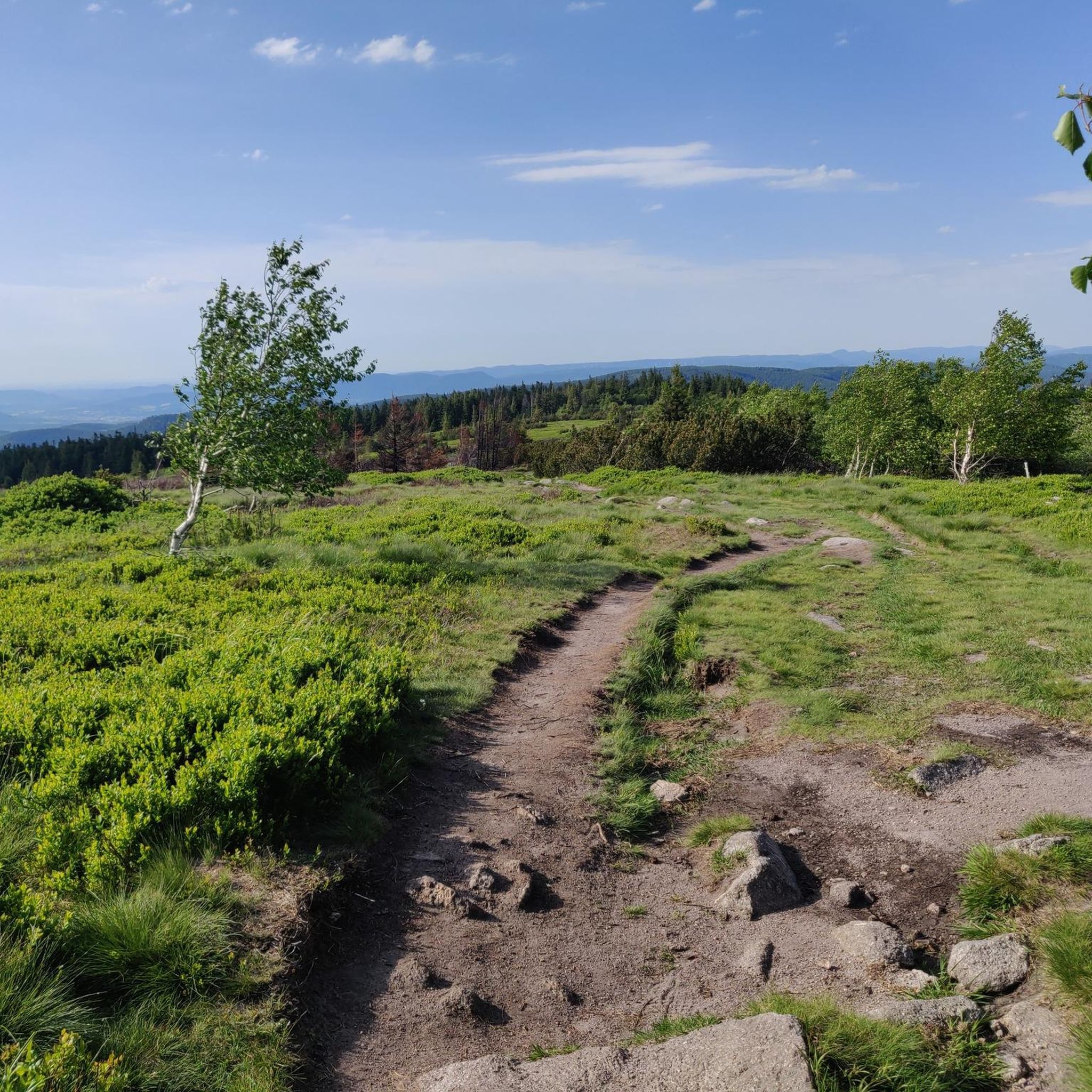
Running Trails around Réserve naturelle du Tanet-Gazon-du-Faing
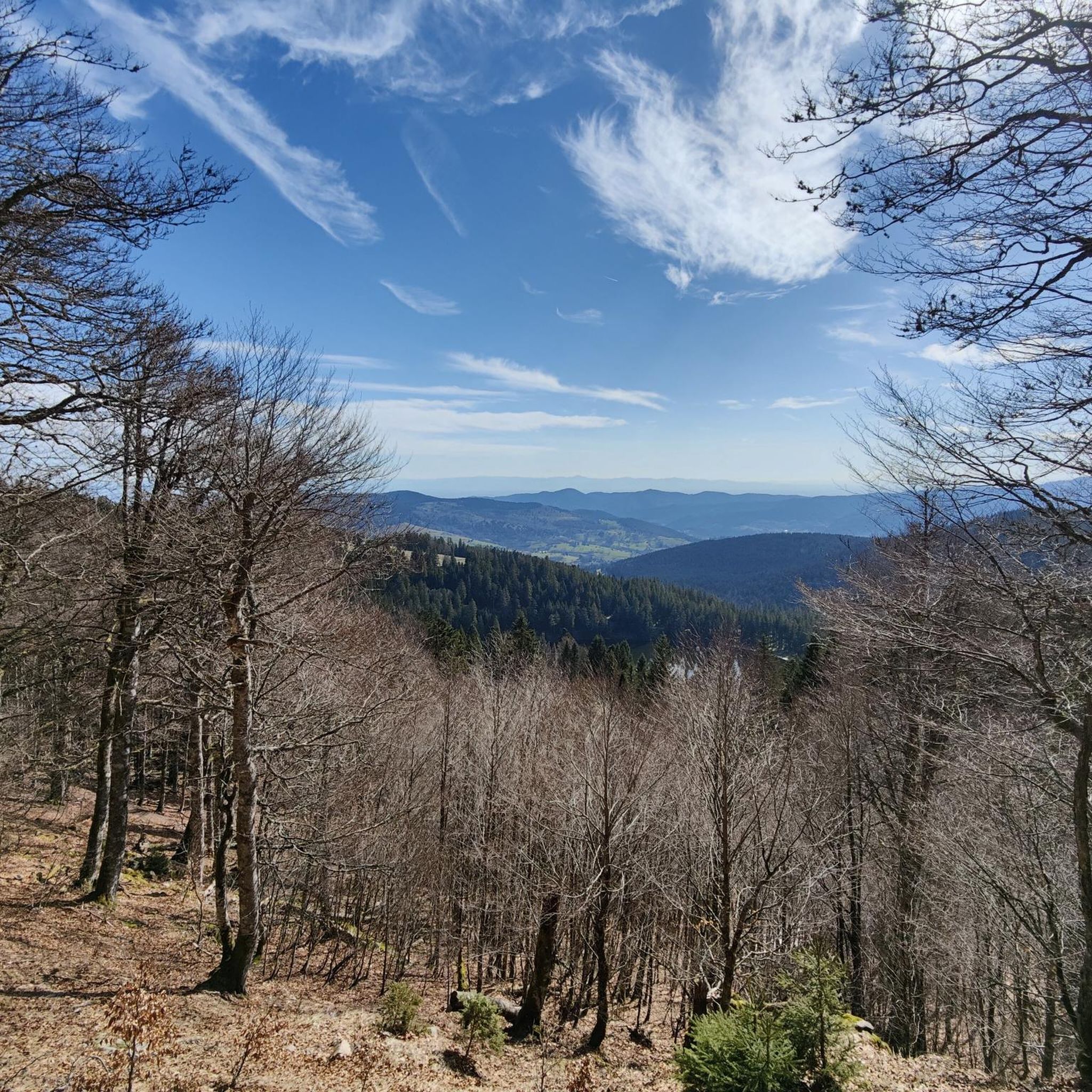
Cycling around Réserve naturelle du Tanet-Gazon-du-Faing
Mountain Hikes around Réserve naturelle du Tanet-Gazon-du-Faing

Gravel biking around Réserve naturelle du Tanet-Gazon-du-Faing
Tips from the Community

Really nice to ride with a moderate incline. More info here: https://www.quaeldich.de/paesse/col-du-wettstein/
0
0
Ballon des Vosges is the whole region. The climb here is the Petit Ballon
0
0
The view is clear.
0
0

Beautiful climb that winds up in several switchbacks with a very moderate gradient. Train a little for everyone, easy to do!👍
0
0


If you take the climb from Mandray village - and follow the - rusty - sign to the Col - that is different kind of cookie! 2, 9 km , averages at 11% with peaks up to 17%, and tough road conditions. Descend to Fraize is a blast!
0
0

Great side road from / to Munster and Col du Wettstein. Great views and good road.
0
0
Frequently Asked Questions
How many road cycling routes are available in Réserve naturelle du Tanet-Gazon-du-Faing?
There are nearly 90 road cycling routes available in the Réserve naturelle du Tanet-Gazon-du-Faing area, catering to various skill levels. These include 5 easy, 48 moderate, and 34 difficult routes.
What types of terrain can I expect when road cycling in Réserve naturelle du Tanet-Gazon-du-Faing?
The region offers a diverse landscape for road cyclists. You'll encounter challenging ascents through mountain forests of beech, fir, and spruce, as well as open stretches across the unique high stubble plateaus (hautes-chaumes) between 1,200 and 1,300 meters above sea level. The varied terrain provides both shaded routes and exposed, panoramic sections.
Are there any routes suitable for beginners or those looking for an easier ride?
Yes, there are several easier routes. For instance, the Le Valtin – Chorin Valley loop from Le Valtin is an easy 20.3 km (12.6 miles) path that winds through the scenic Chorin Valley, offering gentle gradients and beautiful forest views.
What are some notable landmarks or viewpoints I can see along the road cycling routes?
Many routes offer stunning panoramic views over the Vosges mountains. You can pass by or see highlights such as the Gazon du Faing, Le Tanet Summit, and the Taubenklangfelsen Viewpoint. The high stubble plateaus themselves provide expansive, unobstructed vistas, and on clear days, you might even catch a glimpse of the Bernese Alps.
What is the best time of year for road cycling in this region?
The best time for road cycling in Réserve naturelle du Tanet-Gazon-du-Faing is typically during the warmer months, from late spring to early autumn. Summer offers cooler temperatures at higher altitudes, making it pleasant for strenuous activity. The high stubble plateaus are exposed, so checking weather conditions is always advisable.
Are there any long or challenging routes for experienced road cyclists?
Absolutely. For experienced cyclists seeking a challenge, the Col de la Schlucht – Bagenelles Pass loop from Col de la Schlucht is a difficult 96.7 km (60.1 miles) trail that leads through multiple mountain passes, often taking over 5 hours to complete. Another demanding option is the Bagenelles Pass – Col de Mandray loop from Le Bonhomme, a difficult 65.2 km (40.5 miles) route with significant elevation gain.
What do other road cyclists enjoy most about the routes in Réserve naturelle du Tanet-Gazon-du-Faing?
The area is highly rated by the komoot community, with an average score of 4.4 stars from over 300 reviews. Cyclists often praise the diverse terrain, from challenging mountain passes to scenic open plateaus, and the magnificent panoramic views. The combination of natural features like mountain forests, peat bogs, and views of lakes also contributes to a highly enjoyable cycling experience.
Can I find circular road cycling routes in the area?
Yes, many of the road cycling routes in Réserve naturelle du Tanet-Gazon-du-Faing are designed as loops, allowing you to start and finish at the same point. An example of a popular circular route is the Col de la Schlucht – Schlucht pass loop from Lac Blanc, a moderate 35.3 km (22.0 miles) ride.
Are there any specific natural features that make this region unique for cycling?
The region is characterized by its unique high stubble plateaus (hautes-chaumes) which offer long, open stretches and panoramic views. You'll also find significant peat bogs with specific flora, and routes often overlook beautiful lakes like Lac Blanc and Lac des Truites. The presence of granitic rock chaos and cliffs adds to the dramatic scenery.
Are there any routes that pass by lakes or offer views of them?
Yes, the reserve overlooks several picturesque lakes, such as Lac Blanc and Lac des Truites (or Lac du Forlet). Many cycling routes are designed to incorporate views of these beautiful aquatic elements, providing stunning photo opportunities and a refreshing change of scenery from the mountain passes.
What is the elevation gain like on the road cycling routes?
The elevation gain varies significantly depending on the route's difficulty. Easy routes might have a few hundred meters of ascent, while difficult routes, such as the Pinot Bend – Col de Petit Ballon Pass loop from Soultzeren, can feature over 1200 meters (3900 feet) of climbing, making them suitable for cyclists looking for a significant workout.
Most popular routes around Réserve naturelle du Tanet-Gazon-du-Faing
Most popular attractions around Réserve naturelle du Tanet-Gazon-du-Faing

Get inspired with the komoot mobile app


Explore more
Browse the best Road cycling routes in other regions.
