The best gravel rides around National Park Hoces del Cabriel
4.0
(4)
136
riders
11
rides
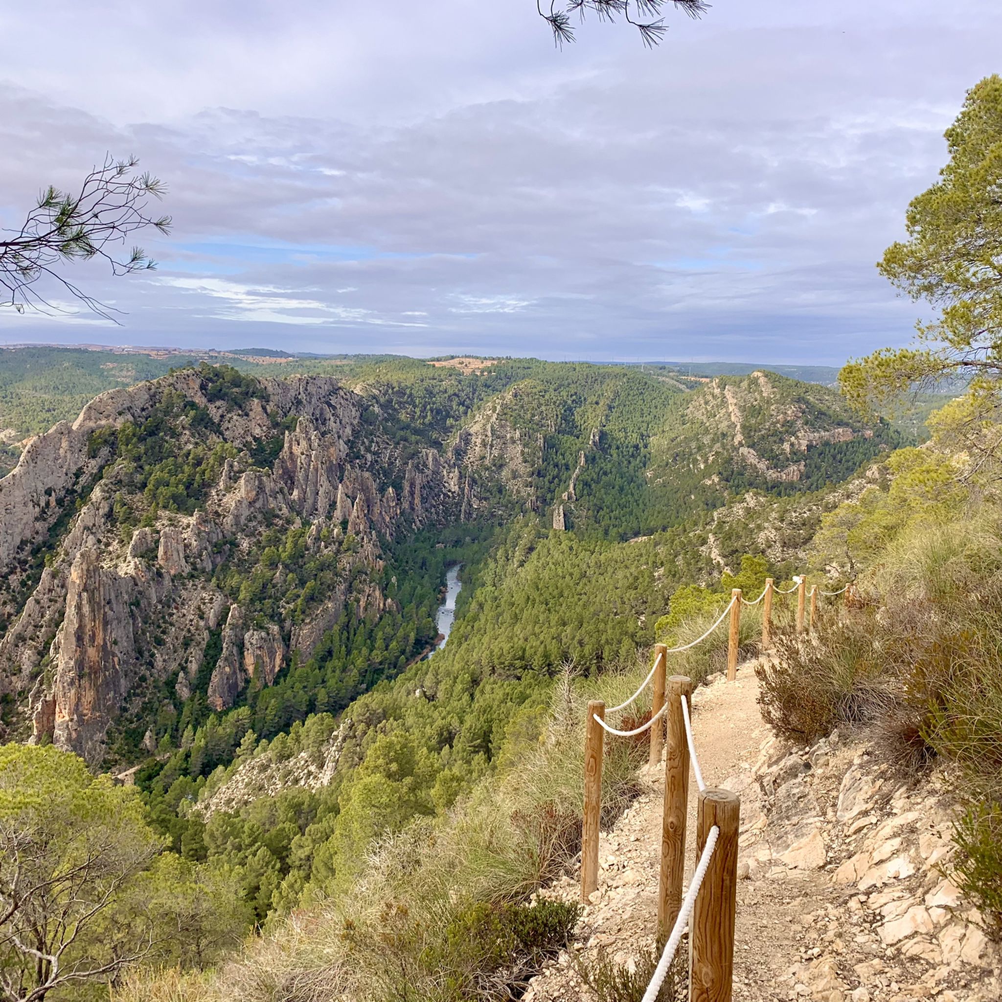
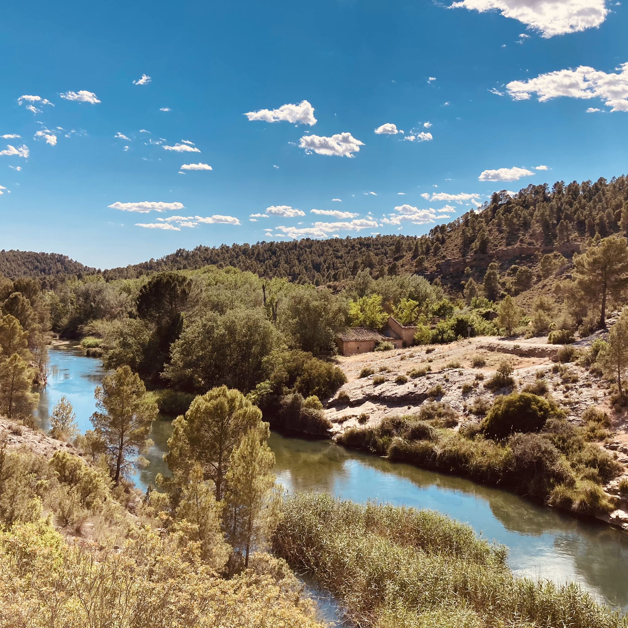
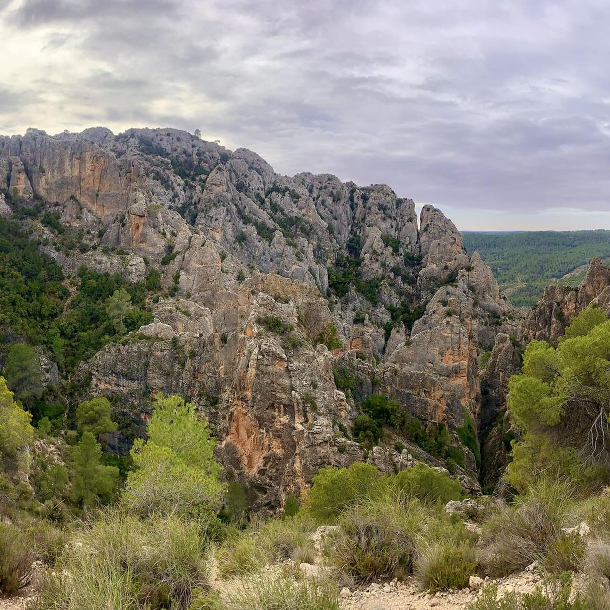
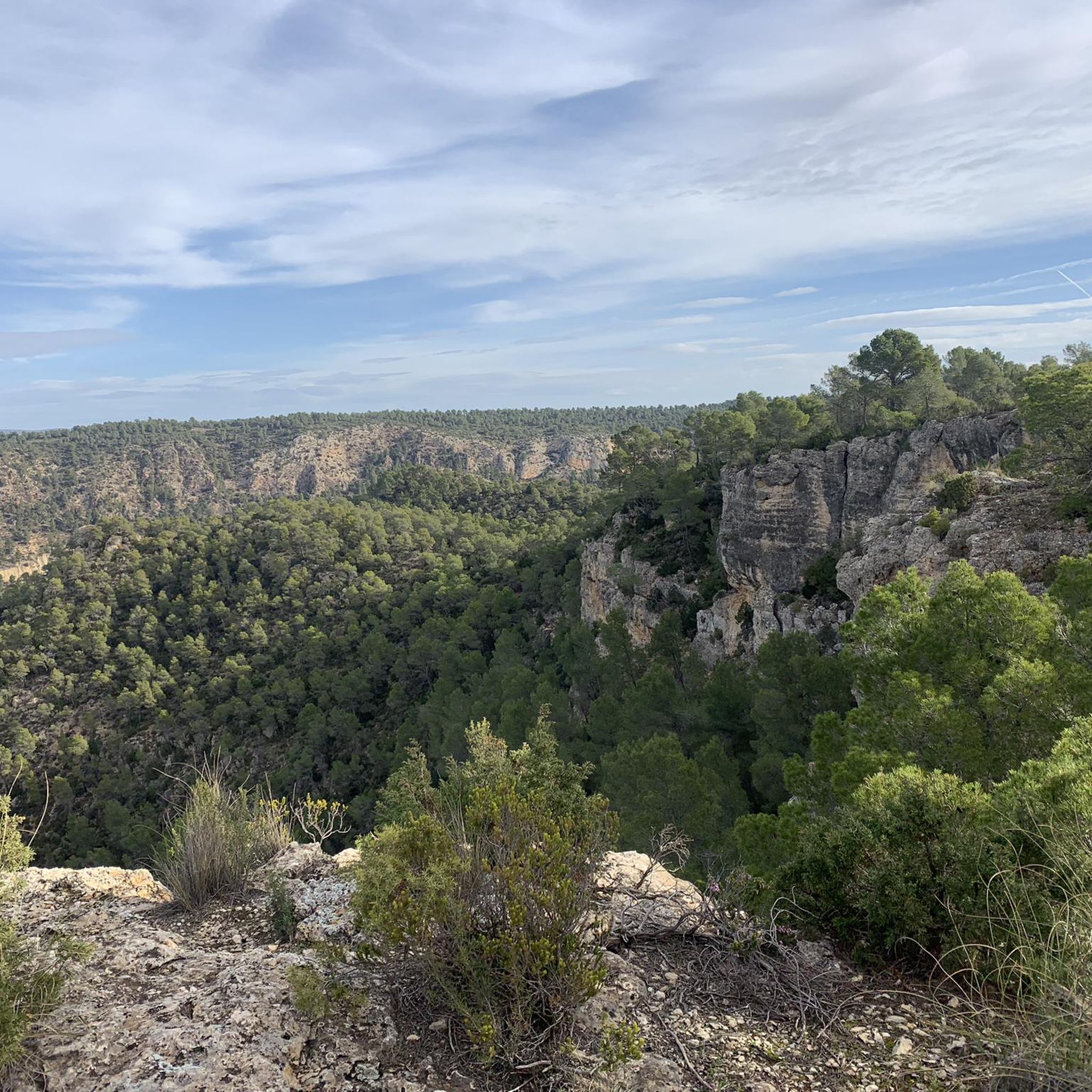
Gravel biking around National Park Hoces del Cabriel offers routes through a landscape characterized by deep river gorges carved by the Cabriel River, alongside rolling hills and areas of Mediterranean forest. The park features dramatic gorges, impressive canyons, and unique geological formations like "Los Cuchillos." This area is recognized as a UNESCO Cabriel Valley Biosphere Reserve, underscoring its ecological significance. The region presents varied terrain, from riverside paths to elevated viewpoints, providing diverse options for gravel cyclists.
Best gravel bike…
Last updated: July 2, 2026
3.0
(1)
13
riders
56.3km
04:37
680m
690m
Hard gravel ride. Very good fitness required. Mostly paved surfaces. Suitable for all skill levels.
5.0
(1)
4
riders
62.5km
04:52
1,000m
1,000m
Hard gravel ride. Very good fitness required. Mostly paved surfaces. Suitable for all skill levels.

Sign up for free
84
riders
112km
08:27
1,240m
1,240m
Hard gravel ride. Very good fitness required. Mostly paved surfaces. Suitable for all skill levels.
5.0
(1)
18
riders
101km
08:28
1,330m
1,330m
Hard gravel ride. Very good fitness required. Mostly paved surfaces. Suitable for all skill levels.
3.0
(1)
13
riders
Hard gravel ride. Very good fitness required. Mostly paved surfaces. Suitable for all skill levels.
Get access to more routes and recommendations from other explorers.
Sign up for free
Already have an account?
Our route recommendations are based on thousands of hikes, rides, and runs completed by other people on komoot.
Start today with a free account
Your next adventure awaits.
Login or Signup
Popular around National Park Hoces del Cabriel

GR 238 Tierra del Vino - A journey on foot through lands of silence
Hiking around National Park Hoces del Cabriel
MTB Trails around National Park Hoces del Cabriel
Road Cycling Routes around National Park Hoces del Cabriel
Cycling around National Park Hoces del Cabriel
Running Trails around National Park Hoces del Cabriel
Other adventures around National Park Hoces del Cabriel

Tips from the Community

The Contreras dam (Embalse de Contreras) is a 129-meter-high arch dam built in 1972. Located on the border of the provinces of Cuenca (Castilla-La Mancha) and Valencia, the dam spans the Cabriel and Guadazaón rivers. The reservoir serves mainly for water supply, flood protection, and irrigation.
11
1
7 bow bridge, so beautiful
11
0

Beautiful town in Albacete, with a lot of charm and spectacular views.. Highly recommend visiting it, exploring it with multiple activities and beautiful trails along the Júcar.
2
0

Alcalá del Júcar is one of the most picturesque villages in Castilla-La Mancha, famous for its spectacular location on a deep bend of the Júcar River. The terraced white houses, the caves carved into the rock, and its castle overlooking the canyon make it a must-see destination. Castle of Alcalá del Júcar A fortress of Arab origin, rebuilt after the Reconquista. The best views of the canyon and the village can be enjoyed from the top.
4
0

At this point, depending on the direction of your hike, you'll leave the river and head into the hillside, where the trail leads you through a wide pine forest and typical Mediterranean vegetation characteristic of these mountain landscapes. As you ascend, the views open up, revealing breathtaking panoramas of the surrounding area, which can be the perfect excuse to stop for a few moments to rest and savor the scenery before continuing.
0
0
The route is marked with beacons, posts, and other standardized signs with arrows and markings. At this point, there are also signs indicating directions and distances to towns or key locations.
0
0
Hiking: Popular routes, such as the "Engineer's House" trail, offer viewpoints overlooking the reservoir and the Cabriel River gorges. Guided tours: Occasionally, the Hydrographic Confederation and the Villargordo Town Council organize tours and talks in the village of Contreras. Historic roads: The abandoned section of the old N-III highway and the Contreras Hills attract engineering enthusiasts, with their original 20th-century asphalt and signage.
9
0
Contreras Dam (Contreras Reservoir), located on the border between Cuenca and Valencia provinces. It lies between Villargordo del Cabriel (Valencia) and the Cuenca municipalities of La Pesquera, Mira, Enguídanos, and Minglanilla, spanning the Cabriel and Guadazaón rivers. Below the dam is the historic Contreras Bridge, built between 1845 and 1851 by Lucio del Valle, part of the old zigzag mountain pass.
10
0
Frequently Asked Questions
How many gravel bike trails are available in National Park Hoces del Cabriel?
There are over 10 gravel bike routes available in National Park Hoces del Cabriel. These routes range from moderate to difficult, offering diverse experiences through river gorges, vineyards, and forested hills.
Are there any easy gravel bike trails suitable for beginners in National Park Hoces del Cabriel?
While there are no routes specifically graded as 'easy' in the National Park Hoces del Cabriel, you can find several 'moderate' options. For instance, the Bodega Torre Oria de Requena loop from Campo Arcís is a moderate 24.6-mile (39.6 km) trail that takes about 3 hours 16 minutes, offering a less strenuous ride through vineyard landscapes.
What are the typical lengths and durations of gravel bike routes in the region?
Gravel bike routes in National Park Hoces del Cabriel vary significantly in length and duration. You'll find routes like the Contreras Viewpoint – Cabriel Valley Viewpoint loop from Cerro del Castillo, which is 18.3 miles (29.4 km) and takes around 3 hours, up to longer rides such as the Venta del Moro – Venta del Moro loop from Campo Arcís, spanning 37.9 miles (61.0 km) and requiring about 5 hours.
What kind of scenery can I expect on gravel bike trails in National Park Hoces del Cabriel?
The region is characterized by deep river gorges carved by the Cabriel River, alongside rolling hills and areas of Mediterranean forest. Many routes offer panoramic views of the Cabriel Valley, pass through vineyard landscapes, and follow riverside paths. You can expect a mix of natural beauty and geological formations.
Are there any family-friendly gravel biking options in National Park Hoces del Cabriel?
Given that most routes are graded as moderate to difficult, National Park Hoces del Cabriel is generally more suited for experienced gravel bikers. However, families with older children who are comfortable with longer distances and some elevation gain might enjoy the moderate routes, such as the Bodega Torre Oria de Requena – Sandwich with Red Wine loop from Campo Arcís, which is 19.0 miles (30.6 km) long.
What are some interesting landmarks or natural attractions to see along the gravel bike trails?
Along the gravel bike trails, you can discover several points of interest. Highlights include the impressive Impressive valley, the historic Vadocañas Bridge, and various viewpoints like Peña Azul Viewpoint and Hoz del Rabo de la Sartén Viewpoint, offering stunning vistas of the landscape.
When is the best season for gravel biking in National Park Hoces del Cabriel?
The Mediterranean climate of the region generally makes spring and autumn ideal for gravel biking, offering pleasant temperatures and vibrant scenery. Summers can be hot, especially in the gorges, while winters are typically mild but can have cooler, wetter days. Always check local weather forecasts before heading out.
What do other gravel bikers enjoy most about gravel biking in National Park Hoces del Cabriel?
The area is highly rated by the komoot community, with an average score of 3.7 stars. Reviewers often praise the diverse terrain, the stunning views from elevated points, and the unique experience of riding through river gorges and vineyard landscapes.
Are there any circular gravel bike routes in National Park Hoces del Cabriel?
Yes, many of the gravel bike routes in National Park Hoces del Cabriel are circular, allowing you to start and end at the same point. Examples include the Río Cabriel – Way of the Cross of Caravaca loop from Villatoya and the Bodega Torre Oria de Requena loop from Campo Arcís.
What should I bring for a gravel biking trip in this National Park?
Given the varied terrain and potential for longer rides, it's advisable to bring sufficient water, snacks, a repair kit for your bike, and appropriate clothing layers. Sun protection is also recommended, especially during warmer months. A GPS device or a loaded komoot tour on your phone is highly recommended for navigation.
Are there any less crowded gravel routes in National Park Hoces del Cabriel?
While specific crowd levels can vary, exploring routes that start from smaller villages or venturing out during weekdays or off-peak seasons can help you find quieter experiences. The vastness of the park also means many trails offer a sense of solitude away from main attractions.
Most popular routes around National Park Hoces del Cabriel
Most popular attractions around National Park Hoces del Cabriel

Get inspired with the komoot mobile app


Explore more
Browse the best Gravel rides in other regions.
