The best gravel rides around Lange Rhön
4.7
(23)
79
riders
15
rides
Gravel biking around Lange Rhön offers diverse landscapes across an elevated basalt plateau, generally around 800 meters above sea level. The region features rolling hills, dense native forests, wide fields, and picturesque meadows, occasionally presenting challenging steep climbs. Notable natural features include the Schwarzes Moor, a well-preserved raised bog, and the Heidelstein, the highest hill in Lange Rhön at 926 meters. This varied topography provides an engaging backdrop for gravel biking.
Best gravel bike trails around Lange Rhön
- The most…
Last updated: October 6, 2026
4.5
(4)
9
riders
26.1km
01:33
280m
280m
Moderate gravel ride. Good fitness required. Mostly paved surfaces. Suitable for all skill levels.
5.0
(1)
3
riders
Hard gravel ride. Very good fitness required. Mostly paved surfaces. Suitable for all skill levels.

5.0
(2)
10
riders
Hard gravel ride. Very good fitness required. Mostly paved surfaces. Suitable for all skill levels.
5.0
(5)
14
riders
30.7km
01:46
310m
310m
Moderate gravel ride. Good fitness required. Mostly paved surfaces. Suitable for all skill levels.
4.6
(5)
17
riders
37.2km
02:54
610m
610m
Hard gravel ride. Very good fitness required. Mostly paved surfaces. Suitable for all skill levels.
Get access to more routes and recommendations from other explorers.
Already have an account?
Our route recommendations are based on thousands of hikes, rides, and runs completed by other people on komoot.
Start today with a free account
Your next adventure awaits.
Popular around Lange Rhön

Extra tours South - Excellent premium hiking trails of the Rhön

Naturlehrpfade – Natur und Wissen

Discover the Green Belt in the Rhön with BUND
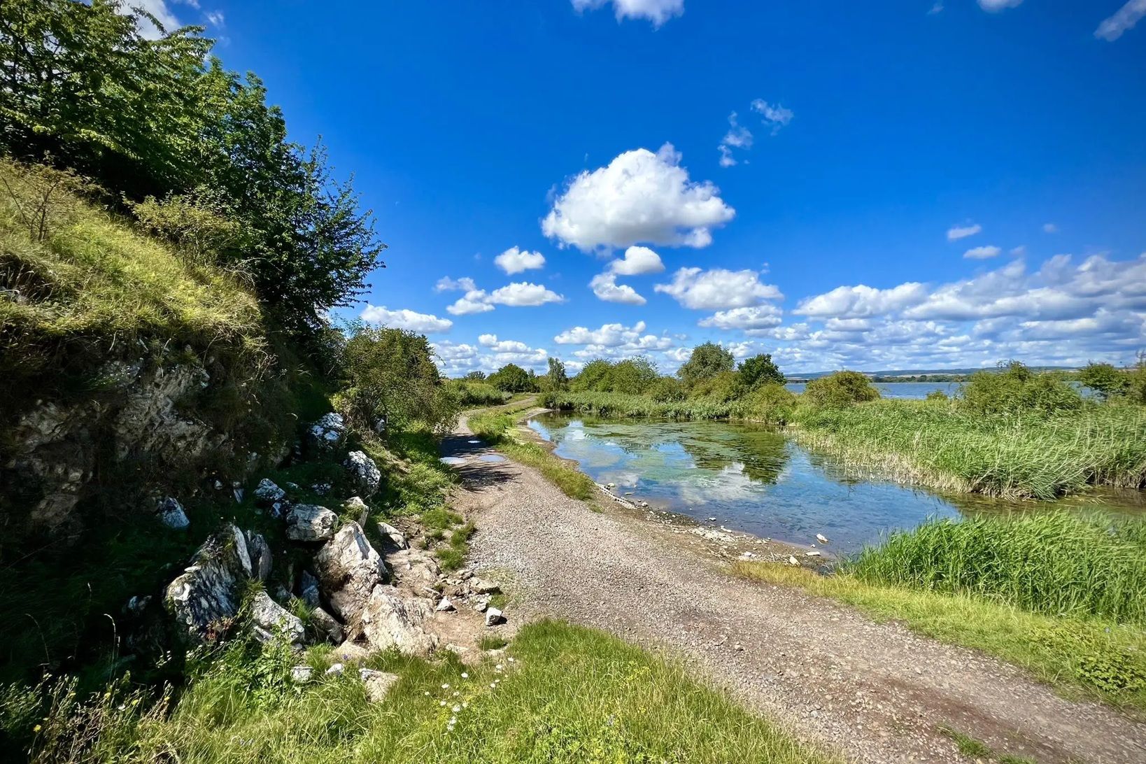
Die Nationalen Naturlandschaften in Thüringen

Rundwanderwege um Oberelsbach
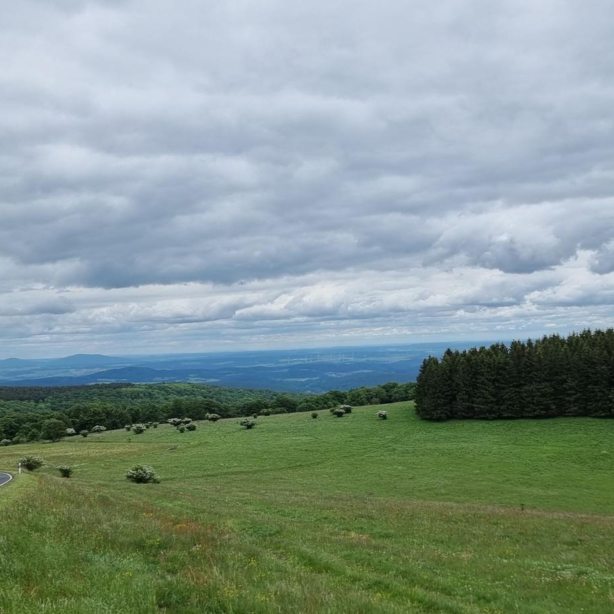
Hiking around Lange Rhön
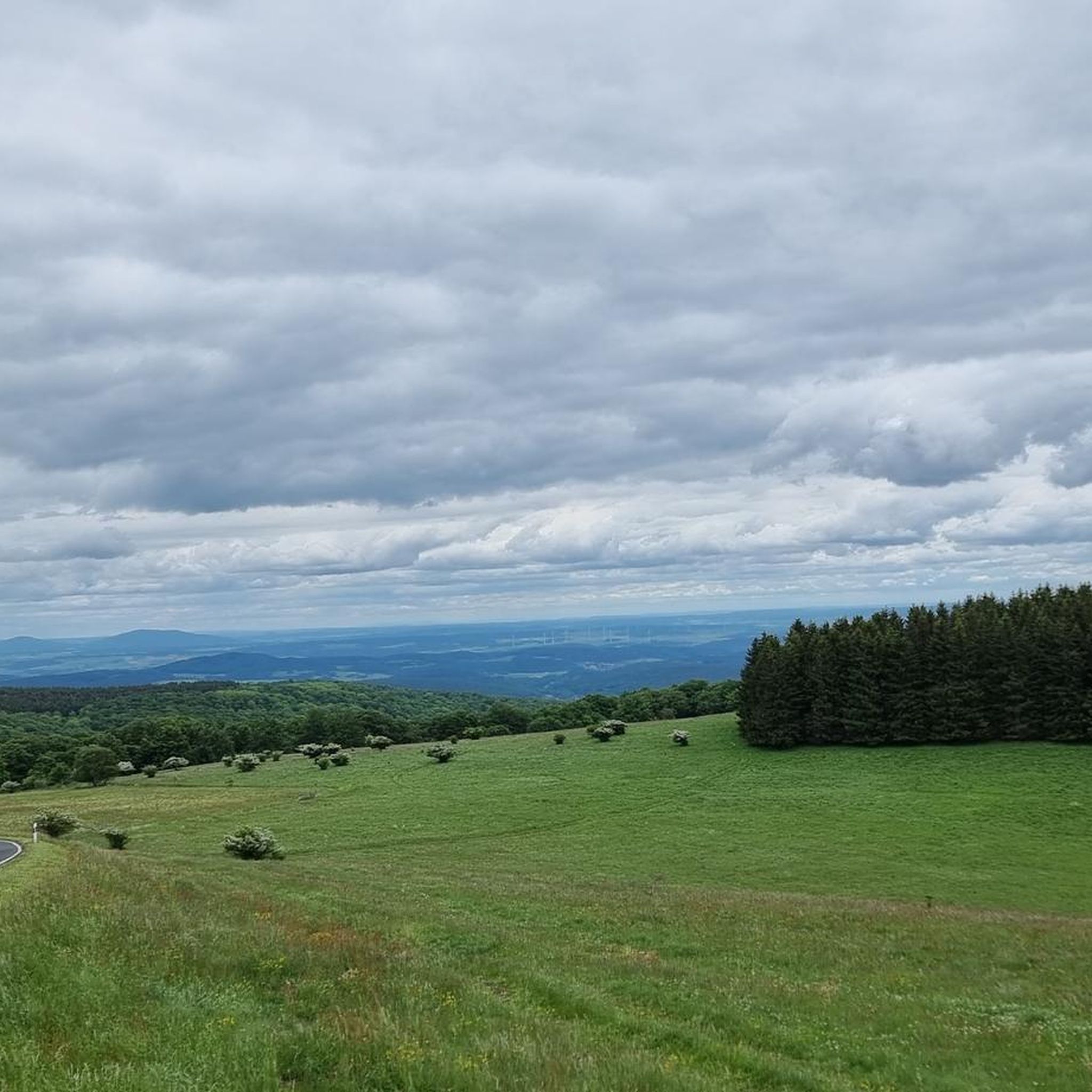
Road Cycling Routes around Lange Rhön
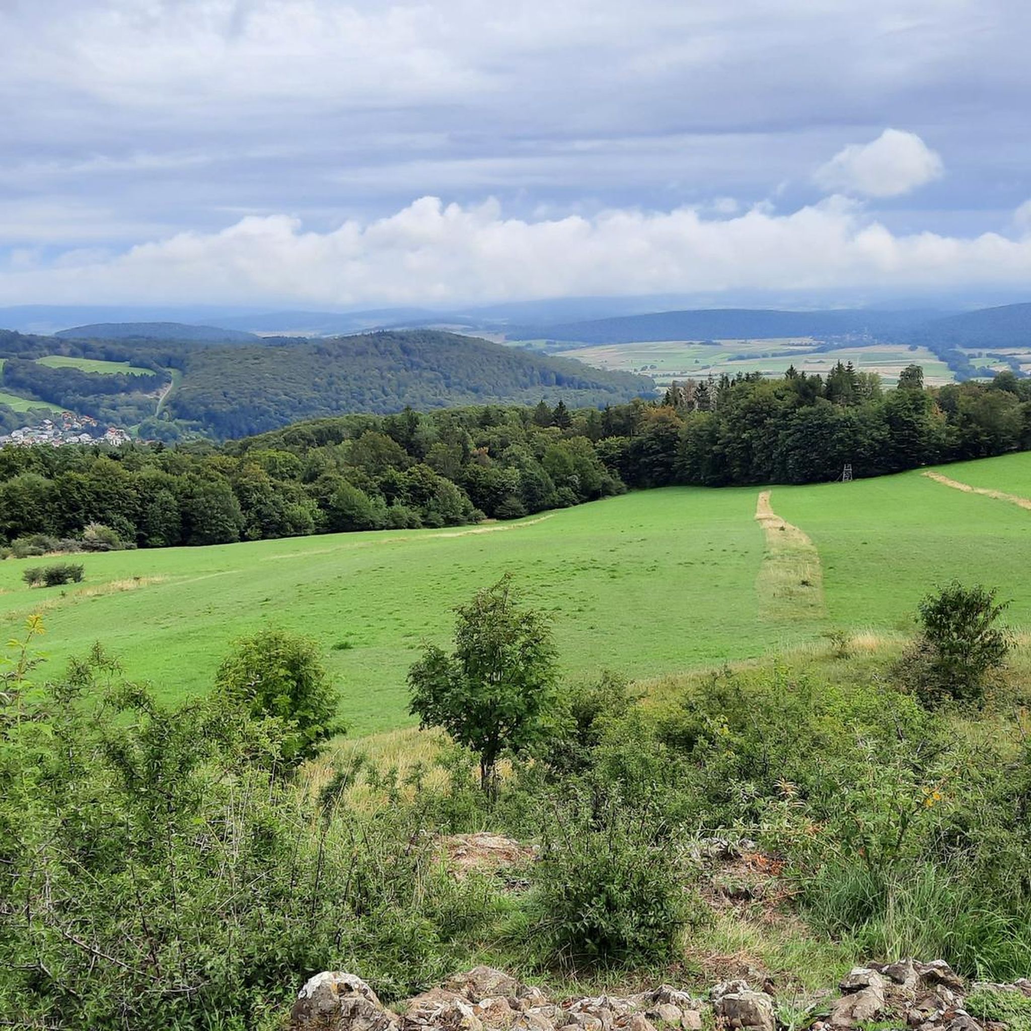
MTB Trails around Lange Rhön
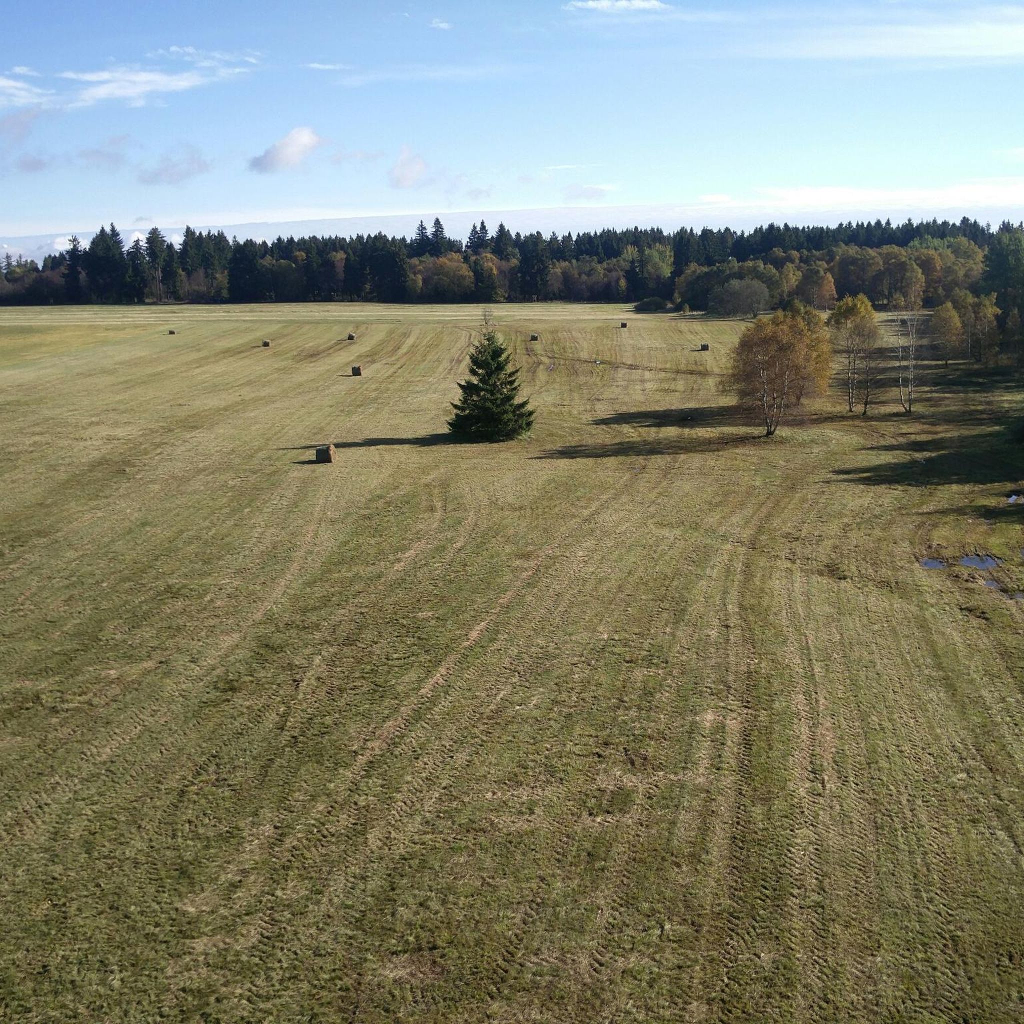
Running Trails around Lange Rhön
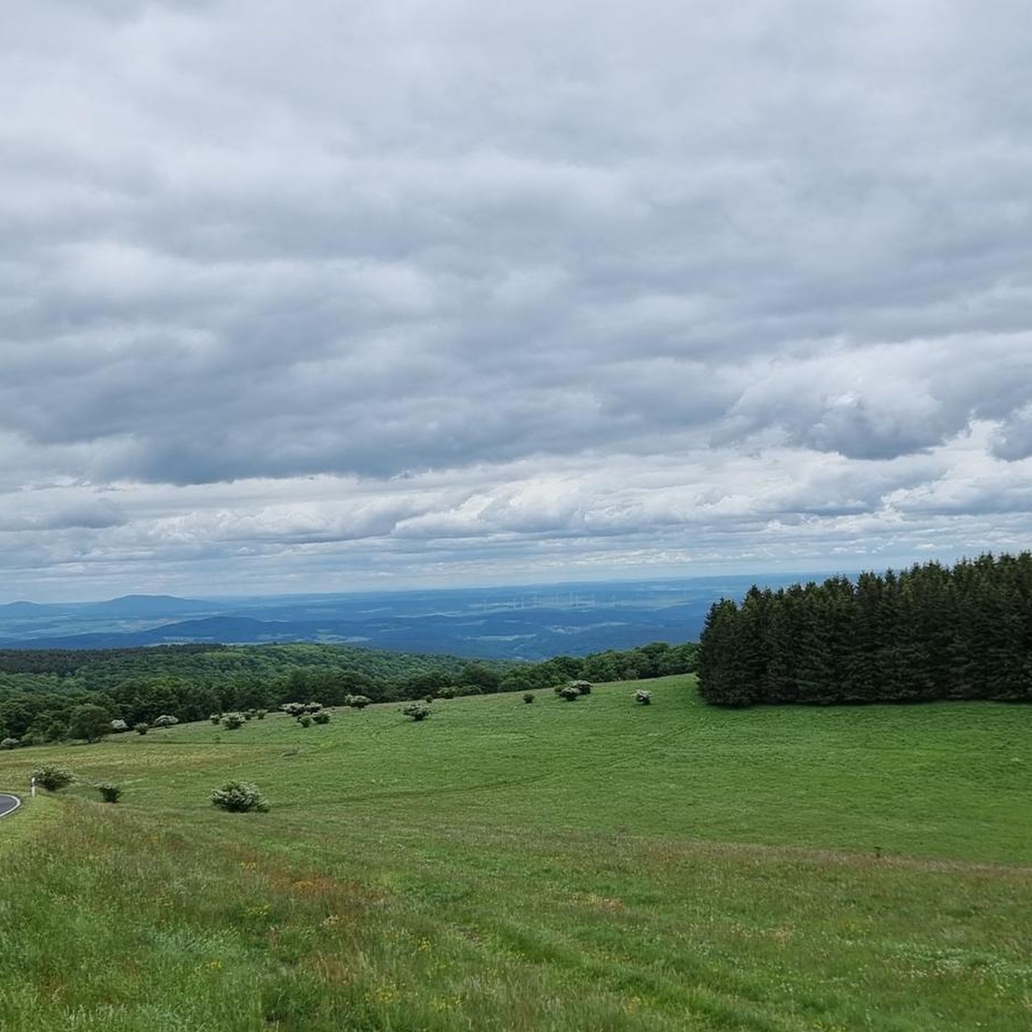
Cycling around Lange Rhön
Other adventures around Lange Rhön


Tips from the Community

Great, you can observe a lot there
0
0
Beautiful Blankenpfad with info boards
0
0

The Silbersee is an artificially created basalt lake in the former quarry of the Rother Berg. Known for its striking turquoise-green to blue-green water, steep rock faces, and the surrounding, re-naturalized landscape.
1
0

beautiful cycle path along the Saale
0
0

The bridge is located in the Saalewiesen, a natural landscape that acts as a fresh air corridor for Bad Neustadt and Salz.
0
0
Yes, it looks quite impressive...
0
0

Very worthwhile to walk there - beautiful view from the tower.
0
0

The Franconian Saale River flows right through Bad Neustadt and shapes the expansive meadow landscapes surrounding the town. From the bridge, there is a beautiful view of the river and the surrounding Saale meadows.
0
0
Frequently Asked Questions
How many gravel bike trails are available in Lange Rhön?
There are nearly 30 gravel bike trails around Lange Rhön, catering to various skill levels. The majority, about 20, are considered difficult, with 6 moderate and 1 easy route also available.
What kind of terrain can I expect on gravel bike trails in Lange Rhön?
Lange Rhön offers a diverse landscape for gravel biking, characterized by an elevated basalt plateau around 800 meters above sea level. You'll encounter rolling hills, dense native forests, wide fields, and picturesque meadows. The trails often combine paved and unpaved surfaces, with some singletrack sections, providing an engaging and varied experience.
Are there any easy gravel bike routes suitable for beginners in Lange Rhön?
While many routes are challenging, there are options for those seeking a more moderate ride. For example, the Marian Grotto Schönau – Weisbach Ford loop from Unterweißenbrunn is a moderate 16.2-mile (26.1 km) path that explores varied terrain and is a good option for those building their gravel biking experience.
What natural features or landmarks can I see along the gravel bike trails?
Lange Rhön is rich in natural beauty. You can explore the unique flora and fauna of the Schwarzes Moor Nature Trail, a well-preserved raised bog with a boardwalk. The Heidelstein summit offers breathtaking panoramic views. You might also encounter the Eisgraben Waterfall or the Great Moor Eye (Black Moor).
What do other gravel bikers enjoy most about Lange Rhön?
The area is highly rated by the komoot community, with an average score of 4.7 stars from over 20 reviews. Reviewers often praise the diverse landscapes, from river valleys to high plateaus, and the engaging mix of terrain that keeps rides interesting. Over 100 gravel bikers have used komoot to explore Lange Rhön's varied trails.
Are there any loop routes for gravel biking in Lange Rhön?
Yes, many of the gravel bike trails in Lange Rhön are designed as loops, allowing you to start and end at the same point. An example is the Bad Neustadt Marketplace – Hohenrother Lake loop from Bischofsheim in der Rhön, a 31.2-mile (50.2 km) trail through diverse landscapes.
When is the best time of year for gravel biking in Lange Rhön?
Lange Rhön is suitable for gravel biking in almost all seasons. Spring brings blooming meadows, summer offers sunny hills, and autumn provides vibrant foliage. Each season offers a unique backdrop to your ride, though conditions can vary, so checking local weather is always recommended.
Are there any routes that pass through river valleys?
Yes, some routes in Lange Rhön lead through picturesque river valleys. The Streu River Trail – Streu River in Ostheim loop from Bischofsheim in der Rhön is a notable example, offering expansive views as it traverses river valleys.
Can I find routes that explore the unique moor landscapes?
Absolutely. The region is home to significant moor areas. The Rotes Moor Pond – Moor lake in the Red Moor loop from Sinnquellgebiet und Arnsbergsüdhang is a challenging 36.1-mile (58.1 km) route that allows you to experience the distinctive moor landscape, including the Rotes Moor Pond.
Are there any gravel routes that follow old railway paths?
Yes, you can find routes that incorporate former railway lines. The Streutalbahn Railway Path – Fladungen Museum Railway loop from Fladungen is a moderate 19-mile (30.7 km) route that utilizes sections of an old railway path, offering a unique cycling experience.
What kind of views can I expect on the trails?
Due to the elevated basalt plateau, many routes offer open, expansive views across the landscape. From higher points like the Heidelstein, you can enjoy panoramic vistas of the surrounding Rhön Mountains, including the Kreuzberg, and on clear days, even the Hohe Meißner and the Thuringian Forest.
Most popular routes around Lange Rhön
Most popular attractions around Lange Rhön

Get inspired with the komoot mobile app


Explore more
Browse the best Gravel rides in other regions.
