The 6 Most Amazing Peaks around Langenprozeltener Forst
Mountain peaks near Langenprozeltener Forst are found within an 8.66 square kilometer forested area in Bavaria, Germany, characterized by rolling hills and dense woodlands. The highest elevation within the Forst is "die Kuppe" at 455 meters above sea level, with an average altitude of approximately 310 meters. This region offers a natural environment for hiking and exploring, with an extensive network of trails suitable for various fitness levels. The appeal lies in tranquil forest hikes, historical routes, and the charm…
Last updated: May 20, 2026
Hermannskoppe Summit (567 m)
Highlight • Summit
Translated by Google •
Tip by

Sohlhöhe Viewpoint and Upper Reservoir
Highlight • Viewpoint
Translated by Google •
Tip by

Sign up now to discover places like this
Get recommendations on the best single tracks, peaks, & plenty of other exciting outdoor places.
Sign up for free
Iron Signpost at Lohrberg
Highlight • Monument
Translated by Google •
Tip by

Lindwurm: MTB R4 Flowtrail Classic
Highlight (Segment) • MTB Park
Translated by Google •
Tip by

Eichenberg Summit Stone
Highlight • Summit
In Franmersbach. You can only get up via forest paths and there are no signposts.
Translated by Google •
Tip by

Sign up for free to discover even more peaks around Langenprozeltener Forst.
Sign up for free
Already have an account?
Start today with a free account
Your next adventure awaits.
Login or Signup
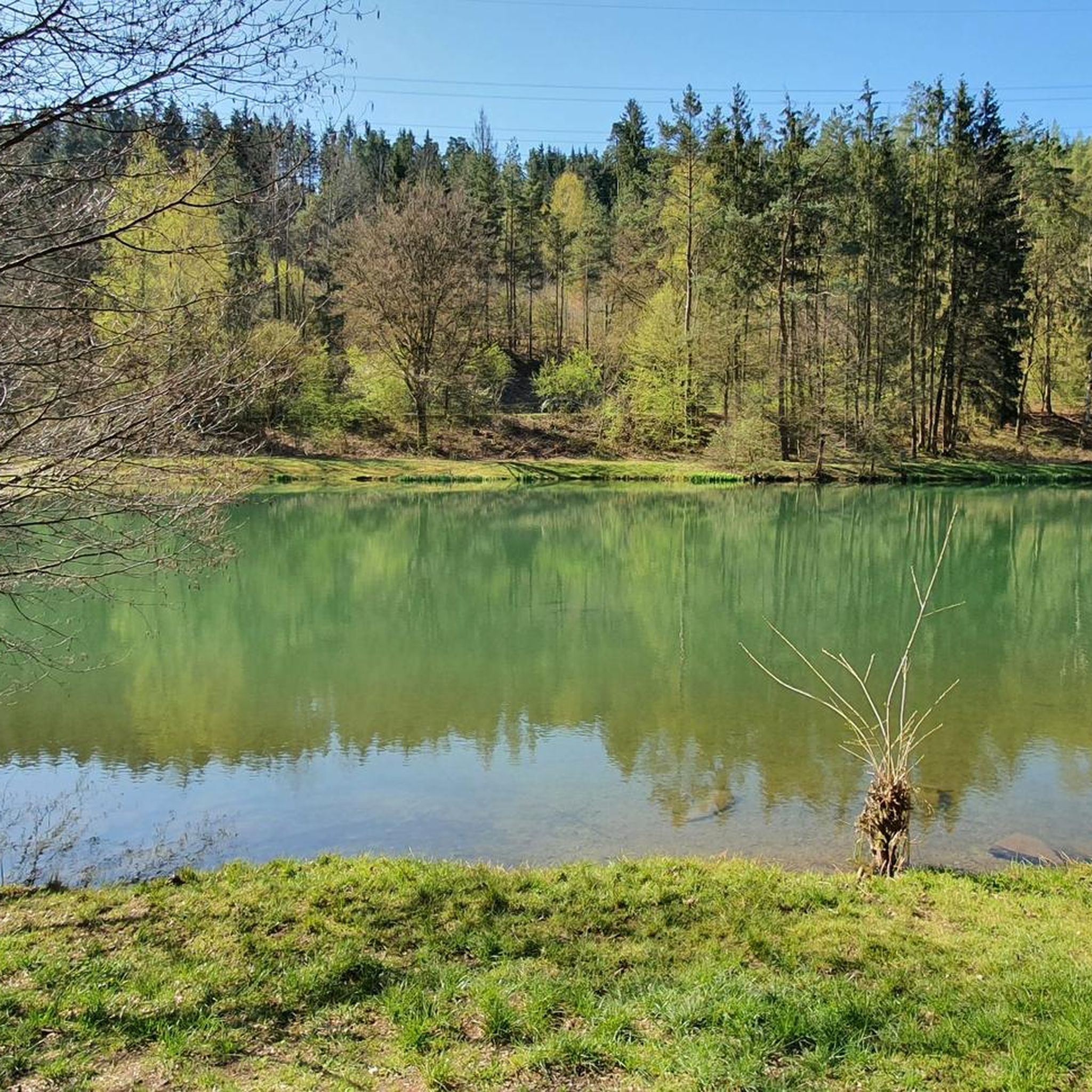
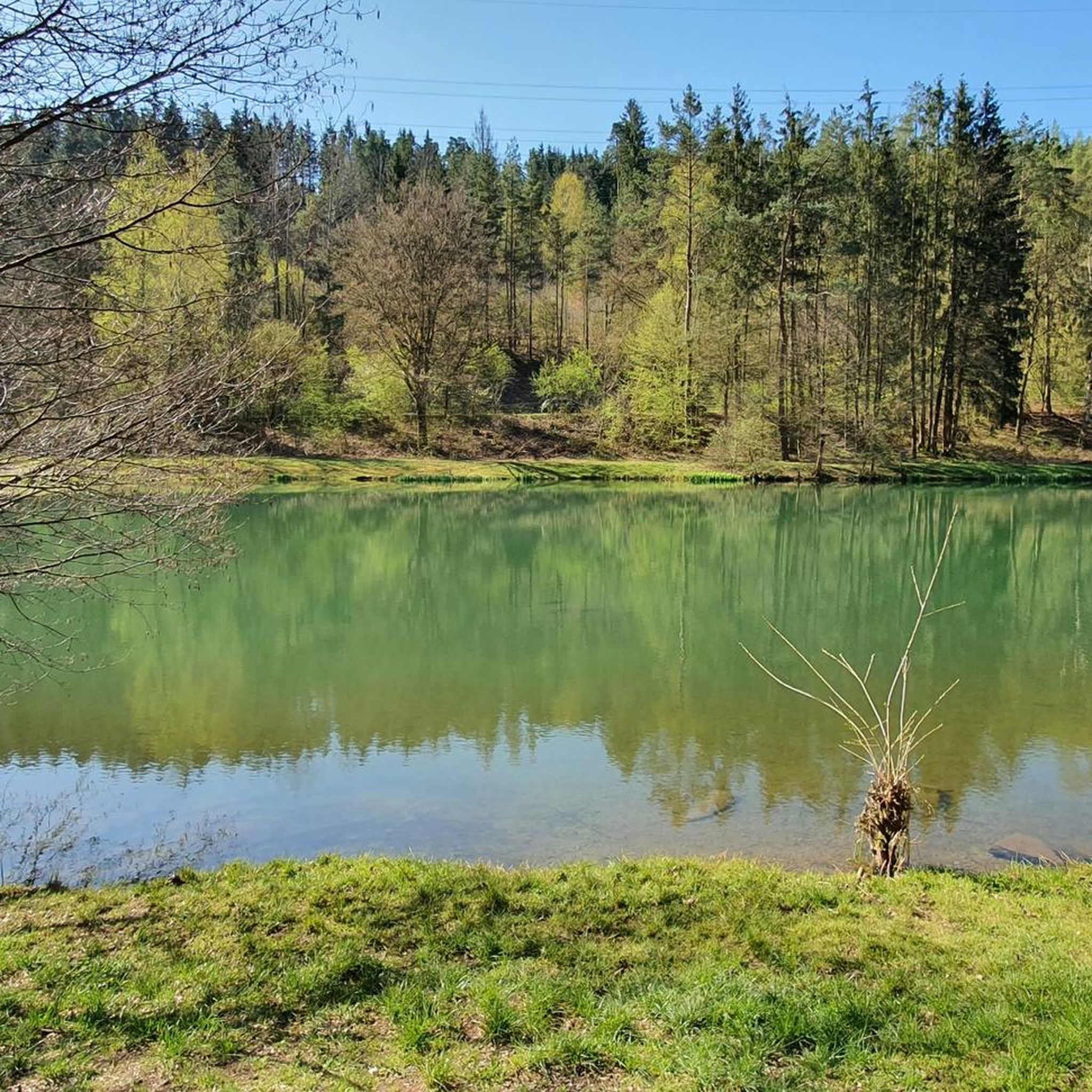
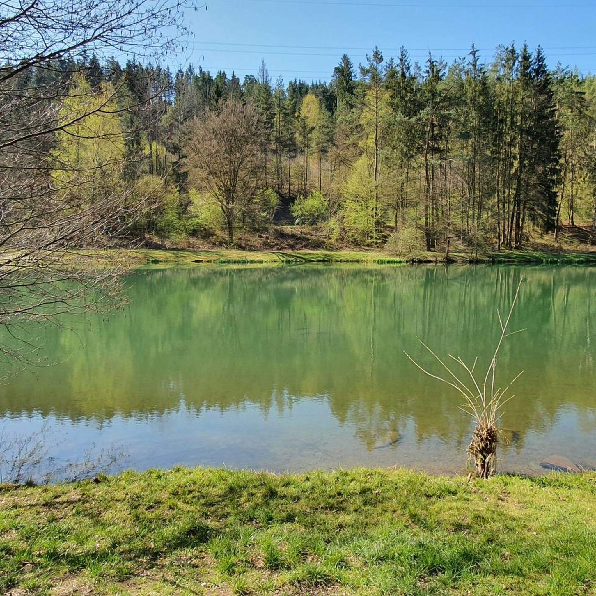
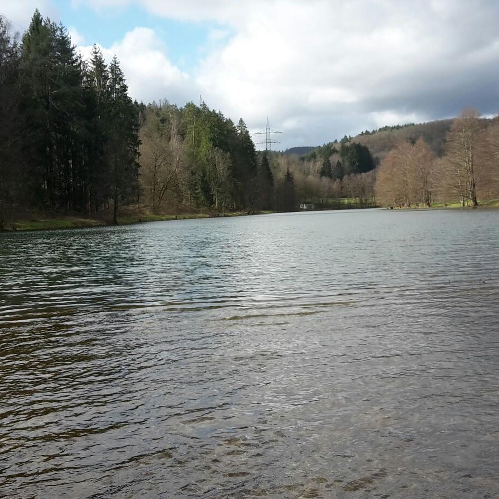

Tips from the Community


Currently impassable, as there are forestry works in the rear part. Unfortunately, the front part is also very overgrown.
0
0

Small waterhole set in sandstone
11
2

A prominent corner with a helpful signpost
4
0

Currently great to drive. I step on the gas, I want fun 🤪
0
0

At 567 m, the Hermannskoppe is the highest mountain in the Hessian part of the Spessart in the Main-Kinzig district and the fourth highest mountain in the Spessart. Its summit is in the district of Lohrhaupten. The mountain was partially deforested by Hurricane Kyrill in January 2007. Source: Wikipedia
5
0

Nearby is a place to stop at the Bavarian Schantz
4
0

The Hermannskoppe is the highest point in the Hessian Spessart
3
0
Frequently Asked Questions
What are the notable elevated points or 'peaks' in the Langenprozeltener Forst region?
While the Langenprozeltener Forst is characterized by rolling hills and dense woodlands rather than prominent, jagged peaks, several elevated points offer rewarding experiences. Within the Forst, the highest elevation is referred to as "die Kuppe" at 455 meters. Nearby, you can explore Hermannskoppe Summit (567 m), known for its historical significance, and the Sohlhöhe Viewpoint and Upper Reservoir at 530 meters, offering impressive vistas.
What historical sites can I explore near the mountain peaks?
The region is rich in history. At Hermannskoppe Summit (567 m), you'll find the historic Hermannsborn fountain, which once served as a cattle drinking trough along the ancient Birkenheiner Landstraße. Another significant historical site is the Bayerische Schanz, a former customs station on the medieval Birkenhainer Straße, now a popular excursion destination.
Are there family-friendly hiking options around Langenprozeltener Forst?
Yes, several areas are suitable for families. The Sohlhöhe Viewpoint and Upper Reservoir is listed as family-friendly and offers impressive views. The Bayerische Schanz also features a 500-meter-long, wheelchair-accessible path, making it suitable for families with strollers or those needing easier access.
What kind of views can I expect from the elevated points?
From the Sohlhöhe Viewpoint and Upper Reservoir, you can expect impressive views, and in ideal conditions, you might even see the Rhön mountains. The Hermannskoppe Summit (567 m) also provides rewarding views of the surrounding Spessart forest.
Are there dog-friendly trails in the Langenprozeltener Forst area?
Yes, many trails in the region are dog-friendly. For example, the area around Hermannskoppe Summit (567 m) is specifically noted as dog-friendly, allowing you to enjoy the forest hikes with your canine companion.
What is the highest point within the Langenprozeltener Forst itself?
The highest elevation within the Langenprozeltener Forst itself is known as "die Kuppe," reaching 455 meters above sea level. The region's average altitude is approximately 310 meters, offering a landscape of rolling hills and dense woodlands.
What outdoor activities are available near the mountain peaks of Langenprozeltener Forst?
Beyond hiking, the area offers various outdoor activities. You can find excellent cycling routes, including easy to moderate options like the "Gemünden Old Town – Bridge Over the Wern loop from Langenprozelten" (Cycling around Langenprozeltener Forst). There are also numerous MTB trails, such as the "Sinn River at Gemünden – View of Burgsinn loop from Langenprozelten" (MTB Trails around Langenprozeltener Forst), and gravel biking routes (Gravel biking around Langenprozeltener Forst).
Where can I find refreshments or places to eat after a hike?
The Bayerische Schanz is a highly popular excursion destination known for its welcoming hospitality, traditional regional cuisine, and a large beer garden. It's an excellent spot to relax and refuel after exploring the trails.
What unique natural or man-made monuments can I discover?
Besides the Hermannsborn fountain at Hermannskoppe Summit (567 m), you can find the Iron Signpost at Lohrberg, a man-made monument featuring naive pictograms pointing to local destinations. The Sohlhöhe Viewpoint and Upper Reservoir is also a notable man-made structure offering impressive views.
Is the region suitable for winter activities?
Yes, the Bayerische Schanz, a popular destination in the Spessart Nature Park, offers amenities for winter sports enthusiasts, including cross-country ski trails. This makes the region appealing for visitors even during the colder months.
How accessible are the trails for people with mobility challenges?
The Bayerische Schanz offers a particularly notable feature: a 500-meter-long, wheelchair-accessible path built in 2008. This path follows the old Birkenhainer Landstraße and includes a "Naturgalerie der Moderne" (Nature Gallery of Modern Art), making it accessible for a wider range of visitors.
What is the best time of year to visit the Langenprozeltener Forst for hiking?
The Langenprozeltener Forst is ideal for hiking throughout the warmer months, from spring to autumn, when the dense woodlands are lush and the weather is pleasant. Spring offers blooming flora, while autumn provides beautiful fall foliage. Even in winter, specific areas like the Bayerische Schanz cater to winter sports, making it a year-round destination depending on your preferred activity.
Most popular routes around Langenprozeltener Forst
Most popular attractions around Langenprozeltener Forst

Get inspired with the komoot mobile app


Explore more
See even more amazing summits around Langenprozeltener Forst with these guides:
