The best gravel rides around Endschütz
4.9
(5)
29
riders
10
rides
Gravel biking around Endschütz features a landscape shaped by river valleys, natural reserves, and varied terrain. The region includes paths along the White Elster River and through areas like Teich Kauern Nature Reserve. Elevation changes are present, with routes navigating both flatter river sections and moderate climbs. The area provides a mix of open and forested sections suitable for gravel riding.
Best gravel bike trails around Endschütz
- The most popular gravel bike trail is Miners' Lamp Schmirchauer Höhe – Kauern…
Last updated: May 21, 2026
5
riders
Moderate gravel ride. Good fitness required. Mostly paved surfaces. Suitable for all skill levels.
4.7
(3)
5
riders
34.4km
02:00
370m
370m
Moderate gravel ride. Good fitness required. Mostly paved surfaces. Suitable for all skill levels.

Sign up for free
1
riders
36.0km
02:47
510m
510m
Hard gravel ride. Very good fitness required. Mostly paved surfaces. Suitable for all skill levels.
5.0
(1)
7
riders
29.4km
01:43
170m
170m
Moderate gravel ride. Good fitness required. Mostly paved surfaces. Suitable for all skill levels.
4
riders
38.1km
02:25
550m
560m
Hard gravel ride. Very good fitness required. Mostly paved surfaces. Suitable for all skill levels.
Get access to more routes and recommendations from other explorers.
Sign up for free
Already have an account?
Our route recommendations are based on thousands of hikes, rides, and runs completed by other people on komoot.
Start today with a free account
Your next adventure awaits.
Login or Signup
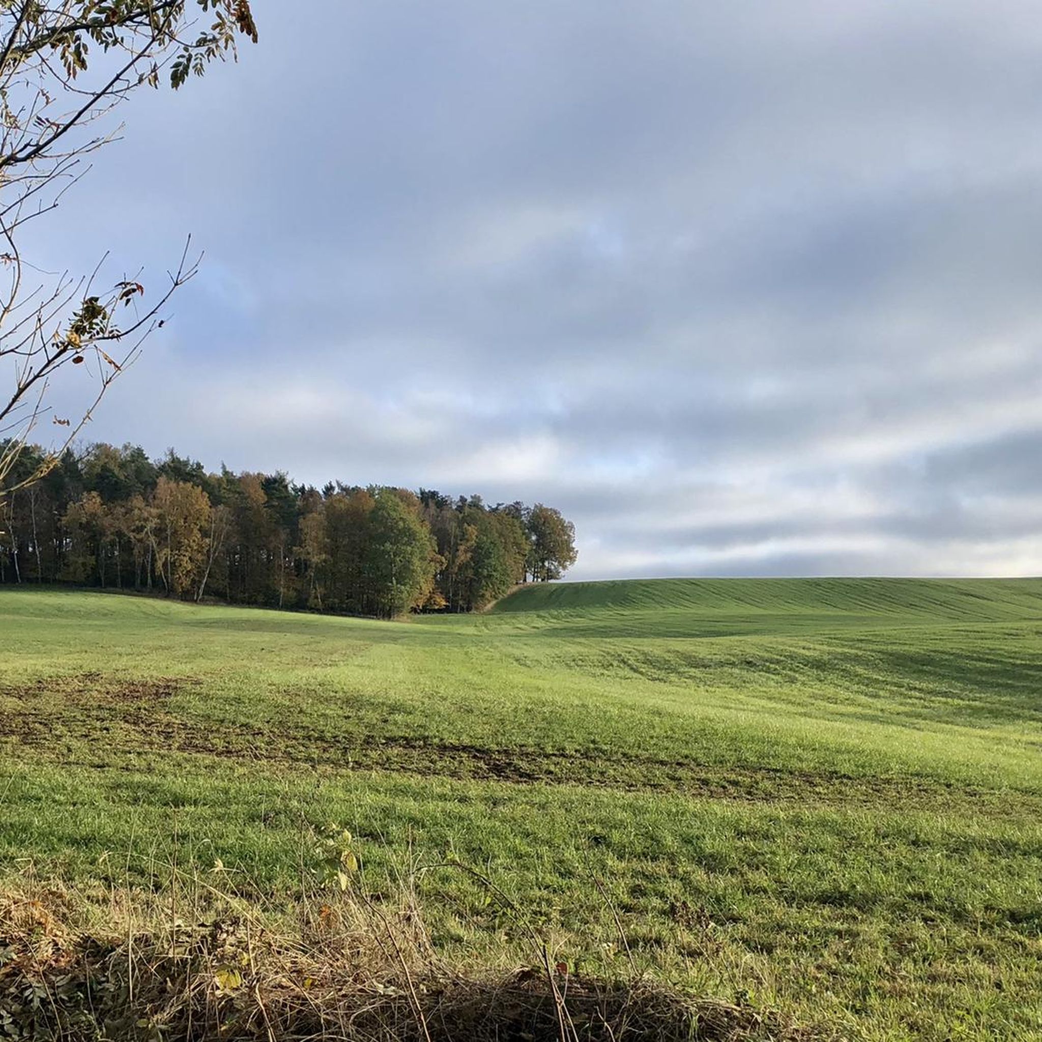
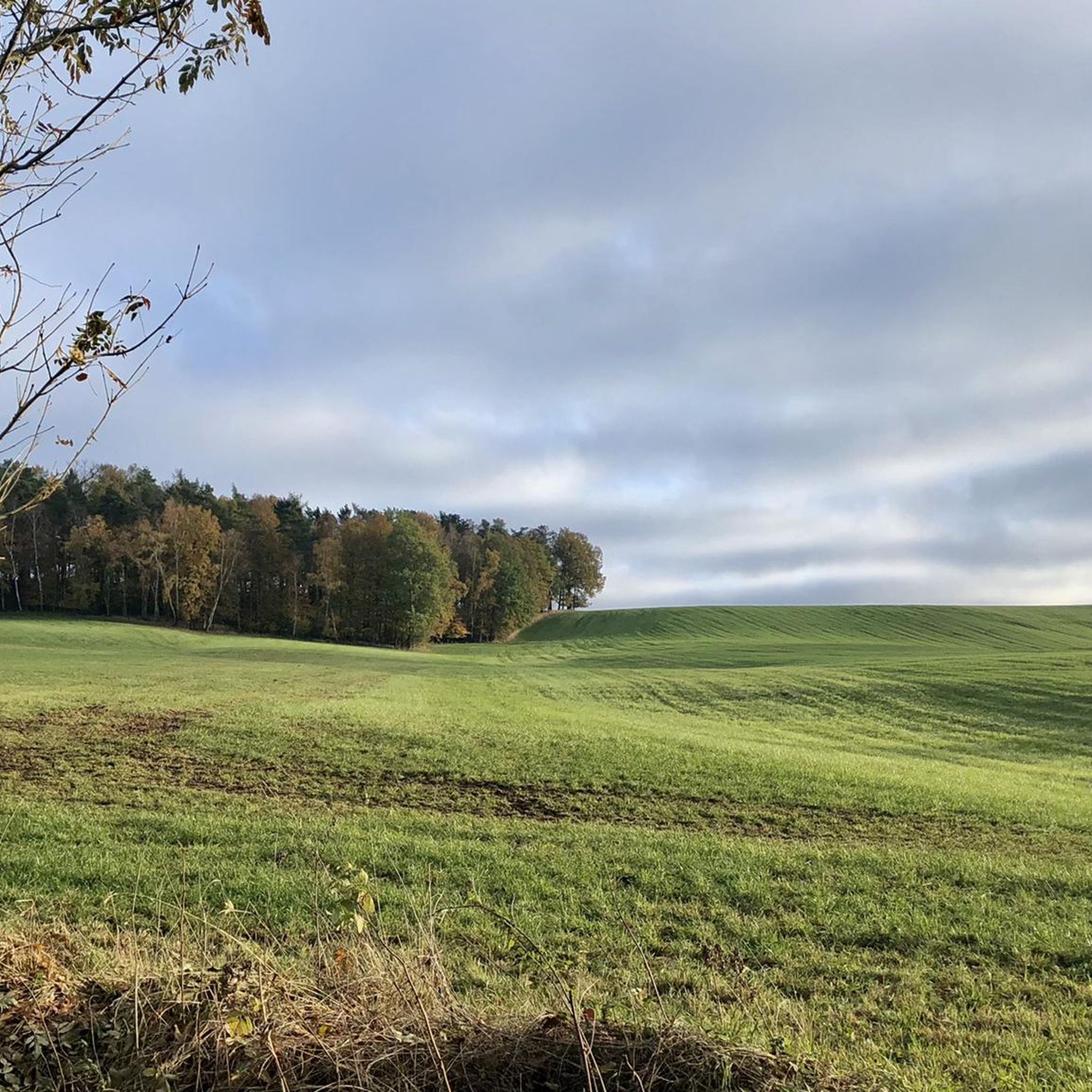
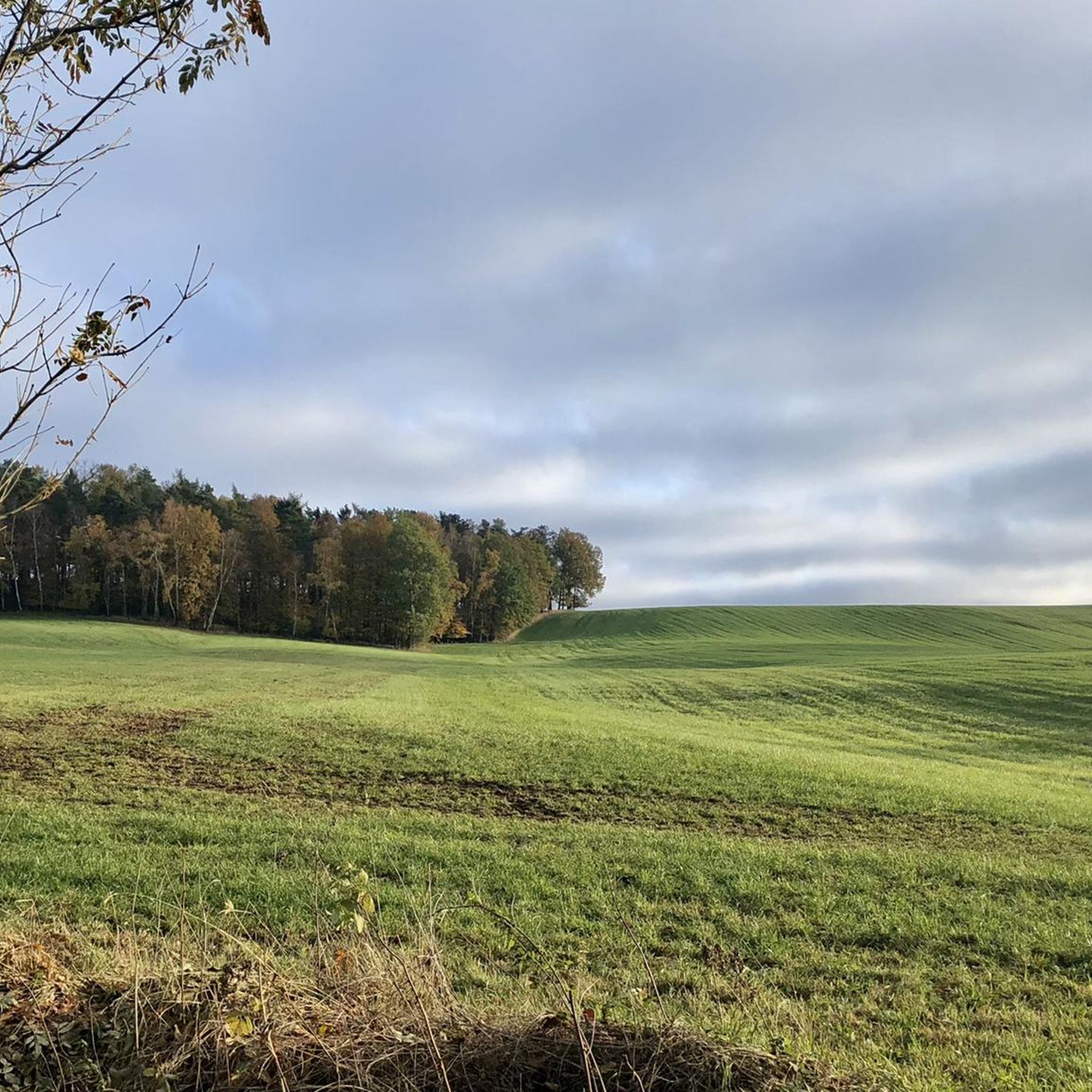
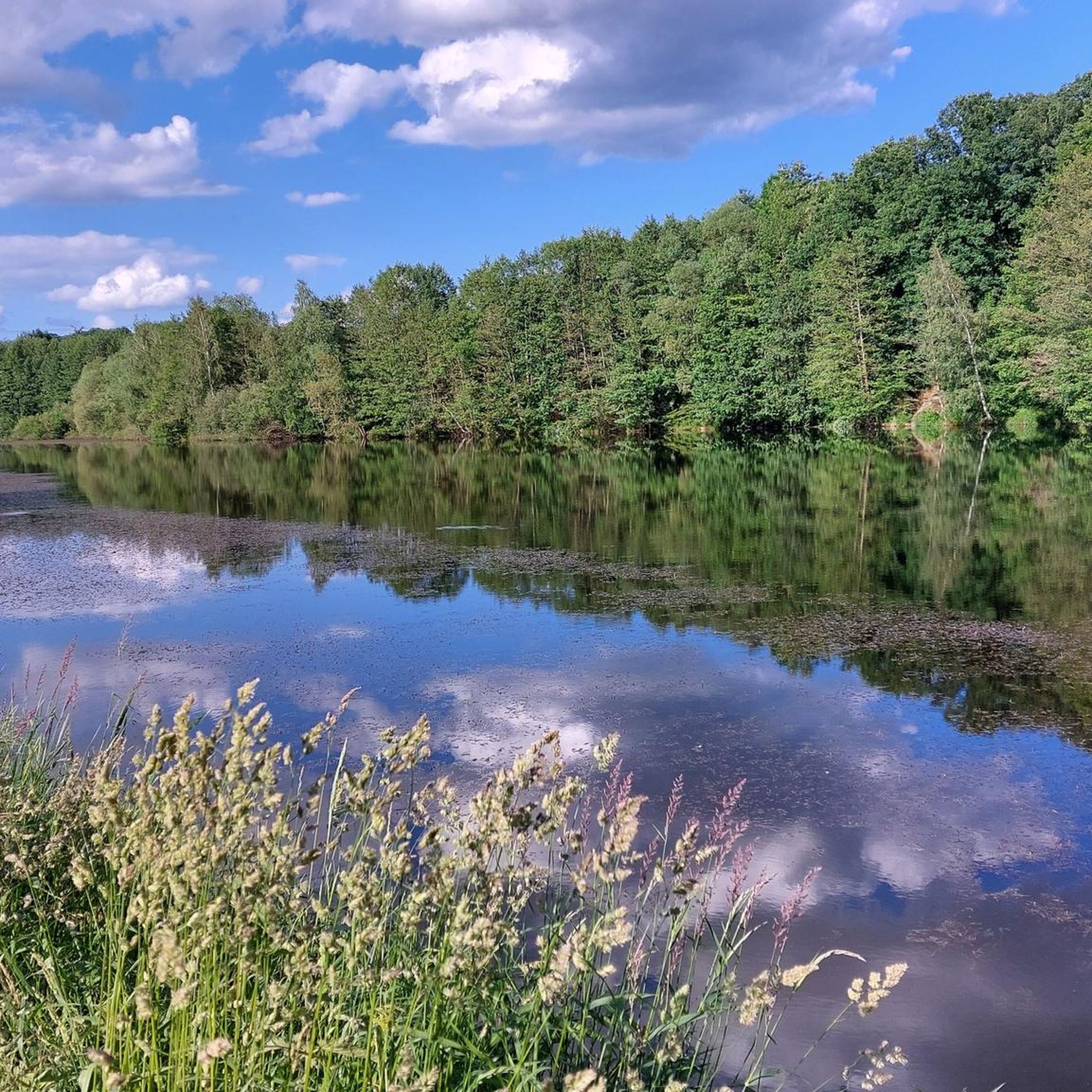
Tips from the Community

Fantastic nature, peace and quiet, and great cycle paths.
0
0


Besides cycling, a short hike on the Elsterperlenweg trail is also recommended. Sure-footedness is required.
2
0

Beautiful picnic area in the Werdau Forest.
0
0

FYI, the discovery tower is accessible all the way to the top (photo attached), but closed to climbing. As of August 2025, I had a fantastic view from up here. The Dragon's Tail Bridge is currently undergoing renovations after 18 years, expected to last until the end of November 2025, so it's closed. It's possible to walk through the bottom.
1
0

beautiful, well-developed cycle path
1
0

Wow... we were speechless several times today. What was going on here, past and present... Really interesting.
0
0
Wow... we were speechless several times today. What was going on here, past and present... Really interesting.
3
0
Frequently Asked Questions
How many gravel bike trails are available around Endschütz?
There are over 10 gravel bike trails documented on komoot for the Endschütz region, offering a variety of experiences for different skill levels. These routes navigate river valleys, nature reserves, and varied terrain.
Are there any easy gravel bike trails suitable for beginners or families?
While most routes around Endschütz are rated moderate, they are generally accessible. For a relatively gentle introduction, consider the White Elster Riverbank – Hüttchenberg Quarry loop from Berga (Elster), which follows riverbanks and has moderate elevation changes.
What kind of scenery can I expect on the gravel bike routes in Endschütz?
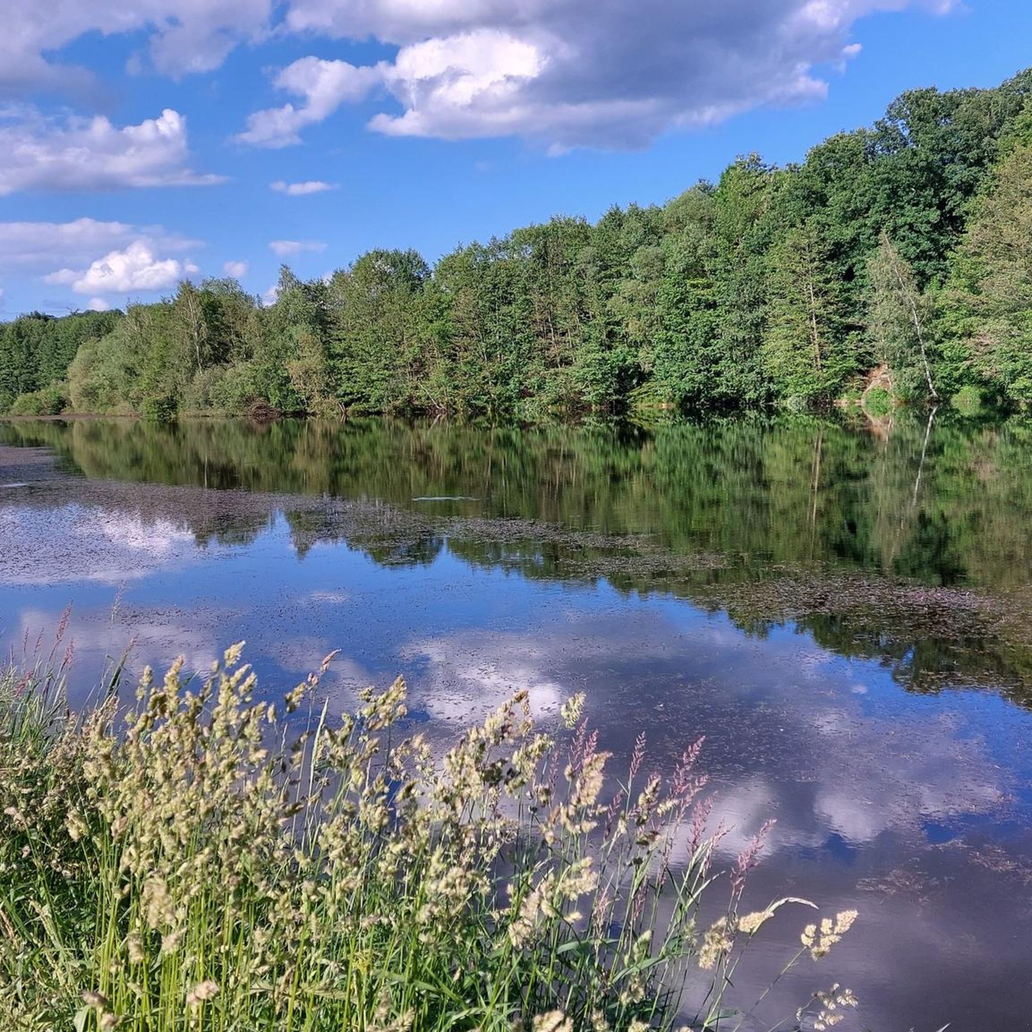
The Endschütz region offers diverse scenery, characterized by river valleys, such as along the White Elster River, and natural reserves like the Teich Kauern Nature Reserve. You'll encounter a mix of open landscapes and forested sections, with routes often featuring moderate climbs and descents.
Are there any interesting sights or landmarks along the gravel bike trails?
Yes, several routes pass by notable points of interest. For example, you might encounter the Schmirchauer Höhe — Grubengeleucht (Mining Lamp) Observation Tower, offering panoramic views, or the Auma Reservoir. The region also features natural monuments like the Slate rock at the Lehnamühle.
What do other gravel bikers enjoy most about the routes in Endschütz?
The gravel bike routes in Endschütz are highly rated by the komoot community, with an average score of 4.8 stars from over 10 reviews. Riders frequently praise the varied terrain, the scenic river sections, and the opportunity to explore nature reserves.
Are there any challenging gravel bike routes for experienced riders?
Yes, for more experienced riders seeking a challenge, there are several difficult routes. The region's terrain includes notable elevation gains, particularly in areas like the Teich Kauern Nature Reserve, providing a good workout. An example is the Drachenschwanz Bridge – White Elster Riverbank loop from Gera-Zwötzen, which features significant elevation changes.
Are most gravel bike routes in Endschütz circular?
Many of the popular gravel bike routes around Endschütz are designed as loops, allowing you to start and end at the same point. This includes routes like the Untermhäuser Bridge Gera – White Elster River loop from Gera Süd and the Miners' Lamp Schmirchauer Höhe – Teich Kauern Nature Reserve loop from Gera Süd.
What is the best season for gravel biking in Endschütz?
Gravel biking in Endschütz is enjoyable throughout much of the year. Spring and autumn offer pleasant temperatures and beautiful natural colors, while summer provides longer daylight hours. Winter riding is possible, but conditions can vary, so checking local weather and trail reports is advisable.
Are there places to stop for refreshments or rest along the trails?
While specific cafes are not listed directly on the routes, the trails often pass through or near towns and villages where you can find opportunities for refreshments. Additionally, you might find designated rest areas or huts, such as the Holzmichel Rest – Touringen Stamp Point No. 178 or the Liebschwitzer Hut, which can serve as good stopping points.
Where can I find parking for gravel biking in Endschütz?
Many routes start from accessible locations like Gera Süd, Berga (Elster), or Sorge-Settendorf, which typically offer parking facilities. It's recommended to check the specific starting point of your chosen route for detailed parking information.
Can I reach the gravel bike trails using public transport?
The starting points of several routes, such as those originating from Gera Süd or Gera-Zwötzen, are often well-connected by public transport, making it possible to access the trails without a car. We recommend checking local public transport schedules for the most convenient options to your chosen trailhead.
Are there any routes that offer particularly good viewpoints?
Yes, the region features several viewpoints that can be incorporated into your rides. Highlights include the Schmirchauer Höhe — Grubengeleucht (Mining Lamp) Observation Tower and the View from Zoitzberg, both offering expansive vistas of the surrounding landscape.
Most popular attractions around Endschütz

Get inspired with the komoot mobile app


Explore more
Browse the best Gravel rides in other regions.
