The best gravel rides around Nahetal-Waldau
4.6
(77)
343
riders
38
rides
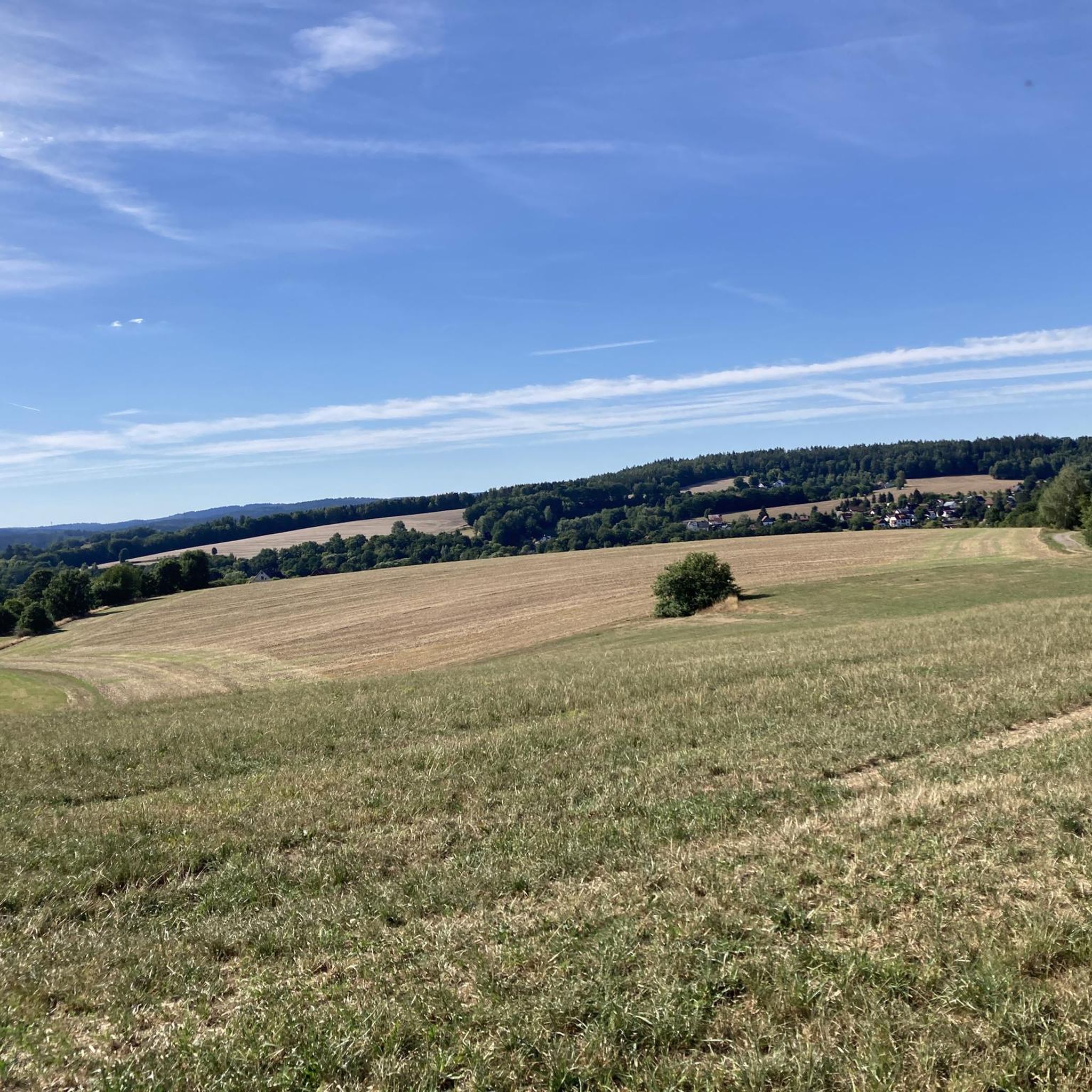
Gravel biking around Nahetal-Waldau offers diverse terrain within the Thuringian Forest, characterized by rolling hills and scenic river valleys. The region features a network of paths suitable for gravel bikes, traversing both forested areas and open countryside. Landscapes include the Werra and Nahe river systems, providing varied cycling experiences from riverside paths to more challenging climbs. This area is well-suited for exploring natural features and historic elements on mixed surfaces.
Best gravel bike trails around Nahetal-Waldau
- The most popular gravel…
Last updated: November 3, 2026
4.5
(4)
28
riders
48.8km
02:50
620m
620m
Hard gravel ride. Very good fitness required. Mostly paved surfaces.
5.0
(1)
18
riders
21.6km
01:29
480m
480m
Hard gravel ride. Very good fitness required. Mostly paved surfaces.

5.0
(3)
17
riders
Hard gravel ride. Very good fitness required. Mostly paved surfaces.
4.7
(7)
10
riders
50.9km
03:28
1,060m
1,060m
Hard gravel ride. Very good fitness required. You may need to push your bike for some segments of this route.
4.5
(4)
14
riders
Moderate gravel ride. Good fitness required. Mostly paved surfaces.
Get access to more routes and recommendations from other explorers.
Already have an account?
Our route recommendations are based on thousands of hikes, rides, and runs completed by other people on komoot.
Start today with a free account
Your next adventure awaits.
Tips from the Community

☆ A beautiful starting point to begin your goals on the Rennsteig.
0
0

The Große Dreiherrenstein (808 m) is a prominent historical border point and a central junction on the Rennsteig in the Thuringian Forest. The stone marks the historical border between the former lordships of Saxe-Weimar-Eisenach, Schwarzburg-Sondershausen, and Henneberg/Prussia.
5
0

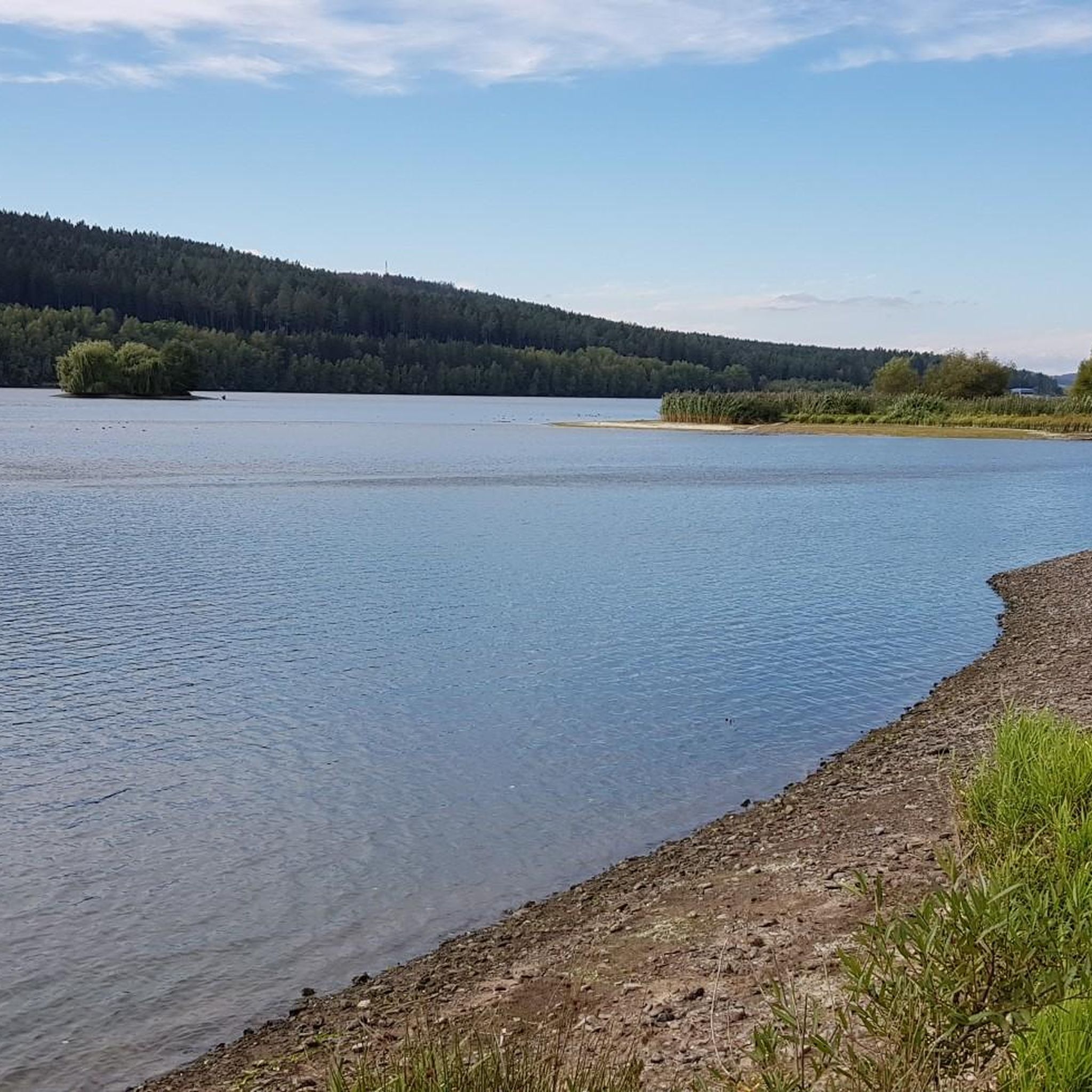
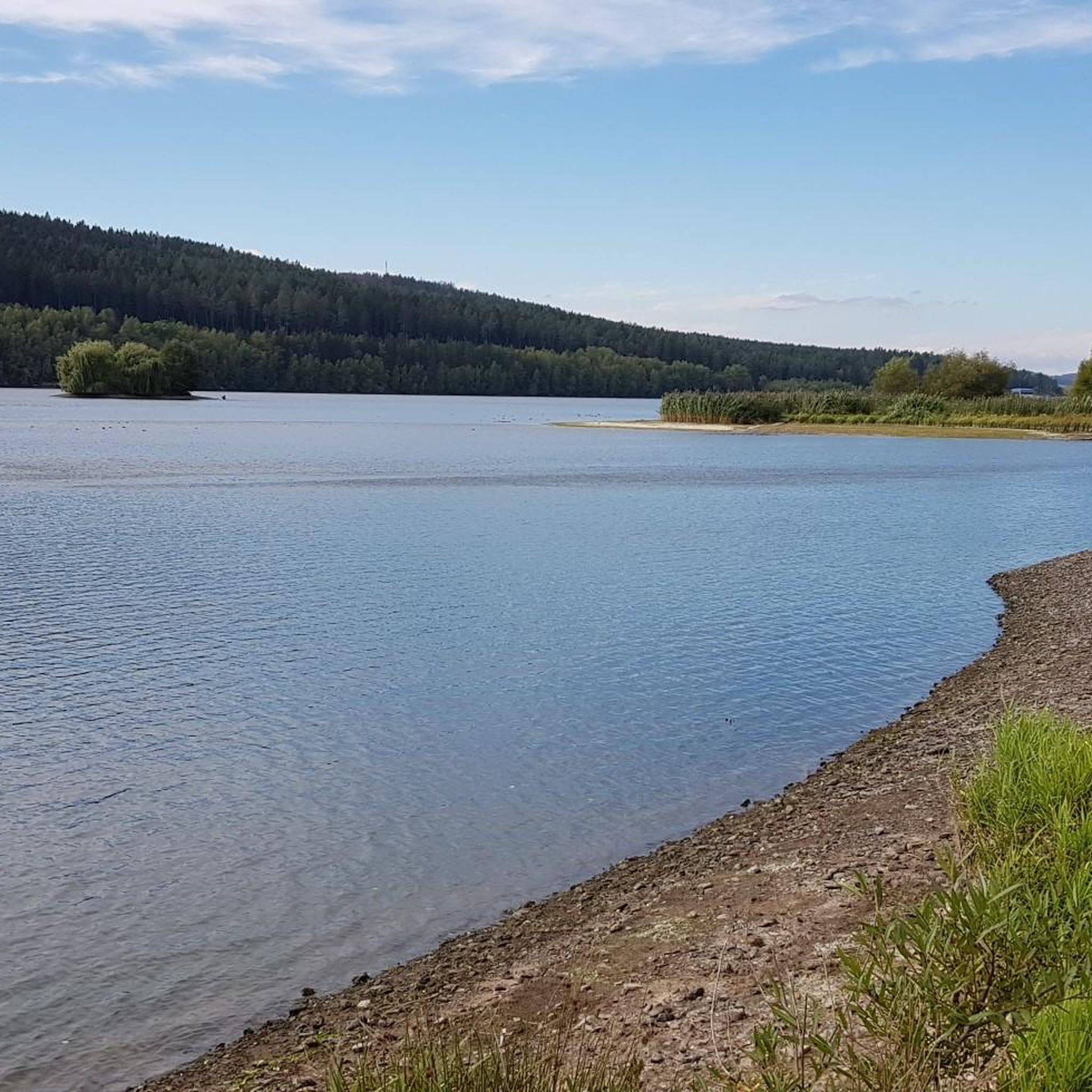
The loop around the Schönbrunn reservoir is about 14 km. There are enough resting places and views to enjoy are included anyway.
0
0

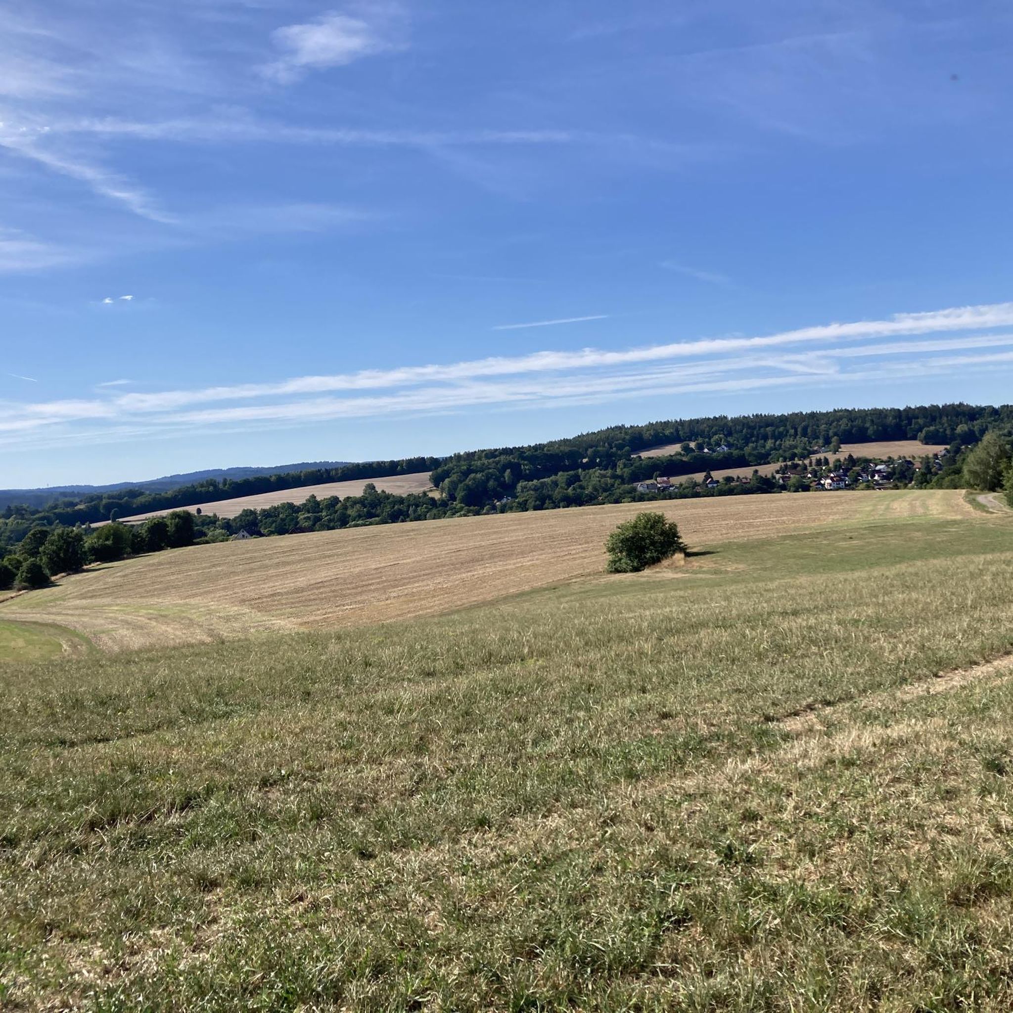
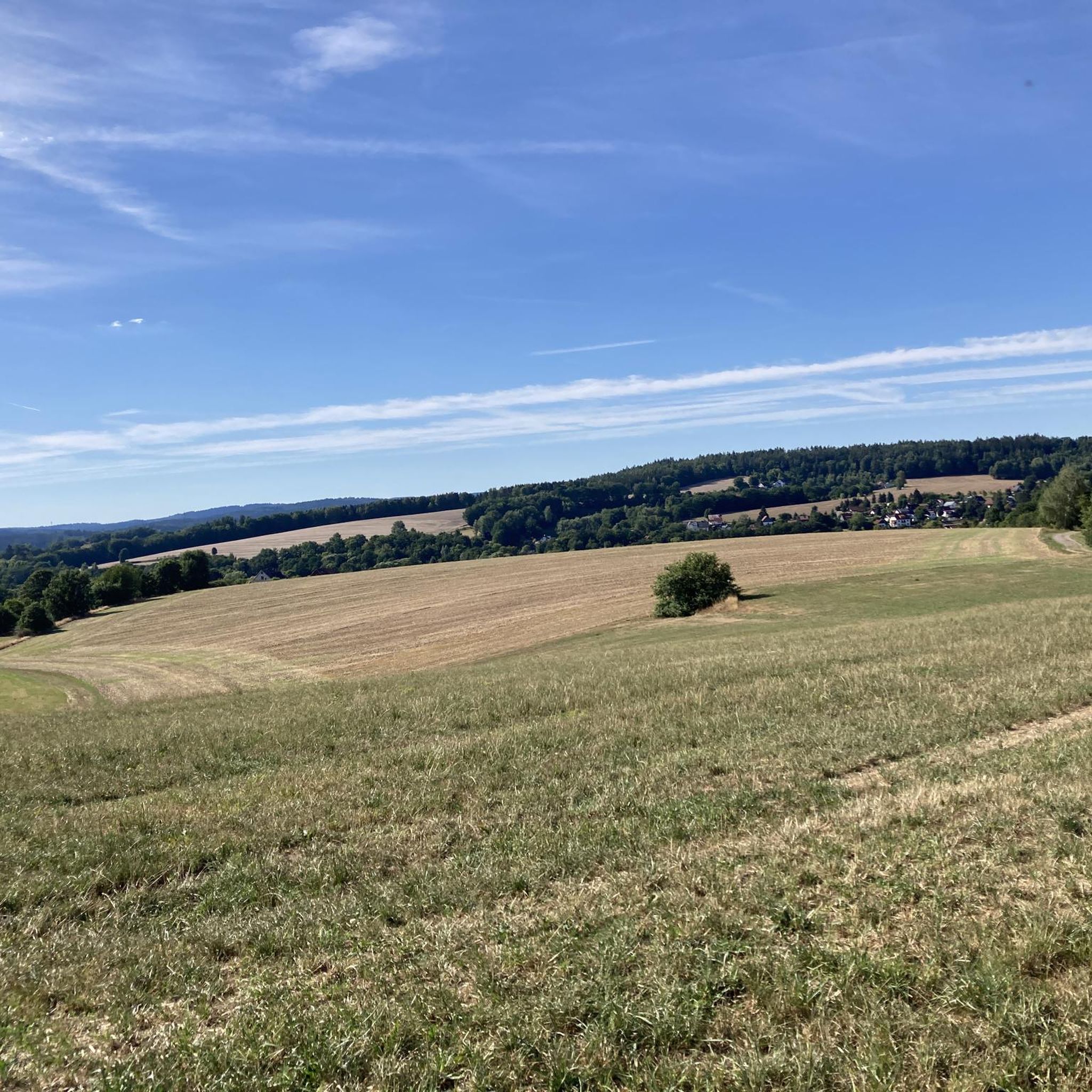
Top location on the Rennsteig: The proximity to the famous ridge trail allows for a combination of forest descents and ridge tours. Varied topography: Steep ascents from the Tannengrund or Reuscheltal demand stamina, but reward with brisk descents. Nature experience: The reservoir, with its bays, is reminiscent of a small fjord landscape in the middle of the dense low mountain forest. Tour combinations: Perfect as a stopover or turning point for larger loops, which often start in Schleusingen or Masserberg.
3
0
The Schönbrunn dam is located in the southern Thuringian Forest in the municipality of Schleusegrund (Hildburghausen district, Thuringia). It was commissioned in 1977. The dam is located about 20 kilometers south of Ilmenau and 15 kilometers northeast of Schleusingen. The river Schleuse is dammed. Source: https://de.wikipedia.org/wiki/Talsperre_Sch%C3%B6nbrunn#:~:text=Die%20Talsperre%20Sch%C3%B6nbrunn%20liegt%20im,Gestaut%20wird%20der%20Fluss%20Schleuse.
3
0
The Schönbrunn dam in the Thuringian Forest is attractive for mountain biking due to its charming combination of idyllic, flat shore paths and challenging, hilly ascents in the surrounding mountainous terrain around the Rennsteig. The circuit offers constant views of the blue water of the reservoir and the forest-rich heights of the Thuringian Forest.
3
0

It's a great place for hiking.
0
0

Large intersection with many small roads.
2
0
Frequently Asked Questions
How many gravel bike trails are available in Nahetal-Waldau?
There are nearly 50 gravel biking routes around Nahetal-Waldau, offering a wide range of experiences. These include 2 easy, 18 moderate, and 29 difficult trails, catering to various skill levels.
What kind of terrain can I expect on gravel bike trails around Nahetal-Waldau?
The trails in Nahetal-Waldau offer diverse terrain within the Thuringian Forest, from serene river valleys along the Werra and Nahe rivers to rolling hills. You'll encounter a mix of surfaces, including tarmac, gravel, and even some root trails, making it ideal for gravel bikes.
Are there any easy gravel biking routes suitable for beginners in Nahetal-Waldau?
Yes, there are a few easier routes. For instance, the Schönbrunn Reservoir – Schönbrunn Reservoir loop from Frauenwald is a popular choice that offers scenic views and is considered a good option for those looking for a less strenuous ride.
What are some scenic viewpoints or landmarks I can see along the gravel bike trails?
Many routes offer stunning views. You can find panoramic vistas from observation towers like the Adlersberg Observation Tower or the Observation tower on Großer Finsterberg. Some trails also pass by historic sites such as the Rosenkopf (938 m) – Boundary Stones on the Rennsteig.
Are there any routes that pass by castles or historical sites?
Yes, the region has a rich history. You might find routes that take you near historical landmarks such as Bertholdsburg Castle in Schleusingen or the Eisfeld Castle. The Eisfeld Old Town with its half-timbered houses also adds a cultural element to your ride.
What do other gravel bikers enjoy most about gravel biking in Nahetal-Waldau?
The area is highly rated by the komoot community, with an average score of 4.6 stars from over 50 reviews. Riders often praise the diverse landscapes, from serene river valleys to challenging climbs, and the extensive network of trails that cater to various skill levels. The mix of forested sections and open countryside is also frequently highlighted.
Are there any long-distance or more challenging gravel routes available?
Absolutely. For a more challenging experience, consider routes like the Rennsteig Train Station – Valley view from the Schmücke loop from Allzunah, which is a difficult 31.9-mile (51.3 km) path offering extensive valley views. Another demanding option is the Highest Point of the Rennsteig – Bierfleck Trail Junction loop from Schleusingen, covering over 50 km with significant elevation gain.
Are the gravel biking routes in Nahetal-Waldau typically circular?
Many of the gravel biking routes in Nahetal-Waldau are designed as circular loops, allowing you to start and end at the same point. Examples include the View of the Schönbrunn Reservoir – View of the Schönbrunn Reservoir loop from Waldau and the View of the Schönbrunn Reservoir – Schönbrunn Reservoir loop from Schleusingen, which both offer varied terrain and reservoir views.
Is Nahetal-Waldau suitable for family-friendly gravel biking?
While many routes involve varied terrain and some climbs, there are options that can be enjoyed by families. Look for routes described as 'easy' or those that follow flatter river paths, which are generally more suitable for a relaxed family outing. Always check the route details for elevation and surface type to ensure it matches your family's ability.
What is the best season for gravel biking in Nahetal-Waldau?
The Thuringian Forest region is beautiful throughout the warmer months. Spring and autumn offer pleasant temperatures and vibrant scenery, with autumn foliage being particularly stunning. Summer is also great, though some trails might be busier. Winter conditions can bring snow and ice, making some routes challenging or impassable for gravel biking.
Are there places to stop for refreshments or accommodation along the trails?
Yes, the region is accustomed to outdoor enthusiasts. You'll find huts with refreshments, such as at the Adlersberg Observation Tower, which can serve as welcome stops. Towns and villages within and around Nahetal-Waldau, like Schleusingen, offer cafes, pubs, and various accommodation options for longer stays.
Where can I find parking for gravel biking routes in Nahetal-Waldau?
Many trailheads and popular starting points in and around Nahetal-Waldau, especially near towns and attractions, will have designated parking areas. It's advisable to check the specific route details on komoot for recommended parking locations closest to your chosen starting point.
Most popular routes around Nahetal-Waldau
Most popular attractions around Nahetal-Waldau

Get inspired with the komoot mobile app


Explore more
Browse the best Gravel rides in other regions.
