The best gravel rides around Fröhnd
4.7
(41)
238
riders
31
rides
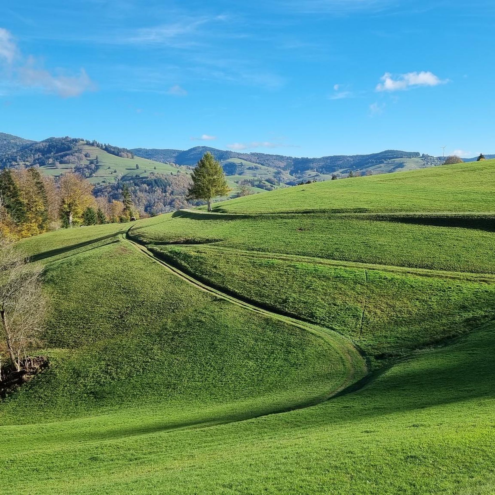
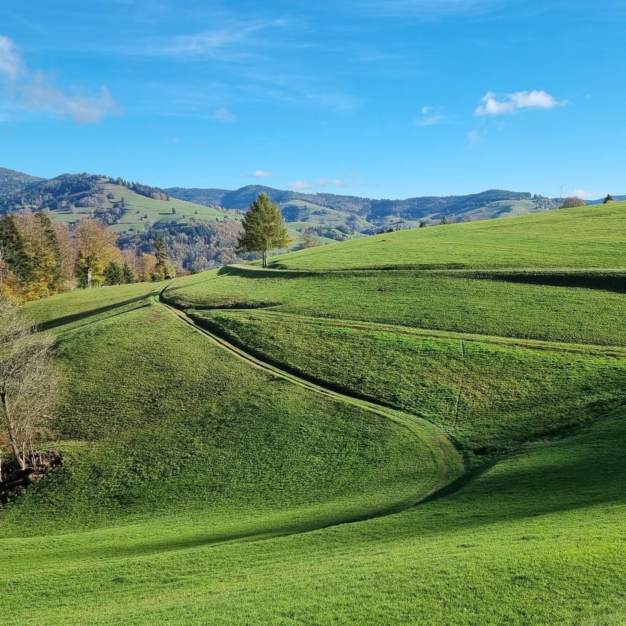
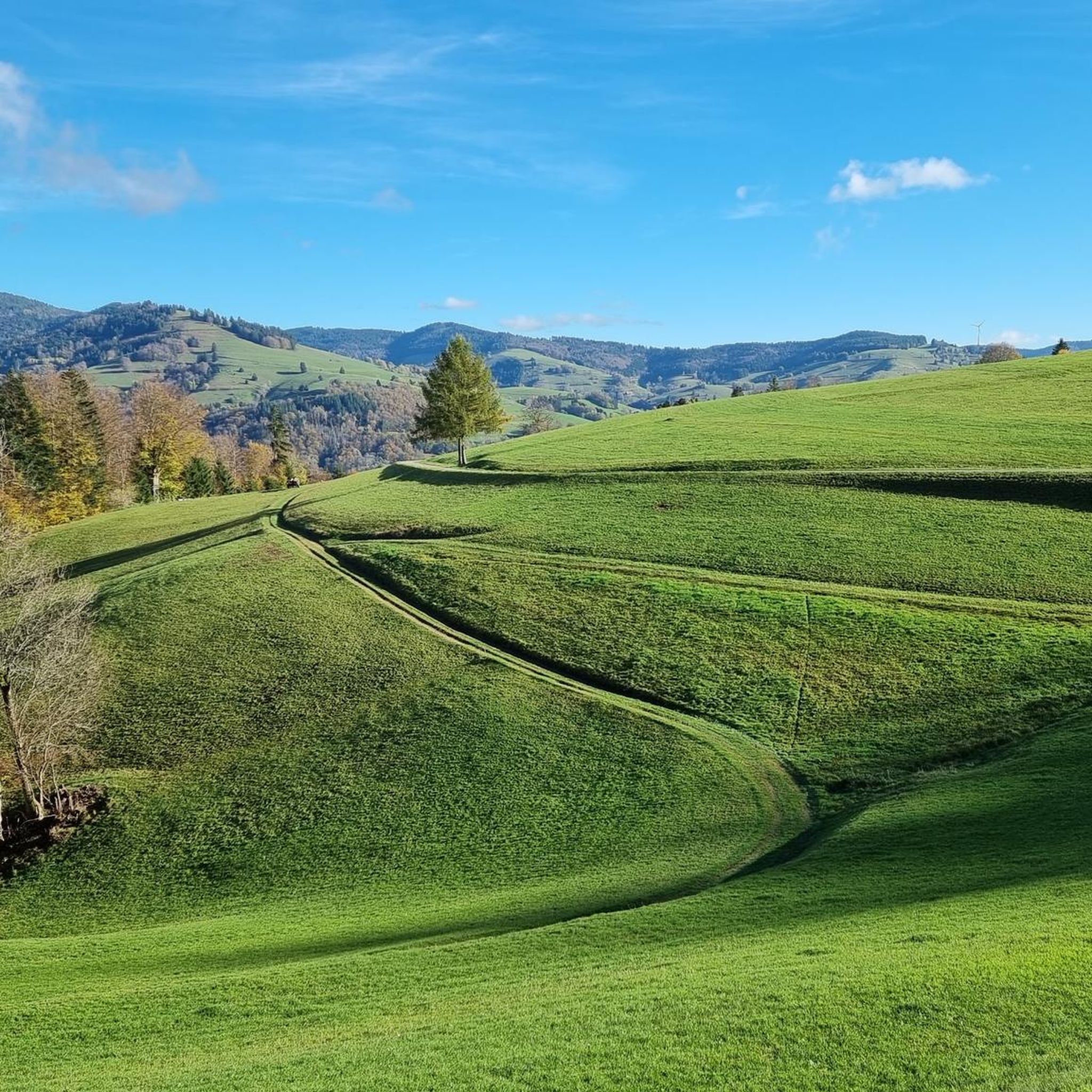
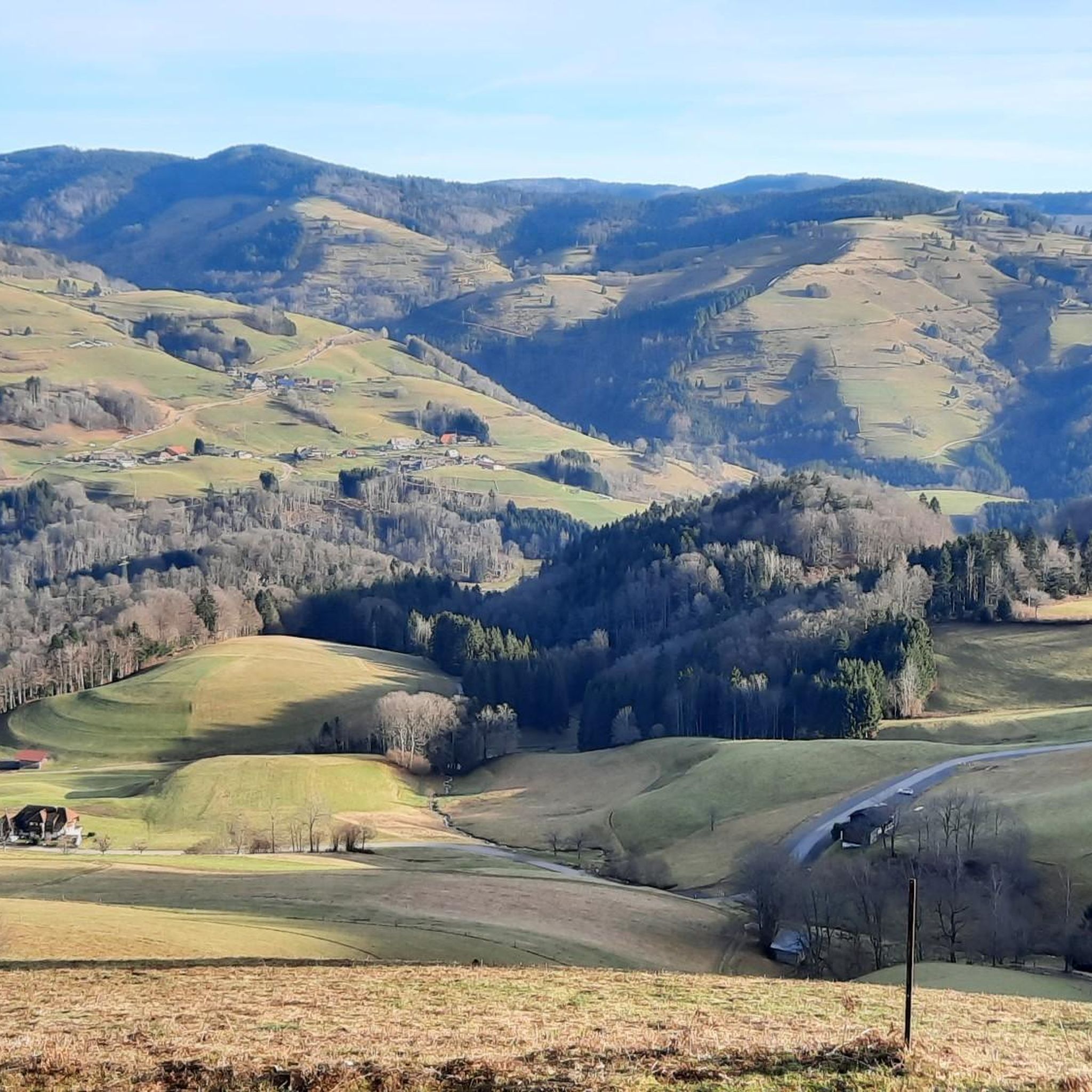
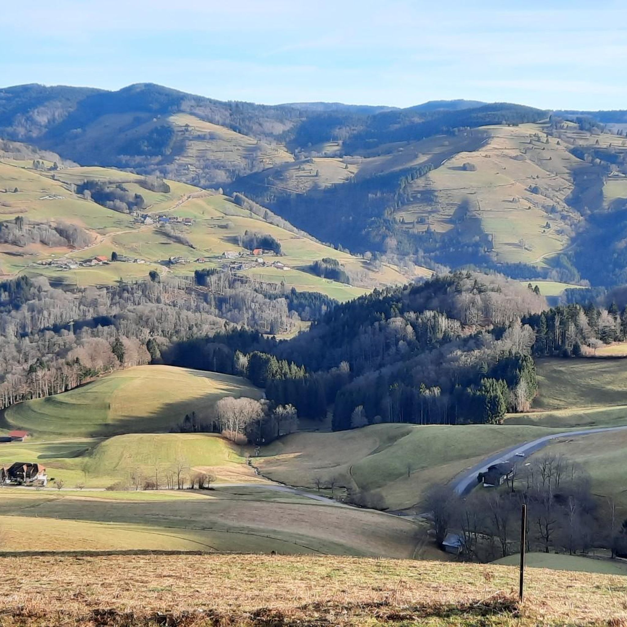
Gravel biking around Fröhnd offers diverse landscapes within the southern Black Forest of Germany. The region features wide forest paths and narrow trails, suitable for various skill levels. Elevation changes range from 400 to 1,200 meters above sea level, encompassing rolling hills, dense forests, and picturesque valleys. The Wiese River Valley characterizes the untouched scenery, while the Belchen Mountain (1,414 m) provides a prominent natural landmark.
Best gravel bike trails around Fröhnd
- The most popular gravel bike trail is The…
Last updated: August 23, 2026
4.3
(3)
17
riders
81.9km
07:22
1,990m
1,990m
Hard gravel ride. Very good fitness required. You may need to push your bike for some segments of this route.
3
riders
20.2km
02:17
630m
630m
Hard gravel ride. Very good fitness required. You may need to push your bike for some segments of this route.

Sign up for free
4.7
(3)
19
riders
45.5km
03:46
1,350m
1,350m
Hard gravel ride. Very good fitness required. Mostly paved surfaces. Suitable for all skill levels.
5.0
(1)
8
riders
39.6km
02:57
870m
870m
Hard gravel ride. Very good fitness required. Mostly paved surfaces. Suitable for all skill levels.
5.0
(3)
19
riders
26.7km
01:43
340m
340m
Moderate gravel ride. Good fitness required. Mostly paved surfaces. Suitable for all skill levels.
Get access to more routes and recommendations from other explorers.
Sign up for free
Already have an account?
Our route recommendations are based on thousands of hikes, rides, and runs completed by other people on komoot.
Start today with a free account
Your next adventure awaits.
Login or Signup

Other adventures around Fröhnd

Tips from the Community

The Kaiserbucht is a beautiful, somewhat quieter spot directly on the Schluchsee. The clear water and wooded shores provide a real Black Forest feeling – perfect for a break on your MTB tour and, on warm days, also for a cool-down.
0
0

On the sandier beach, there are also fewer large stones in the water!
0
0

Highly recommended ascent to the Hof and to the Feldsee - green, lonely, not too steep.
0
0

A popular sandy and pebble beach bay on the southern shore. Excellent for a swim on a hot day — calm, clean water with lovely views across the lake.
0
0

The tunnel is just on the way. But it's an interesting experience - especially if the lights fail... But don't panic, the tunnel isn't long!
0
0

At 34°C, it's a wonderfully cool stretch – but only on the return trip. You have to take the ride to experience the time of the "Todtnauerli"!
0
0

With a trained eye, one can see here and there that these are terminal moraines from the Ice Age.
0
0

a great bike path,
0
0
Frequently Asked Questions
What kind of terrain can I expect on gravel bike trails around Fröhnd?
Fröhnd, nestled in the southern Black Forest, offers a diverse mix of terrain ideal for gravel biking. You'll find wide forest paths perfect for cruising, alongside narrower trails that provide a more technical challenge. The region features significant elevation changes, from 400 to 1,200 meters above sea level, encompassing rolling hills, dense forests, and picturesque valleys, ensuring a varied and engaging ride.
Are there any easy gravel bike routes suitable for beginners or families in Fröhnd?
Yes, while many routes in Fröhnd offer a challenge, there are options for easier rides. The region's extensive network includes paths suitable for different ability levels. For a more relaxed experience, look for routes that follow the Wiese River Valley, which characterizes the wide, untouched scenery with less strenuous climbs. There is at least one easy route available, and 11 moderate routes that might be suitable for families or beginners looking for a bit more distance without extreme difficulty.
What natural attractions or viewpoints can I see while gravel biking in Fröhnd?
Fröhnd is rich in natural beauty. You can encounter impressive sights like the Todtnau Waterfall, a spectacular 97-meter-high cascade. The Belchen Summit (1,414 m) offers breathtaking panoramic views of the Rhine Valley, the Vosges, and even the Alps on clear days. Many routes also traverse the scenic Wiese River Valley, known for its untouched landscapes.
Are there any circular gravel bike routes in the Fröhnd area?
Yes, many of the gravel bike trails around Fröhnd are designed as loops, allowing you to start and finish at the same point. For example, the challenging World's Largest Tree Bench – Almgasthaus Knöpflesbrunnen loop from Utzenfeld is a popular option that explores the scenic Black Forest landscape with substantial climbs. Another great loop is the Belchen Summit (1,414 m) – Wiedener Eck Pass loop from Schönau im Schwarzwald, which takes you through the stunning Belchen area.
What do other gravel bikers say about the trails in Fröhnd?
The gravel biking experience in Fröhnd is highly regarded by the komoot community, with an average score of 4.7 stars from over 50 reviews. Riders often praise the varied terrain, from wide forest paths to narrow trails, and the stunning natural beauty of the Black Forest. The extensive network of routes caters to different skill levels, making it a popular destination for many.
Can I bring my dog on the gravel bike trails in Fröhnd?
Generally, dogs are welcome on many outdoor trails in the Black Forest region, including gravel paths, as long as they are kept on a leash and you adhere to local regulations regarding nature protection and wildlife. It's always a good idea to check specific trail signage or local municipality rules for any particular restrictions, especially in nature reserves.
Are there any cafes or restaurants along the gravel bike routes in Fröhnd?
While specific cafes directly on every route are not listed, the Fröhnd region, being part of the Black Forest, has various mountain lodges (like Krunkelbachhütte Mountain Lodge) and guesthouses that often offer refreshments. It's advisable to plan your route and check for establishments in nearby villages like Fröhnd, Utzenfeld, or Schönau im Schwarzwald for food and drink options.
What is the best time of year for gravel biking in Fröhnd?
The Black Forest region around Fröhnd is suitable for outdoor activities throughout the year. Spring and autumn offer pleasant temperatures and beautiful scenery with changing foliage. Summer provides longer daylight hours, while winter transforms the area into a snowy landscape, which might require different gear or limit access to some trails. For typical gravel biking, late spring through early autumn is generally ideal, offering the best conditions on forest paths and trails.
How many gravel bike trails are available around Fröhnd?
There are over 40 gravel bike trails available around Fröhnd on komoot, offering a wide range of options for different skill levels and preferences. This includes 1 easy route, 11 moderate routes, and 32 difficult routes, ensuring there's something for every gravel biker.
Are there any advanced or challenging gravel bike routes in Fröhnd?
Absolutely. Fröhnd is known for its challenging terrain, with 32 difficult routes available. A prime example is The Schnelle (Fast One), a difficult 20.2 km trail featuring significant elevation gain through varied forest terrain. Another demanding option is the St. Amantini hut – Todtnauerli Tunnel loop from Zell (Wiesental), which covers over 50 km with substantial climbing.
What are the options for parking when cycling in Fröhnd?
While specific parking spots for cyclists are not detailed for every trailhead, villages within the Fröhnd area and surrounding towns like Utzenfeld, Schönau im Schwarzwald, or Zell (Wiesental) typically offer public parking facilities. It's recommended to check local signage upon arrival for designated parking areas, especially near popular starting points for tours.
Can I reach Fröhnd and its gravel trails using public transport with my bike?
The Black Forest region has a public transport network, including buses and trains, that connects various towns and villages. While specific details for bike transport on all routes are not provided, it's generally possible on regional trains and some buses, often with dedicated bike compartments or at certain times. It's best to consult the local transport authority's website or the Schwarzwald Tourismus website for up-to-date information on bike transport policies and schedules to plan your journey to Fröhnd.
Most popular attractions around Fröhnd

Get inspired with the komoot mobile app


Explore more
Browse the best Gravel rides in other regions.
