The best cycling routes around Fröhnd
4.6
(1073)
6,600
riders
165
rides
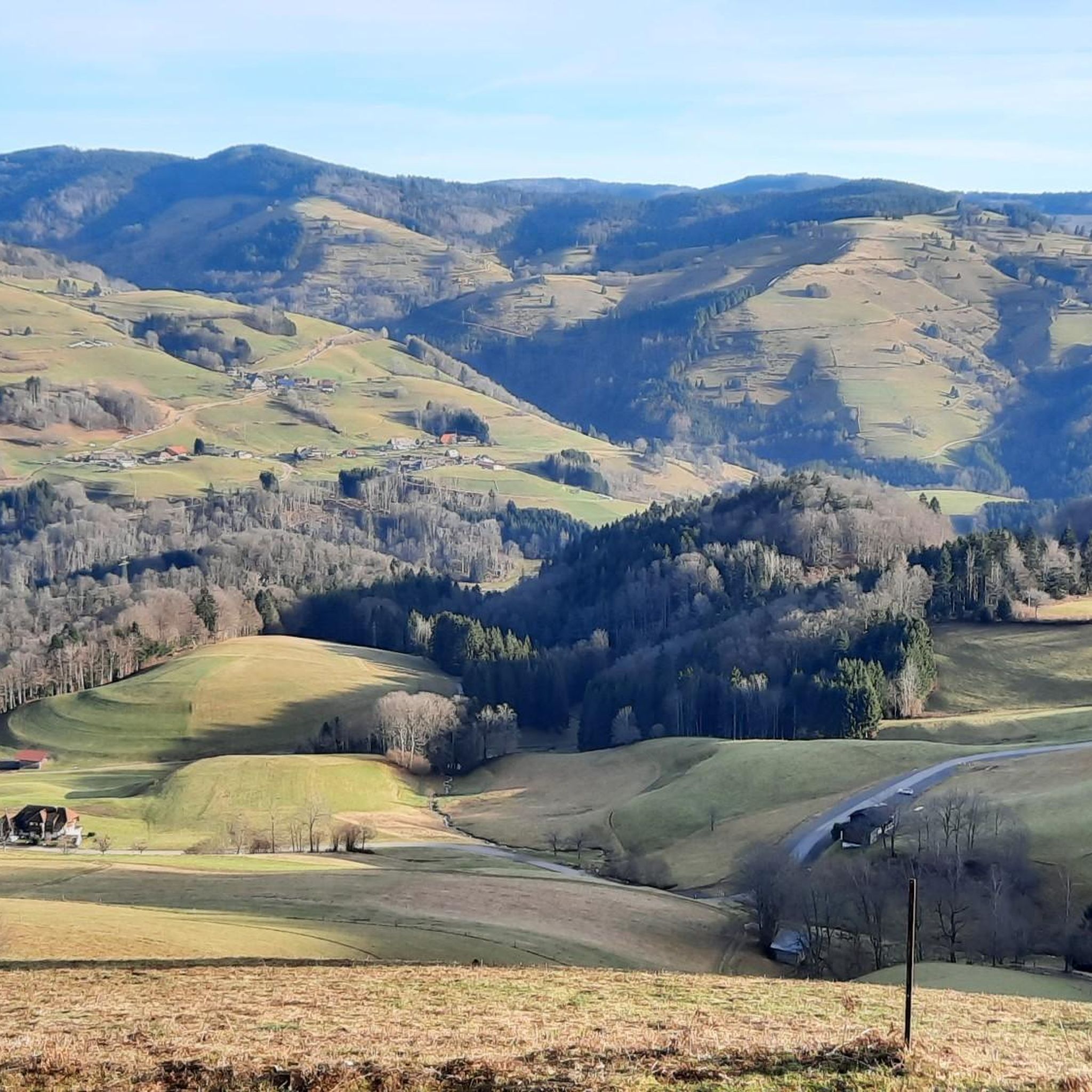
Touring cycling routes around Fröhnd are set within the Southern Black Forest, characterized by dense forests, rolling hills, and the scenic Upper Wiesental valley. The region's elevation, ranging from 500 to 1200 meters, provides diverse terrain for cyclists. Routes often follow the River Wiese, offering generally flatter paths, while higher elevations lead to significant peaks like Belchen and Herzogenhorn. These natural features contribute to varied cycling experiences, from gentle rides to challenging climbs with panoramic views.
Best touring cycling routes…
Last updated: August 18, 2026
4.8
(54)
159
riders
42.0km
03:23
760m
760m
Hard bike ride. Very good fitness required. Mostly paved surfaces. Suitable for all skill levels.
4.6
(16)
79
riders
Easy bike ride. Great for any fitness level. Mostly paved surfaces. Suitable for all skill levels.

Sign up for free
4.9
(7)
75
riders
28.2km
02:35
990m
990m
Hard bike ride. Very good fitness required. Mostly paved surfaces. Suitable for all skill levels.
5.0
(2)
42
riders
Hard bike ride. Very good fitness required. Mostly paved surfaces. Suitable for all skill levels.
36
riders
121km
09:04
2,890m
2,890m
Hard bike ride. Very good fitness required. Mostly paved surfaces. Suitable for all skill levels.
Get access to more routes and recommendations from other explorers.
Sign up for free
Already have an account?
Our route recommendations are based on thousands of hikes, rides, and runs completed by other people on komoot.
Start today with a free account
Your next adventure awaits.
Login or Signup

Other adventures around Fröhnd

Tips from the Community


If your route leads directly from Checkpoint Hinter Stadel to Checkpoint Ranch (or vice versa), we'll actually give you the Belchen for free. Your path will lead over the Wiedener Eck anyway, and from there it's only a little over 400 meters of elevation gain extra to the Belchen. This makes it (if you count the two Kaiserstuhl peaks as one) the smallest peak of the Nuff Na. It's all just a question of perspective. Speaking of perspective: The word comes from the 16th century from the French perspective ("art of seeing, distant view"). And from up there, you have a view over the entire Southern Black Forest, to the Vosges, and even to the Alps. Enjoy it!
0
0

The tunnel is just on the way. But it's an interesting experience - especially if the lights fail... But don't panic, the tunnel isn't long!
0
0

A lovely, well-maintained old inn. I remember it from my childhood. Even under the new owners, it's just as cozy and serves good, hearty food.
0
0

At 34°C, it's a wonderfully cool stretch – but only on the return trip. You have to take the ride to experience the time of the "Todtnauerli"!
0
0

relaxed driving on the former track bed
0
0
a great bike path,
0
0
A great cycle path following the tracks of the old narrow-gauge railway
0
0
Frequently Asked Questions
How many touring cycling routes are available around Fröhnd?
There are over 150 touring cycling routes around Fröhnd, offering a wide range of experiences for different skill levels. The komoot community has explored these routes over 5000 times, highlighting the area's popularity among cyclists.
What is the general difficulty level of touring cycling routes in Fröhnd?
The routes around Fröhnd offer a diverse range of difficulties. You'll find about 12 easy routes, 50 moderate routes, and 94 challenging routes. This variety ensures that both casual riders and experienced cyclists can find suitable paths, from gentle riverside trails to demanding mountain climbs.
Are there any easy touring cycling routes suitable for beginners or families?
Yes, there are several easy routes perfect for beginners or families. One popular option is the Todtnauerli Railway Trail – Former Utzenfeld Train Station loop from Schönau im Schwarzwald. This 7.9-mile (12.8 km) trail follows a former railway line, providing a gentle ride through the scenic Wiesental valley with minimal elevation changes.
Can I find challenging touring cycling routes with significant climbs and panoramic views?
Absolutely. Fröhnd, nestled in the Southern Black Forest, offers numerous challenging routes with substantial climbs and rewarding panoramic views. For instance, the View from Belchen Summit – Belchen Inn loop from Schönau im Schwarzwald is a difficult 22.8-mile (36.7 km) route that ascends over 1100 meters, offering breathtaking vistas from the Belchen Summit, including the Rhine Valley, the Vosges, and even the Alps on clear days.
What natural landmarks or viewpoints can I see while cycling around Fröhnd?
The region is rich in natural beauty. You can cycle towards significant peaks like the Belchen Summit and Herzogenhorn for unparalleled panoramic views. The impressive Todtnau Waterfall, where water cascades 97 meters, is another rewarding natural spectacle. Additionally, you might encounter serene spots like Nonnenmatt Pond along your journey.
Are there any circular touring cycling routes available?
Many of the touring cycling routes around Fröhnd are designed as loops, allowing you to start and end at the same point. An example is the St. John's Church, Todtnau – Todtnau Town Center loop from Schönau im Schwarzwald, a moderate 13.6-mile (21.8 km) path that explores the area around Todtnau.
What kind of terrain can I expect on touring cycling routes in Fröhnd?
You can expect varied terrain, characteristic of the Southern Black Forest. Routes often traverse dense forests, rolling hills, and the scenic Upper Wiesental valley. While some paths follow the River Wiese, offering generally flatter sections, higher elevations lead to more challenging climbs towards peaks like Belchen and Herzogenhorn. The region's elevation ranges from 500 to 1200 meters, providing diverse cycling experiences.
Are there any cultural or historical attractions accessible by bike?
Yes, beyond the natural landscapes, you can discover unique cultural attractions. The 'Fröhnder Klopfsäge,' an oldest, still-functioning historical sawmill, offers insight into local heritage and can be a fascinating stop on your cycling tour.
What do other touring cyclists enjoy the most about touring cycling in Fröhnd?
The touring cycling routes in Fröhnd are highly rated by the komoot community, with an average score of 4.6 stars from over 800 reviews. Cyclists often praise the stunning natural landscapes, the diverse terrain catering to all abilities, and the rewarding panoramic views from the higher elevations.
Are there options for very long-distance touring cycling routes?
Yes, for those seeking extensive rides, Fröhnd offers very long-distance routes. An example is the Wiedener Eck Pass – Dietenbach lane loop from Schönau im Schwarzwald, a challenging 75.8-mile (121.9 km) route with nearly 3000 meters of elevation gain, perfect for experienced touring cyclists looking for an all-day adventure.
Are the touring cycling routes around Fröhnd suitable for dogs?
While specific dog-friendly routes aren't explicitly designated, many of the natural paths and forest trails around Fröhnd are generally suitable for cycling with a well-behaved dog, especially on less crowded sections. Always ensure your dog is on a leash where required and respect local wildlife and other trail users.
Are there places to stop for refreshments or accommodation along the routes?
Yes, the region offers various options for refreshments and accommodation. You'll find mountain inns and huts like Krunkelbachhütte Mountain Lodge and Kälbelescheuer Mountain Inn, which are popular stops for cyclists. These provide opportunities to rest, refuel, and enjoy local hospitality amidst the scenic Black Forest landscape.
Most popular routes around Fröhnd
Most popular attractions around Fröhnd

Get inspired with the komoot mobile app


Explore more
Browse the best Cycling routes in other regions.
