The best gravel rides around Dillingen/Saar
4.4
(32)
277
riders
71
rides
Gravel biking around Dillingen/Saar offers a diverse landscape characterized by river valleys, forested sections, and gentle hills. The region is shaped by the Saar and Nied rivers, providing numerous routes along their banks and through adjacent woodlands. Elevations are generally moderate, with some trails leading to elevated viewpoints. The terrain includes a mix of field paths, forest trails, and riverside sections, making it suitable for varied gravel biking experiences.
Best gravel bike trails around Dillingen/Saar
- The most popular gravel bike…
Last updated: May 21, 2026
3.5
(2)
21
riders
58.3km
03:35
660m
660m
Hard gravel ride. Very good fitness required. Mostly paved surfaces. Suitable for all skill levels.
4.3
(3)
12
riders
Moderate gravel ride. Good fitness required. Mostly paved surfaces. Suitable for all skill levels.

Sign up for free
14
riders
26.3km
01:31
250m
250m
Moderate gravel ride. Good fitness required. Mostly paved surfaces. Suitable for all skill levels.
4.0
(3)
12
riders
31.7km
01:42
280m
280m
Moderate gravel ride. Good fitness required. Mostly paved surfaces. Suitable for all skill levels.
6
riders
30.7km
02:09
570m
570m
Hard gravel ride. Very good fitness required. Mostly paved surfaces. Suitable for all skill levels.
Get access to more routes and recommendations from other explorers.
Sign up for free
Already have an account?
Our route recommendations are based on thousands of hikes, rides, and runs completed by other people on komoot.
Start today with a free account
Your next adventure awaits.
Login or Signup
Tips from the Community

German cycle paths, I haven't known better.
0
0

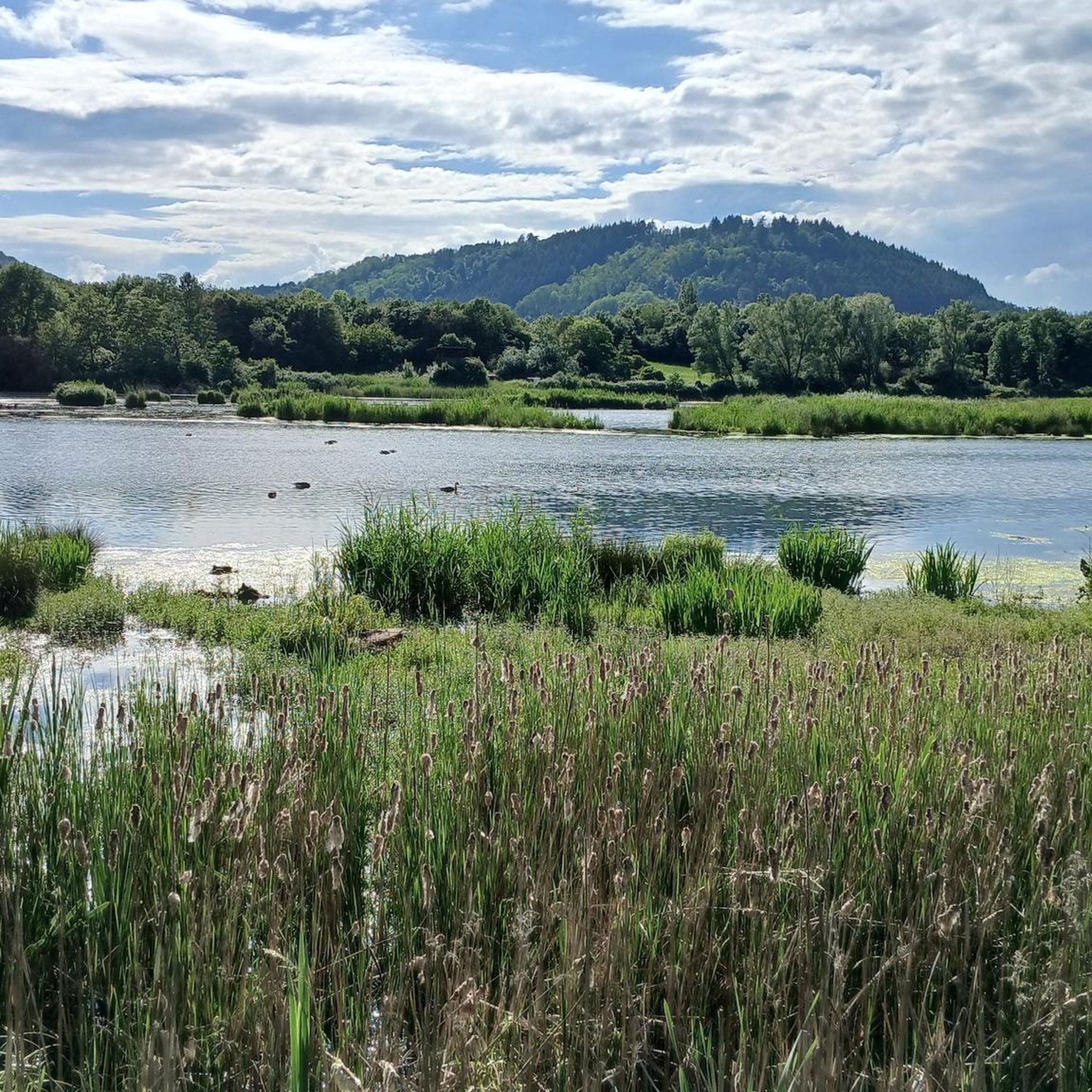
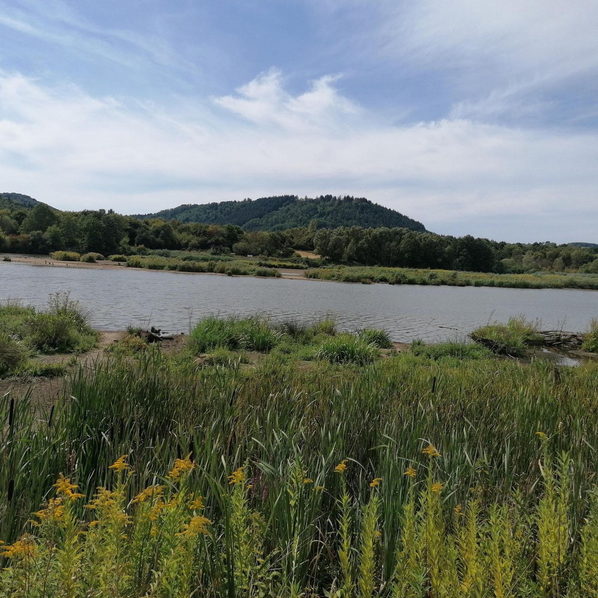
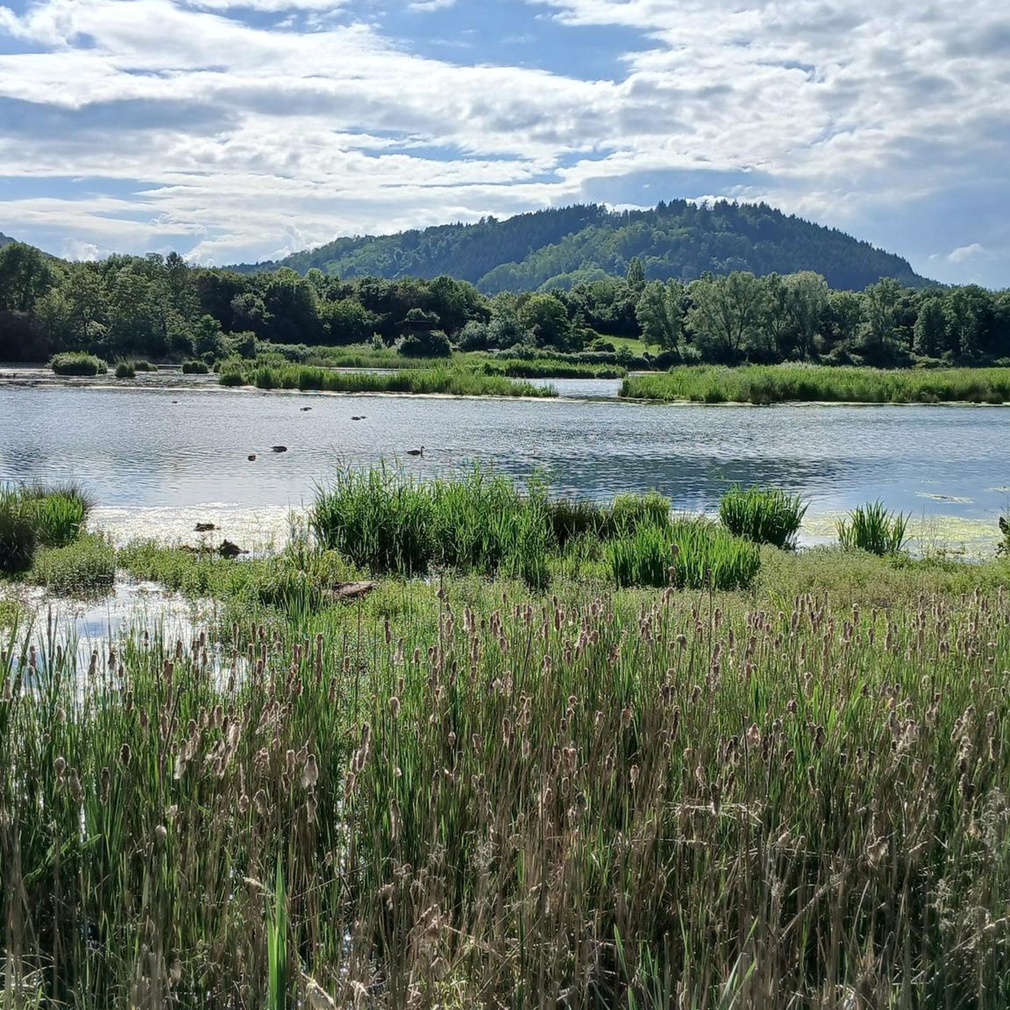
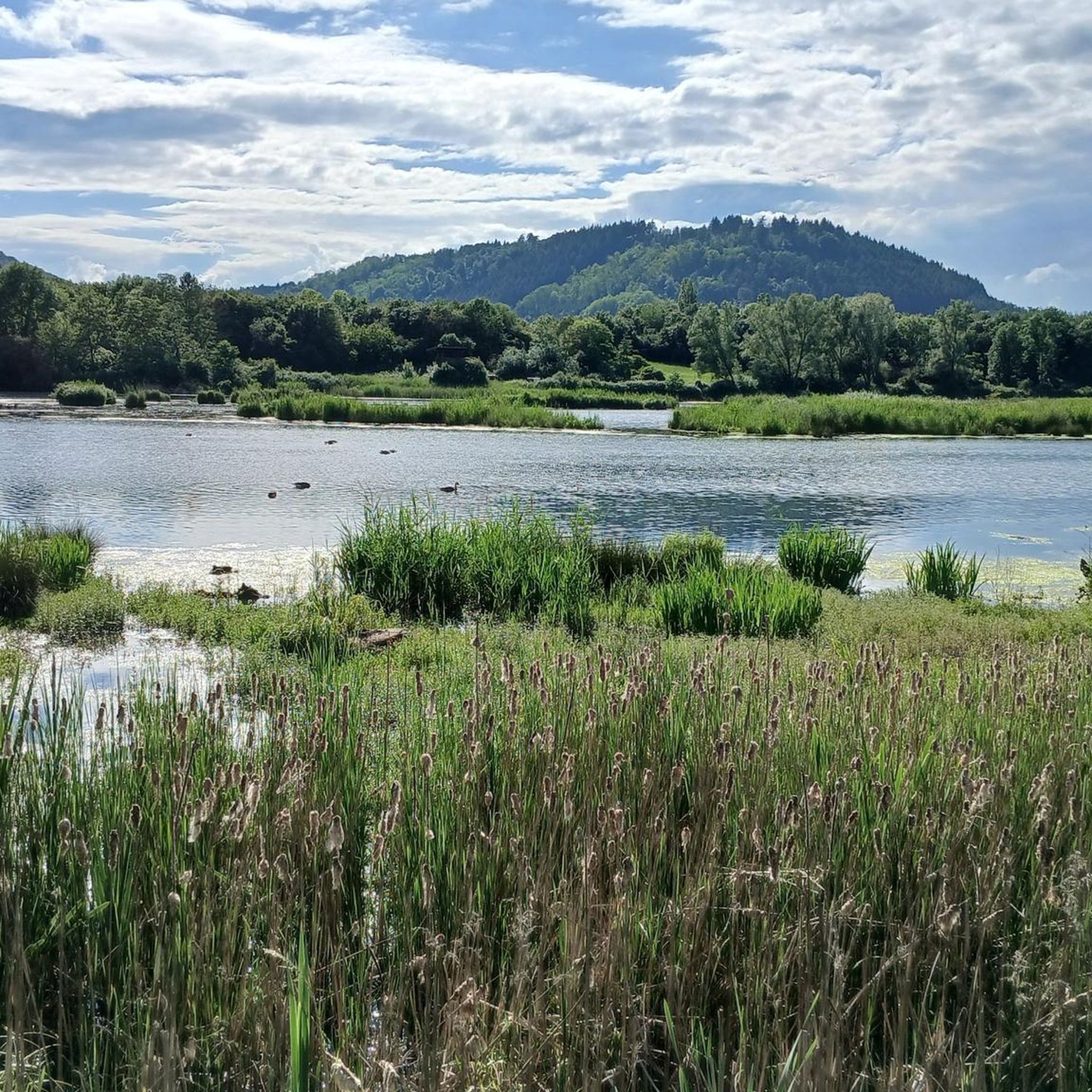
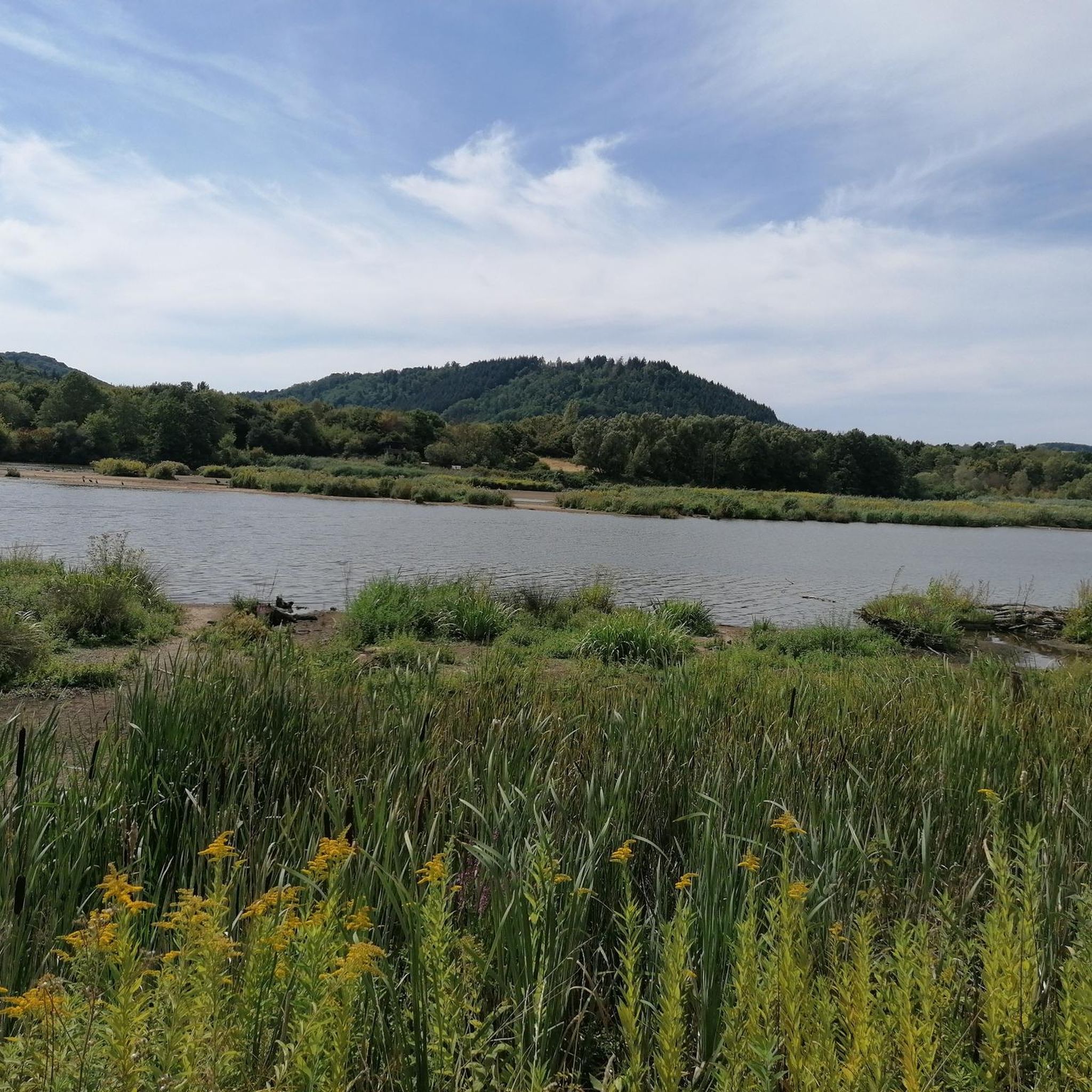
The pond system at Bommersbach is a natural retreat with tranquil water, shoreline vegetation, and small observation points. Reeds, trees, and the typical pond landscape create a peaceful microclimate, ideal for observing birds and aquatic life. Such facilities often serve both as recreational areas and – depending on their use – as well-maintained club waters with regular stocking and shoreline management.
0
0
The fishing hut on the grounds of the Bous Angling Club is an ideal starting point for the Bous Trail: Here you'll find a large overview sign showing the route (both the short and long trails), and you're immediately out in nature by the water. It's a peaceful place to arrive – and later a lovely destination when the loop ends back at the Bommersbach stream/pond. If you'd like to stop for refreshments: According to the club, the fishing hut is currently only open on a limited basis; it's best to check the current opening hours with the ASV (Angling Club). https://www.asv-bous.de/fischerhuette/
0
0

Great view.
0
0

Clearly visible from the Saar Cycle Route
1
0

Attention: wanted to have a beer there today (Thursday). Open only Saturday and Sunday. Be sure to check beforehand whether it is open or closed.
0
1

Unfortunately the bank no longer exists🤷♂️
0
0

former dynamite factory, Saarwellingen
0
0
Frequently Asked Questions
How many gravel bike trails are available around Dillingen/Saar?
There are over 120 gravel bike trails in the Dillingen/Saar region, catering to various skill levels. You'll find a good mix of easy, moderate, and more challenging routes.
What kind of terrain can I expect on gravel bike trails in Dillingen/Saar?
The region offers a diverse landscape characterized by river valleys, extensive forested sections, and gentle hills. Many routes follow the Saar and Nied rivers, providing scenic riverside riding, while others venture into adjacent woodlands and offer moderate ascents to elevated viewpoints.
Are there any family-friendly gravel bike routes in Dillingen/Saar?
Yes, Dillingen/Saar has several easy and moderate routes suitable for families. These often follow flatter sections along the river valleys, providing a pleasant experience for all ages. Look for routes described as 'easy' to find the most suitable options.
What are the best options for beginner gravel bikers in Dillingen/Saar?
Beginners will find a good selection of easier routes, particularly those that stick to the riverbanks. These trails typically have less elevation gain and smoother surfaces. For example, parts of the Wackenmühle on the Nied – Nied Valley Trail loop from Beckingen (Saar) offer a gentle introduction to gravel biking.
Where can I find longer or more challenging gravel bike routes for advanced riders?
Advanced riders seeking longer distances and more elevation can explore routes like the View of Schwarzenholz – View of Landsweiler loop from Saarlouis Hbf, which covers nearly 58 km with significant climbs. These routes often venture further into the forested hills, offering a more demanding ride.
Are there any circular gravel bike routes in the Dillingen/Saar area?
Yes, many of the gravel bike trails in Dillingen/Saar are designed as circular loops, allowing you to start and finish at the same point. A popular option is the Nied Valley Trail – Saar Cycle Route loop from Beckingen (Saar), which offers a varied ride through river valleys and forests.
What interesting natural attractions or viewpoints can I see along the gravel bike trails?
The region boasts several natural highlights. You can encounter impressive gorges like the Mühlenbach Gorge or the Pastorsgrät Gorge. For panoramic views, consider routes that include ascents to points like the Krickelsberg Observation Tower, as seen in the Saar Cycle Route – Krickelsberg Observation Tower loop from Dillingen (Saar).
What do other gravel bikers enjoy most about riding in Dillingen/Saar?
The gravel biking routes around Dillingen/Saar are highly rated by the komoot community, with an average score of 4.6 stars from over 100 reviews. Riders frequently praise the scenic river valleys, the peaceful forest paths, and the well-maintained trails that offer a great mix of natural beauty and enjoyable riding.
Is public transport available to access gravel bike trails in Dillingen/Saar?
Yes, Dillingen/Saar is well-connected by public transport. Many routes, such as the View of the Nied River – Nied Valley Trail loop from Saarlouis Hbf, start near train stations (like Saarlouis Hbf), making them easily accessible for those traveling without a car. Check local train and bus schedules for specific connections.
Are there any cafes or refreshment stops along the gravel bike routes?
Yes, especially along the more popular river routes and in towns like Dillingen, Saarlouis, or Beckingen, you'll find various cafes and restaurants. The Wackenmühle Riverside Inn and Waterfall is a notable spot that offers refreshments directly along a trail.
What is the best time of year for gravel biking in Dillingen/Saar?
Spring and autumn are generally ideal for gravel biking in Dillingen/Saar, offering pleasant temperatures and beautiful scenery as the foliage changes. Summer can also be enjoyable, especially on shaded forest paths, but be prepared for warmer weather. Winter riding is possible, but some trails might be muddy or icy, particularly in shaded areas.
Most popular routes around Dillingen/Saar
Most popular attractions around Dillingen/Saar

Get inspired with the komoot mobile app


Explore more
Browse the best Gravel rides in other regions.
