The best gravel rides around Pohle
4.6
(51)
313
riders
42
rides
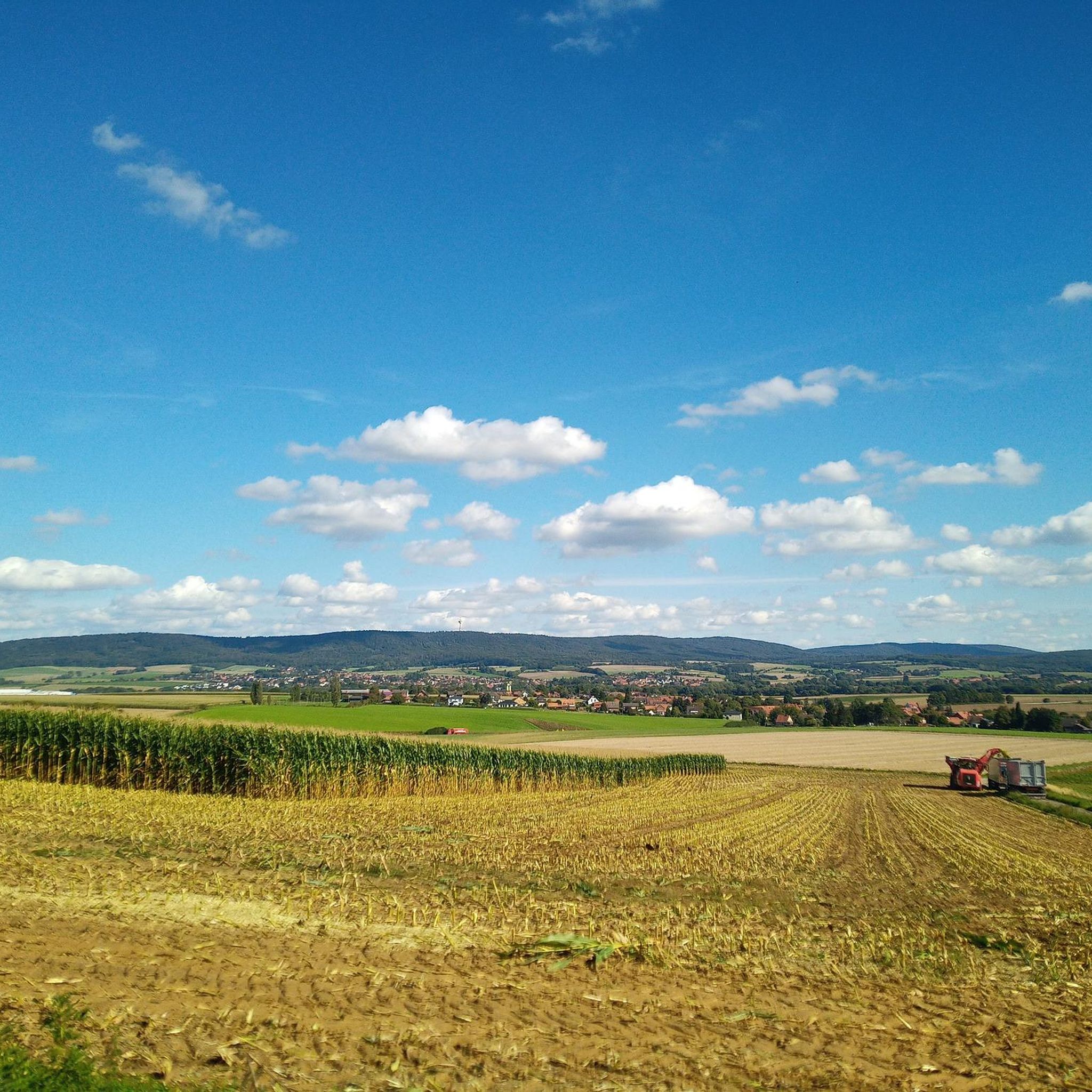
Gravel biking around Pohle offers routes through the Weserbergland region of Lower Saxony, Germany. The terrain is characterized by rolling hills, dense forests, and elevated sections providing panoramic views. This area features a mix of challenging climbs and varied surfaces suitable for gravel cycling. The landscape includes notable passes and uplands, contributing to diverse riding experiences.
Best gravel bike trails around Pohle
- The most popular gravel bike trail is Nienstedter Pass – View of the Calenberger Land loop from Bad…
Last updated: May 22, 2026
5.0
(2)
28
riders
Hard gravel ride. Very good fitness required. You may need to push your bike for some segments of this route.
5.0
(1)
15
riders
51.4km
03:34
1,100m
1,100m
Hard gravel ride. Very good fitness required. Mostly paved surfaces. Suitable for all skill levels.

Sign up for free
5.0
(2)
21
riders
58.1km
03:45
970m
970m
Hard gravel ride. Very good fitness required. Mostly paved surfaces. Suitable for all skill levels.
3
riders
43.8km
03:08
910m
910m
Hard gravel ride. Very good fitness required. You may need to push your bike for some segments of this route.
4.0
(4)
8
riders
Hard gravel ride. Very good fitness required. Mostly paved surfaces. Suitable for all skill levels.
Get access to more routes and recommendations from other explorers.
Sign up for free
Already have an account?
Our route recommendations are based on thousands of hikes, rides, and runs completed by other people on komoot.
Start today with a free account
Your next adventure awaits.
Login or Signup
Tips from the Community

You can eat very well 🥘 or just take a short break with coffee and cake 🍰 after hiking 🥾 in the Deister or cycling 🚴♂️
0
0

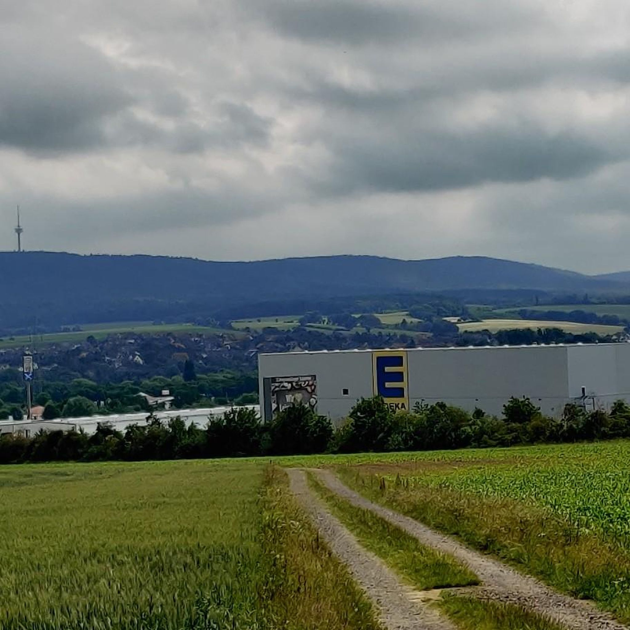
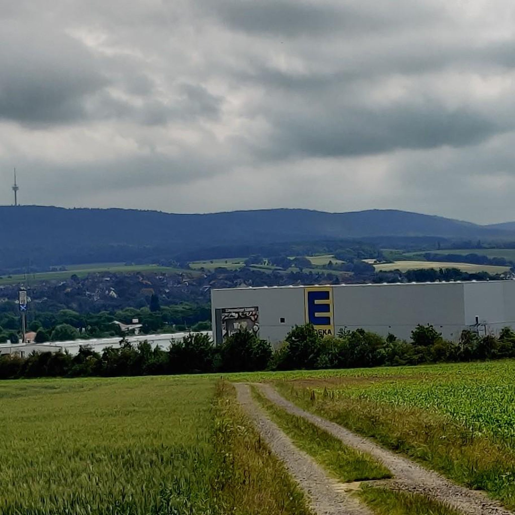
The Süntel Tower is temporarily closed. It may reopen on April 1st, 2026.
1
0

The Hohenstein in the Süntel hills is a striking rock formation and one of the most popular viewpoints in the Weser Uplands. From the approximately 340-meter-high cliff, there is a sweeping view across the Weser Valley and the surrounding hills. The Hohenstein's rocks are made of sandstone and drop steeply southward into the valley. From the natural viewpoints, especially the so-called "pulpit," the course of the Weser River, which meanders through the landscape in wide bends, is clearly visible. The area is part of the Süntel Nature Reserve and provides habitat for numerous animal and plant species.
1
0

Next to the construction sites for the State Garden Show is the idyllic NABU Oasis, worth a visit.
0
0

The Teufelskanzel (Devil's Pulpit) is a striking vantage point in the Weser Mountains near Hessisch Oldendorf, about 16 kilometers northwest of Rinteln. It is located on the Hohenstein, a wooded plateau at an altitude of approximately 340 meters, and offers impressive views over the Weser Valley and the surrounding Weser Uplands. The Teufelskanzel rock formation is part of the Hohenstein cliffs, which are up to 40 meters high and also include the "Green Altar" and the "Hirschsprung" (Deer Leap). These cliffs drop steeply to the Weser River and are accessible via well-marked hiking trails. The ascent involves some steep steps and requires surefootedness. Once at the top, the view rewards the effort with a magnificent panorama. The region around the Teufelskanzel is rich in myths and legends. It is said that the devil once preached here, which gave the rock formation its name. Other points of interest are nearby, such as the "Green Altar," which is considered a historically significant site and may have once served as a sacrificial site. For hikers, there's a circular route that leads from Zersen through the Blutbach Valley up to Hohenstein. The route is approximately eight kilometers long and leads through diverse landscapes with deciduous forests and open rocks. There are several rest stops along the way, including the Baxmannbaude hut, which is a great place to stop for a break.
0
0
Originally, where the Mooshütte is today, there was a shelter made of sticks and moss, next to a small pond that was fed by the Hessian spring. As early as 1895, the innkeeper of the Königseiche in Bantorf, Fritz Hecht, had been running the restaurant at the spring with a horse and cart, and only when the weather was good. In 1924, Fritz Hecht had the building of today's Mooshütte built, but it only contained a bar and a kitchen and was only later converted to residential use. In 1940, an ice and storage cellar was built into the mountain behind the Mooshütte, which always had the same temperature in summer and winter. In 1951, the steel construction company Preussag began emergency mining facilities around the Mooshütte. In 1954, the hall was added to the left of the building. Five years later, the Mooshütte was taken over by the daughter of the innkeeper Friedolf Hecht and her family, the Watermann family, who continued to expand the Mooshütte. After mining ceased in 1960, the Watermann family had the washhouse converted into a guest house. In October 1998, the Mooshütte was purchased by the Flügge family from Schmarrie, who had been interested in the building for some time and were in negotiations with the previous owner. They immediately set about renovating the property. On May 1, 1999, the Mooshütte opened its doors as a restaurant for day trippers and hikers. Since then, the Mooshütte has once again enjoyed its traditionally lively popularity. In the 2000s, further extensive renovations took place. There were new extensions and further redesigns. Source: https://mooshuette.de/#hi
3
0

This shortcut on the way to Hohenstein and the Kammweg is particularly recommended.
0
1

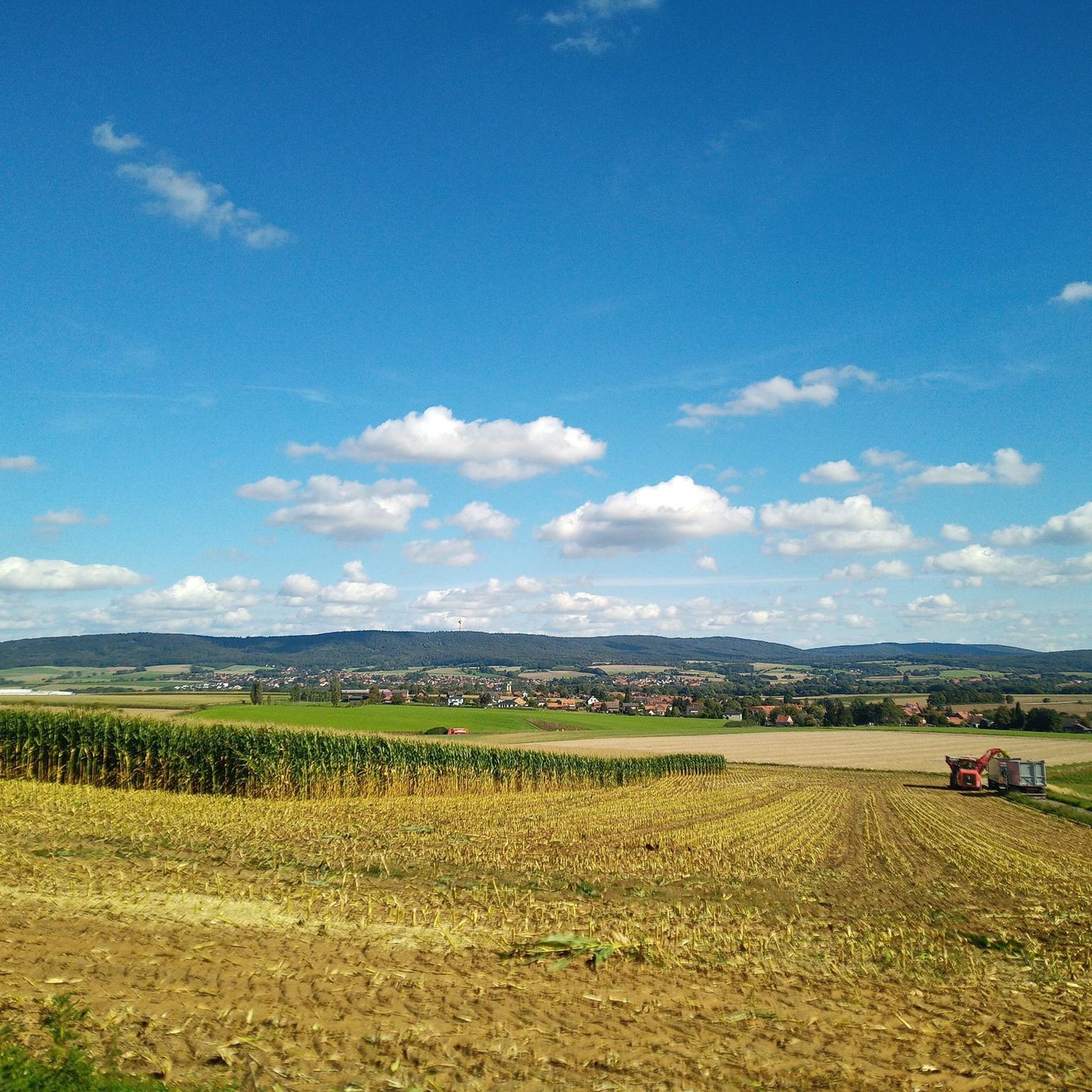
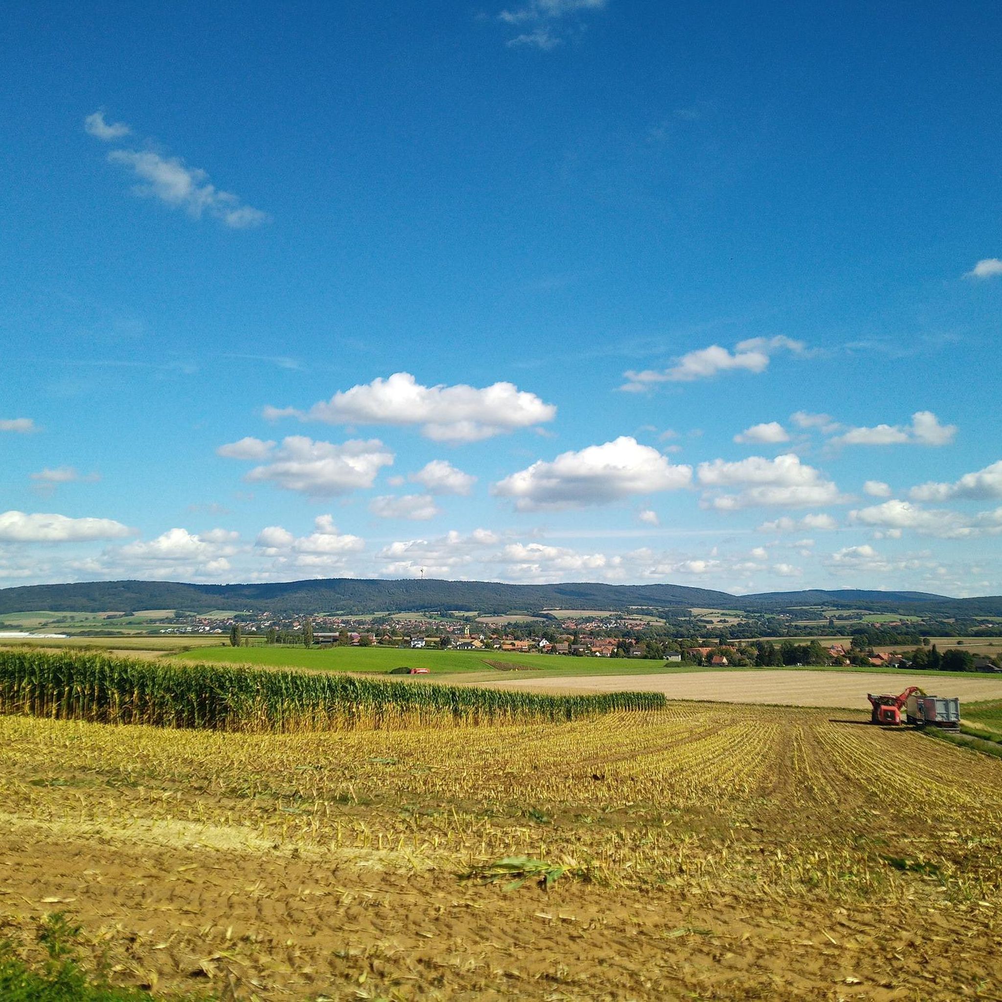
Nice view from above. One of the few advantages of clearing
0
0
Frequently Asked Questions
How many gravel bike trails are available around Pohle?
There are over 50 gravel bike trails available in the area around Pohle, offering a diverse range of routes through the Weserbergland region. These include options for various skill levels, from easy to difficult.
What kind of terrain can I expect on gravel bike trails near Pohle?
The gravel bike trails around Pohle, situated in the Weserbergland region, feature rolling hills, dense forests, and elevated sections. You'll encounter a mix of challenging climbs and varied surfaces, providing diverse riding experiences with panoramic views.
Are there any easy gravel bike trails suitable for beginners around Pohle?
Yes, while many routes are challenging, there are 3 easy gravel bike trails available around Pohle. These routes offer a gentler introduction to gravel biking in the Weserbergland region.
What are some of the more challenging gravel routes near Pohle?
For experienced riders seeking a challenge, there are 24 difficult gravel routes. One such route is the Nienstedter Pass – View of the Calenberger Land loop from Bad Nenndorf, which covers 36.1 miles (58.1 km) with significant elevation gain.
What do other gravel bikers say about the trails around Pohle?
The gravel biking routes around Pohle are highly rated by the komoot community, with an average score of 4.7 stars from over 60 reviews. Riders often praise the varied terrain, panoramic viewpoints, and the network of forest paths.
Are there any notable landmarks or viewpoints along the gravel routes?
Yes, the region offers several interesting sights. For example, the View from Hohenstein – Süntel Tower loop from Schillat-Höhle provides stunning vistas. Additionally, you can find highlights like the Hohenstein Cliffs and Scenic Viewpoint and the Totental (Valley of the Dead) in nearby gorges.
Can I find any interesting natural features like caves or gorges near the gravel trails?
Absolutely. The area around Pohle is known for its natural beauty, including several gorges and caves. You can explore highlights such as the Schillat Cave or the Bullerbach Valley, which are accessible from various points in the region.
Are there any circular gravel routes available?
Many of the gravel routes around Pohle are designed as loops. An example is the Nienstedter Pass – Wennigsen Water Wheels loop from Bantorf, a difficult 31.9-mile (51.4 km) path that includes a mountain pass and passes by the Wennigsen Water Wheels.
What is the best time of year for gravel biking in the Weserbergland region?
The Weserbergland region, where Pohle is located, is generally pleasant for gravel biking from spring through autumn. The dense forests provide shade in summer, and the rolling hills offer beautiful scenery during spring blooms and autumn foliage. Winter conditions can vary, with potential for snow or ice on higher elevations and forest paths.
Are there any routes that pass by unique local attractions?
Yes, some routes offer unique local attractions. For instance, the Bad Nenndorf Spa Park – Belvedere Tower (Strutzberg Tower) loop from Bad Nenndorf takes you through the spa park and past the Belvedere Tower, offering a blend of nature and local points of interest.
Where can I find parking for gravel trails near Pohle?
Parking is typically available at the starting points of many routes in the towns and villages surrounding Pohle, such as Bad Nenndorf or Bantorf. Specific parking information can often be found in the detailed route descriptions on komoot.
How accessible are the gravel routes by public transport?
Access to the gravel routes around Pohle by public transport depends on the specific starting point. Towns like Bad Nenndorf, which serve as a starting point for routes like the Nienstedter Pass – View of the Calenberger Land loop, often have train or bus connections. It's advisable to check local public transport schedules for your chosen starting location.
Most popular attractions around Pohle

Get inspired with the komoot mobile app


Explore more
Browse the best Gravel rides in other regions.
