The best gravel rides around Hoyershausen
4.5
(14)
47
riders
39
rides
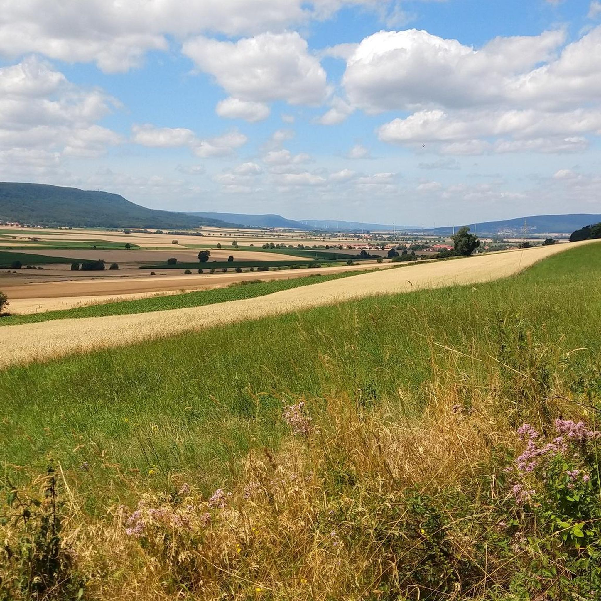
Gravel biking around Hoyershausen offers a diverse landscape characterized by rolling hills, river valleys, and forested uplands. The region features varied terrain suitable for gravel bikes, including paths along the Leine River and routes through the Weser Uplands. Elevations range from gentle inclines in river plains to more challenging climbs in areas like the Ith and Thüster Berg. This provides a mix of surfaces from compacted gravel to forest tracks.
Best gravel bike trails around Hoyershausen
- The most popular gravel…
Last updated: October 6, 2026
4.0
(1)
7
riders
Hard gravel ride. Very good fitness required. You may need to push your bike for some segments of this route.
5.0
(1)
10
riders
Hard gravel ride. Very good fitness required. You may need to push your bike for some segments of this route.

4.1
(7)
14
riders
Moderate gravel ride. Good fitness required. Mostly paved surfaces. Suitable for all skill levels.
4
riders
23.1km
01:38
330m
330m
Moderate gravel ride. Good fitness required. Mostly paved surfaces. Suitable for all skill levels.
4.7
(3)
4
riders
30.1km
02:20
480m
480m
Hard gravel ride. Very good fitness required. Mostly paved surfaces. Suitable for all skill levels.
Get access to more routes and recommendations from other explorers.
Already have an account?
Our route recommendations are based on thousands of hikes, rides, and runs completed by other people on komoot.
Start today with a free account
Your next adventure awaits.
Other adventures around Hoyershausen

Tips from the Community


Attention: Here the bike has to be pushed over a staircase with a steep ramp at both bridgeheads.
0
0

The Roter Fuchs hiking parking lot is located on the pass at the road between Holzen and Grünenplan. From here, many destinations in the Hils can be reached.
6
0
The monument to Johann Georg von Langen is located at a hiking parking lot. From here, the Hilskammweg trail is reached.
7
0

Very nice trail for gravel biking
0
0

Following the construction of observation towers on the Deister and Süntel mountain ranges, Wilhelm Falke, a quarry owner from Hanover, planned a similar structure on the Lauensteiner Kopf, the highest point of the Ith (439 m). A first wooden tower, the "Wilhelm Tower," was inaugurated on May 24, 1885. The new stone Ith Tower was built from dolomite by Fr. Schucht from Bisperode and opened on May 16, 1912. The tower is 13.80 m high, and the staircase has 63 steps. The tower is open to visitors at all times, but there is no staff on site.
1
0
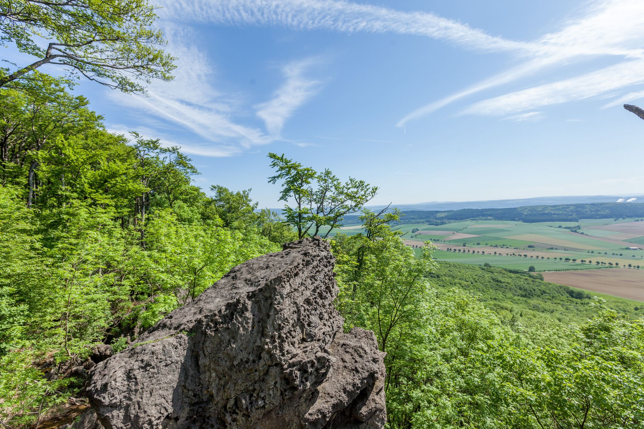
From the Lönsturm tower on the Kanstein hill in Thüster Berg, a sweeping view opens up across the Weser Uplands. Dense forests, rolling hills, and small villages characterize the panorama. On a clear day, the view extends as far as the Leine Uplands. The tranquil heights invite you to pause and fully appreciate the vastness of nature.
1
0
Frequently Asked Questions
How many gravel bike trails are available around Hoyershausen?
There are over 50 gravel bike routes to explore around Hoyershausen. These trails offer a diverse landscape of rolling hills, river valleys, and forested uplands, catering to various skill levels.
What is the general difficulty level of gravel biking in Hoyershausen?
The gravel trails around Hoyershausen offer a mix of difficulties. You'll find 9 easy routes, 25 moderate routes, and 16 more challenging options. This variety ensures there's something for every rider, from gentle riverside paths to demanding climbs in areas like the Ith and Thüster Berg.
Are there any beginner-friendly gravel bike trails in Hoyershausen?
Yes, Hoyershausen offers 9 easy gravel bike routes, perfect for beginners or those looking for a relaxed ride. These trails often follow river plains, providing gentler inclines and scenic views.
What are some notable landmarks or attractions I can see along the gravel bike trails?
Many routes offer views of interesting landmarks. For instance, the View from the Ith Tower – Löns Tower on Thüster Berg loop provides vistas from prominent local towers like the Löns Tower on Thüster Berg. You might also encounter the Wilhelm Raabe Tower or the unique Lippold's Cave on other routes.
Are there any circular gravel bike routes around Hoyershausen?
Yes, many of the gravel routes in the region are designed as loops. For example, the Leine River near Brüggen – Laakedamm Cycle Path loop takes you through riverine landscapes, while the Laakedamm Cycle Path – Innerste Cycle Path loop offers a longer circular experience.
What do other gravel bikers say about the trails in Hoyershausen?
The gravel biking routes in Hoyershausen are highly rated by the komoot community, with an average score of 4.7 stars from over 14 reviews. Riders often praise the diverse terrain, from quiet forest tracks to expansive views across the Weser Uplands.
What is the best time of year for gravel biking in Hoyershausen?
The region's varied landscape, with its river valleys and forested uplands, makes it enjoyable for gravel biking throughout much of the year. Spring and autumn offer pleasant temperatures and vibrant scenery, while summer provides longer daylight hours. Winter rides are possible, but conditions may vary, especially on higher elevations.
Are there any gravel routes that offer expansive views?
Absolutely. The Springe Hunting Lodge – View of the Weser Uplands loop is a popular choice specifically for its expansive views across the Weser Uplands, offering breathtaking panoramas of the surrounding countryside.
Can I find routes that follow rivers or water bodies?
Yes, the region is characterized by river valleys. The Leine River near Brüggen – Laakedamm Cycle Path loop is an excellent example, leading you through scenic riverine landscapes along the Leine River.
Are there any longer gravel bike routes for experienced riders?
For experienced riders seeking a longer challenge, the Laakedamm Cycle Path – Innerste Cycle Path loop from Banteln covers approximately 67.7 km (42 miles) with significant elevation gain, offering a substantial ride through varied terrain.
What kind of terrain can I expect on the gravel trails in Hoyershausen?
You can expect a mix of surfaces, from compacted gravel paths along river plains to more rugged forest tracks in the forested uplands and hills. The terrain varies from gentle inclines to more challenging climbs, especially in areas like the Ith and Thüster Berg.
Most popular routes around Hoyershausen
Most popular attractions around Hoyershausen

Get inspired with the komoot mobile app


Explore more
Browse the best Gravel rides in other regions.
