The best gravel rides around Thurnau
4.7
(31)
143
riders
47
rides
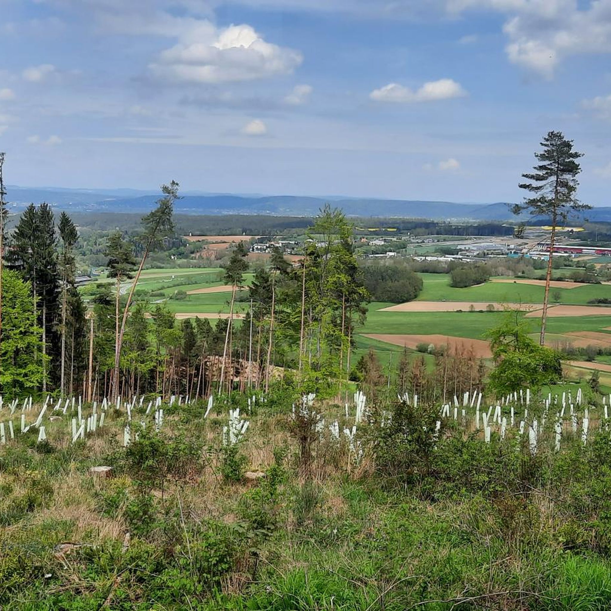
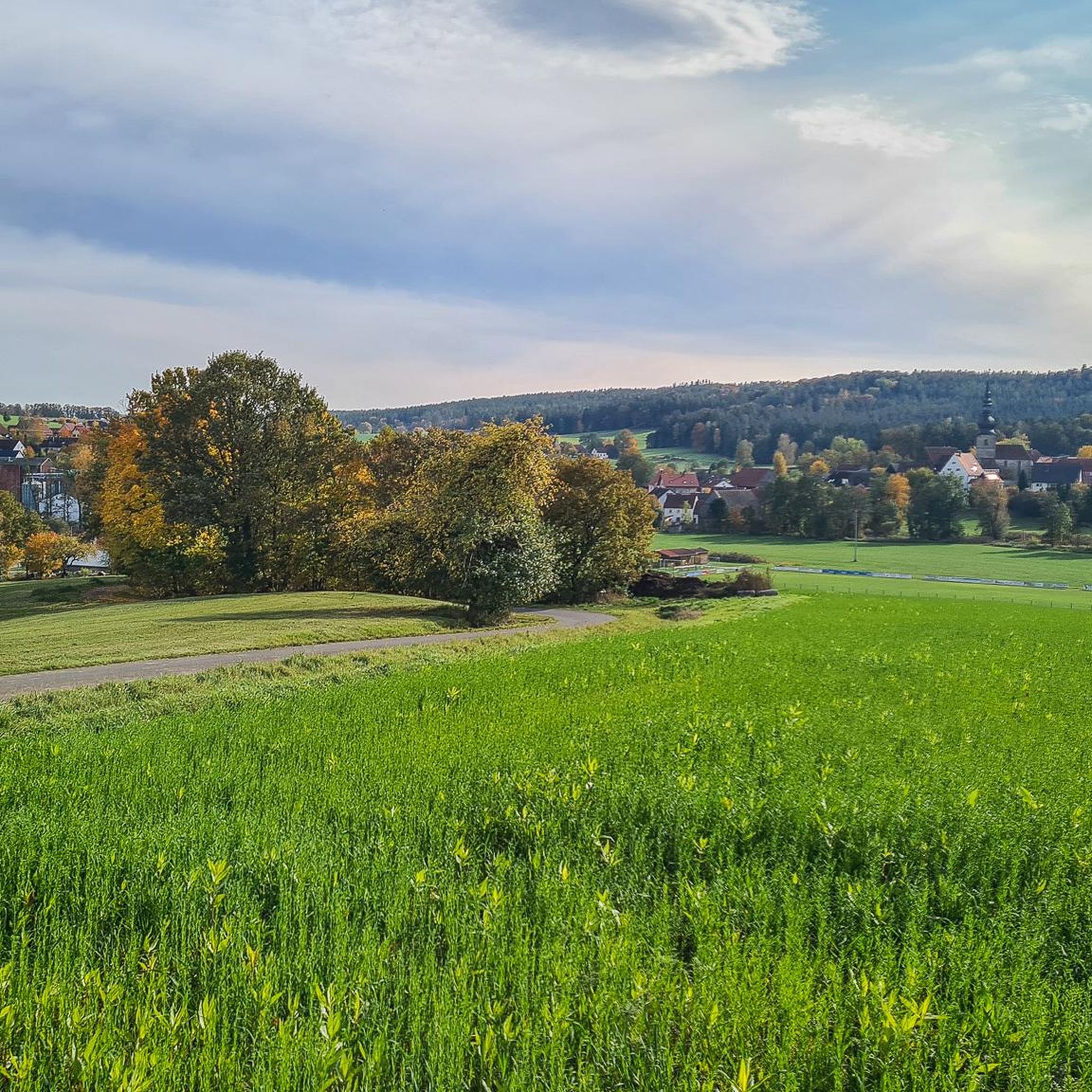
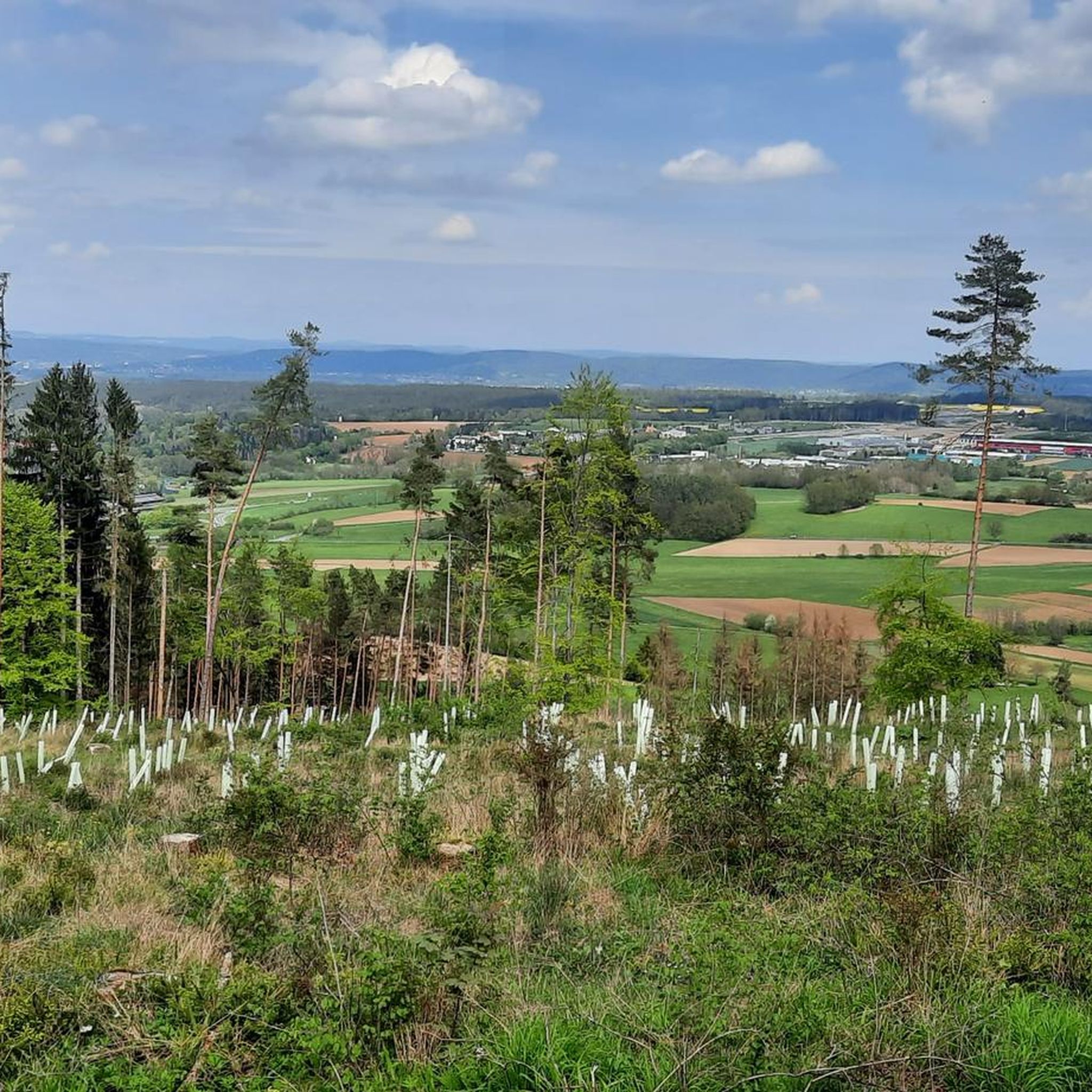
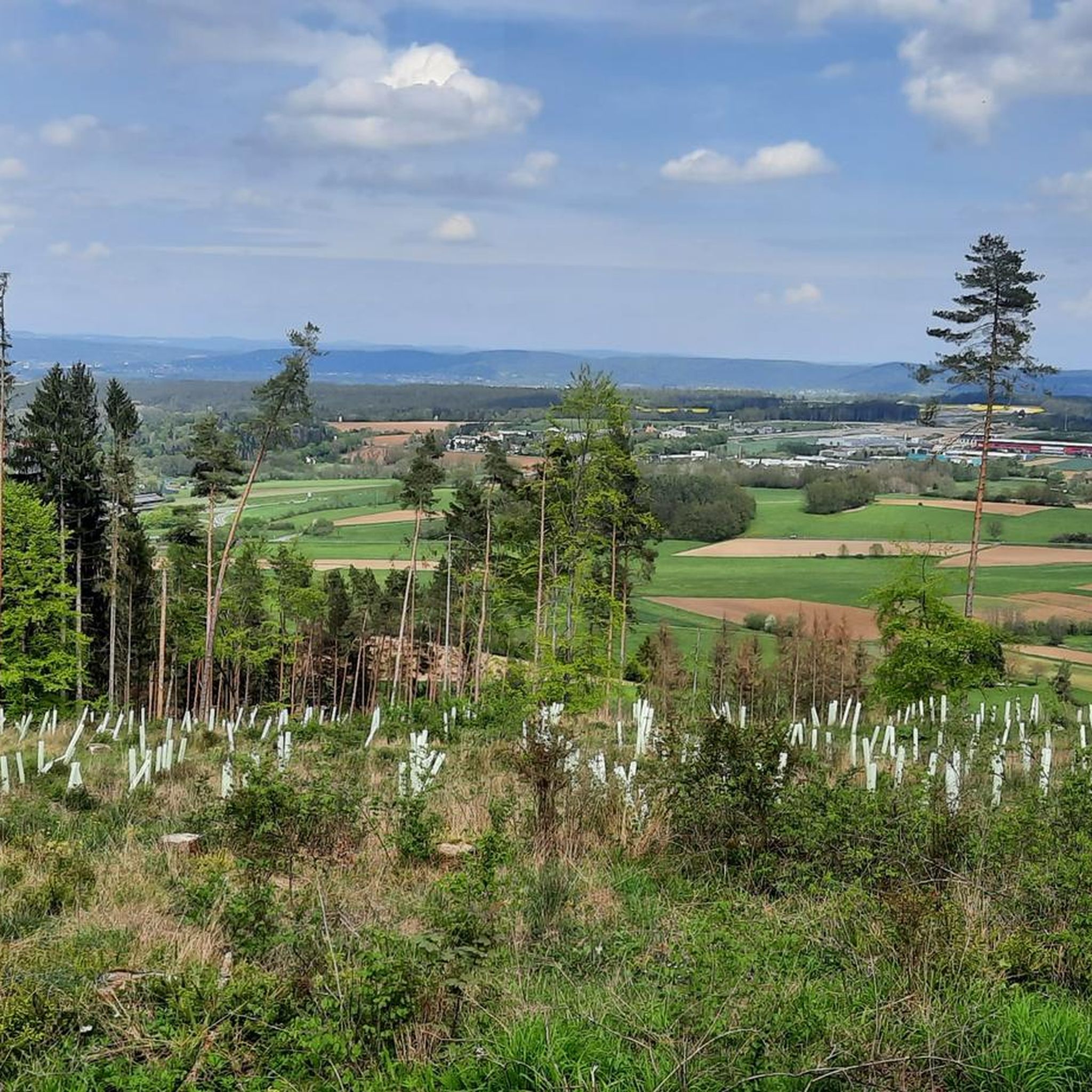
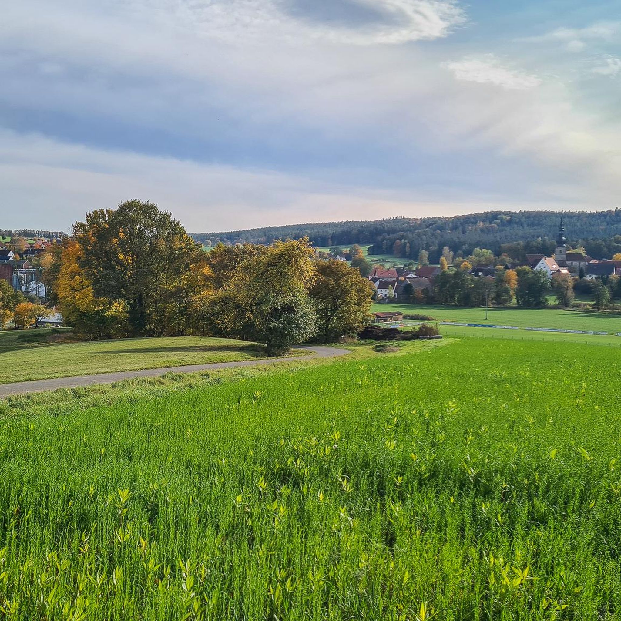
Gravel biking around Thurnau features routes through varied landscapes, including river valleys, dense woodlands, and open countryside. The region is characterized by rolling green hills and its location on the edge of the Franconian Switzerland-Veldenstein Forest Nature Park. Trails often pass through historic towns and offer views of rock formations and castles, providing a mix of surfaces suitable for gravel bikes.
Best gravel bike trails around Thurnau
- The most popular gravel bike trail is View of Taschnerfelsen – Aufseß Castle…
Last updated: October 6, 2026
4.8
(4)
29
riders
43.2km
02:37
360m
360m
Moderate gravel ride. Good fitness required. Mostly paved surfaces. Suitable for all skill levels.
4.5
(4)
15
riders
28.8km
02:04
320m
320m
Moderate gravel ride. Good fitness required. Mostly paved surfaces. Suitable for all skill levels.

4.4
(5)
20
riders
46.2km
02:47
430m
430m
Moderate gravel ride. Good fitness required. Mostly paved surfaces. Suitable for all skill levels.
11
riders
29.2km
01:48
280m
280m
Moderate gravel ride. Good fitness required. Mostly paved surfaces. Suitable for all skill levels.
4.0
(3)
7
riders
24.1km
01:42
330m
330m
Moderate gravel ride. Good fitness required. Mostly paved surfaces. Suitable for all skill levels.
Get access to more routes and recommendations from other explorers.
Already have an account?
Our route recommendations are based on thousands of hikes, rides, and runs completed by other people on komoot.
Start today with a free account
Your next adventure awaits.
Tips from the Community

Directly on the edge of the forest in Ebersbach (municipality of Ködnitz). Known for its particularly clear, refreshing water for water treading. A popular stop for cooling off and relaxing, e.g. for tired feet after sports.
2
0

The Spitzeichener Tower stands on the approximately 528-meter-high "Rangen" between Kulmbach and Trebgast. The construction of this stone tower with a wooden roof was initiated by Forestry Director Eduard Schindhelm. It was erected in 1927 by the Kulmbach Beautification Association. Compared to other observation towers, the Spitzeichener Tower is rather low, at about ten meters. However, its location offers a wide view because it stands on an almost treeless plateau.
16
0


Beautiful old well in the center of the market square with the inscription: Errichtet von Staat & Stadt
10
0
The white tower belongs to the old town tour and is part of the older city fortifications. It was a debtors' prison until the 19th century.
9
1

The Rote Main is the longer of the two headwaters of the Main river and significantly shapes the cityscape of Bayreuth. The river owes its name to the clay-rich soils of its catchment area. Especially after rainfall, reddish clay particles are washed into the water, giving it a characteristic reddish-brown color. It originates in the Lindenhardter Forst in the Franconian Switzerland, about 10 kilometers south of Bayreuth. At around 72 to 73 kilometers, it is significantly longer than the Weiße Main. Near Kulmbach (Schloss Steinenhausen), it merges with the Weiße Main to form the actual Main.
3
0

The cycle path between Hollfeld and Stechendorf is officially known as the Franconian Switzerland High Trail. The path follows the former railway line between Bayreuth and Hollfeld, which was closed in 1974. Thanks to the use of the old railway line, the route is largely flat and gently sloping. From Hollfeld, the path leads along the Wiesent Valley towards Stechendorf and on to Bayreuth. It is often also referred to as a leisure cycle path or a railway line path.
2
0
Frequently Asked Questions
What kind of terrain can I expect on gravel bike trails around Thurnau?
Gravel biking around Thurnau offers a diverse landscape, including river valleys, dense woodlands, and open countryside. You'll encounter rolling hills and routes near water bodies like the Wiesent and Aufseß rivers. Trails often pass through historic towns and provide views of rock formations and castles. The surfaces vary from compacted paths to unpaved roads, all suitable for gravel bikes.
How many gravel bike trails are available in Thurnau?
There are over 85 gravel bike trails around Thurnau, offering a wide range of options for different skill levels and preferences.
What are the difficulty levels of gravel bike trails in Thurnau?
The trails in Thurnau cater to various abilities. You'll find 4 easy routes, 31 moderate routes, and 50 difficult routes, ensuring there's a challenge for every gravel biker.
Are there easy gravel bike trails suitable for beginners in Thurnau?
Yes, Thurnau offers 4 easy gravel bike routes perfect for beginners or those looking for a more relaxed ride. These trails typically feature less elevation gain and smoother surfaces.
Are there challenging gravel bike routes for experienced riders?
Absolutely. For experienced riders seeking a challenge, Thurnau has 50 difficult gravel bike routes. These often include significant elevation changes and more technical terrain, such as the Nankendorf Mill – Wiesent Riverside Trail loop from Heinersreuth, which covers 41.5 miles with over 600 meters of ascent.
Are there any circular gravel bike routes in Thurnau?
Many of the gravel bike routes in Thurnau are designed as loops, allowing you to start and finish at the same point. Examples include the View of Taschnerfelsen – Aufseß Castle Church loop from Obernsees and the Aufseßtal Valley – Kuchenmühle in the Aufseß Valley loop from Hollfeld.
What interesting sights or landmarks can I see along the gravel bike trails in Thurnau?
Many routes pass by notable attractions. You might encounter natural monuments like the Sanspareil Rock Garden, historic structures such as Zwernitz Castle, or scenic viewpoints like the Neubürg Plateau and Sculpture Park. The Weismain historic town centre – Schwarzacher Steg loop from Kulmbach, for instance, takes you past the Schwarzacher Steg Covered Bridge.
What do other gravel bikers enjoy most about gravel biking in Thurnau?
The area is highly rated by the komoot community, with an average score of 4.7 stars from over 90 reviews. Reviewers often praise the varied terrain, the scenic river valleys, and the mix of woodlands and open countryside that define the region's gravel routes.
Are there any long-distance gravel bike routes around Thurnau?
Yes, some routes offer longer distances for extended rides. For example, the Bischofsgrün Market Square – Weißmain Spring loop from Kulmbach is a challenging 56.8-mile (91.4 km) route with nearly 1000 meters of elevation gain, ideal for a full day out.
What is the best season for gravel biking in Thurnau?
The spring and autumn months generally offer the most pleasant conditions for gravel biking in Thurnau, with milder temperatures and beautiful scenery. Summer can also be enjoyable, especially on routes that offer shade through woodlands. Always check local weather forecasts before heading out.
Are the gravel trails in Thurnau suitable for wet weather?
While some compacted paths may hold up well, unpaved roads and forest tracks can become muddy and slippery after heavy rain. It's advisable to check recent weather conditions and choose routes with more stable surfaces if wet weather is expected, or be prepared for challenging conditions.
Can I find routes that are less crowded in Thurnau?
While popular routes can see more traffic, the extensive network of over 85 trails means you can often find quieter paths, especially on weekdays or by exploring some of the less-trafficked forest roads and agricultural tracks that connect the main valleys.
Most popular attractions around Thurnau

Get inspired with the komoot mobile app


Explore more
Browse the best Gravel rides in other regions.
