The best gravel rides around Burkhardtsdorf
4.6
(119)
573
riders
95
rides
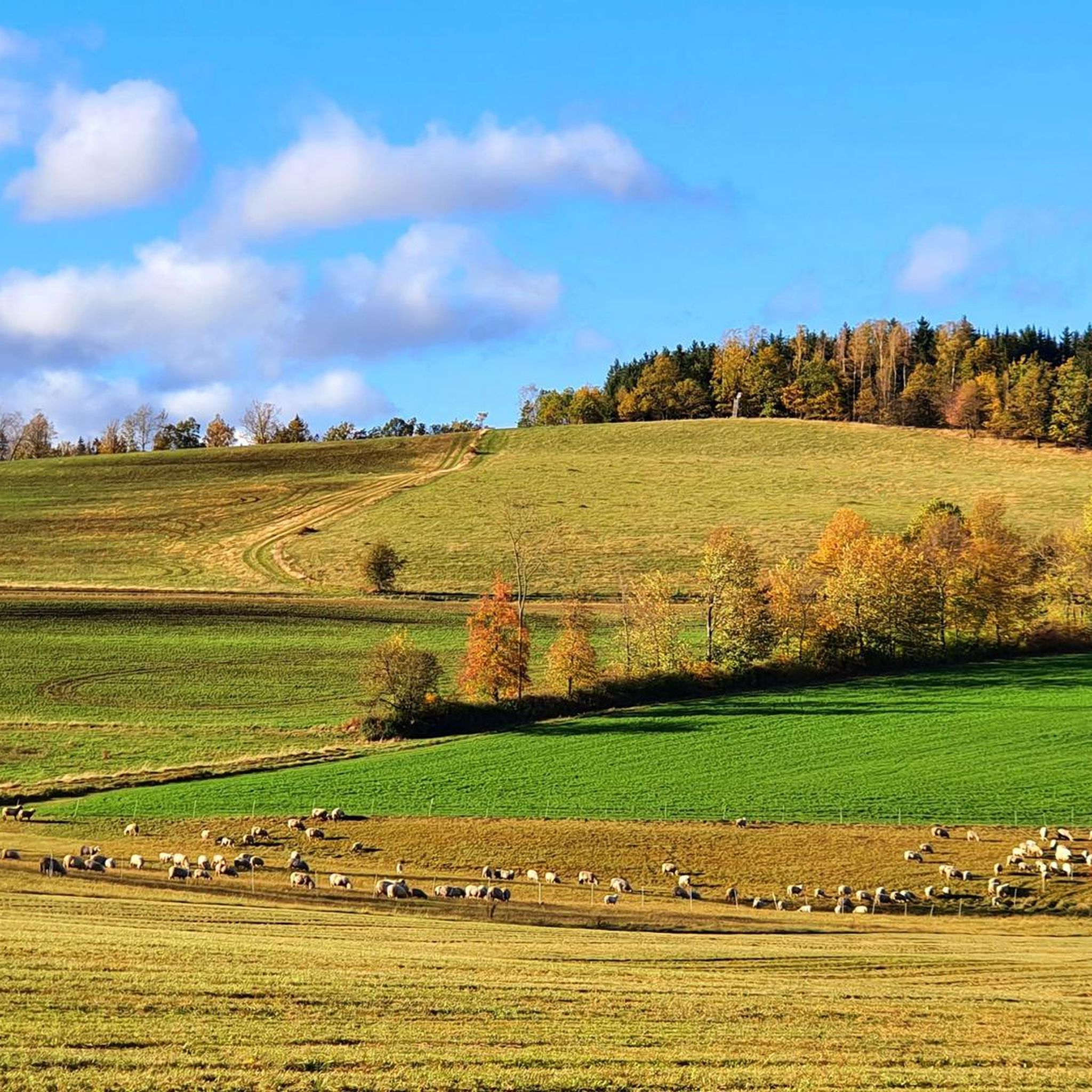
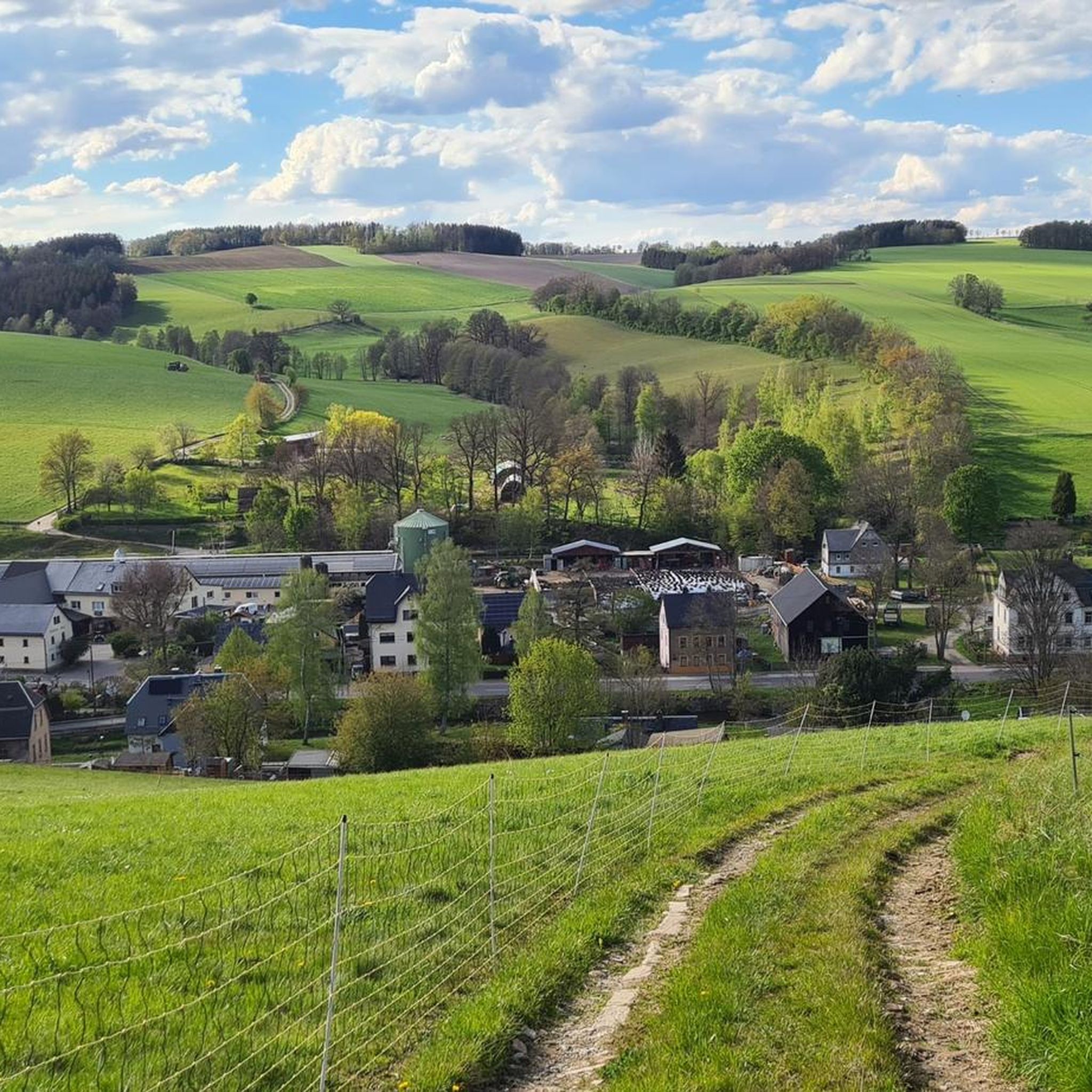
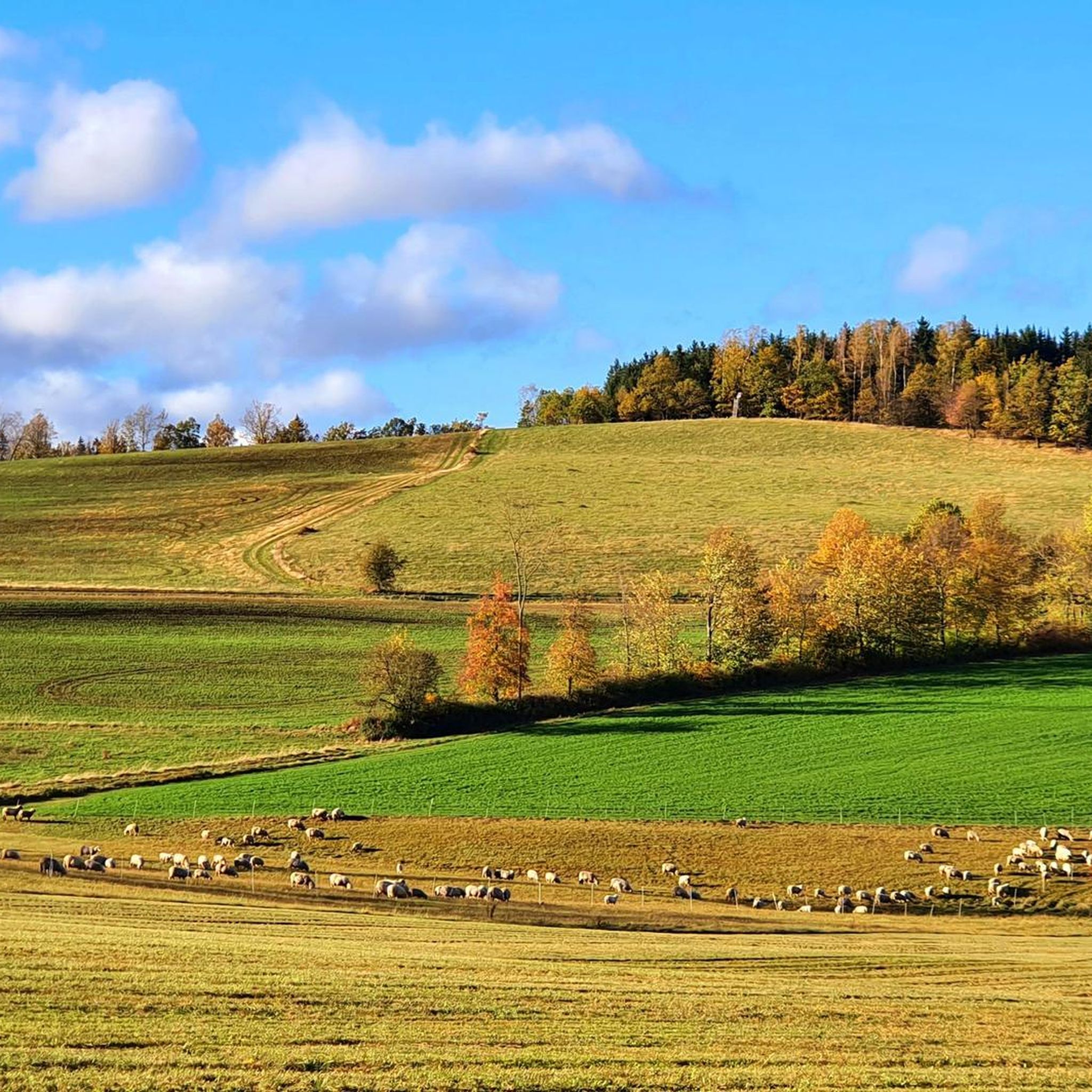
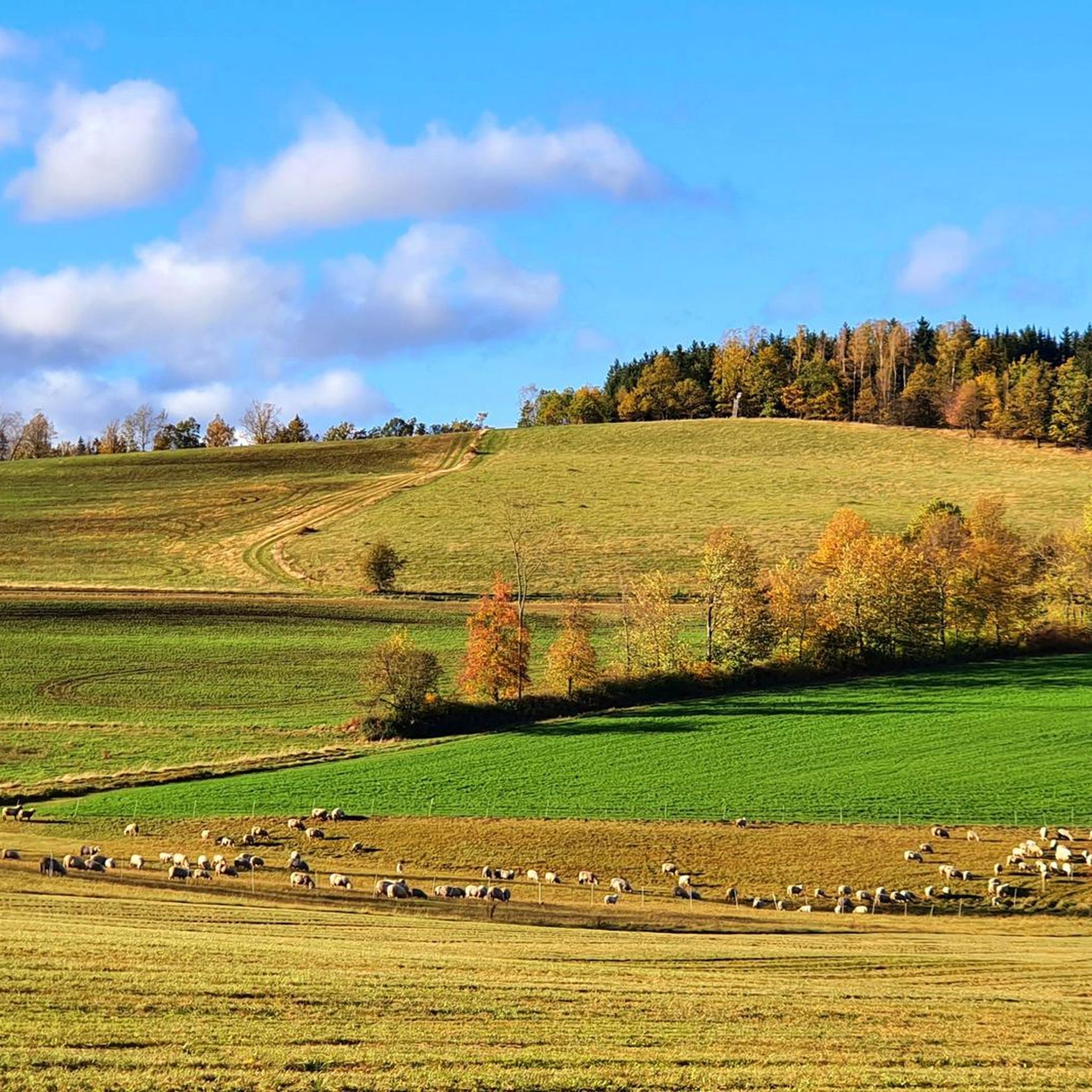
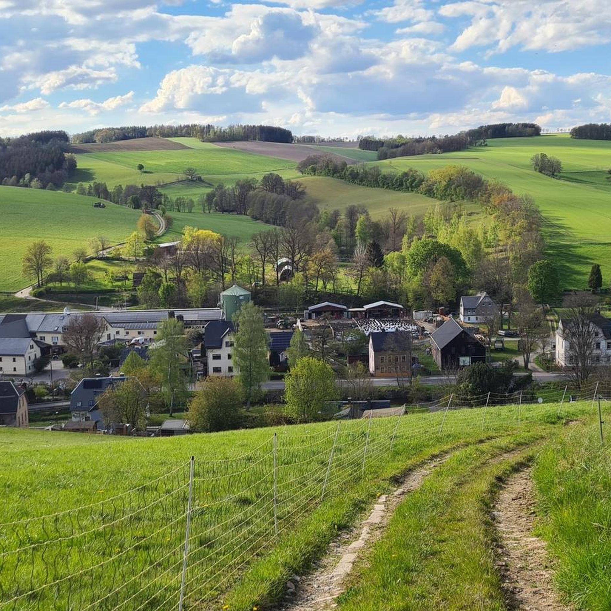
Gravel biking around Burkhardtsdorf is characterized by its location at the foot of the Ore Mountains, offering a diverse topography of rolling hills and green forests. The region features varied terrain, including paths through the Zwönitz Valley and around pristine lakes. This landscape provides a mix of ascents, descents, and diverse surfaces suitable for gravel cycling. The area's extensive network of paths caters to various riding preferences.
Best gravel bike trails around Burkhardtsdorf
- The most popular gravel bike trail is…
Last updated: October 6, 2026
4.3
(3)
30
riders
89.5km
05:20
900m
900m
Hard gravel ride. Very good fitness required. Mostly paved surfaces. Suitable for all skill levels.
4.7
(3)
15
riders
41.7km
02:27
420m
420m
Moderate gravel ride. Good fitness required. Mostly paved surfaces. Suitable for all skill levels.

5.0
(2)
8
riders
44.1km
03:07
810m
810m
Hard gravel ride. Very good fitness required. Mostly paved surfaces. Suitable for all skill levels.
5.0
(1)
4
riders
64.7km
04:21
1,260m
1,260m
Hard gravel ride. Very good fitness required. Mostly paved surfaces. Suitable for all skill levels.
5.0
(2)
12
riders
36.0km
02:13
380m
380m
Moderate gravel ride. Good fitness required. Mostly paved surfaces. Suitable for all skill levels.
Get access to more routes and recommendations from other explorers.
Already have an account?
Our route recommendations are based on thousands of hikes, rides, and runs completed by other people on komoot.
Start today with a free account
Your next adventure awaits.

Other adventures around Burkhardtsdorf

Tips from the Community

The upper course of the Flöha and its most important tributaries (such as the Schwarzen Pockau) cross the extensive high moors of the Ore Mountains ridge. Rainwater collects in these acidic, oxygen-poor peat layers.
1
0

Super view and loungers for relaxing
0
0

Very nice tour and lots of great views.
0
0

Just briefly enjoy the peace and quiet
0
1


Perfect starting point for a hike around the Rochlitz mountain.
0
0
The Iron Trail is a high-altitude trail in the Ore Mountains, whose historical route follows the northern edge of the Ore Mountains. According to local history, it was used as early as the Middle Ages for transporting iron ore from the Schneeberg area. The route, still marked today, runs from Katzenstein near Affalter and through the Streitwald forest to Tabakstanne, continuing through the Bürgerwald forest, past the Schwarzes Kreuz memorial, to Harthauer Berg, located south of Chemnitz on Federal Highway 95. Today, the Iron Trail is a popular route for hikers and cyclists, connecting the area south of Chemnitz with the hiking trails of the central Ore Mountains. Source: Wikipedia https://de.wikipedia.org/wiki/Eisenweg_(Erzgebirge)
0
0

Frequently Asked Questions
How many gravel bike trails are available around Burkhardtsdorf?
There are over 150 gravel bike routes mapped around Burkhardtsdorf, offering a wide variety of options for different skill levels and preferences. The komoot community has explored these trails extensively, with more than 800 gravel bikers using komoot to discover the region's diverse terrain.
What kind of terrain can I expect on gravel bike trails in the Burkhardtsdorf area?
Gravel biking around Burkhardtsdorf offers a diverse topography, characterized by rolling hills, lush green forests, and pristine lakes, as it's nestled at the foot of the Ore Mountains. You'll find a mix of ascents and descents, paths through the idyllic Zwönitz Valley, and varied surfaces suitable for gravel cycling.
Are there gravel routes suitable for beginners or families in Burkhardtsdorf?
Yes, the region offers routes for all levels. While many trails feature challenging ascents, there are also easier paths, particularly those that follow river valleys like the Zwönitz. For a moderate option, consider the Stollberg Reservoir – Old Brickyard Recreation Area loop from Kemtau, which is 26.2 miles (42.2 km) long and winds through natural settings.
What are some scenic gravel routes near Burkhardtsdorf with good views?
Many routes in the region offer scenic views, especially those that climb into the Ore Mountains. The Chemnitztal Cycle Path – View of the Göhren Viaduct loop from Klaffenbach Hp is a popular choice, offering expansive views along the Chemnitztal. The region's diverse topography, with rolling hills and forests, ensures picturesque landscapes on most rides.
What interesting landmarks or attractions can I see along gravel bike trails in the area?
The region around Burkhardtsdorf is rich in natural beauty and historical sites. You might encounter impressive castles like Klaffenbach Water Castle or Scharfenstein Castle. There are also beautiful lakes such as Schwemmteich, which can be incorporated into your rides. The Ore Mountains themselves offer panoramic vistas.
What do other gravel bikers enjoy most about gravel biking in Burkhardtsdorf?
The area is highly rated by the komoot community, with an average score of 4.6 stars from around 150 reviews. Reviewers often praise the varied terrain, which includes a mix of challenging mountain trails and pleasant valley paths, as well as the extensive network of paths that cater to different riding preferences.
Are there any challenging gravel bike routes for experienced riders?
Absolutely. Burkhardtsdorf's location at the foot of the Ore Mountains means there are plenty of routes with significant elevation gain. For example, the Flöha Valley – Neunzehnhain I Reservoir loop from Chemnitz-Erfenschlag Ost is a difficult 63.6 km (39.5 miles) route with over 1200 meters of elevation gain, offering a substantial challenge.
Are there any circular gravel bike routes around Burkhardtsdorf?
Yes, many of the gravel routes in the area are designed as loops, allowing you to start and end at the same point. A good example is the Eisenweg – Eisenweg Trail loop from Burkhardtsdorf Mitte, a 22.5 miles (36.2 km) trail that takes you through historical paths.
When is the best time of year for gravel biking in Burkhardtsdorf?
The region is generally excellent for cycling from spring through autumn. Popular times for cycling are typically May and July, when the weather is pleasant and the natural landscapes are at their most vibrant. The diverse terrain means you can find suitable routes even in shoulder seasons.
Are there any less crowded or 'hidden' gravel bike trails in the Burkhardtsdorf area?
While specific 'hidden' trails are best discovered through local exploration or by filtering for less popular routes on komoot, the extensive network of paths through forests and valleys means it's often possible to find quieter sections away from the main thoroughfares. Exploring the numerous trails traversing the green forests and lakes can lead to tranquil riding environments.
Can I find gravel bike trails that pass by cafes or places to stop for refreshments?
While specific routes with cafes aren't explicitly listed, the region's popularity for cycling and its charming Ore Mountain towns suggest that many routes will pass through or near villages where you can find opportunities for refreshments. Planning your route with komoot allows you to identify points of interest, including cafes, along your chosen path.
What are the options for parking when accessing gravel bike trails near Burkhardtsdorf?
While specific parking locations aren't detailed, many trailheads in popular cycling regions like Burkhardtsdorf typically offer designated parking areas, especially near town centers or recreational spots. When planning your route on komoot, you can often find information about starting points and potential parking options provided by other users.
Most popular routes around Burkhardtsdorf
Most popular attractions around Burkhardtsdorf

Get inspired with the komoot mobile app


Explore more
Browse the best Gravel rides in other regions.
