The 6 Most Amazing Peaks around Hundeshagen
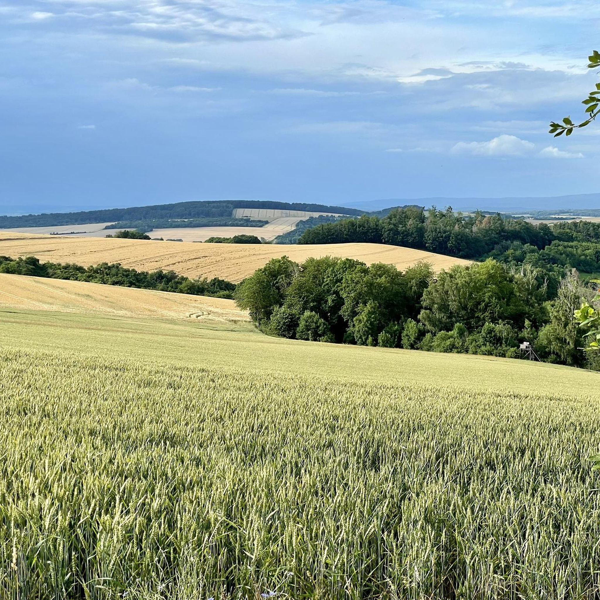
Best mountain peaks around Hundeshagen are characterized by the undulating terrain of the Eichsfeld district in Thuringia, Germany. The village itself is situated at an average elevation of approximately 270 to 271 meters above sea level. While not featuring prominent mountain ranges, the surrounding area includes elevated woodlands and hills, with elevations ranging up to around 455 meters. This geographical context offers opportunities for exploring natural landscapes and elevated viewpoints.
Best mountain peaks around Hundeshagen
- The most popular mountain peaks…
Last updated: August 30, 2026
Sonnenstein (Ohm Mountains)
Highlight • Viewpoint
Translated by Google •
Tip by

Hockelrain Summit and Shelter
Highlight • Summit
Translated by Google •
Tip by

Sign up now to discover places like this
Get recommendations on the best single tracks, peaks, & plenty of other exciting outdoor places.
Sign up for free
Leinefelde station
Highlight • Rest Area
Translated by Google •
Tip by

Kanstein Viewpoint
Highlight • Viewpoint
Translated by Google •
Tip by

Old Reifenstein Castle
Highlight • Historical Site
A good resting place, the overhanging trees, the view and the ditch or cut into the shell limestone are interesting.
Translated by Google •
Tip by
Sign up for free to discover even more peaks around Hundeshagen.
Sign up for free
Already have an account?
Start today with a free account
Your next adventure awaits.
Login or Signup
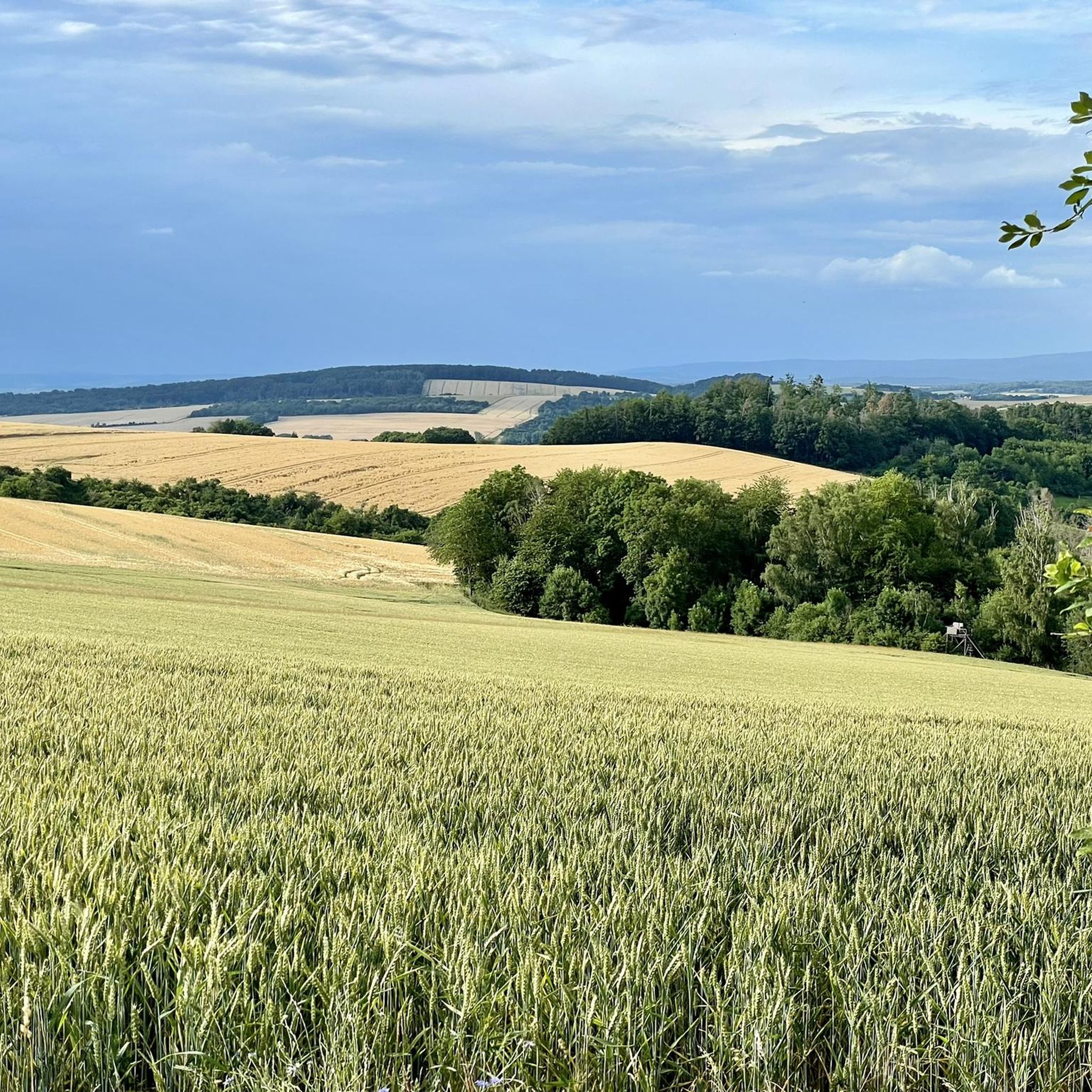
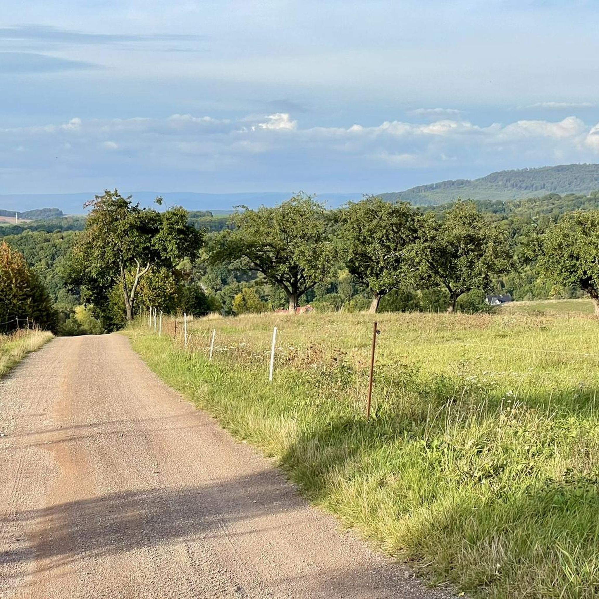
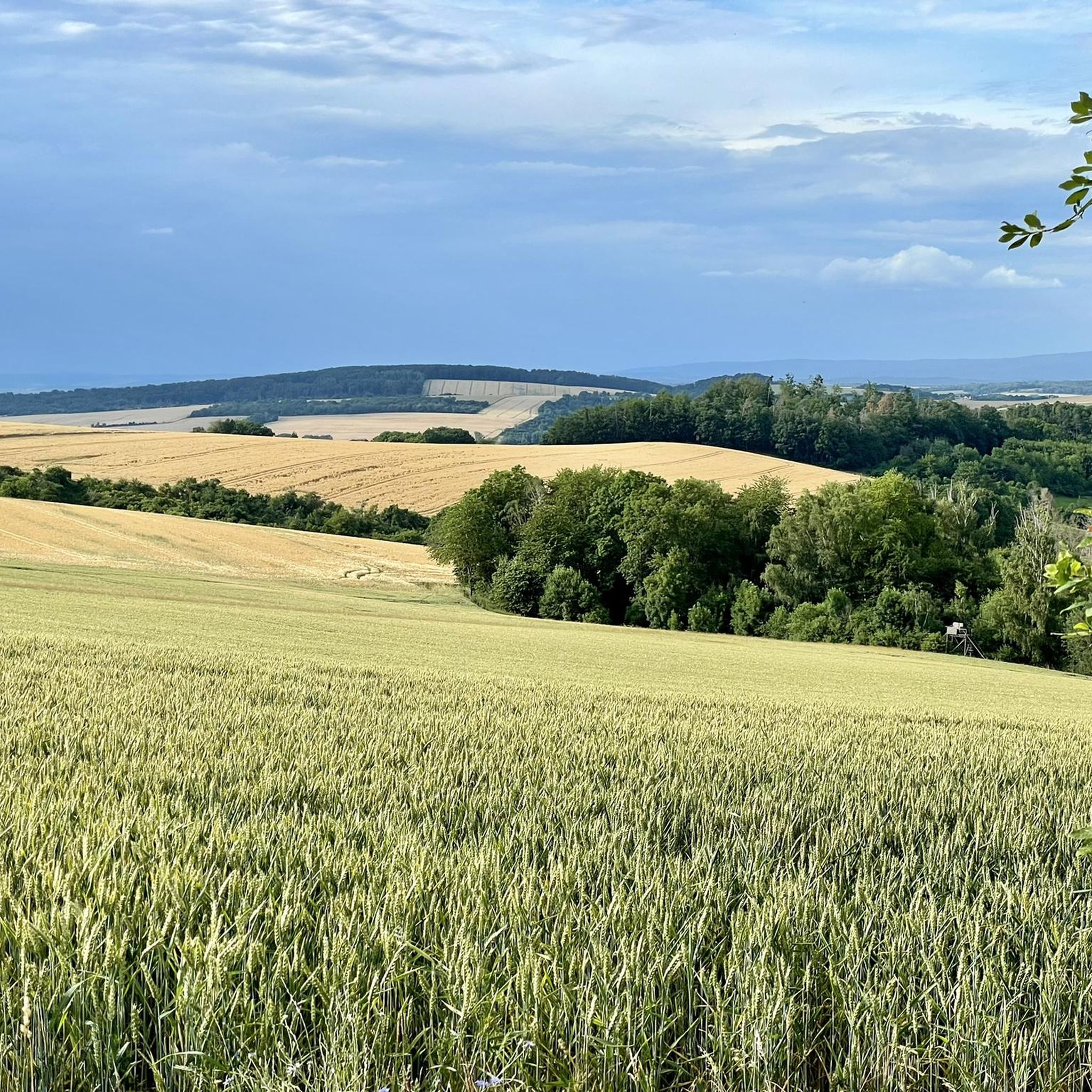
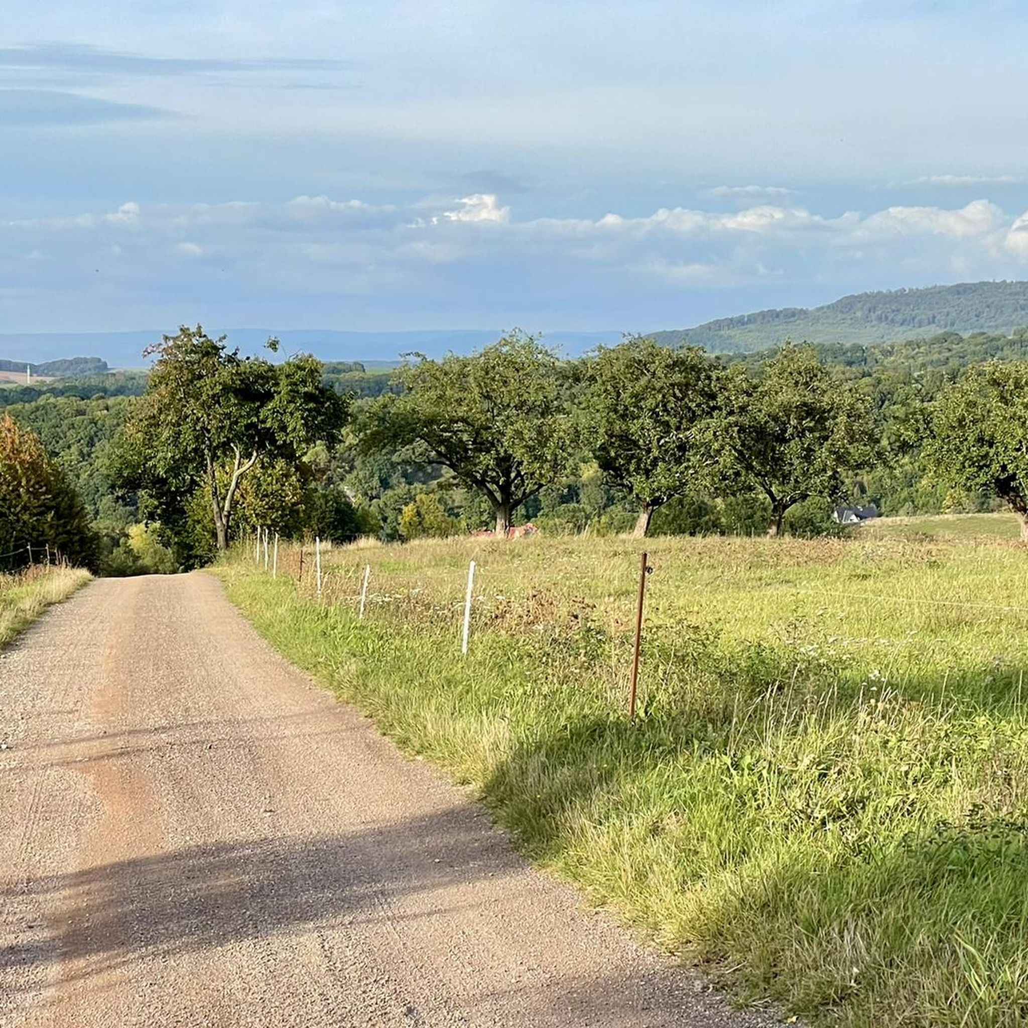
Tips from the Community

The first panel shows a map of the Eichsfeld, the second panel contains interesting facts about the Sonnenstein and the third panel provides information about the Eichsfeldlied and its author.
22
0
The Sonnenstein viewing platform was built in 2017 and is 14 meters long.
23
0

At 435.5 meters, the Kanstein is a highlight on the hiking trail from Worbis to Bodenstein. From here you have a beautiful view of the Zehnsberg and the Hahletal.
8
0

Unfortunately, nothing of the castle complex remains, but the moat is still clearly visible.
0
0
From the Kanstein you have a beautiful view of the Zehnsberg and the Hahletal.
6
0

Central meeting point for hikers, cyclists and walkers. The Muschelkalk cliff offers beautiful views and numerous places to sit.🫶🪨🤘
12
0
A worthwhile hiking destination, there is nothing left of the castle, but you can easily imagine how it stood here. A good resting place, the overhanging trees, the view and the ditch or cut into the shell limestone are interesting.
16
0

During the time I was at the train station there was construction work going on and the German railway signposts were misleading. You have to pass the station building on the right and not on the left.
1
0
Frequently Asked Questions
What are the most notable elevated points and viewpoints around Hundeshagen?
While Hundeshagen is characterized by undulating terrain rather than prominent mountain peaks, several elevated points offer excellent views. Among them are the Sonnenstein Viewpoint, which at 485.6 meters provides panoramic views of the western Harz and Kyffhaeuser Mountains, and the Kanstein Viewpoint, a striking shell limestone cliff at 435.5 meters with views of the Zehnsberg and Hahletal. The Hockelrain Summit and Shelter is the highest elevation in the Dün, offering a beautiful trail towards Dingelstädt.
What kind of natural features can I expect to see in the Hundeshagen area?
The region around Hundeshagen features an undulating landscape of hills and elevated woodlands typical of the Eichsfeld district. You'll find natural monuments like the Sonnenstein Viewpoint and the shell limestone cliff of Kanstein Viewpoint. These areas provide opportunities to enjoy local scenery and panoramic vistas.
Are there family-friendly elevated points or trails near Hundeshagen?
Yes, the Sonnenstein Viewpoint is noted as family-friendly. Its accessible nature and the magnificent views make it a suitable destination for families. The general terrain around Hundeshagen, with its hills and woodlands, also offers many easy to moderate trails for family walks.
What are the highest points in the Hundeshagen region?
The Birkenberg Summit, at 533 meters above sea level, is one of the highest vantage points in the district, offering a wonderful panoramic view over the Eichsfeld landscapes. The Sonnenstein Viewpoint reaches 485.6 meters, and the Kanstein Viewpoint is at 435.5 meters.
What outdoor activities can I do near the elevated points around Hundeshagen?
The area around Hundeshagen is excellent for various outdoor activities. You can enjoy hiking on trails like the 'View of Hundeshagen – View of Bodenstein Castle loop' or 'Birkenberg – Pomhof loop'. Cycling is also popular, with routes such as 'Honey from our own production loop'. For mountain biking enthusiasts, there are trails like 'Café de la Sable – St. Andreas Church Wingerode loop'. You can find more details on these activities in the hiking guide, cycling guide, and MTB trails guide for Hundeshagen.
Are there specific hiking trails that lead to these elevated viewpoints?
Yes, many hiking trails in the region incorporate these elevated points. For instance, the Kanstein Viewpoint is a highlight on the hiking trail from Worbis to Bodenstein. The Hockelrain Summit and Shelter is part of a beautiful trail in the city forest towards Dingelstädt. You can explore various routes in the Hiking around Hundeshagen guide.
What do visitors enjoy most about the elevated points around Hundeshagen?
Visitors particularly appreciate the magnificent panoramic views offered from spots like the Sonnenstein Viewpoint and Birkenberg Summit. The striking rock formations and numerous seating options at the Kanstein Viewpoint also make it a central meeting point for hikers and cyclists. The overall appeal lies in the natural beauty and the opportunities for scenic walks and rides.
How accessible is the Hundeshagen area by public transport for hikers?
The region is well-connected by rail. Leinefelde station serves as a hub with good connections to cities like Göttingen, Nordhausen, Erfurt, and Kassel. This makes it convenient to reach the starting points for many trails and elevated areas around Hundeshagen.
Are there any facilities or shelters available at the elevated points?
Yes, the Hockelrain Summit and Shelter provides a shelter for visitors. Additionally, the Kanstein Viewpoint offers many seating options, making it a comfortable spot for a break during your hike or ride.
What is the best time of year to visit Hundeshagen for hiking and enjoying the views?
While specific seasonal recommendations are not detailed, the undulating terrain and woodlands suggest that spring and autumn would offer pleasant temperatures and beautiful foliage. Summer provides longer daylight hours, while winter might offer unique snowy landscapes, though some trails could be more challenging.
What is the general elevation range in the Hundeshagen area?
The village of Hundeshagen itself sits at an average elevation of approximately 270 to 271 meters above sea level. The surrounding area, characterized by hills and elevated woodlands, has elevations ranging from about 211 meters up to around 455 meters, with some specific points like Birkenberg Summit reaching 533 meters.
Most popular routes around Hundeshagen
Most popular attractions around Hundeshagen

Get inspired with the komoot mobile app


Explore more
See even more amazing summits around Hundeshagen with these guides:
