The best waterfall hikes and walks in McCreary County
5.0
(17)
150
hikers
11
hikes
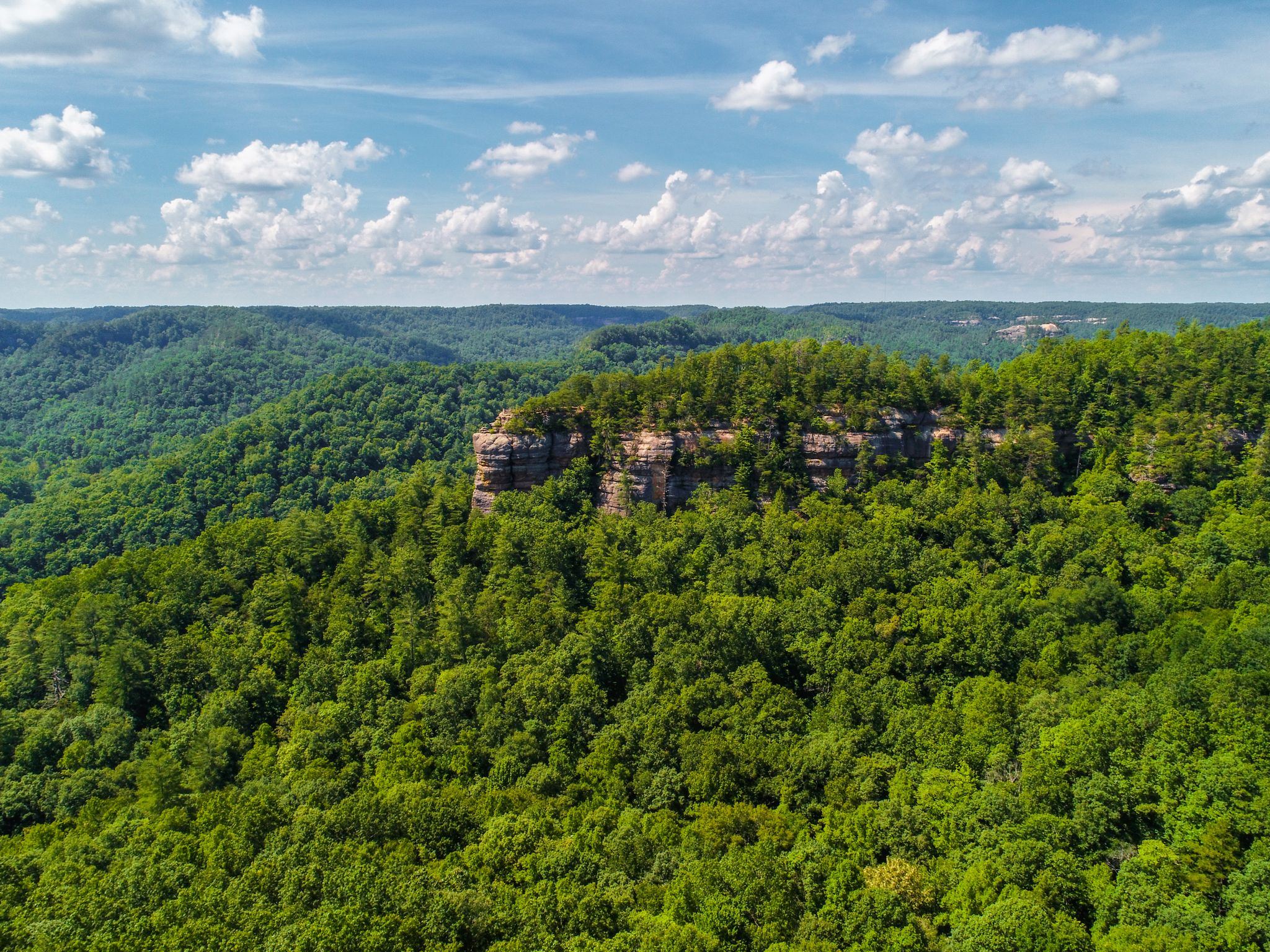
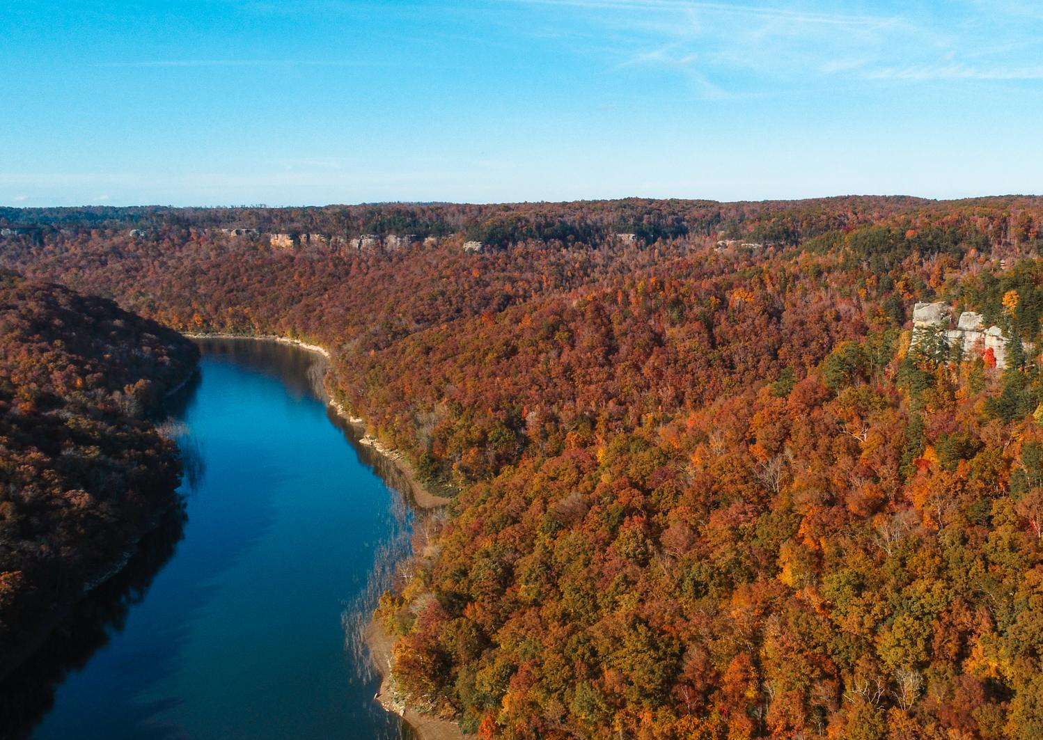
Waterfall hiking trails in McCreary County traverse a diverse and rugged landscape, characterized by the Cumberland Plateau's varied topography. The region features extensive forests, towering sandstone cliffs, and scenic gorges, particularly within the Big South Fork National River & Recreation Area. Meandering rivers like the Big South Fork add to the natural beauty, offering a rich environment for outdoor exploration.
Best waterfall hiking trails in McCreary County
- The most popular waterfall hiking route is Sheltowee Trace Trail to Dog Slaughter Falls, a 3.6 miles (5.9 km) trail that takes 1 hour 38 minutes to complete, leading to a notable waterfall.
- Another top favourite among local hikers is Lick Creek and Princess Falls Trail, a moderate 5.4 miles (8.6 km) path that explores the Lick Creek area and reaches the picturesque Princess Falls.
- Local hikers also love the Eagle Falls Trail, a 1.9 miles (3.0 km) trail leading through dense woodlands, often completed in about 1 hour 4 minutes, offering views of Eagle Falls.
- Hiking in McCreary County is defined by lush forests, dramatic sandstone cliffs, and scenic river gorges. The network offers options for different ability levels, from easy walks to more challenging routes.
- The routes in McCreary County are highly rated by the komoot community with an average score of 5.0 stars from more than 10 reviews. More than 100 hikers have used komoot to explore McCreary County's varied terrain.
Last updated: August 18, 2026
1
hikers
3.92km
01:03
20m
100m
Step into a world of natural wonder on the Van Hook Falls and Cane Creek Valley trail, where the air hums with the sound of falling water and ancient rock formations rise around you. This easy 2.4-mile (3.9 km) hike, taking about 1 hour and 3 minutes with only 71 feet (22 metres) of elevation gain, guides you through a lush, forested valley. You'll discover numerous smaller waterfalls and cascades along Cane Creek, culminating in the impressive 40-foot Van Hook Falls, dramatically set within a sandstone recess. It's a truly picturesque journey for all skill levels.
Planning your visit is straightforward, though timing is key to fully appreciate the area's beauty. The trail is best used from March to October, offering vibrant foliage and optimal water flow for the falls. Dogs are permitted on a leash, making it a great family-friendly outing. While specific parking information isn't detailed, arriving early is always a good strategy to ensure a spot and a peaceful experience on this popular route.
This trail is a standout in Kentucky's Daniel Boone National Forest, celebrated for its striking geological formations and abundant water features. It's a segment of the longer Sheltowee Trace National Recreational Trail, offering a taste of its rugged beauty. The Cane Creek Gorge section, with its dynamic waterways and rock formations, is particularly notable, often compared to more famous national parks. It's recognized as one of the best kid-friendly hikes in Kentucky, providing a rich experience for families and day hikers.
5.85km
01:38
90m
150m
Hike the moderate 3.6-mile Sheltowee Trace Trail to Dog Slaughter Falls, a beautiful waterfall in Daniel Boone National Forest.

Sign up for free
22.6km
06:10
320m
370m
The Sheltowee Trace NRT Section 27 "Moonbow" offers a rugged and immersive hiking experience along the Cumberland River, characterized by its singletrack path winding through dense forests and over majestic hills. You'll encounter dramatic cliffs, bluffs, and numerous small stream crossings, with some sections featuring stone steps built by the Civilian Conservation Corps. The terrain is consistently challenging, making it ideal for hikers who appreciate a strenuous workout amidst captivating natural beauty.
Planning your trip requires preparation for this difficult route, which covers 14.0 miles (22.6 km) with 1059 feet (323 metres) of elevation gain, typically taking around 6 hours and 9 minutes. Parking is usually straightforward, and the trail sees lighter traffic compared to other popular routes. Remember that there are few easy exit points once you're on the trail, so assess your stamina before you set out. Dogs are welcome, provided they remain on a leash.
This section is most famous for its proximity to Cumberland Falls, often called the "Niagara of the South," a truly impressive waterfall. It's one of the only places in the Western Hemisphere where you can consistently observe a "moonbow," a lunar rainbow visible during a full moon. Another significant landmark along the way is Dog Slaughter Falls, adding to the trail's unique natural features and making it a standout choice for those seeking a memorable Kentucky adventure.
5.0
(7)
18
hikers
3.05km
01:04
80m
80m
Hike the easy 1.9-mile Eagle Falls Trail in Cumberland Falls State Resort Park, featuring beautiful waterfalls and scenic views.
4
hikers
8.63km
02:18
100m
100m
Embark on the Lick Creek and Princess Falls Trail for a moderate hiking experience through Daniel Boone National Forest. This 5.4-mile (8.6 km) route, with an elevation gain of 320 feet (98 metres), typically takes around 2 hours and 18 minutes to complete. You will traverse varied terrain, from old roadbeds along a ridge to winding footpaths that lead you behind impressive rock overhangs and across numerous creek crossings, culminating in the beautiful Lick Creek Falls and Princess Falls.
When planning your visit, be aware that the trail is open year-round, but conditions can vary significantly. After rainfall, expect potentially muddy sections and challenging creek crossings, making waterproof footwear or quick-draining trail shoes highly recommended. Getting your feet wet is a strong possibility on this route, so prepare accordingly to ensure a comfortable hike.
This trail is notable for its journey through diverse landscapes, offering a dynamic experience as you follow Lick Creek. The route's highlights are its two distinct waterfalls: the towering 64-foot Lick Creek Falls and the picturesque 13-foot Princess Falls. The combination of varied scenery and these natural landmarks makes it a rewarding option for hikers seeking a moderate adventure in the region.
Get access to more routes and recommendations from other explorers.
Sign up for free
Already have an account?
Our route recommendations are based on thousands of hikes, rides, and runs completed by other people on komoot.
Start today with a free account
Your next adventure awaits.
Login or Signup



Tips from the Community

Known as the “Niagara of the South,” Cumberland Falls is a must-see with its powerful 70-foot drop. The state park also features other waterfalls like Eagle Falls, and during a full moon, it's one of the few places in the world where you can witness a rare moonbow. Easy trails lead to great viewpoints, and the surrounding park offers plenty of quiet spots by the river. Best visited after heavy rain for peak flow. Cumberland Falls Campground is a solid choice for camping, with prices starting at $22 per night. Other campground options are also available nearby if you prefer something different.
0
0
Known as the “Niagara of the South,” Cumberland Falls is a must-see with its powerful 70-foot drop. The state park also features other waterfalls like Eagle Falls, and during a full moon, it's one of the few places in the world where you can witness a rare moonbow. Easy trails lead to great viewpoints, and the surrounding park offers plenty of quiet spots by the river. Best visited after heavy rain for peak flow. Cumberland Falls Campground is a solid choice for camping, with prices starting at $22 per night. Other campground options are also available nearby if you prefer something different.
0
0

Dog Slaughter Falls is an incredible beauty spot and just the place to sit and take in the wonder of nature. Some say it is the best waterfall in all of Daniel Boone National Forest. Don't be put off by the name. It is simply stunning.
1
0
Above Eagle Creek Falls the trail continues alongside Eagle Creek. You can see where the water has carved smooth curves in the rocks as it meanders downstream.
0
0
A beautiful run along Lick Creek leads you to this stunning waterfall. At 64 feet tall, it's a mesmerizing sight after rainfall. There are a few river crossings on your way to the falls, so you will have to get your feet wet to get here, but it's worth it. You can approach from either the east or the west, the latter, from Yamacraw Bridge also takes in Princess Falls.
0
0
If you want to get up close to a waterfall, Princess Falls is a fantastic place to run to as you can drop down to Lick Creek and splash around in the tumbling water. It's also a wonderful place to sit and be quiet, soaking up the sights and sounds of nature.
0
0
If you want to get up close to a waterfall, Princess Falls is a fantastic place to hike to as you can drop down to Lick Creek and splash around in the tumbling water. It's also a wonderful place to sit and be quiet, soaking up the sights and sounds of nature.
1
0
A beautiful hike along Lick Creek leads you to this stunning waterfall. At 64 feet tall, it's a mesmerizing sight after rainfall. There are a few river crossings on your way to the falls, so you will have to get your feet wet to get here, but it's worth it. You can approach from either the east or the west. The latter, from Yamacraw Bridge, also takes in Princess Falls.
0
0
Frequently Asked Questions
How many waterfall hiking trails are available in McCreary County?
McCreary County offers over 10 dedicated waterfall hiking trails, catering to various skill levels. These trails wind through the rugged landscapes of the Cumberland Plateau, providing access to stunning natural features.
What do other hikers enjoy most about the waterfall trails in McCreary County?
The waterfall trails in McCreary County are highly rated by the komoot community, with an average score of 5.0 stars. Hikers frequently praise the dramatic sandstone cliffs, lush forests, and the sheer beauty of the waterfalls themselves, often highlighting the tranquility and diverse scenery.
Which waterfalls are particularly notable in McCreary County?
McCreary County is home to several stunning waterfalls. Cumberland Falls, known as the 'Niagara of the South,' is famous for its moonbow. Yahoo Falls is Kentucky's tallest, and Princess Falls offers a picturesque cascade. Other significant falls include Eagle Falls, Lick Creek Falls, and Dog Slaughter Falls.
Are there easy waterfall hikes suitable for beginners or families in McCreary County?
Yes, McCreary County has several easy waterfall hikes perfect for beginners and families. For example, the Eagle Falls Trail is a relatively short and accessible path offering views of Eagle Falls. The Natural Arch Scenic Area also features easy, partially paved trails suitable for all ages.
Are there any dog-friendly waterfall trails in McCreary County?
Many trails in the Daniel Boone National Forest and Big South Fork National River & Recreation Area are dog-friendly, provided your pet is on a leash. Always check specific trail regulations before heading out. A popular option is the Sheltowee Trace Trail to Dog Slaughter Falls, which is generally welcoming to leashed dogs.
What other natural attractions can I explore near the waterfall trails?
Beyond waterfalls, McCreary County boasts numerous natural attractions. You can visit the impressive Devils Jump, explore the vast Big South Fork National River and Recreation Area, or discover unique rock formations like the Natural Arch and Cracks in the Rock. Many of these are accessible via the extensive trail networks.
Are there any circular or loop waterfall hikes in the area?
Yes, there are several loop options for waterfall hikes. The Cumberland Falls and Eagle Falls Loop is a well-known example that provides views of both waterfalls. Another great option is the Lick Creek and Princess Falls Trail, which offers a scenic loop to Princess Falls.
What is the terrain like on the waterfall hiking trails in McCreary County?
The terrain in McCreary County is diverse and rugged, characteristic of the Cumberland Plateau. You can expect lush forests, towering sandstone cliffs, and scenic gorges. Trails often feature varied surfaces, from well-trodden paths to rocky sections, and some elevation changes, especially near the waterfalls.
Is parking readily available at the trailheads for waterfall hikes?
Parking is generally available at most popular trailheads for waterfall hikes within McCreary County, particularly in areas like the Daniel Boone National Forest and Big South Fork National River & Recreation Area. Specific parking details can often be found on individual komoot tour pages or local park websites.
What is the best time of year to visit McCreary County for waterfall hiking?
Spring and fall are generally considered the best times for waterfall hiking in McCreary County. In spring, rainfall ensures the waterfalls are at their fullest, and wildflowers are abundant. Fall offers cooler temperatures and stunning foliage. Summer can be hot and humid, while winter can bring icy conditions, though frozen waterfalls can be beautiful.
Are there any long-distance waterfall hiking options in McCreary County?
For those seeking a longer adventure, sections of the 354-mile Sheltowee Trace Trail run through McCreary County, connecting various natural attractions and waterfalls. The Sheltowee Trace NRT Section 27 "Moonbow" is a challenging, longer route that showcases the region's rugged beauty.
What should I bring for a waterfall hike in McCreary County?
When hiking to waterfalls in McCreary County, it's advisable to bring sturdy hiking shoes, plenty of water, snacks, and a map or GPS device. Depending on the season, insect repellent, rain gear, and layers of clothing are also recommended. Always pack out what you pack in to preserve the natural beauty.
Most popular routes in McCreary County
Most popular attractions in McCreary County

Get inspired with the komoot mobile app


Didn’t find what you were looking for?
Check out more Hikes throughout Mccreary County below and find the perfect route in your destination.
Explore more
Browse the best Hikes in other regions.
