The best cycling routes around Irndorf
4.5
(4305)
21,154
riders
263
rides
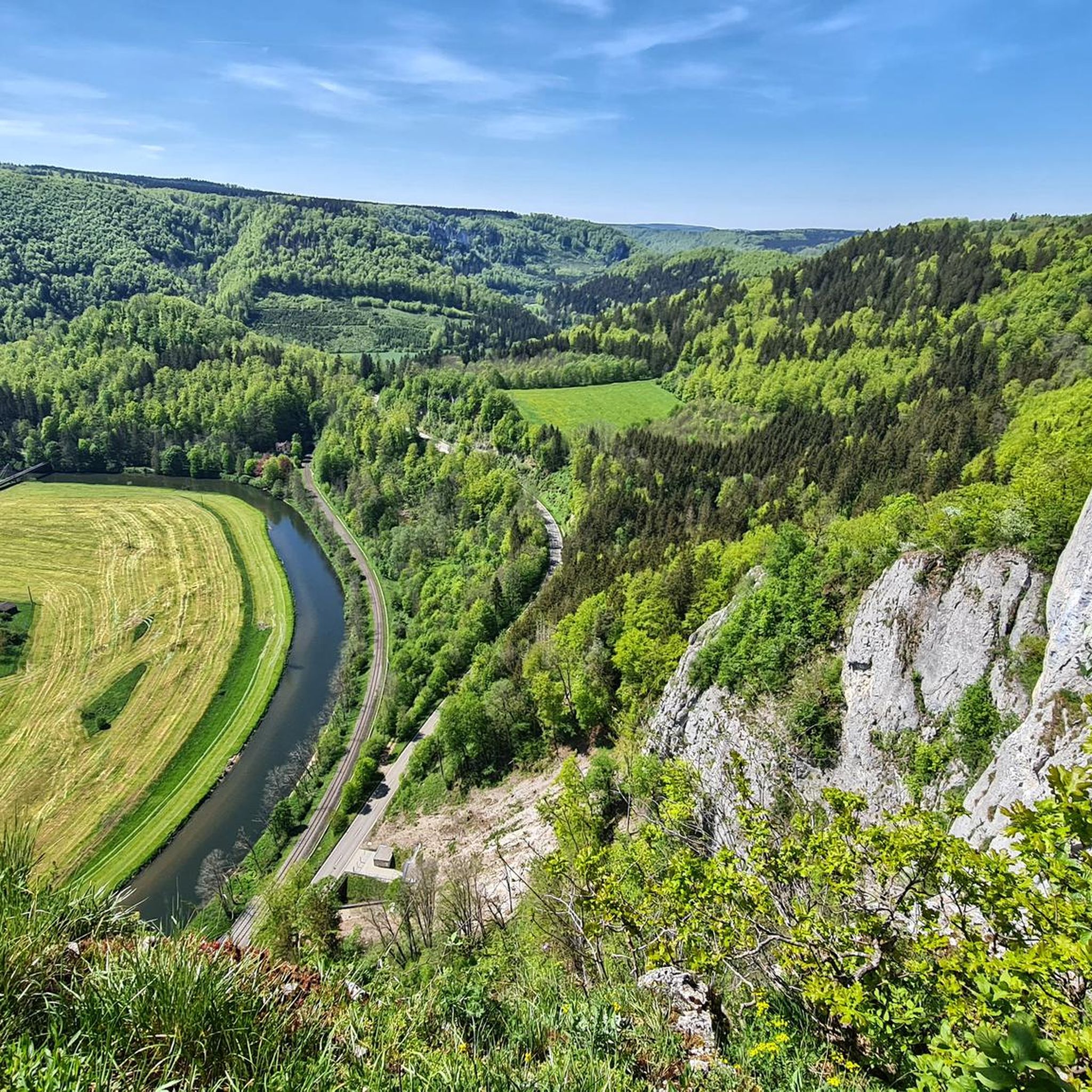
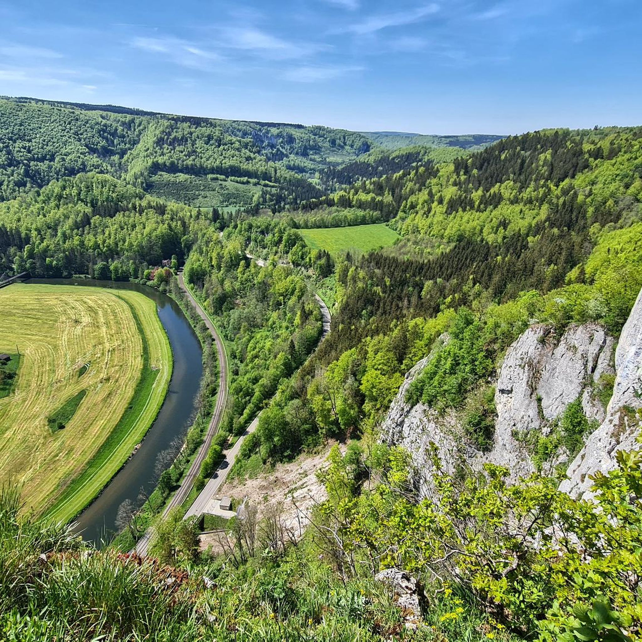
Touring cycling around Irndorf offers routes through the Upper Danube Nature Park and the Swabian Alb, characterized by rolling hills and scenic field paths. The region features the impressive Danube Canyon with its rugged cliffs and the Irndorfer Hardt nature reserve, known for its geological formations. Cyclists can explore varied terrain, from river valleys to elevated viewpoints, providing diverse experiences.
Best touring cycling routes around Irndorf
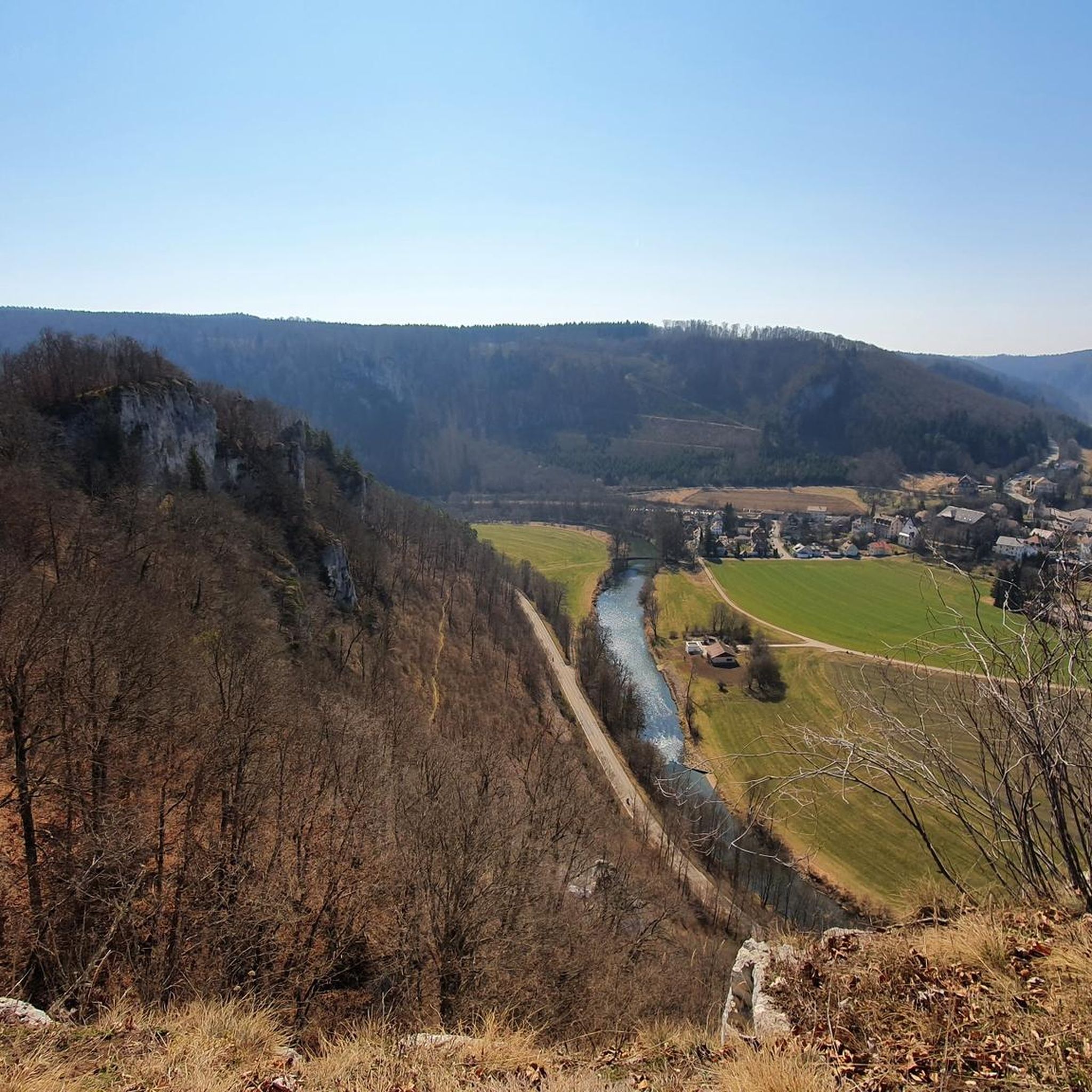
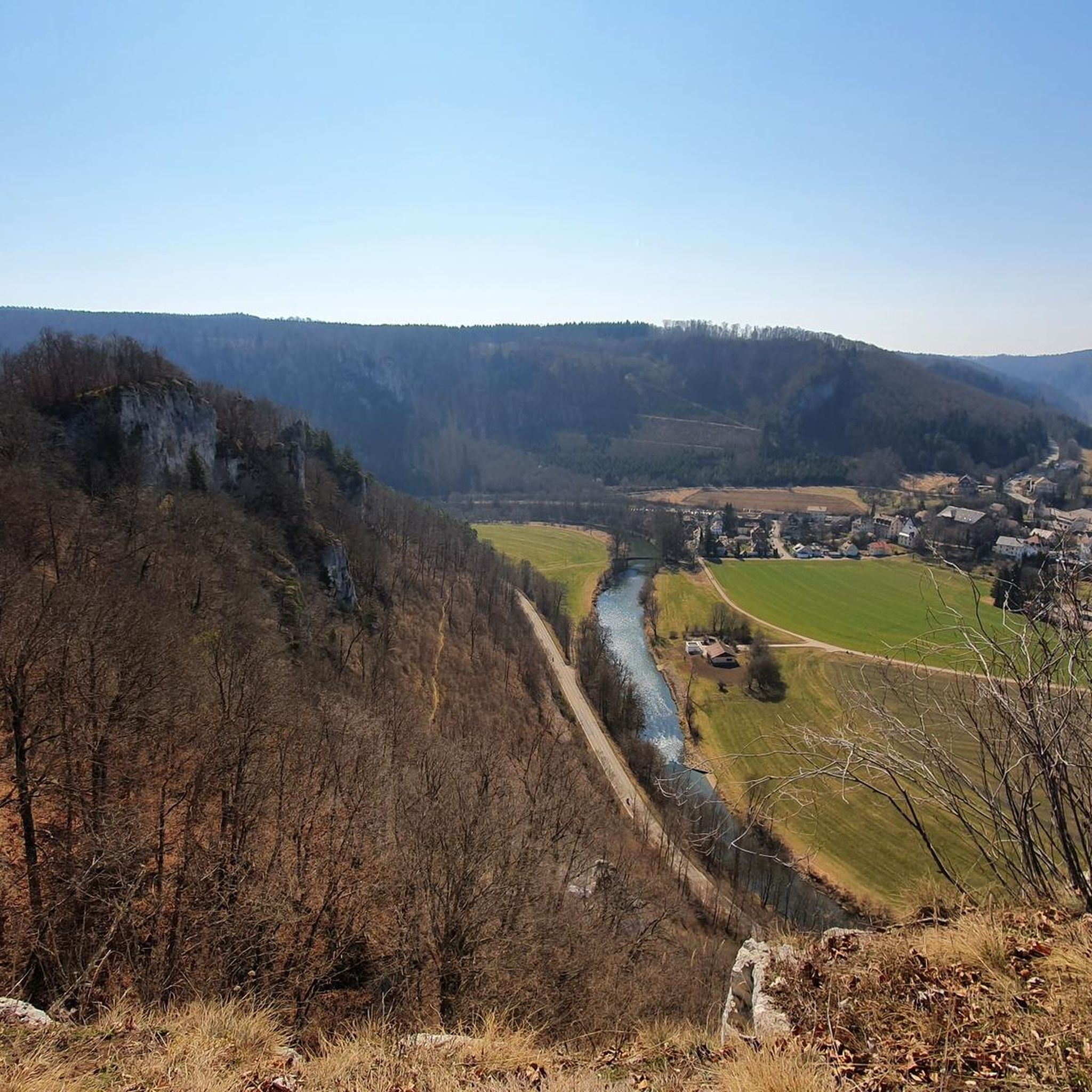
- The most popular touring cycling route is View of Beuron Abbey – Scheuerlehof Cliffs loop from Beuron, a 32.2 miles (51.8 km) trail that takes 3 hours 16 minutes to complete. This moderate route features significant elevation gain and views of the Danube Valley.
- Another top favourite among local touring cyclists is Hunter's House – View of Beuron Abbey loop from Beuron, an easy 4.8 miles (7.8 km) path. This route offers gentle gradients and passes by cultural landmarks.
- Local touring cyclists also love the View of Schloss Werenwag – View of Schloss Werenwag loop from Beuron, a 9.3 miles (15.0 km) trail leading through the scenic Danube Valley, often completed in about 1 hour 1 minute.
- Touring cycling around Irndorf is defined by rolling hills, the Danube River valley, and the limestone formations of the Swabian Alb. The network offers options for different ability levels, from easy riverside paths to more challenging routes with climbs.
- The routes in Irndorf are highly rated by the komoot community with an average score of 4.5 stars from over 3000 reviews. More than 16000 touring cyclists have used komoot to explore Irndorf's varied terrain.
Last updated: October 7, 2026
4.7
(302)
1,351
riders
51.8km
03:09
330m
330m
Moderate bike ride. Good fitness required. Mostly paved surfaces. Suitable for all skill levels.
4.7
(74)
218
riders
57.4km
03:40
600m
600m
Hard bike ride. Very good fitness required. Mostly paved surfaces. Suitable for all skill levels.

4.6
(24)
106
riders
26.9km
01:51
410m
410m
Moderate bike ride. Good fitness required. Mostly paved surfaces. Suitable for all skill levels.
4.9
(7)
77
riders
7.74km
00:33
100m
100m
Easy bike ride. Great for any fitness level. Mostly paved surfaces. Suitable for all skill levels.
5.0
(3)
38
riders
41.5km
02:46
540m
540m
Hard bike ride. Very good fitness required. Mostly paved surfaces. Suitable for all skill levels.
Get access to more routes and recommendations from other explorers.
Already have an account?
Our route recommendations are based on thousands of hikes, rides, and runs completed by other people on komoot.
Start today with a free account
Your next adventure awaits.

Other adventures around Irndorf

Tips from the Community

Already mighty mountains here on the Swabian Jura.
3
0

This a wonderful bucolic landscape and right near the bridge you cna find nice cafés, bakeries and the Golem bar, great place to appreciate the view
0
0


The Schlichemtalsperre (also Schömberger Stausee, usually just called Stausee locally) east of Schömberg in Baden-Württemberg dams the Schlichem, a tributary of the Neckar coming from the Swabian Jura. The 90.6-hectare Schömberger Stausee mit Palmbühl landscape protection area surrounds the Schlichemtalsperre. The approximately 1.35 km long and initially narrow reservoir, which widens to about 175 m towards the end, with an area of 10.4 hectares at 643.8 m above sea level, begins at the hamlet of Untere Säge and extends to the old town center of Schömberg. It has a catchment area of approximately 33.5 km², to which the Schlichem, which is already over 11 km long at the inflow, contributes almost 90%. The Hölzlegraben from the forest to the right of the lake and the Scheubühlgraben and Räßentälebach from the left flow into it. From the Vorsee forebay near the Untere Säge, a fish ladder leads to the reservoir. There is also the only bridge over the lake that can be walked and driven on. The Schlichem Viaduct can only be used by the railway. The Schlichemtalsperre was built between 1940 and 1944. The Portlandzementwerk Rudolf Rohrbach KG (today Holcim (Süddeutschland) GmbH) based in neighboring Dotternhausen, which was the client for the dam, initially used it for cooling water and electricity generation. An outdoor swimming pool built in 1935 was flooded. After the Second World War, the facility was taken over by the state of Württemberg-Hohenzollern in 1948. The reservoir was renovated from 1975 to 1983. The dam is an earth dam, and the hydropower plant within it has a capacity of 60 kW. There is a forebay, the Vorsee, which was built from 1975 to 1977. Source: https://de.wikipedia.org/wiki/Schlichemtalsperre
3
0

Opening hours have changed: Closed Mondays and Fridays, otherwise daily from 11:00 AM to 8:00 PM. From November 17th to February 8th, open only Saturdays and Sundays!
2
1
A stop for a bite to eat is definitely worth planning. Good food, very friendly service, and delicious. The cooking here is done with love.
6
1

Schömberger Reservoir
1
0

Impressive from a distance, but up close just a block - that's how we felt
1
0
Frequently Asked Questions
How many touring cycling routes are available around Irndorf?
There are over 270 touring cycling routes around Irndorf, offering a wide variety of options for different skill levels and preferences. The region is highly rated by the komoot community, with an average score of 4.5 stars from over 3000 reviews.
What kind of terrain can I expect on touring cycling routes around Irndorf?
Touring cycling around Irndorf is characterized by rolling hills, scenic field paths, and the impressive Danube River valley. You'll find routes through the Upper Danube Nature Park and the Swabian Alb, featuring limestone formations, rugged cliffs, and varied elevation profiles, from gentle riverside paths to more challenging climbs.
What is the best time of year for touring cycling in Irndorf?
The best seasons for touring cycling in Irndorf are spring and summer, when the landscape is lush and vibrant. Autumn also offers a beautiful experience with its rich, colorful foliage. These seasons generally provide pleasant weather conditions for exploring the region.
Are there easy touring cycling routes suitable for beginners or families?
Yes, Irndorf offers several easy touring cycling routes. For example, the Hunter's House – View of Beuron Abbey loop from Beuron is an easy 4.8-mile (7.8 km) path with gentle gradients, passing by cultural landmarks. Another accessible option is the View of Schloss Werenwag – View of Schloss Werenwag loop from Burg Wildenstein, which is 6.9 miles (11.1 km) long and also rated easy.
What natural features or viewpoints can I see on touring cycling routes?
The region boasts stunning natural features and viewpoints. You can cycle through the Danube Valley in the Upper Danube Nature Park, witness the rugged Scheuerlehof Cliffs, or enjoy panoramic views from the Eichfelsen, which offers a 'Grand Canyon-like view' of the Danube's breakthrough valley. The Rauher Stein also provides magnificent views of the Danube loop near St. Maurus and Wildenstein Castle.
Are there historical landmarks or attractions along the touring cycling routes?
Absolutely. Many routes pass by or near historical sites. You might encounter impressive castles like Wildenstein Castle or Bronnen Castle, and the area is dotted with historical ruins such as Ruine Pfannenstiel. The significant cultural site of Beuron Archabbey can also be integrated into your cycling routes.
Are there any circular touring cycling routes in the area?
Yes, many touring cycling routes around Irndorf are designed as loops, allowing you to start and end at the same point. An example is the View of Beuron Abbey – Scheuerlehof Cliffs loop from Beuron, a moderate 32.2-mile (51.8 km) route with significant elevation gain and views of the Danube Valley.
Where can I find parking for touring cycling routes in Irndorf?
Parking options are generally available near popular starting points for cycling routes, especially in and around towns like Beuron, which serves as a common access point for many tours in the Danube Valley. Look for designated parking areas in these villages.
Is public transport an option to access touring cycling routes?
While specific public transport options directly to every trailhead might be limited, regional bus services and train lines often connect the larger towns in the Swabian Alb and Upper Danube Nature Park. It's advisable to check local transport schedules for routes that accommodate bicycles to reach your desired starting points.
Are there places to eat or rest along the routes?
Yes, you'll find various places to eat and rest. The Hunter's House is a restaurant that can be found on some routes. Other options include the Ziegelhütte Snack Bar and the Lippach Mill, which also offers food. These spots provide opportunities for refreshments and breaks during your ride.
Are touring cycling routes around Irndorf dog-friendly?
Many touring cycling routes in natural areas like the Upper Danube Nature Park are generally dog-friendly, provided dogs are kept on a leash, especially in nature reserves or near wildlife. Always ensure your dog is fit for the distance and terrain, and carry enough water for both of you.
What do other touring cyclists say about the routes in Irndorf?
The touring cycling routes around Irndorf are highly regarded by the komoot community, with an impressive average rating of 4.5 stars from over 3000 reviews. Cyclists often praise the diverse landscapes, the well-maintained paths along the Danube, and the stunning viewpoints like the Eichfelsen and Rauher Stein.
Are there challenging routes for experienced touring cyclists?
Yes, for experienced touring cyclists seeking a more rigorous experience, the Swabian Alb region offers challenging climbs and winding roads. Routes like the Bära River Cycle Path – Bärenthal on the Bära River loop from Beuron, a moderate 12.2-mile (19.7 km) route with over 300 meters of elevation gain, provide a good workout while still enjoying the scenic beauty.
Most popular attractions around Irndorf

Get inspired with the komoot mobile app


Explore more
Browse the best Cycling routes in other regions.
